
KVR: Kelowna Trestles (Myra to Ruth)
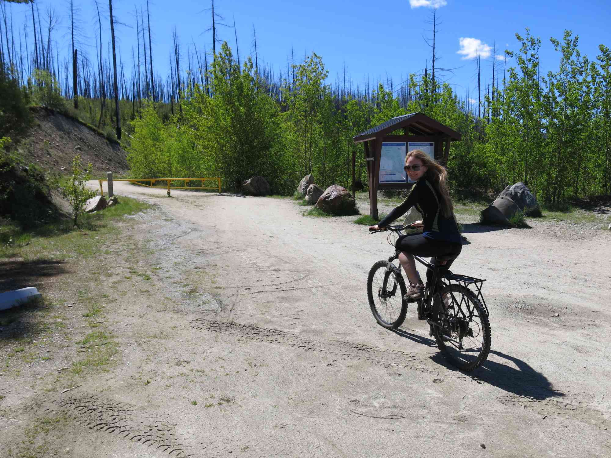
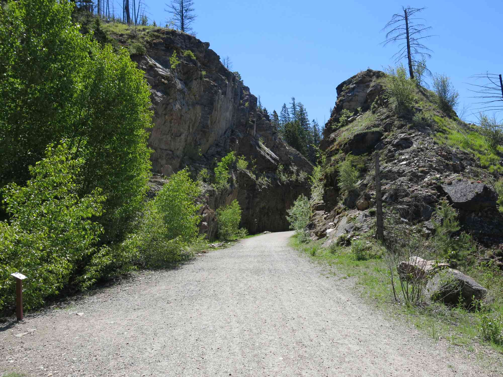
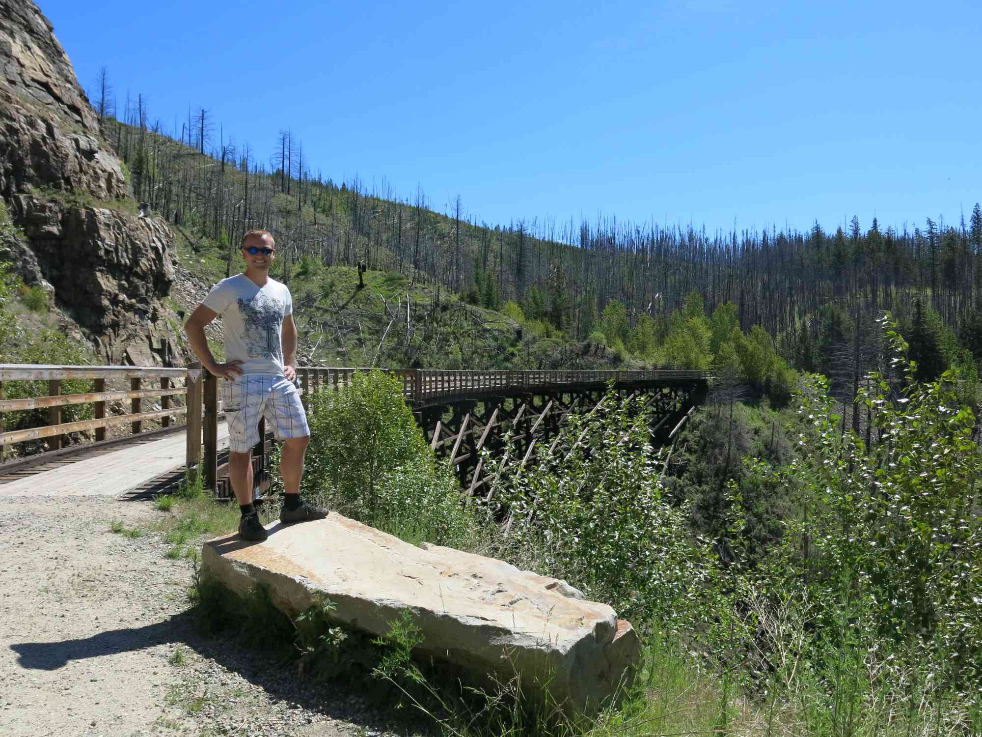
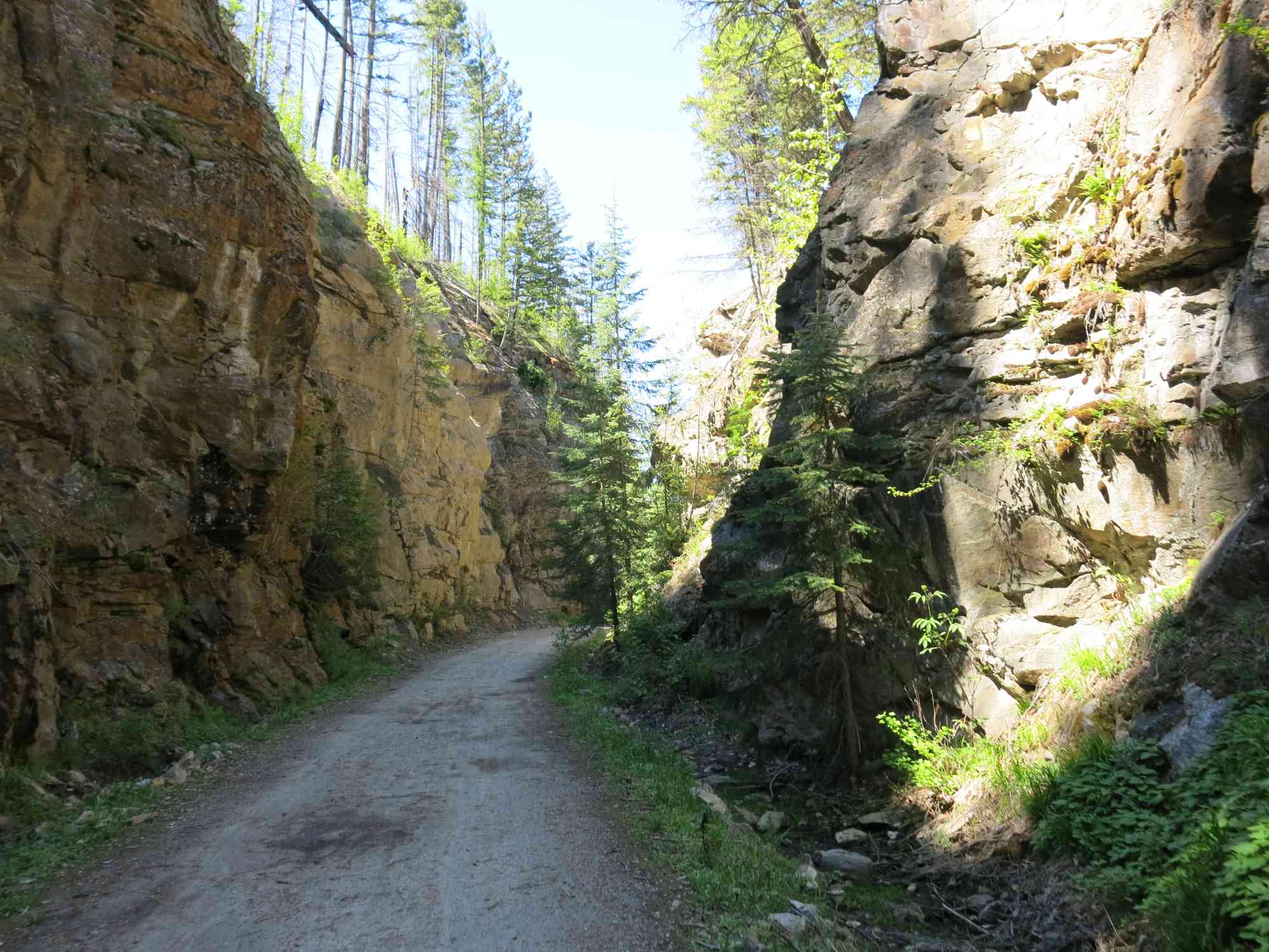
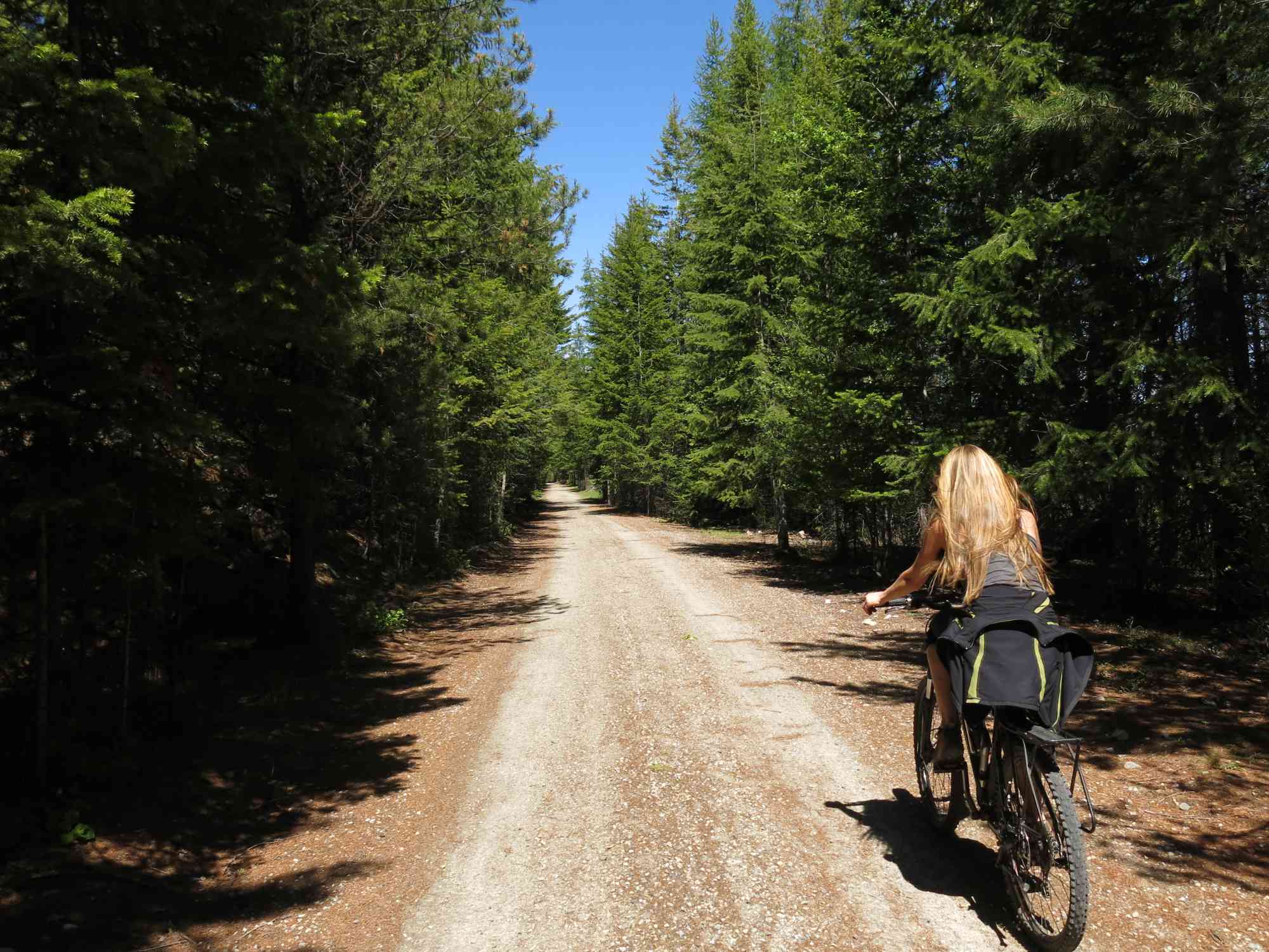
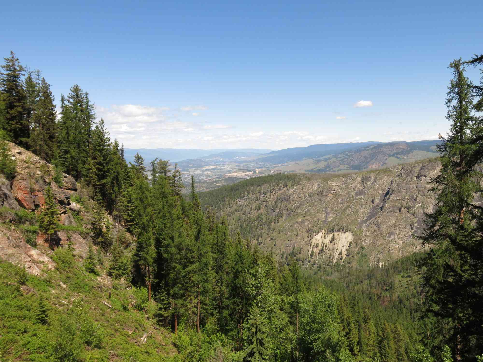
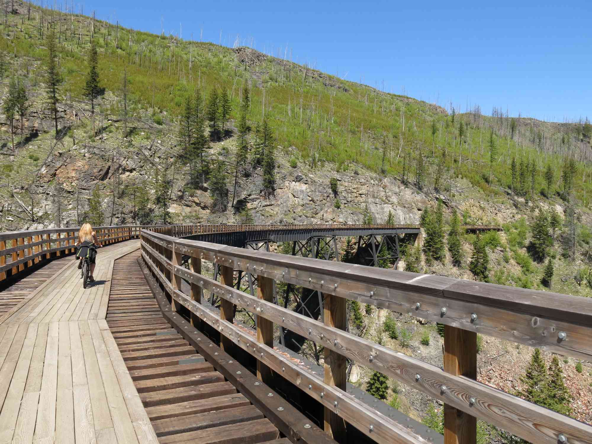
Walk the old railway trestles, reconstructed after the 2003 fires. Done more enjoyably as a bike ride.
Route
- Half-Day
- Very Easy
- Non-loop route
- 22.00 km
- 4 hr 20 min solo
- 5 hr 58 min group
- 160 m gain
- Double-Wide
Kids & Pets
- On-Leash
- Child-Friendly
- Stroller-Friendly
Features
Address
49.799297, -119.312514
Driving Time
From Downtown Kelowna, approximate travel time by car is 40 min.
Notable GPS Co-ordinates
Detailed Directions
1. Drive towards Vernon on Highway 97 from downtown.
2. Turn RIGHT on Gordon Dr, travel 2.6 km
3. Turn LEFT on KLO Rd, travel 3.9 km
4. Turn RIGHT on McCulloch, travel 1.7km
5. Turn RIGHT to stay on McCulloch, travel 6.1km
6. Turn RIGHT on the road with signage pointing to the trestles, travel 8.8km
Google Directions
Non-loop Route Check the route description and map to see whether this is an out-and-back or point-to-point trip, and plan your return accordingly. These are the recorded route statistics.
- Starting Elevation: 1263 meters
- Ending Elevation: 1244 meters
- Maximum Elevation: 1264 meters
- Minimum Elevation: 1223 meters
- Elevation Gain: 160 meters
- Elevation Loss: -170 meters
- Slope Up: 2.00%
- Slope Down: -3.00%
Estimated energy
calories
We have a downloadable GPS map for this trail!
Last Updated on Sunday, January 26, 2025
Need help using it? See our FAQ.
View Full Screen
GPS Notes We have often color-coded our GPX tracks. While it is not always the case, we have tried to use the following convention on our newer maps:
Green/Blue: human-verified by our volunteers.
Purple: overgrown trail, bushwhack, or on private property.
Red: default color or not reality-checked
Yellow: Road
Other Colors: May have been satellite traced or imported from third party sources.
While we strongly believe our GPS are accurate, please be aware that no logging system is perfect and to be aware of potential errors. Use at your own risk.
Comments
Leave a comment