
Rose Valley: Perimeter Loop
Rose Valley: Perimeter Loop
West Kelowna
12 min from Downtown Kelowna
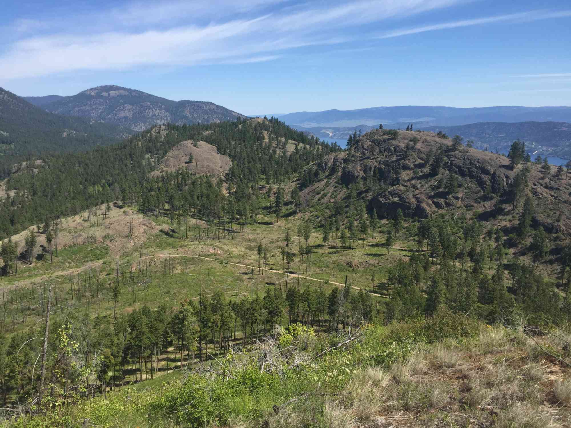
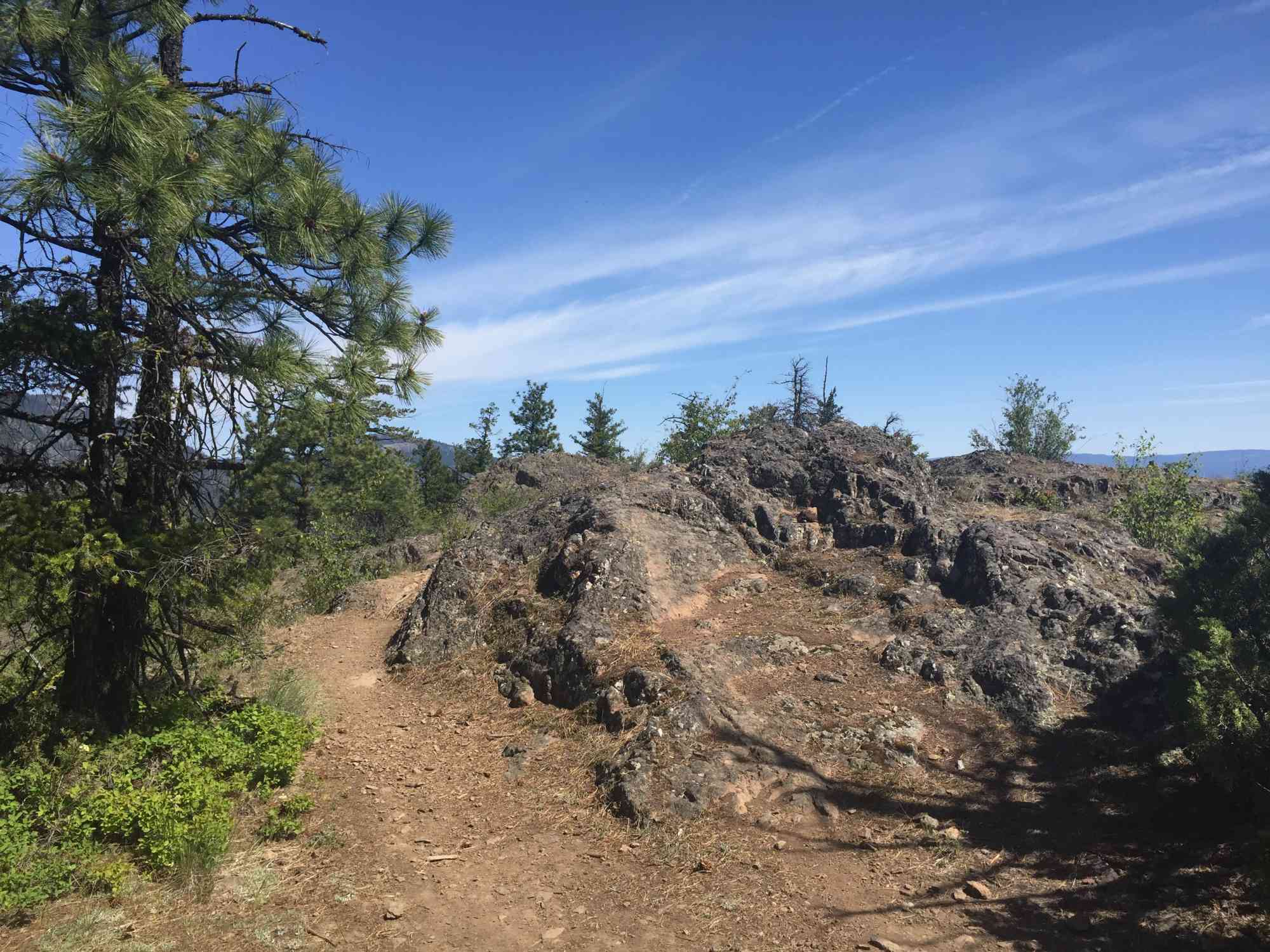
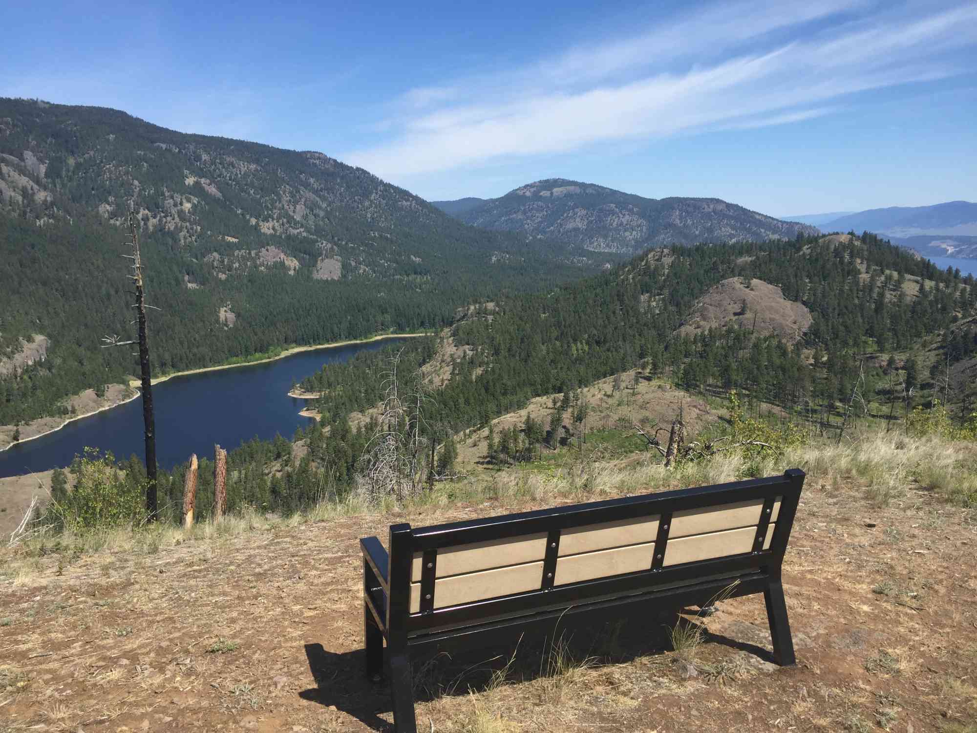
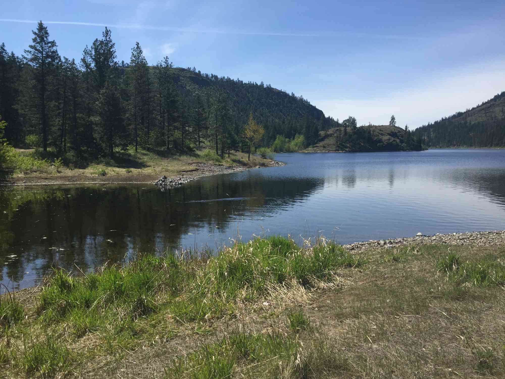
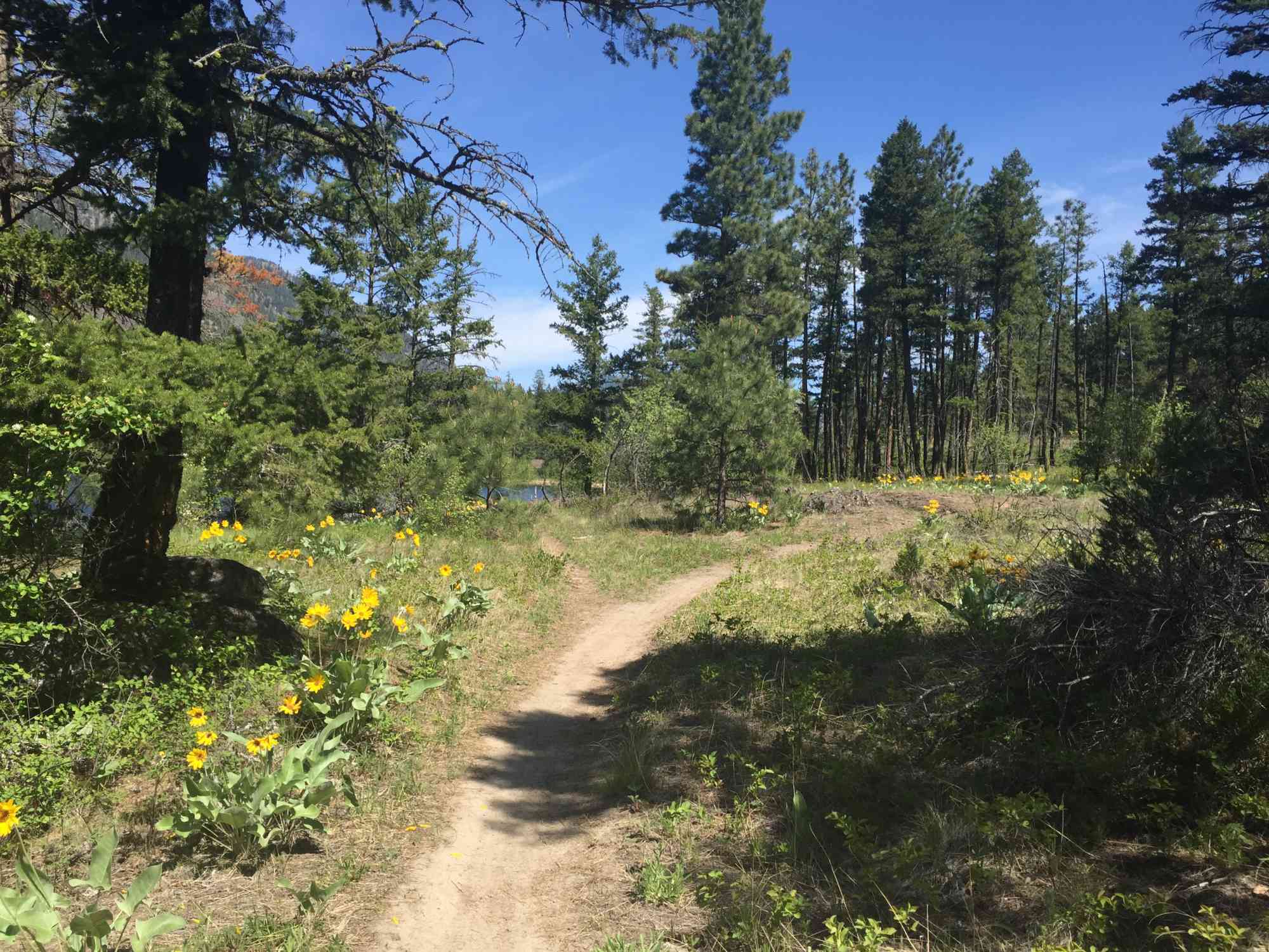
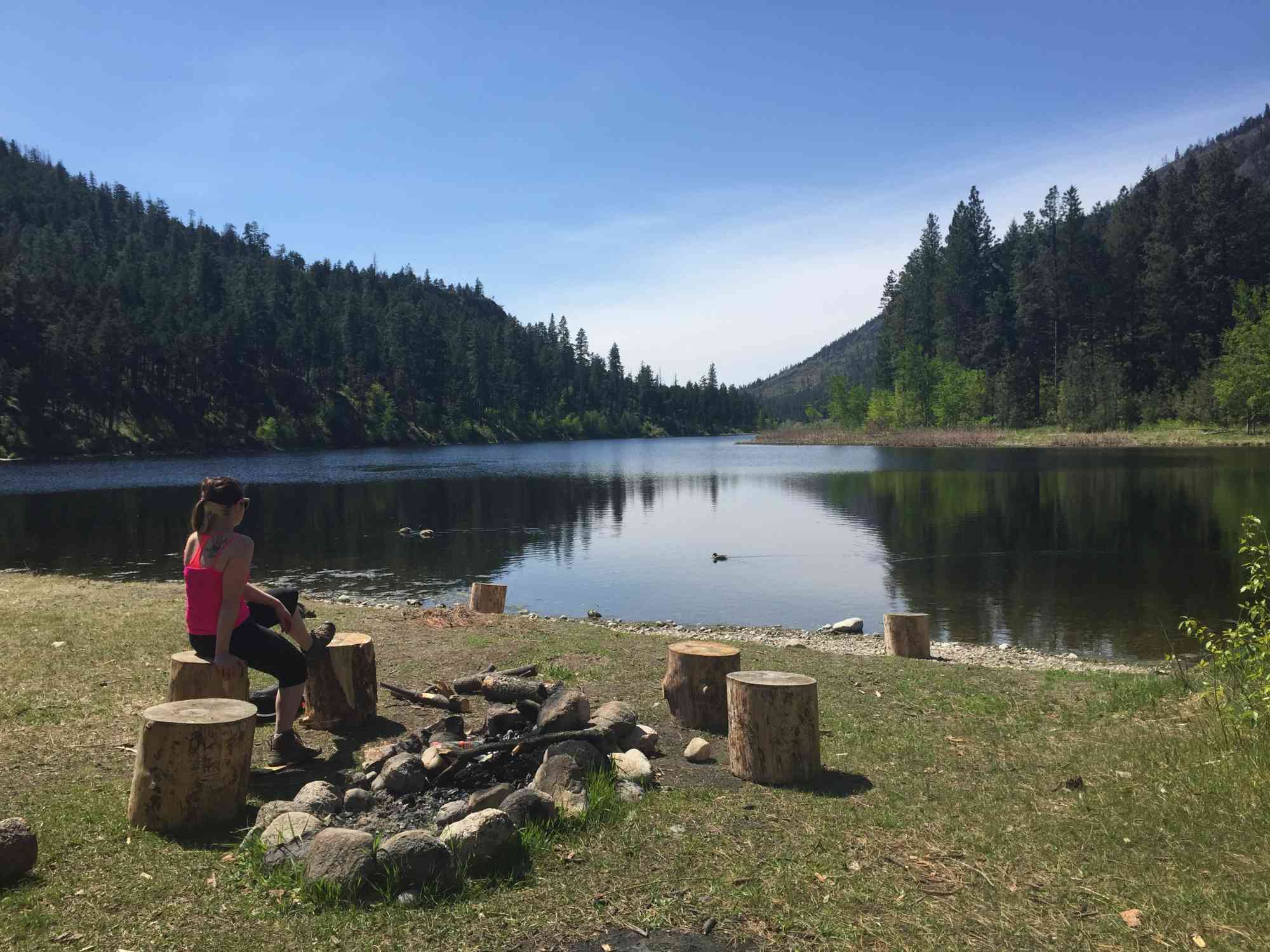
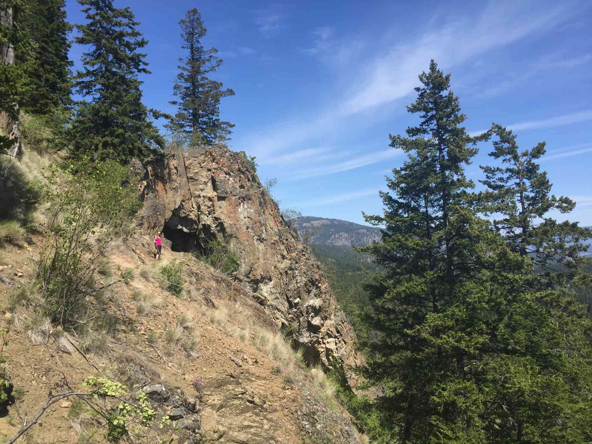
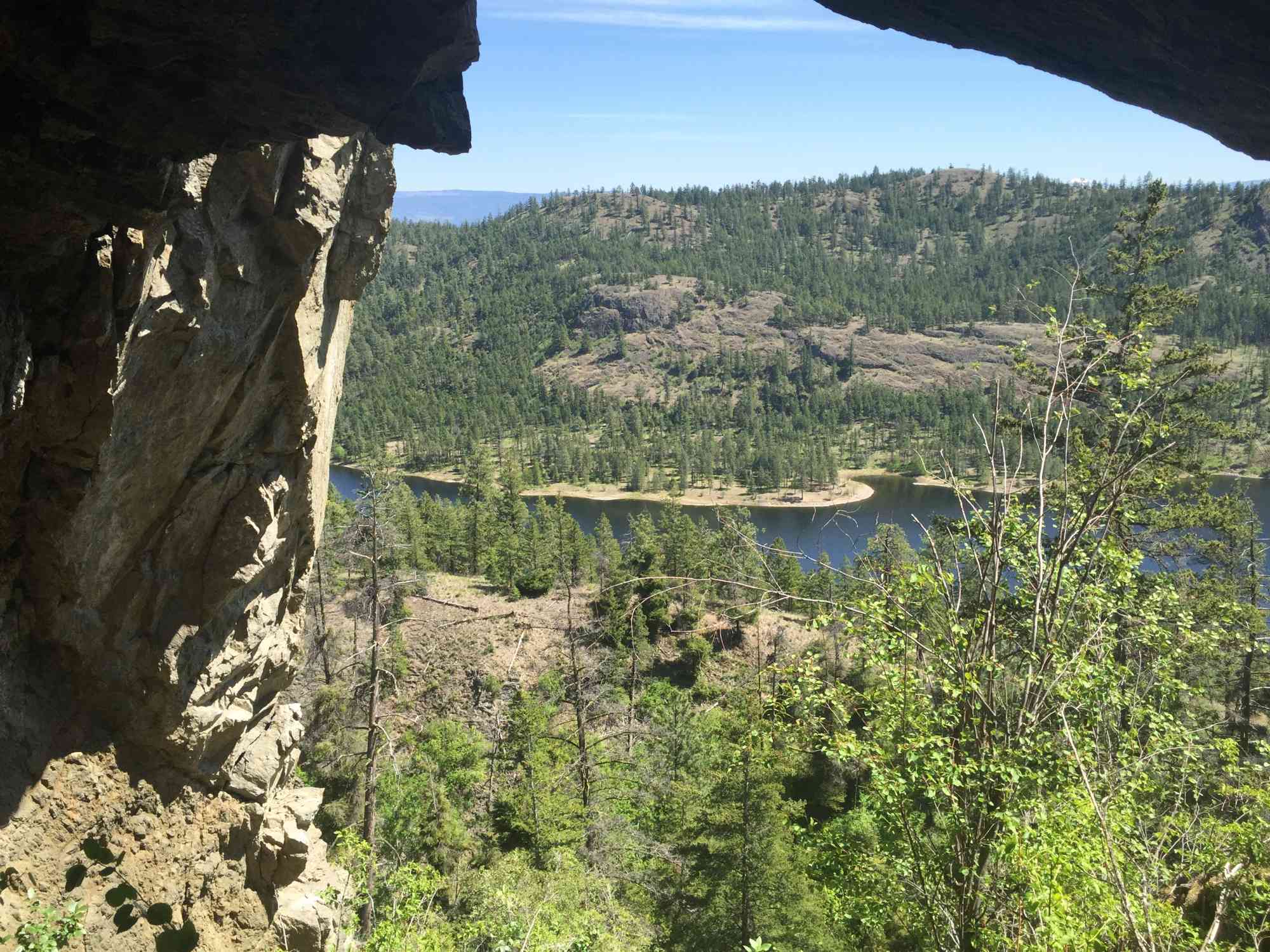
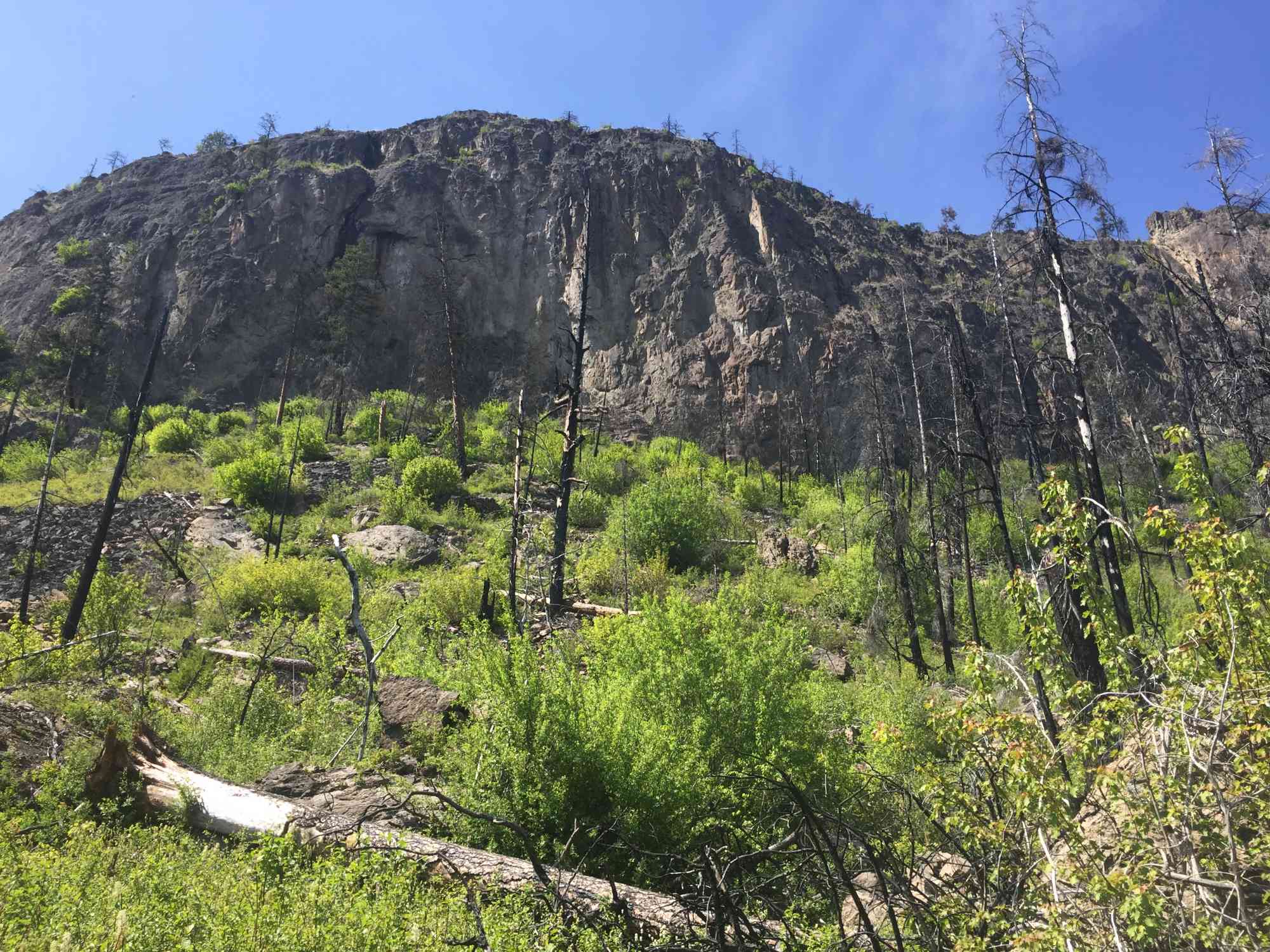
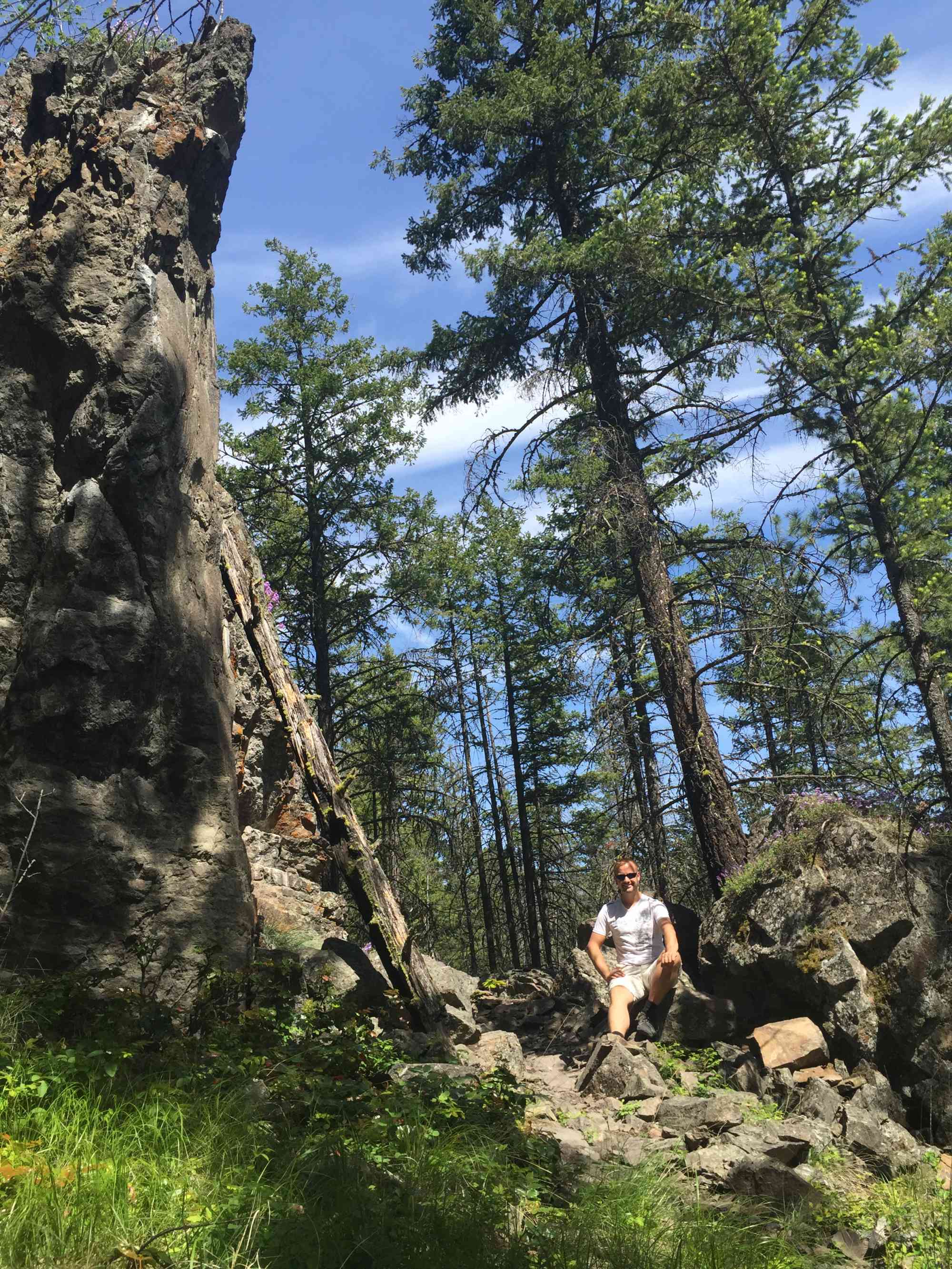
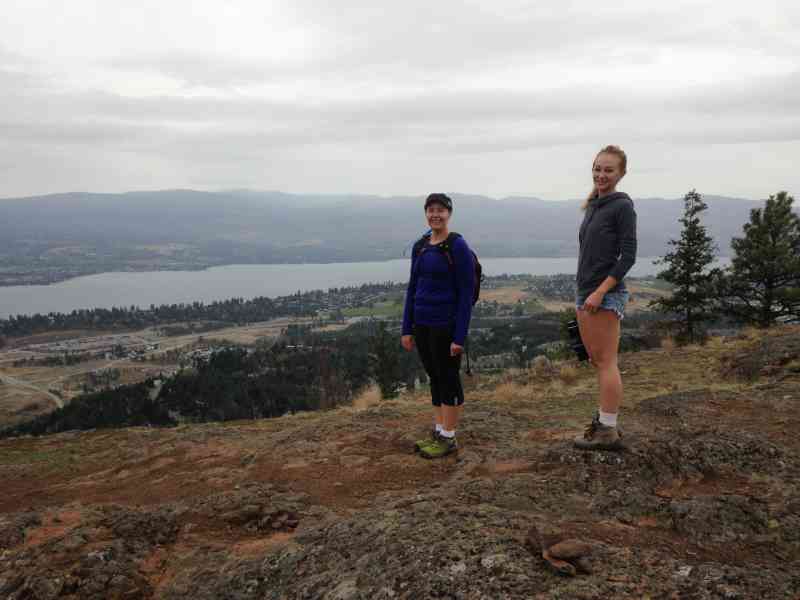
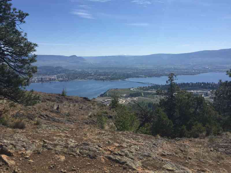
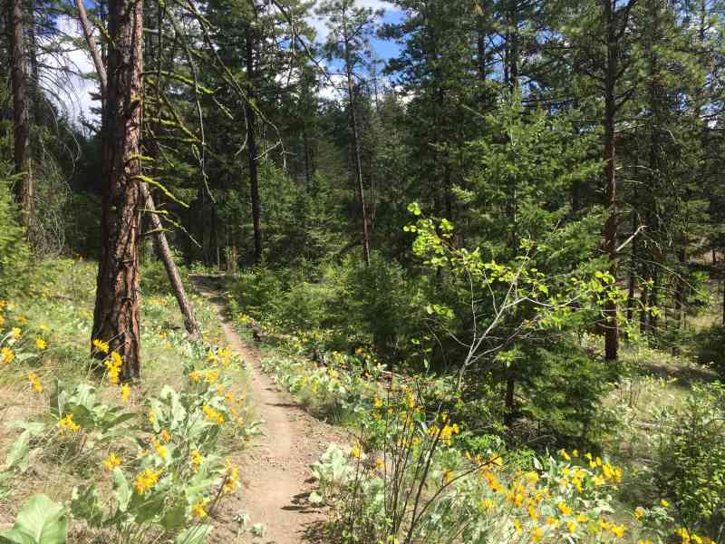
1488 Rosewood Dr, West Kelowna, BC V1Z 4B5This full perimeter loop begins with a quick right-turn to ascend to the top of the popular eastern summit, which over looks the city. Then, after a brief descent into the neck of the valley, follow a winding trail northward around the brim of the lake to the west side, past marshlands featuring numerous bullrushes. Approximately at the mid-point of the west side of the lake, turn right and head up the side of McDougall Rim (Sweet St marker). Continue to an incredible rock archway that you duck under (City on the Edge of Forever/Cave) to progress to the true summit. Meander down the mountain, keeping right at all forks to pass by a giant rock monolith and arrive at the trailhead.

Route
Kids & Pets
Features
Address
Driving Time
From Downtown Kelowna, approximate travel time by car is 12 min.
Notable GPS Co-ordinates
Detailed Directions
2) Turn RIGHT onto Westlake Rd
3) Turn LEFT onto Rosewood Dr
4) Drive to the end of the road and park in the cul-de-sac.
Google Directions
Use our written directions in preference to the Google directions below as they are likely more accurate.
We have a downloadable GPS map for this trail!
Last Updated on Thursday, March 23, 2023
Need help using it? See our FAQ.Map Waypoints
GPS Notes
Thank for the great out today Craig . I thoroughly loved it .
Monday, May 21, 2018 at 4:00 PMLeave a comment
You must Login to post a comment!