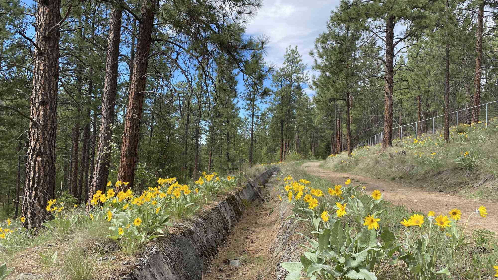
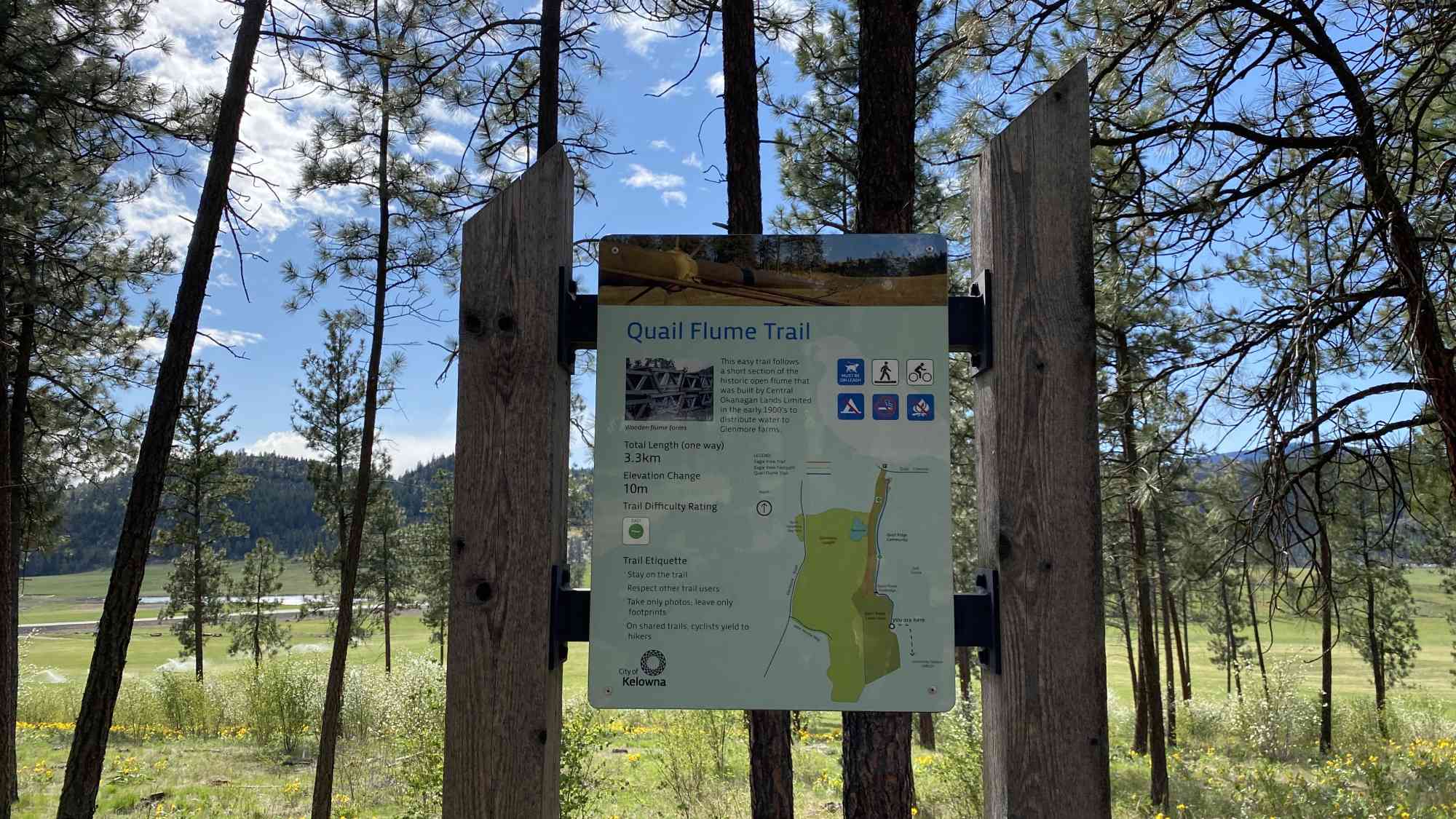
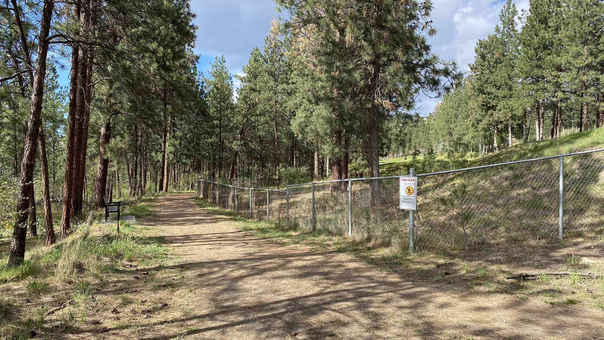
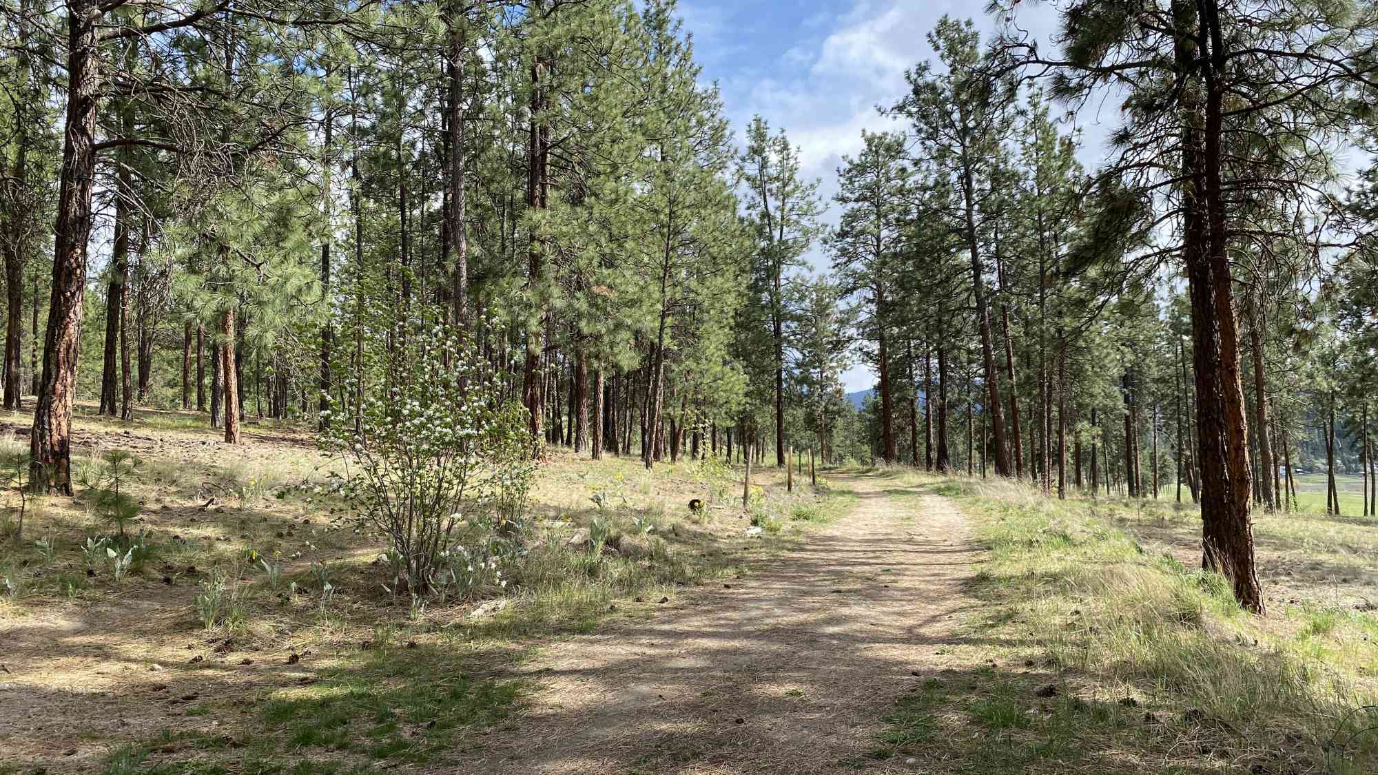
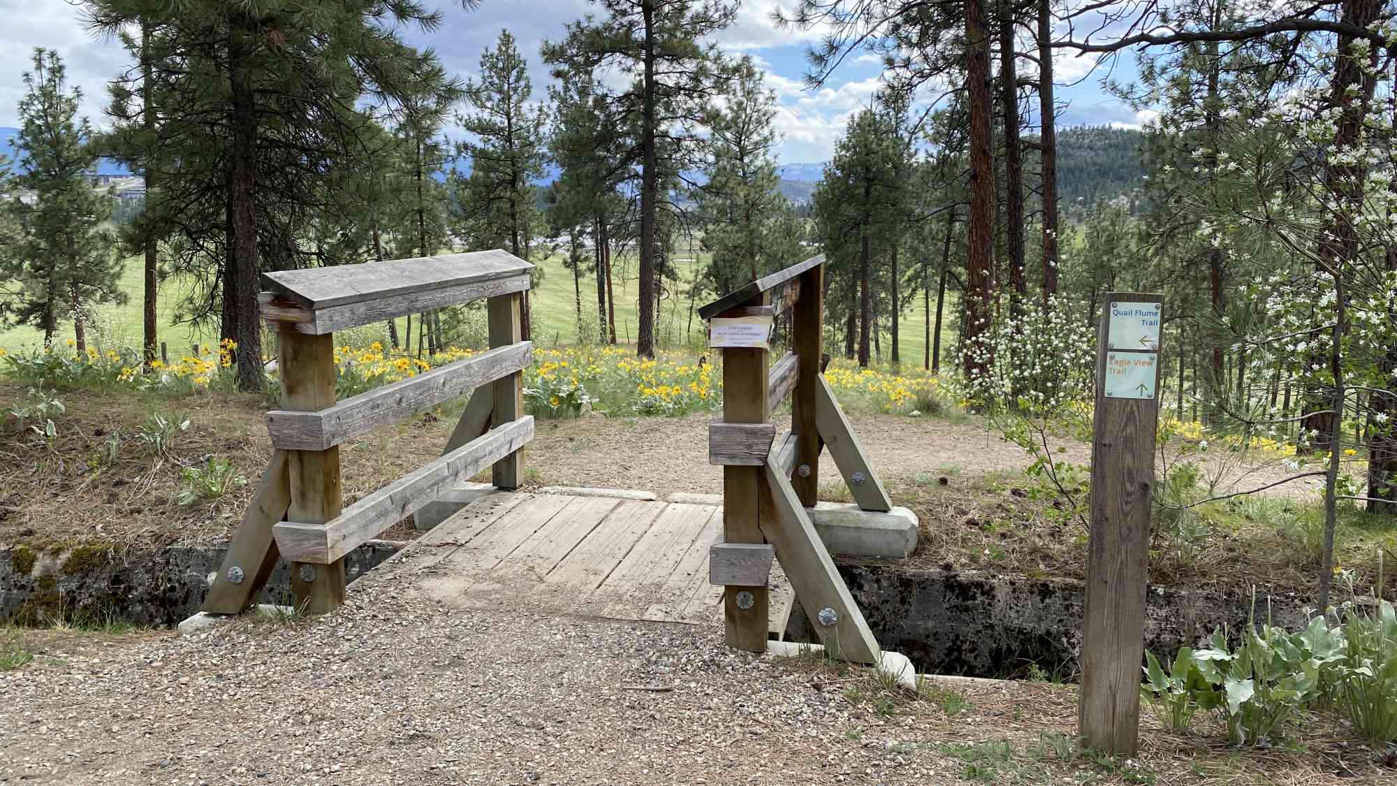
Quail Flume Trail
Used primarily as a conduit for walking between UBC-O and Quail Ridge. Short forested walkway that is essentially flat.
Route
- Short
- Very Easy
- Out & Back Same Way
- 6.44 km round-trip
- 1 hr 30 min solo
- 2 hr 17 min group
- 58 m gain
- Double-Wide
Kids & Pets
Features
Address
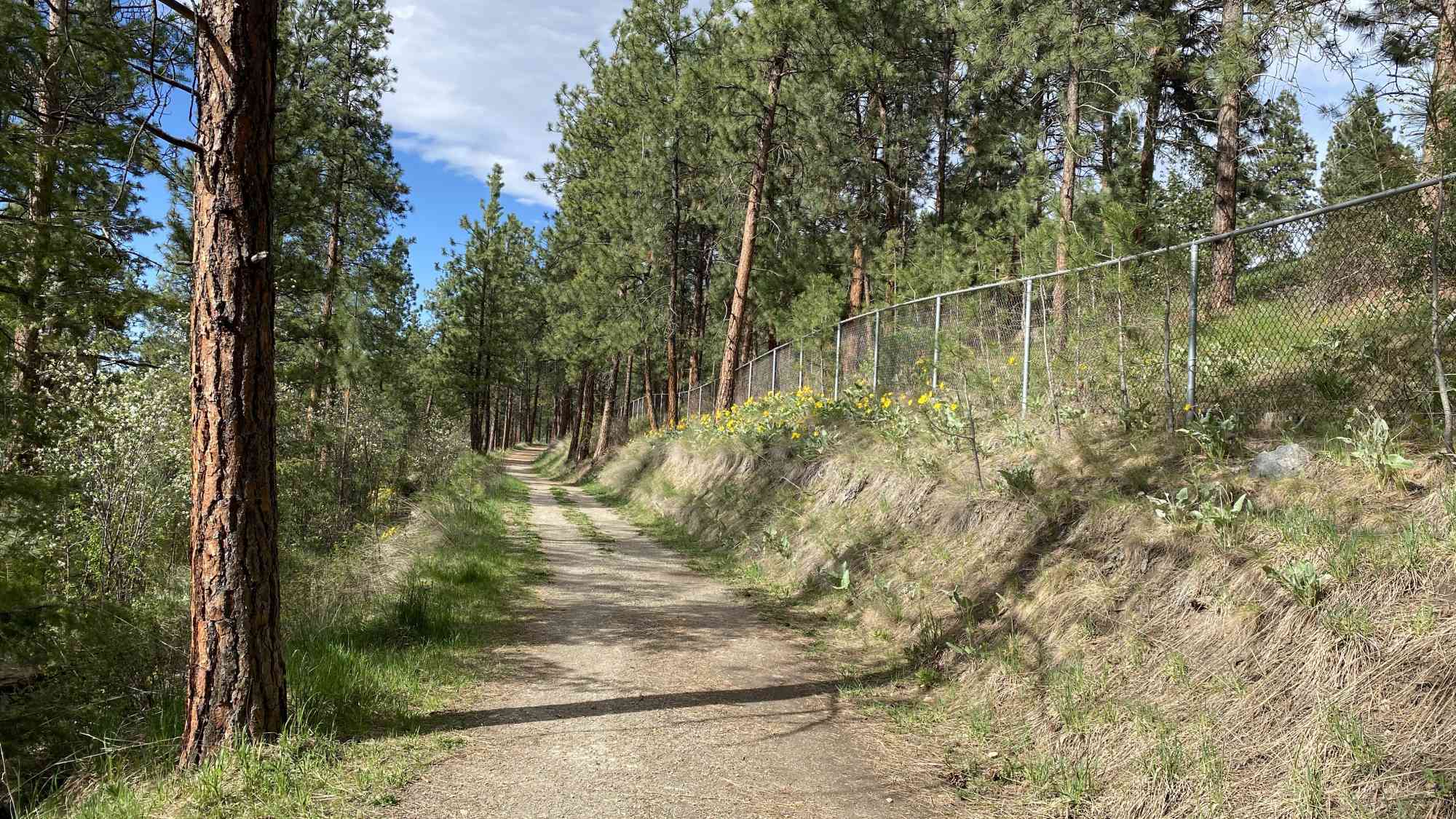
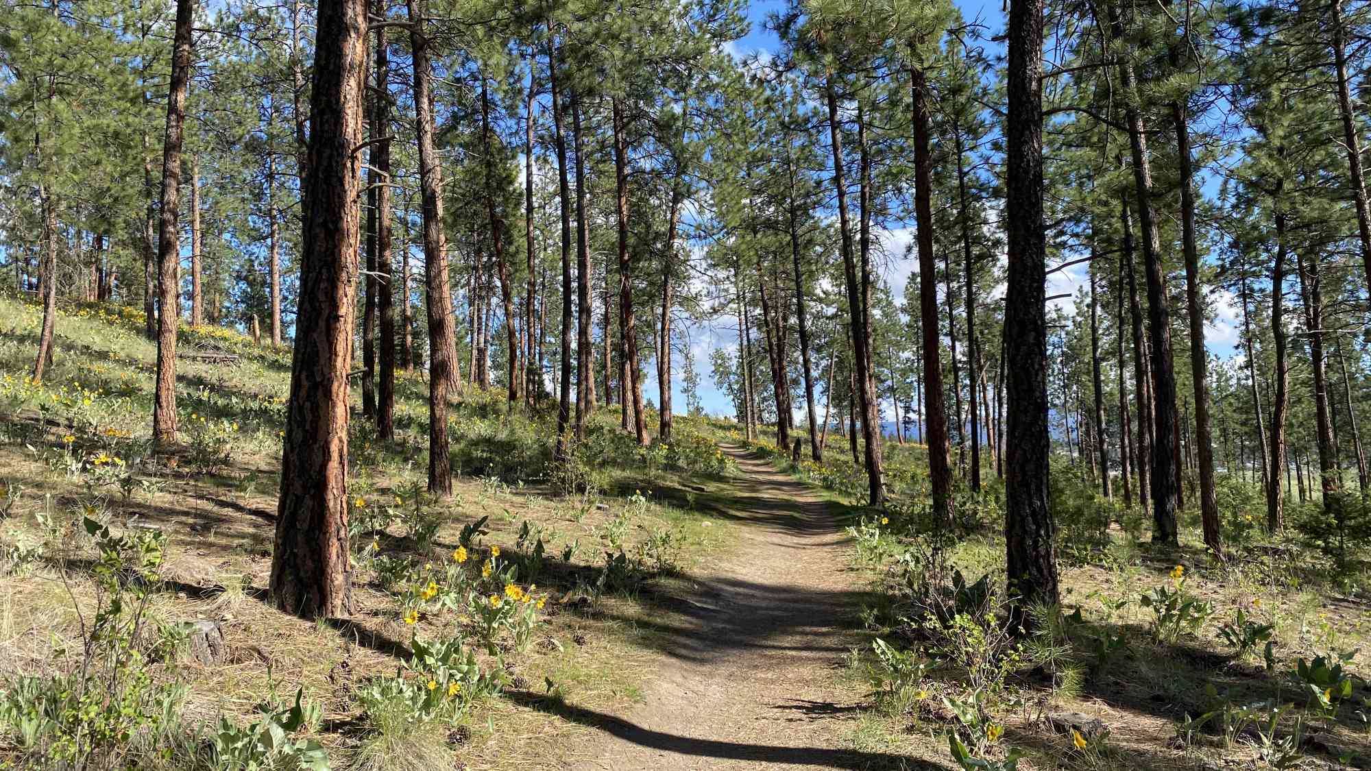
2965-3011 Quail Crescent, Kelowna, BC V1V 1Z8
Driving Time
From Downtown Kelowna, approximate travel time by car is 27 min.
Notable GPS Co-ordinates
Detailed Directions
1) Head North on highway 97 towards Vernon from downtown Kelowna.
2) Turn LEFT on Airport Way.
3) Turn RIGHT at the roundabout to continue onto Quail Ridge Blvd
4) Turn LEFT onto Quail Run Dr
5) Turn RIGHT onto Quail Ln
6) Turn LEFT onto Quail Cres and follow to end.
Google Directions
Use our written directions in preference to the Google directions below as they are likely more accurate.
Linear Trail This is a linear (out and back/not a loop) trail; the values below indicate the one-way statistics from the trailhead to the end of the route.
- Starting Elevation: 473 meters
- Ending Elevation: 472 meters
- Maximum Elevation: 488 meters
- Minimum Elevation: 472 meters
- Elevation Gain: 58 meters
- Elevation Loss: -60 meters
- Slope Up: 3.00%
- Slope Down: -3.00%
We have a downloadable GPS map for this trail!
Last Updated on Thursday, March 23, 2023
Need help using it? See our FAQ.
View Full Screen
Map Waypoints
GPS Notes We have often color-coded our GPX tracks. While it is not always the case, we have tried to use the following convention on our newer maps:
Green/Blue: human-verified by our volunteers.
Purple: overgrown trail, bushwhack, or on private property.
Red: default color or not reality-checked
Yellow: Road
Other Colors: May have been satellite traced or imported from third party sources.
While we strongly believe our GPS are accurate, please be aware that no logging system is perfect and to be aware of potential errors. Use at your own risk.
Leave a comment
You must Login to post a comment!