
Pincushion via Trepanier
Pincushion via Trepanier
Peachland
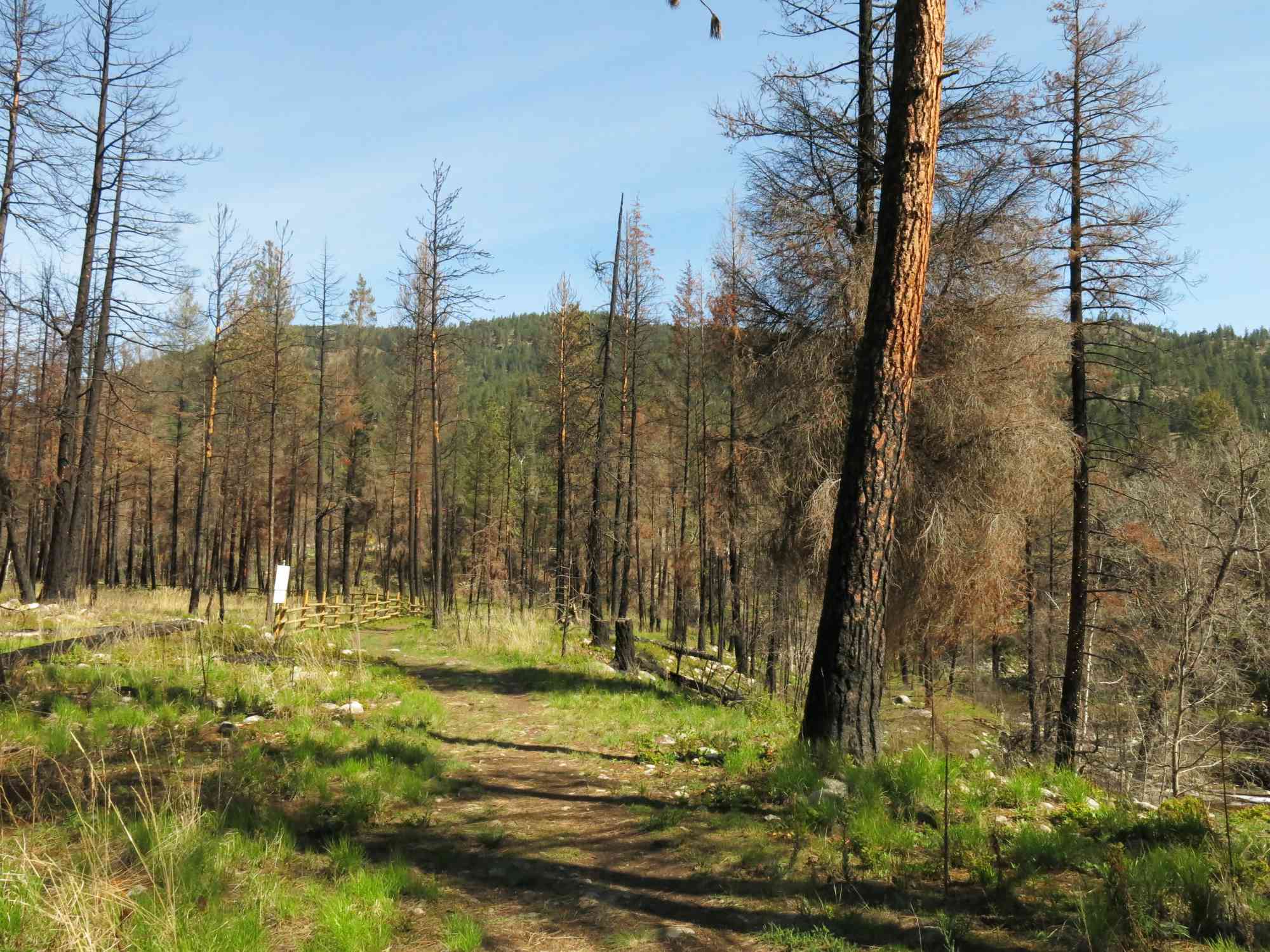
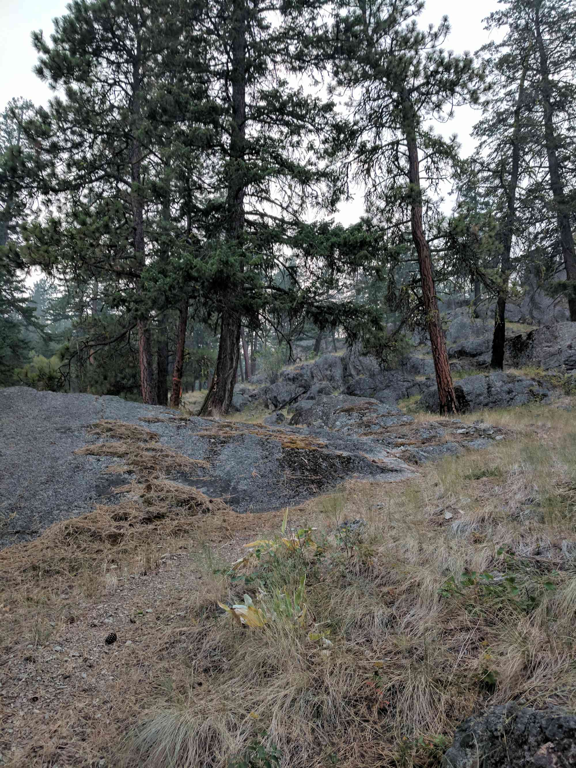
The trail at Trepanier Greenway follows the creek for a scenic winding flat path until the exciting and gruelling uphill battle to reach the apex of Pincushion Mountain! Bring your trail-sense with you, or the GPS map, as there is a brief section which grosses over a gravel construction yard (as of 2014).


Route
Kids & Pets
Features
Address
Driving Time
From Downtown Kelowna, approximate travel time by car is 22 min.
Notable GPS Co-ordinates
Detailed Directions
1) From downtown Kelowna, head across the bridge towards Penticton.
2) Take the Highway 97C (connector) exit towards Merritt/Vancouver.
3) After passing the Visitor Info centre on your left, take the Trepanier Rd exit.
4) Go until the highway to the left and park at the trailhead.
Google Directions
Use our written directions in preference to the Google directions below as they are likely more accurate.
We have a downloadable GPS map for this trail!
Last Updated on Thursday, March 23, 2023
Need help using it? See our FAQ.
Anyone have any idea about the condition of the Trepanier to Pincushion Mtn trail this spring? Any info much appreciated.
Tuesday, March 9, 2021 at 6:37 PMAlan
Walked to top of Pincushion via Trepanier creek trail. The creek trails is a little muddy but in excellent shape. The access trail from the creek trail up to the main Pincushion trail is very lightly used and overgrown but very manageable. Having a gps track to follow was very useful for that part. Lots of ice up high on the main trail. A beautiful hike!
Tuesday, March 16, 2021 at 2:20 PMLeave a comment
You must Login to post a comment!