
Peach Cliff
Peach Cliff
OK Falls
22 min from Downtown Pentiction
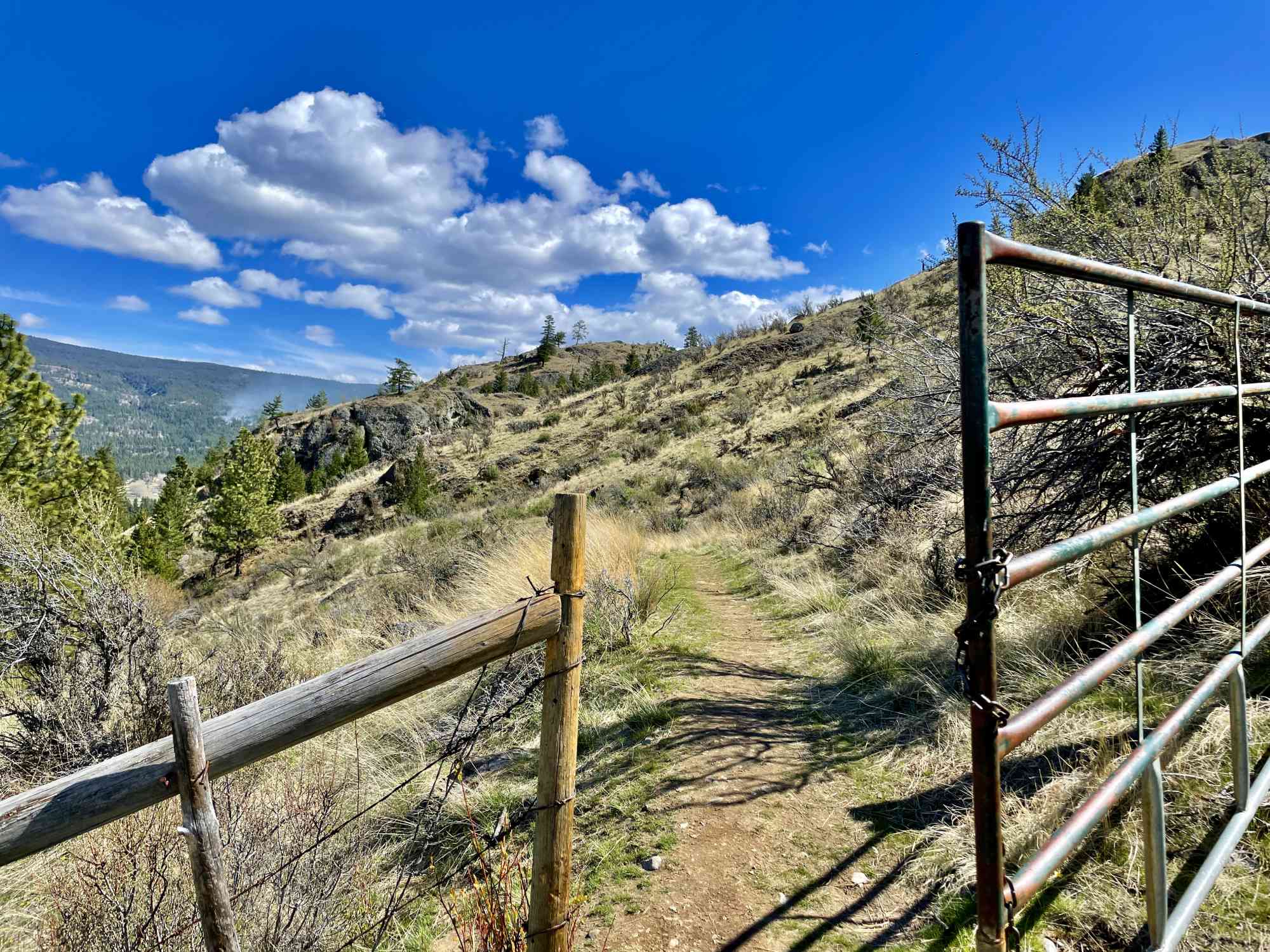
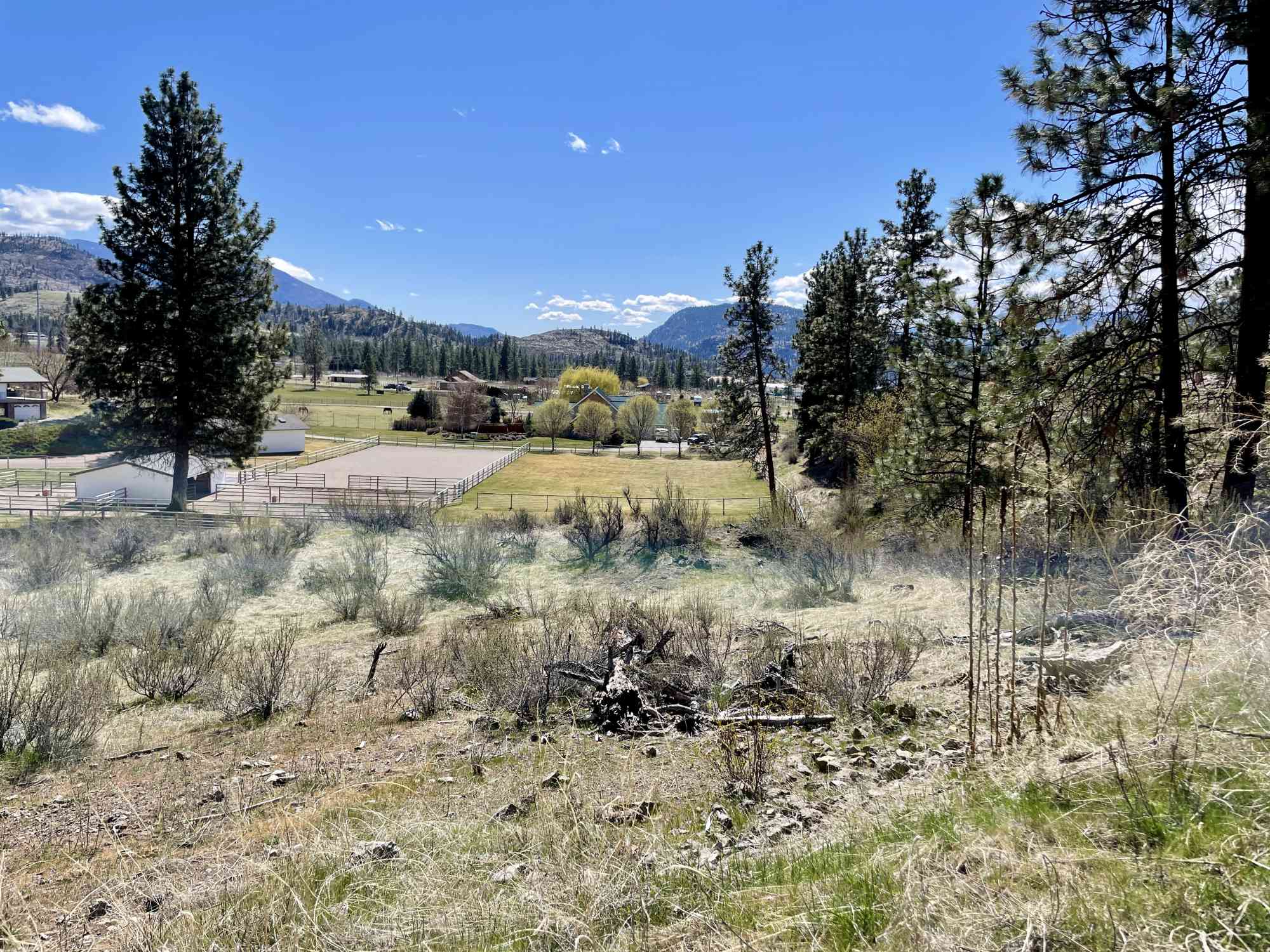
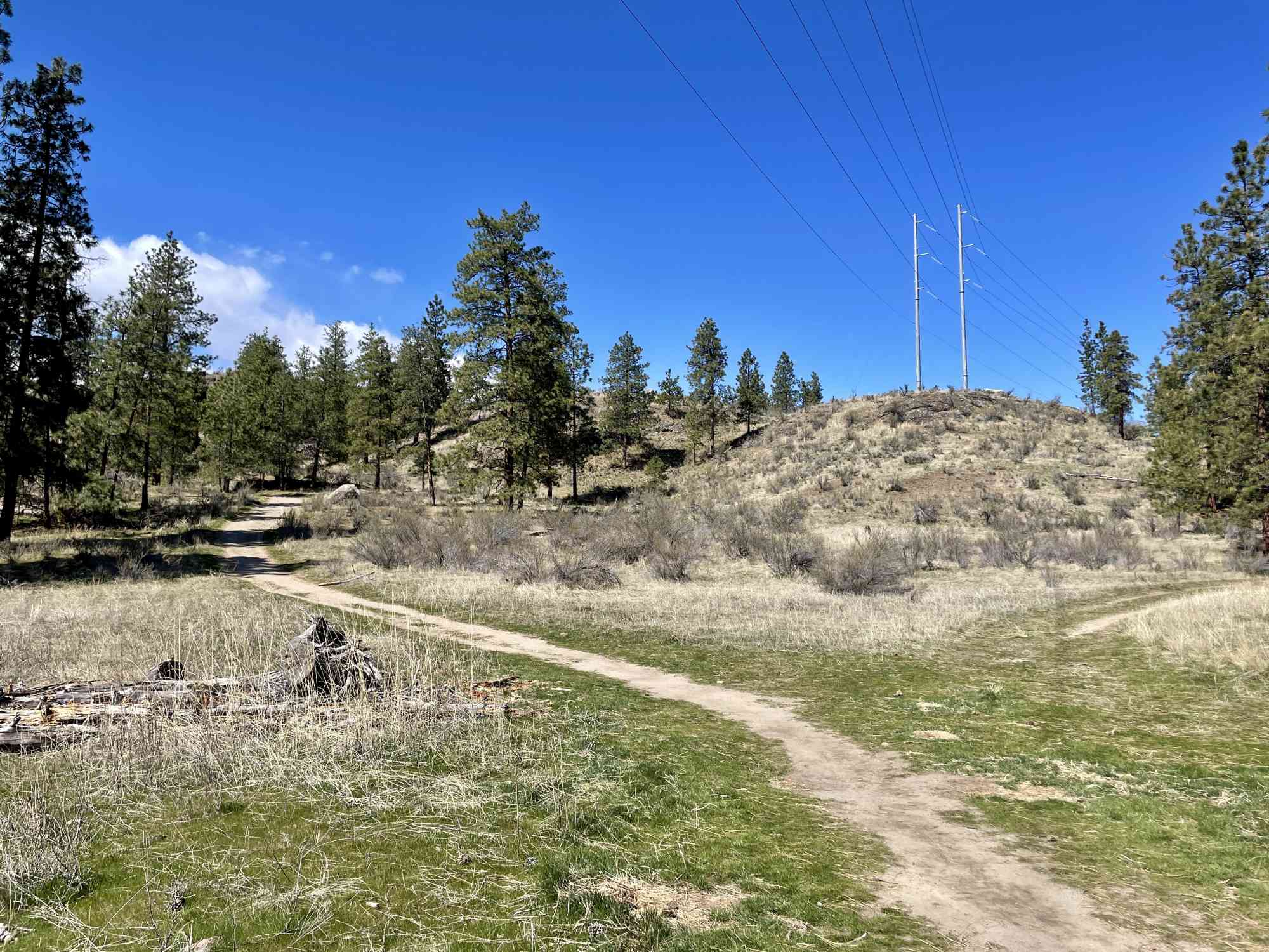
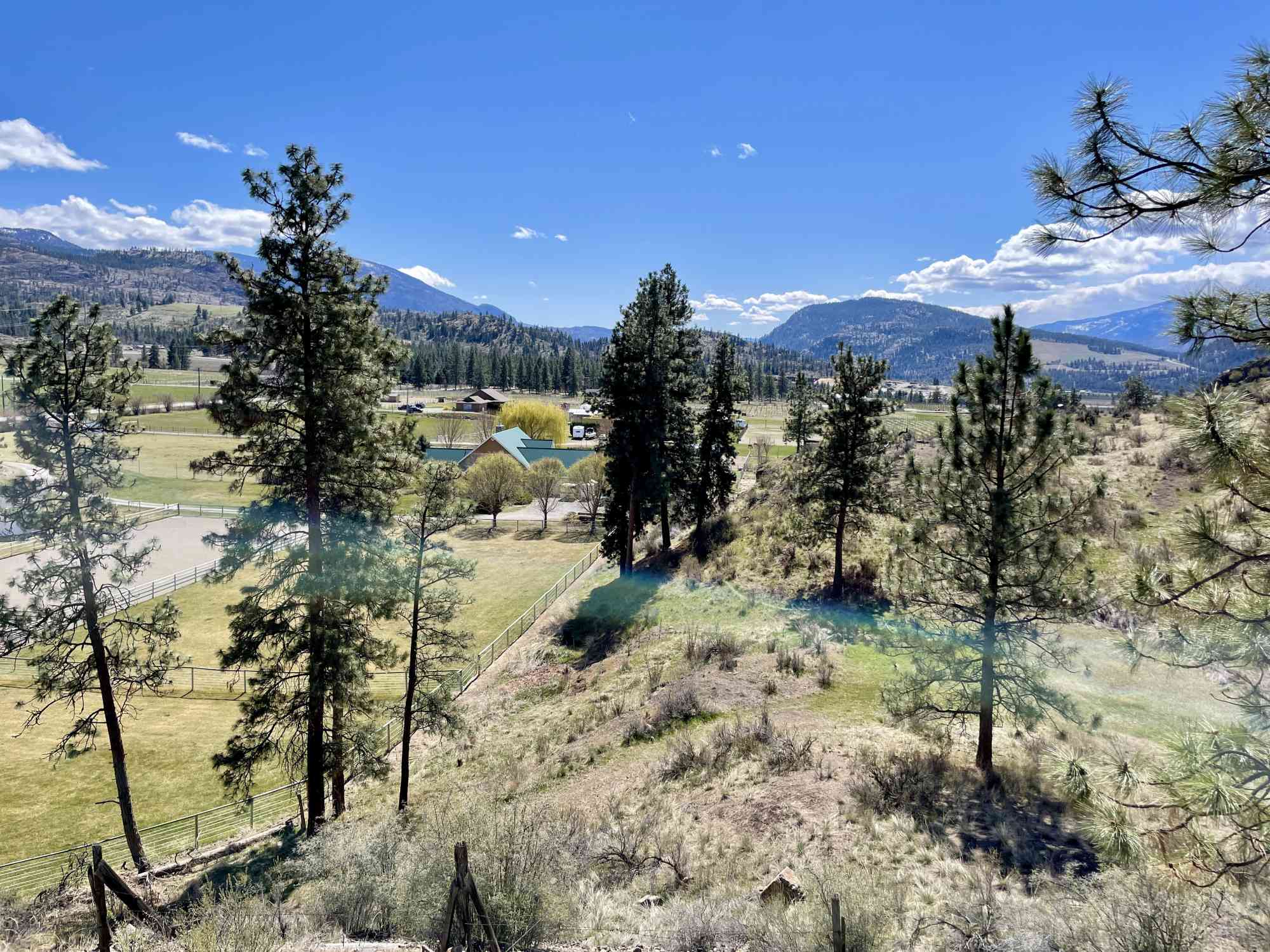
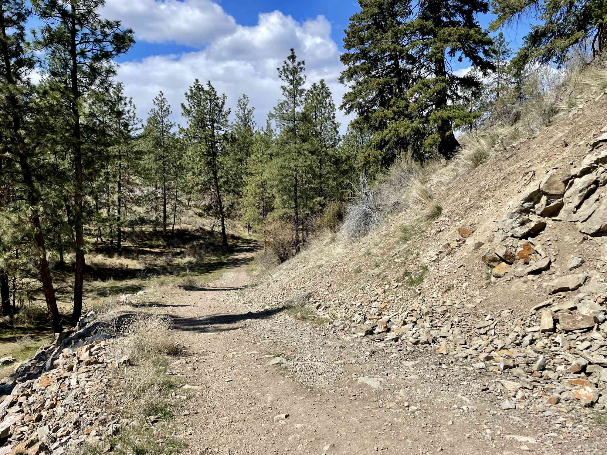
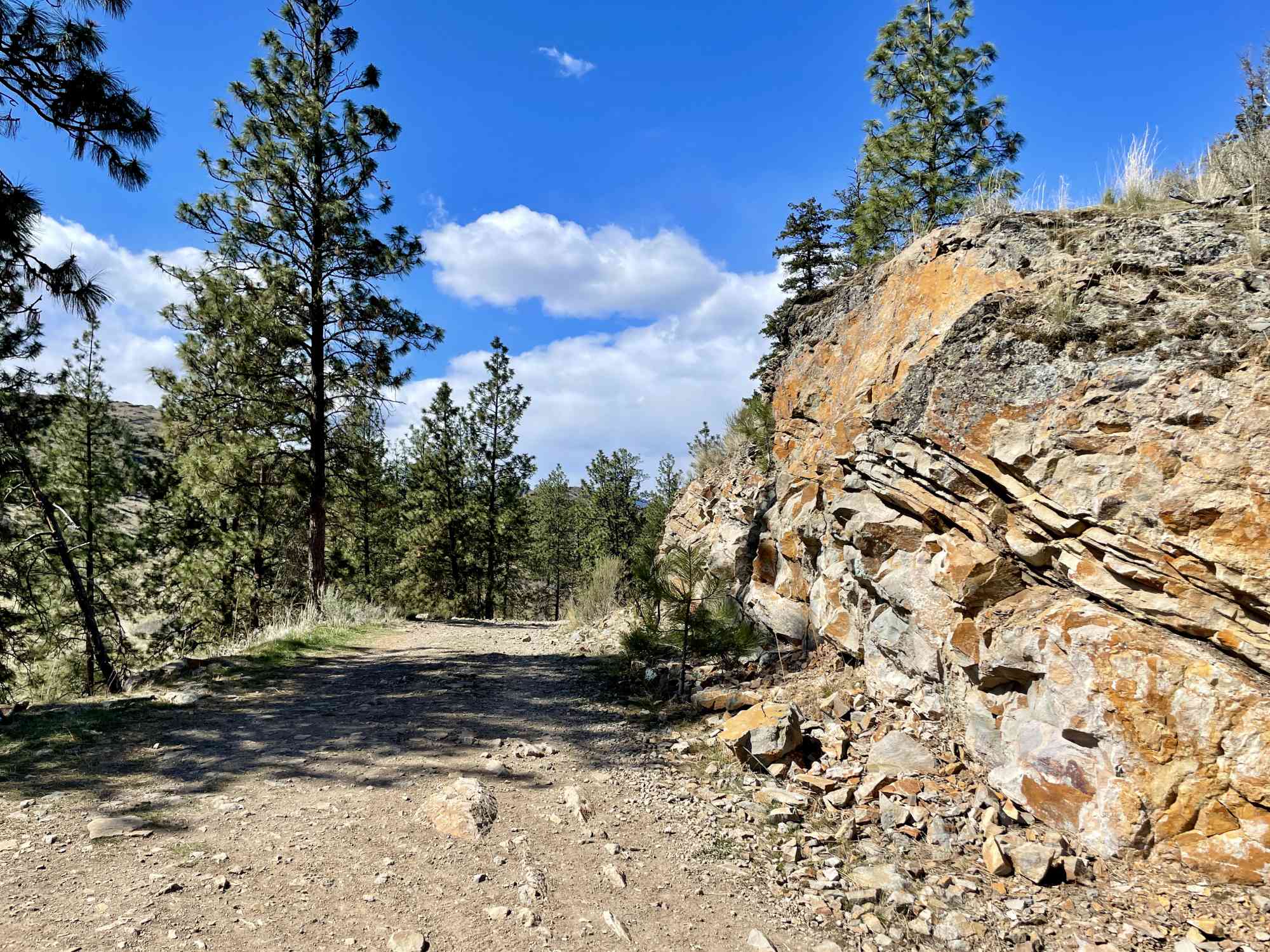
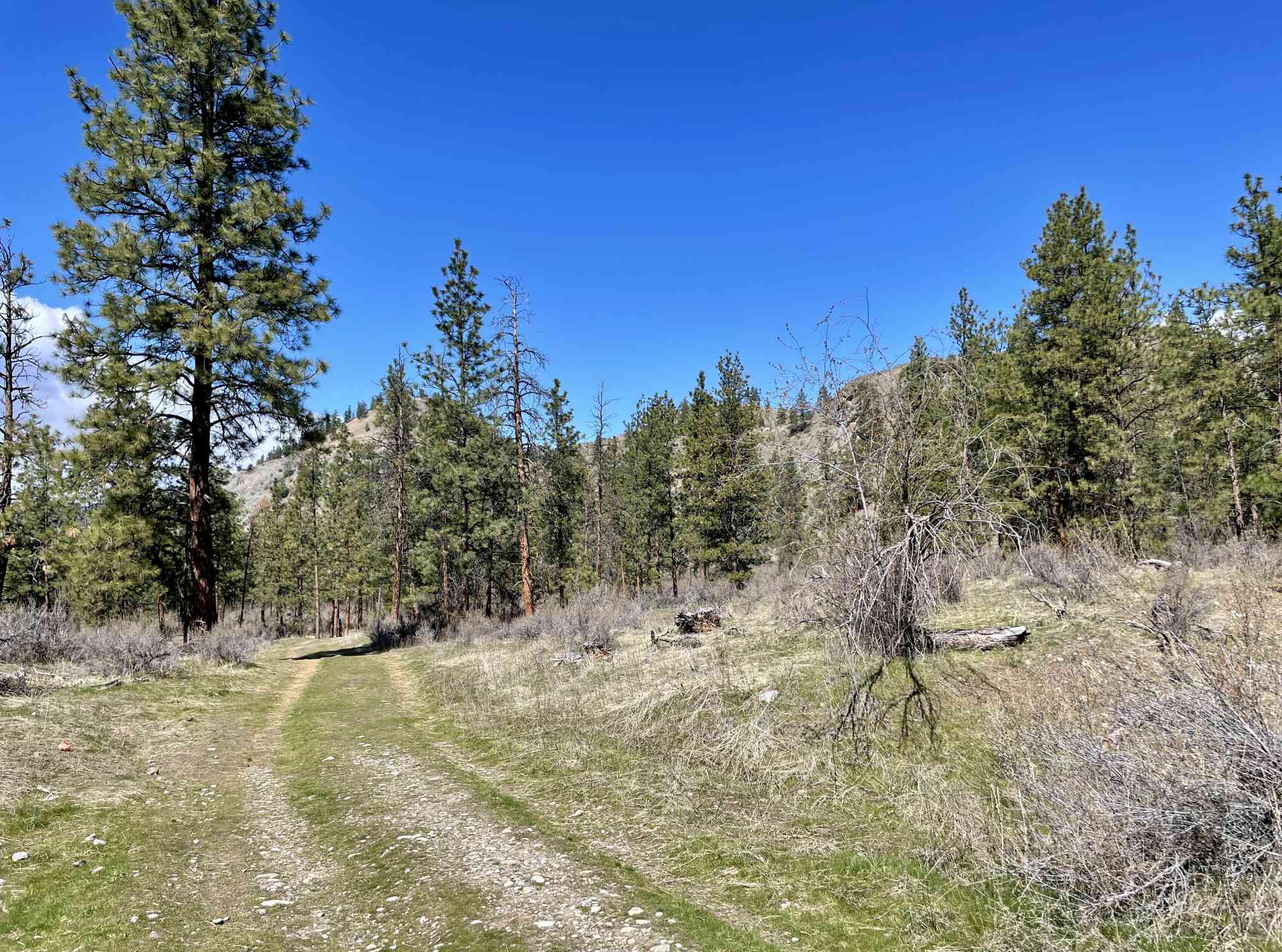
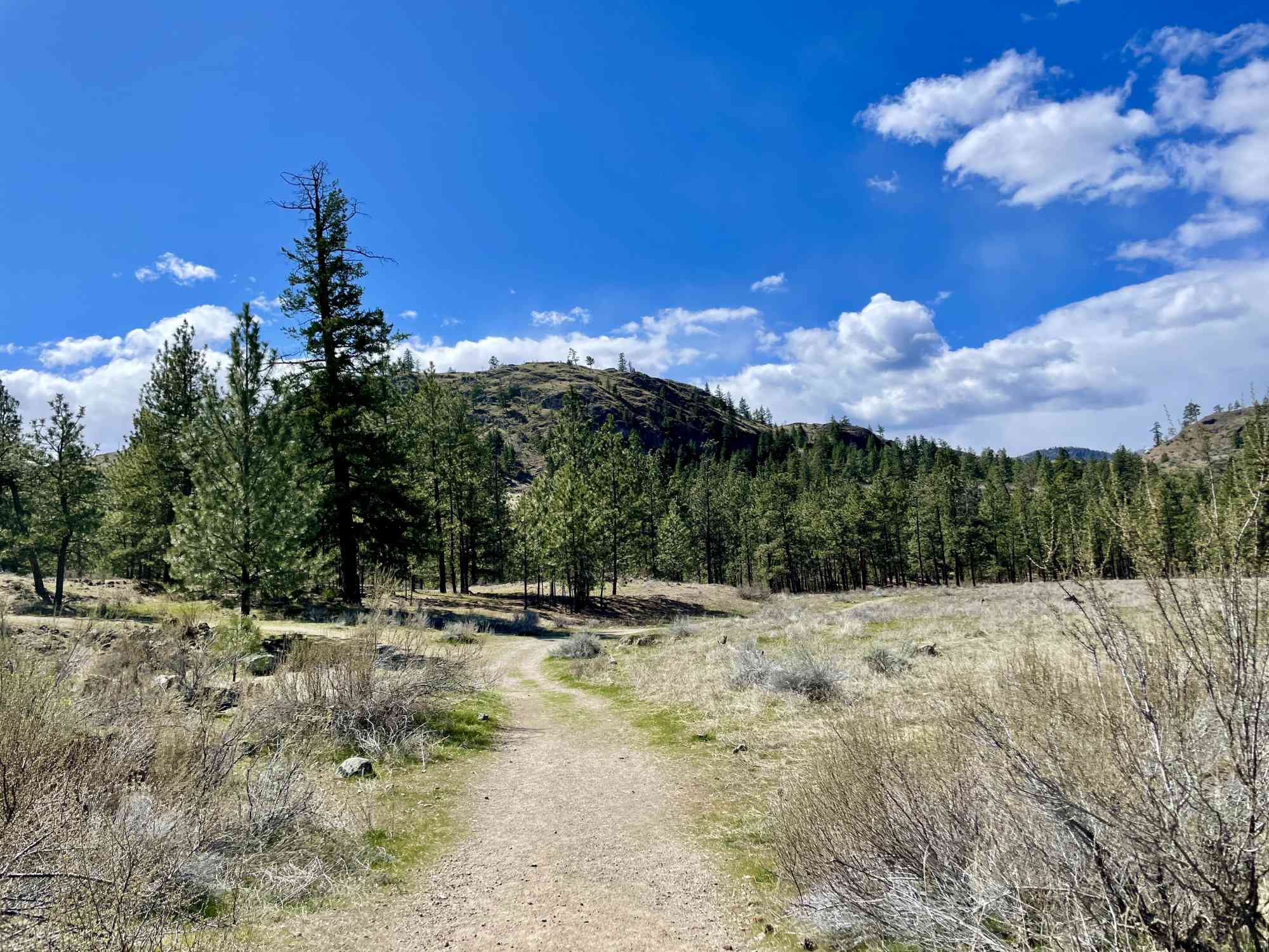
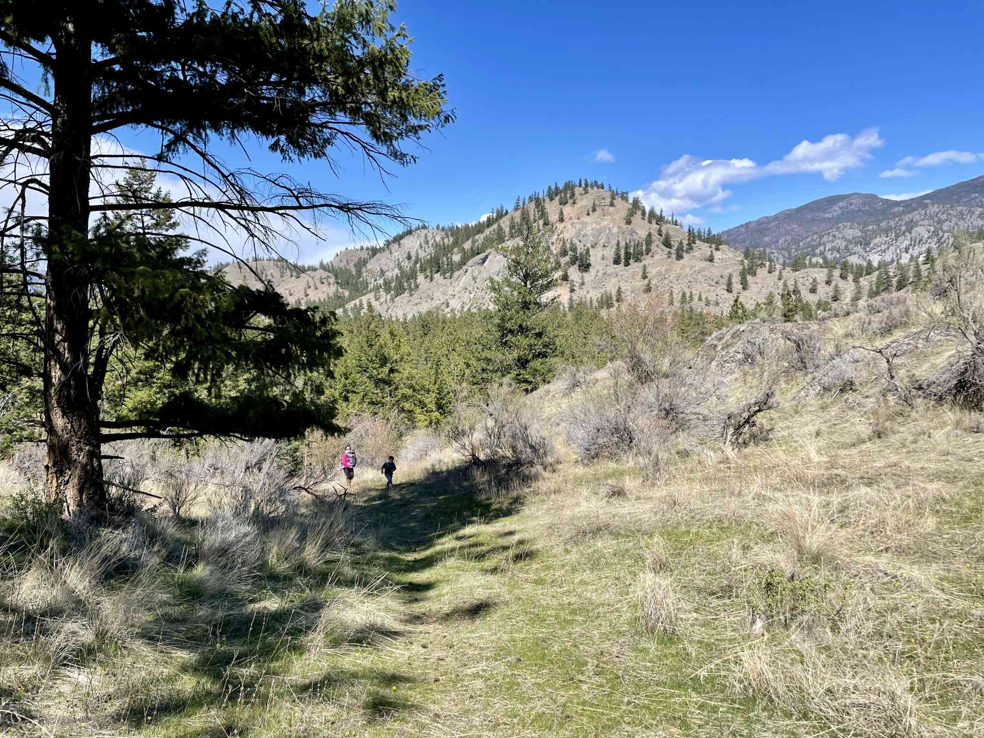
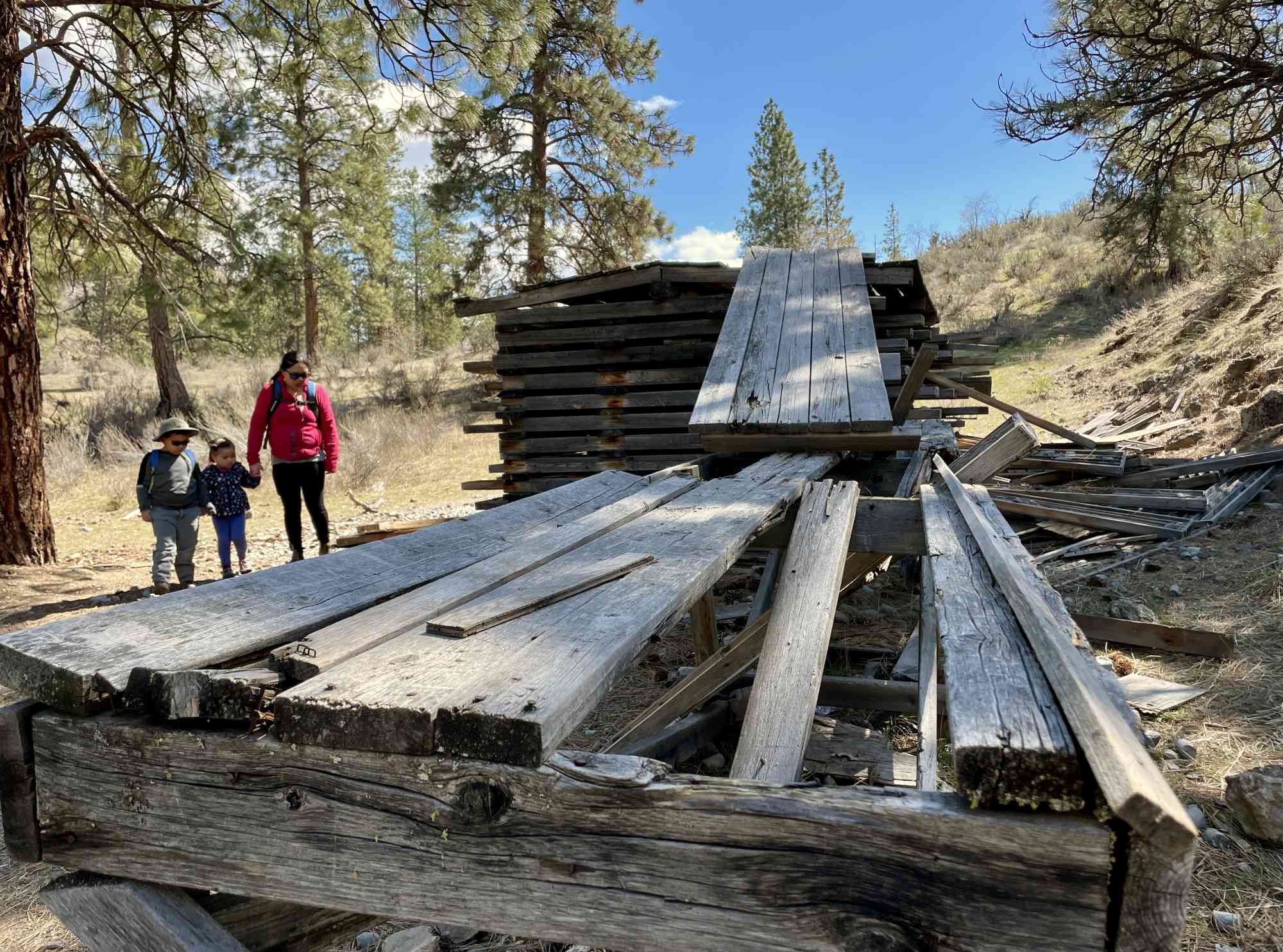
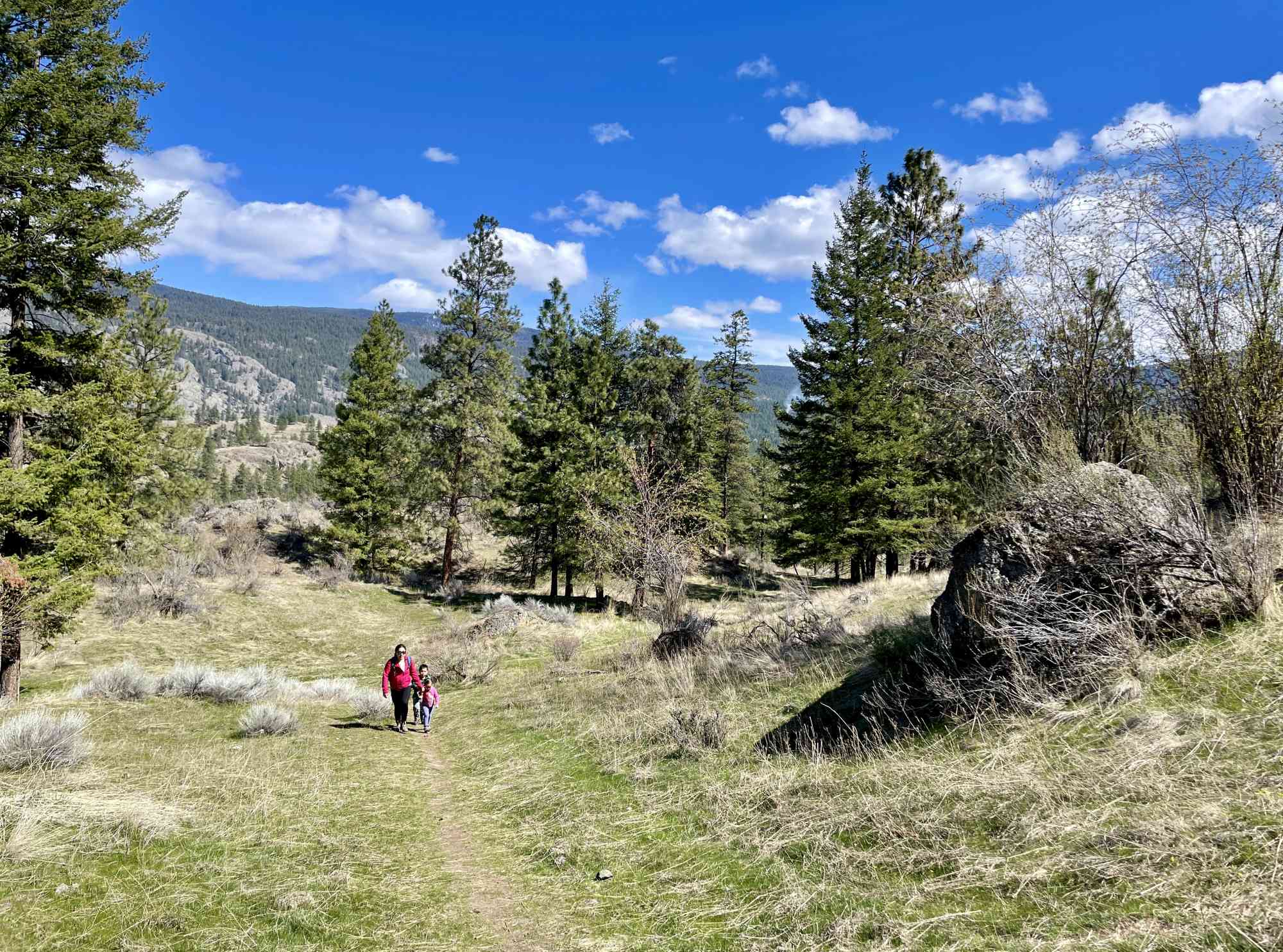
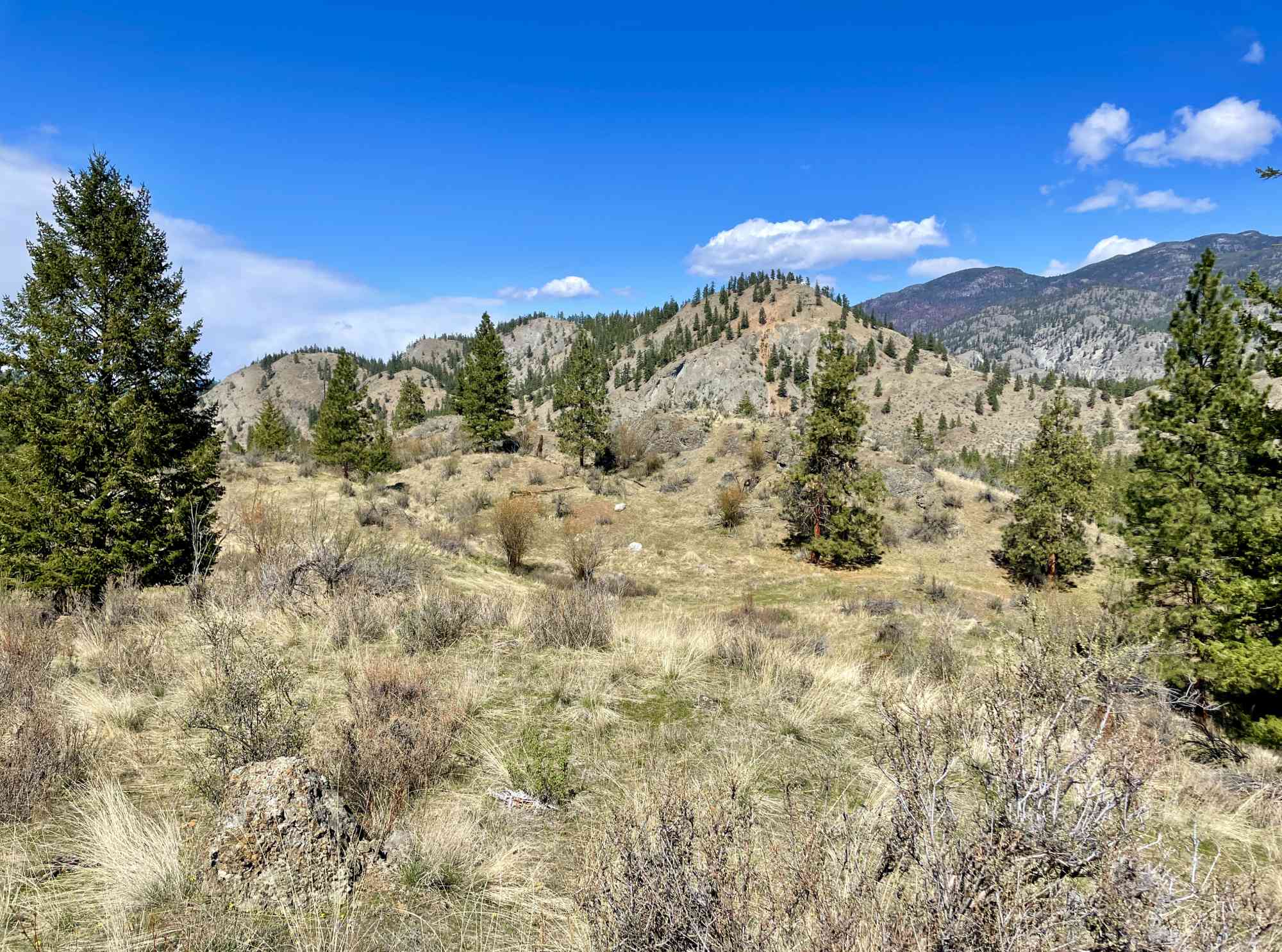
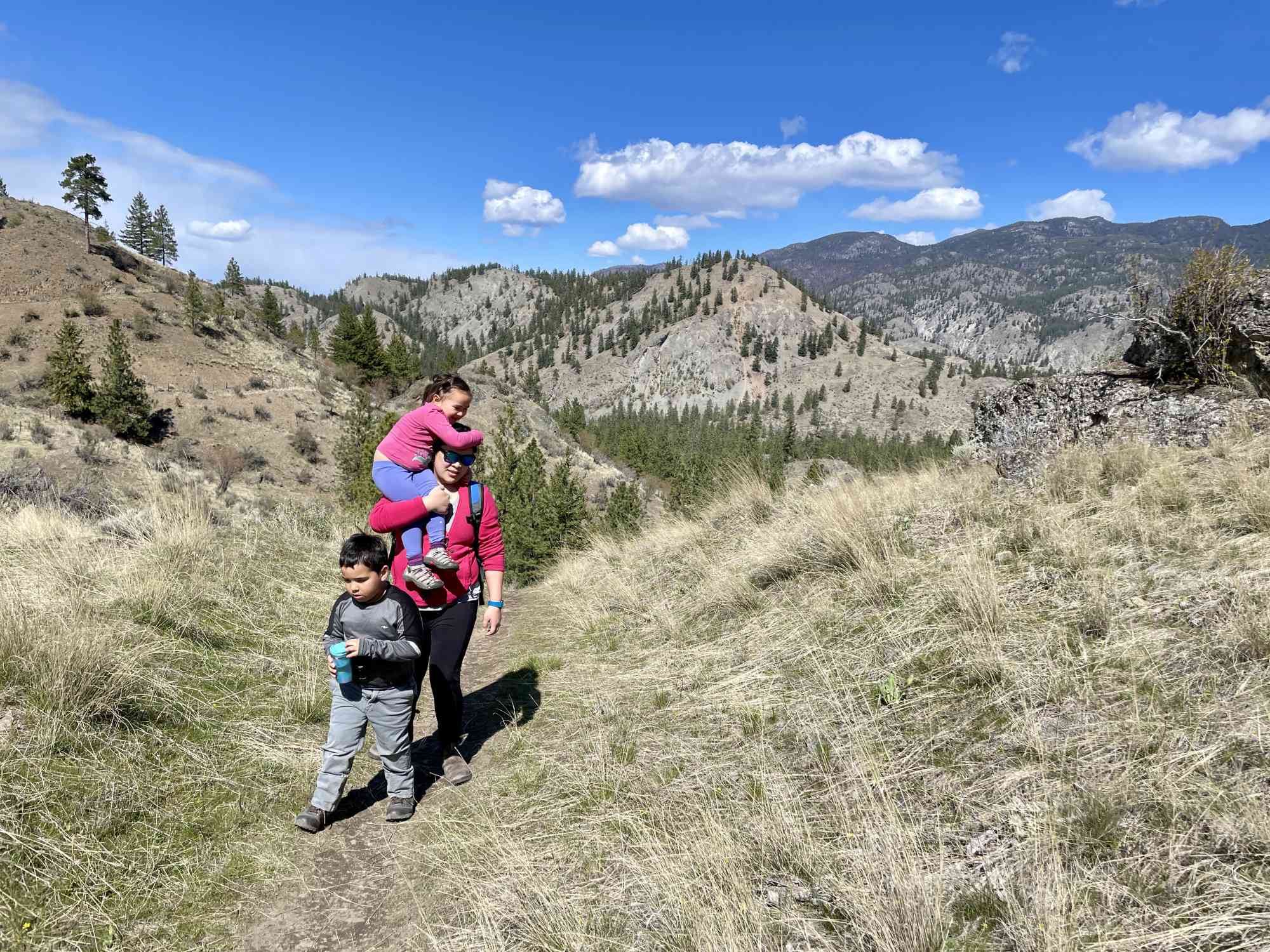
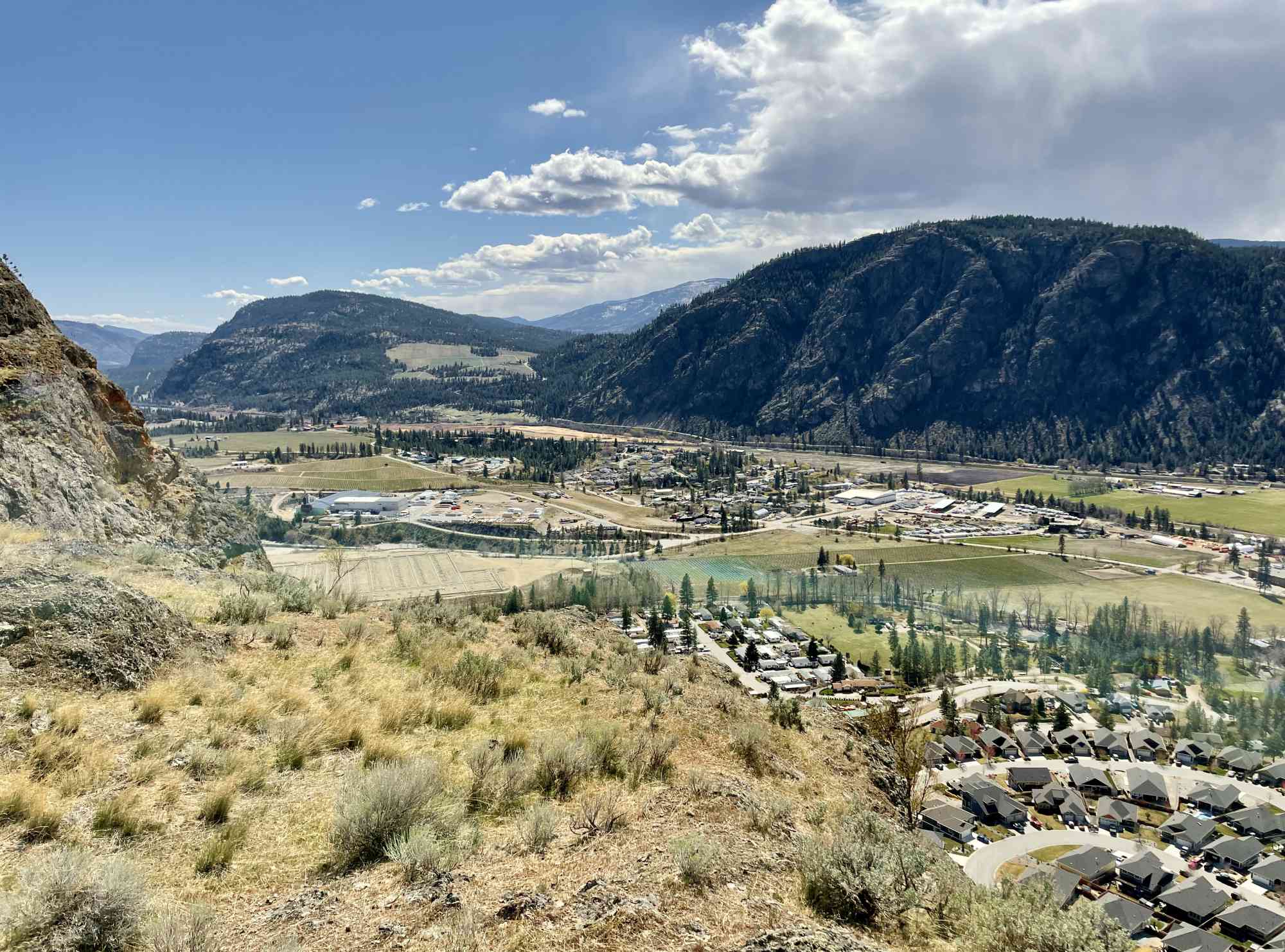
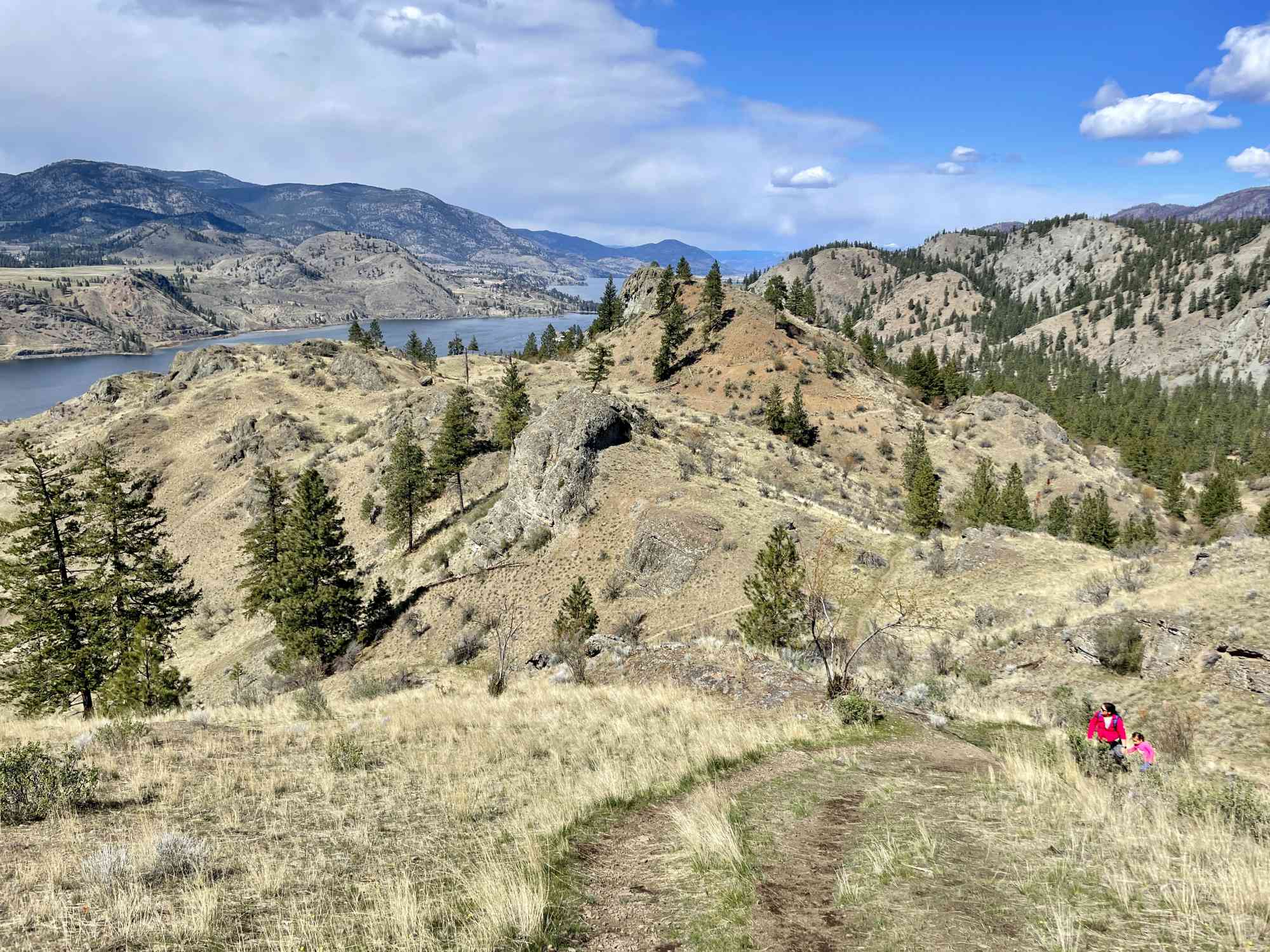
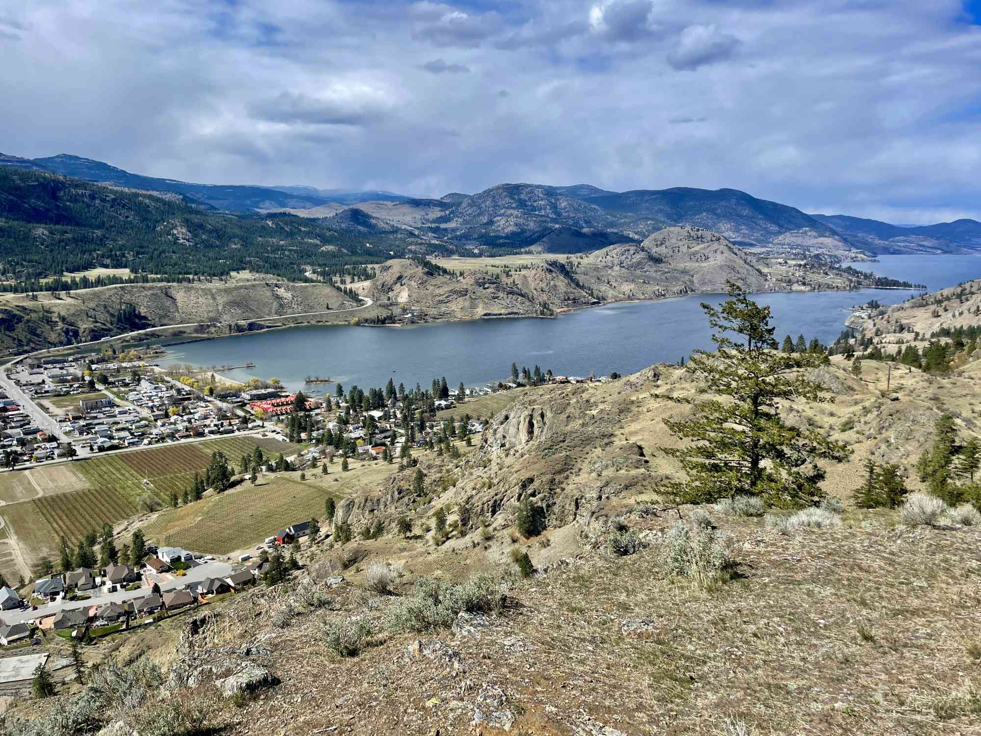
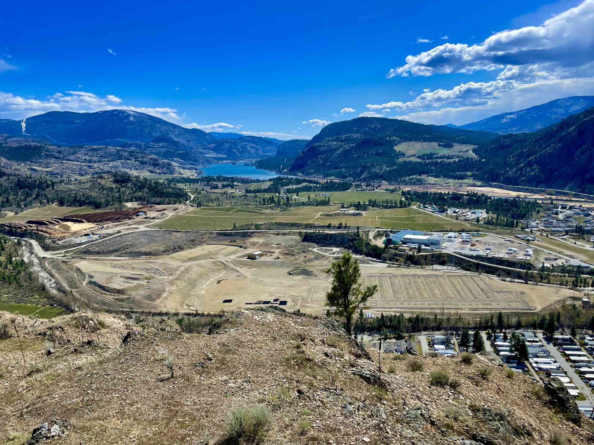
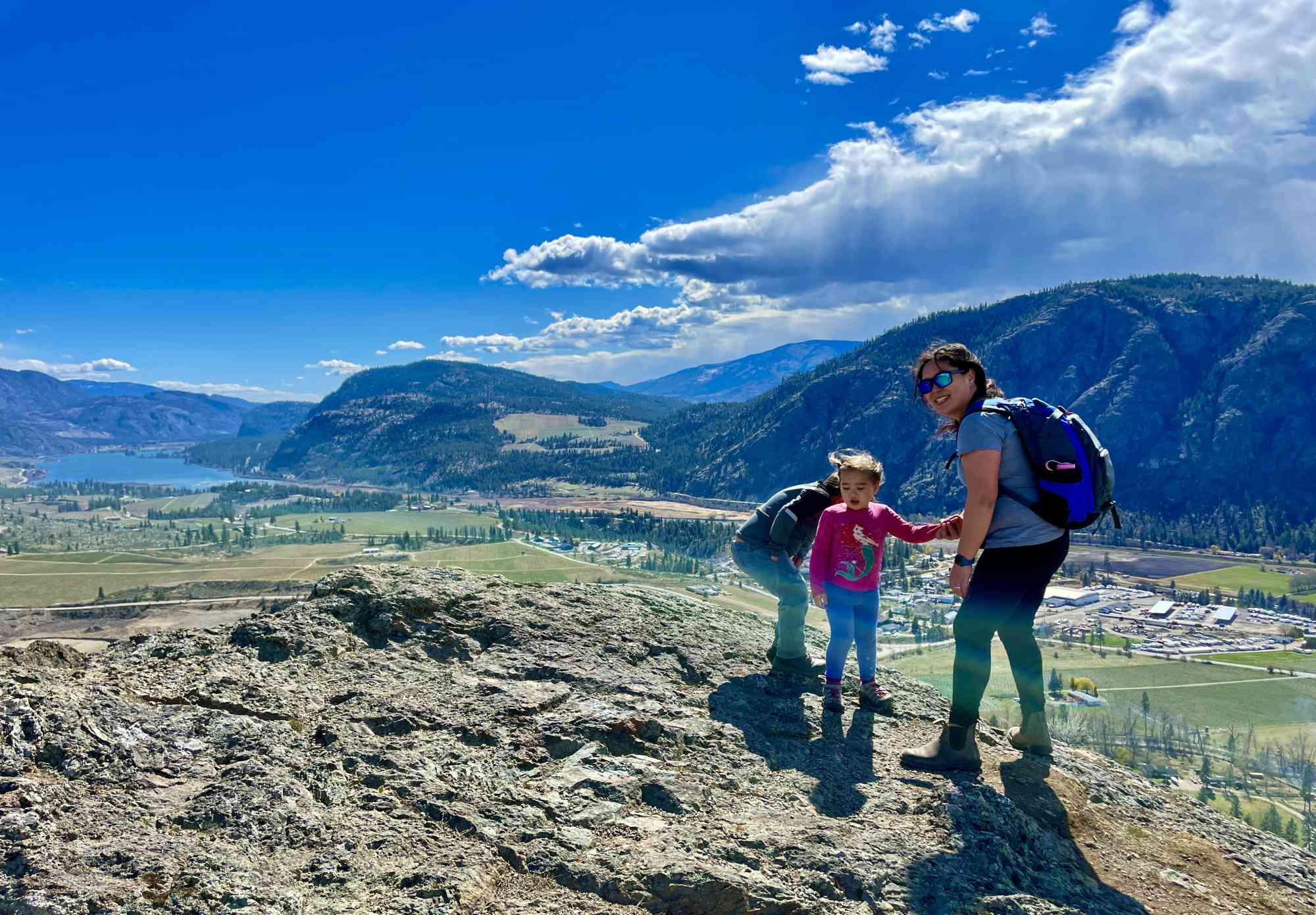
49.345436, -119.540764A relatively short walk through what seems to be a rats nest of trails to an insanely gorgeous view location that reaches from Vaseux Lake to Penticton. Challenging fork to find a few minutes after starting the trail. The trail that continues on that looks like the main trail, is not the main trail. Take our GPS!
Route
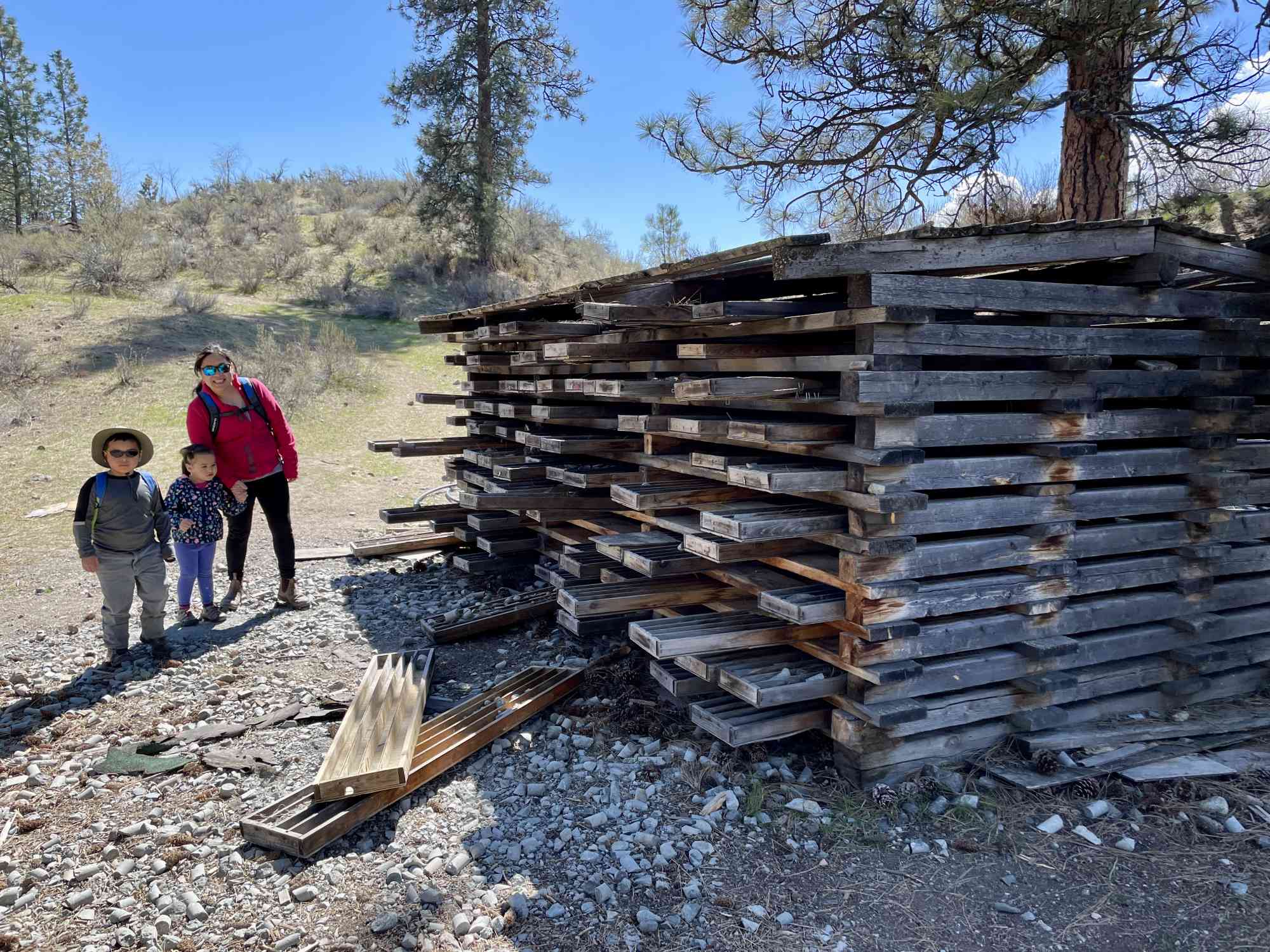
Kids & Pets
Address
Driving Time
From Downtown Pentiction, approximate travel time by car is 22 min.
Notable GPS Co-ordinates
Detailed Directions
1) Take the main highway heading south to Oliver/OK Falls.
2) Turn LEFT on 10th Ave in OK Falls.
3) Road becomes McClean Creek Rd
4) Park at gate where other cars are likely parked (See our GPS)
Google Directions
Use our written directions in preference to the Google directions below as they are likely more accurate.

Linear Trail
We have a downloadable GPS map for this trail!
Last Updated on Thursday, March 23, 2023
Need help using it? See our FAQ.Map Waypoints
GPS Notes
Leave a comment
You must Login to post a comment!