
Okanagan Mountain Park: Good's Basin
Okanagan Mountain Park: Good's Basin
Kettle Valley
30 min from Downtown Kelowna
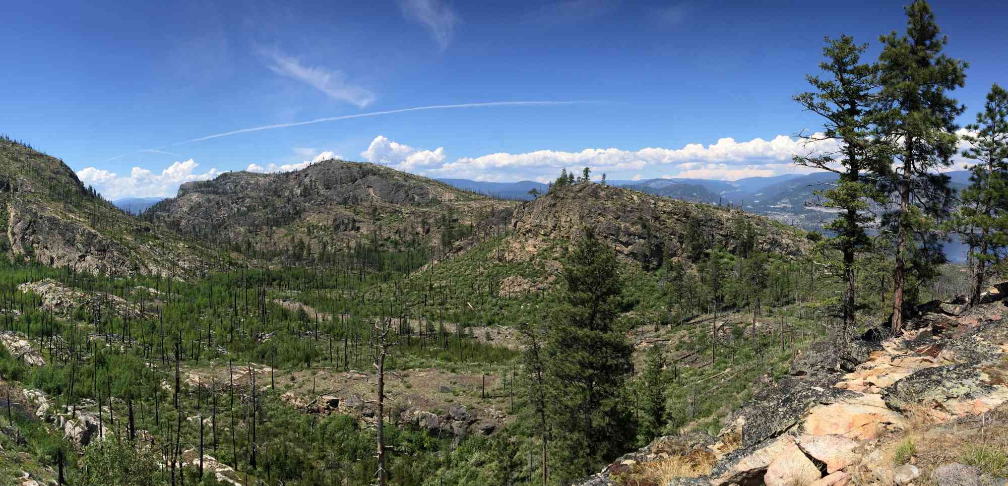
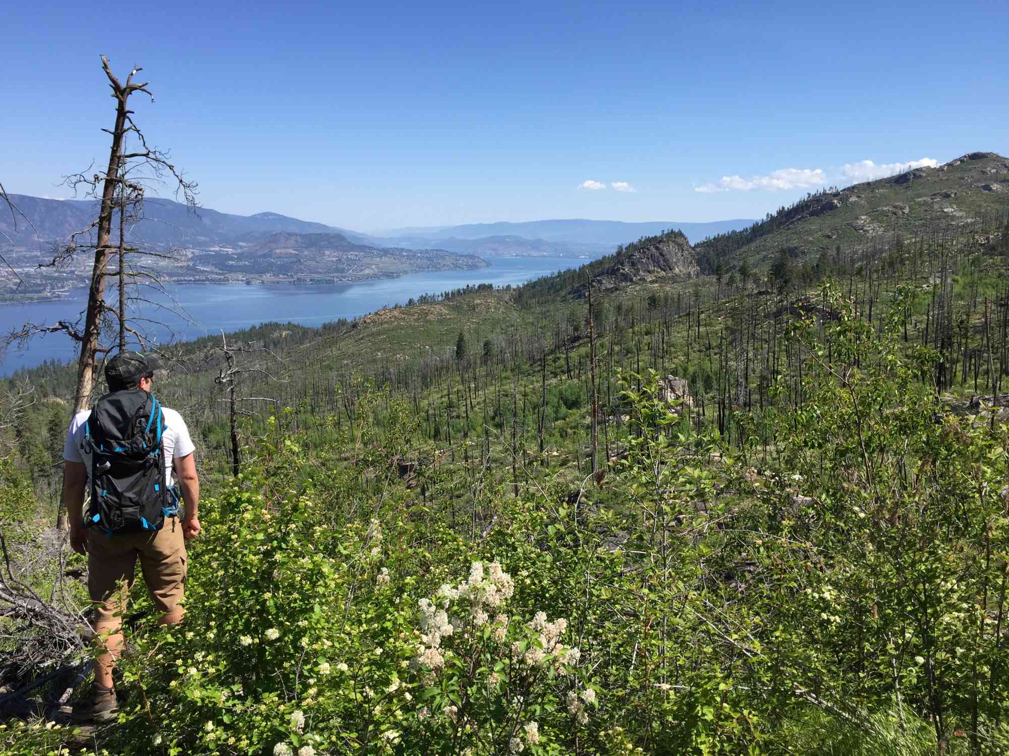
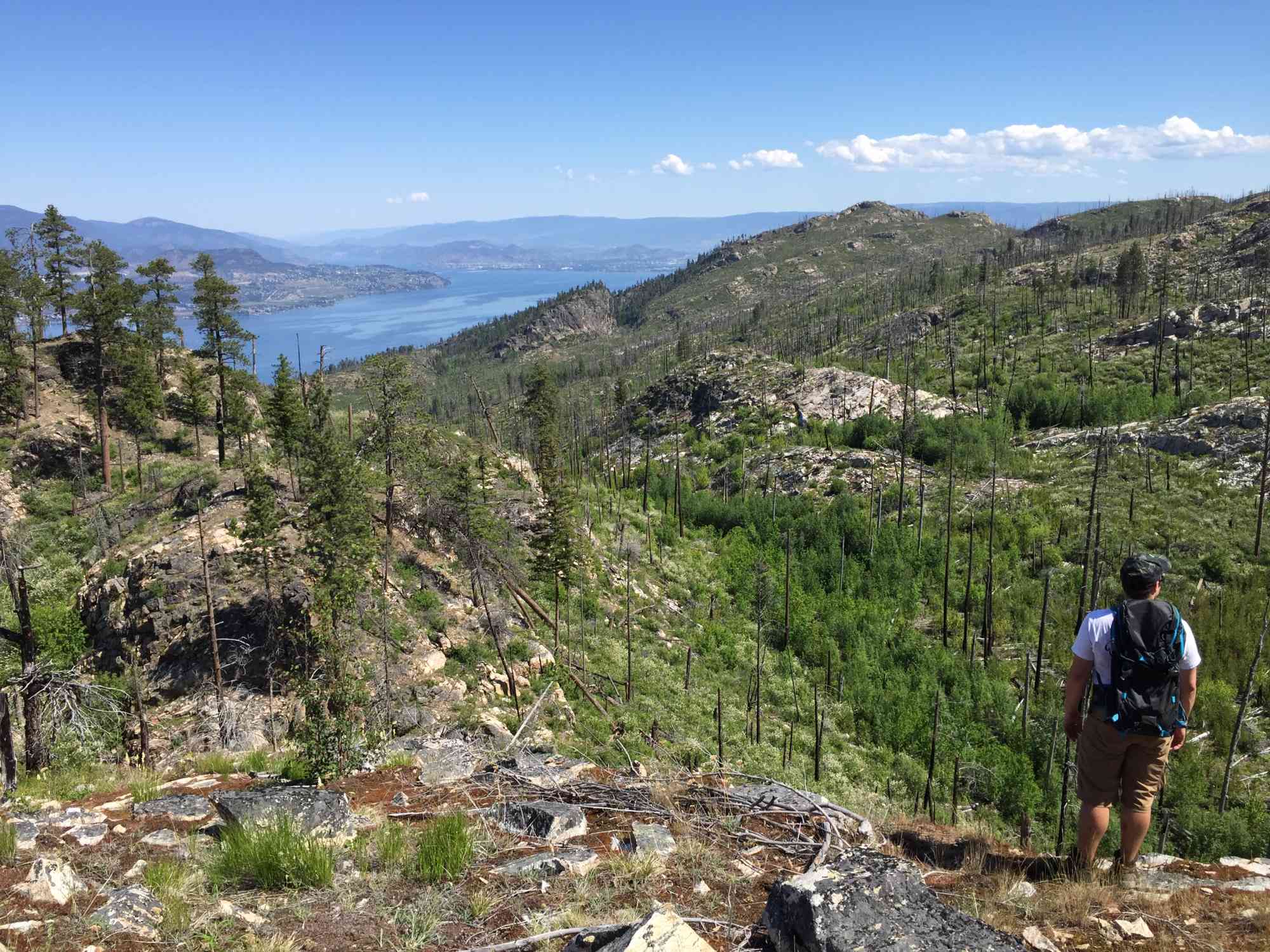
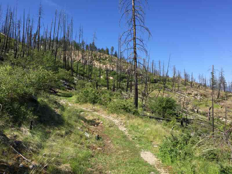
5937-5941 Lakeshore Rd, Kelowna, BC V0H, CanadaAn obstacle course of trees lies along this trail through the remnants of the Okanagan Mountain Park wildfire in 2003.
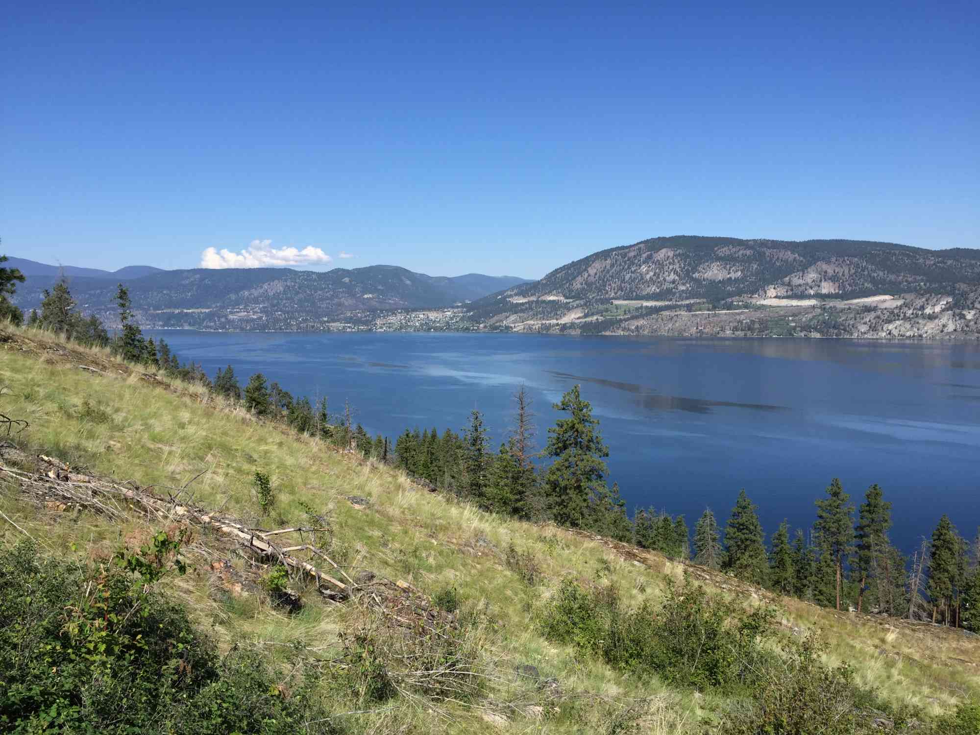
Be prepared to cross streams, traverse though grasslands and enjoy stunning sights of the Okanagan valley.
Due to the open space created by fallen trees, this area is subjected to high temperatures in the summer, bring plenty of water. In the Spring, small streams run across the trail, hiking shoes with good grip are recommended.
Be sure to do a tick check when you leave, the density of fallen trees is a habitat for the arachnids


Route
Kids & Pets
Features
Address
Driving Time
From Downtown Kelowna, approximate travel time by car is 30 min.
Notable GPS Co-ordinates
Detailed Directions
Google Directions
Use our written directions in preference to the Google directions below as they are likely more accurate.
Linear Trail
We have a downloadable GPS map for this trail!
Last Updated on Thursday, March 23, 2023
Need help using it? See our FAQ.Map Waypoints
GPS Notes
Leave a comment
You must Login to post a comment!