
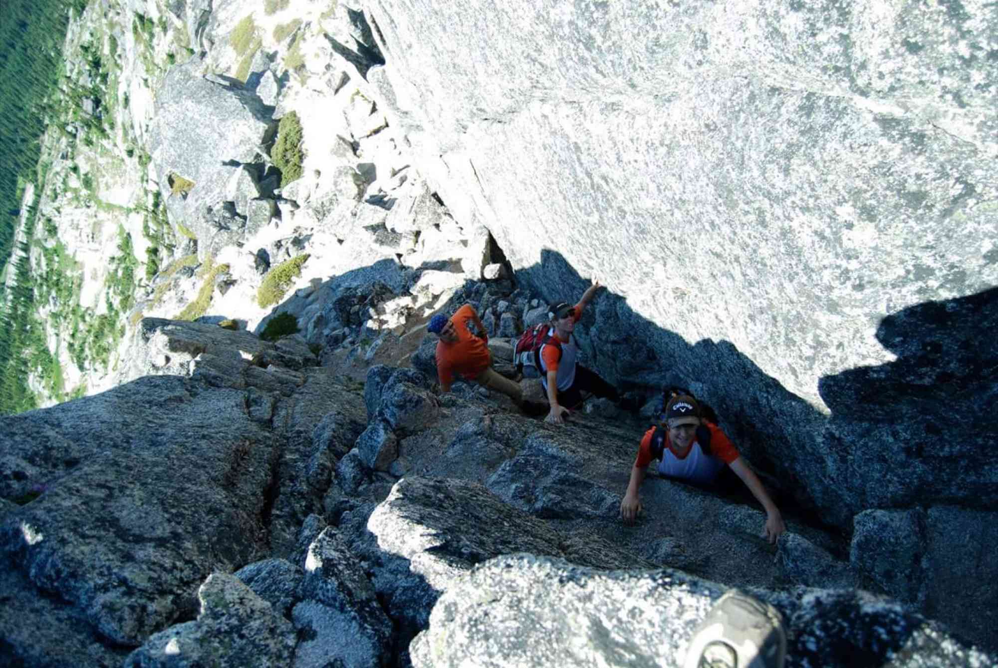
Needle
Needle
Coquihalla
2 hr from Downtown Kelowna
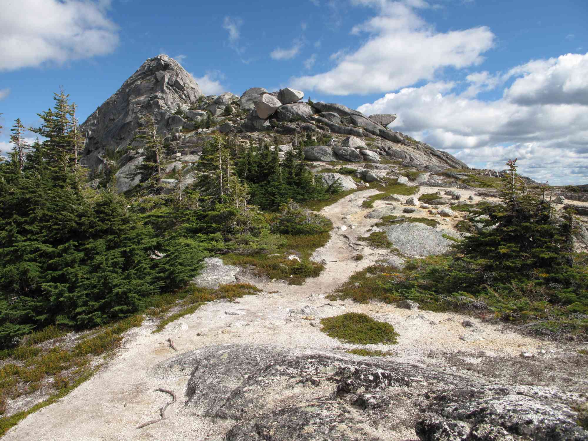
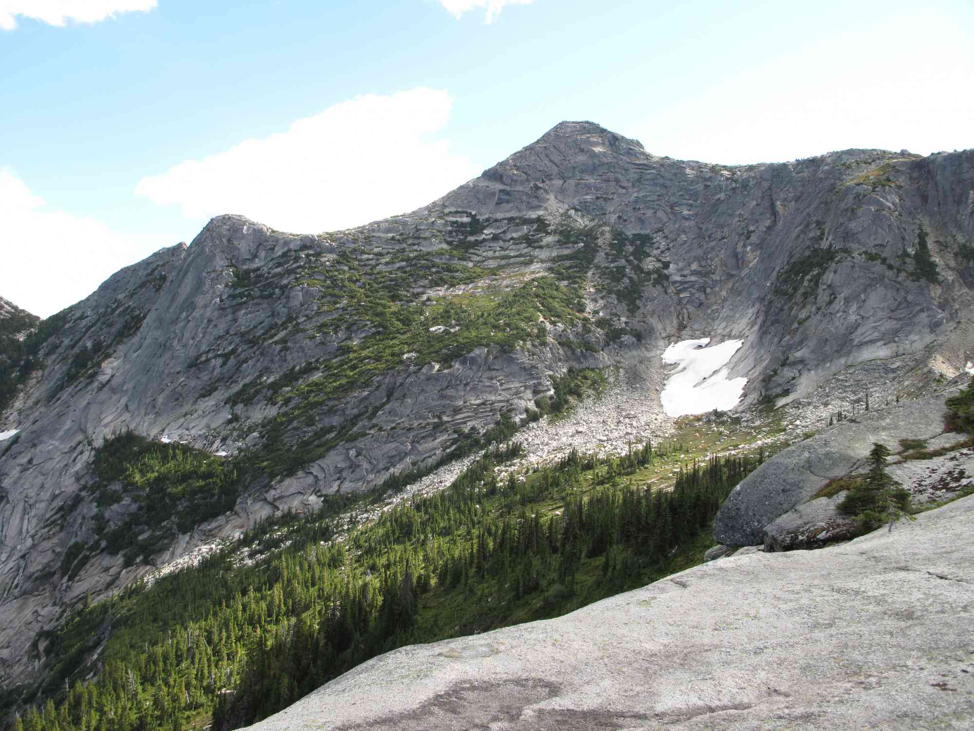
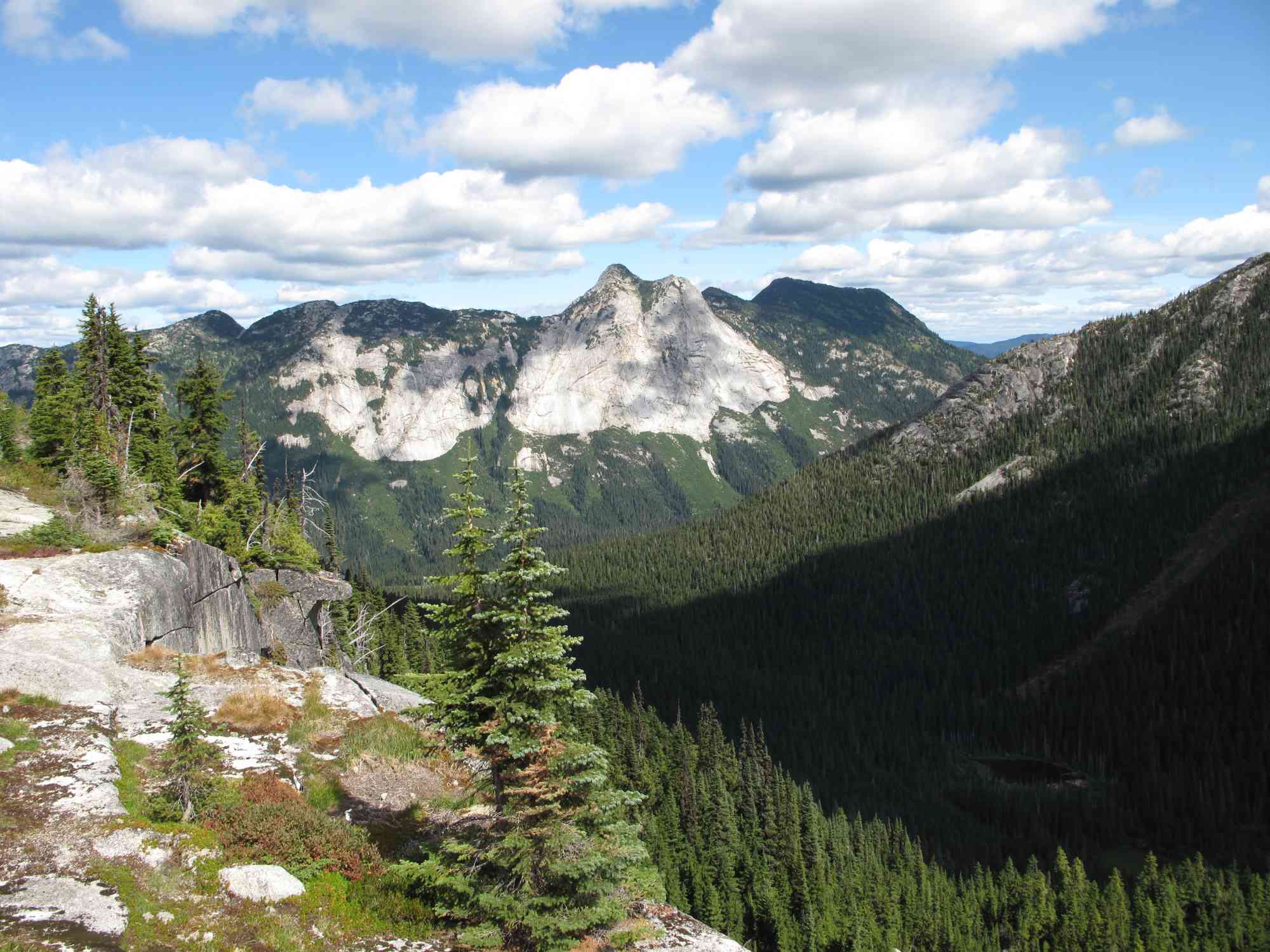
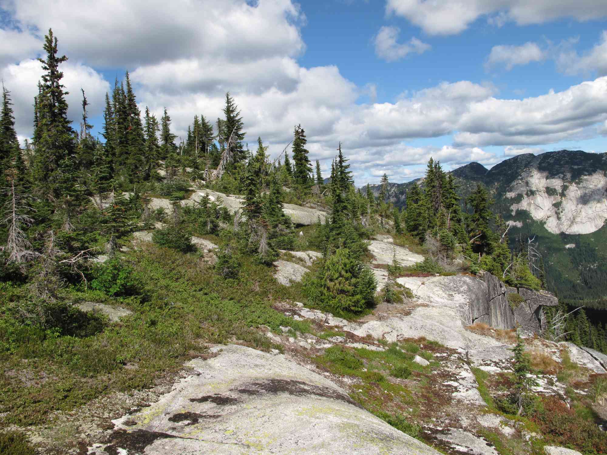
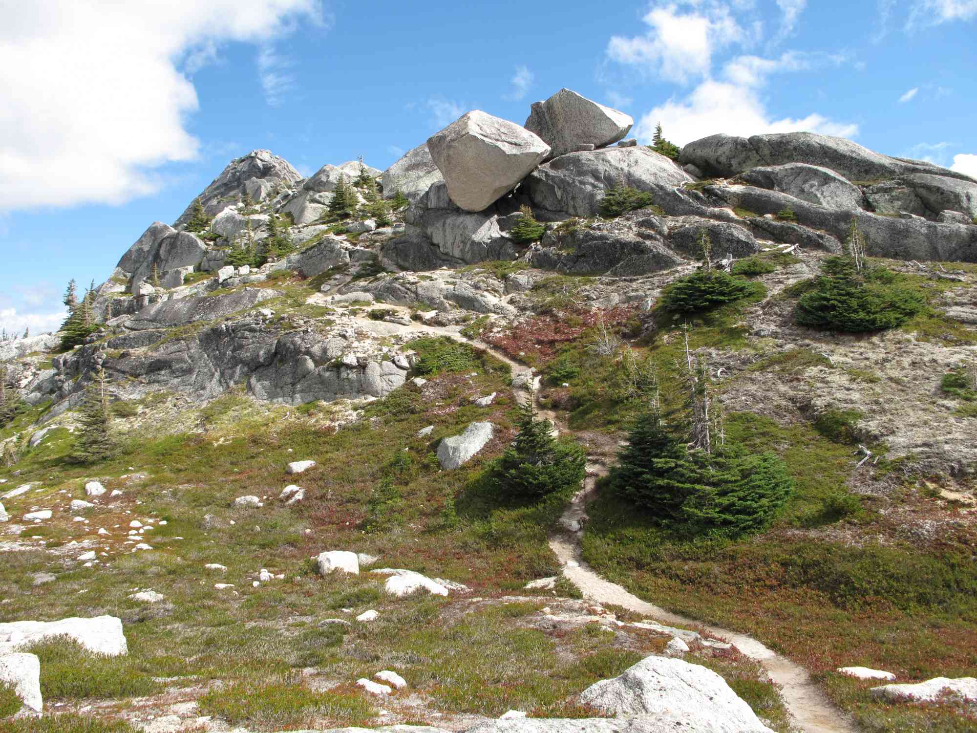
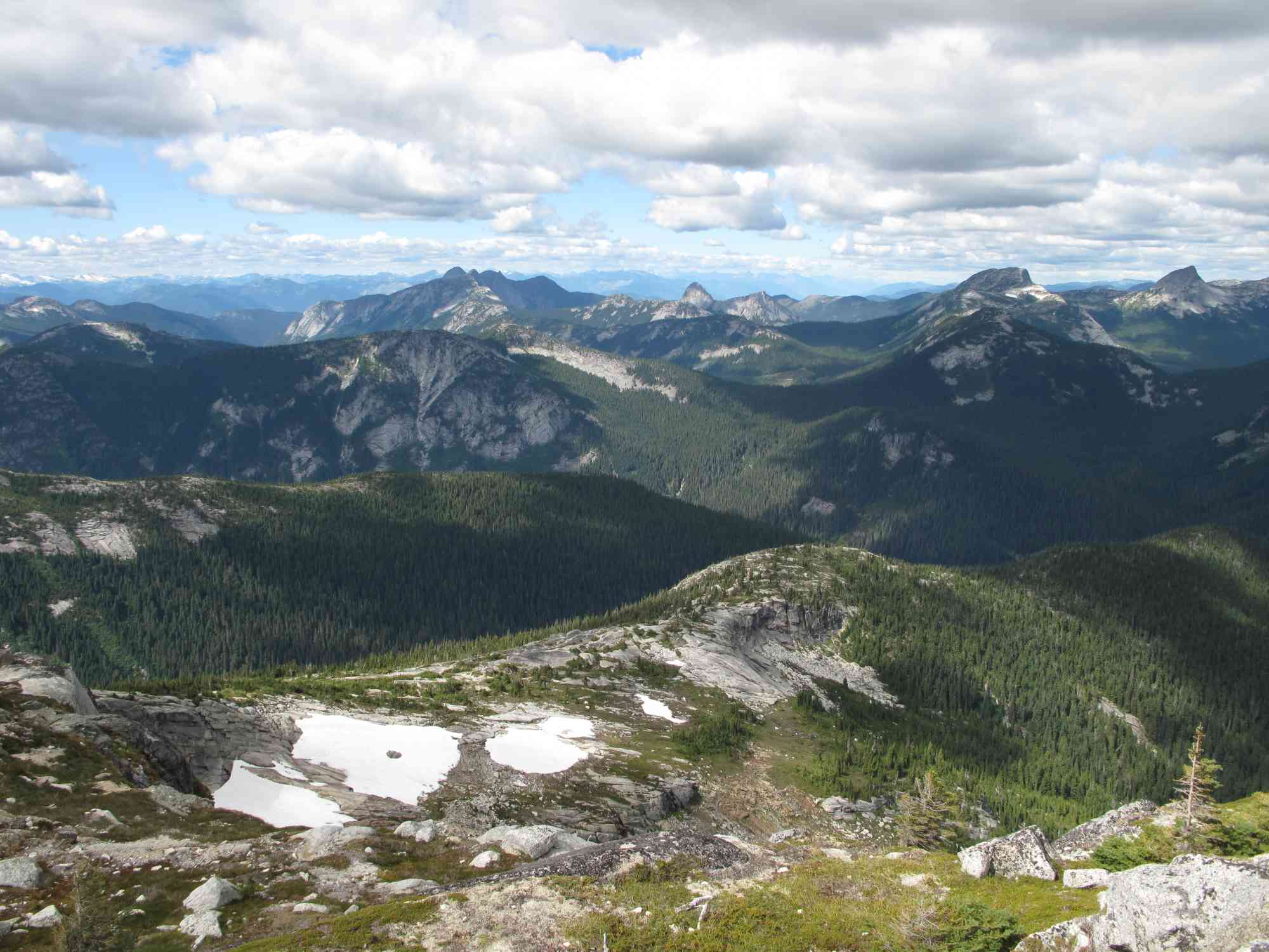
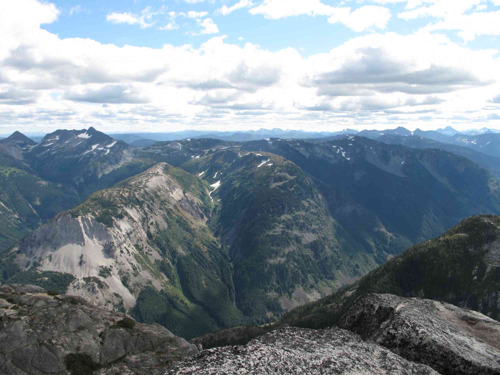
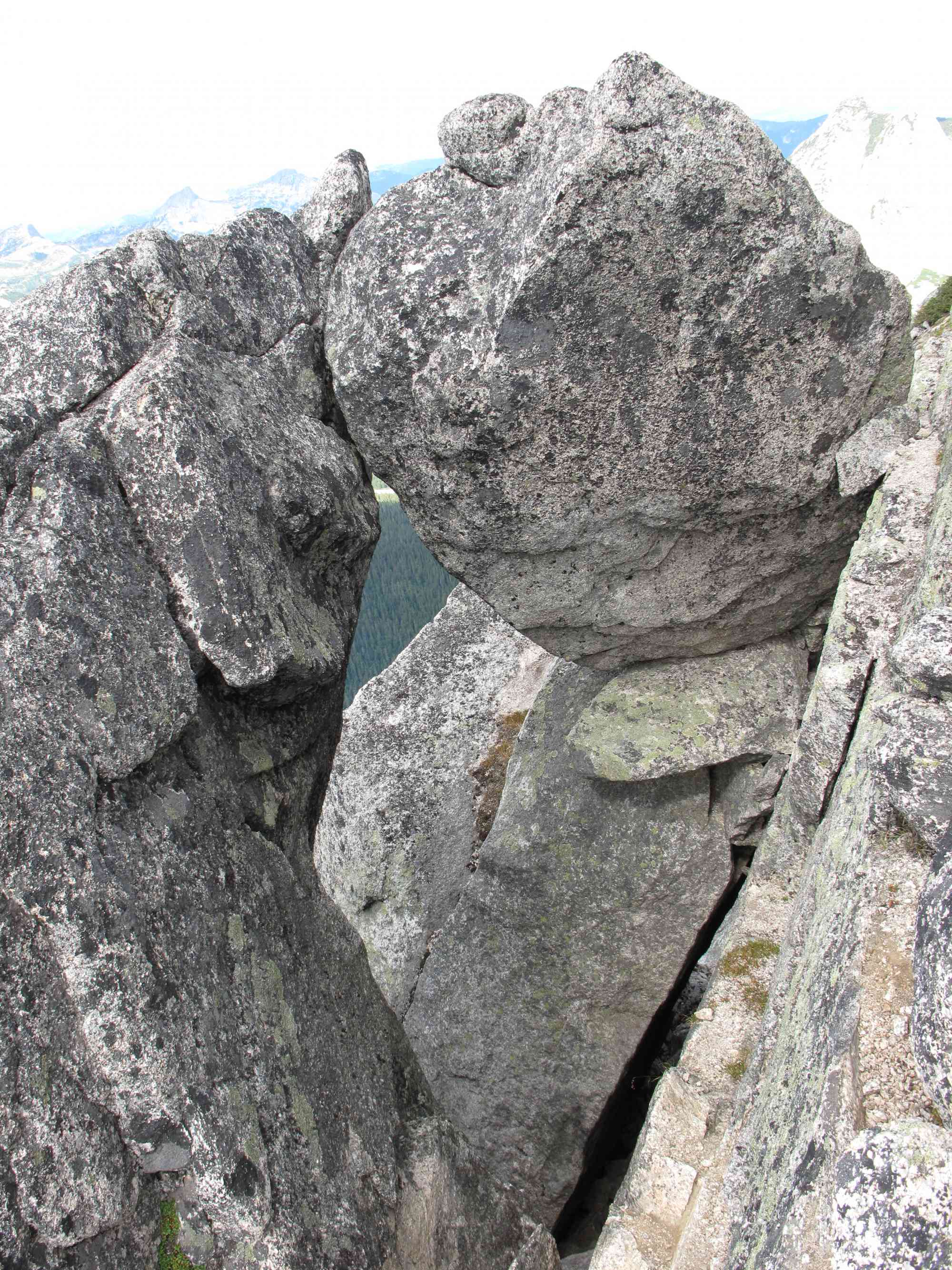
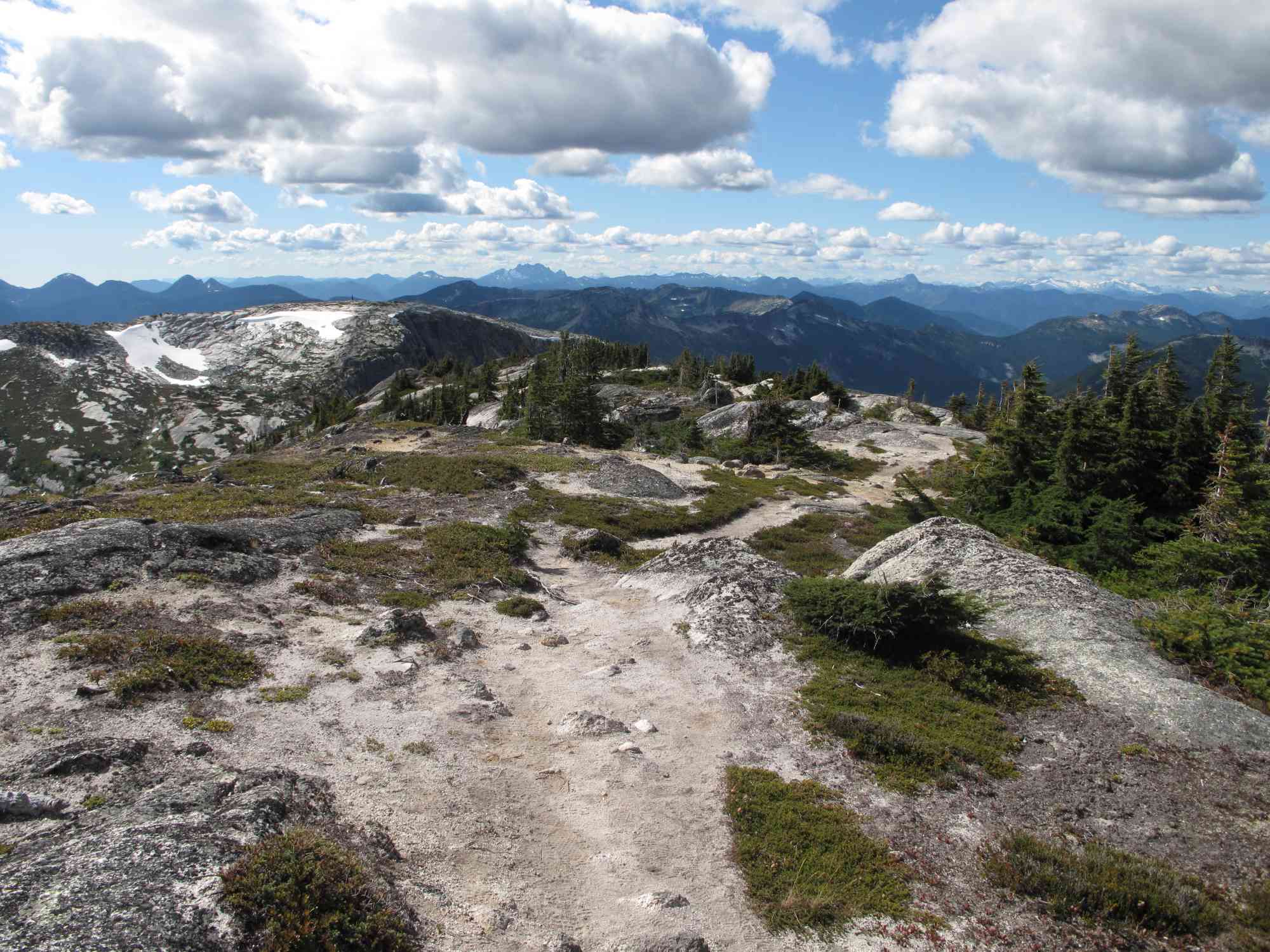
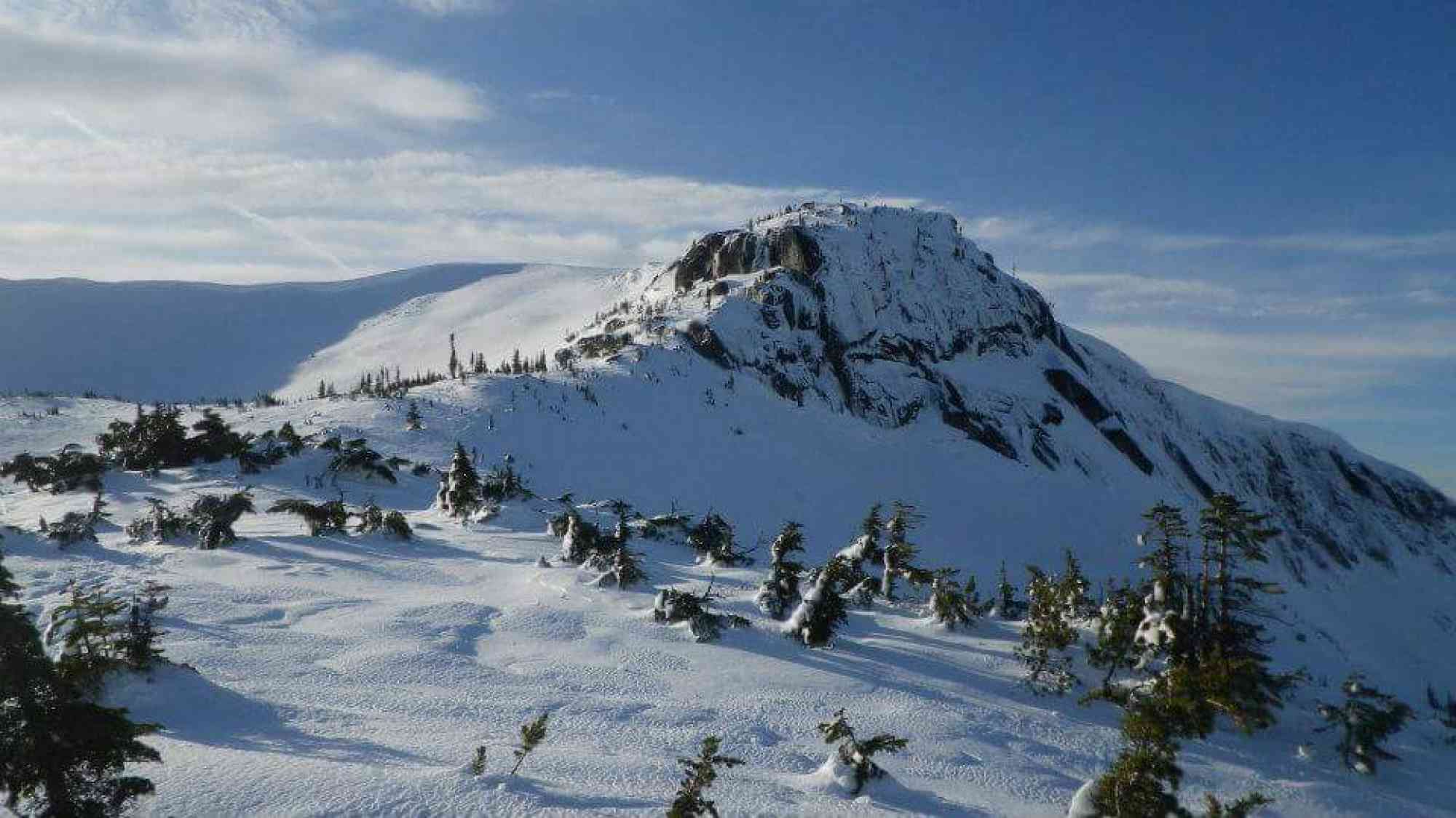
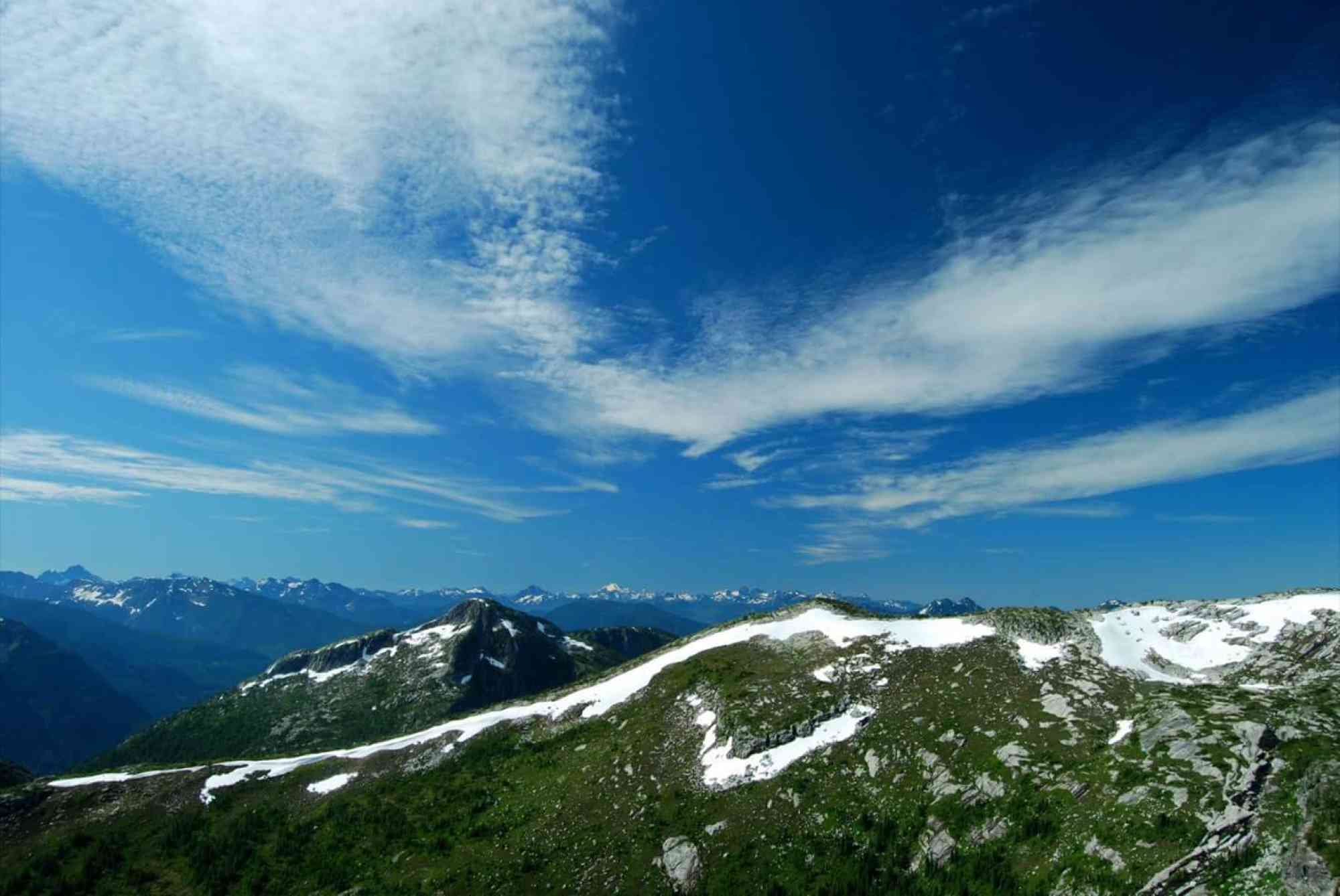
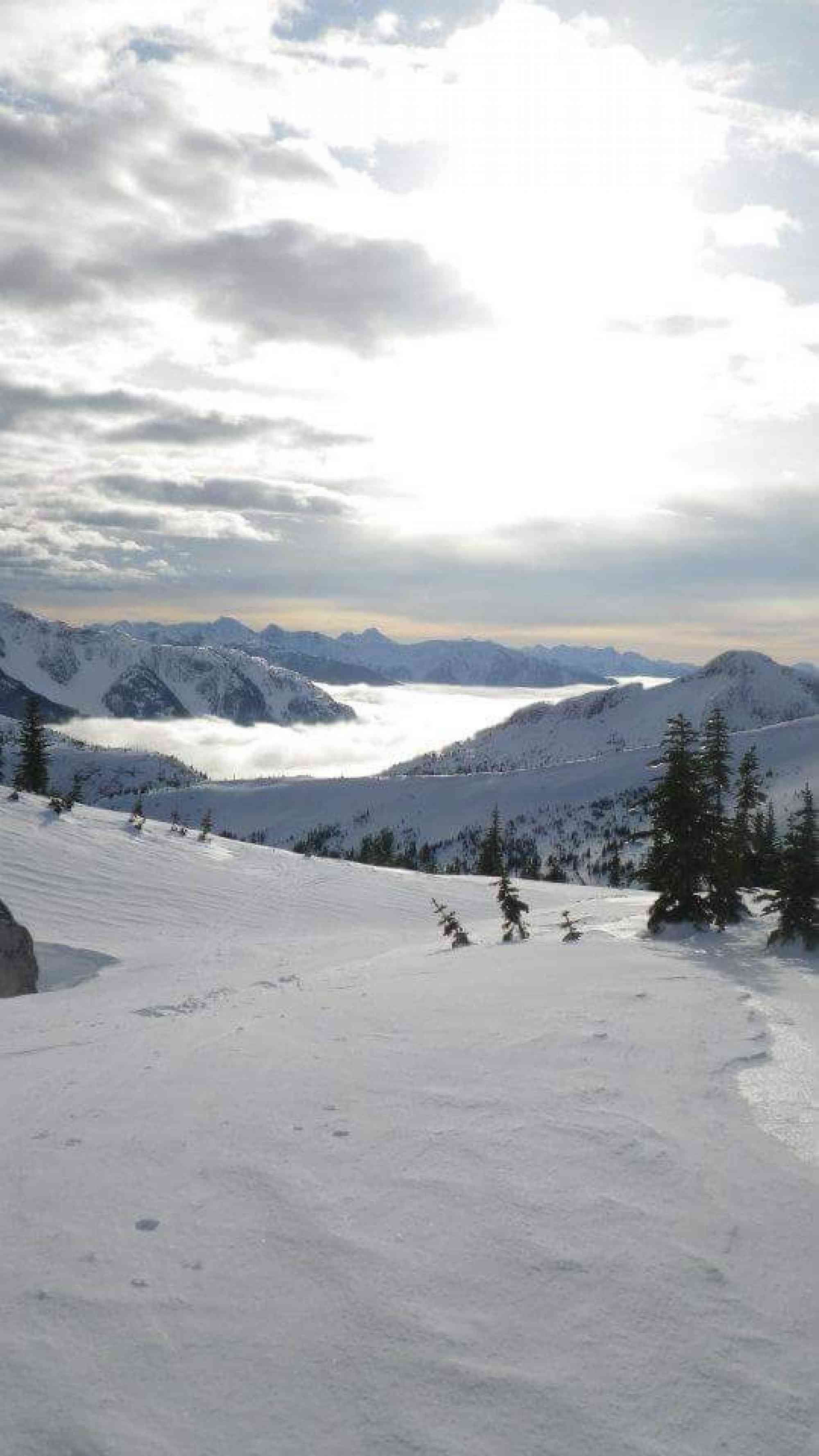
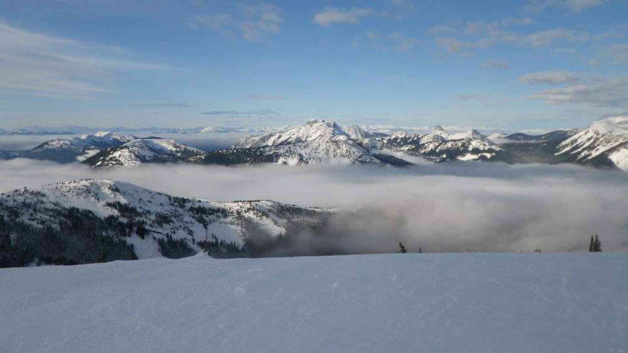
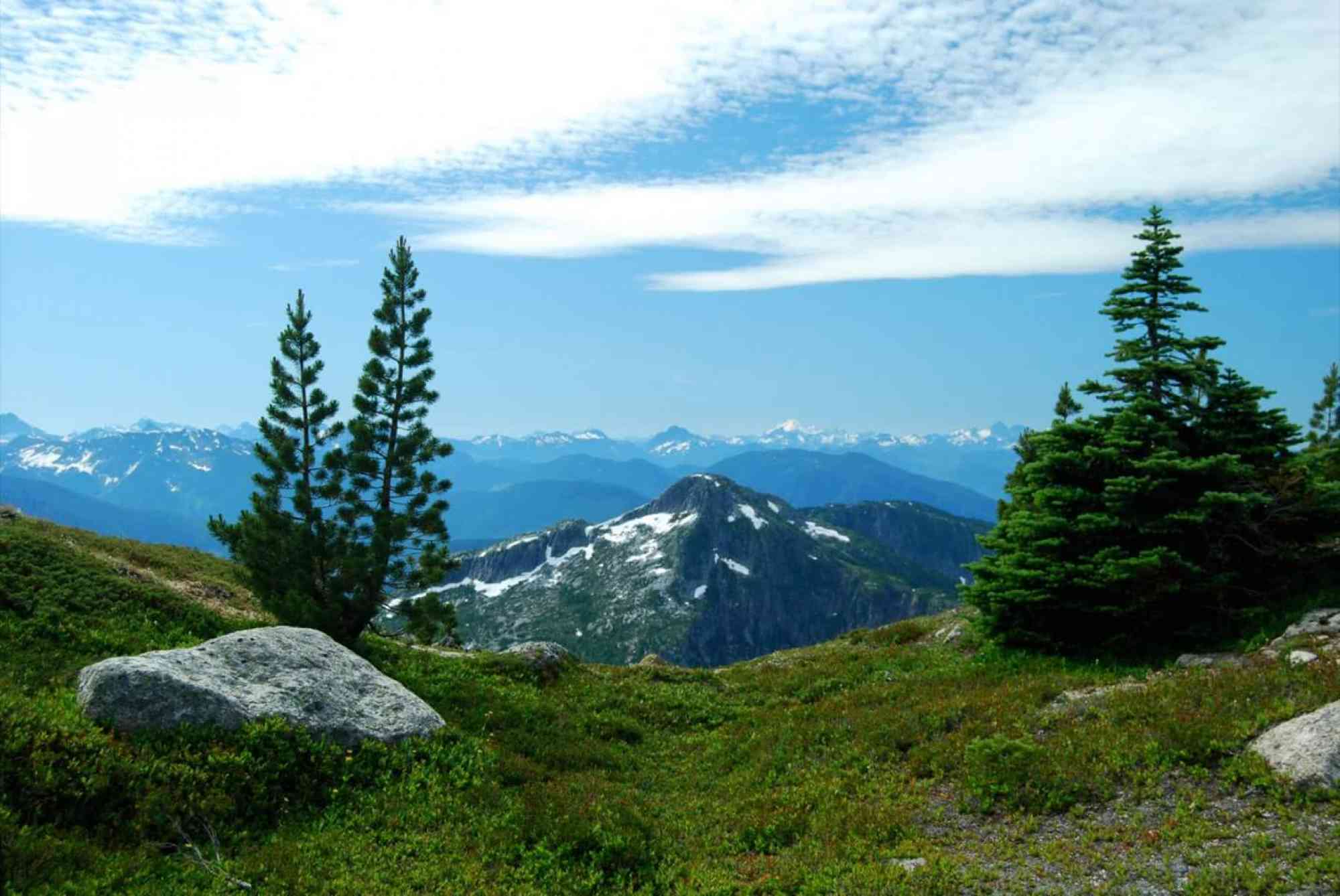
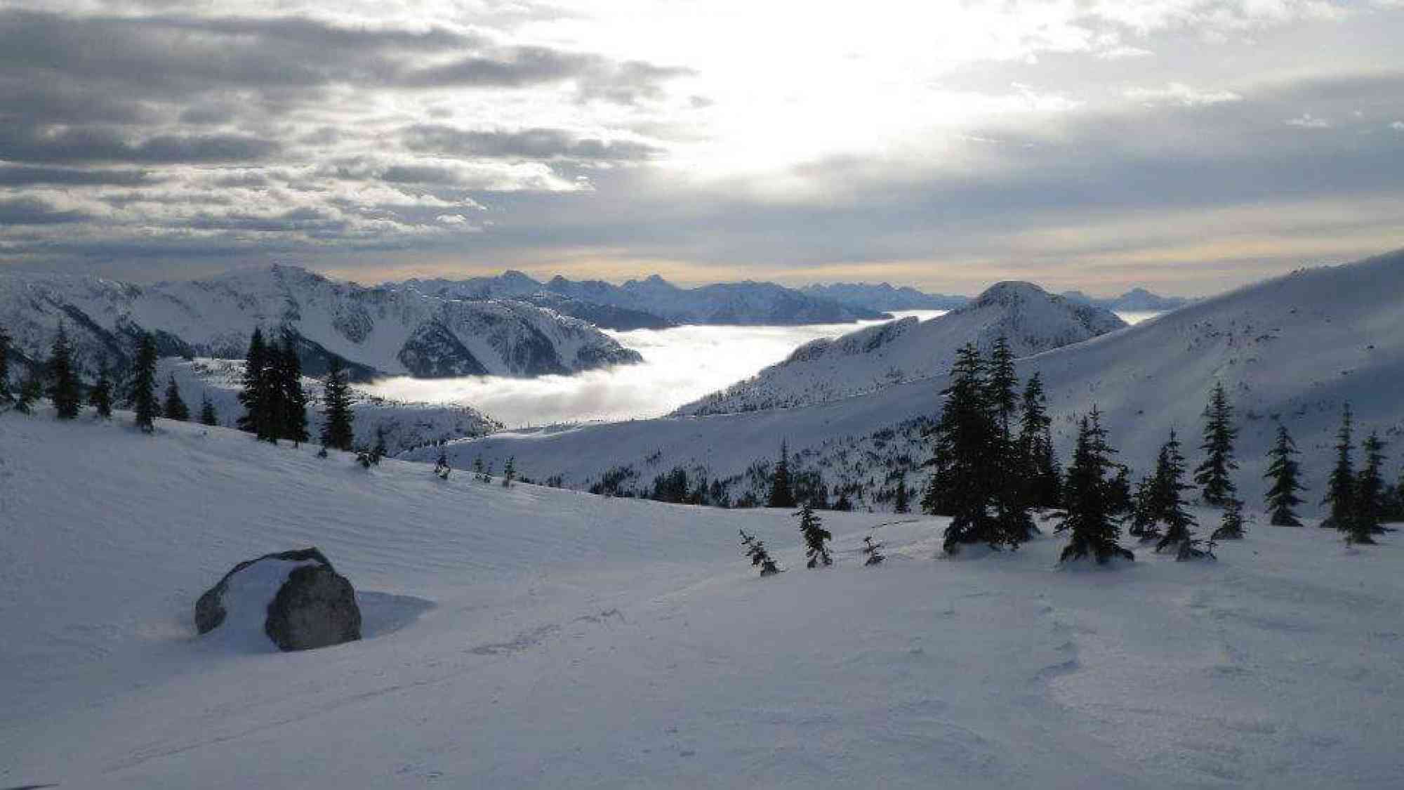
49.594515, -121.124193An incredible view of the Cascades to the Coastal Mountains along a sub-alpine ridgeway. On clear days, views of Mount Baker are even visible. After about an hour of intense uphill, you will reach a much easier (but still ascending) array of meadows, which will turn into a boulder fields and two scrambles. The initial section of the trail features natural blueberries in the summer.
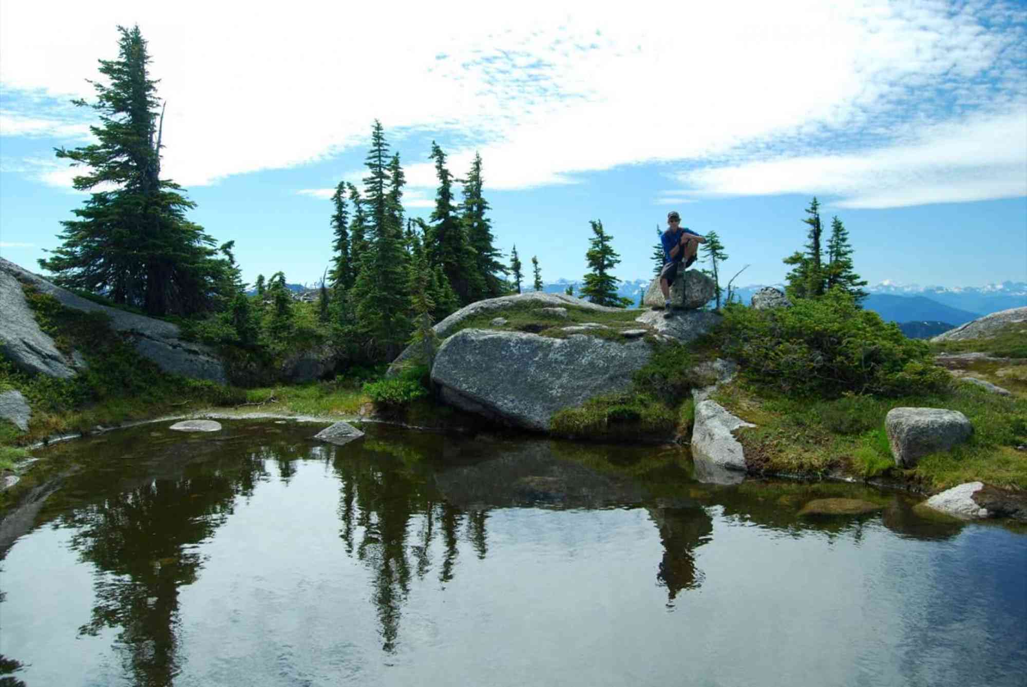
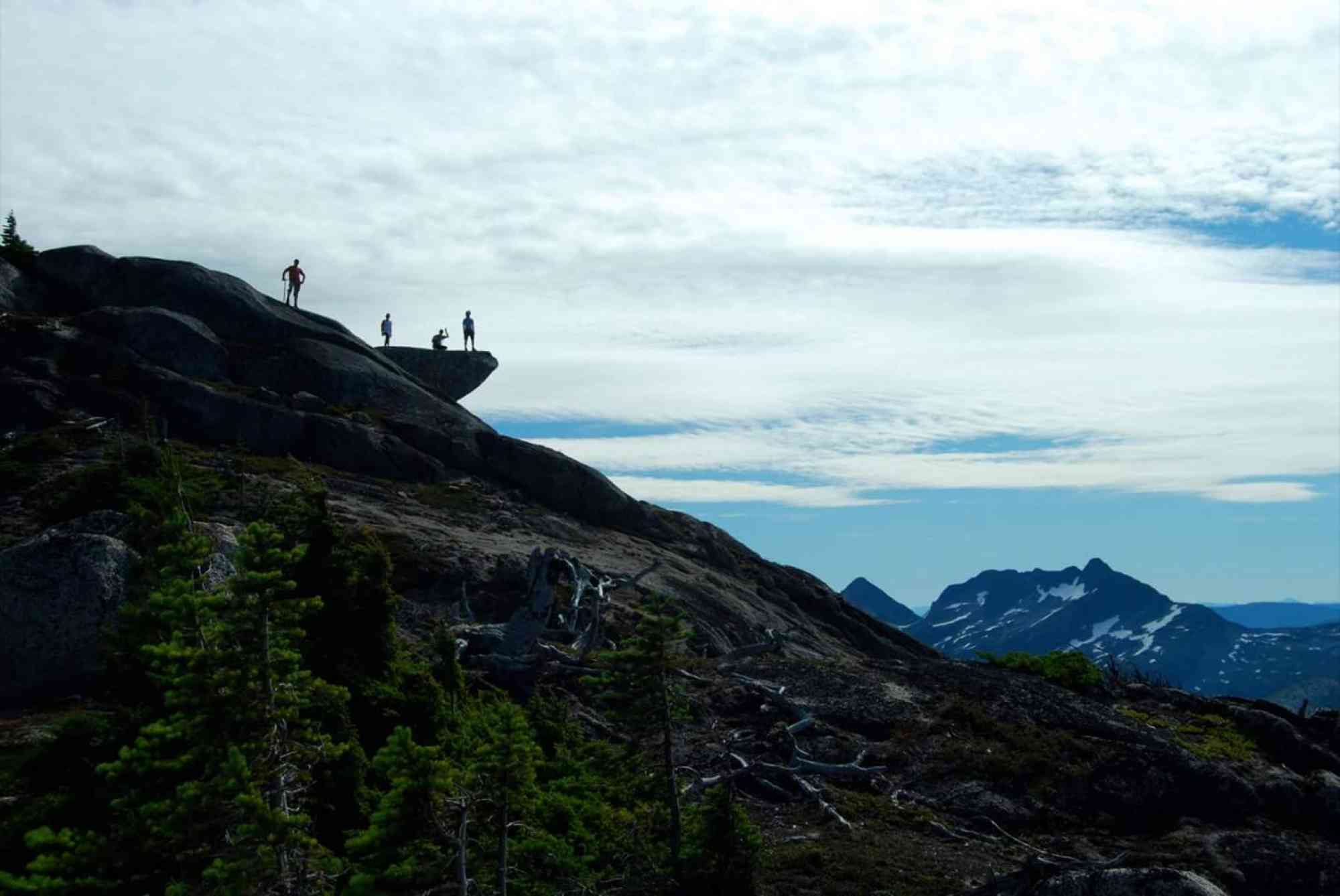
After hitting a major trail fork where your current trail intersects the ridgeline of Needle's ridge perpendicularly, you are able to turn LEFT instead of right to follow a secondary trail to "Small Lake."
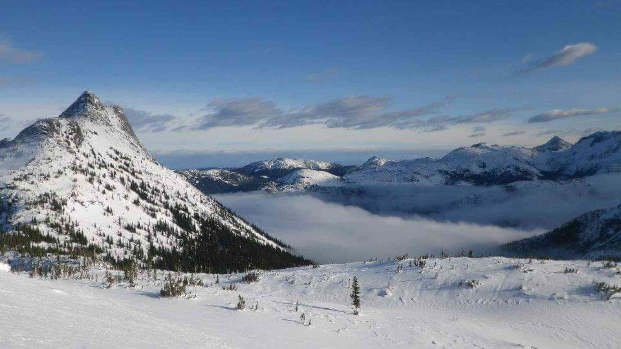
Due to large amounts of snow in the spring, summer, and fall, we recommend only doing this trail between June 1st and the end of September. Prepare for dramatically colder temperatures and high winds near the top.
After hitting a major trail fork where your current trail intersects the ridgeline of Needle's ridge perpendicularly, you are able to turn LEFT instead of right to follow a secondary trail to "Small Lake."
Due to large amounts of snow in the spring, summer, and fall, we recommend only doing this trail between June 1st and the end of September. Prepare for dramatically colder temperatures and high winds near the top.
Route
Kids & Pets
Address
Driving Time
From Downtown Kelowna, approximate travel time by car is 2 hr.
Notable GPS Co-ordinates
Detailed Directions
2) Head SOUTH on the Coquihalla.
3) Take the Zopkios exit (just before the Great Bear Snow Shed)
4) Continue LEFT under the highway underpass.
6) Park at small gravel pipeline service road on your right near the Snowshed.
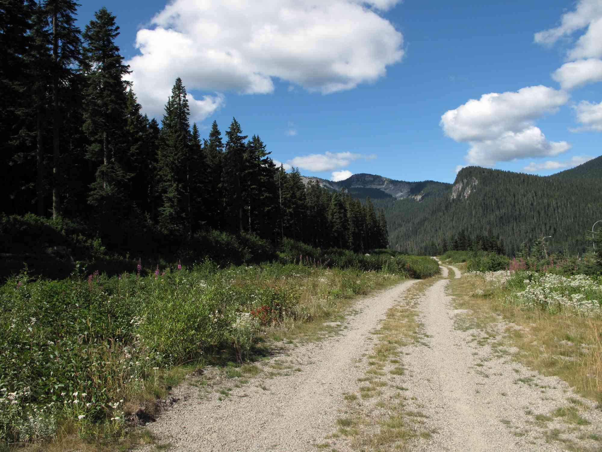
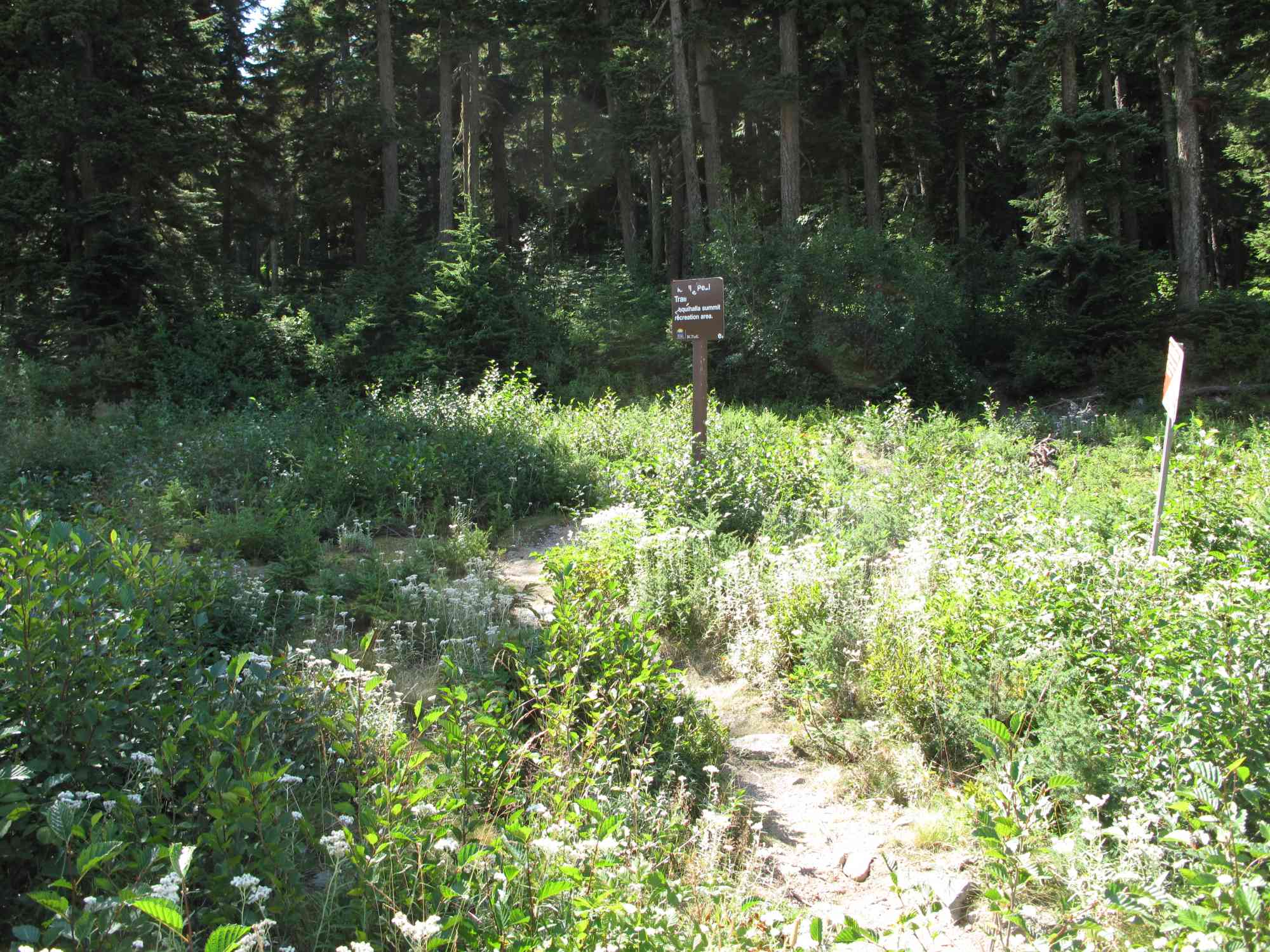
7) Follow the small service road. The trailhead is immediately after a small creek.
Google Directions
Use our written directions in preference to the Google directions below as they are likely more accurate.

Linear Trail
We have a downloadable GPS map for this trail!
Last Updated on Thursday, March 23, 2023
Need help using it? See our FAQ.Map Waypoints
GPS Notes
Leave a comment
You must Login to post a comment!