
Myra - Lost Lake Loop
Myra - Lost Lake Loop
SOUTHEAST KELOWNA
20 min from Downtown Kelowna
4530-4710 Stewart Rd E, Kelowna, BC V1W 4C1Spectacular city and pond views, with numerous wild flowers in the spring.
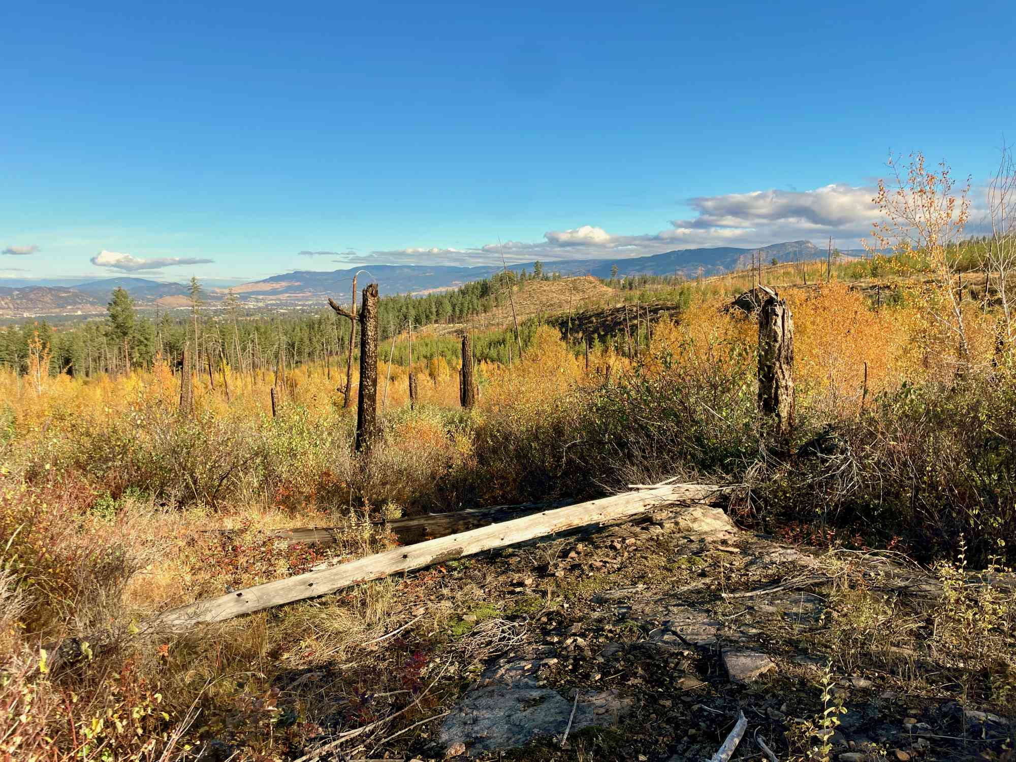
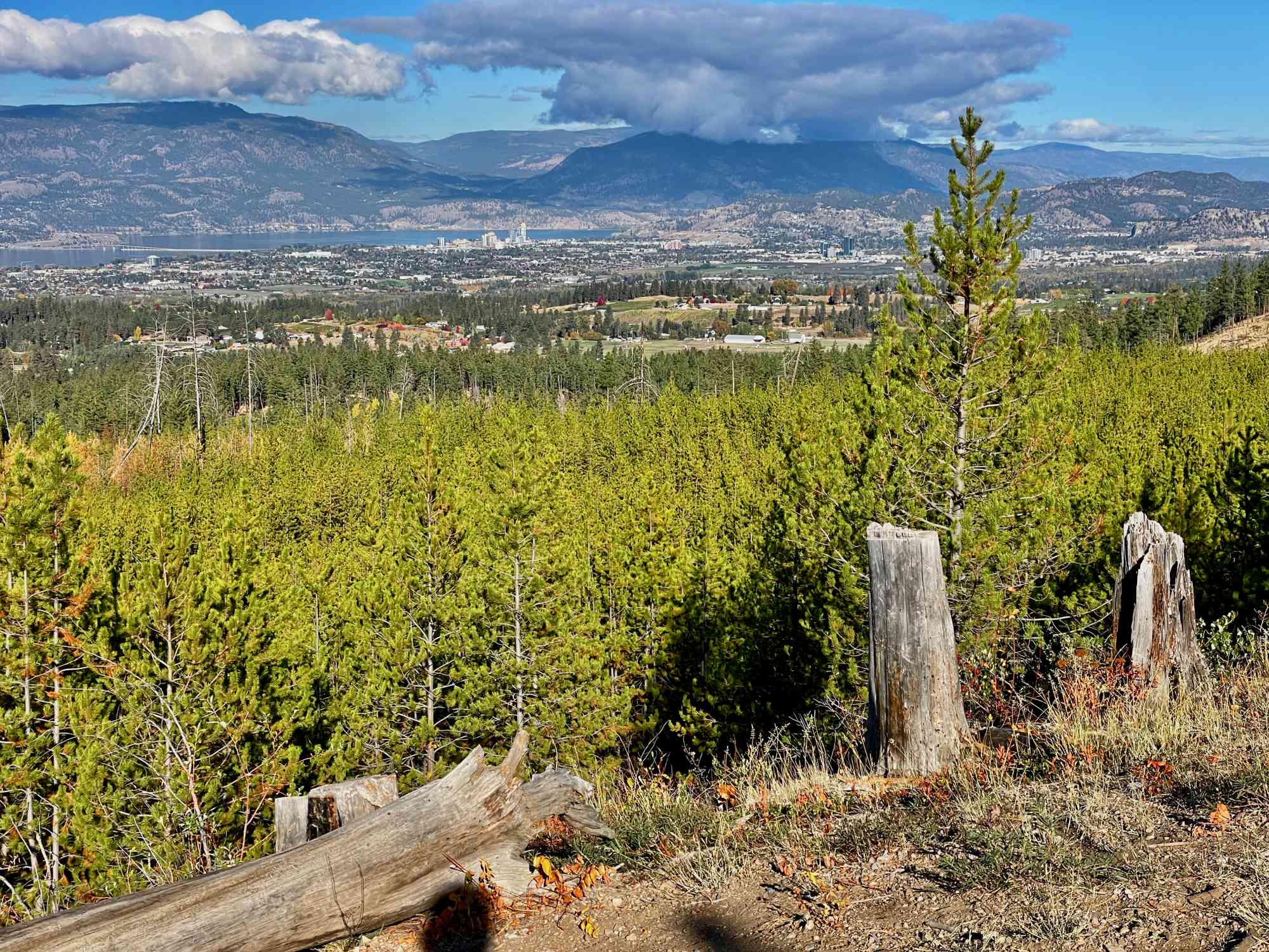
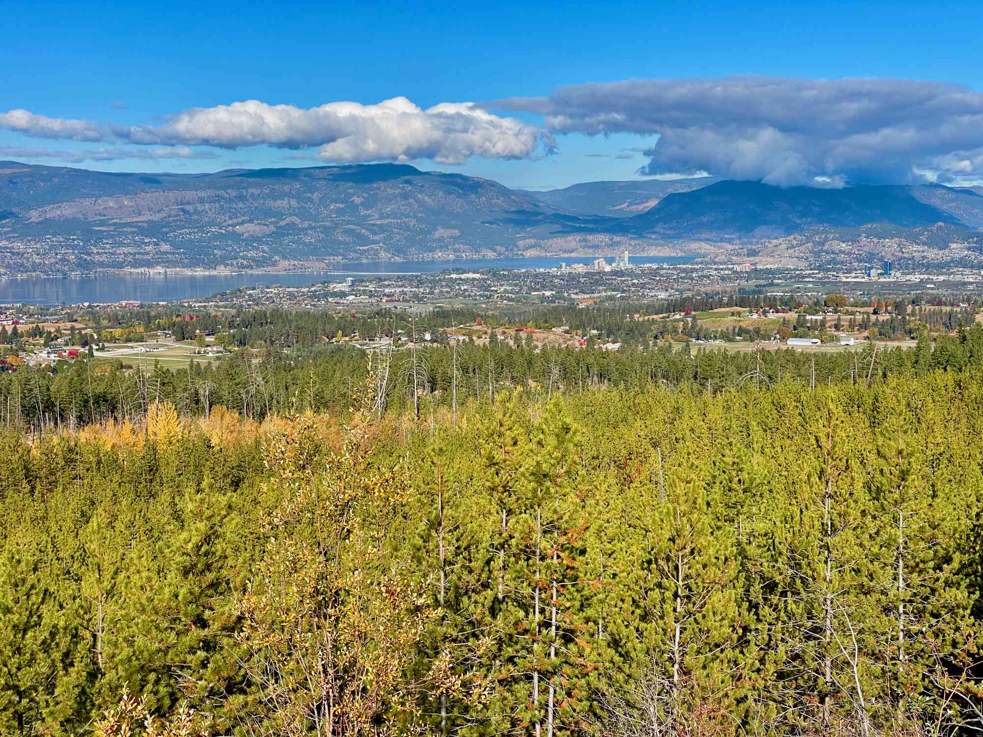
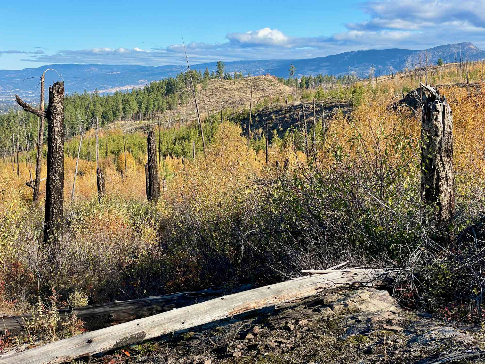
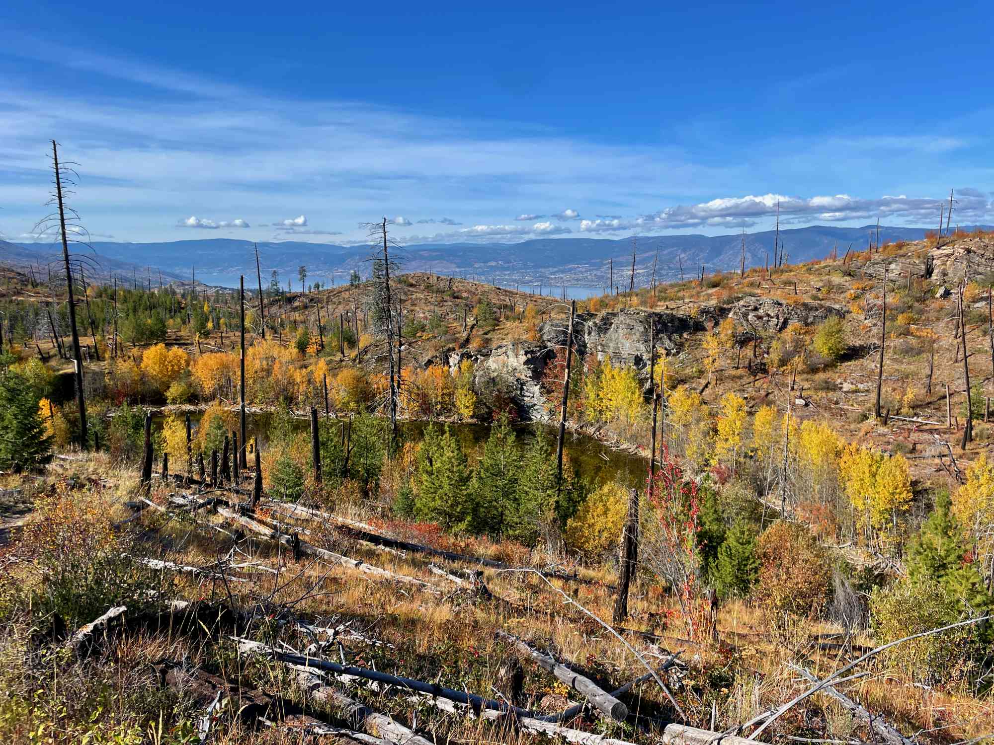
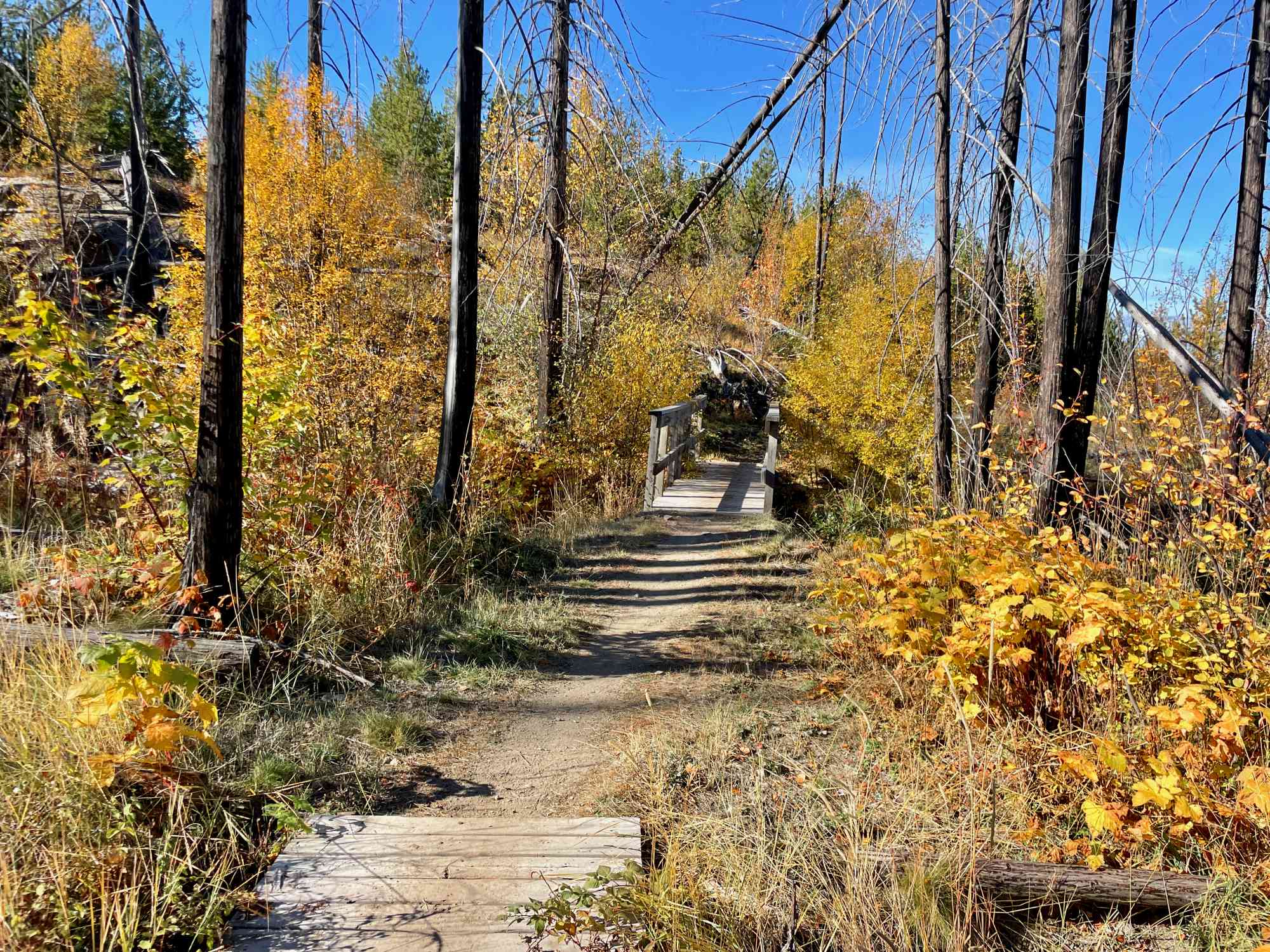
Bursting with great views, this particular route features a stop at Rose Lookout just before Teddy Bear Junction, and then up to Lost Lake for a cliffside view of the pond. Returning along the north-east side of the park, there will be no backtracking on this journey!
Route
Kids & Pets
Features
Address
Driving Time
From Downtown Kelowna, approximate travel time by car is 20 min.
Notable GPS Co-ordinates
Google Directions
Duration Calculator
The metrics for this trail have been converted to round-trip formation for distance and elevation gain/descent if necessary.
Estimated Time:
-- hours
We have a downloadable GPS map for this trail!
Last Updated on Sunday, January 26, 2025
Need help using it? See our FAQ.Map Waypoints
GPS Notes
Hello, how do I join this hike? I am interested but I do not have a decent car to drive that road. Can I please hop in in car pool?
Sunday, April 9, 2023 at 12:49 PMJasmin tamang
Leave a comment
You must Login to post a comment!