
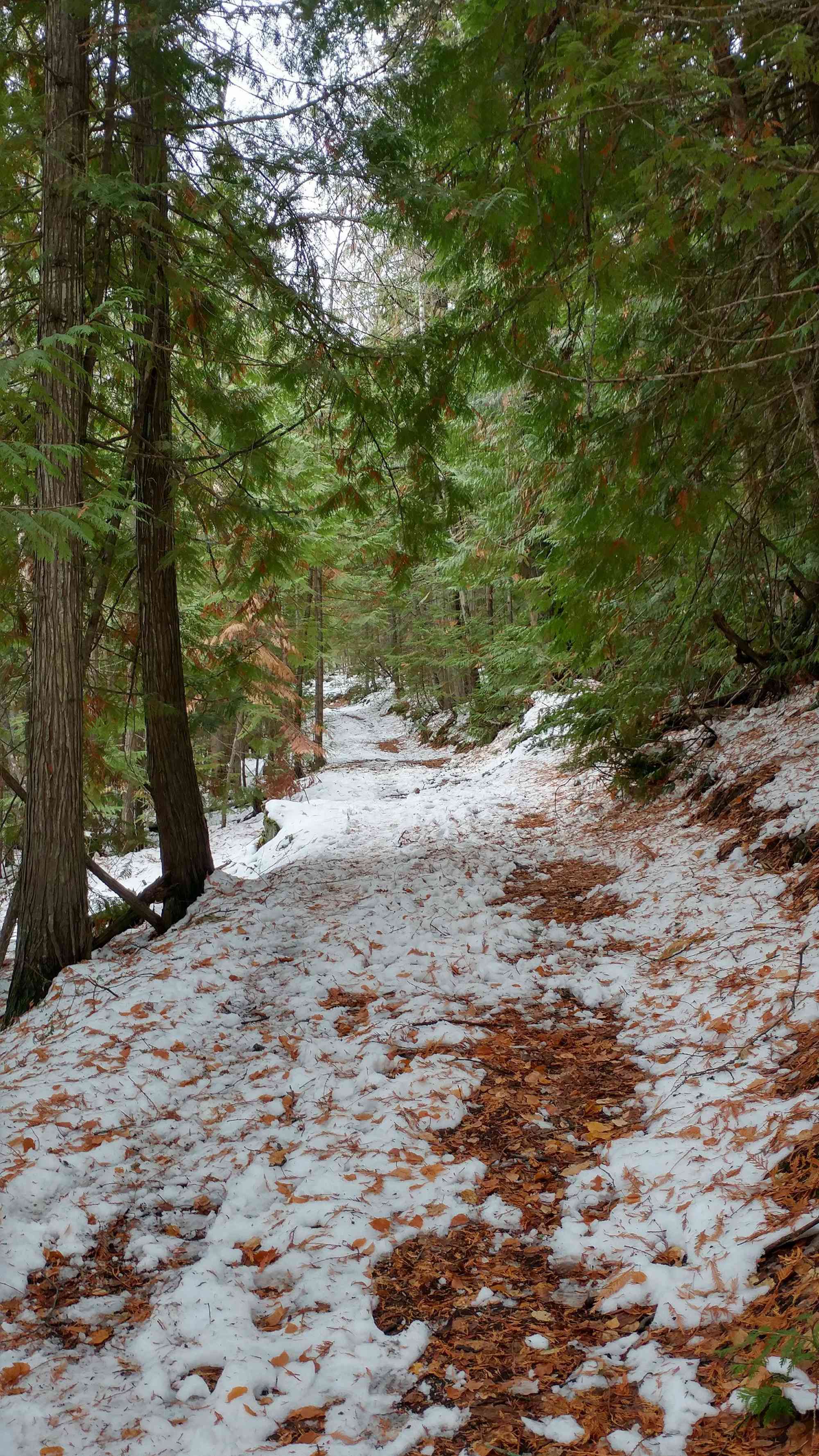
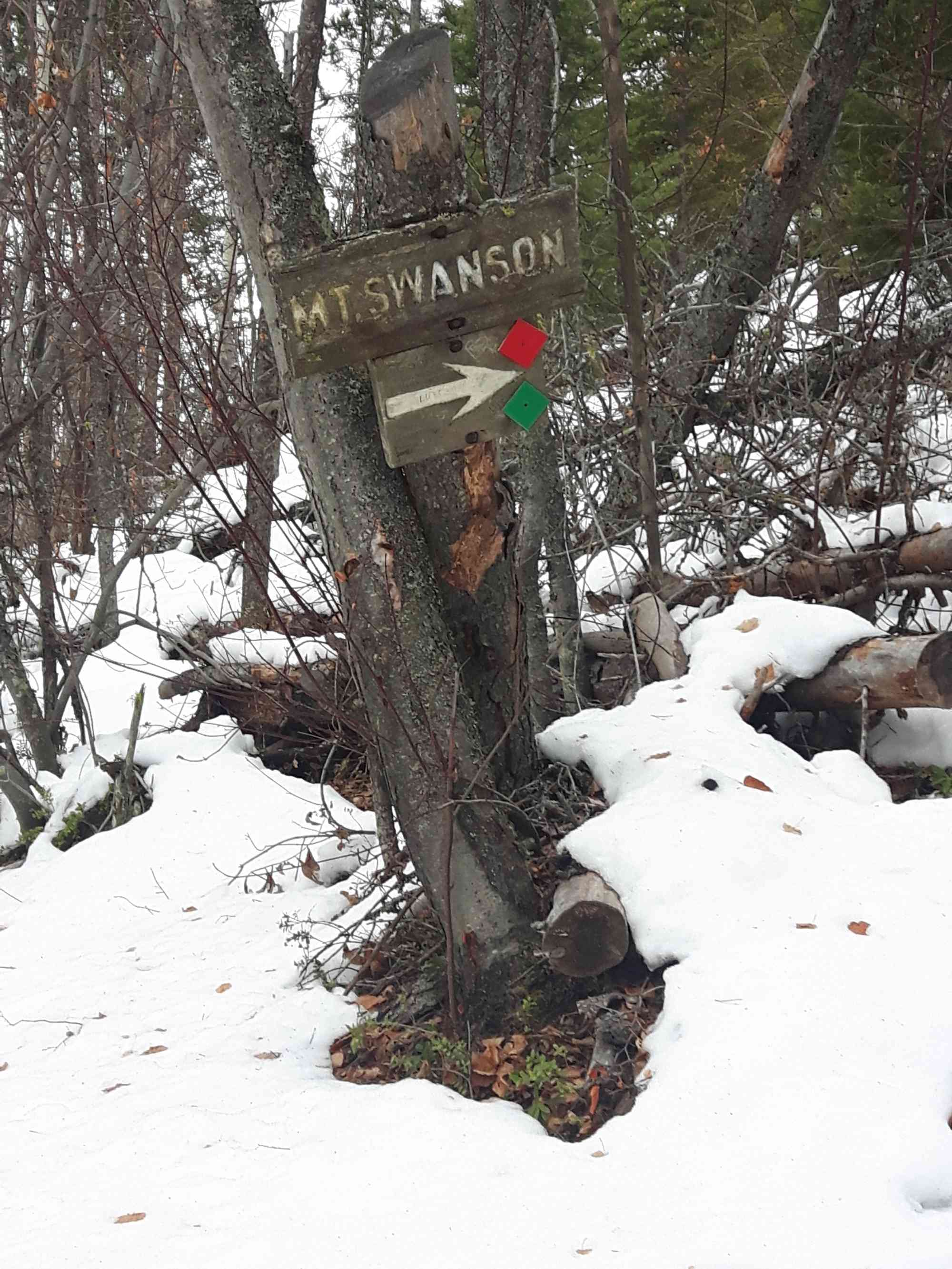
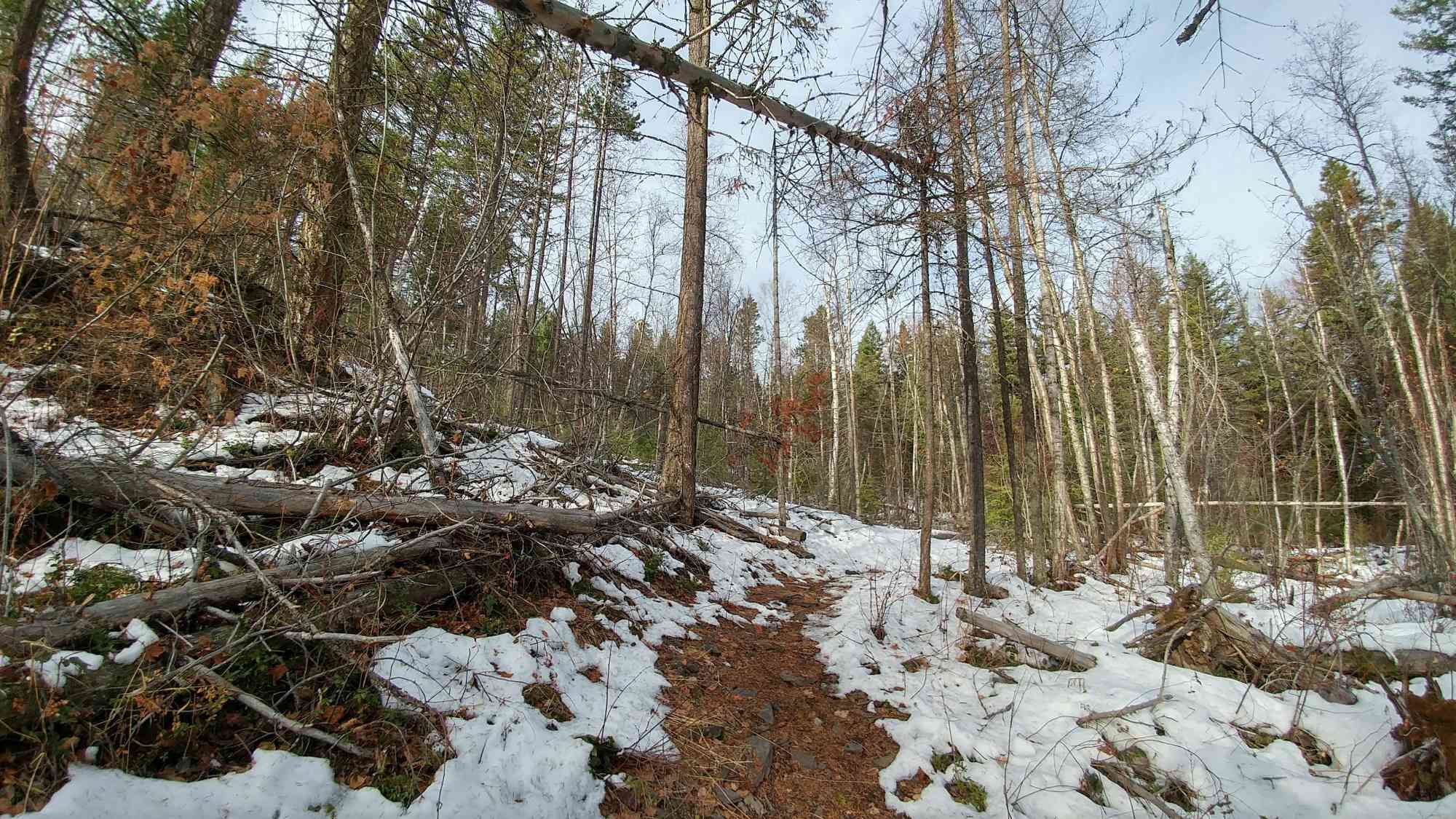
Mt. Rose Swanson - Perimeter Loop (w/o Overview Lookout)
Mt. Rose Swanson - Perimeter Loop (w/o Overview Lookout)
Armstrong
30 min from Vernon
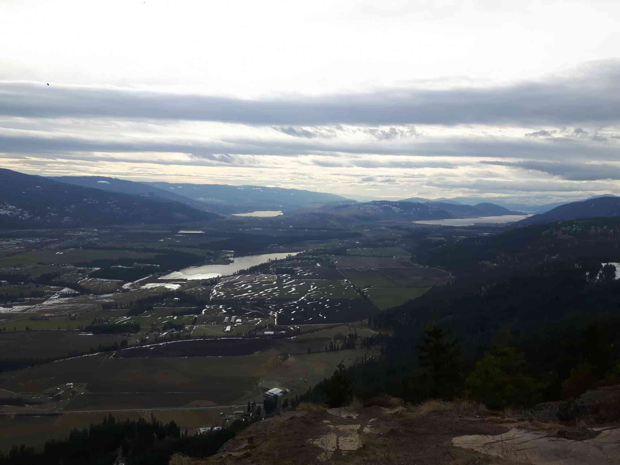
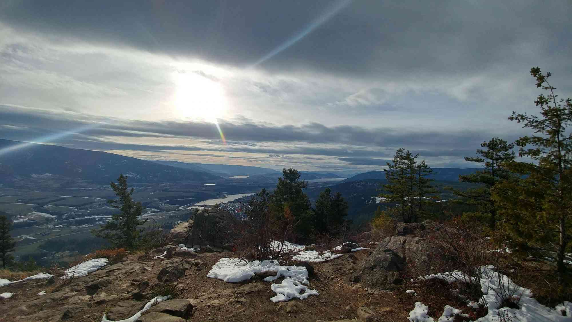
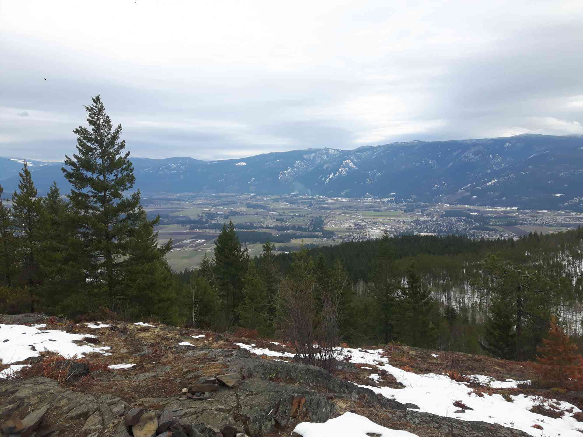
Chamberlaine Rd, Armstrong, BC V0E 1B4This hike is located just West of Armstrong. The south eastern lookout provides amazing views of the farm land below with Otter lake, Swan Lake, and Okanagan Lake in the distance. Farther along the trail at the peak of Mount Swanson, you realize the true height of the mountains as you look down the valleys towards Enderby and Salmon Arm.
Route
Kids & Pets
Features
Address
Driving Time
From Vernon, approximate travel time by car is 30 min.
Notable GPS Co-ordinates
Detailed Directions
2. When approaching Armstrong, turn LEFT onto Rosedale Avenue.
3. Turn Right onto Okanagan Street, and then after the left hand curve, turn RIGHT to stay on Okanagan Street.
4. Turn LEFT onto Wood Avenue which will turn into Salmon River Road.
5. After the right hand curve, TURN LEFT to stay on Salmon River Road.
6. TURN LEFT onto Hallam Road.
7. Turn RIGHT to stay on Hallam and then take the second LEFT to stay on Hallam Road.
8. Turn LEFT onto Chamberlain Rd and follow it to the marked trailhead after approximately 2 km.
Google Directions
Use our written directions in preference to the Google directions below as they are likely more accurate.
We have a downloadable GPS map for this trail!
Last Updated on Thursday, March 23, 2023
Need help using it? See our FAQ.Map Waypoints
GPS Notes
Leave a comment
You must Login to post a comment!