
Mt. Rose Swanson - Highlights Loop
Mt. Rose Swanson - Highlights Loop
Armstrong
30 min from Vernon
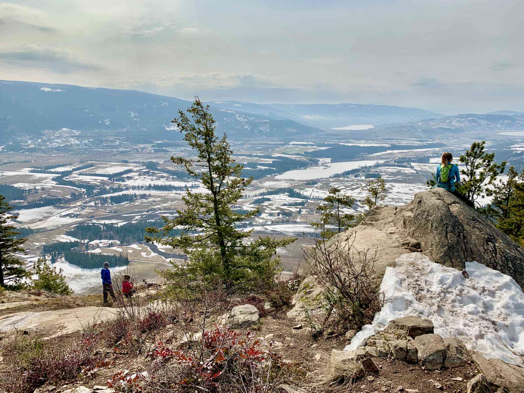
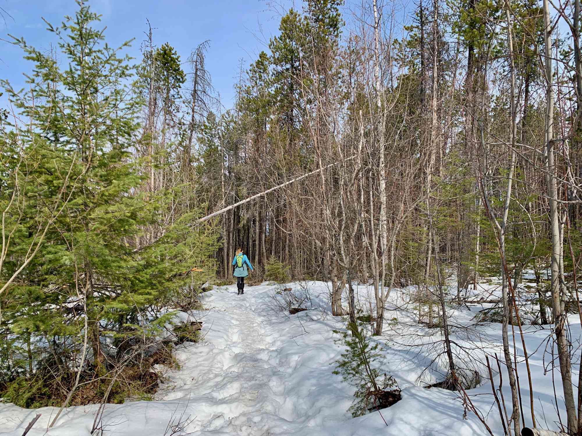
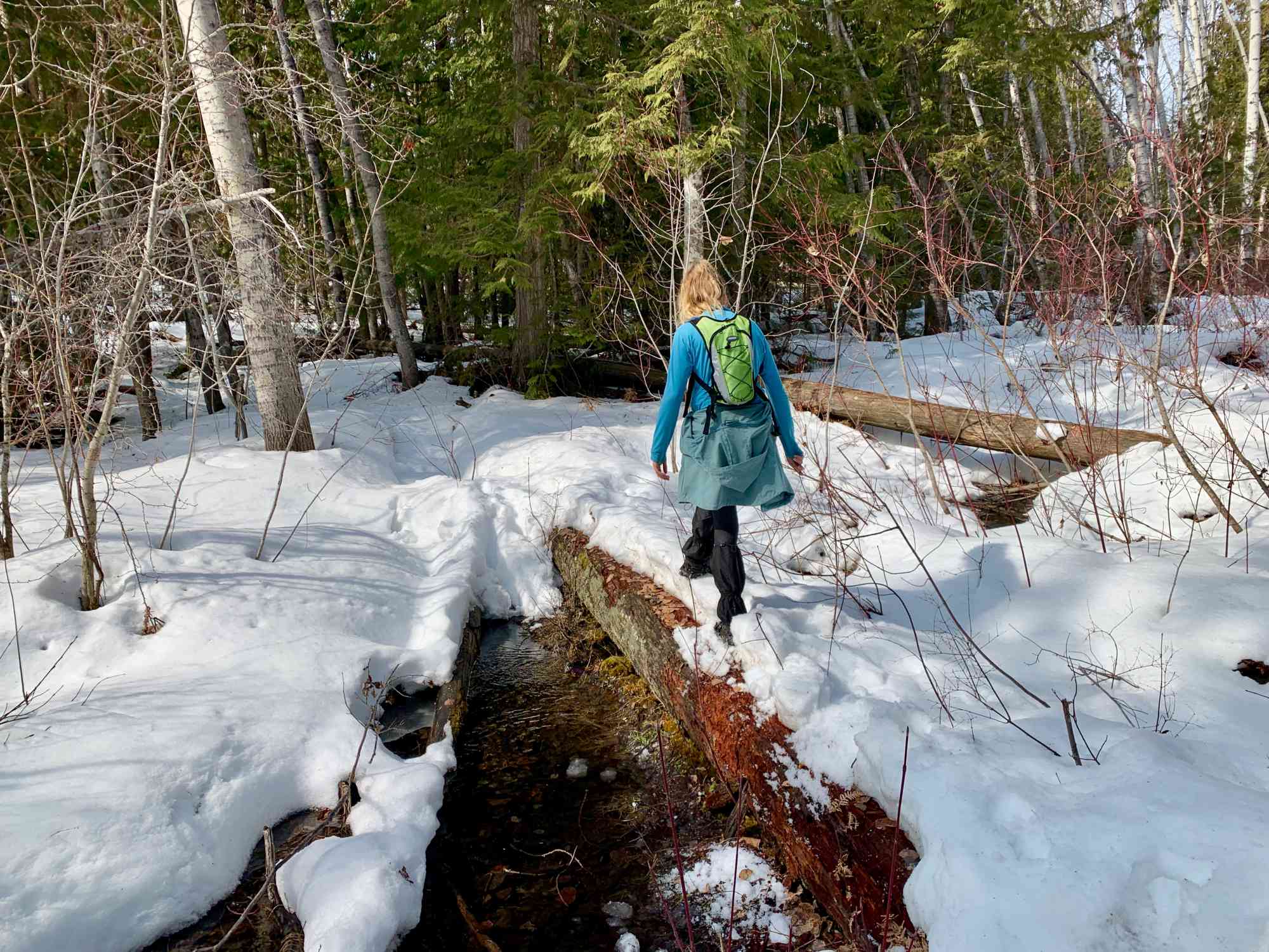
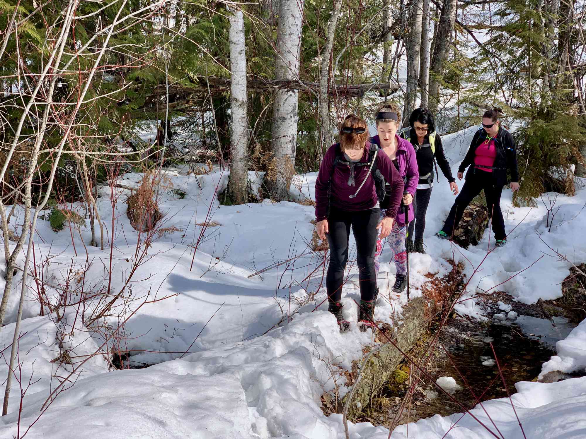
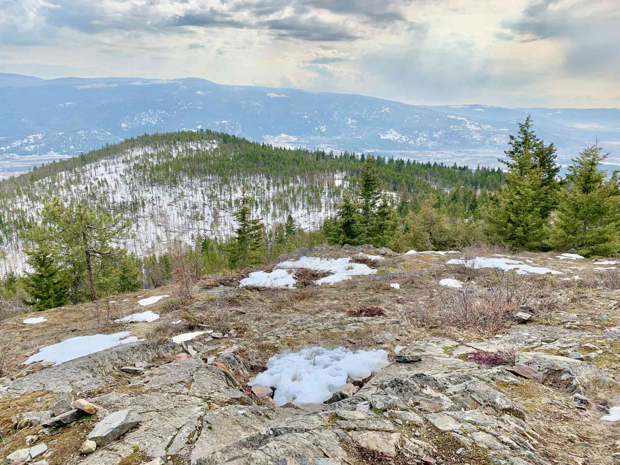
Chamberlaine Rd, Armstrong, BC V0E 1B4Enjoy the highlights Mt. Rose-Swanson, without having to do the arduous long trek around the entire perimeter of the park. Skipping Benchmark ad beeline directly for the Tower lookout and Miller's Bluff! The trail varies between single and double-wide and is suitable for almost all ages and skill levels.
At the parking lot take the trailhead to the left, and continue all the way up to the Tower viewpoint. Skip the fork to the left as this would take hikers to the lesser enjoyable Overview lookout. After leaving Tower, continue counter-clockwise and take the SECOND fork to the right after about half an hour to begin returning to the parking lot via Miller's Bluff.
At the parking lot take the trailhead to the left, and continue all the way up to the Tower viewpoint. Skip the fork to the left as this would take hikers to the lesser enjoyable Overview lookout. After leaving Tower, continue counter-clockwise and take the SECOND fork to the right after about half an hour to begin returning to the parking lot via Miller's Bluff.


Route
Kids & Pets
Features
Address
Driving Time
From Vernon, approximate travel time by car is 30 min.
Notable GPS Co-ordinates
Detailed Directions
2. When approaching Armstrong, turn LEFT onto Rosedale Avenue.
3. Turn Right onto Okanagan Street, and then after the left hand curve, turn RIGHT to stay on Okanagan Street.
4. Turn LEFT onto Wood Avenue which will turn into Salmon River Road.
5. After the right hand curve, TURN LEFT to stay on Salmon River Road.
6. TURN LEFT onto Hallam Road.
7. Turn RIGHT to stay on Hallam and then take the second LEFT to stay on Hallam Road.
8. Turn LEFT onto Chamberlain Rd and follow it to the marked trailhead after approximately 2 km.
Google Directions
Use our written directions in preference to the Google directions below as they are likely more accurate.
We have a downloadable GPS map for this trail!
Last Updated on Thursday, March 23, 2023
Need help using it? See our FAQ.Map Waypoints
GPS Notes
Leave a comment
You must Login to post a comment!