Mt. Nkwala — Lower South Loop

West Bench

11 min from Downtown Penticton
3815 Forsyth Dr, Penticton, BC V2A 8Z2

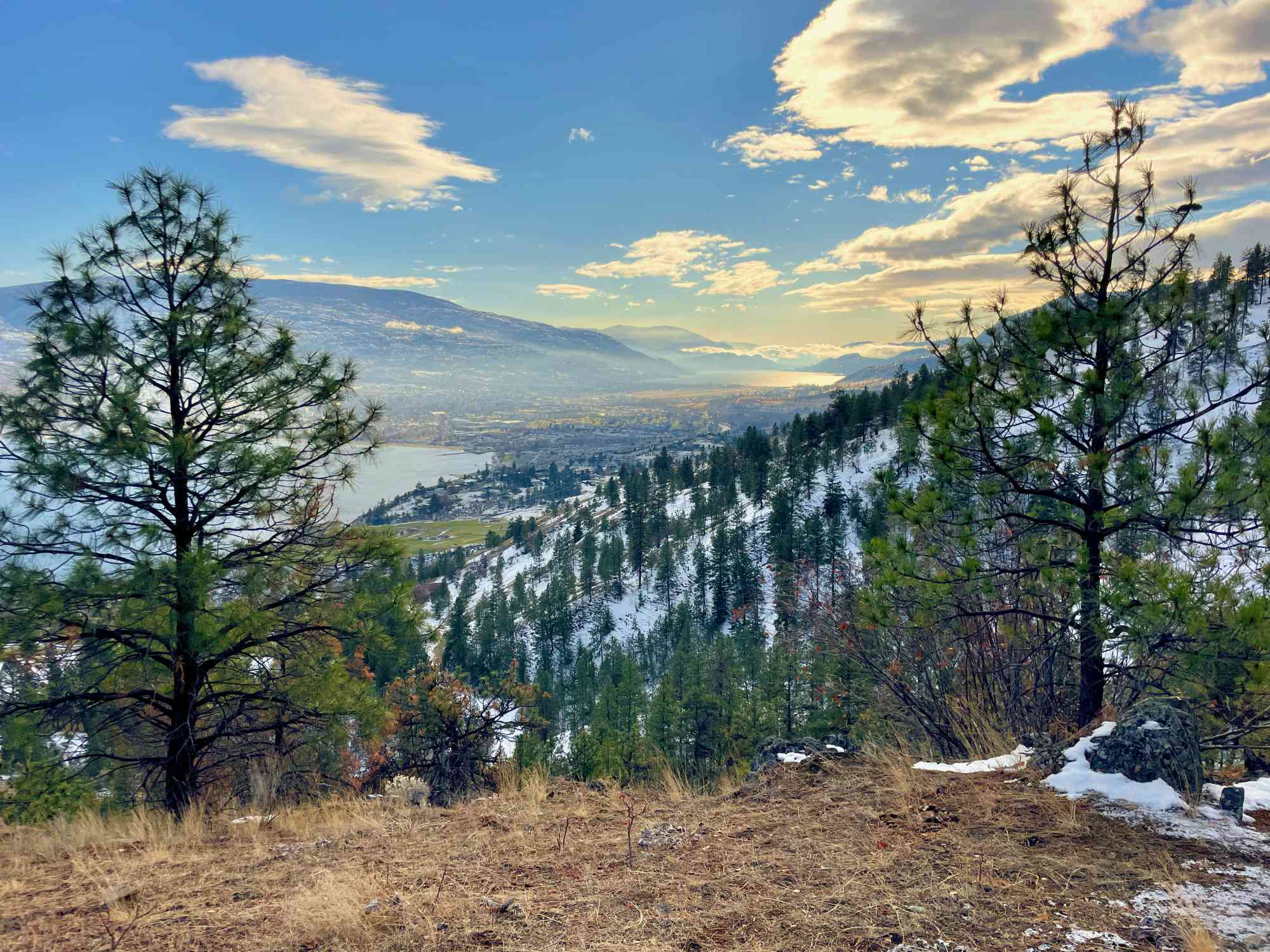
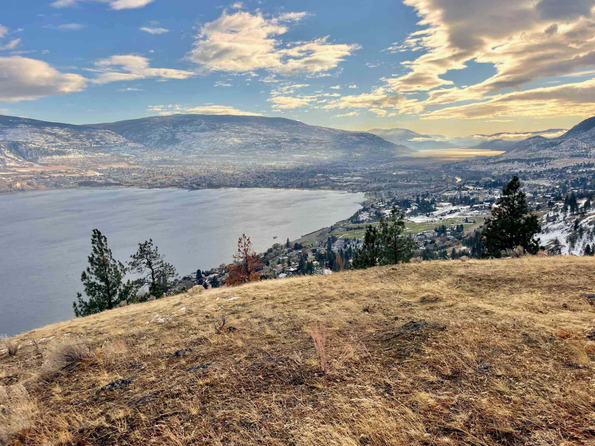
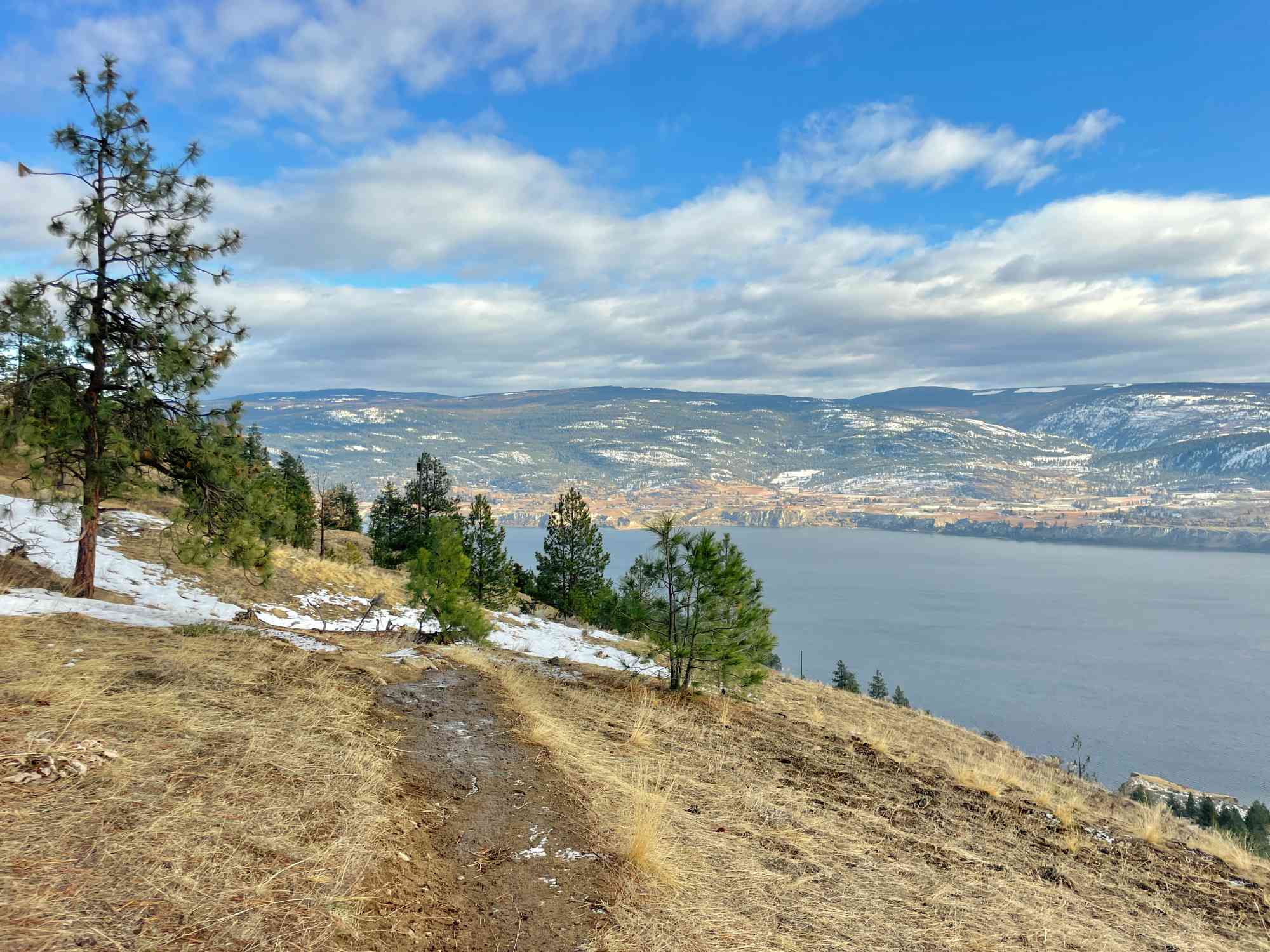
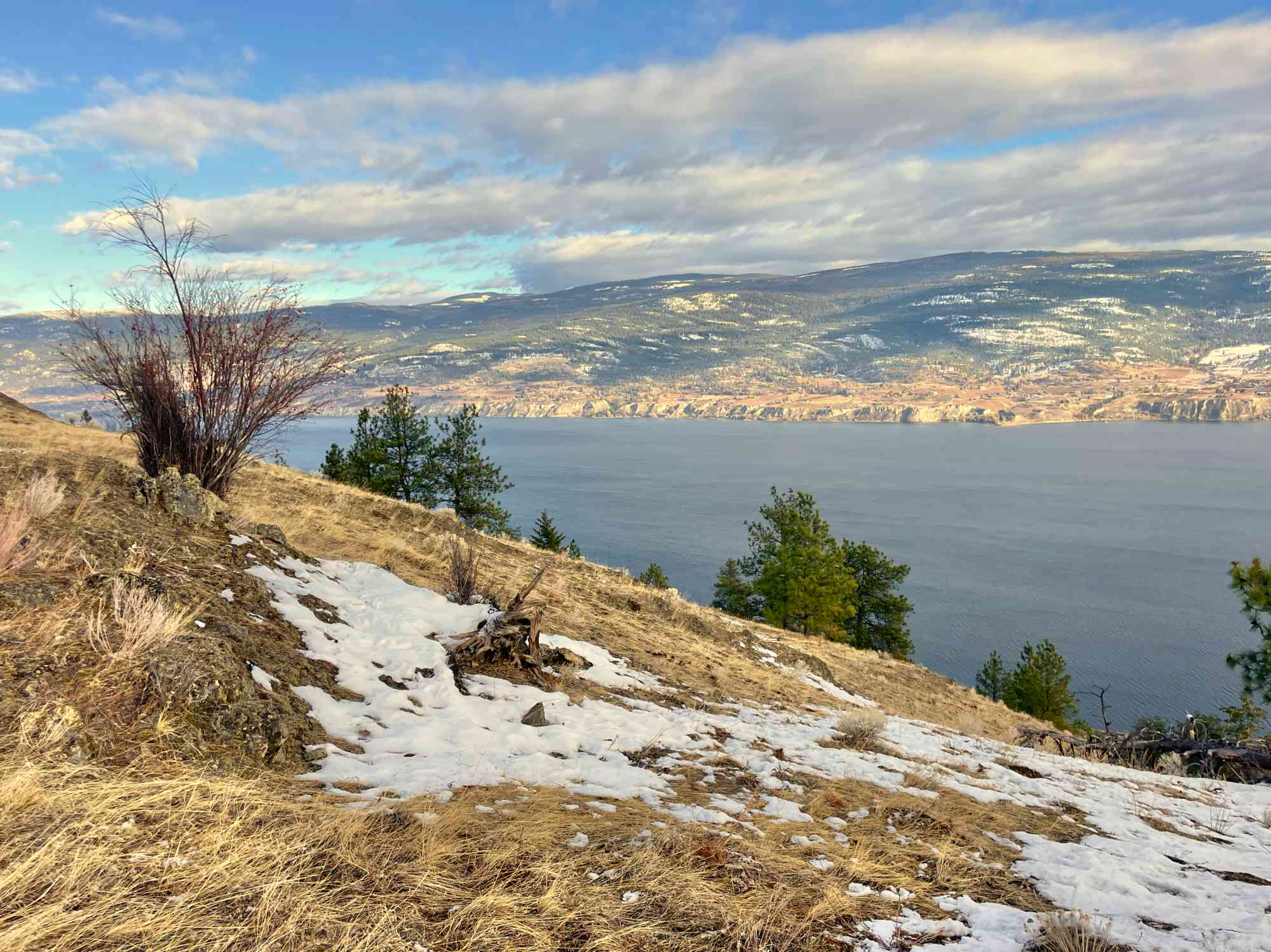
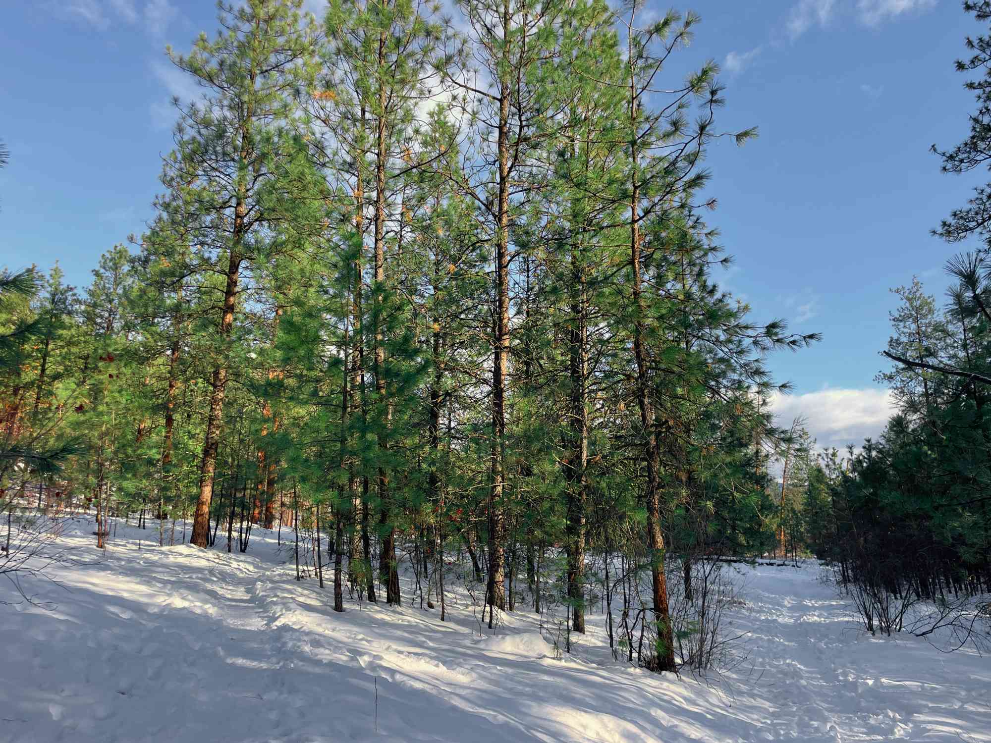
Gentle saunter below the summit of Mt. Nkwala with great views of Okanagan Lake.

** Important: This park resides on Penticton Indian Band land. However, hikers are allowed to enjoy this mountain regardless of their race. Paper permits are mandatory and can be obtained from the Penticton Indian Band admin office free of charge at 841 Westhills Dr, RR#2, S80, C#19, Penticton, BC. **

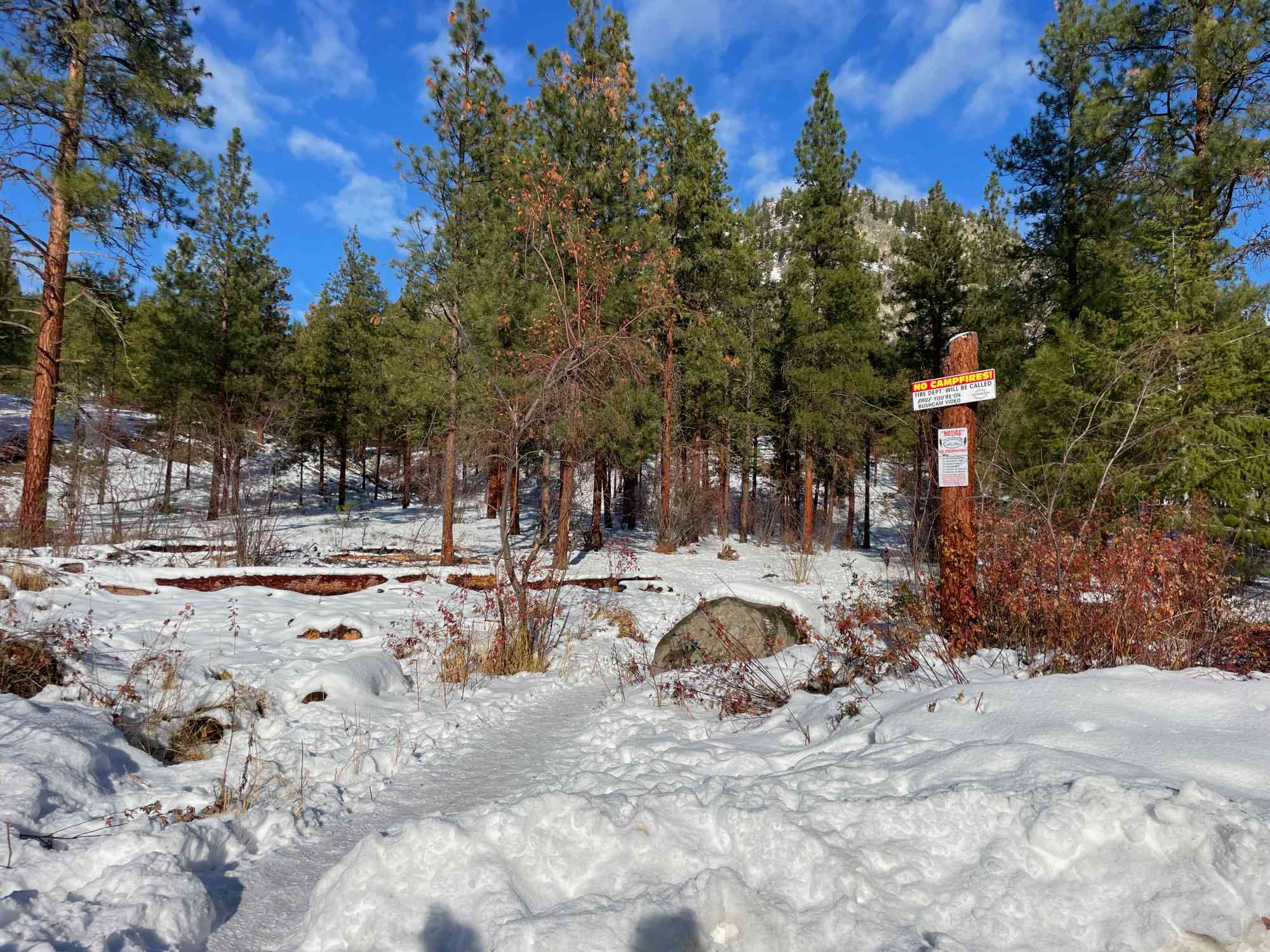
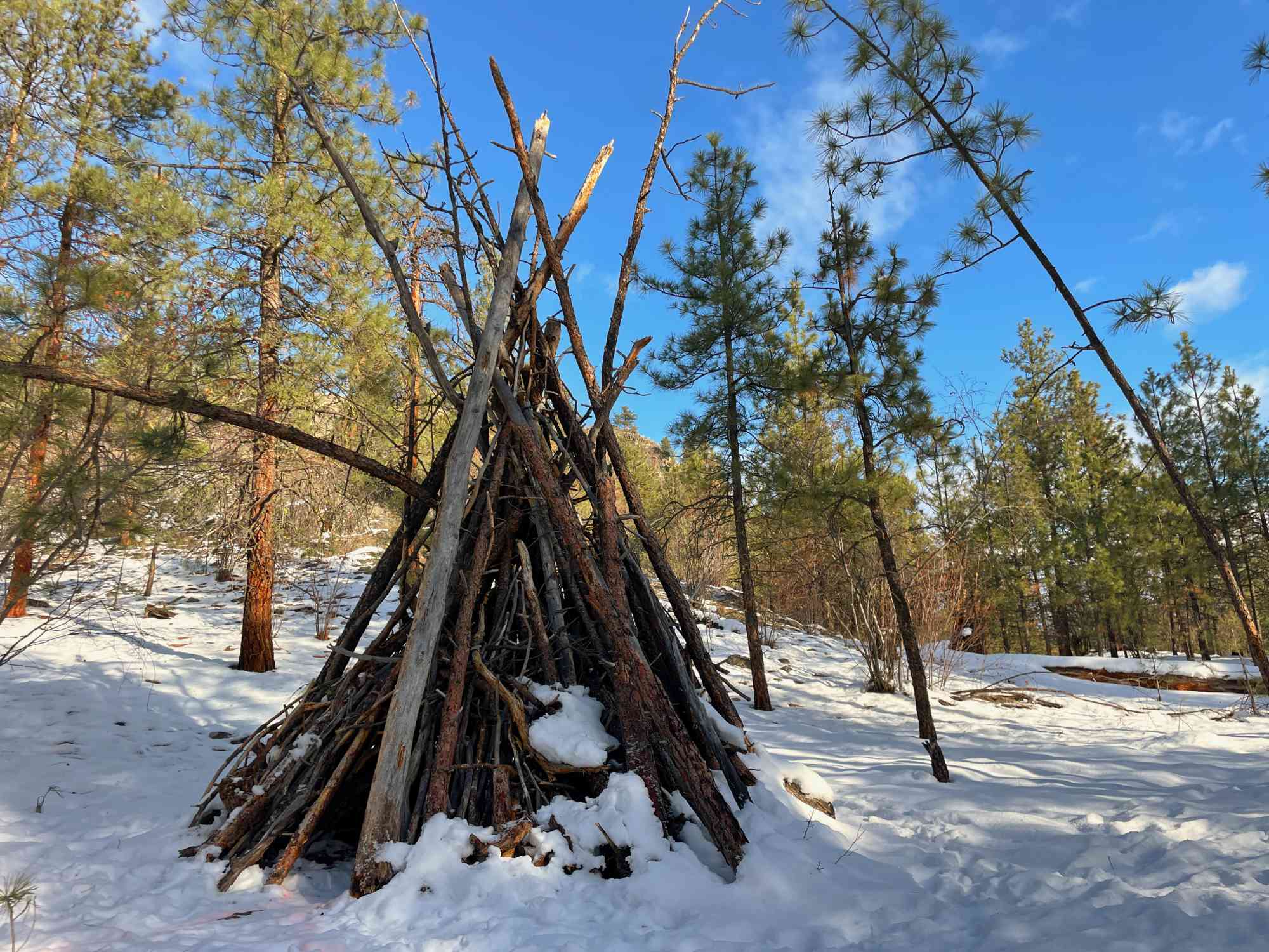
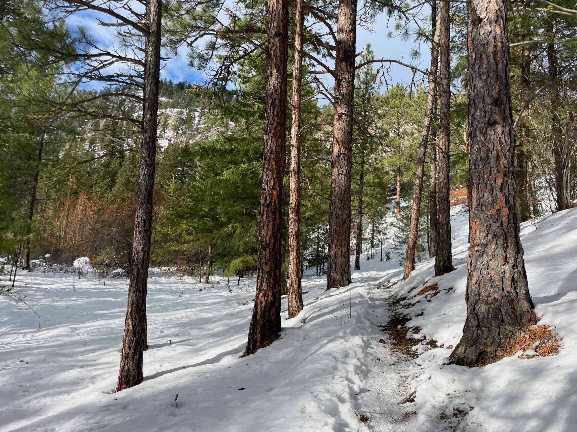
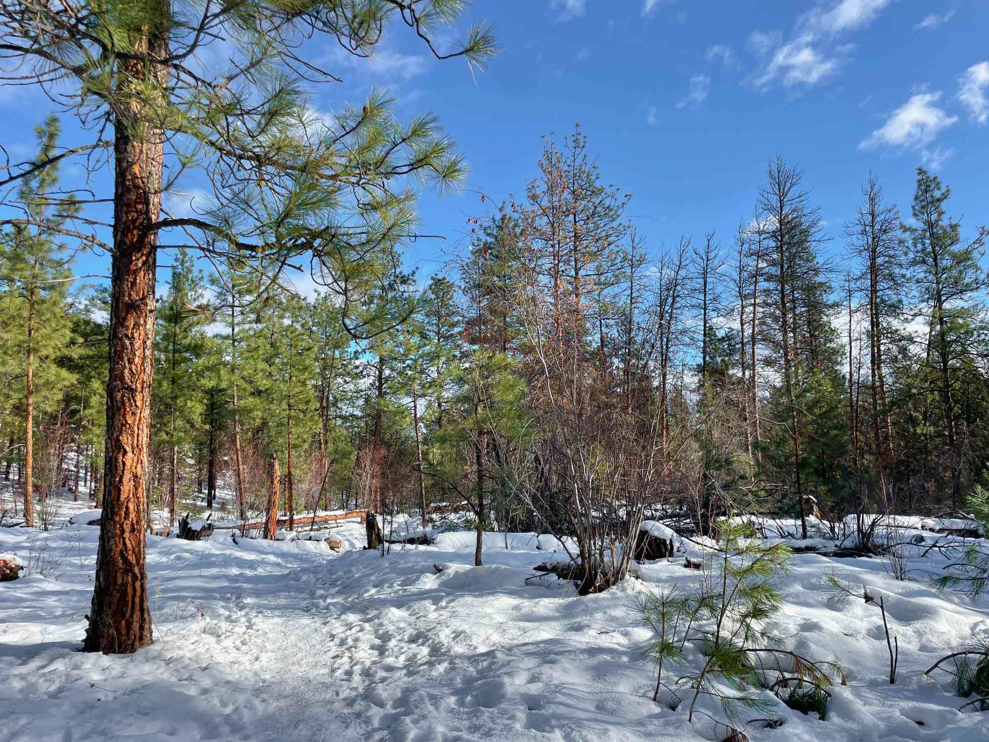
Enjoy a meander through the south lower-lying trails around Mt. Nkwala for great views of Okanagan Lake, and a fair deal of tree-cover on the hotter summer days. The trails are frequented in the winter by hikers and cyclists, so the routes are easier to follow without GPS. However, there is absolutely no signage throughout the trails for directions and, due to the number of forks, it is easy to get turned around.

Route
  • Short
  • Average
  • Out & Back Same Way
  • 3.79 km round-trip
  • 1 hr solo
  • 1 hr 38 min group
  • 222 m gain
  • Variable Width
Kids & Pets
  • Child-Friendly
Features
  • Has Cycling Trails

Address

3815 Forsyth Dr, Penticton, BC V2A 8Z2

Driving Time

From Downtown Penticton, approximate travel time by car is 11 min.

Notable GPS Co-ordinates

Google Directions

Create Album

Photo Albums
No albums to show

If you need assistance, please contact us
Linear Trail
This is a linear (out and back/not a loop) trail; the values below indicate the one-way statistics from the trailhead to the end of the route.
  • Starting Elevation: 582 meters
  • Ending Elevation: 582 meters
  • Maximum Elevation: 707 meters
  • Minimum Elevation: 582 meters
  • Elevation Gain: 222 meters
  • Elevation Loss: -222 meters
  • Slope Up: 11.00%
  • Slope Down: 10.00%

View Full Screen

Map Waypoints

GPS Notes
We have often color-coded our GPX tracks. While it is not always the case, we have tried to use the following convention on our newer maps:

Green/Blue: human-verified by our volunteers.
Purple: overgrown trail, bushwhack, or on private property.
Red: default color or not reality-checked
Yellow: Road
Other Colors: May have been satellite traced or imported from third party sources.

While we strongly believe our GPS are accurate, please be aware that no logging system is perfect and to be aware of potential errors. Use at your own risk.
There are currently no user comments.

Leave a comment

You must Login to post a comment!

Share this Trail