
Mt. Eneas (Peachland to Summerland)
Mt. Eneas (Peachland to Summerland)
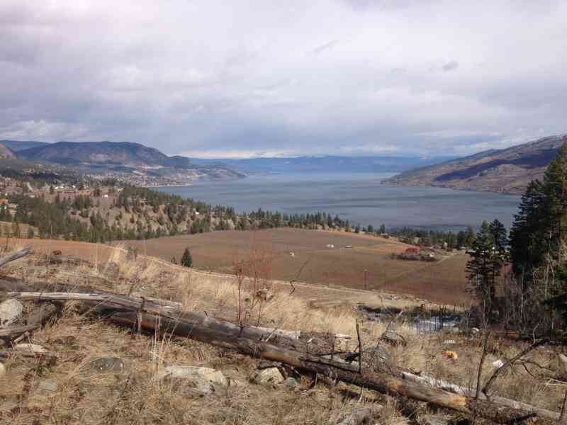
Peachland
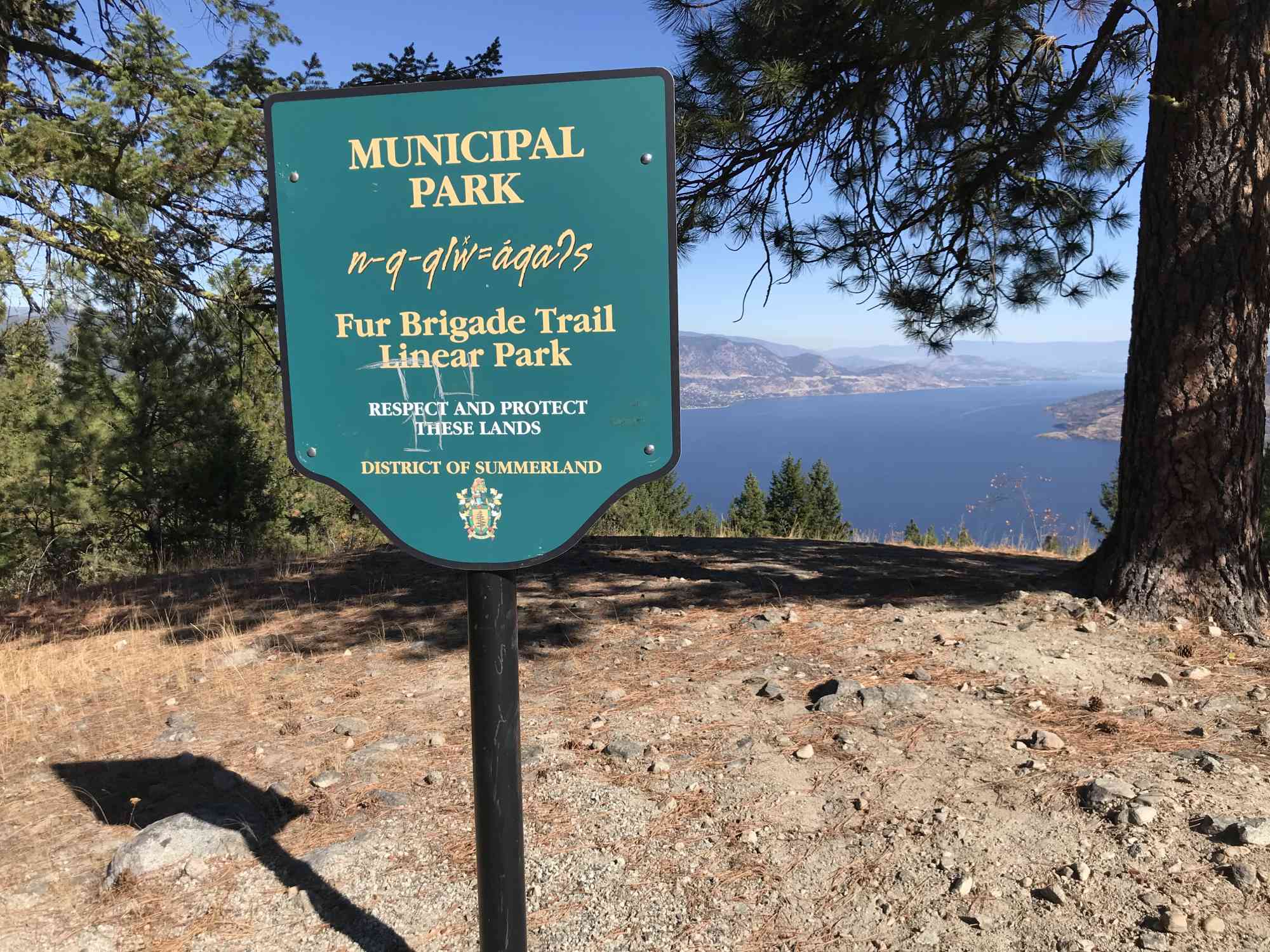
This track, originally part of the route used by the Hudson Bay Company fur traders to transport furs, goods, and supplies from Fort Vancouver is a unique route that spans hundreds of kilometres across the province.
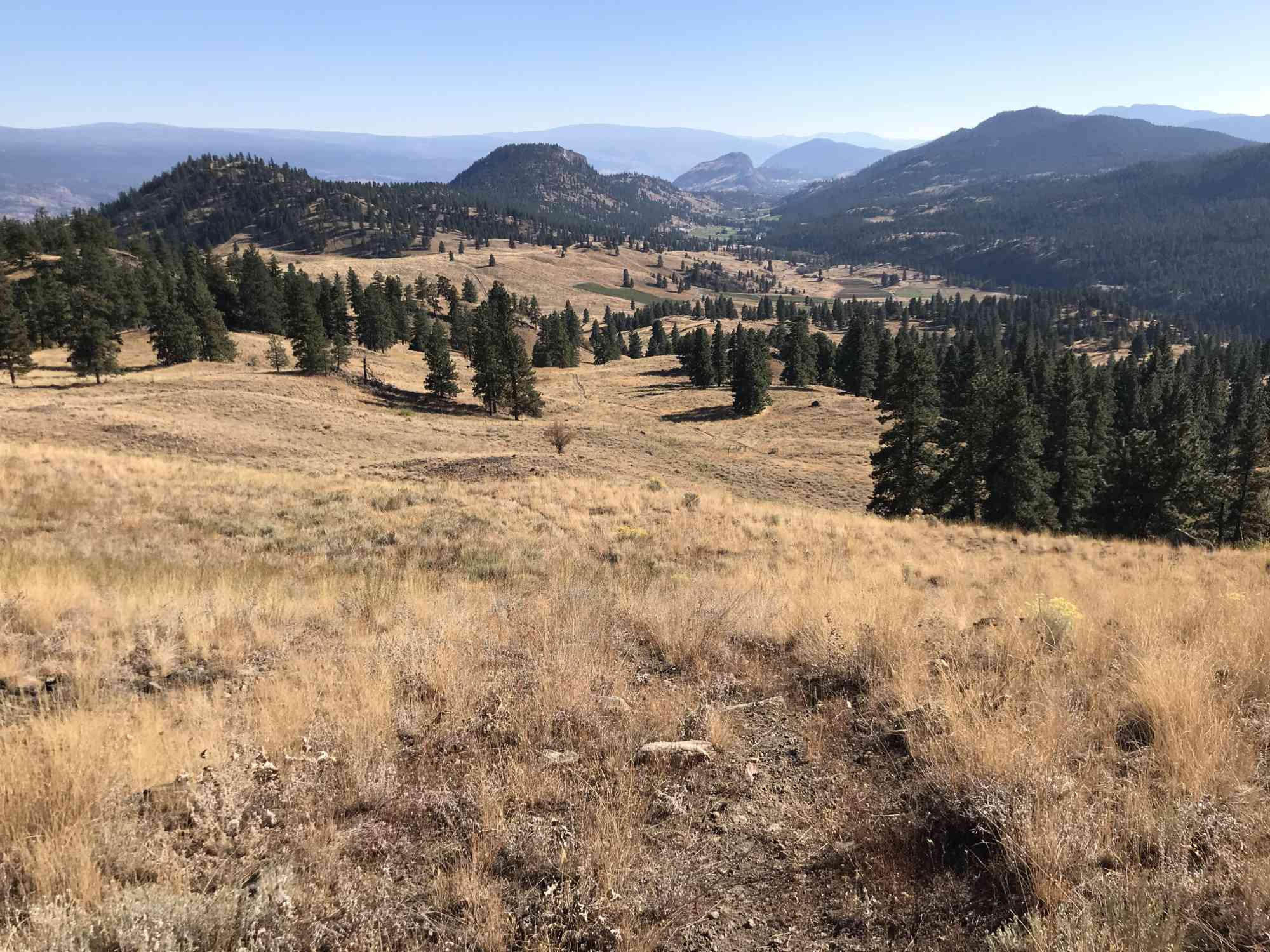
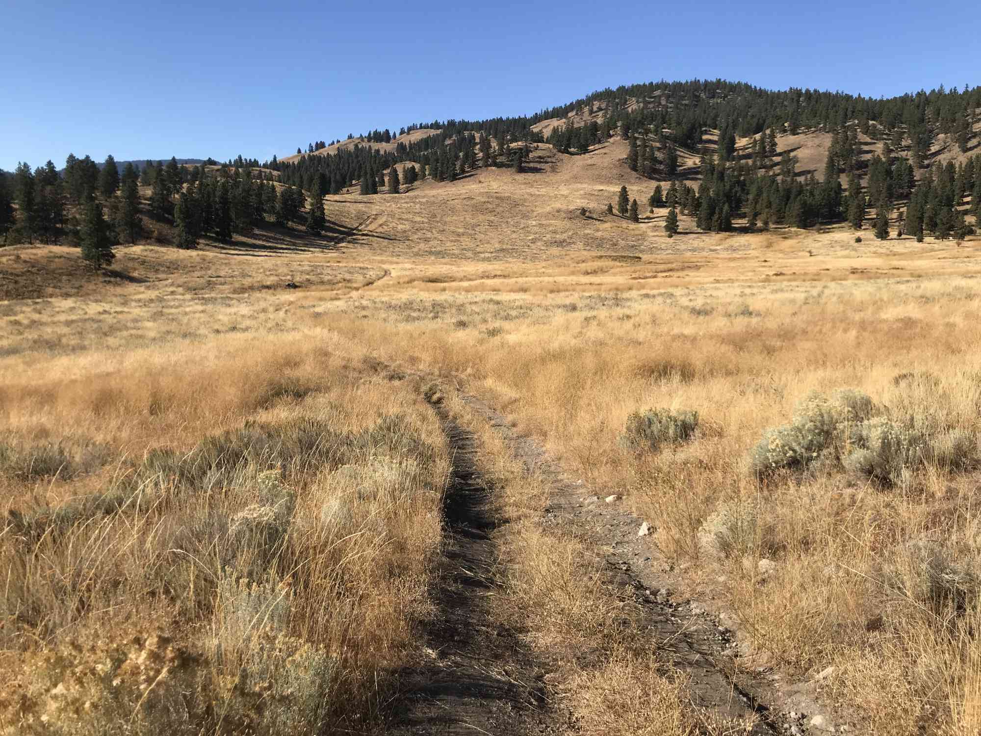
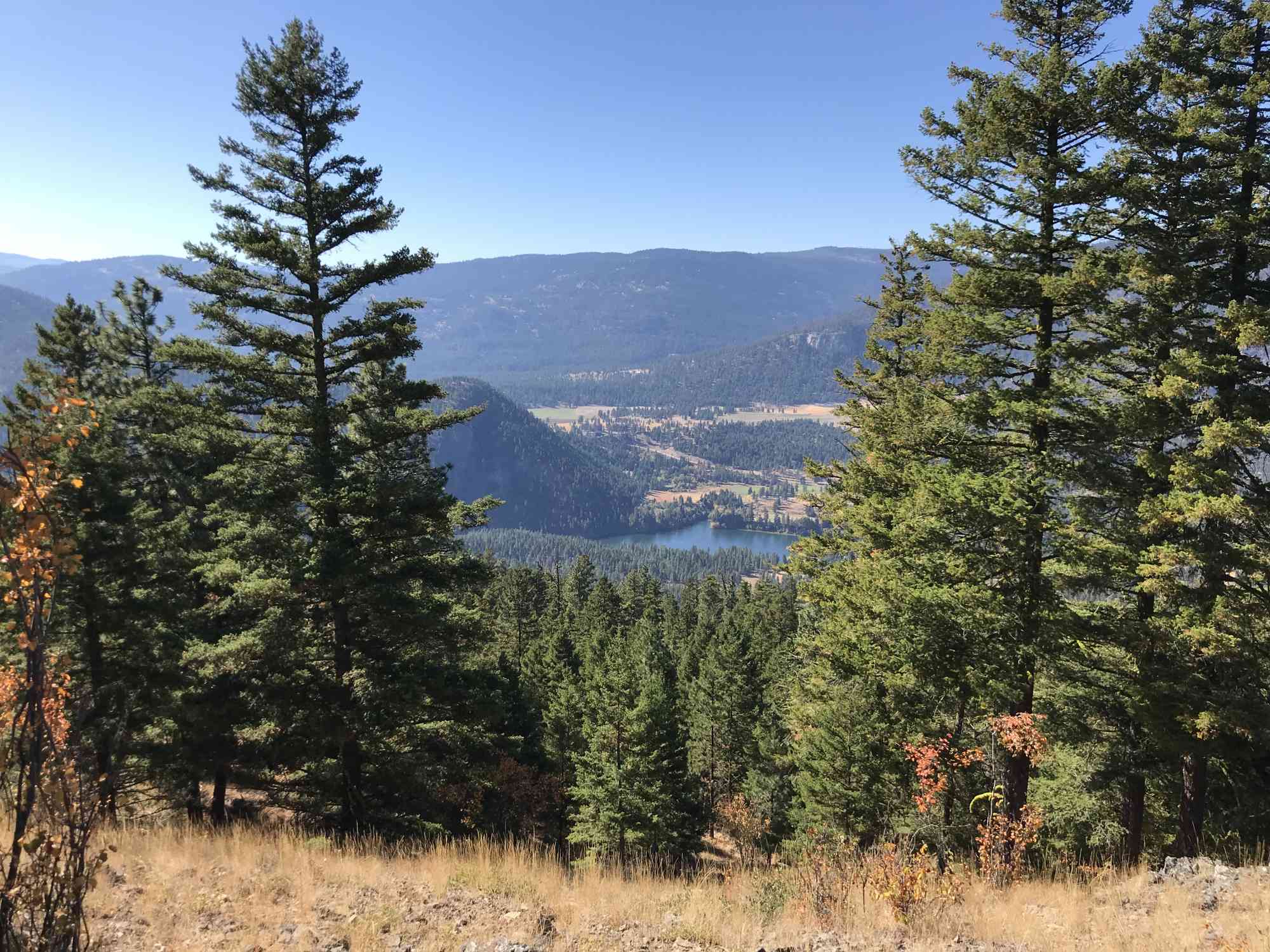
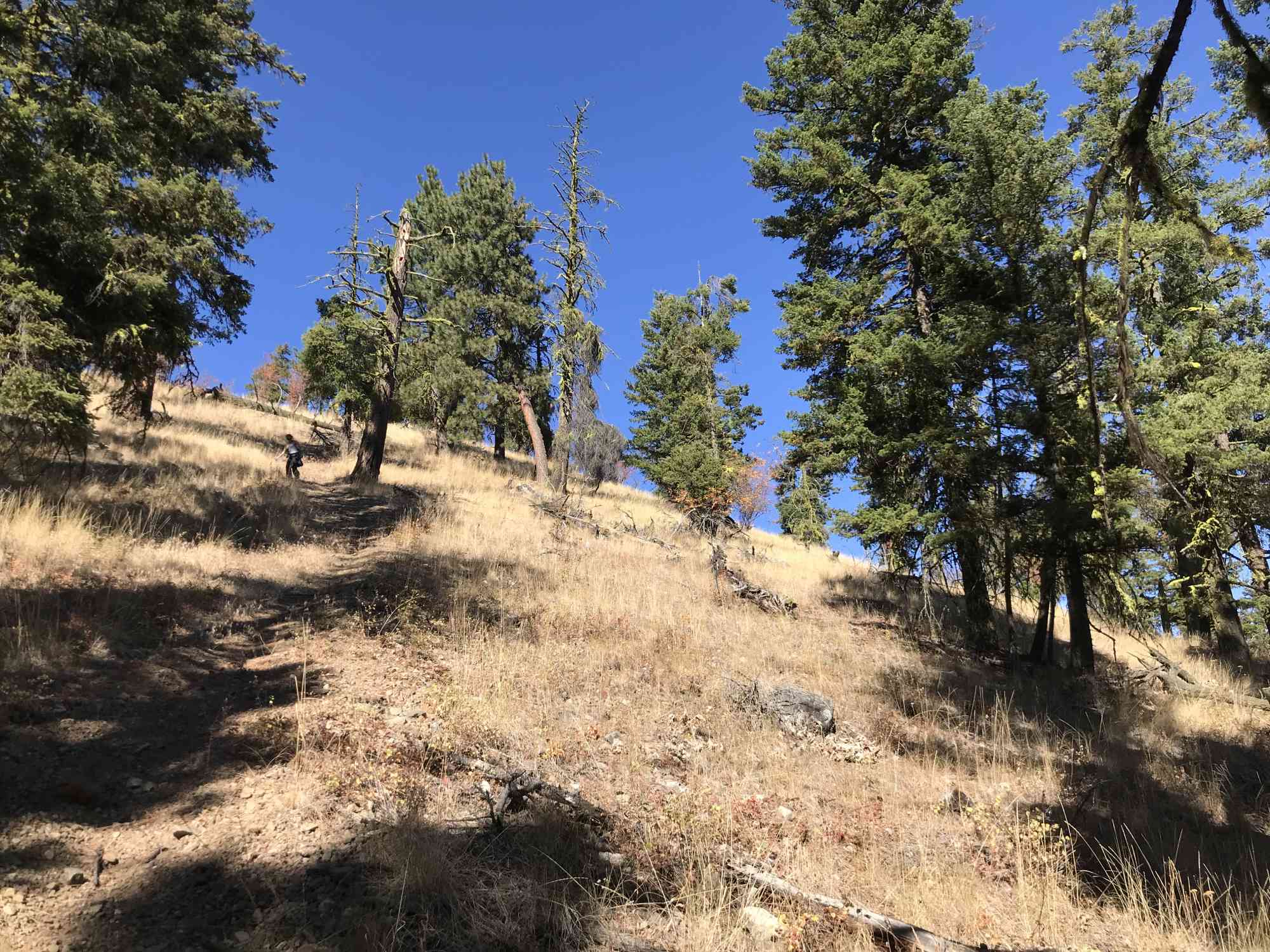
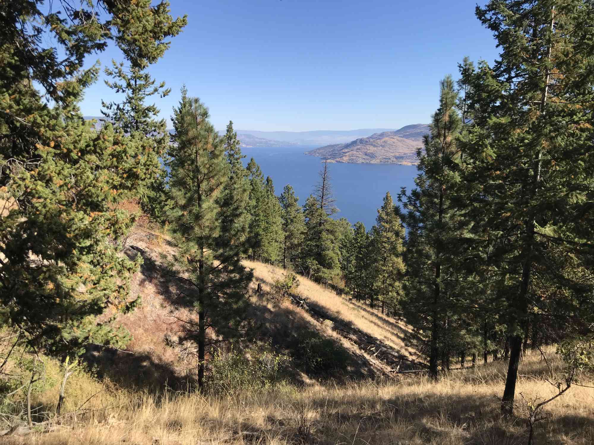
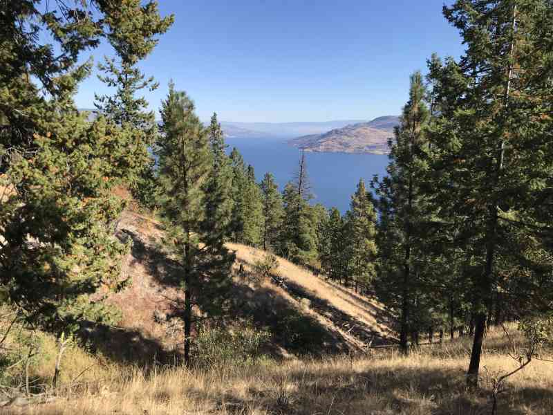
This incredibly scenic mountain ridge-line walk takes hikers on an arduous ascent where way-finding skills are an absolute necessity. This seldom hiked range is best done with our GPS file due to the sheer number of forks. Additionally, as there are no trail flags, the overgrown trail can be hard to follow at times. The views of Garnet and Okanagan Lake make this trek well worth the struggle. Viewpoints are not visible at the summit of Mt. Eneas, so hikers are reminded that this trail is best enjoyed for the journey instead of the reward at the 1100 m summit.
A few kilometres (3.3 km) in, pass by Fur Brigade Trail viewpoint, en route to the summit at 9.4 km. From here, begin the gradual descent on the south side of the mountain. Reach grassy grazing land for cattle, and meander continually southward until reconnecting with the "Seasonal Route" signage and follow the path down to Wildhorse Mountain Guest Ranch B&B on Wildhorse Rd. This is just off of Garnet Valley Rd which leads into downtown Summerland. We recommend parking here to avoid the 7 km walk along Garnet Valley Rd into Summerland, and returning to the trailhead via the highway.
Begin the trail just past Hardy Falls by following the road through the "No Through Rd" sign, keeping an eye out for a little white 'Seasonal Route' sign hammered to a tree on the left. This is right before BC Orchards where the road ends.

Route
Kids & Pets
Features
Address
Driving Time
From Downtown Kelowna, approximate travel time by car is 30 min.
Notable GPS Co-ordinates
Detailed Directions
1) From downtown Kelowna head towards Penticton across the bridge.
2) Turn RIGHT just past Peachland onto Hardy St as if going to Hardy Falls.
3) Continue as the road arcs left and turns into gravel stating "No Through Road"
4) The road becomes "Thorne Rd" and then "Meadow Valley Rd"
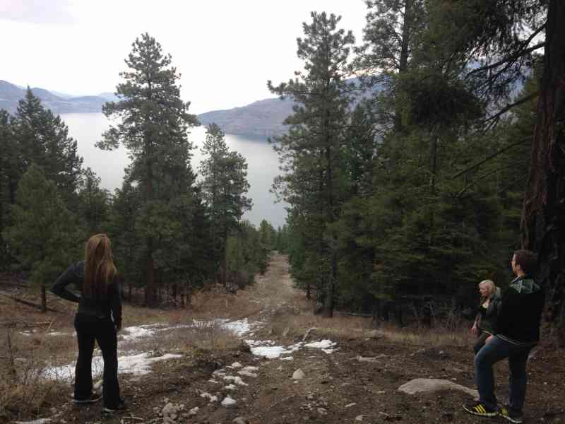
5) Park just before BC Orchards at the top of the hill at the major 4x4ing track heading to the left. Notice a sign mentioning "Seasonal Route." This is Garnet Lake Rd. Hike up this route along the ridgeline of the mountain, keeping left-ish at most major forks. The beginning of the trail has a track that parallels it just a few meters to the left.
Google Directions
Duration Calculator
The metrics for this trail have been converted to round-trip formation for distance and elevation gain/descent if necessary.
We have a downloadable GPS map for this trail!
Last Updated on Sunday, January 26, 2025
Need help using it? See our FAQ.
Leave a comment
You must Login to post a comment!