
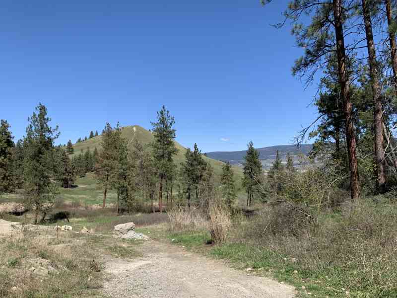
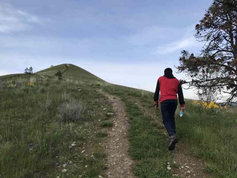
Mt. Baldy
Mt. Baldy
Dilworth
12 min from Downtown Kelowna
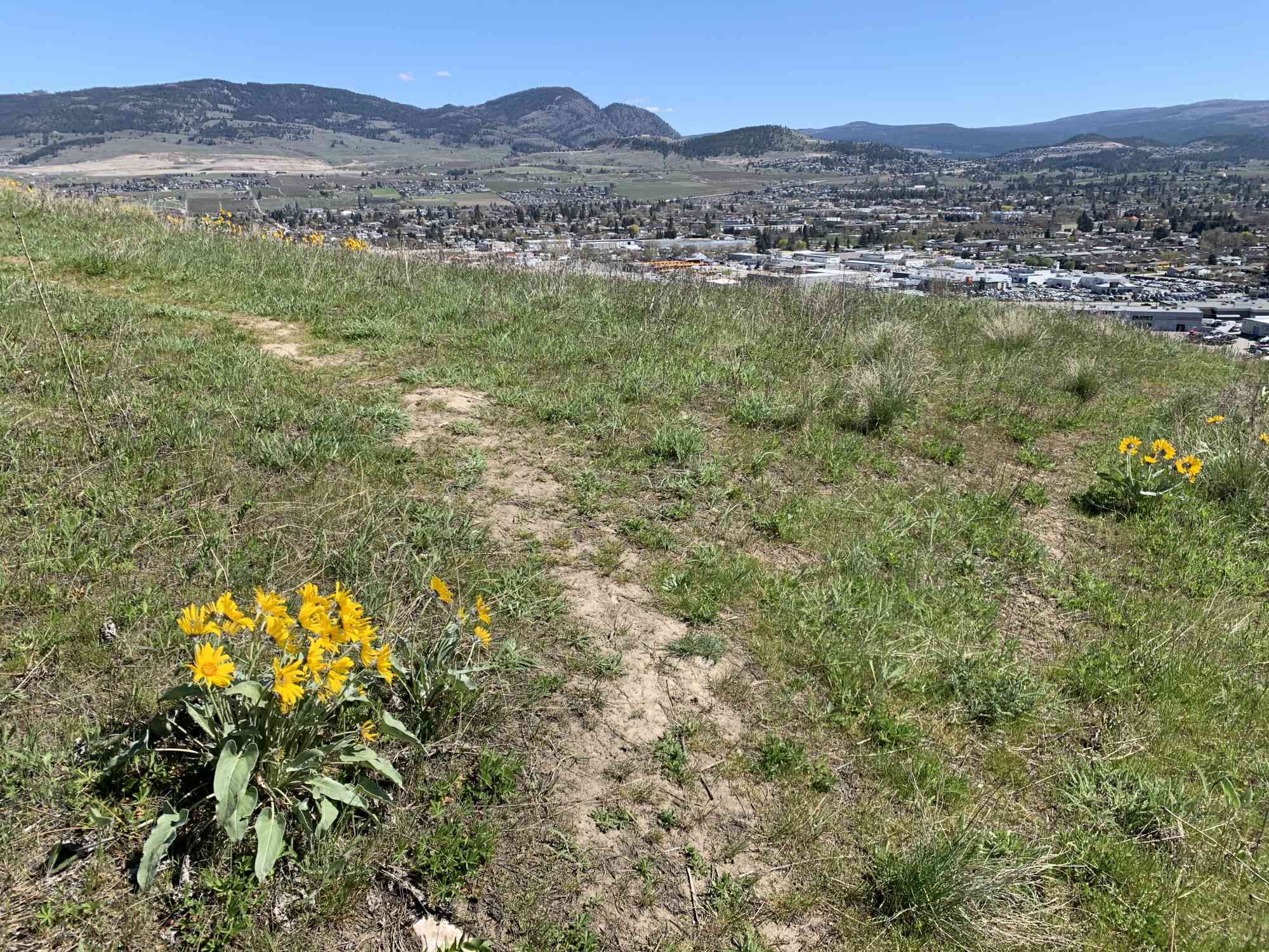
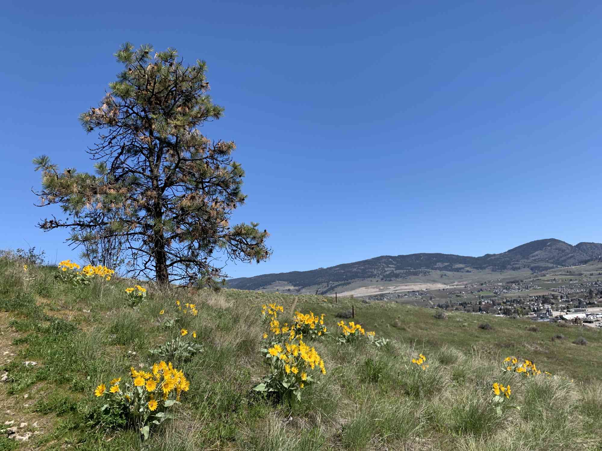
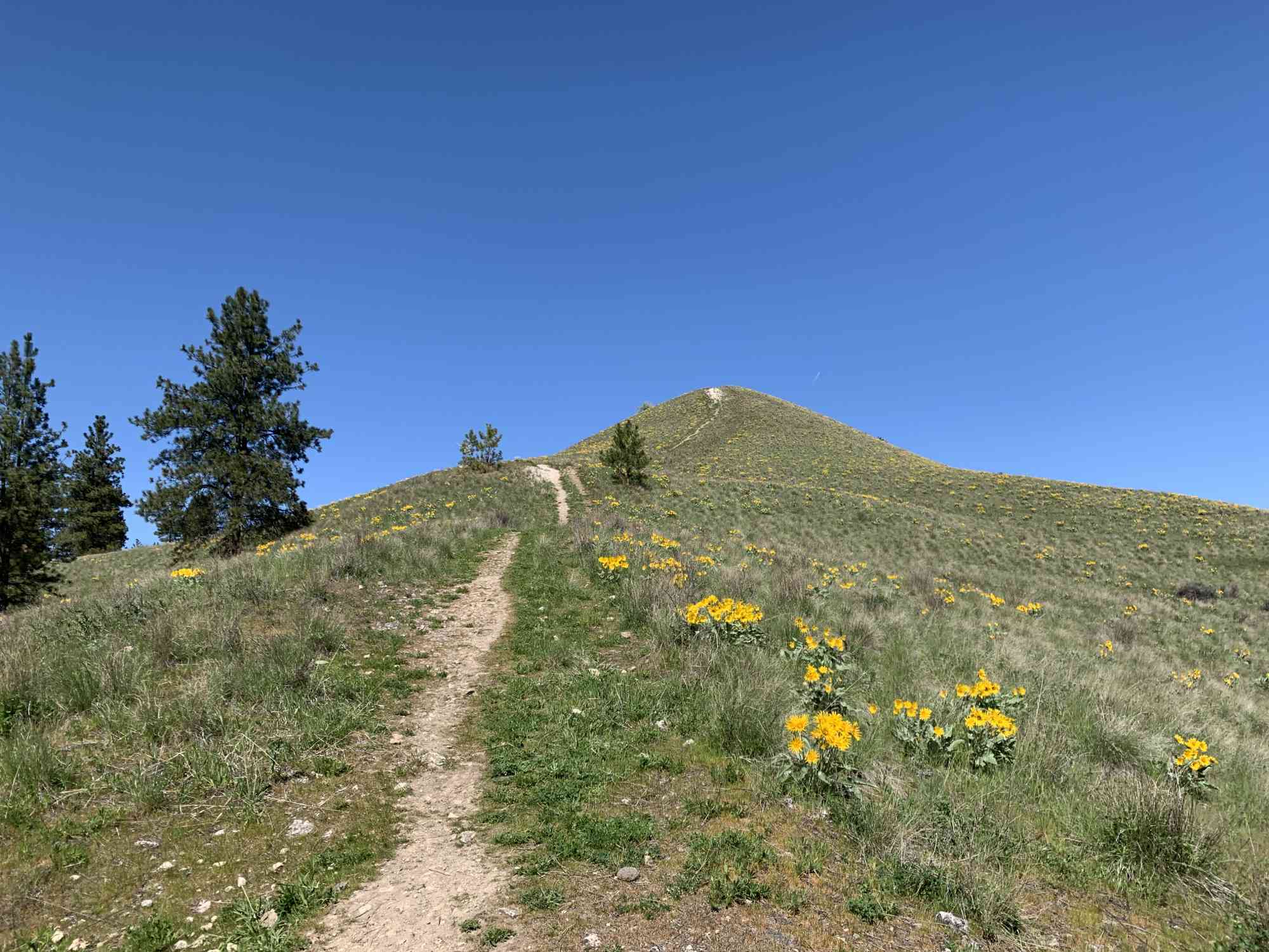
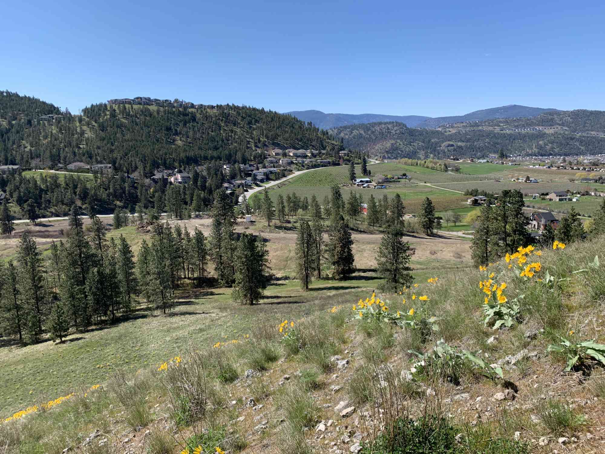
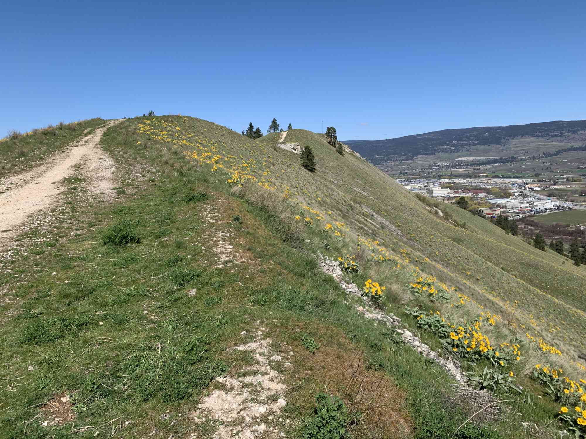
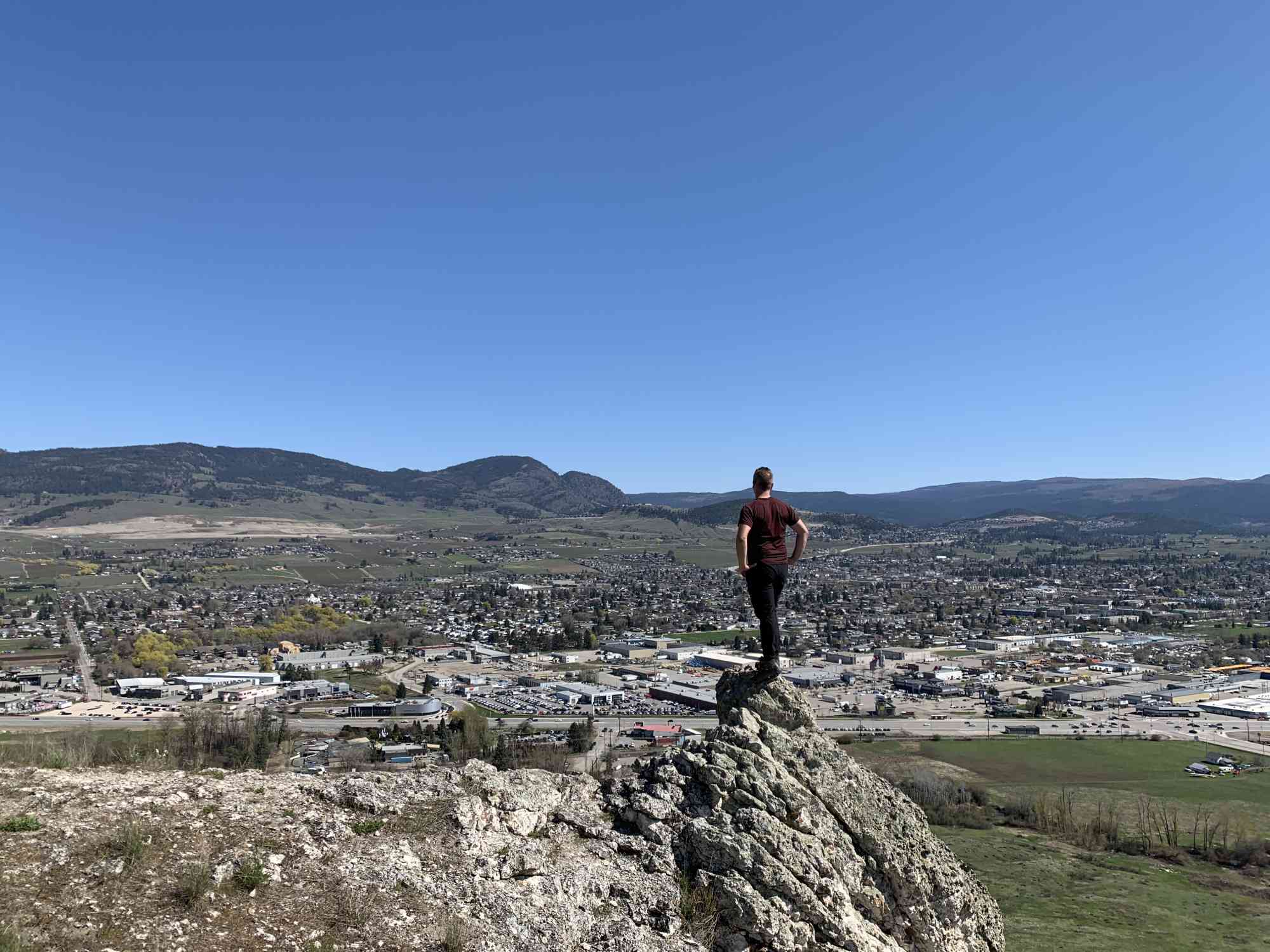
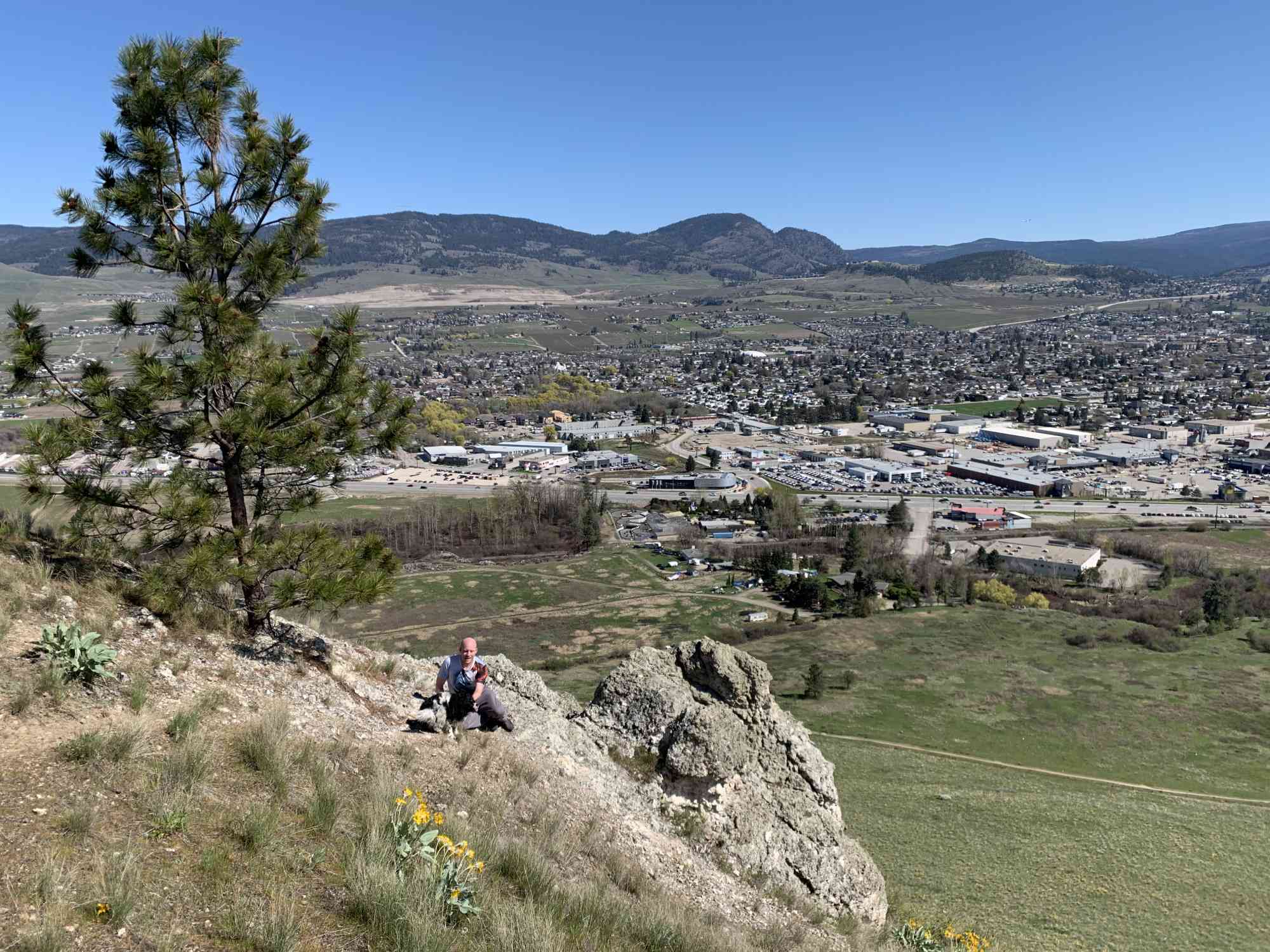
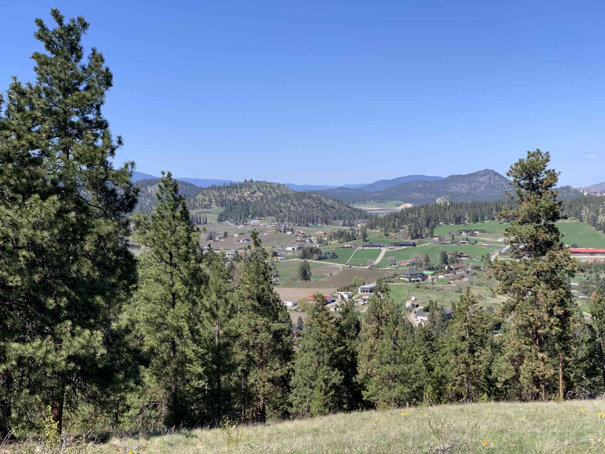
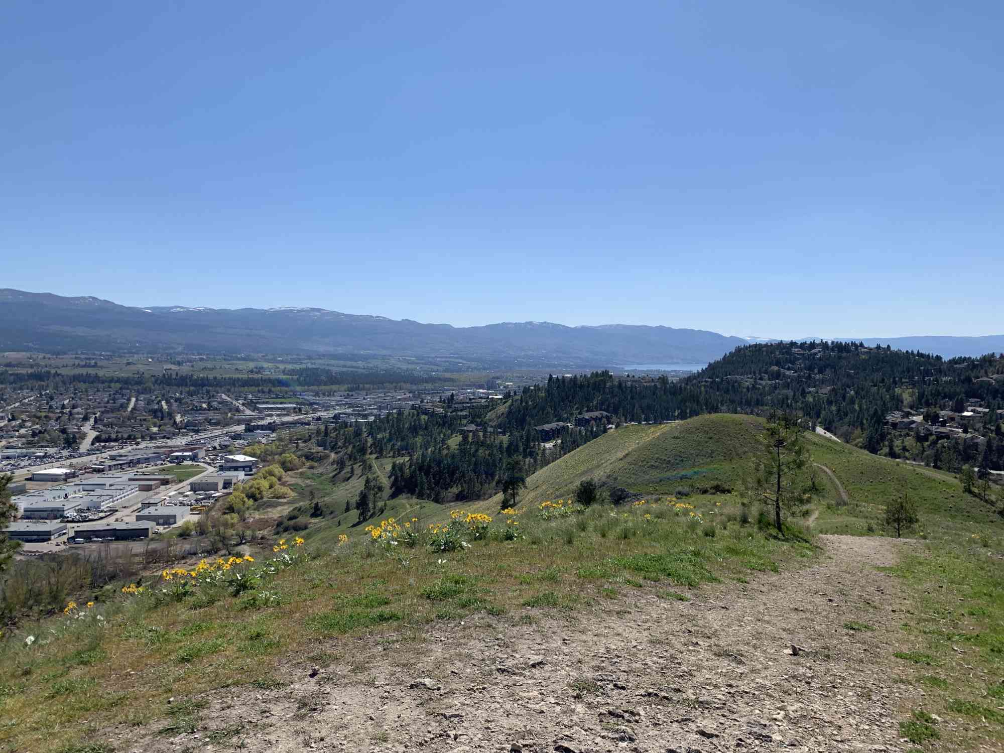
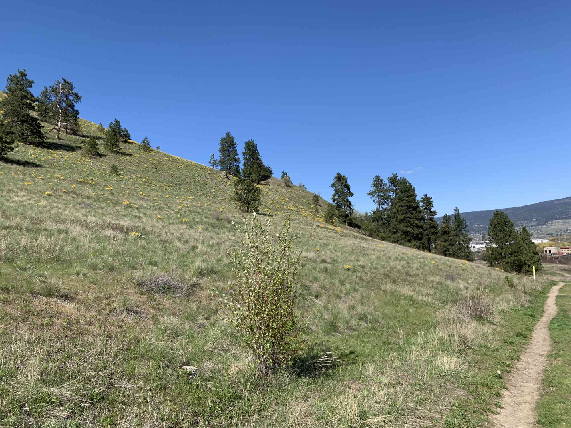
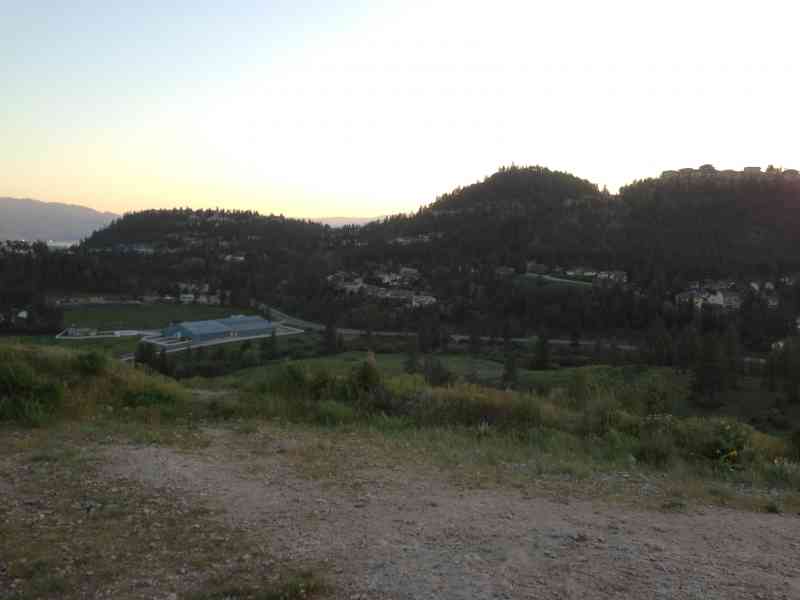
2436 Mt Baldy Dr, Kelowna, BC V1V 1J8The 127 acre property on which Mount Baldy currently sits is privately owned. Based on the BC land title registry it is owned by Emil Anderson Construction, which own Dilworth Quality homes, the company that has developed the Dilworth Mountain development over the past 30 years. Based on the City of Kelowna's official community plan, the back side of Mount Baldy (yellow area below) is slated for residential development. However, the majority of the hill is set aside for park/open space. It offers beautiful views of both the eastern side of Dilworth Mountain overlooking orchards, as well as a unique birds-eye view of the Grand 10/Scandia/Highway 97 area.
Hikers should always request permission before accessing trails on private property. Often landowners permit hiking, but no camping or motorized vehicles.
Hikers should always request permission before accessing trails on private property. Often landowners permit hiking, but no camping or motorized vehicles.
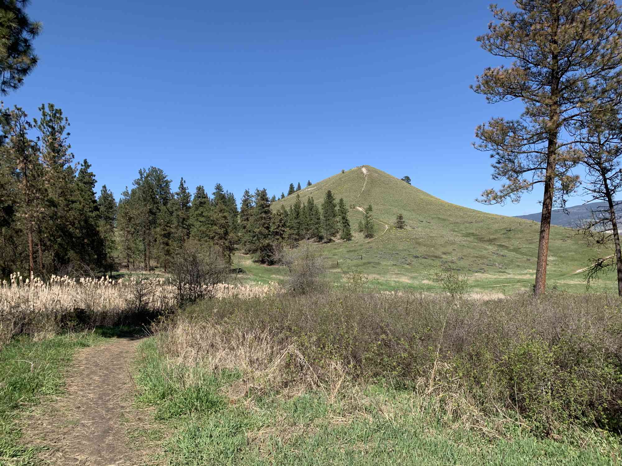
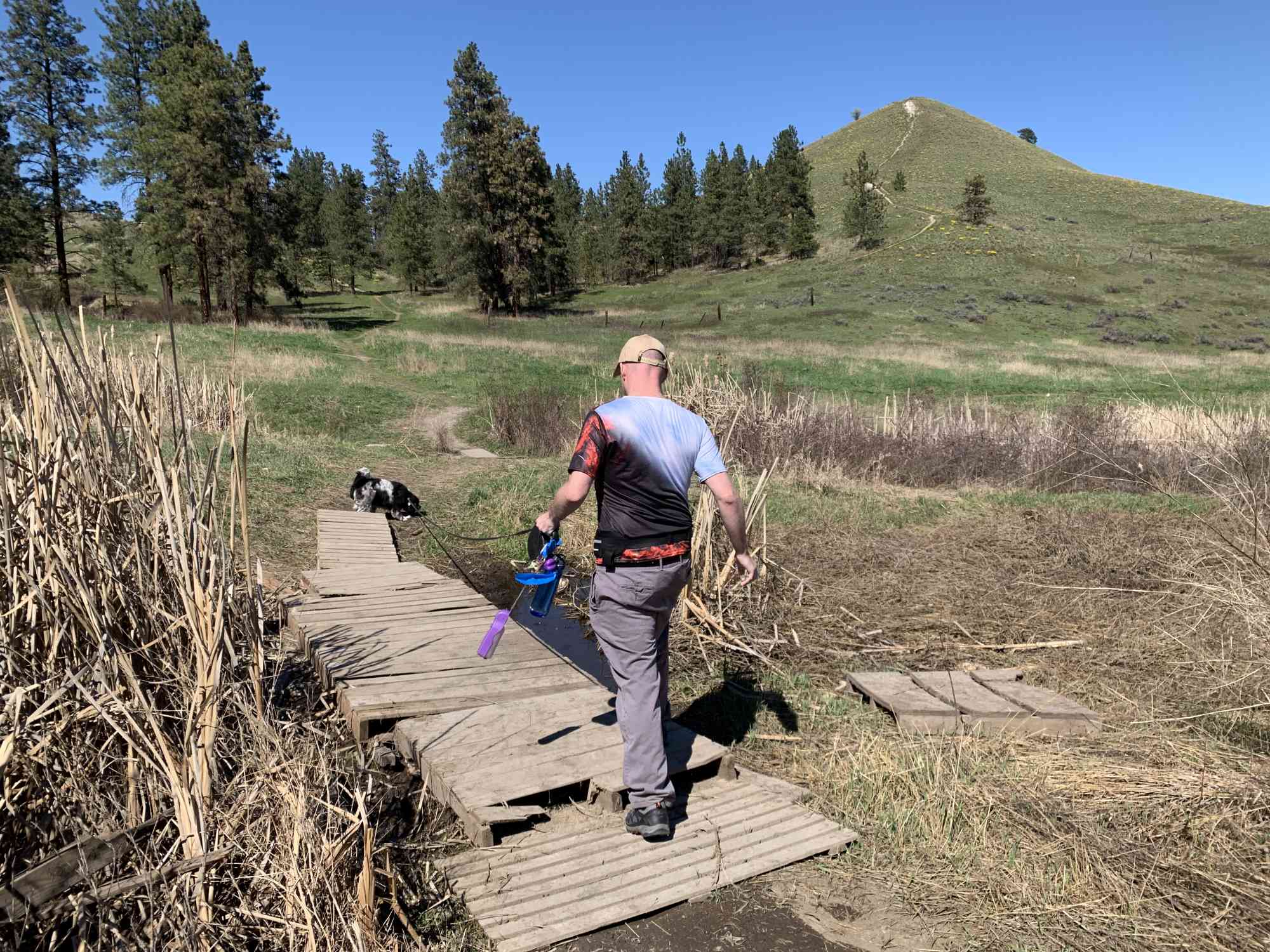
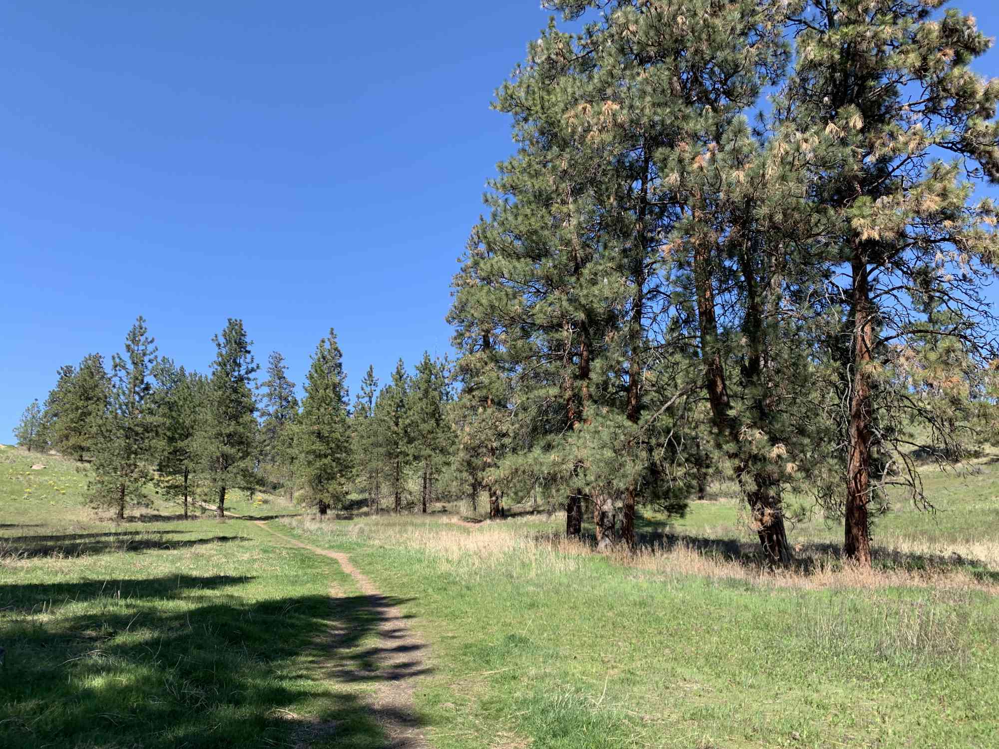
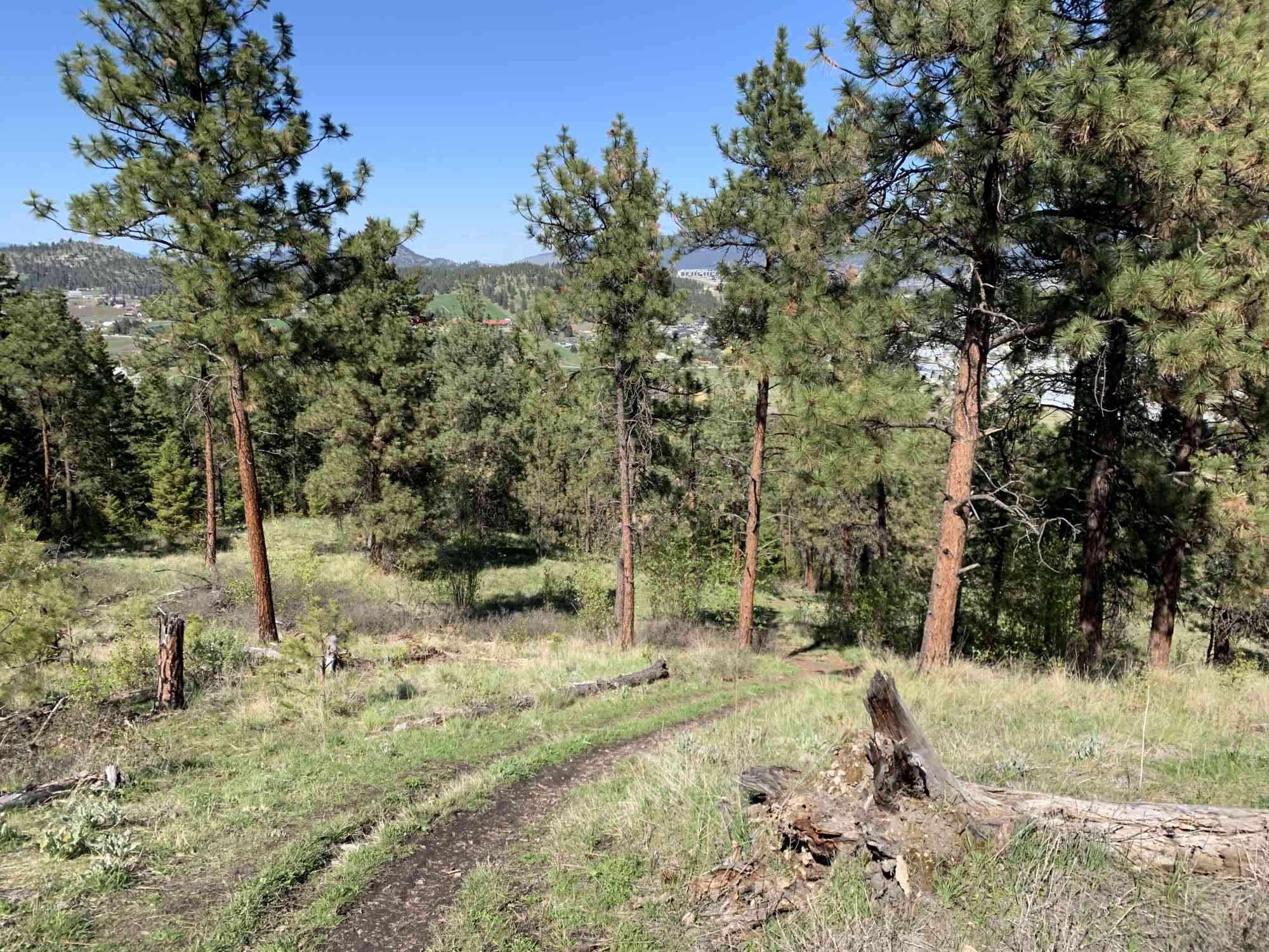
Route
Kids & Pets
Address
Driving Time
From Downtown Kelowna, approximate travel time by car is 12 min.
Notable GPS Co-ordinates
Detailed Directions
2. Turn LEFT on Dilworth Drive
3. Turn RIGHT onto Mt Baldy Dr just as Dilworth Drive becomes Rifle Rd. Follow to the end and park.
Google Directions
Use our written directions in preference to the Google directions below as they are likely more accurate.
We have a downloadable GPS map for this trail!
Last Updated on Thursday, March 23, 2023
Need help using it? See our FAQ.GPS Notes
Leave a comment
You must Login to post a comment!