
Mount Nkwala: Summit Loop
Mount Nkwala: Summit Loop
West Bench
13 min from Downtown Penticton
3808 Forsyth Dr, Penticton, BC V2A 8Z2** Important: This park resides on Penticton Indian Band land. However, hikers are allowed to enjoy this mountain regardless of their race. Paper permits are mandatory and can be obtained from the Penticton Indian Band admin office free of charge at 841 Westhills Dr, RR#2, S80, C#19, Penticton, BC. **
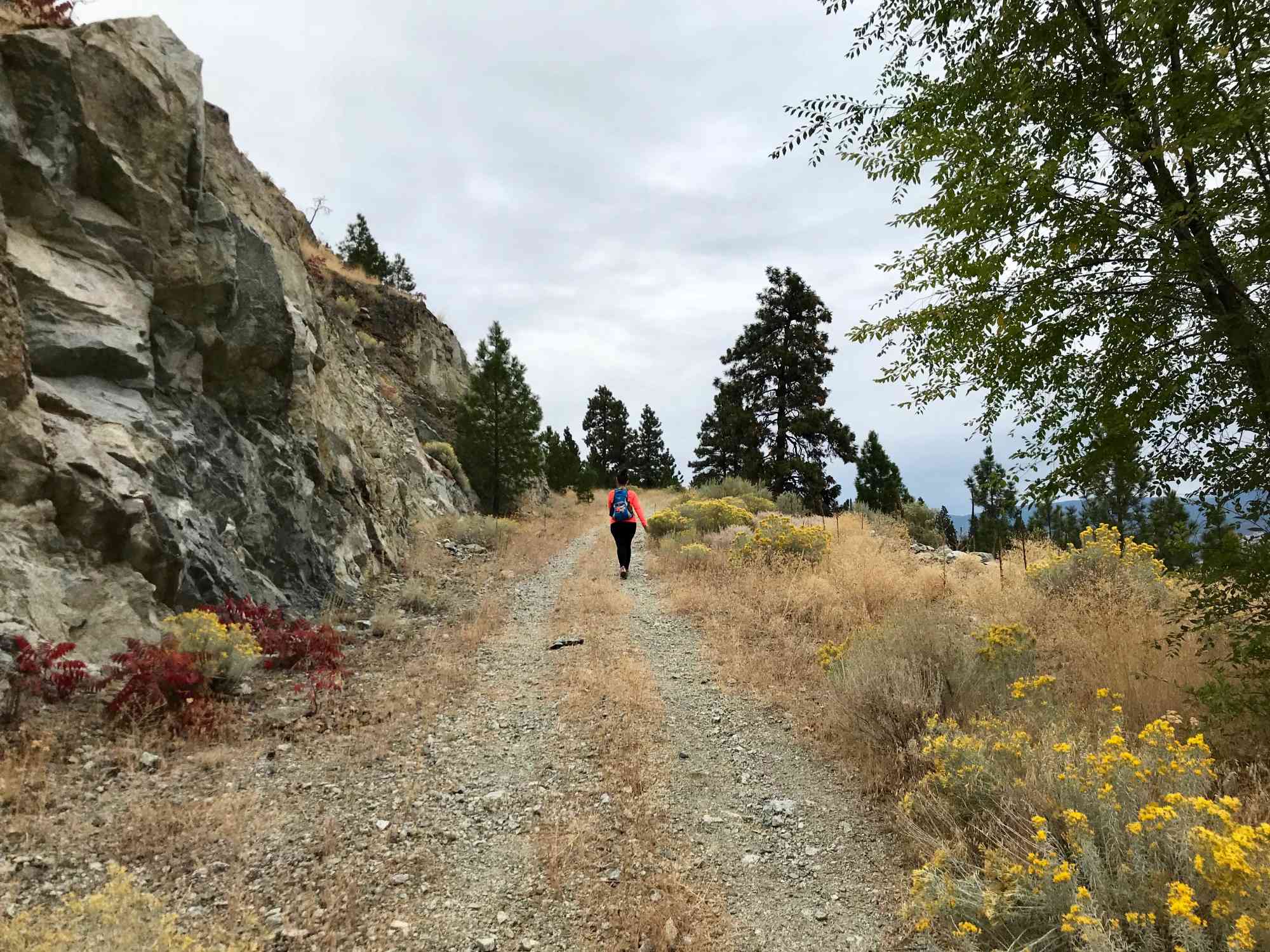
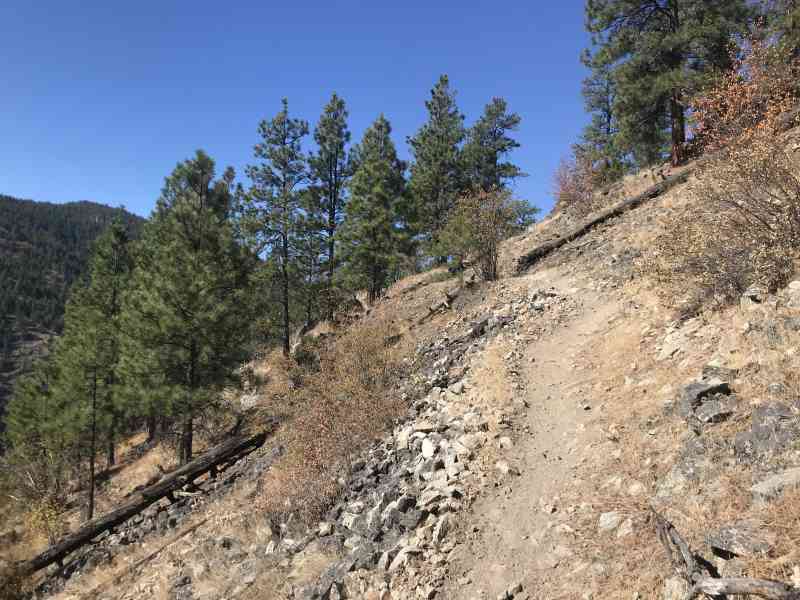
Mt. Nkwala is a mountain that keeps hikers happy for years! Its vast array of mountain bike trails coupled with countless viewpoints is a trail network dream come true. Previously known as "Gerry's Mountain" from the Dennis McDonald who named it after his wife Geraldine in 1949, this mountain was as a forest fire lookout until 1969! Becoming disorientated is incredibly easy on this mountain. We highly recommend bringing a GPS with our maps to ensure the summit is reached with ease.
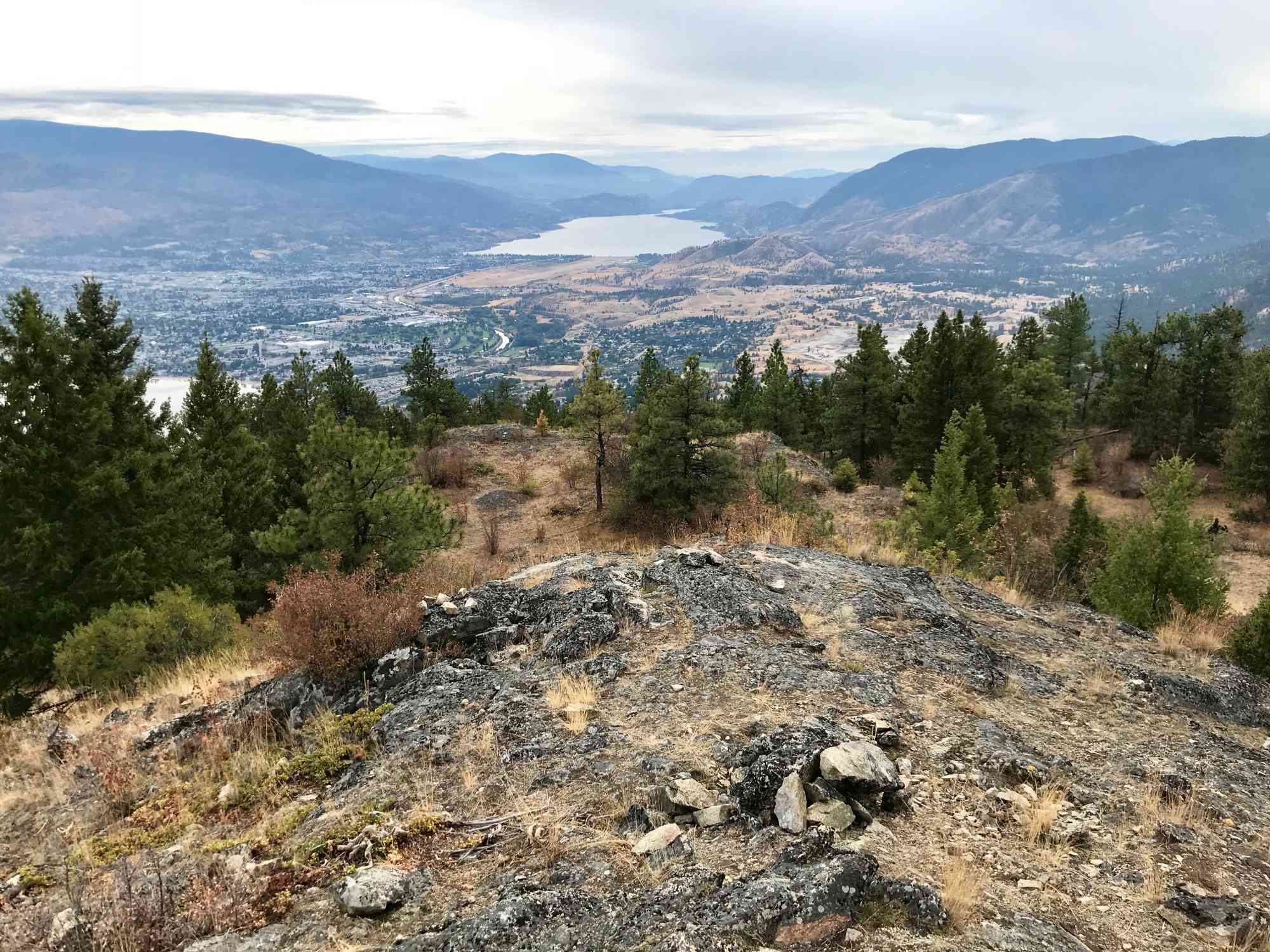
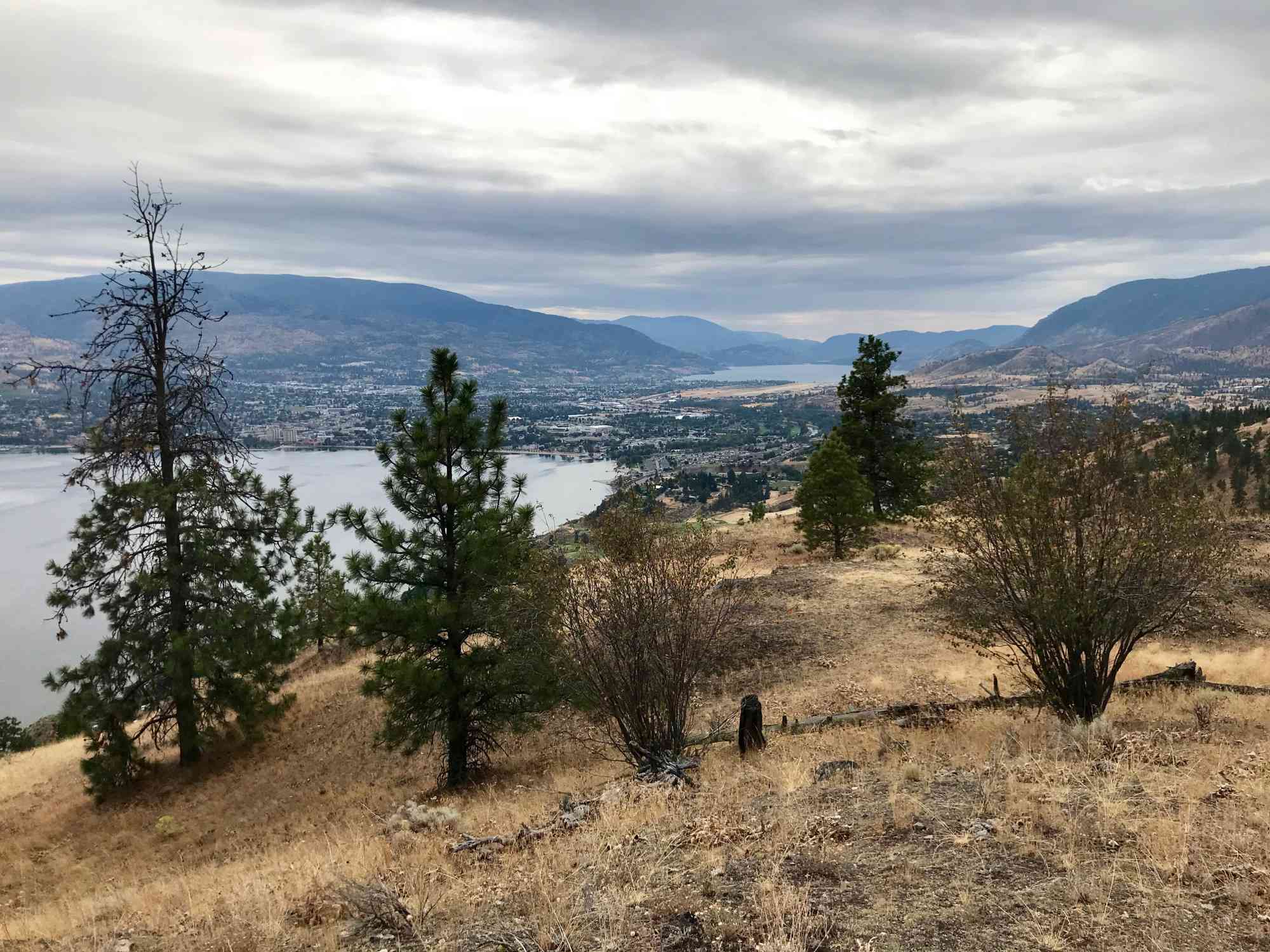
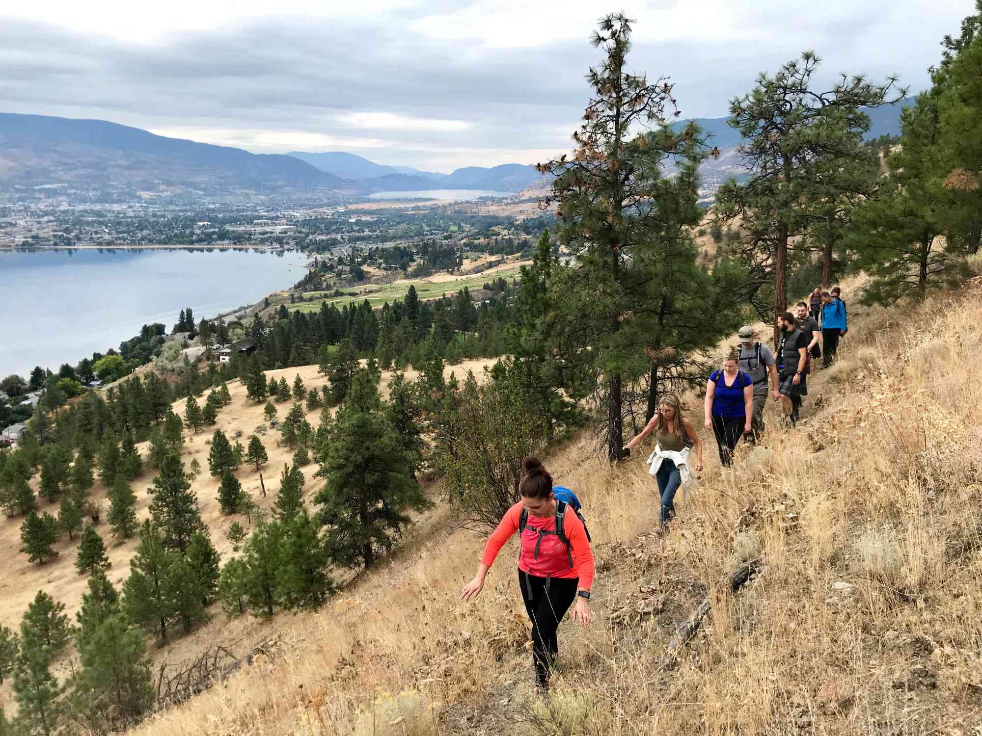
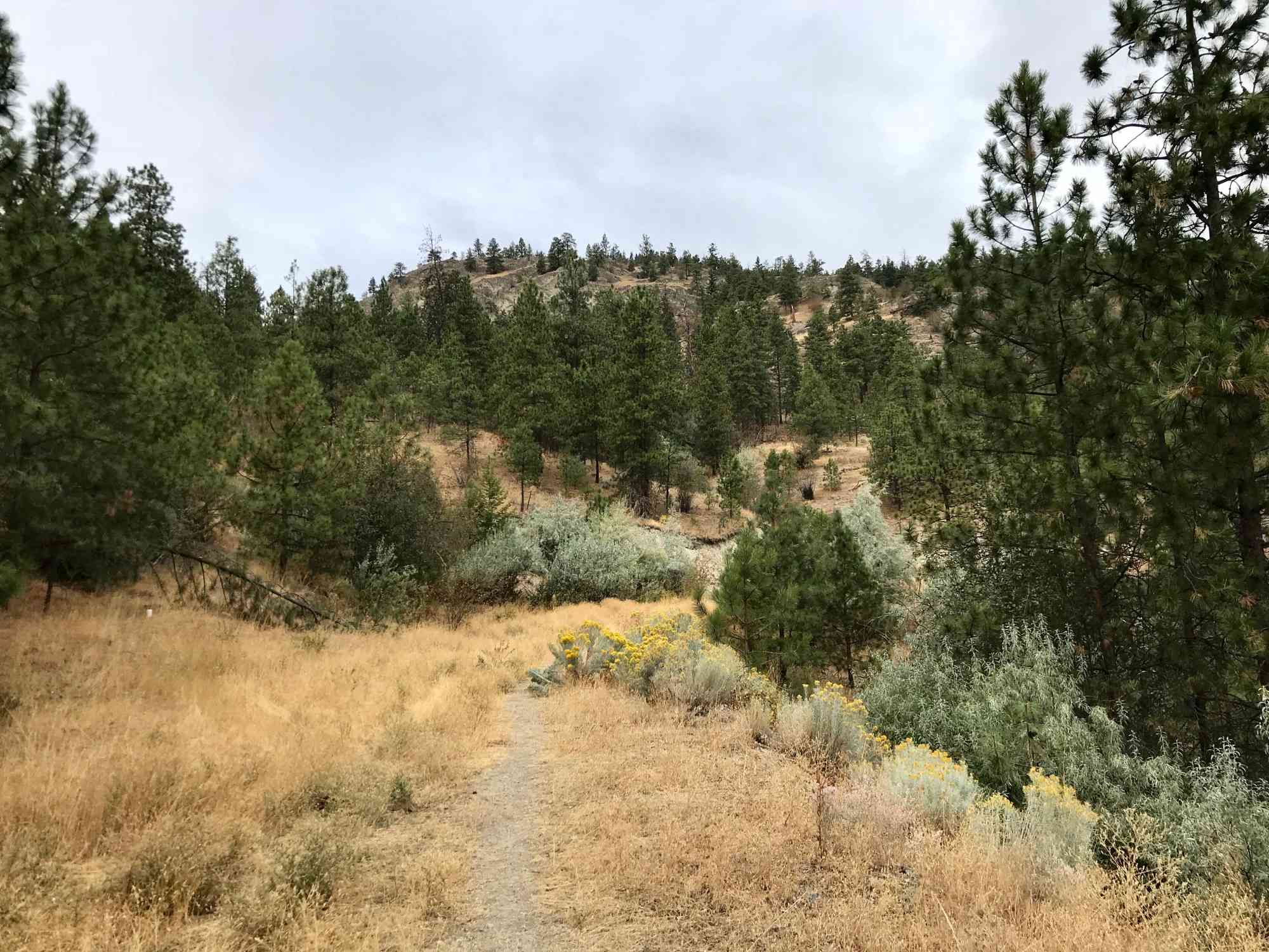
The trail offers numerous viewpoints of Penticton, Okanagan Lake and Skaha Lake. Bears are very prominent on this trail in the fall, and hikers are advised to bring bear spray as a precaution. Remember to make plenty of noise while hiking. This trail is noted with signs for non-motorized vehicle use only by the Penticton Indian Band. No maps or trail signs en-route. Pay attention to signs of trail usage instead.
Mt. Nkwala is a mountain that keeps hikers happy for years! Its vast array of mountain bike trails coupled with countless viewpoints is a trail network dream come true. Previously known as "Gerry's Mountain" from the Dennis McDonald who named it after his wife Geraldine in 1949, this mountain was as a forest fire lookout until 1969! Becoming disorientated is incredibly easy on this mountain. We highly recommend bringing a GPS with our maps to ensure the summit is reached with ease.
The trail offers numerous viewpoints of Penticton, Okanagan Lake and Skaha Lake. Bears are very prominent on this trail in the fall, and hikers are advised to bring bear spray as a precaution. Remember to make plenty of noise while hiking. This trail is noted with signs for non-motorized vehicle use only by the Penticton Indian Band. No maps or trail signs en-route. Pay attention to signs of trail usage instead.


Route
Kids & Pets
Features
Address
Driving Time
From Downtown Penticton, approximate travel time by car is 13 min.
Notable GPS Co-ordinates
Detailed Directions
2. Turn RIGHT onto Bartlett Dr (left is Russet Dr)
3. Turn RIGHT onto W Bench Dr.
4. Immediately turn LEFT onto Bartlett Dr (yes, again).
5. After 1.4 km, turn RIGHT onto Forsyth Dr.
6. After 2.2 km, park at trailhead being mindful of access to driveways and any no parking signs. Obtain permission from the band before entering the park!
Google Directions

Duration Calculator
The metrics for this trail have been converted to round-trip formation for distance and elevation gain/descent if necessary.
Estimated Time:
-- hours
We have a downloadable GPS map for this trail!
Last Updated on Sunday, January 26, 2025
Need help using it? See our FAQ.Map Waypoints
GPS Notes
Leave a comment
You must Login to post a comment!