
Mount Conkle: Perimeter Loop
Mount Conkle: Perimeter Loop
Summerland
45 min from Downtown Kelowna
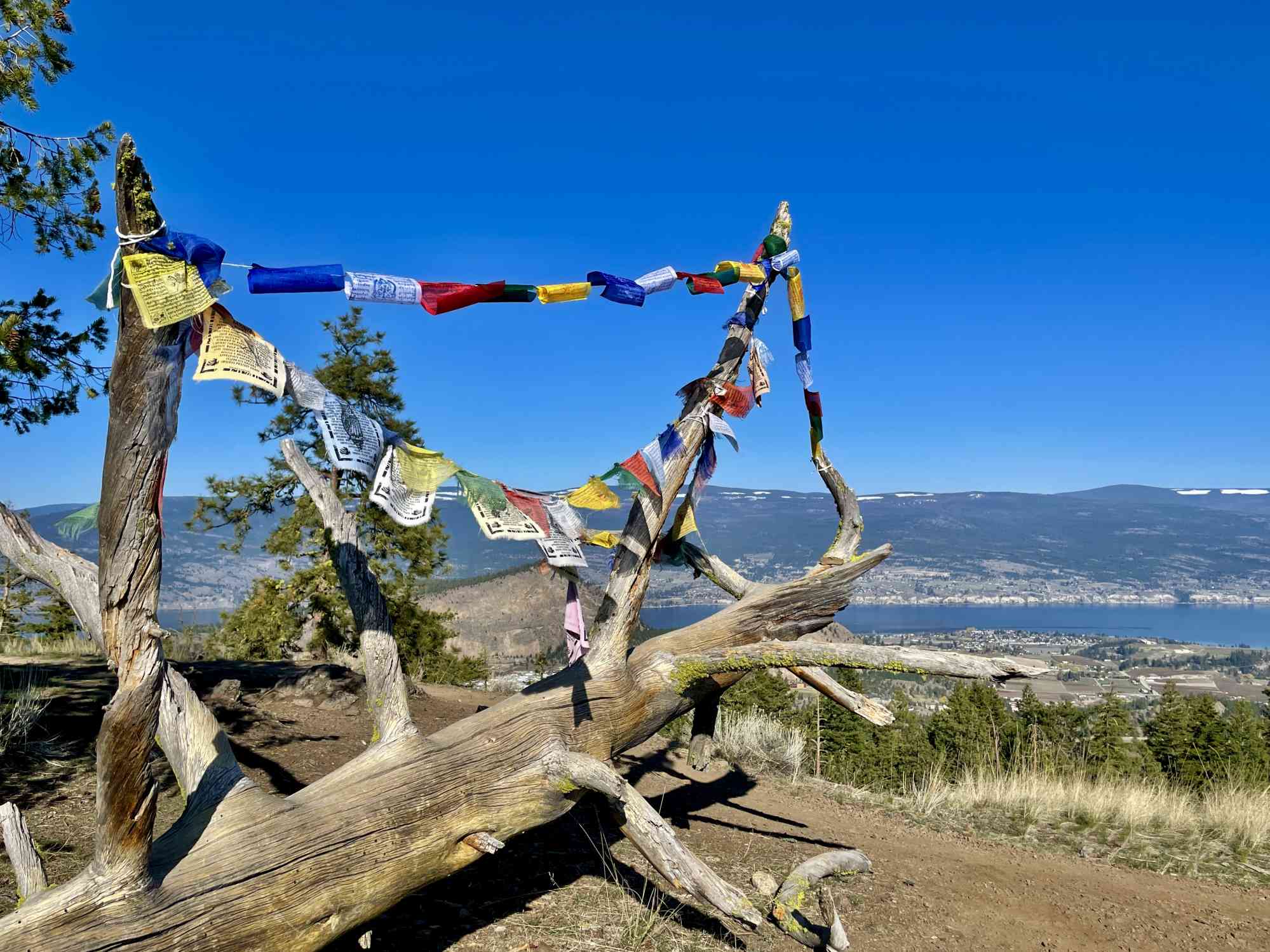
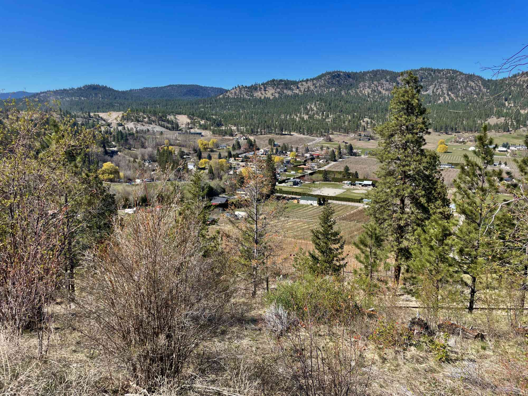
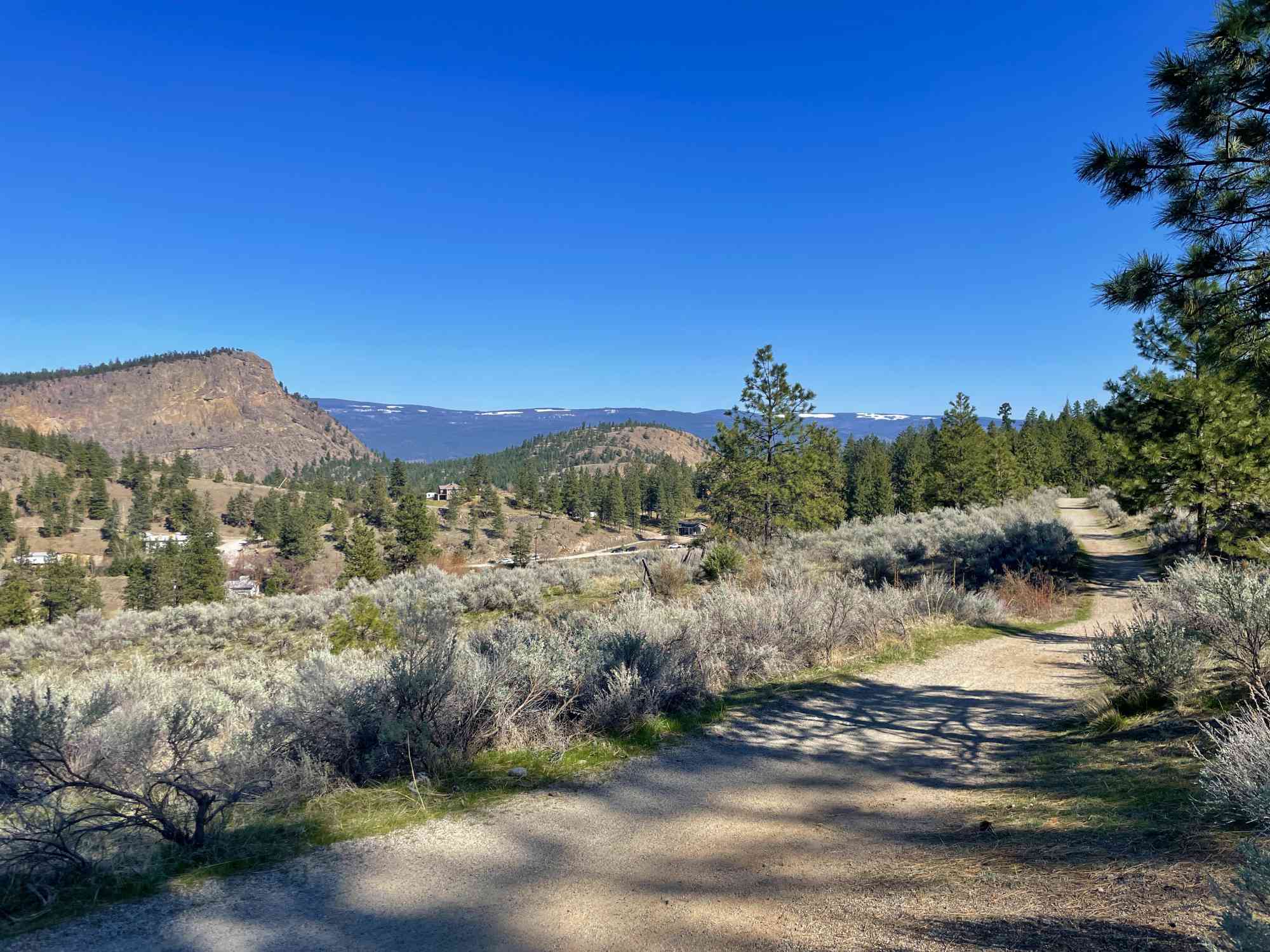
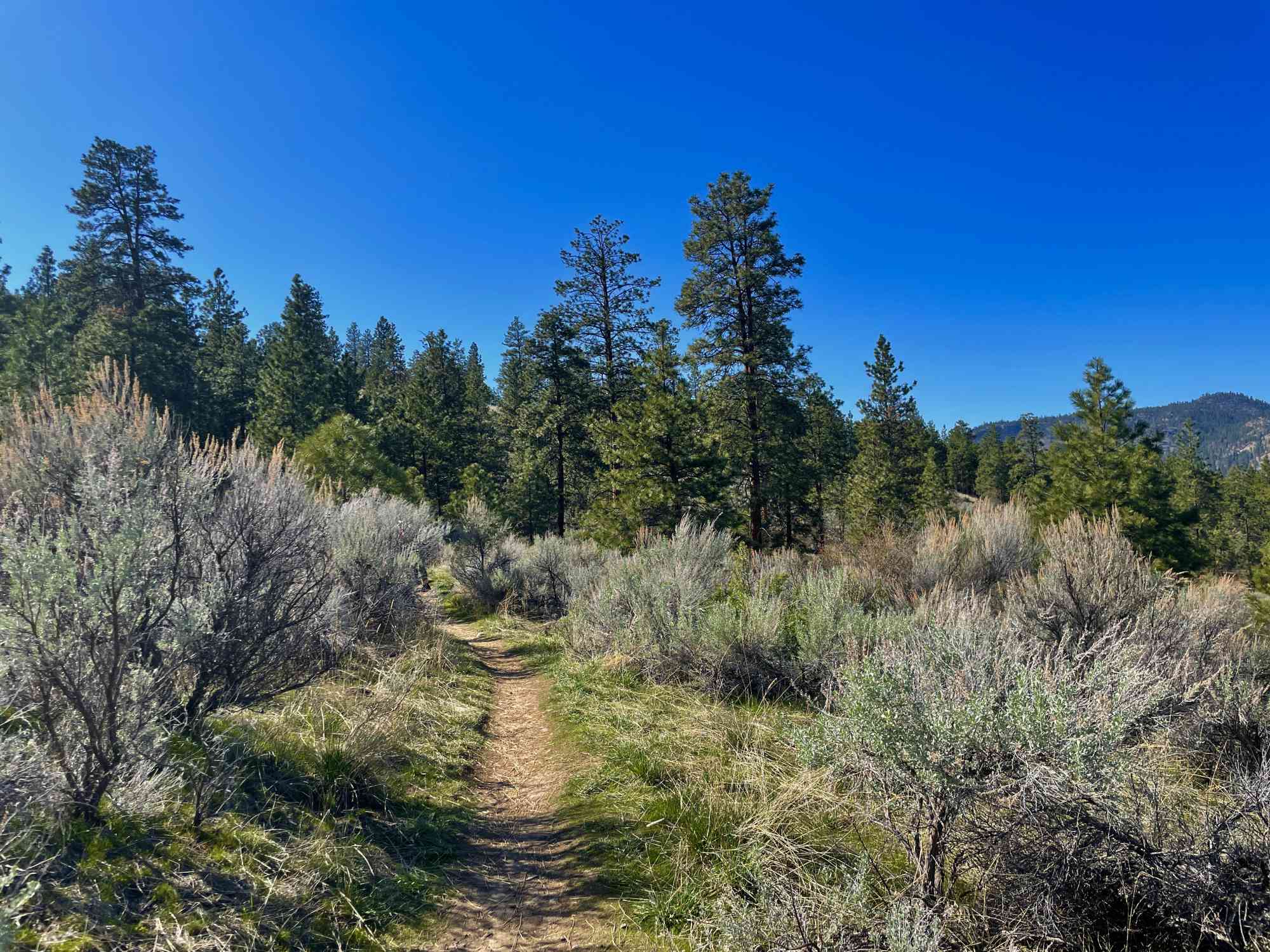
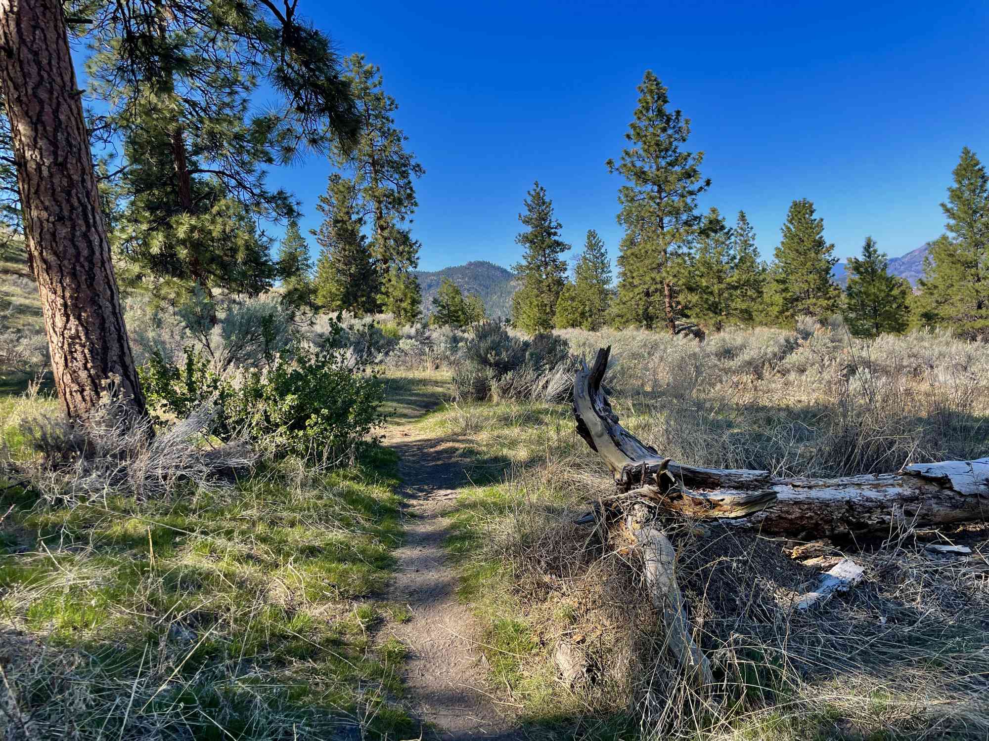
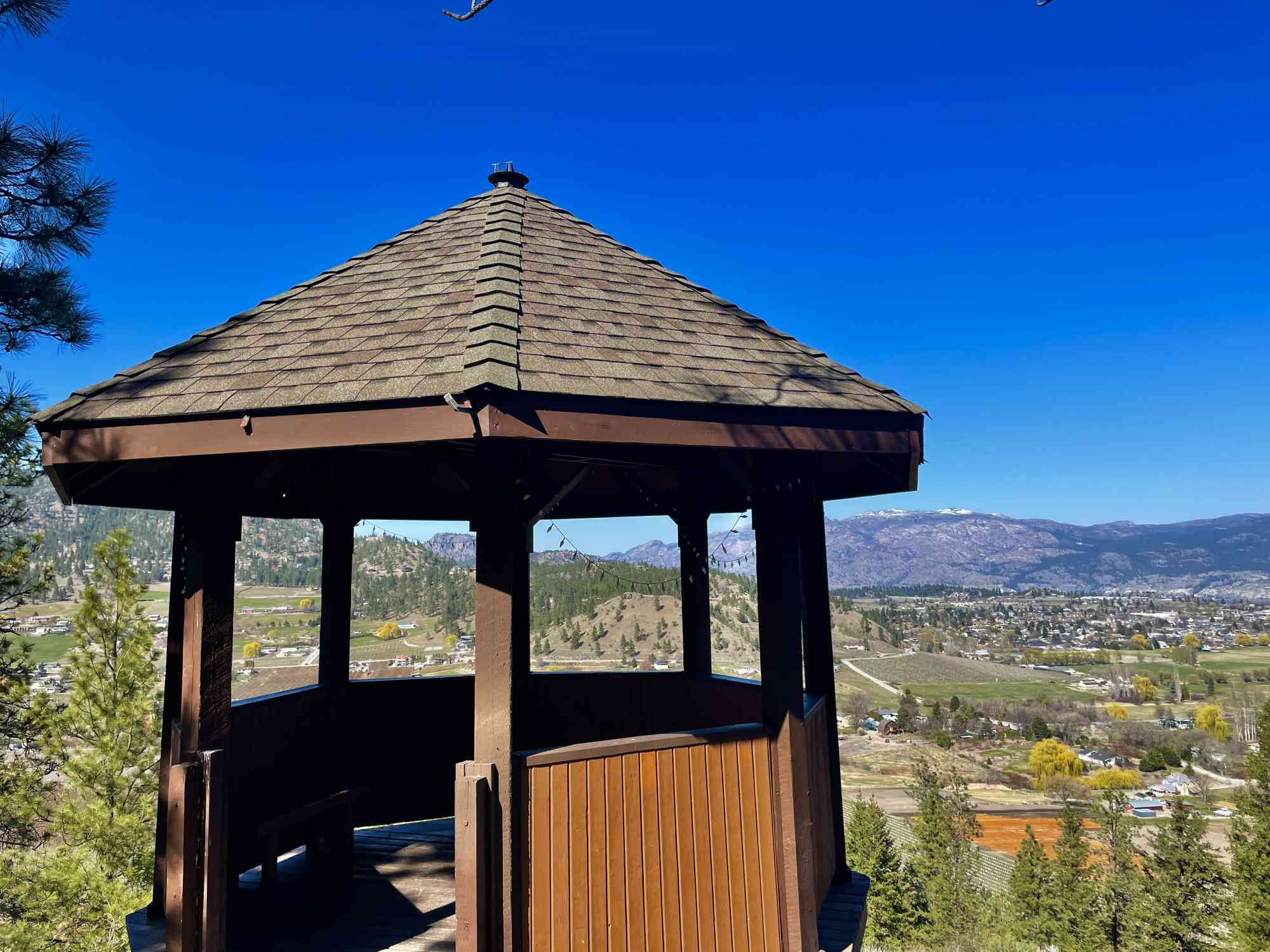
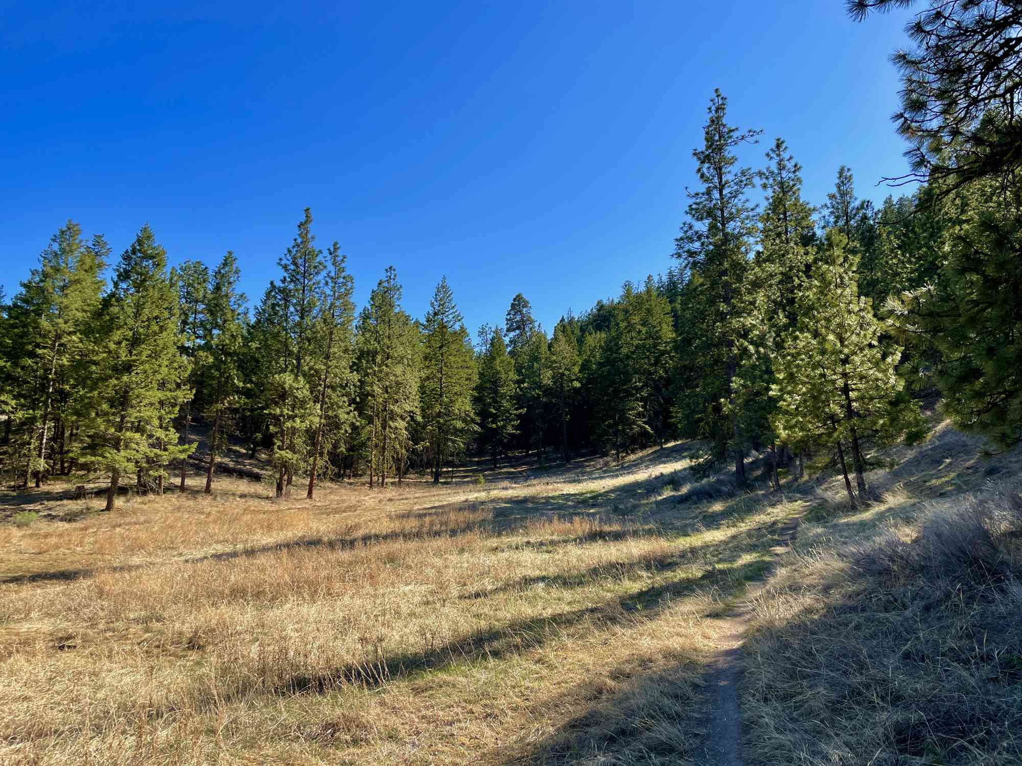
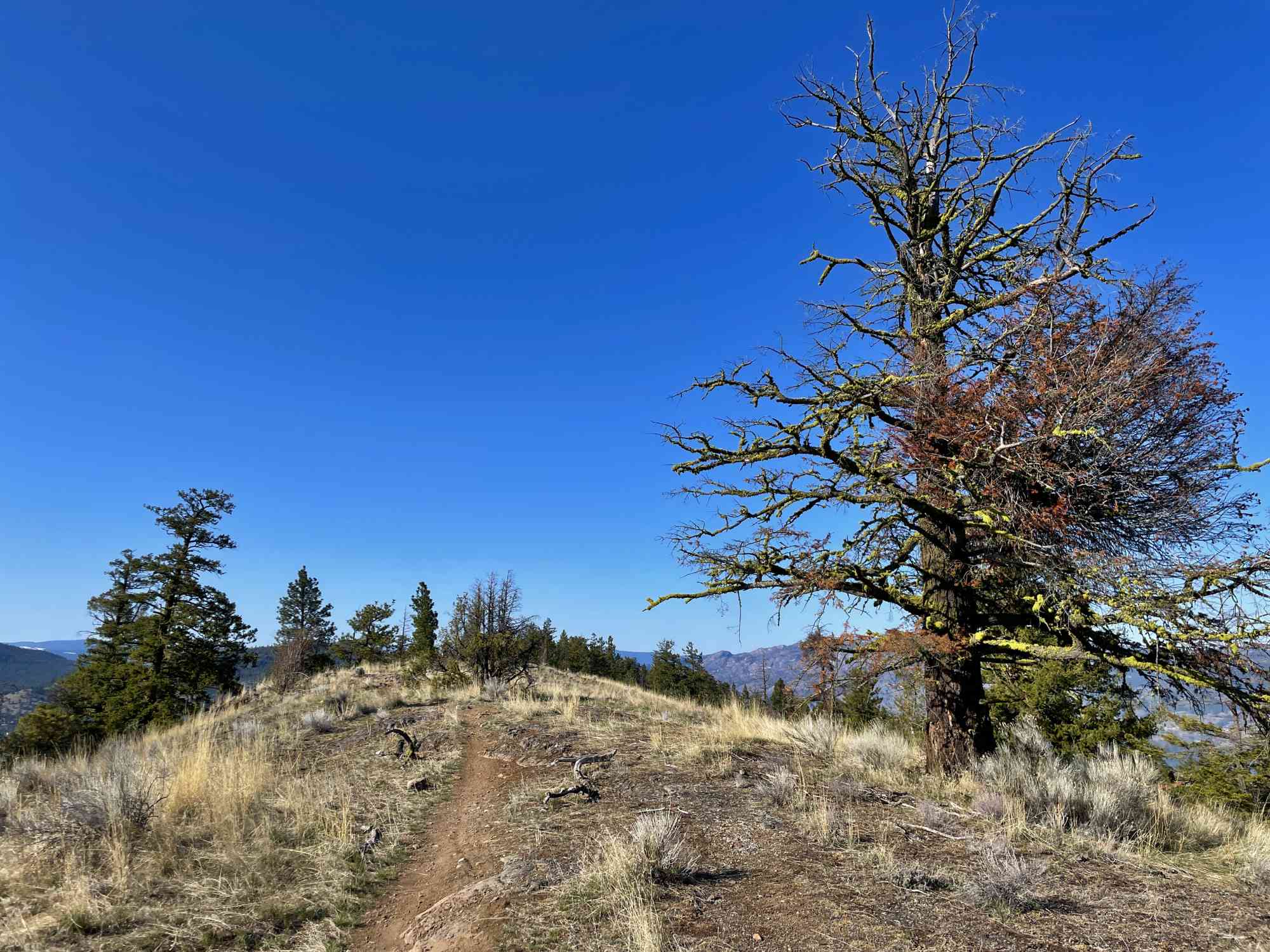
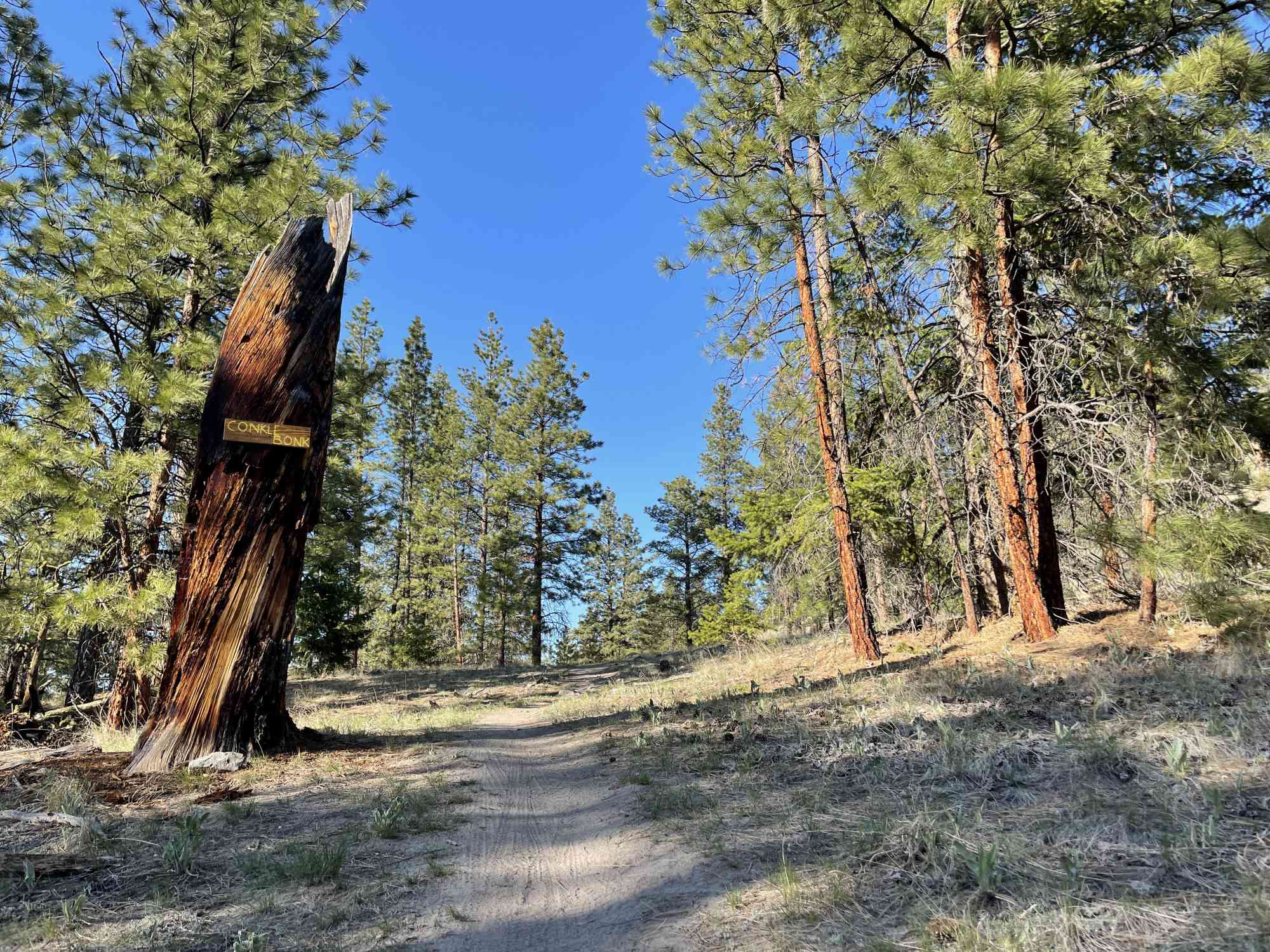
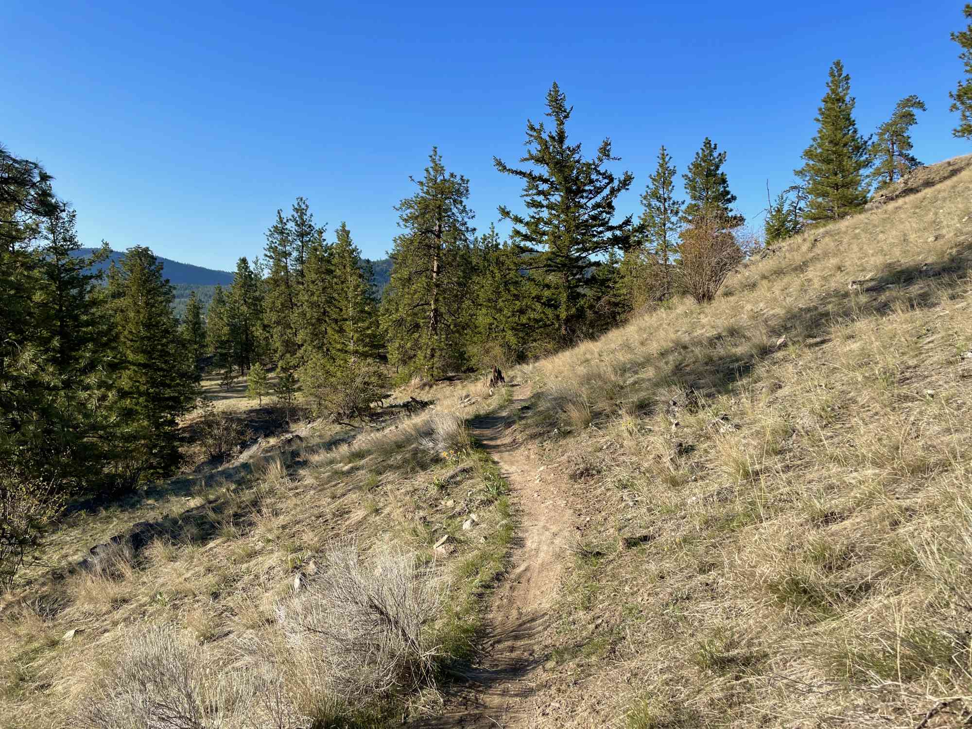
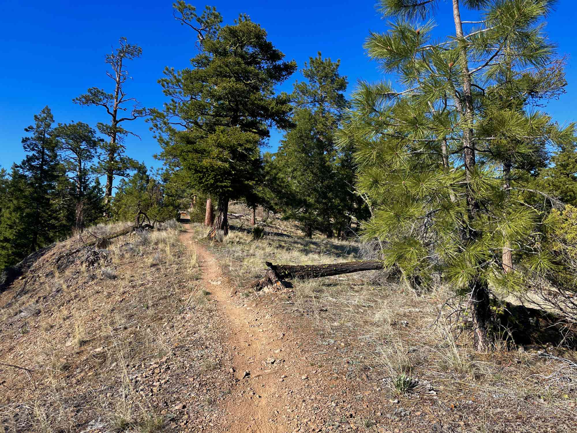
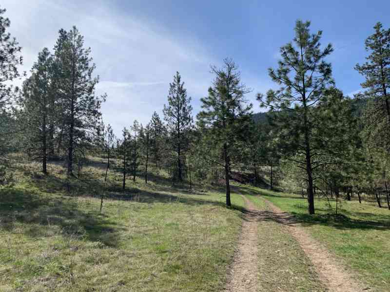
18707 Bathfield Rd, Summerland, BC V0H 1Z8Meander this comprehensive network of cycling/hiking trails in this recently dedicated park just outside of the Summerland Rodeo Grounds for spectacular views of Giant's Head, Okanagan Lake, and the city of Summerland spread across the valley. The trail varies between double and single wide. Hikers should bring our GPS maps as there are tons of forks.


Route
Kids & Pets
Features
Address
Driving Time
From Downtown Kelowna, approximate travel time by car is 45 min.
Notable GPS Co-ordinates
Detailed Directions
2. Keep straight at the first round-about
3. Keep straight at the second roundabout to stay on Prarie Valley Road
4. At the third round-about take the second exit to stay on Prarie Valley Rd
5. Turn RIGHT onto Doherty Ave
6. Shortly afterwards, keep left onto Bathville Rd.
7. In a few hundred meters, keep left with signs for Railway Rodeo Trails.
8. Cross the railway tracks and park at the parking lot on the left in the Rodeo Grounds.
Google Directions
Use our written directions in preference to the Google directions below as they are likely more accurate.
We have a downloadable GPS map for this trail!
Last Updated on Thursday, March 23, 2023
Need help using it? See our FAQ.Map Waypoints
GPS Notes
Leave a comment
You must Login to post a comment!