
Monk Cave in Hedley
Monk Cave in Hedley
Hedley
Bushwhacking adventure to a hidden Monk abode deep in the forest.
Warning: As of our last research on June 29, 2023 the last 300 meters of the route resides on the Upper Similkameen (Chuchuwayha) band land. While apparently no signage indicating this was present, it is always good practice to ask for permission from the band prior to entry if you are not a band member. We have retained this article on our site for those who are part of the band and wish to visit, have permission, and/or for historical and research purposes only.
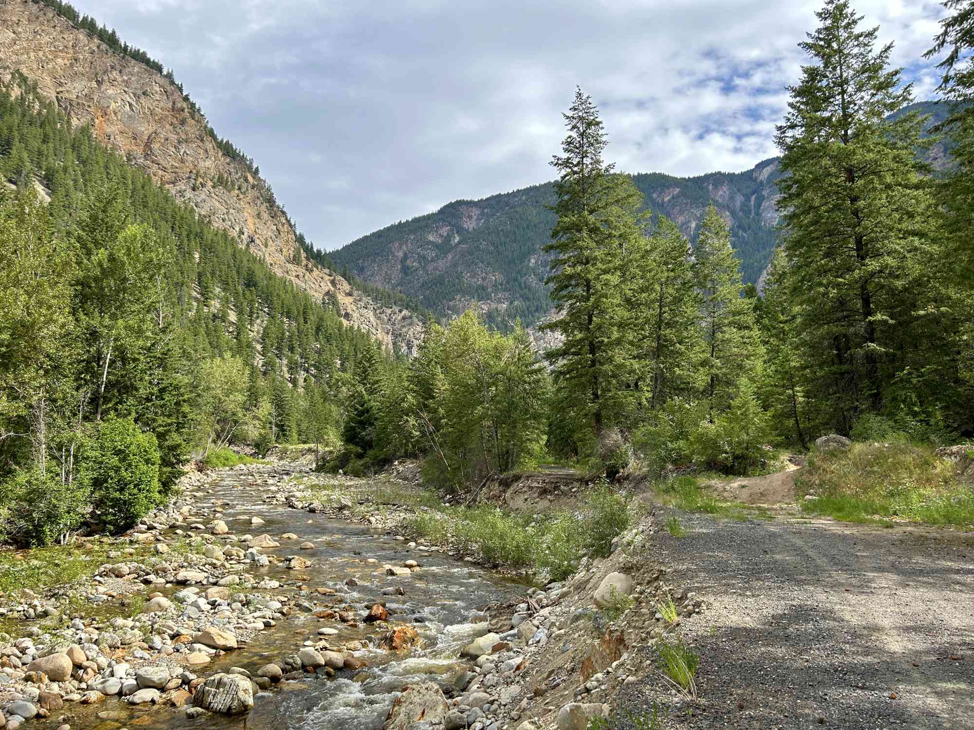
Hedley, a hidden gem in the breathtaking landscapes of British Columbia, boasts an intriguing secret known to only a few: the Monk Cave Trail. Nestled amidst rugged cliffs and accompanied by the gentle melody of a nearby creek, this trail offers a serene and captivating journey for nature enthusiasts seeking a unique experience. And now, we unveil the wonders of the Monk Cave Trail, its scenic beauty, and the remarkable tale of the reclusive monk who once called it home.
-
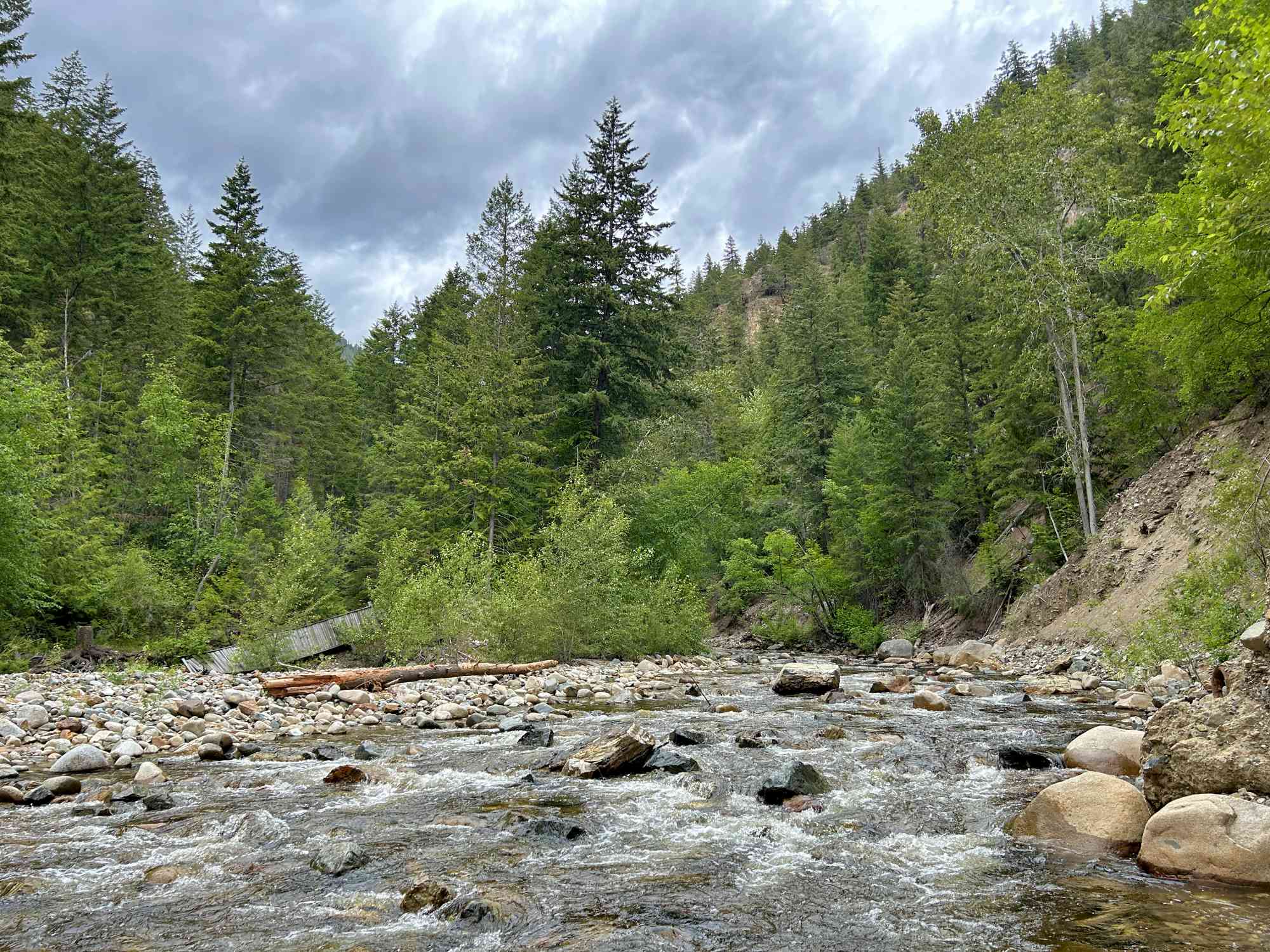
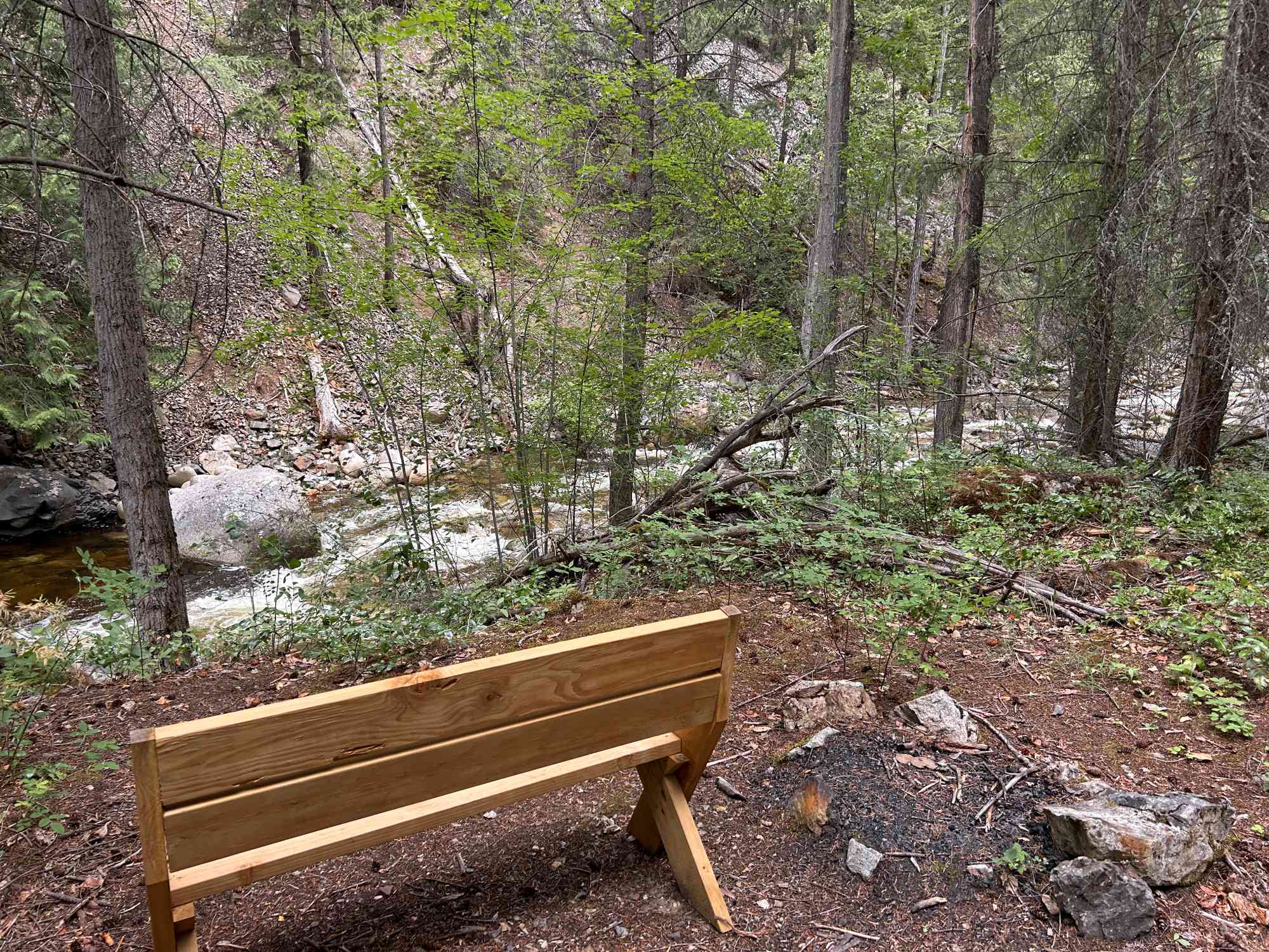
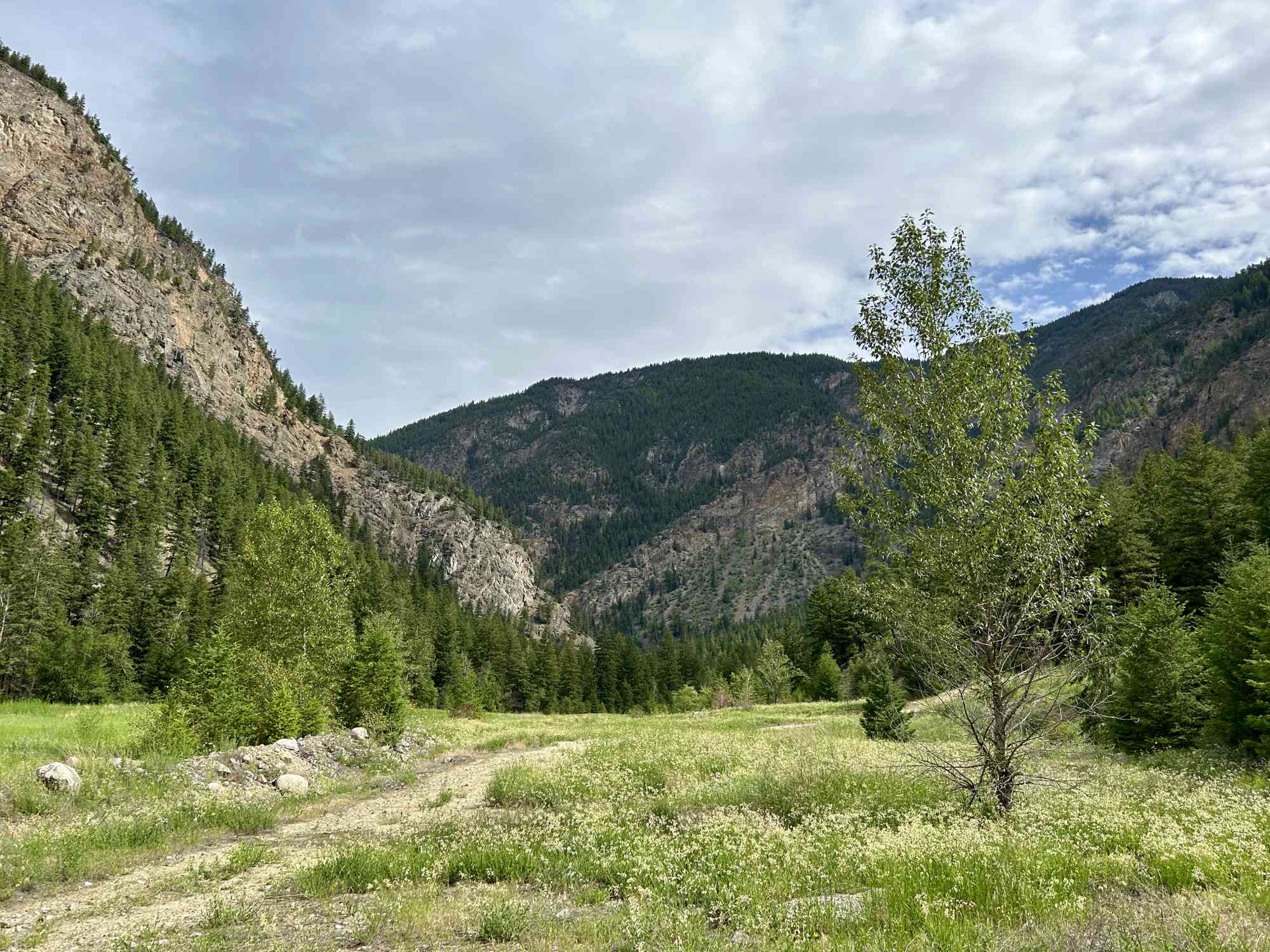
Unveiling the Hidden Gem: Tucked away in the heart of Hedley lies the Monk Cave Trail, an enchanting pathway that beckons adventurous souls. This lesser-known trail rewards intrepid hikers with a picturesque creek-side walk, tranquil ambiance, and a glimpse into the unique craftsmanship of the Monk Cave.
-
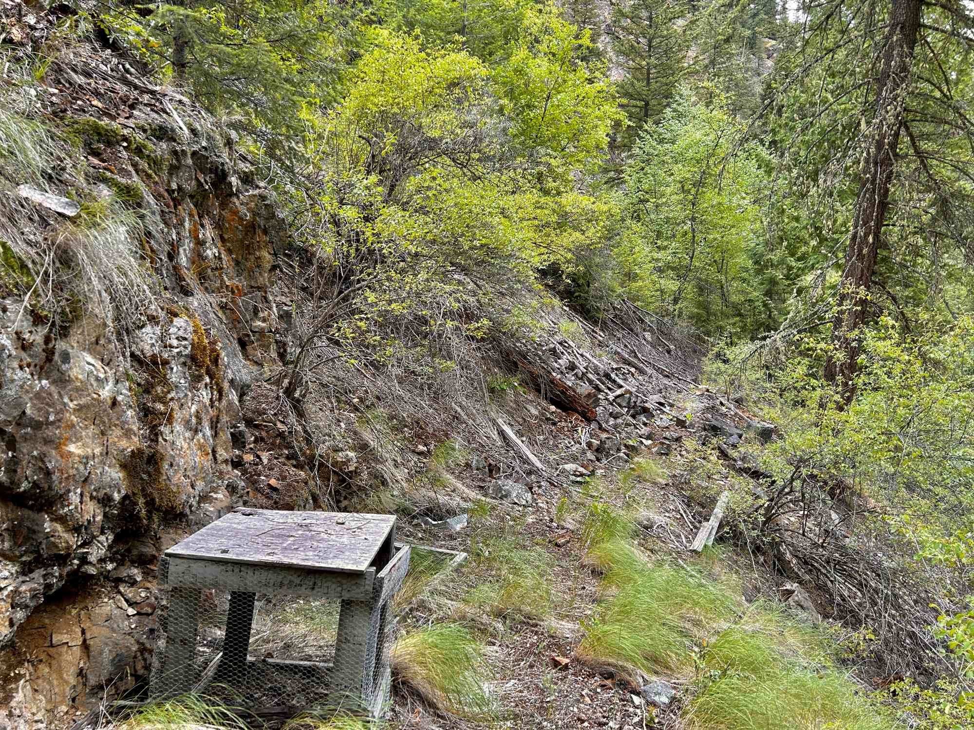
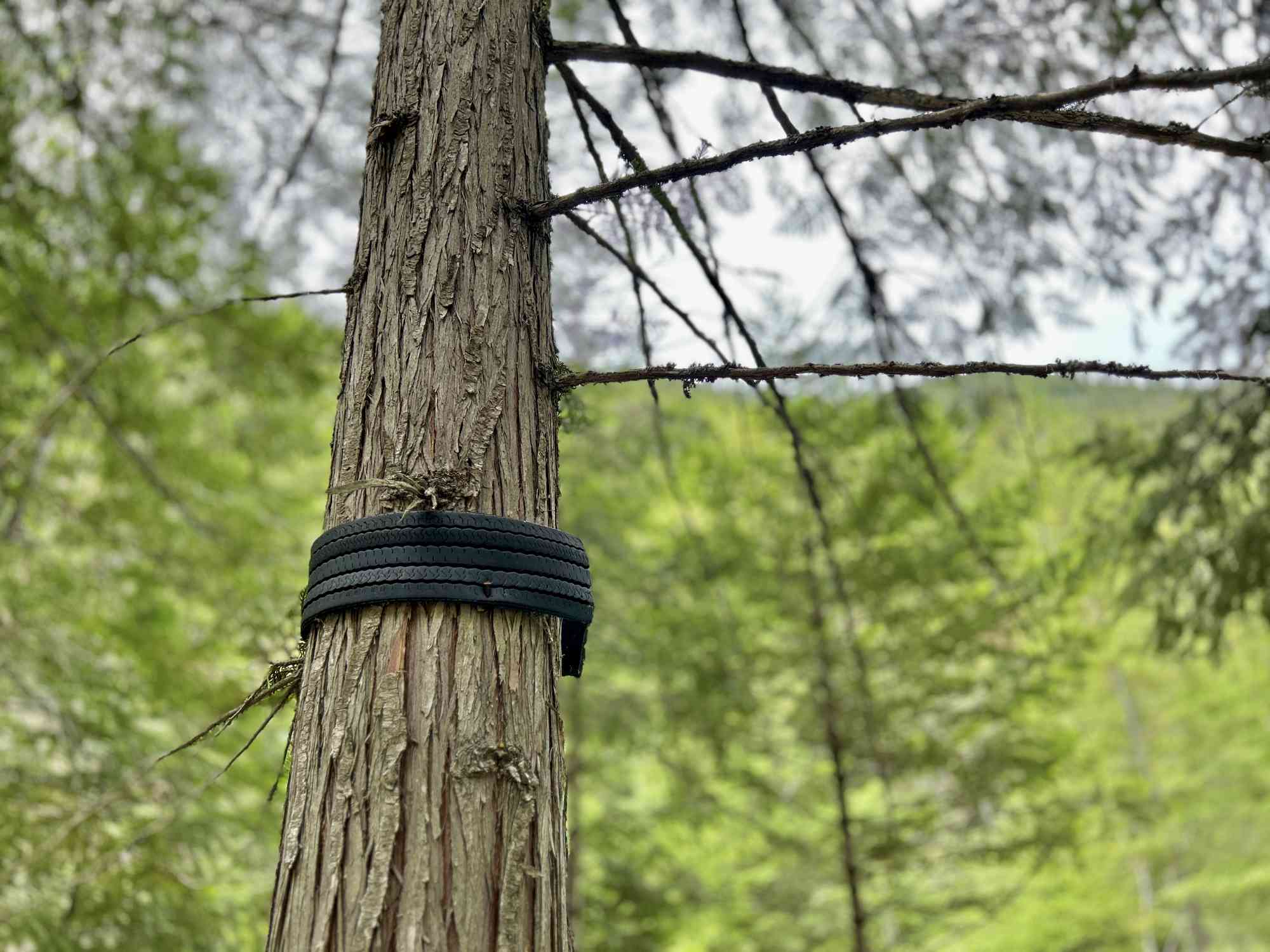
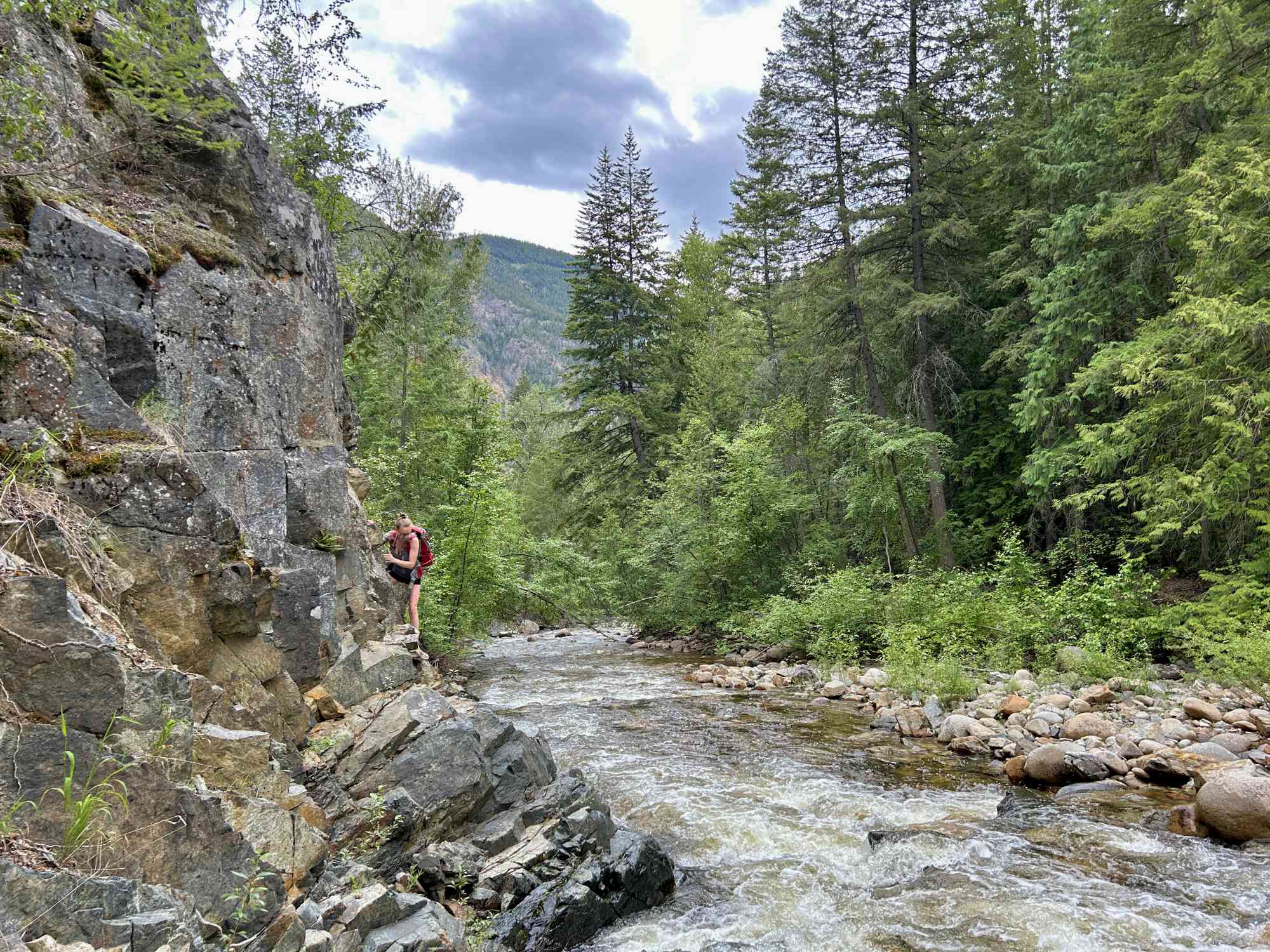
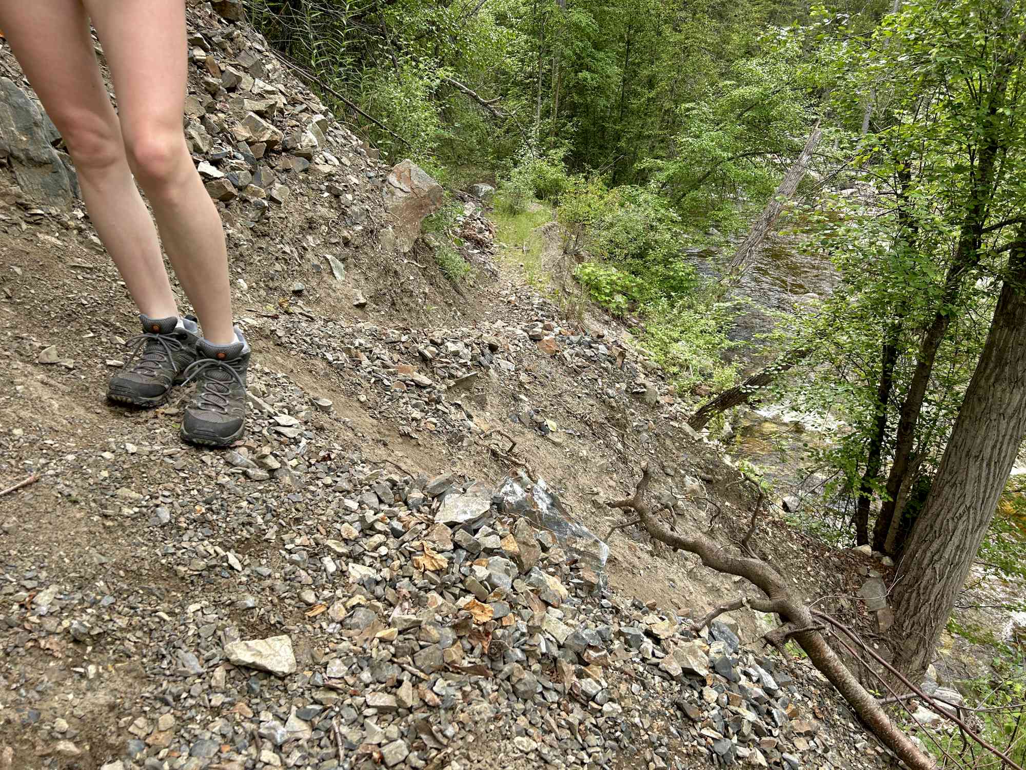
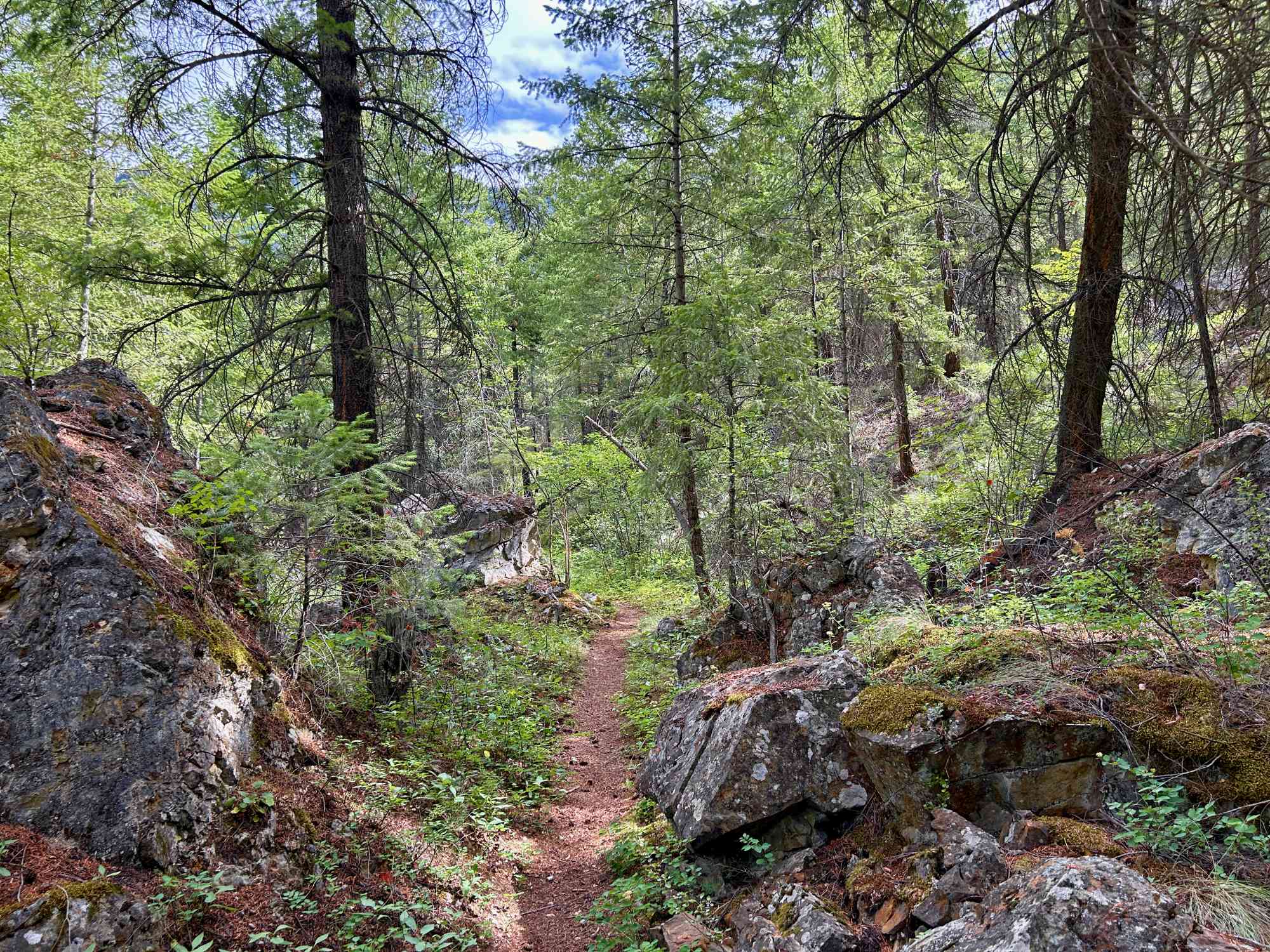
The Journey Begins: To embark on this unforgettable journey, start by printing off our GPS map, downloading it, and acquiring the offline trail data to ensure you stay on route. It is very easy to deviate from the trail and turned around as bushwhacking is involved, and there are very little signs of usage.
-
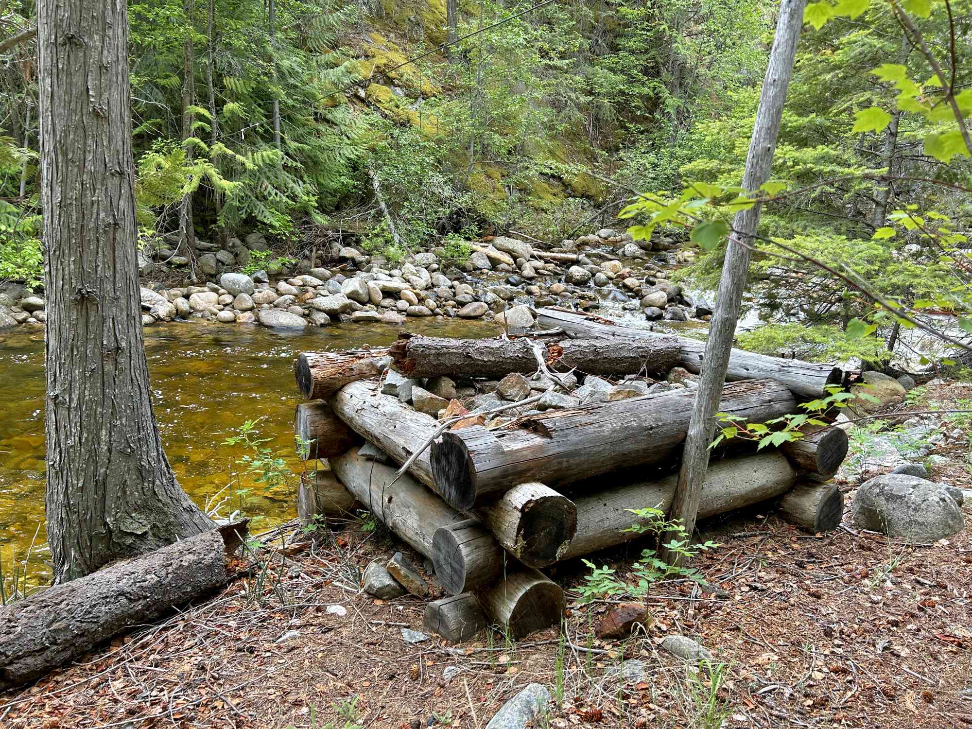
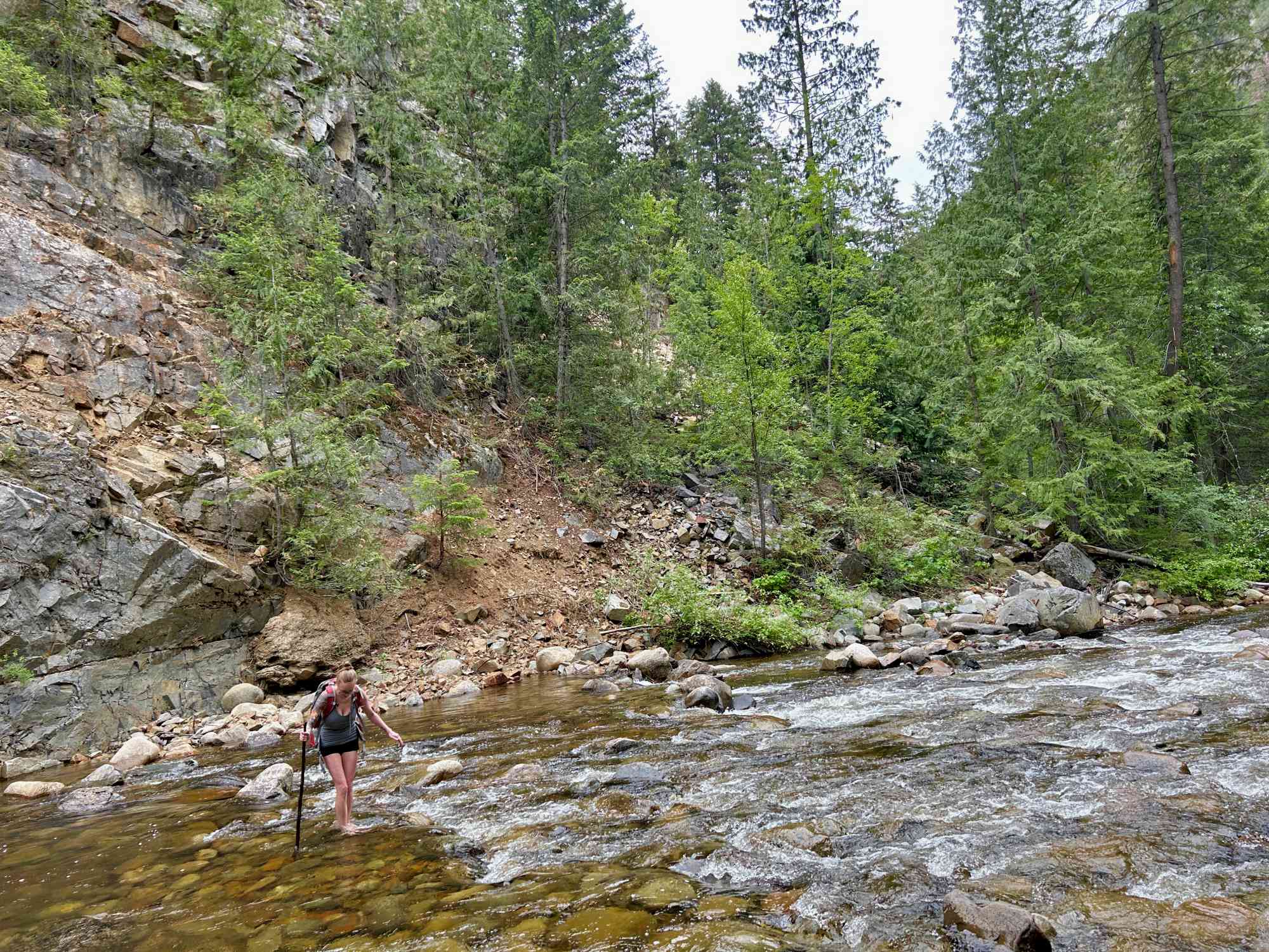
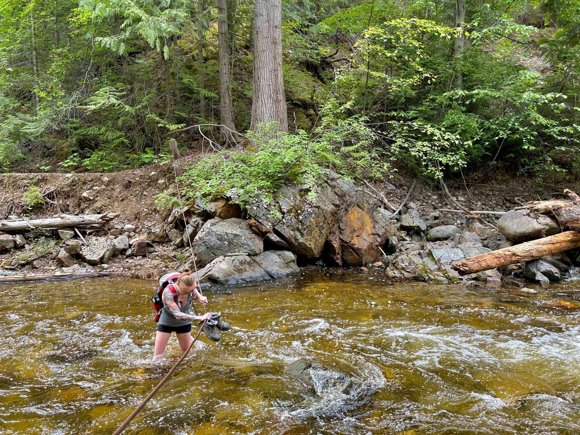
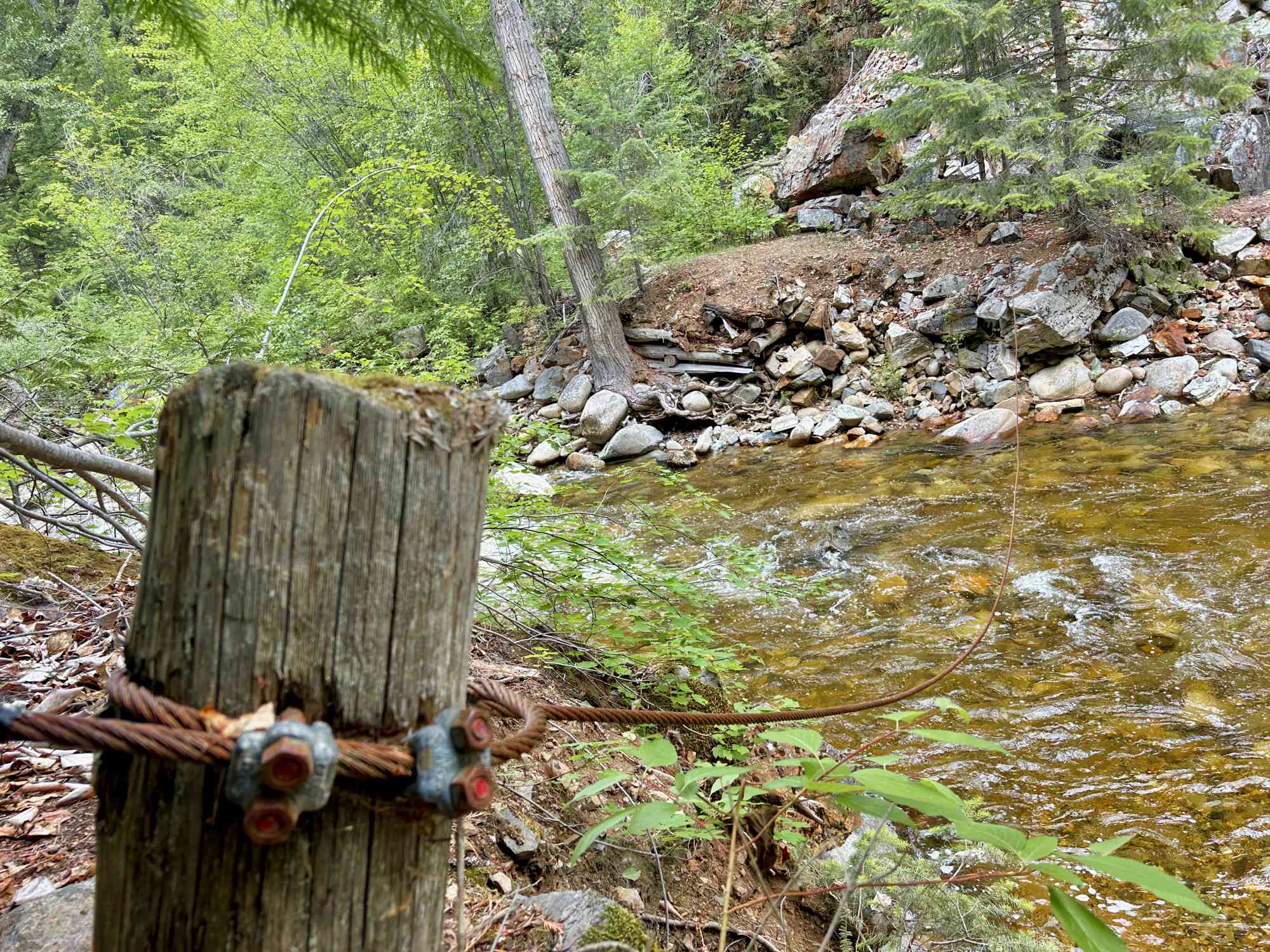
Embracing the Natural Beauty: As you meander along the creek, you'll encounter now-destroyed bridges that beckon you forward. Be prepared for a one adventure after the next, as you are forced to throw on your water shoes and trek across the river (which may go up to your waist in mid-June!). Tread carefully as the stones will be slippery. Do not attempt in bare feet.
-
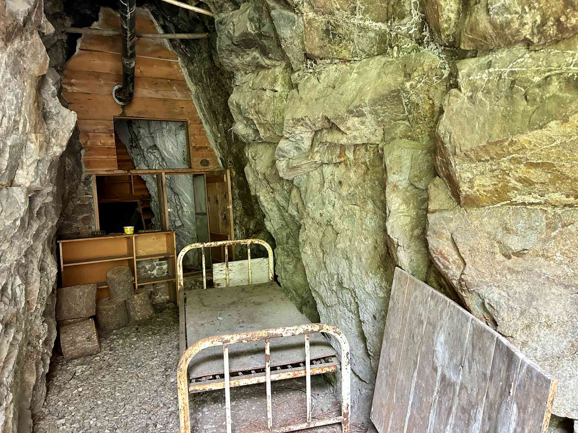
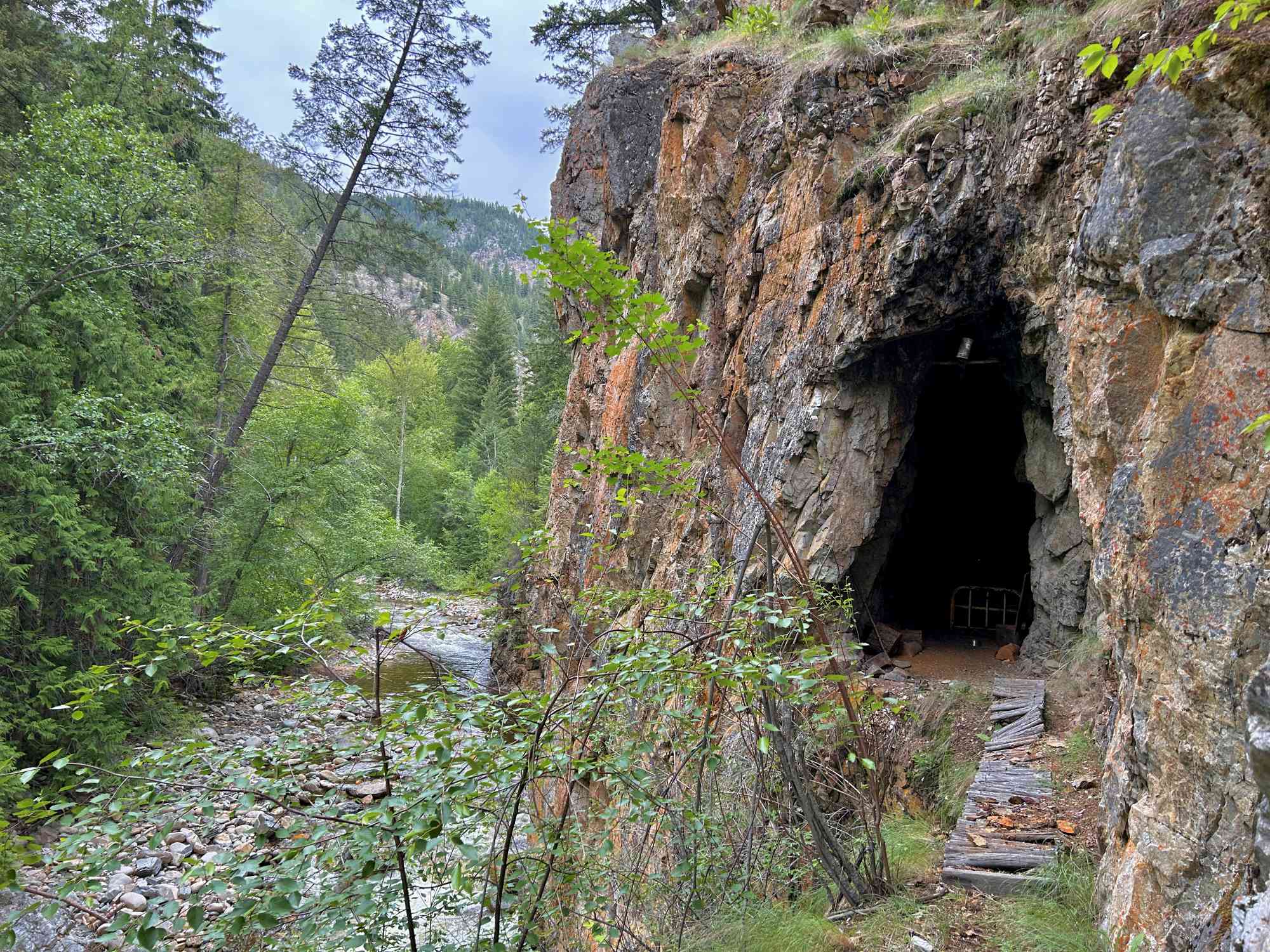
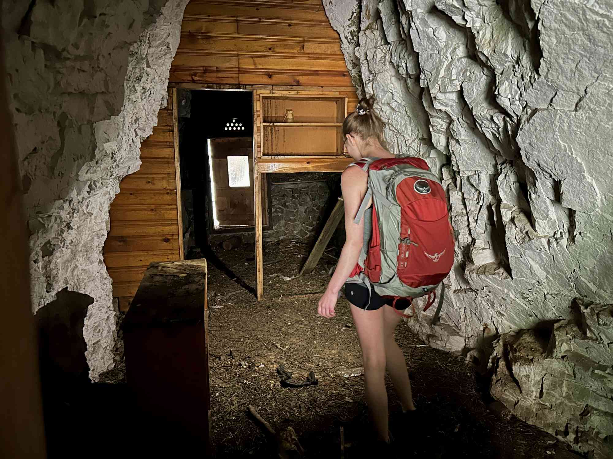
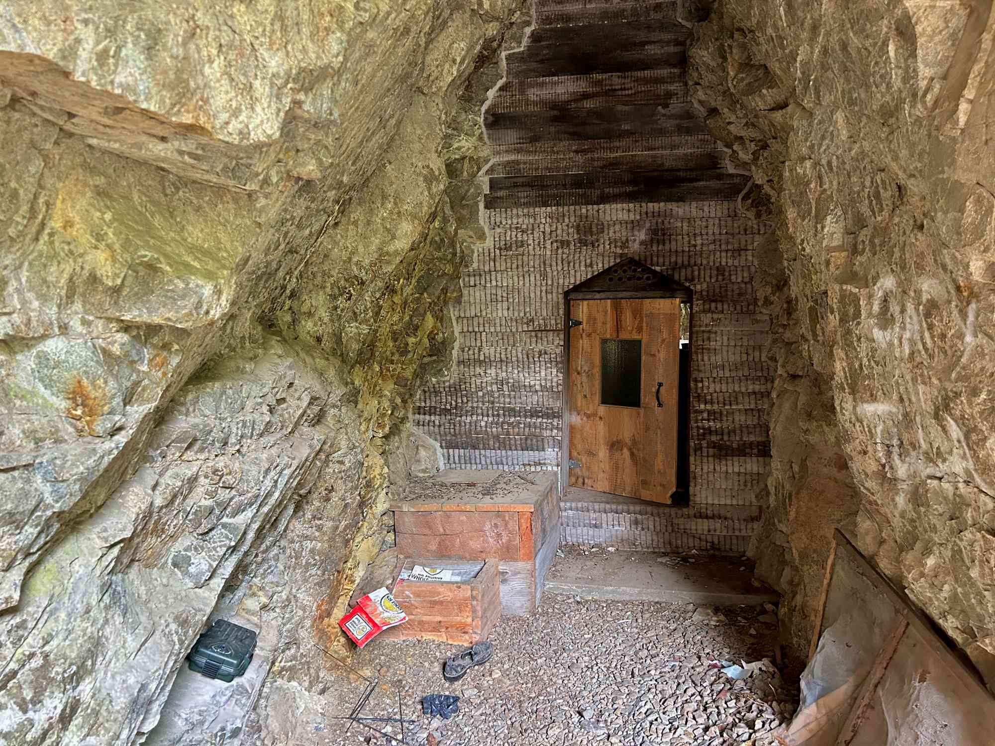
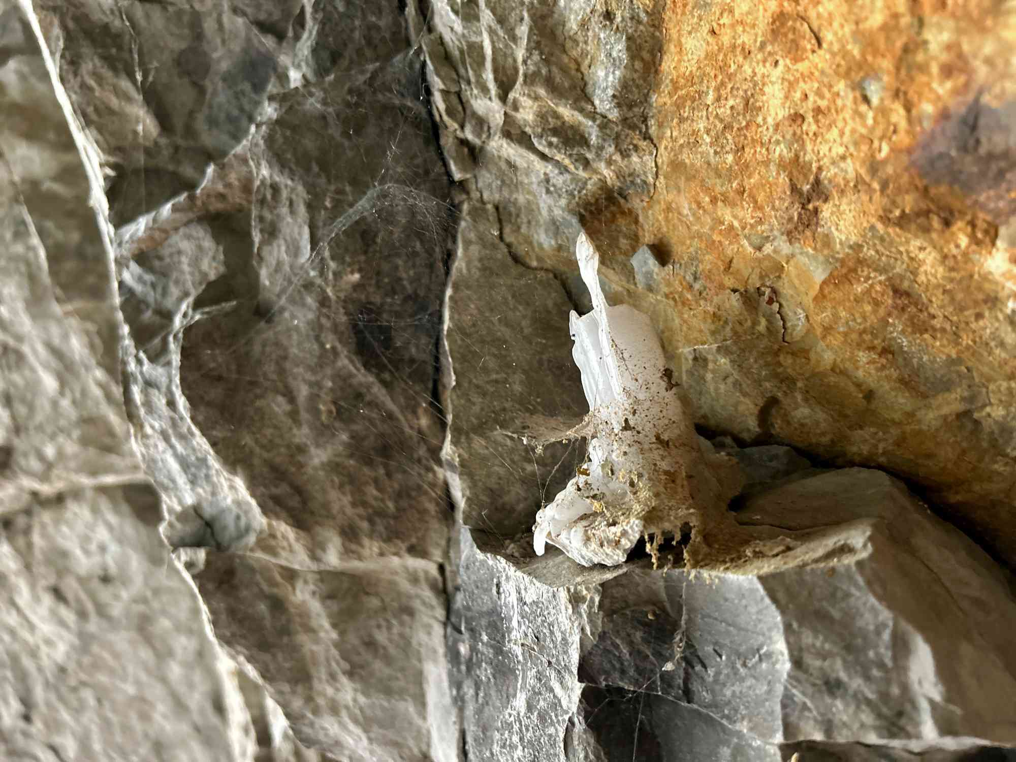
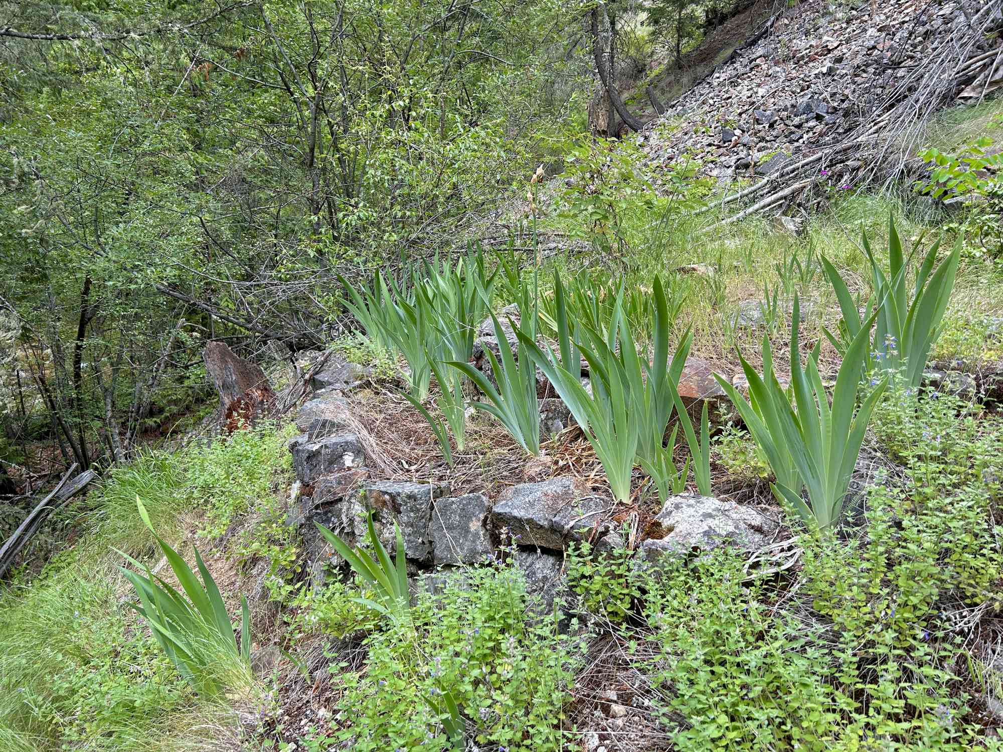
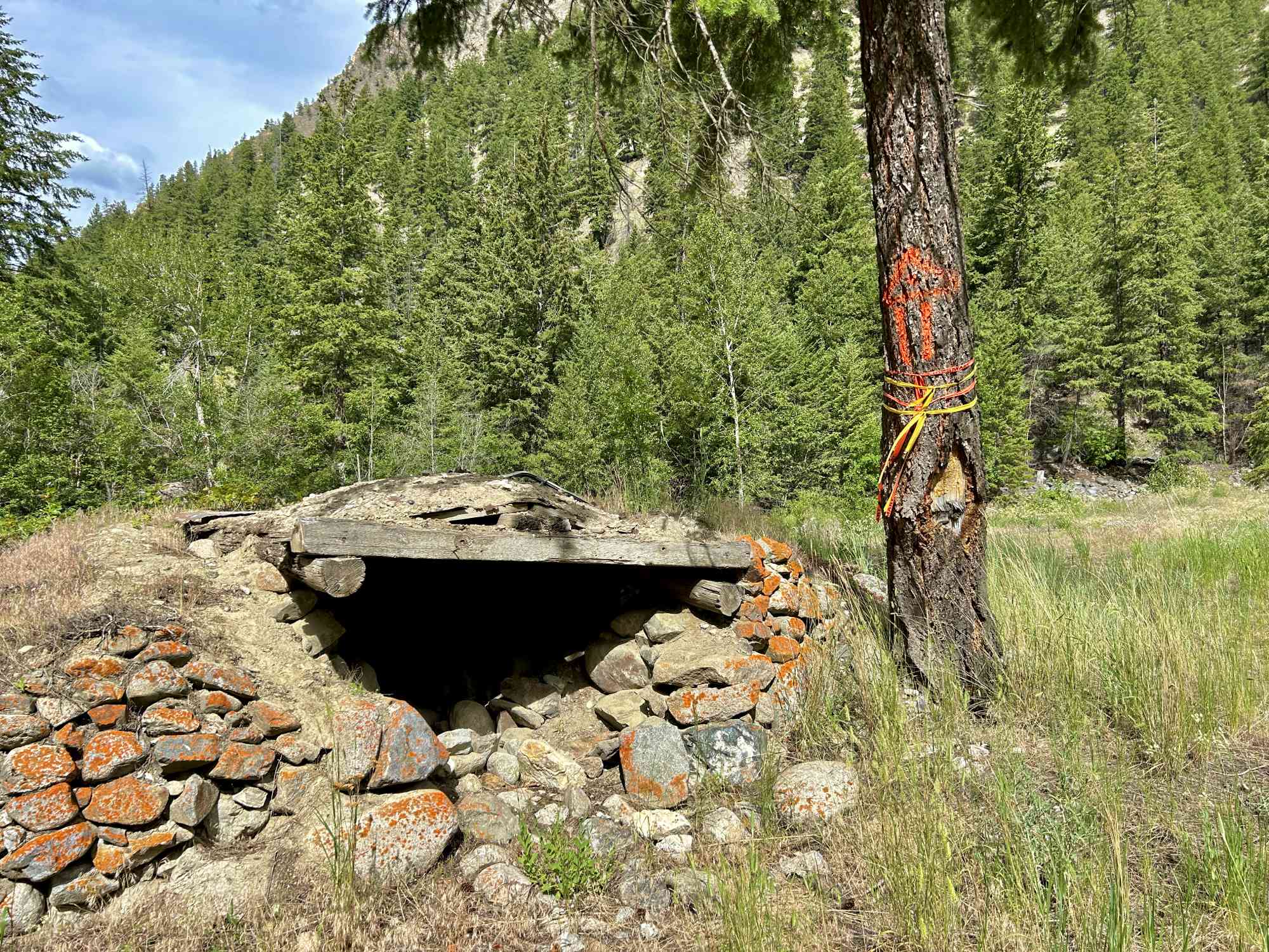
Discovering the Monk Cave: The trail is incredibly challenging to follow without GPS, and you will be required to rely on your trail expertise to look for signs of usage instead of signage. But alas, upon reaching the Monk Cave after 1.5 to 2 hours (for adept hikers), it will reveal itself as a testament to escaping city life and delving into the serenity of nature. The makeshift woodwork, decaying twin bed, shelving, and... ummm... rat poop... create an ambiance of serenity. Step inside with care, cross through the very short passage to the other side, and sign the logbook to leve your mark! Don't miss the meticulously crafted stone terraced flower garden, a testament to the monk's devotion and artistry.
-
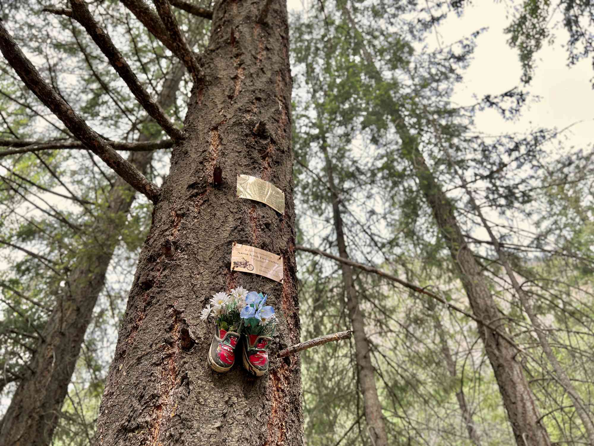
Unraveling the Monk's Tale: The monk, known as Leon, sought solace in the cave during the early 1990s. Tragically, a fire forced him to depart, but his determination led him back in 2000 to rebuild his humble abode. Leon gained local fame, welcoming visitors year-round, until a flood in 2006 compelled him to relocate to the Indian Reserve near Wolf Lake, where he resides to this day.
-
Planning Your Visit: While contacting Leon directly may be almost impossible, the allure of meeting this enigmatic monk remains. Remember to respect the privacy and tranquility of the Monk Cave and its surroundings. Prepare for your journey by wearing appropriate hiking gear, carrying essential supplies, and notifying someone of your plans for added safety.
Embark on a journey of discovery and reflection. Lace up your hiking boots, embrace the serenity of the creek, and immerse yourself in the rugged adventure of the trail —an experience that will undoubtedly leave a lasting impression.
Warning: We have not verified the land ownership for this route. Obtaining permission if some or all of the route exists on private property is your responsibility.
Route
Kids & Pets
Features
Address
Driving Time
From Kelowna, BC, approximate travel time by car is 1 hr 45 min.
Notable GPS Co-ordinates
Detailed Directions
Warning: As of our last research on June 29, 2023 the last 300 meters of the route resides on the Upper Similkameen (Chuchuwayha) band land. While apparently no signage indicating this was present, it is always good practice to ask for permission from the band prior to entry if you are not a band member. We have retained this article on our site for those who are part of the band and wish to visit, have permission, and/or for historical and research purposes only.
- Drive to the intersection of Rogers Ave & Webster St in Hedley, BC and park
- Walk north on Rogers Ave to destination.
Google Directions
Duration Calculator
The metrics for this trail have been converted to round-trip formation for distance and elevation gain/descent if necessary.
We have a downloadable GPS map for this trail!
Last Updated on Sunday, January 26, 2025
Need help using it? See our FAQ.
Leave a comment
You must Login to post a comment!