
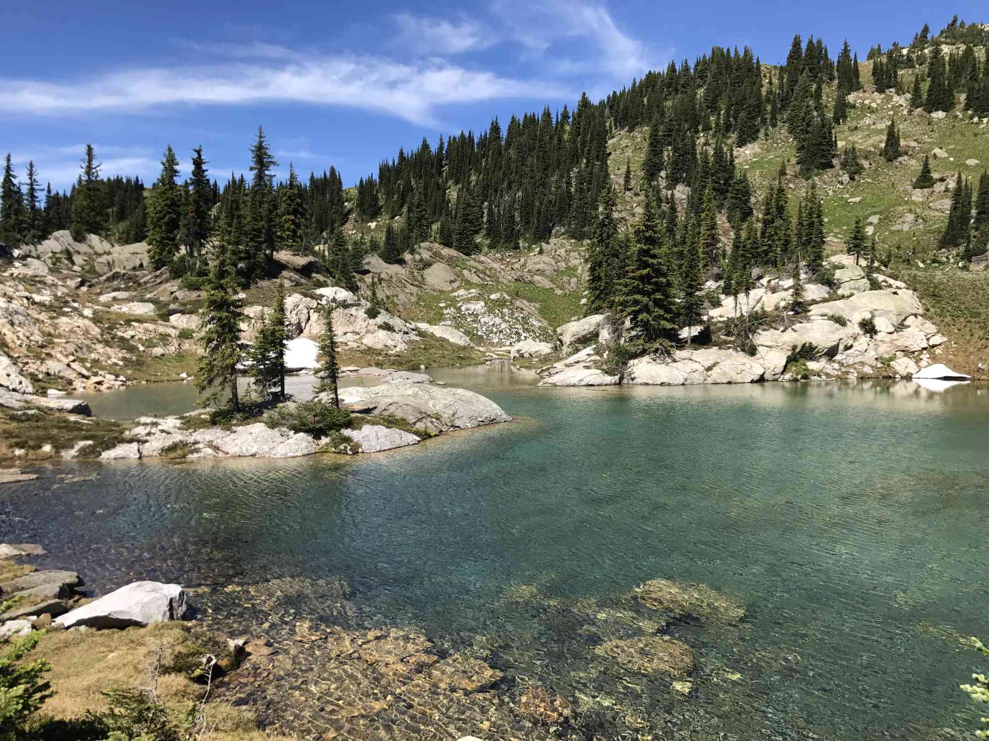
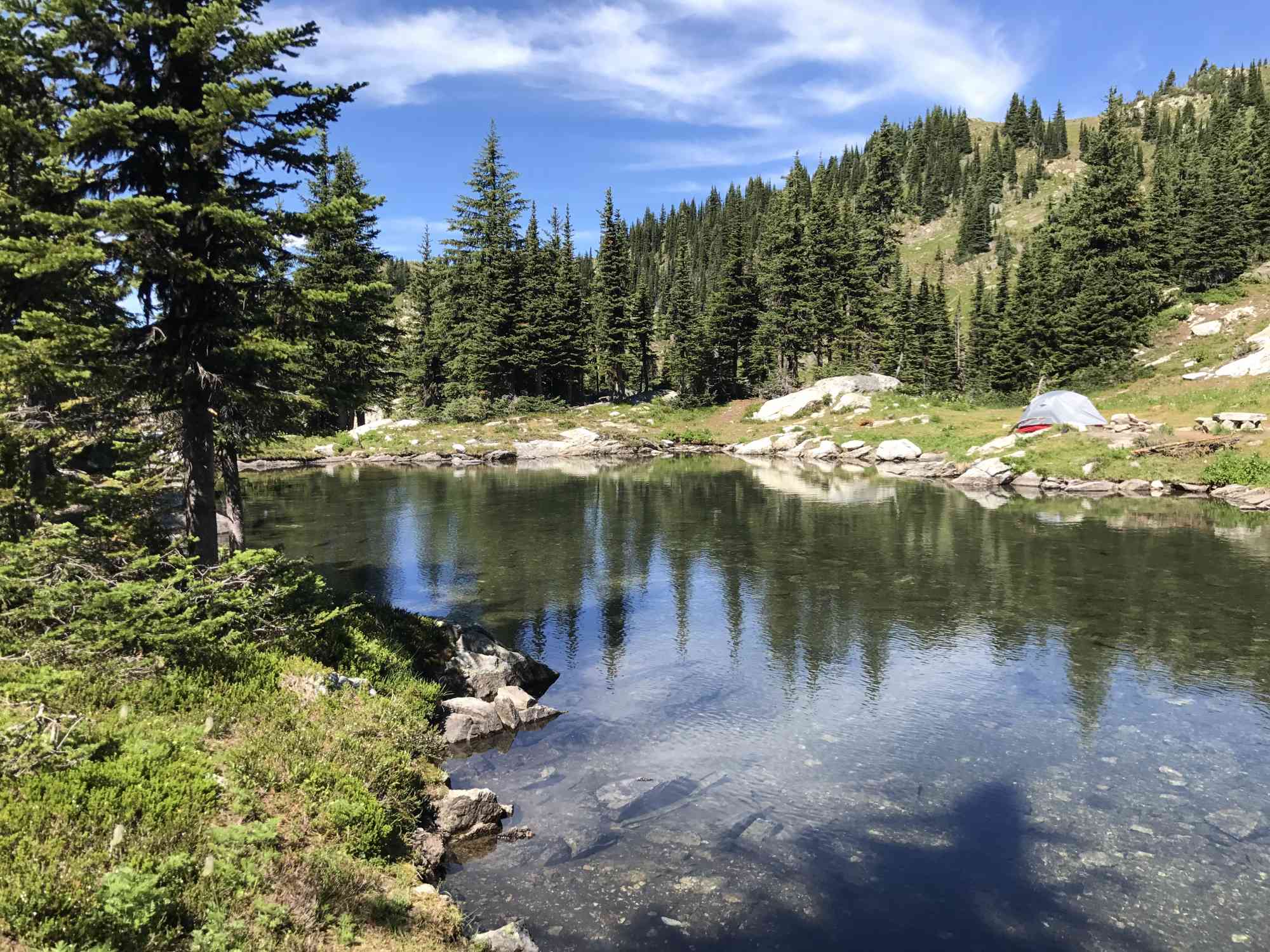
Monashees: Twin Lakes
Monashees: Twin Lakes
Cherryville
2 hr 45 min from Downtown Kelowna
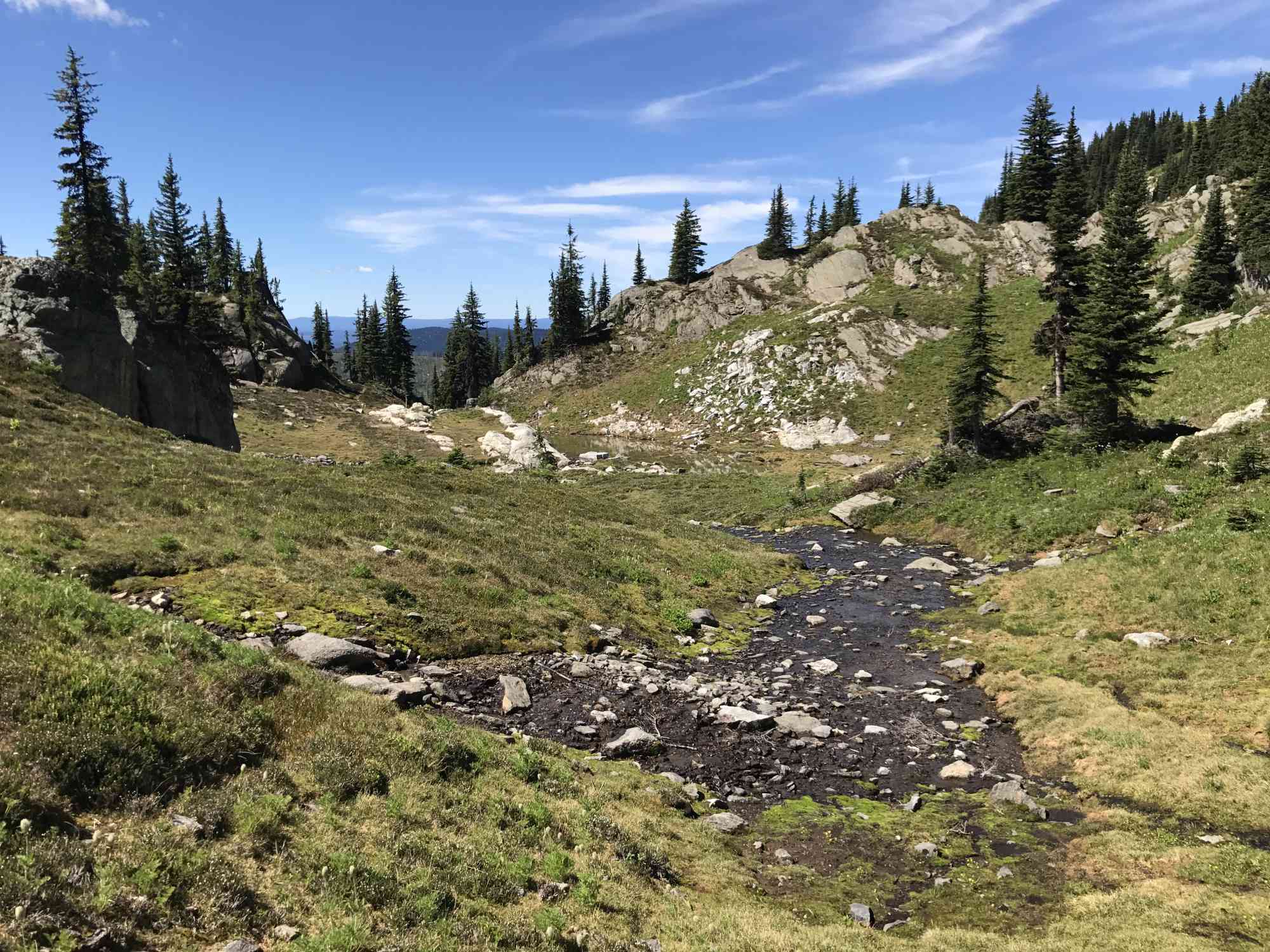
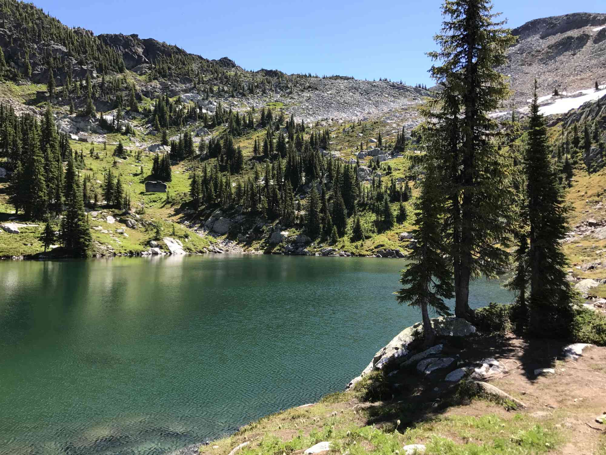
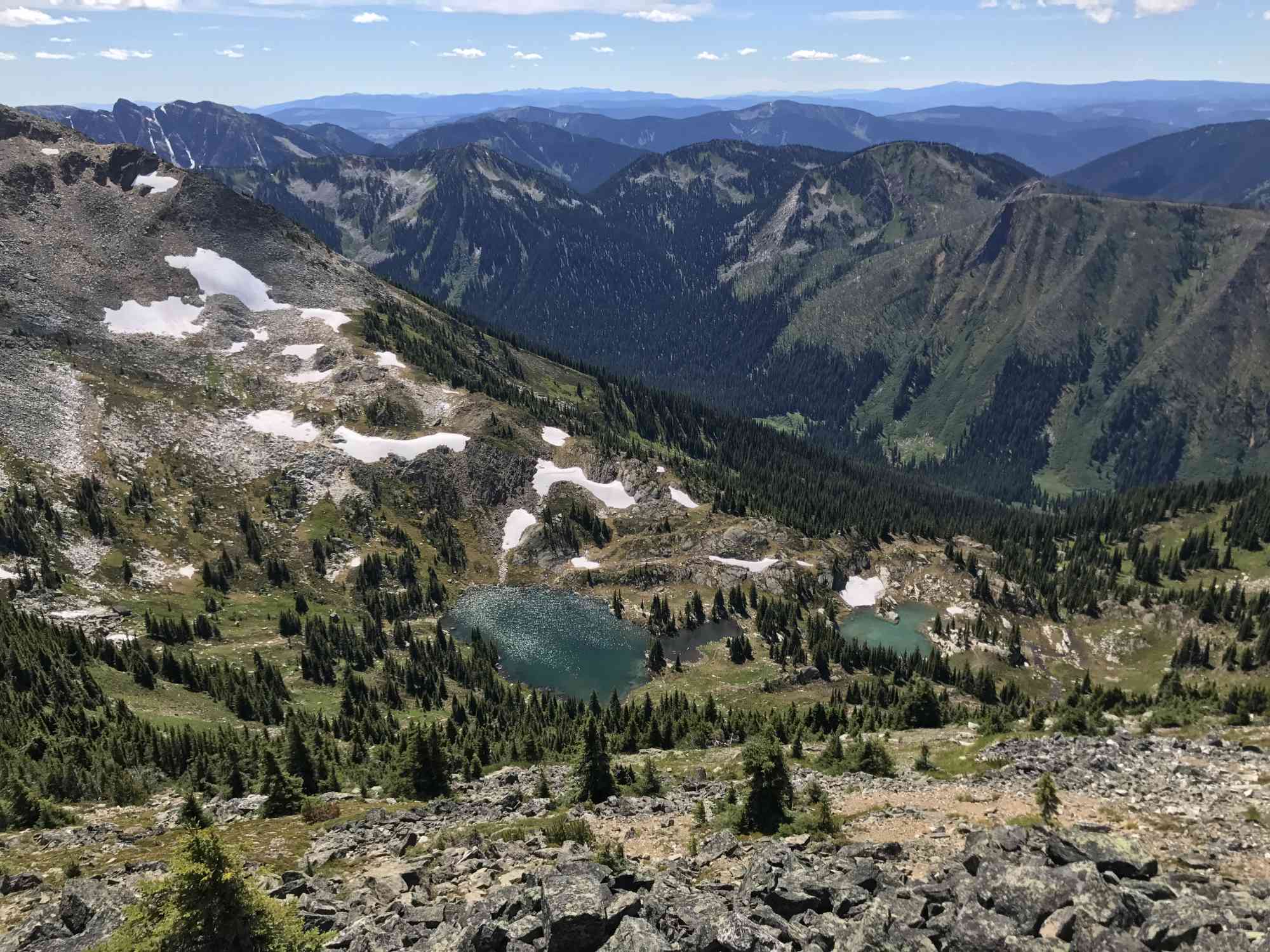
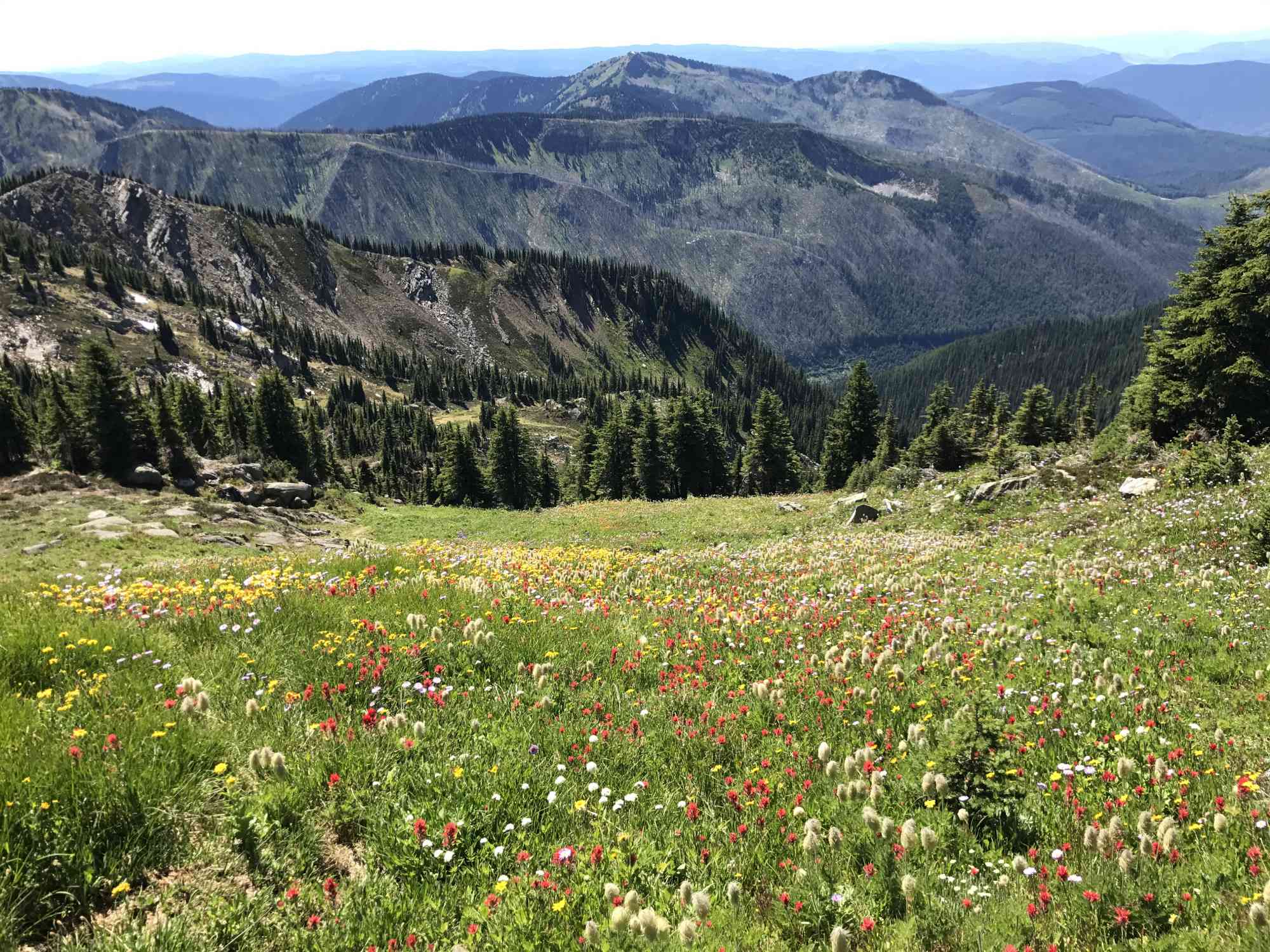
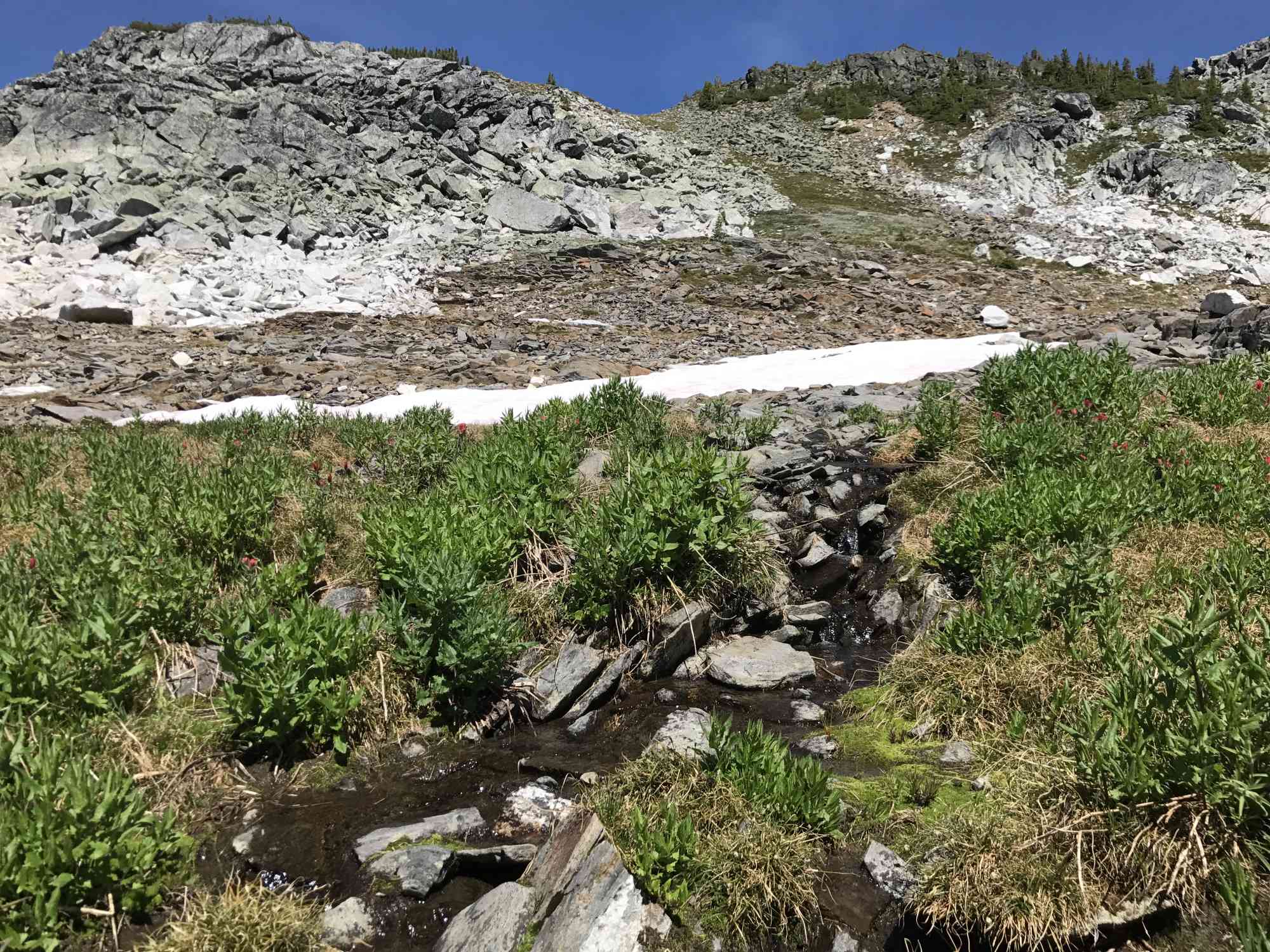
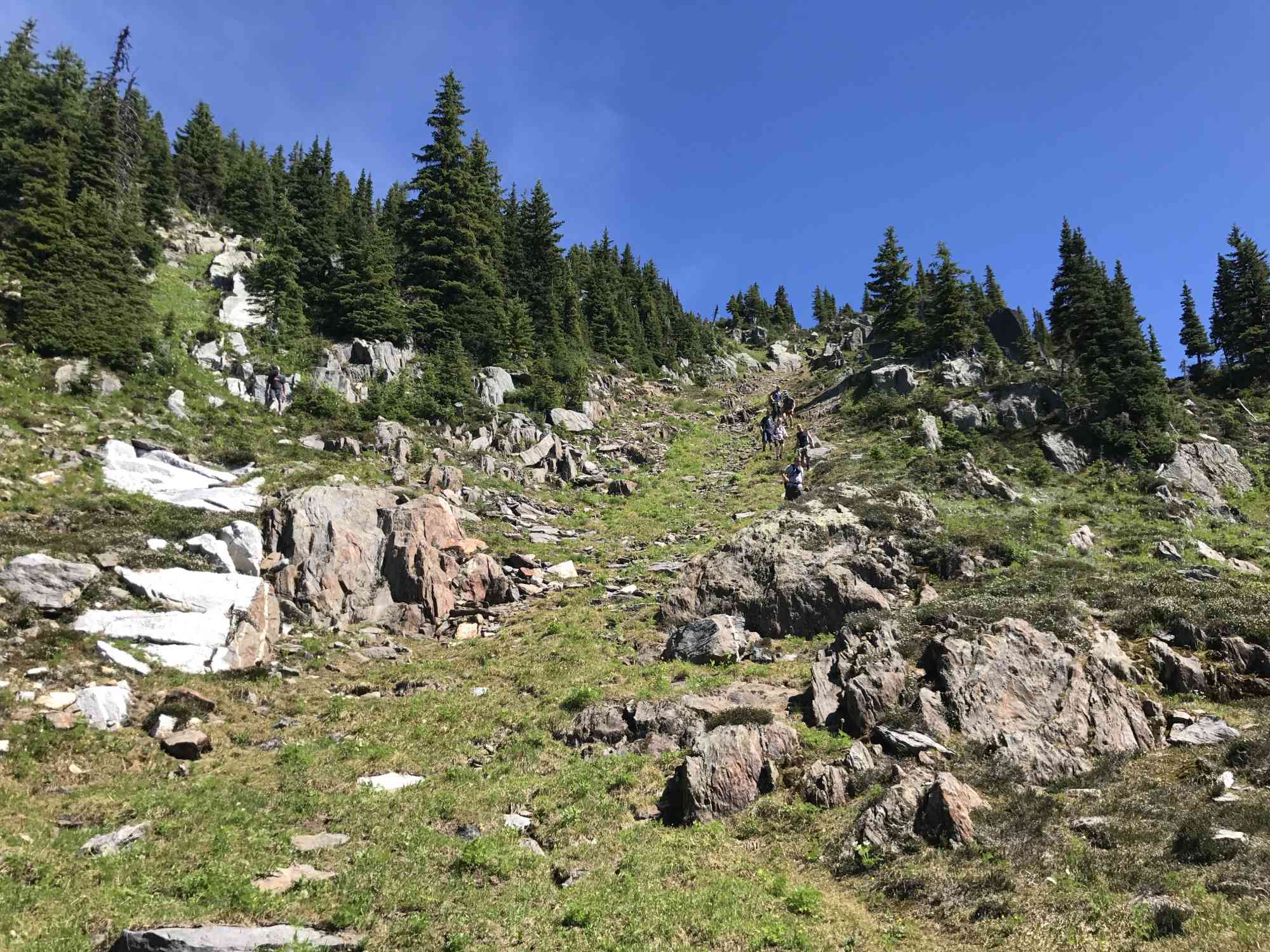
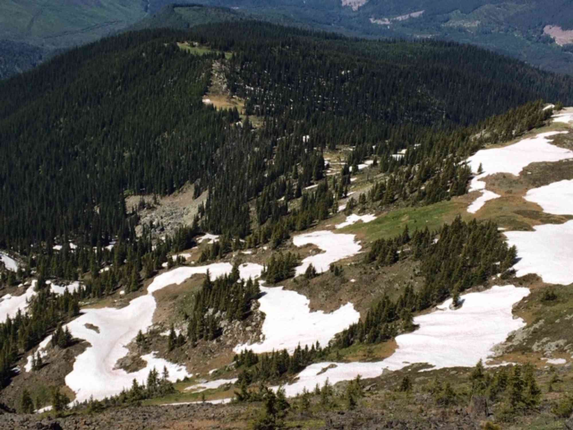
50.296748, -118.368961This spectacular alpine hike has a moderately challenging ascent that gains 500 meters over roughly 4 km. Pass through two open meadows before arriving at the pristine turquoise waters of Twin Lakes. Ideal for a backpacking camping experience for some serious solitude. To avoid snow, we suggest only doing this hike absolutely no earlier than the third week of July.
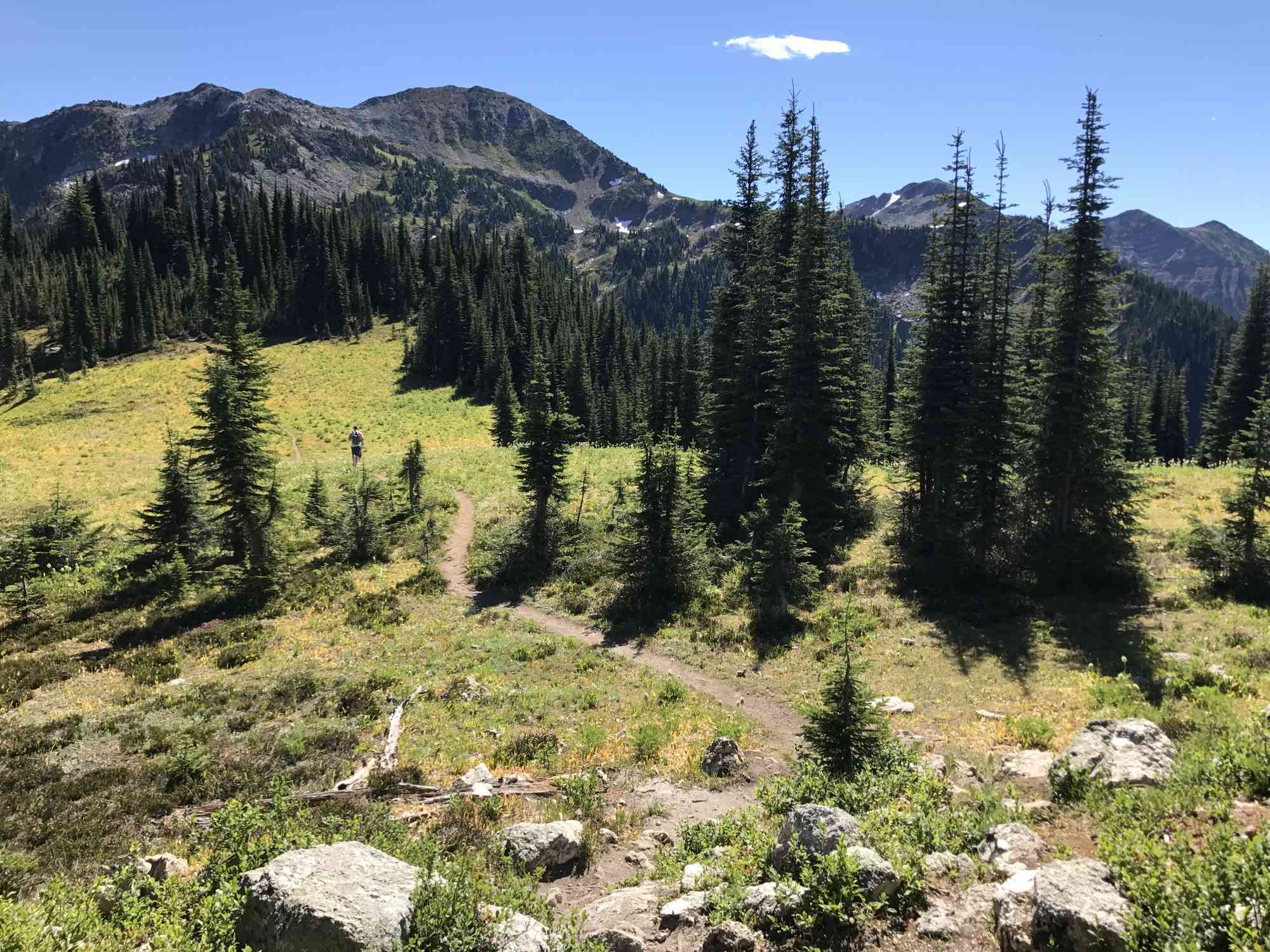
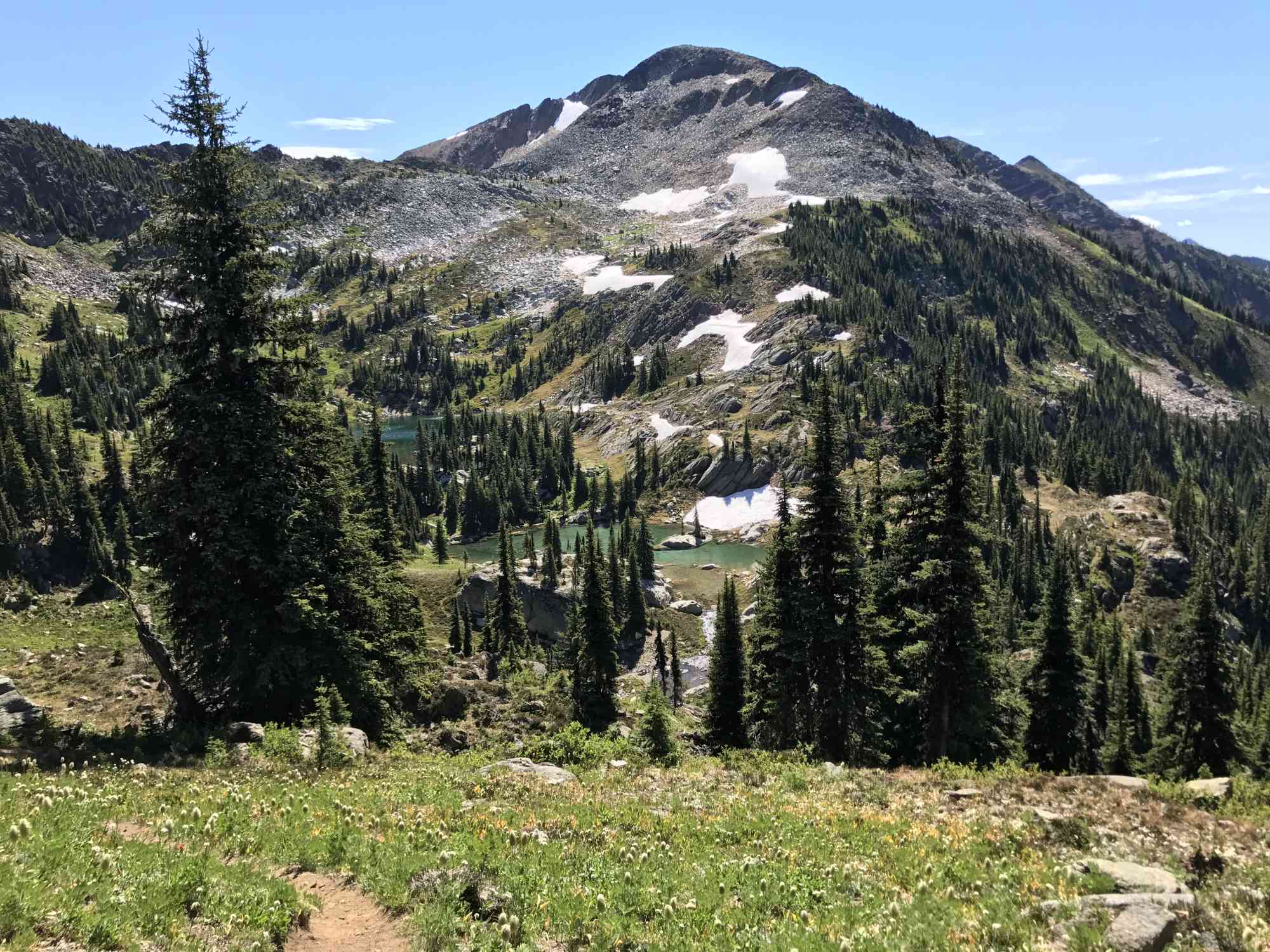
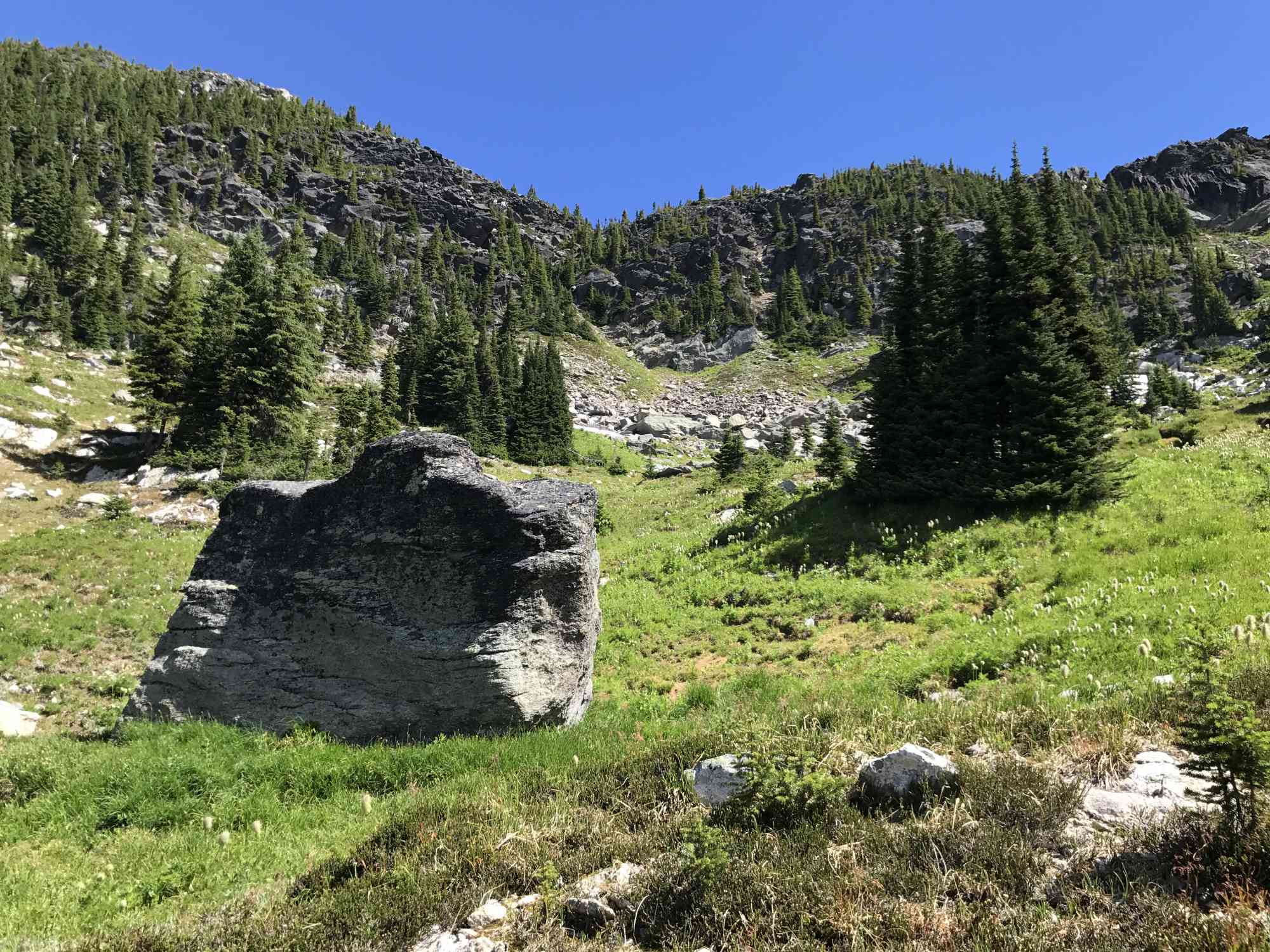
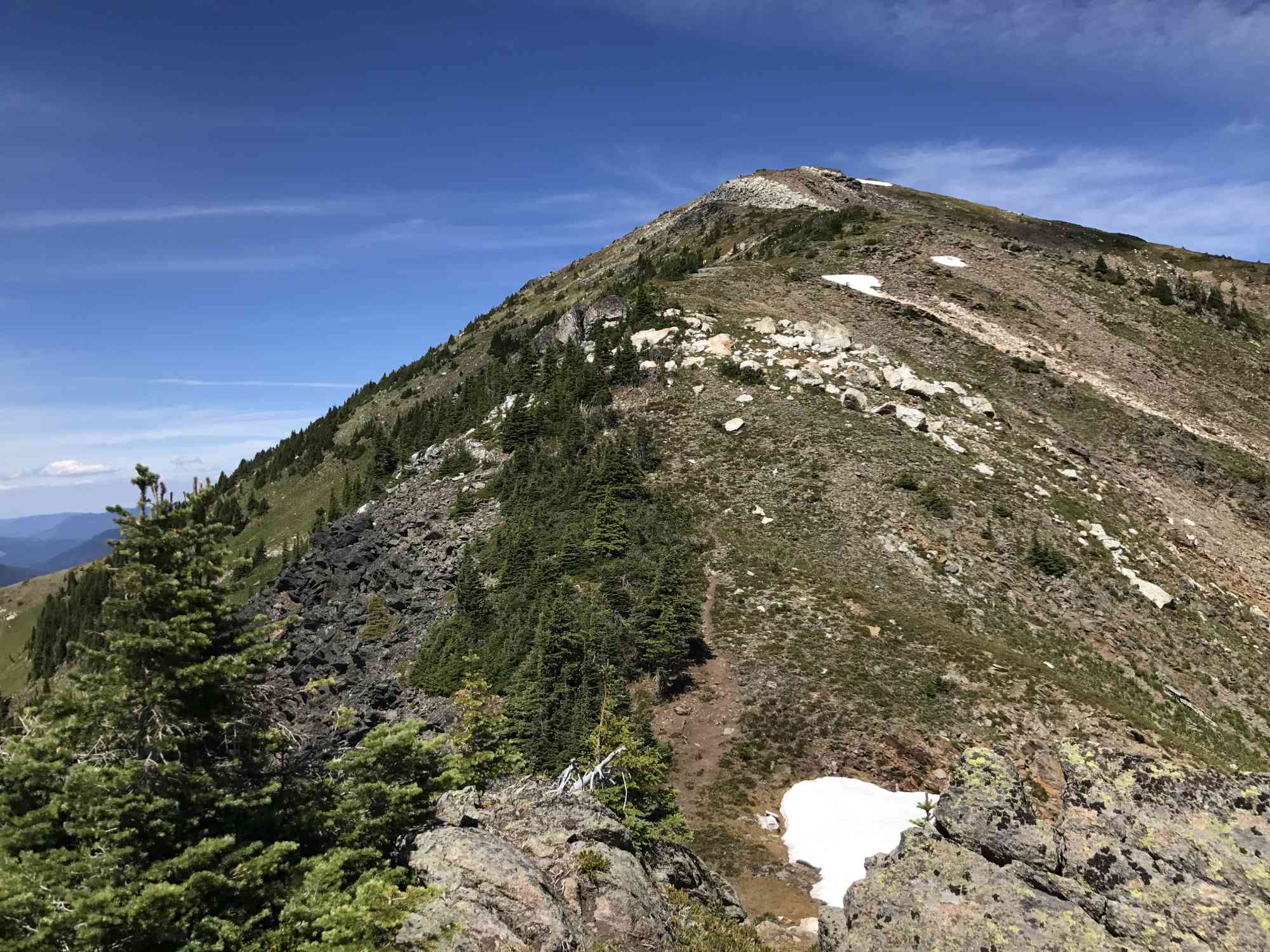
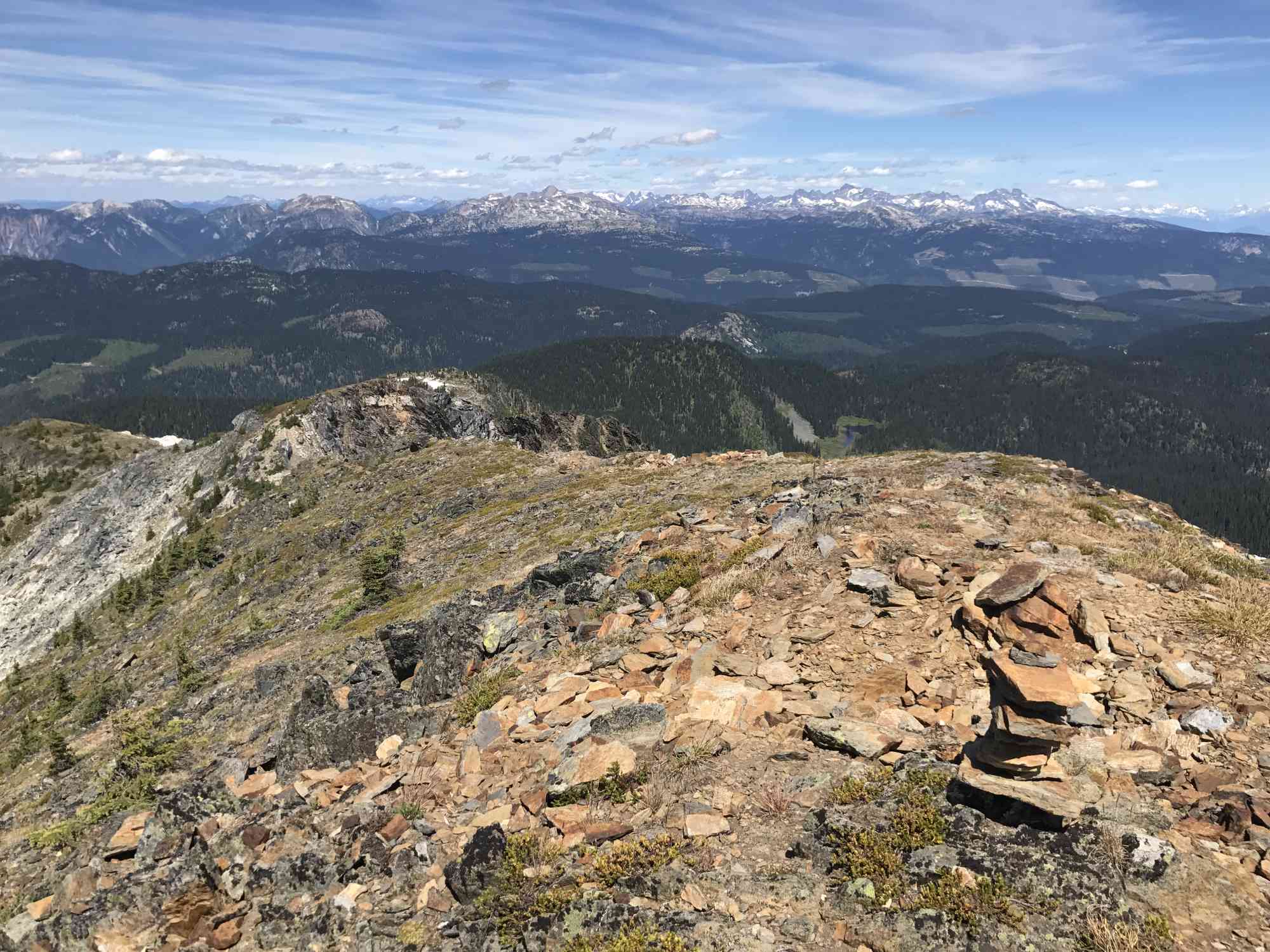
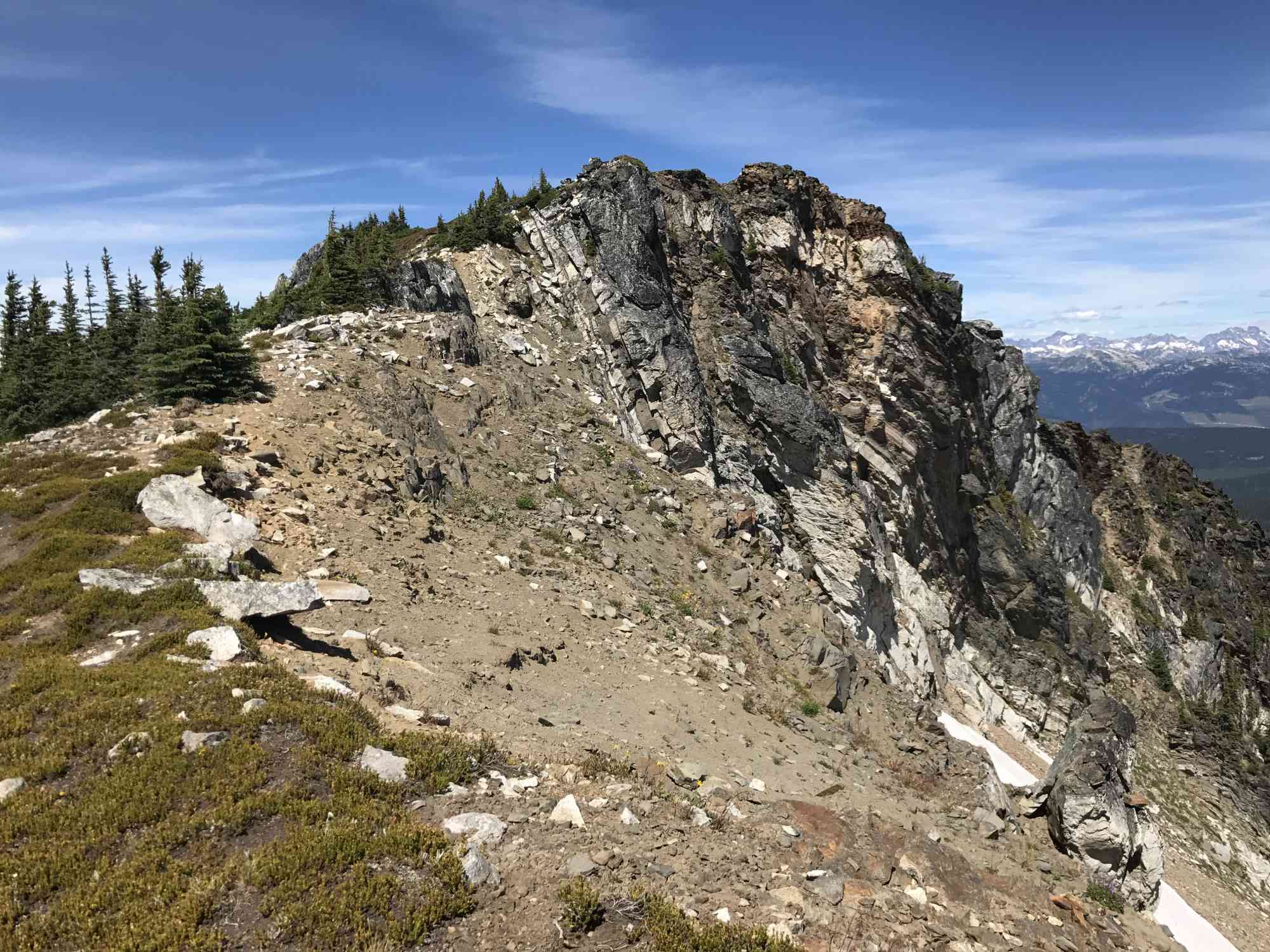
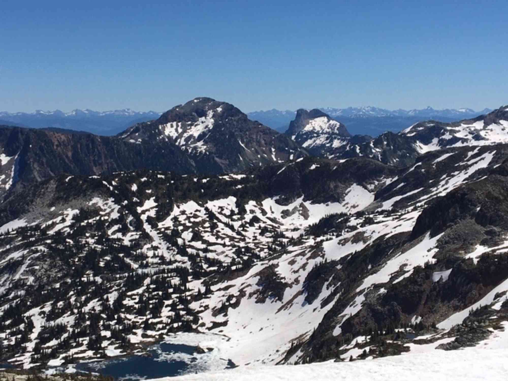
Optionally, climb up to the summit of Lakeview Mountain for phenomenal views of Lake Andrew, Twin Lakes, Monashee Provincial Park, and more. This route is way-finding only and there is no official trail or flagging. From the farthest lake walk around it clock-wise and head up the boulder field to the ridgeline between the two peaks (the saddle). Turn left (north) and walk through the meadows to the top! It is not a scramble, and can be easily done by most hikers. After the peak, head down to the next saddle and descent through a smaller boulder field to an open grassy field. Once reaching the stream, turn left and follow it through the meadows back to the main trail. This is an extra 2.9 km, but well worth the journey. The ascent is an additional 330 meters, with a substantially steeper 20% slope.
Optionally, climb up to the summit of Lakeview Mountain for phenomenal views of Lake Andrew, Twin Lakes, Monashee Provincial Park, and more. This route is way-finding only and there is no official trail or flagging. From the farthest lake walk around it clock-wise and head up the boulder field to the ridgeline between the two peaks (the saddle). Turn left (north) and walk through the meadows to the top! It is not a scramble, and can be easily done by most hikers. After the peak, head down to the next saddle and descent through a smaller boulder field to an open grassy field. Once reaching the stream, turn left and follow it through the meadows back to the main trail. This is an extra 2.9 km, but well worth the journey. The ascent is an additional 330 meters, with a substantially steeper 20% slope.
Route
Kids & Pets
Address
Driving Time
From Downtown Kelowna, approximate travel time by car is 2 hr 45 min.
Notable GPS Co-ordinates
Detailed Directions
There are a NUMBER of various forks and turn-offs to other forest service roads like Currie and Sandy Bear. Ignore these and stay on the main road.
While this trip can be done in a car (including a Toyota Prius) with great care, the dirt road becomes increasingly worse as drivers approach the trailhead. A vehicle with proper clearance is highly recommended.
1. From Highway 6 near Cherryville, turn north up N Fork Rd and RESET ODOMETER! (2.5 km East of Frank's General Store).
2. Turn LEFT on N Fork Rd after 6.7 km
3. At 13.7 km, keep RIGHT.
4. At 21.2 km, keep RIGHT and go across the bridge.
5. At 32.3 km arrive at parking lot and trailhead.
Google Directions
Use our written directions in preference to the Google directions below as they are likely more accurate.

Linear Trail
We have a downloadable GPS map for this trail!
Last Updated on Thursday, March 23, 2023
Need help using it? See our FAQ.Map Waypoints
GPS Notes
The directions are surprisingly difficult to follow! I drove it in my car and eventually gave up and turned around when I could not find the "road" at 17.1 km. The road was semi-passable in my car up until the point that I turned around but I will try with an bigger vehicle next time. On an aside, the first direction- "turn right on to N. Fork Rd" is actually a LEFT!!!
Sunday, July 24, 2016 at 6:22 PMJust back from this site and it was terrific! Note on the drive: there is new logging road at 4.8 km 'Odyssey' that masquerades as the main road. Turn RIGHT, do not continue straight at 4.8 km (you will see the 5 km sign on a stump 200 m up Odyssey and I/we believed that marked the main road). The upper section of the road became very rough, although friends did make the drive in their mazda car. I would really not recommend it in anything that doesn't have good clearance. There is still quite a bit of snow (july 14/15) and while the trail is fully covered by snow for sections it is still passable. Overnight temp was around 4 degrees.
Monday, July 16, 2018 at 11:08 AMDirections were very helpful! There was some snow and ice on the road about 4km from the trailhead (October 19, 2018) and the road is poorly maintained so appropriate tires/vehicle are a must. There's no cell reception on the road up to the trailhead and reception once you start climbing is spotty, but is stronger toward the summit. It's a very isolated area so just go prepared. The snow on the trail was pretty well packed so we were fine with our spikes, but I can't imagine doing this hike without spikes. We couldn't see the lake at all due to all the snow (other hikers who had hiked the trail before told us we passed it) but it was still the most gorgeous hike!
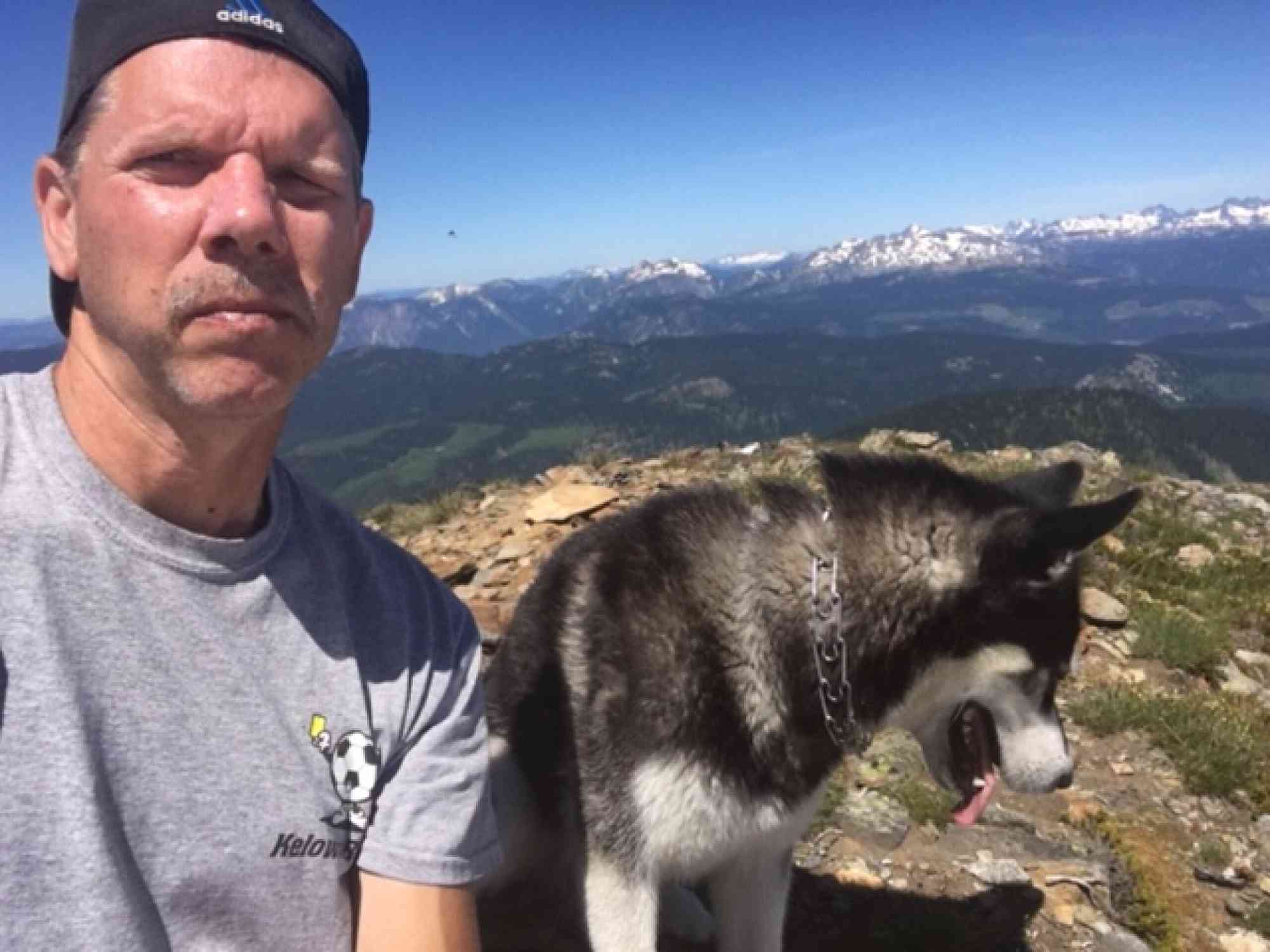
Saturday, October 20, 2018 at 1:34 PMHiked to the lakes and up the summit on the north side of the lakes. Tagged along with a couple from Vernon and their dogs, thanks guys! Directions were bang on and the North Fork FSR is easy to follow, has a big sign advising you are on the right road. The last 6 km are rough, need truck or high clearance car (bring your Suby). Lots of vehicles today. Still snow patches everywhere. Views from the summit are amazing, bring sunscreen I got a sunburn walking around on the snowfields, my husky Misha loved having snow to roll around on! Bringing a tent next time, didn't want to leave.
Sunday, July 26, 2020 at 8:19 PMLeave a comment
You must Login to post a comment!