
Monashees: Spectrum Lake
Monashees: Spectrum Lake
Cherryville
55 min from Frank's General Store in Cherryville, BC
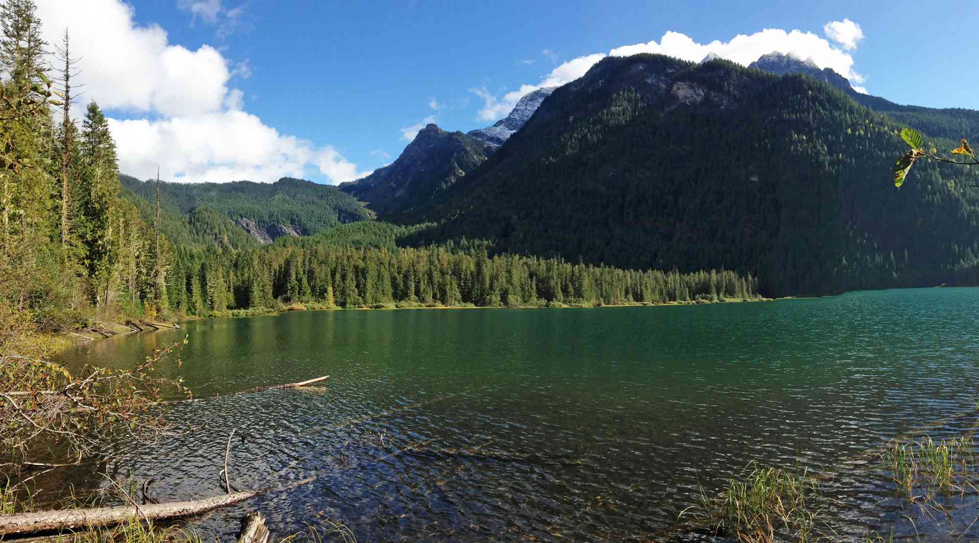
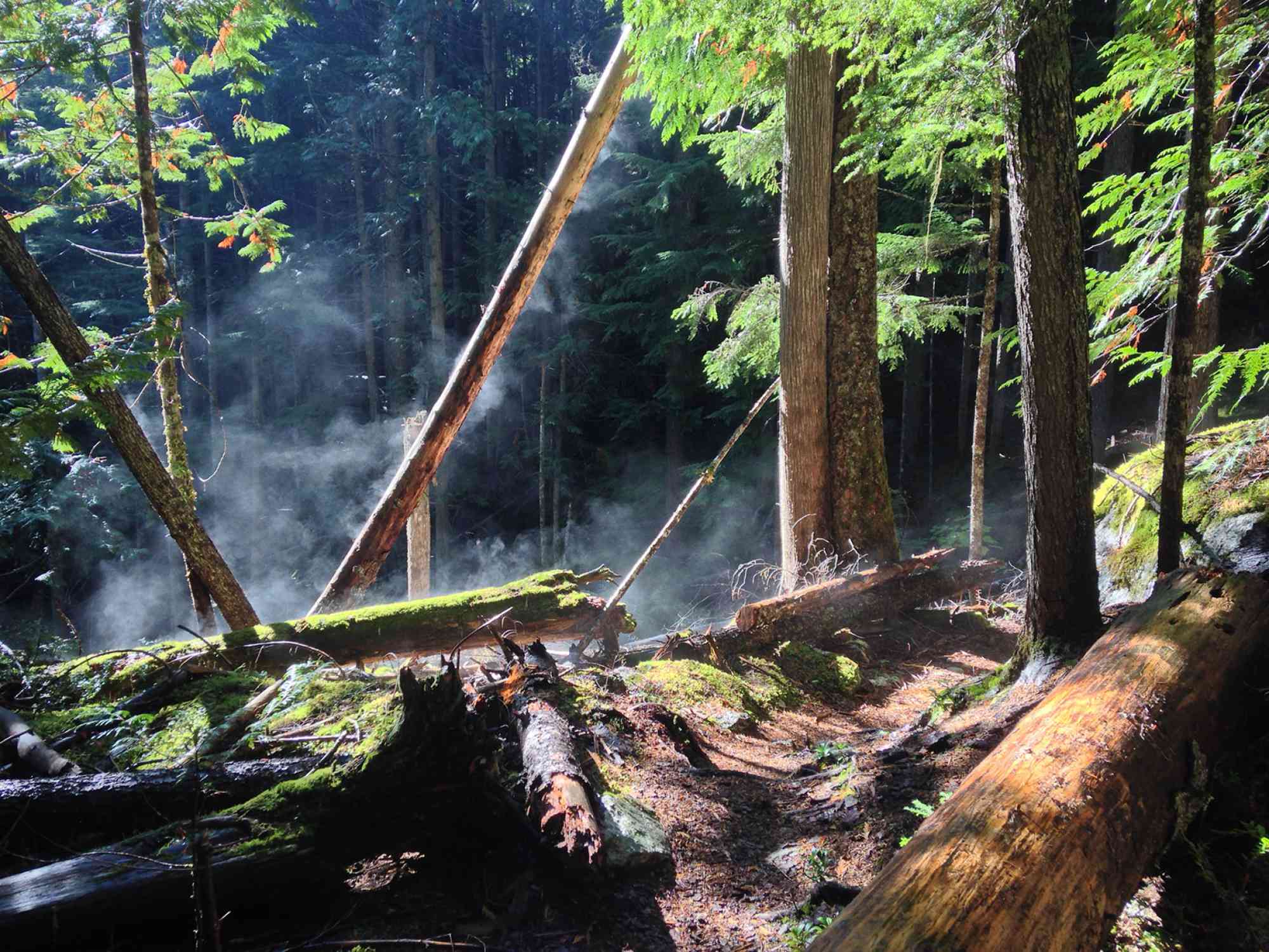
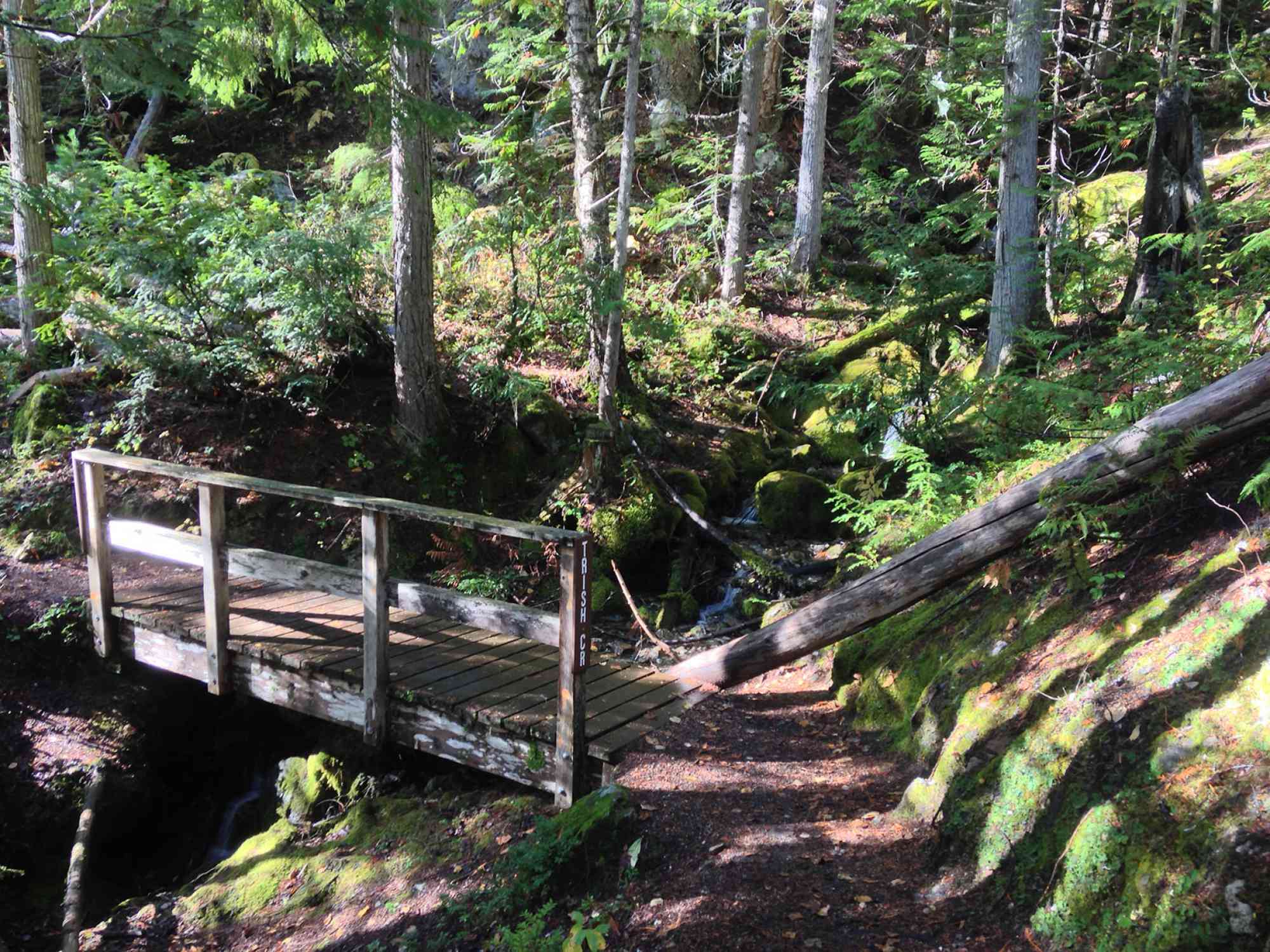
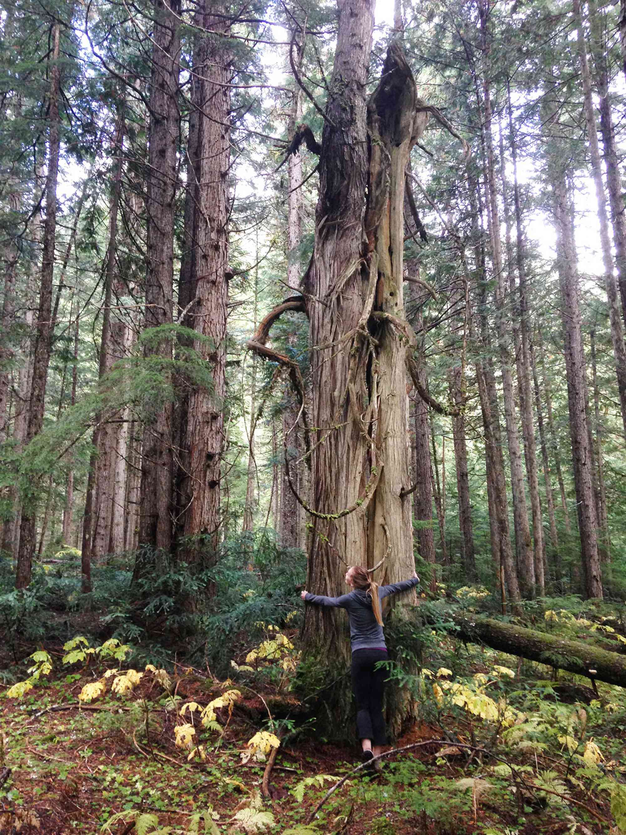
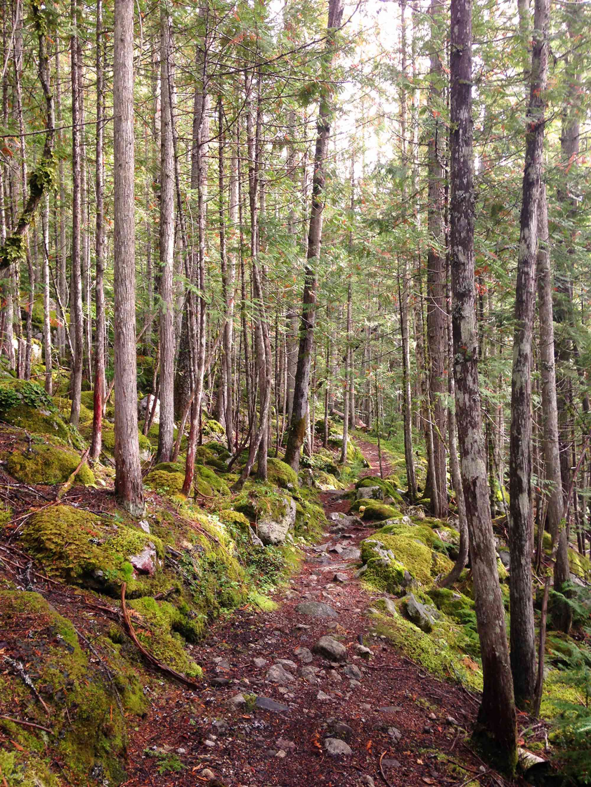
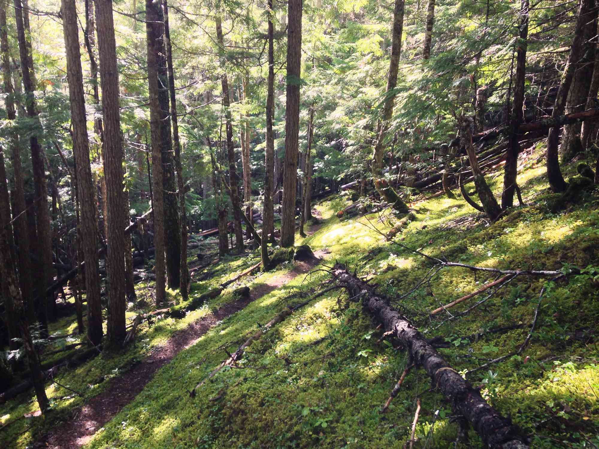
50.503950, -118.360535The Spectrum Lake trail meanders through the foothills of Mt. Fosthall, and offers a vast diversity of coast-like flora. Rich green moss coats the entire valley floor, you will cross numerous creeks, and finally wind up at a fantastic well-furnished campsite right on the lake with views of the entire mountain range.
Route
Kids & Pets
Features
Address
Driving Time
From Frank's General Store in Cherryville, BC, approximate travel time by car is 55 min.
Notable GPS Co-ordinates
Detailed Directions
1) Drive to Vernon, BC from downtown Kelowna.
2) Take RIGHT on Highway 6 and then bear right to stay on Highway 6.
3) Around the 50 km marker since the turn in Vernon, turn LEFT at Frank's General Store in Cherryville onto "Sugar Lake Rd"
4) RESET ODOMETER
5) At 13.6 km, the road becomes gravel.
6) At 16.6 km, cross the bridge over Sugar Lake. The road now becomes "Shuswap FSR"
7) At 38.2 km TURN RIGHT with signs for Monashee Provincial Park via "Spectrum Creek FSR"
8) At 39.4 km, keep right to stay on main rd (following signs)
9) At 42.3 km, keep right. Alternatively, a short 1 km drive + 10 min hike to Rainbow Falls is on your left.
10) At 43.5 km, keep left to stay on main rd (following signs)
11) At 44 km, keep left to stay on main rd (following signs)
12) At 45.6 km, keep left to stay on main rd (following signs)
13) At 51.7 km, arrive at the parking lot with map and signage for Monashees Provincial Park.
Google Directions
Use our written directions in preference to the Google directions below as they are likely more accurate.
We have a downloadable GPS map for this trail!
Last Updated on Thursday, March 23, 2023
Need help using it? See our FAQ.Map Waypoints
GPS Notes
This is a great walk to a pristine lake. The drive on the dirts road is a little longer at the moment due to loose rocks caused by a lot of log truck activity.
Tuesday, July 17, 2018 at 9:09 AMLeave a comment
You must Login to post a comment!