
McKinley Mountain Park
McKinley Mountain Park
McKinley
20 min from Downtown Kelowna
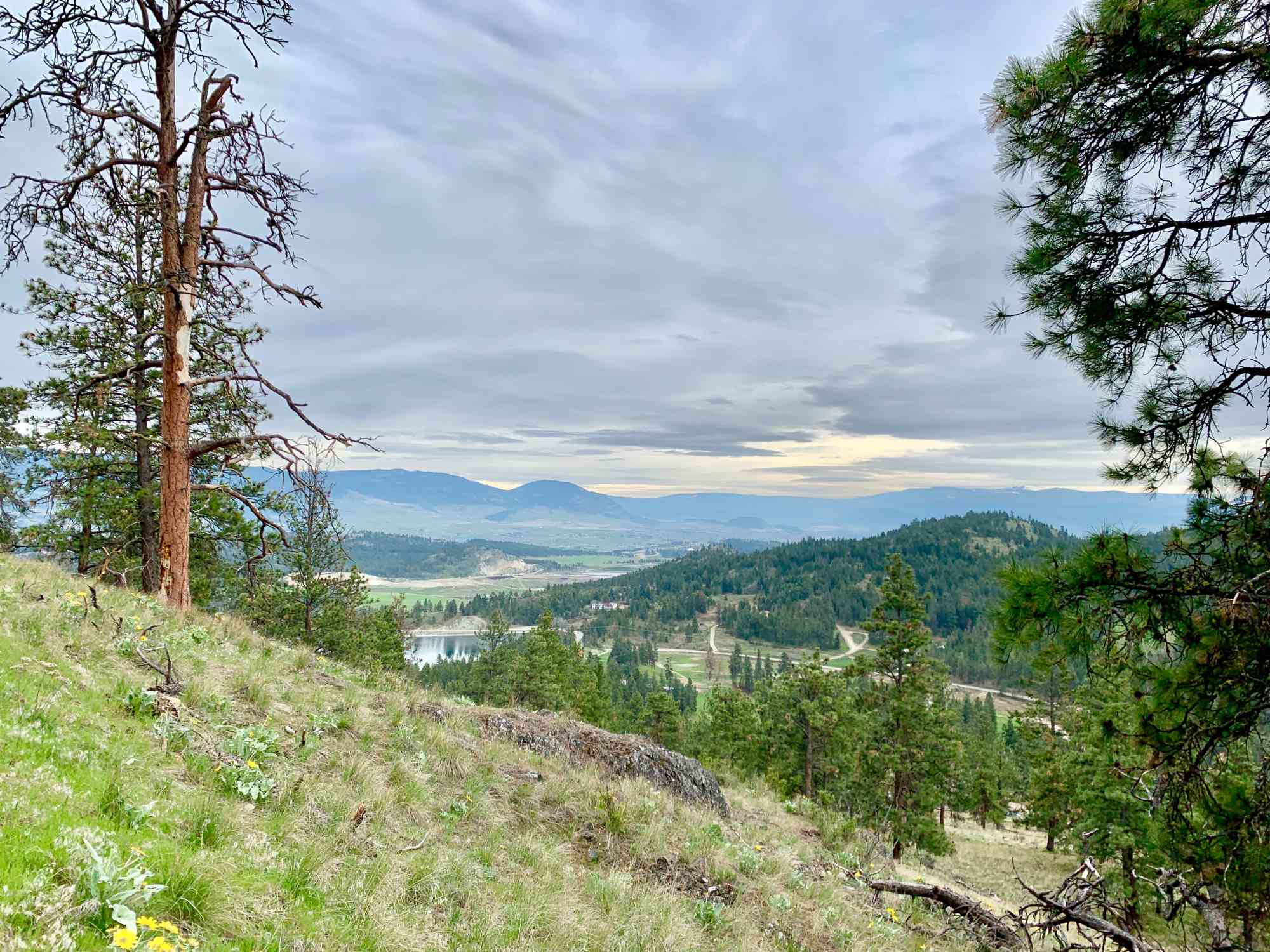
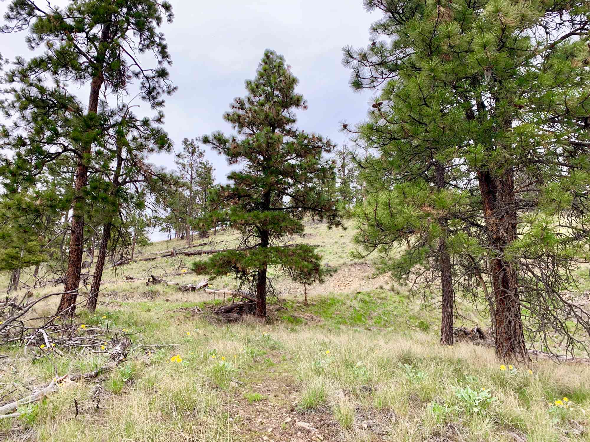
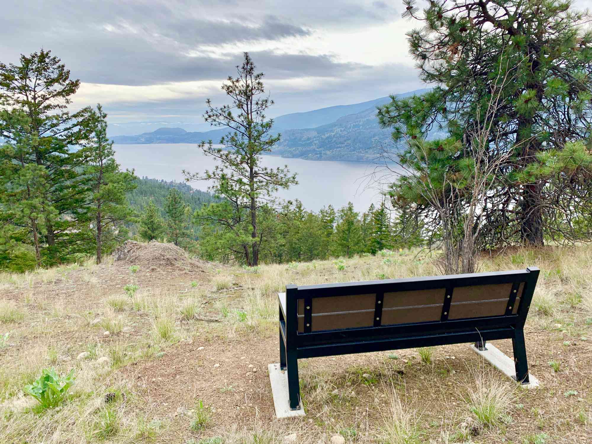
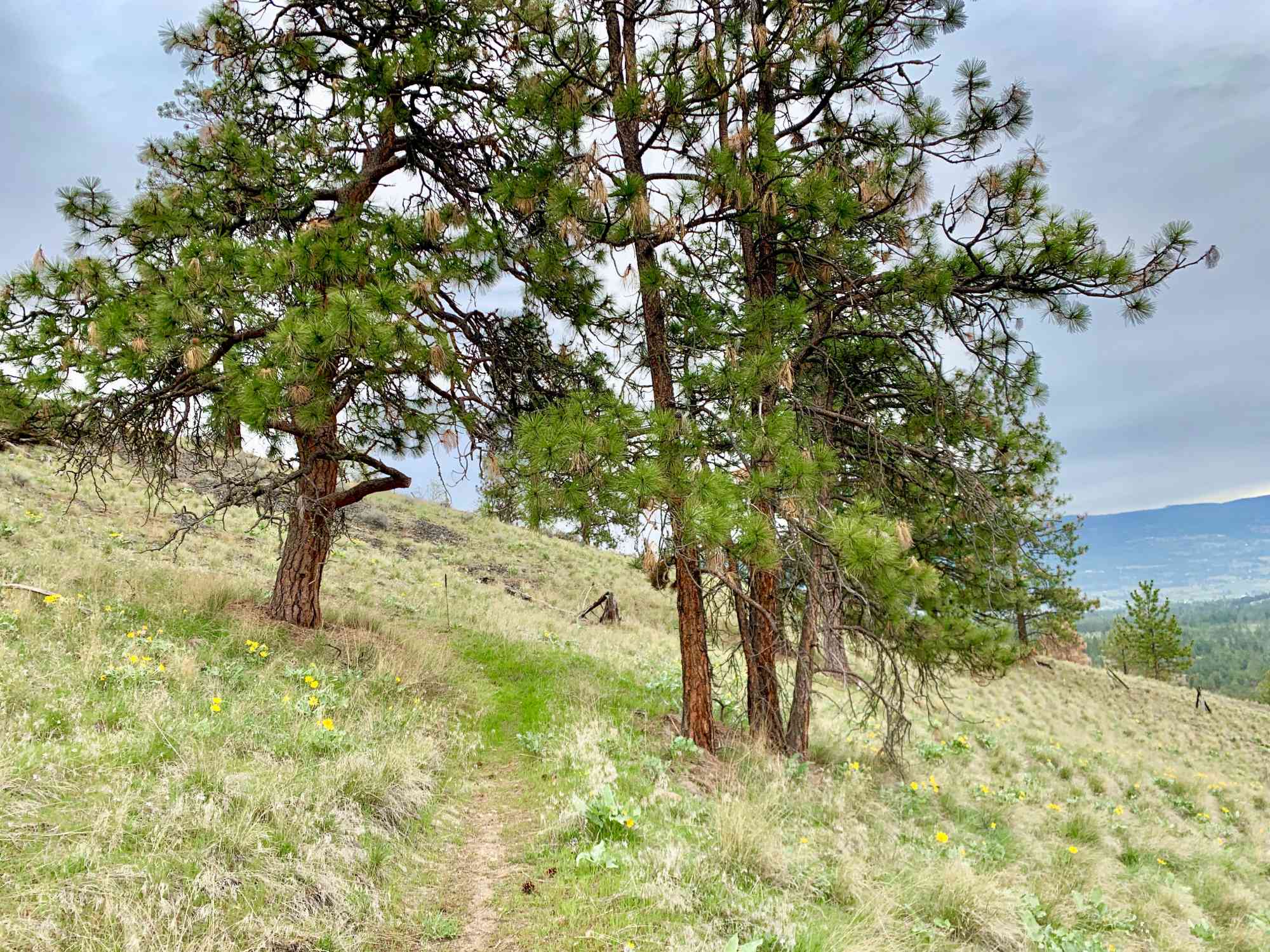
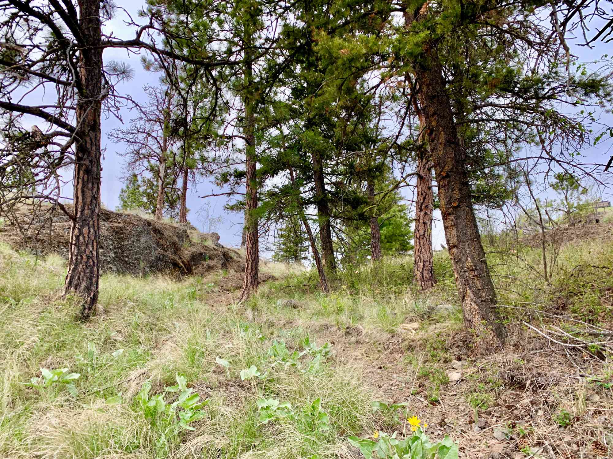
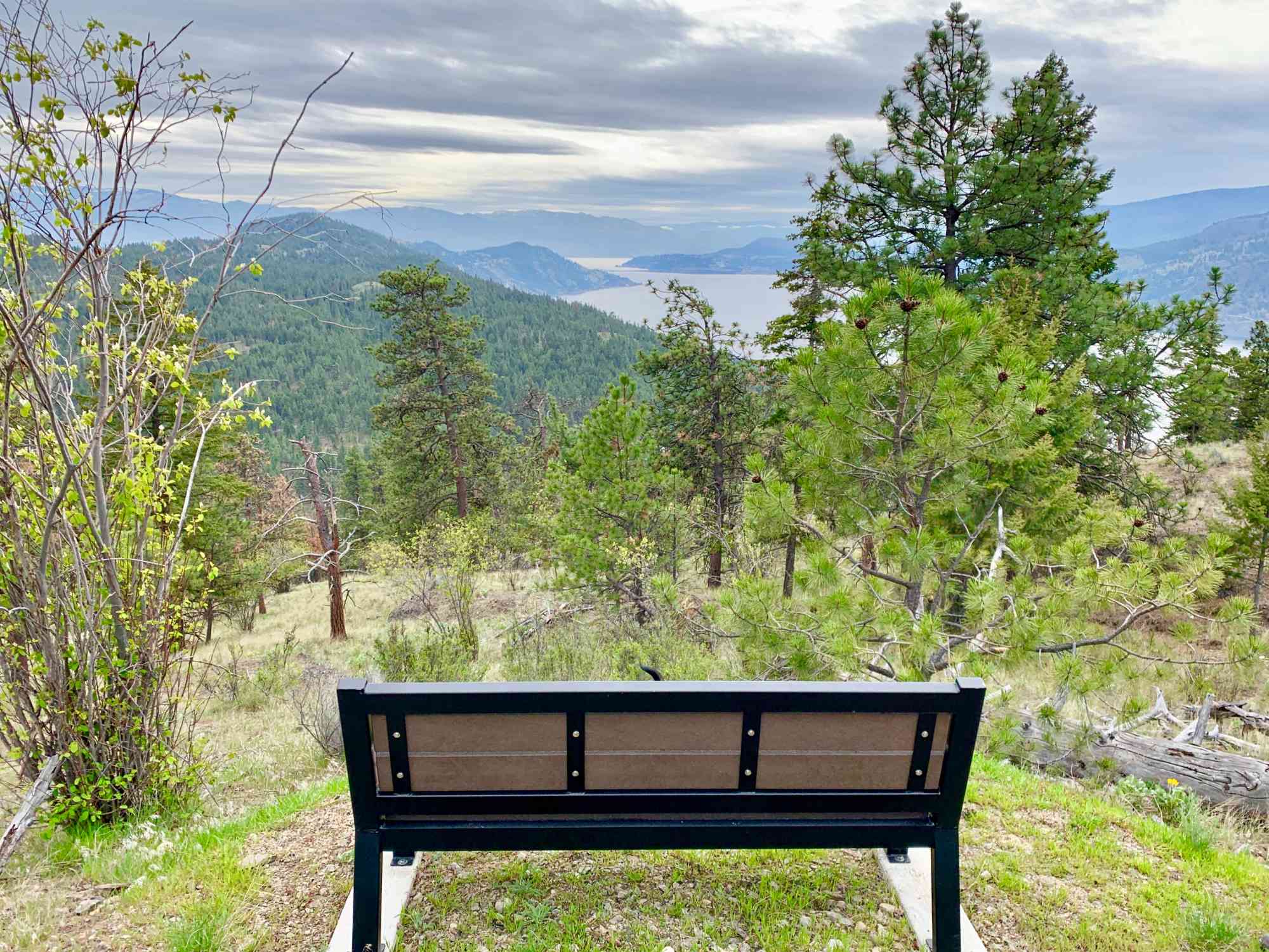
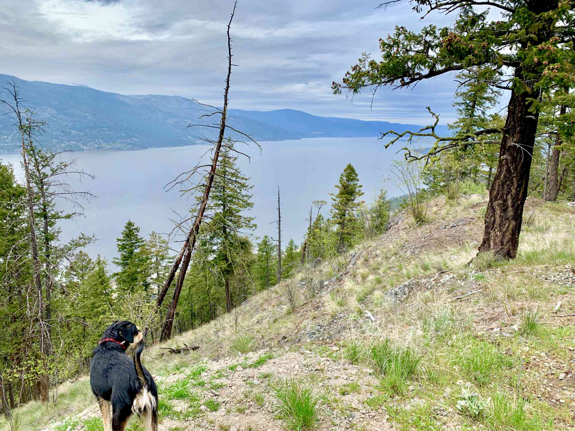
1775 Shayler Pl, Kelowna, BC V1V 2R1This short and easy to follow trail loops atop McKinley Mountain for views of Okanagan Lake. Numerous benches are available near the summit.
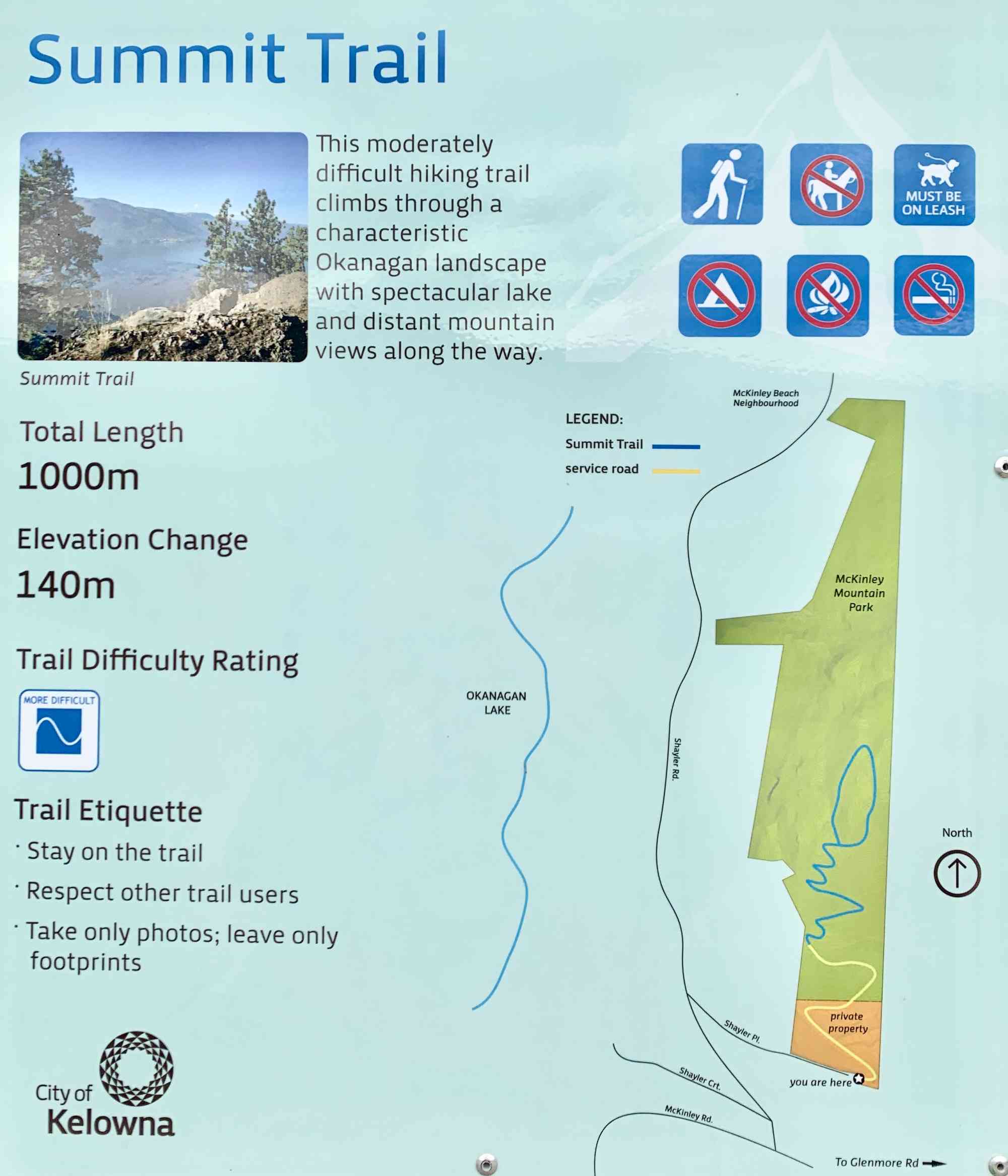
Route
Kids & Pets
Features
Address
Driving Time
From Downtown Kelowna, approximate travel time by car is 20 min.
Notable GPS Co-ordinates
Detailed Directions
2) Turn LEFT on Spall/Glenmore Dr.
3) After the Glenmore Landfill, turn LEFT onto McKinley Rd.
4) Turn RIGHT onto Shayler Rd
5) Turn RIGHT onto Shayler Pl and park at the end of the cul-de-sac where the trail map is.
Google Directions

Duration Calculator
The metrics for this trail have been converted to round-trip formation for distance and elevation gain/descent if necessary.
Estimated Time:
-- hours
We have a downloadable GPS map for this trail!
Last Updated on Sunday, January 26, 2025
Need help using it? See our FAQ.Map Waypoints
GPS Notes
Leave a comment
You must Login to post a comment!