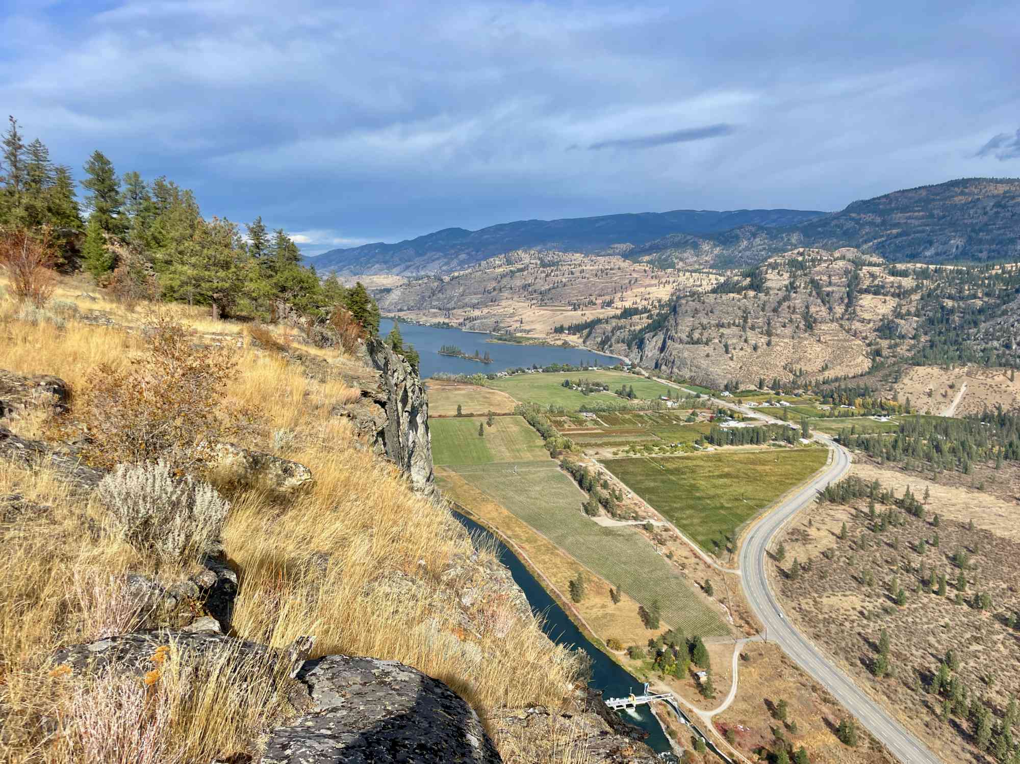
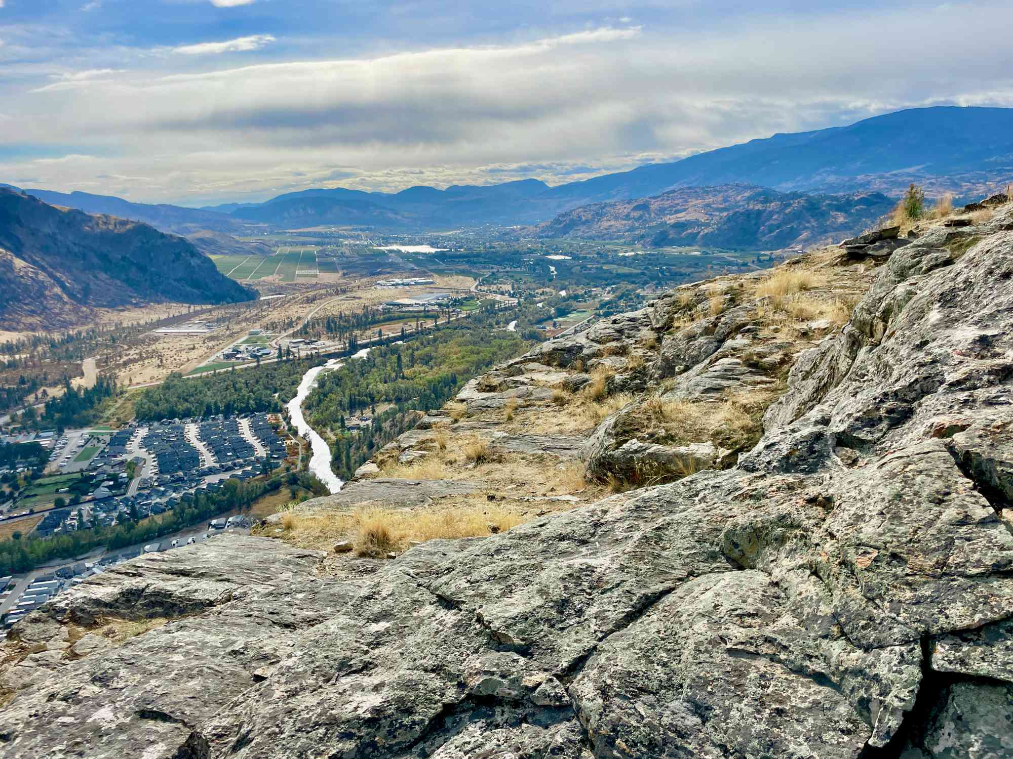
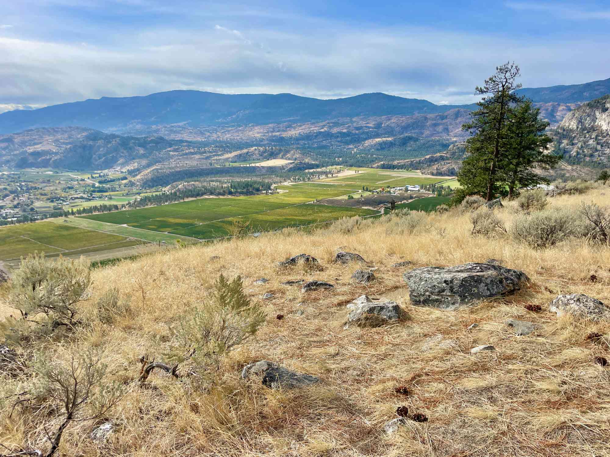
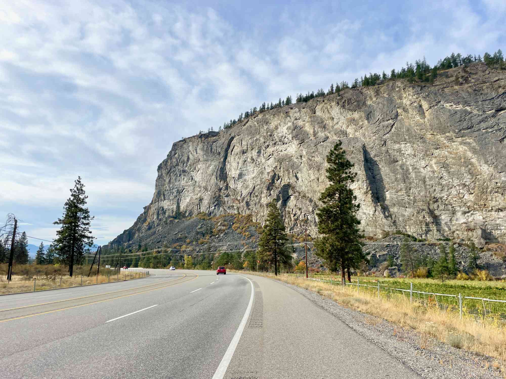
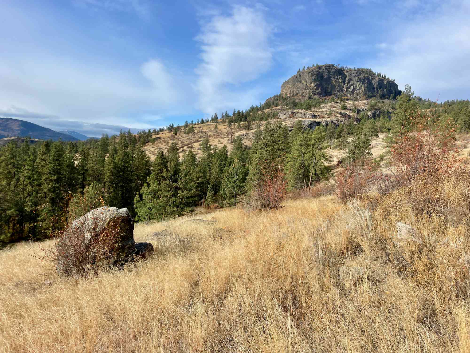
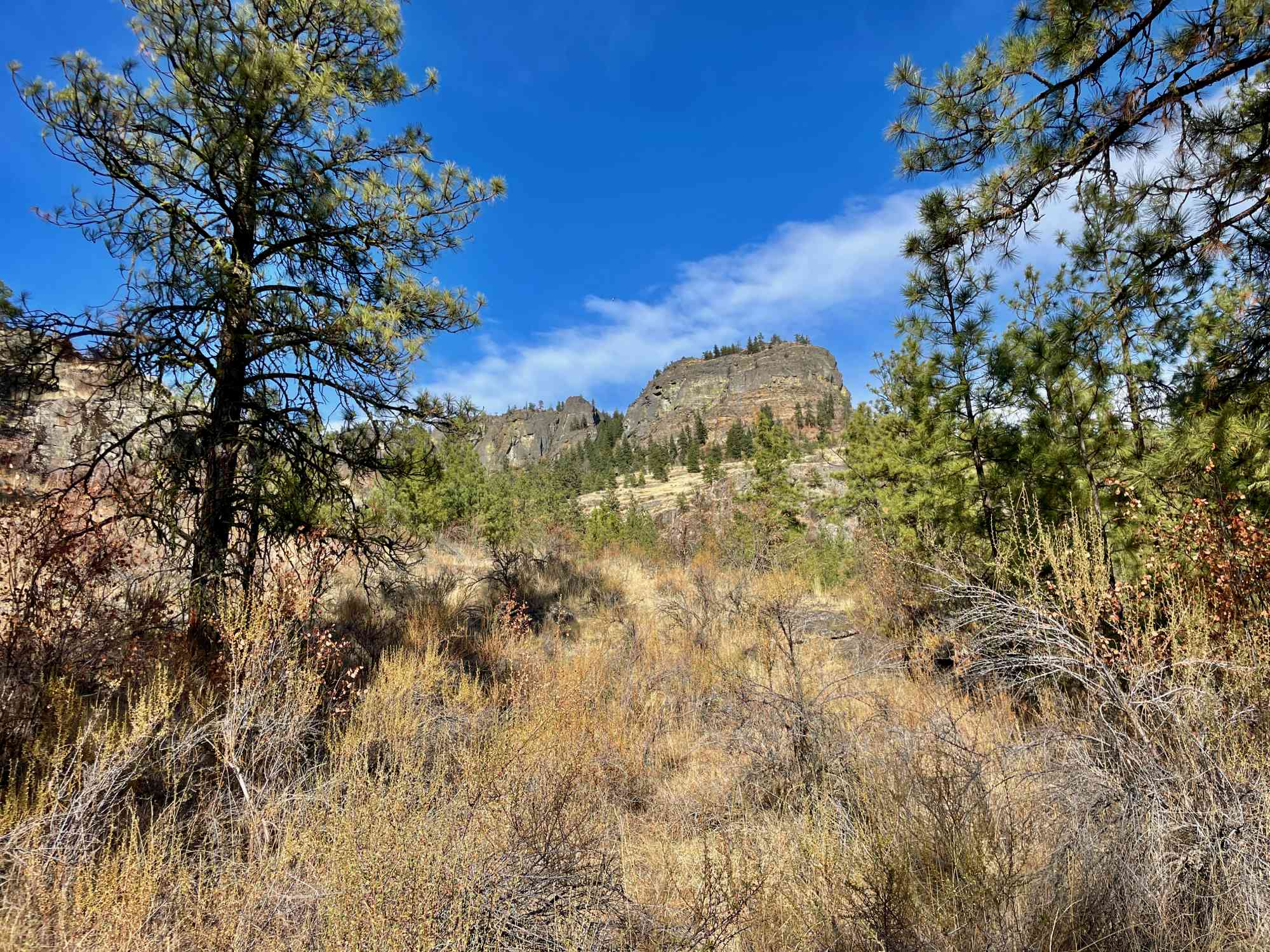
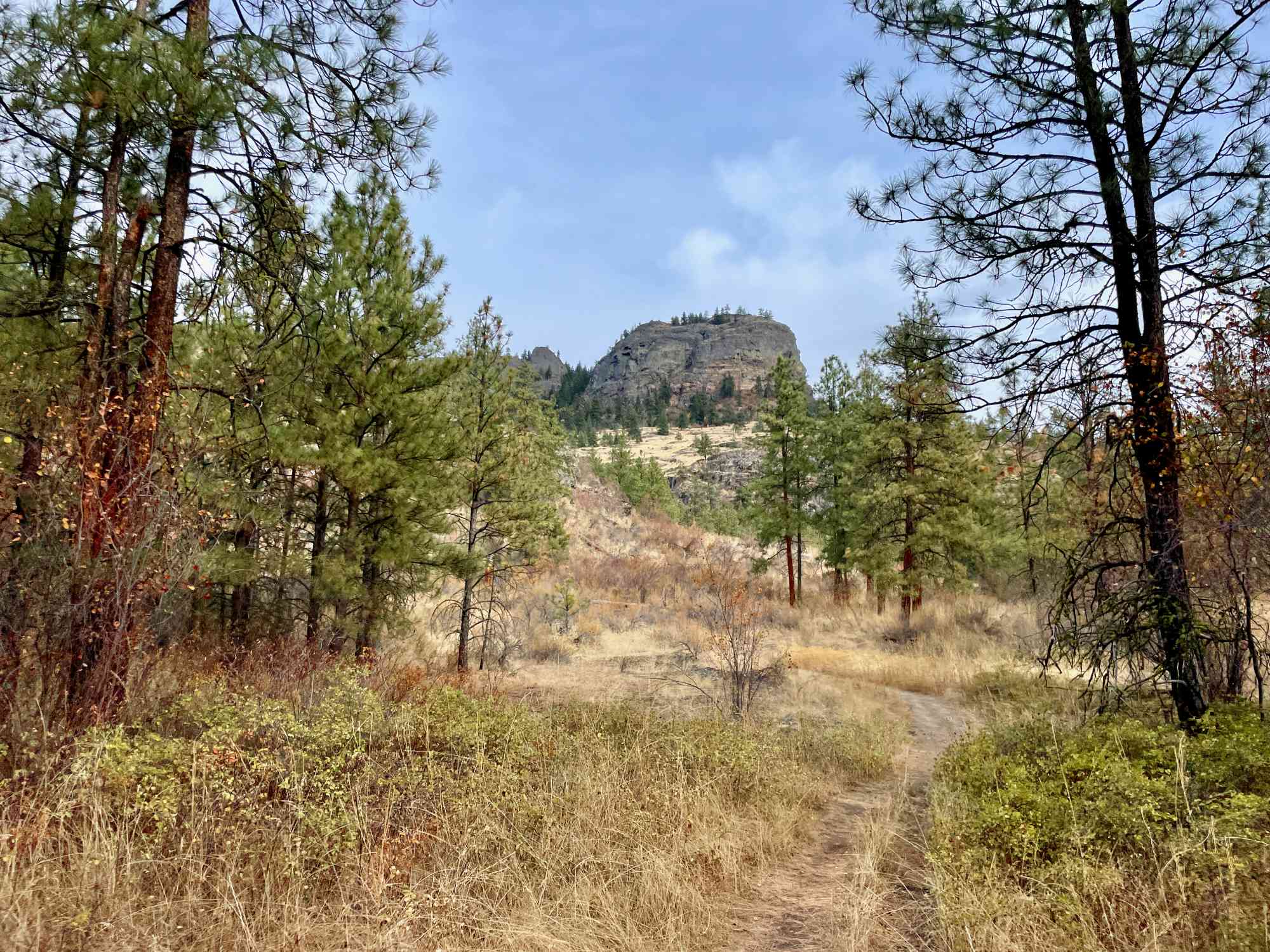
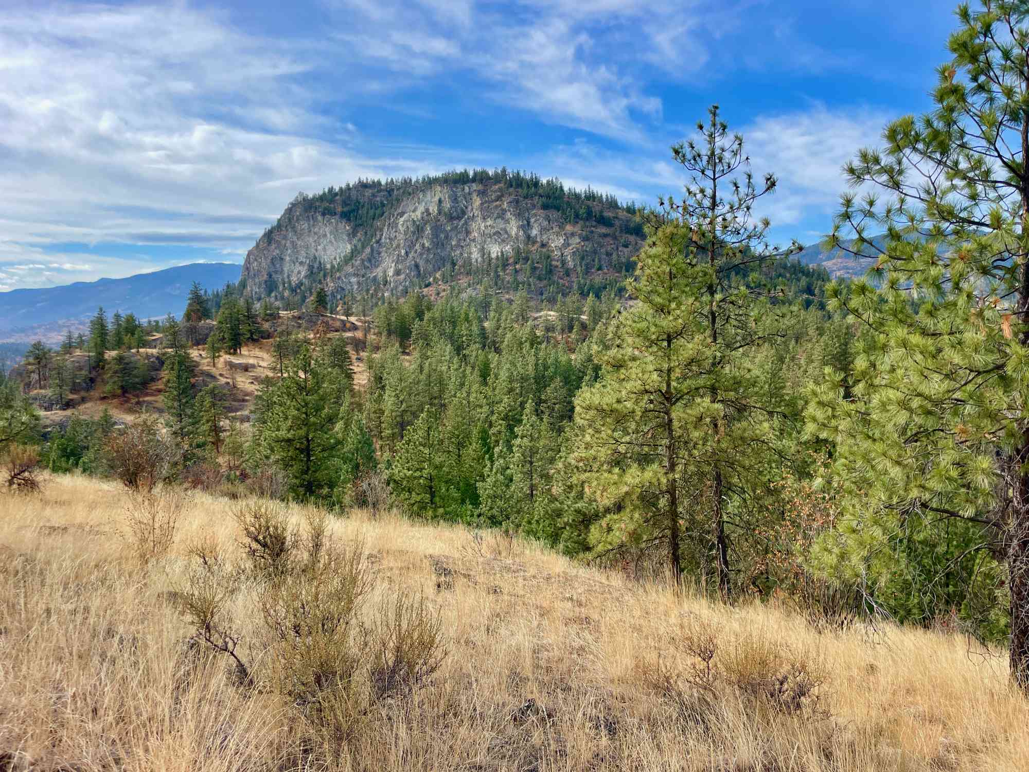
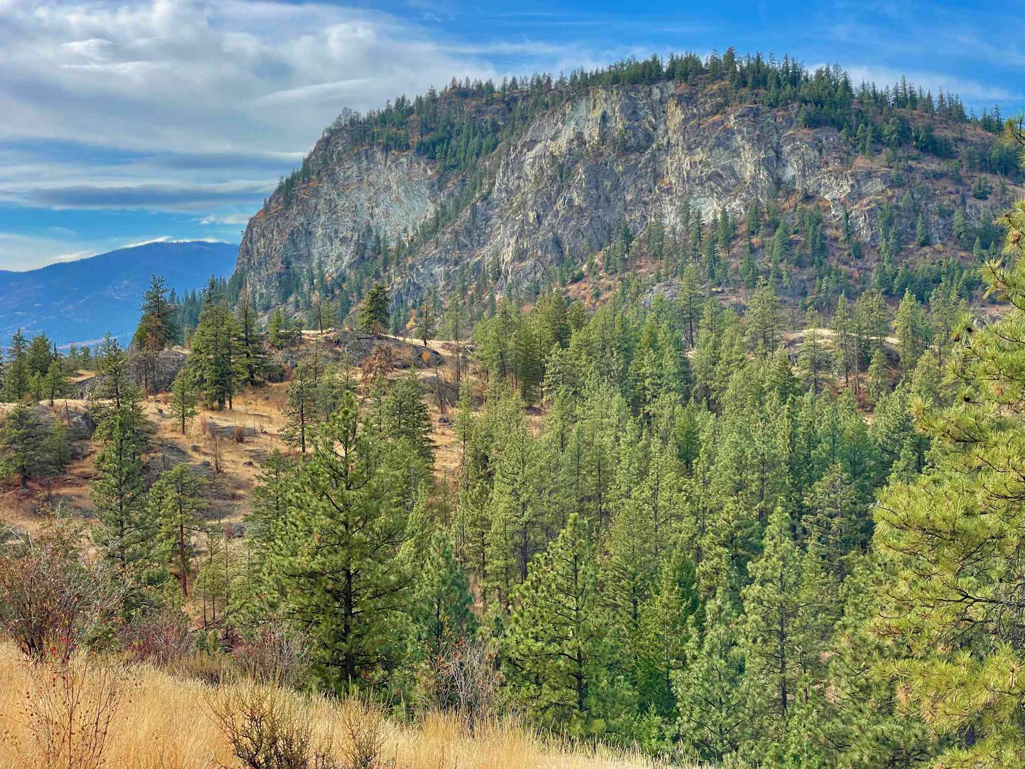
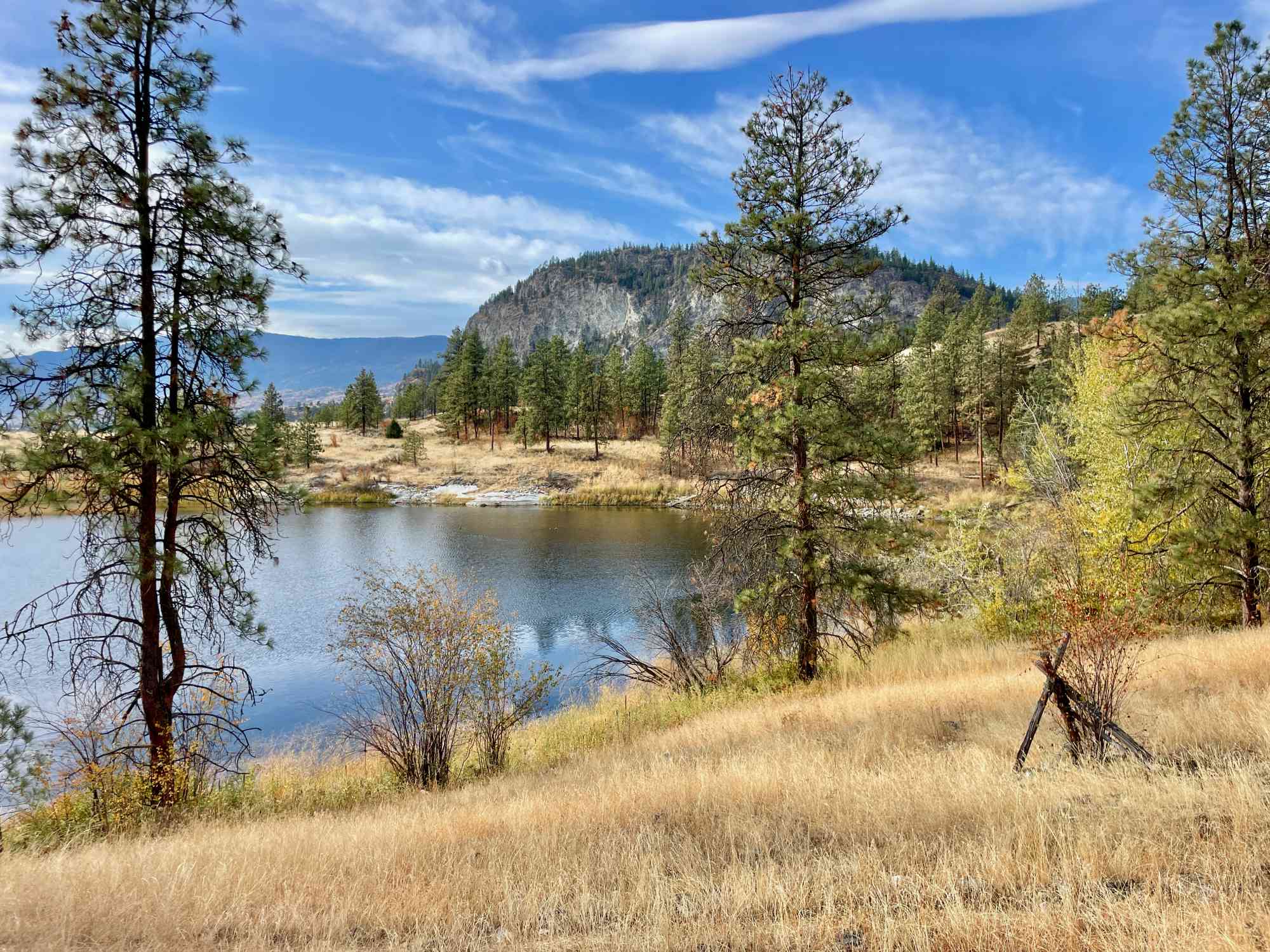
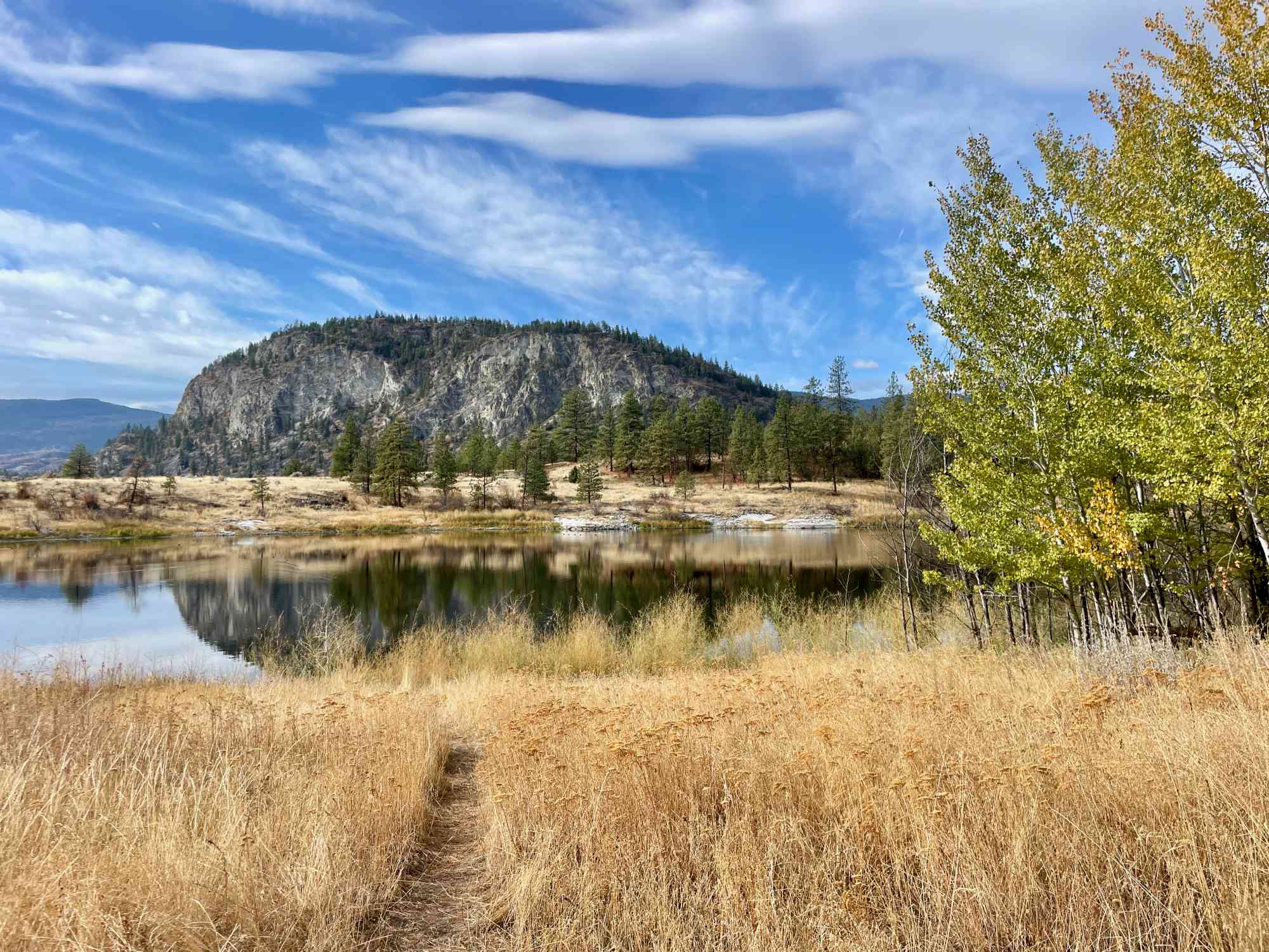
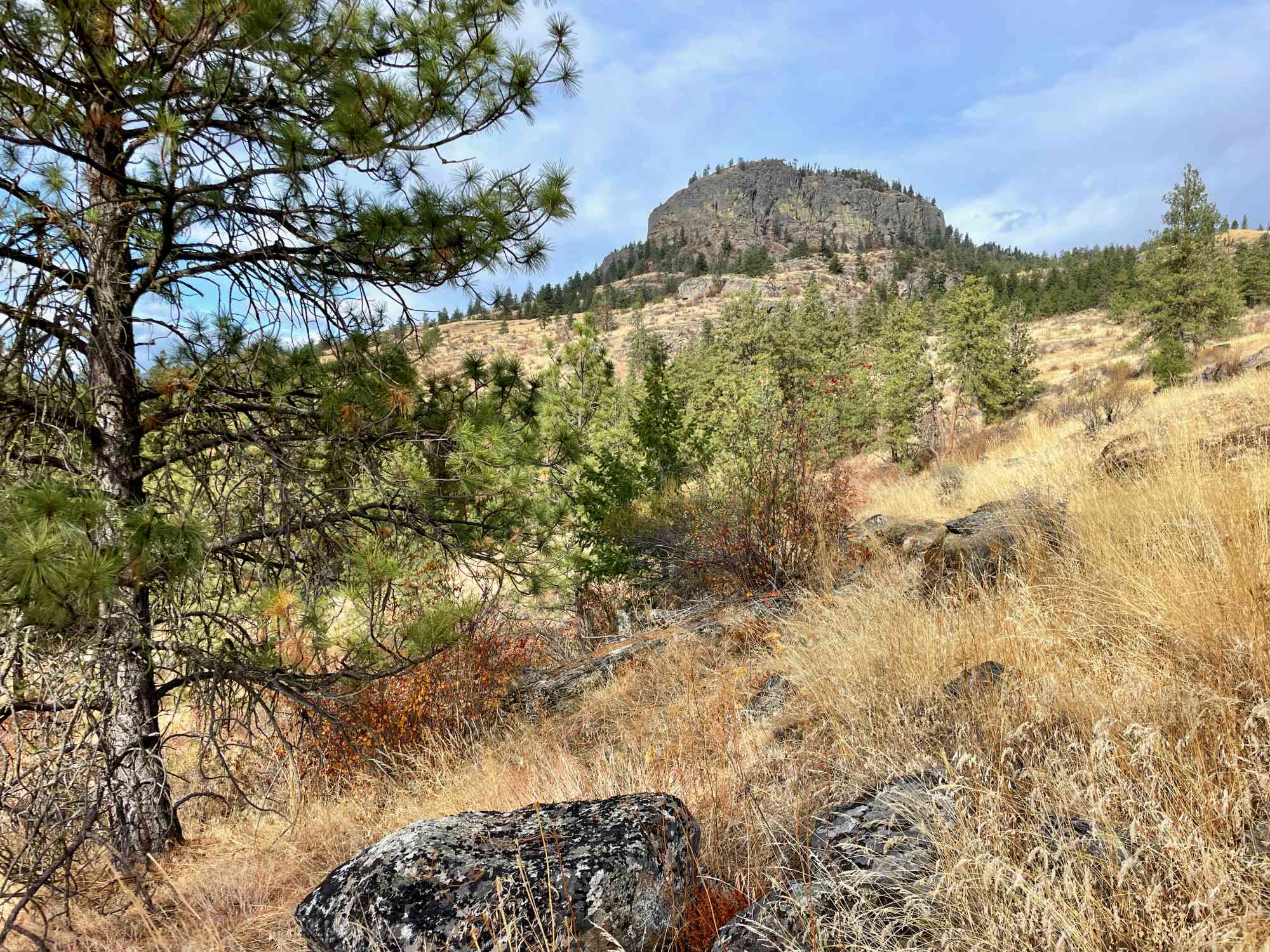
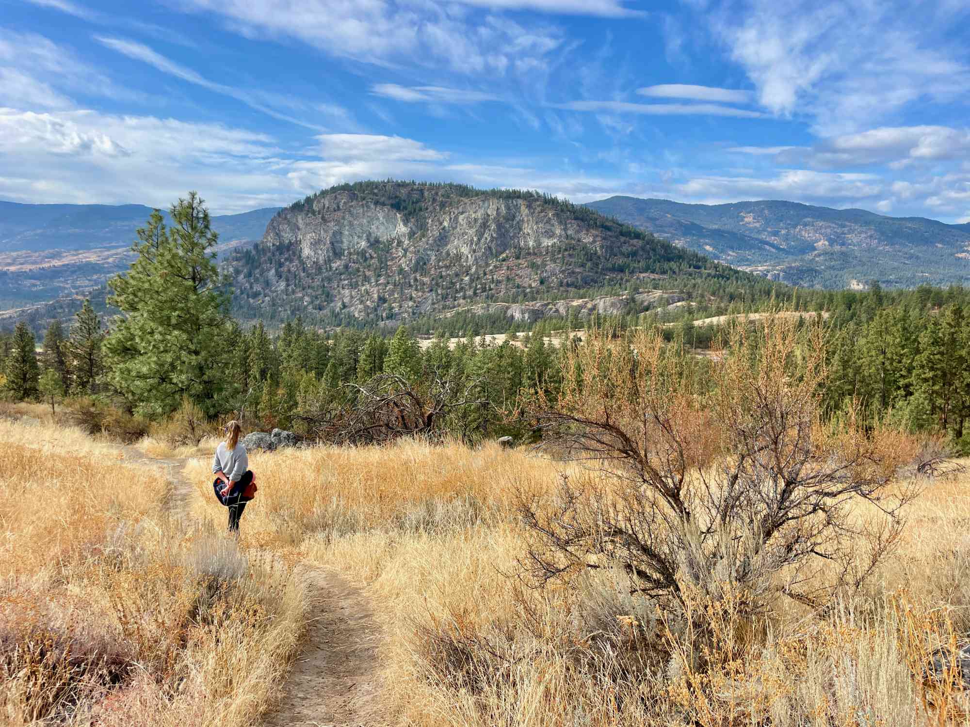
McIntyre Bluff

Oliver

33 min from Downtown Penticton
589 Johnson Crescent, Cawston, BC V0X 1C0

Meander through rolling hills to a stunning visa overlooking Vaseux Lake

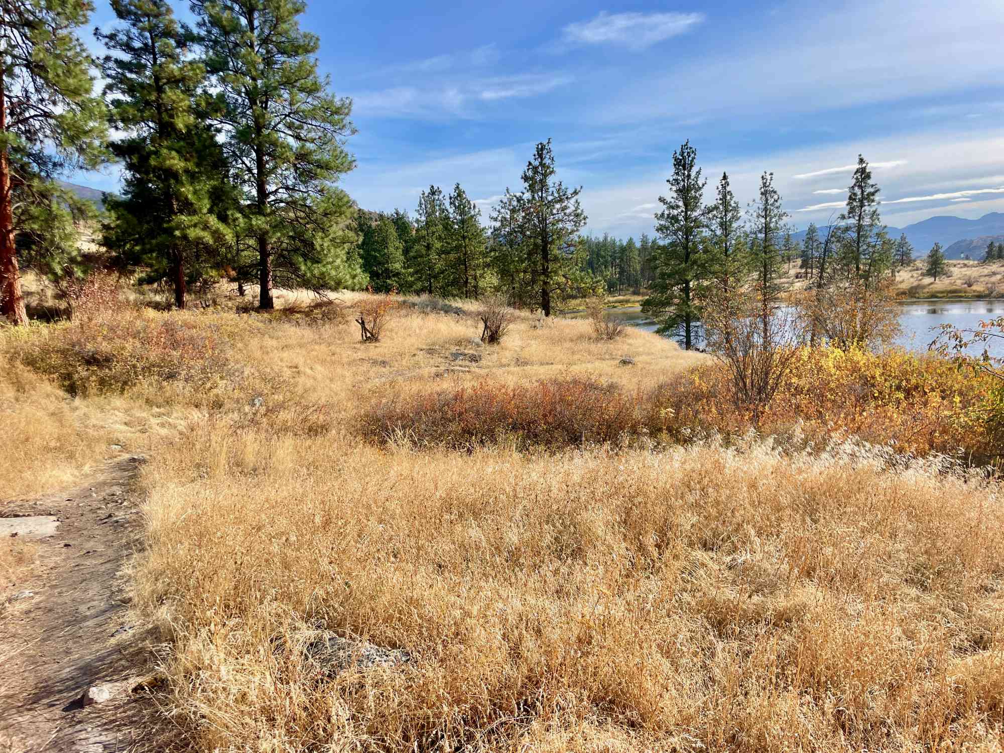
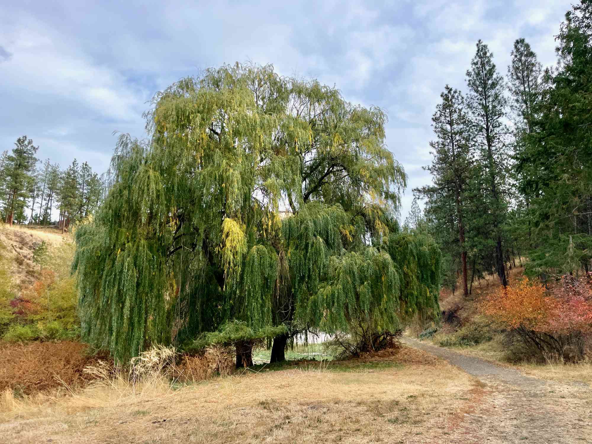
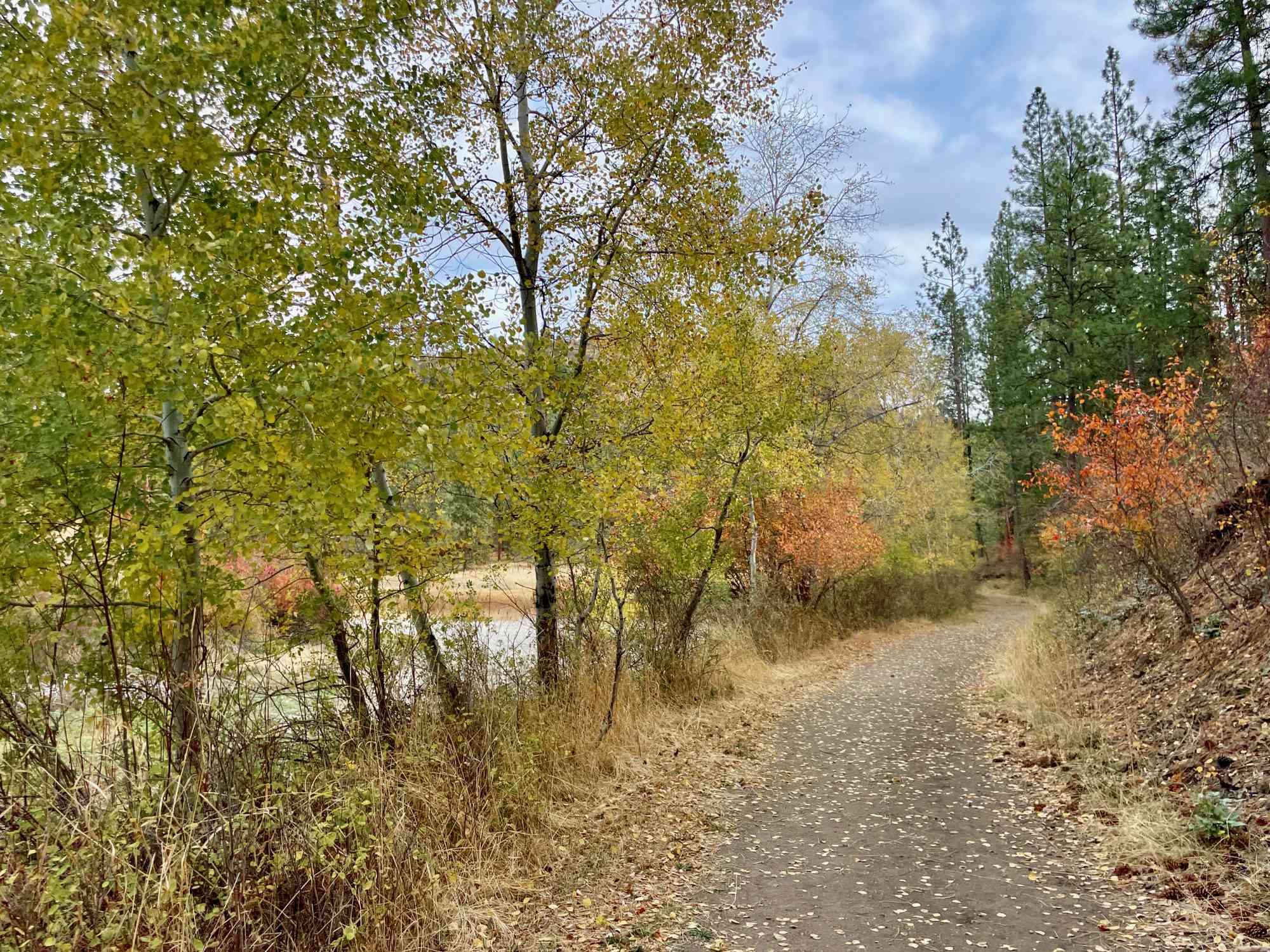
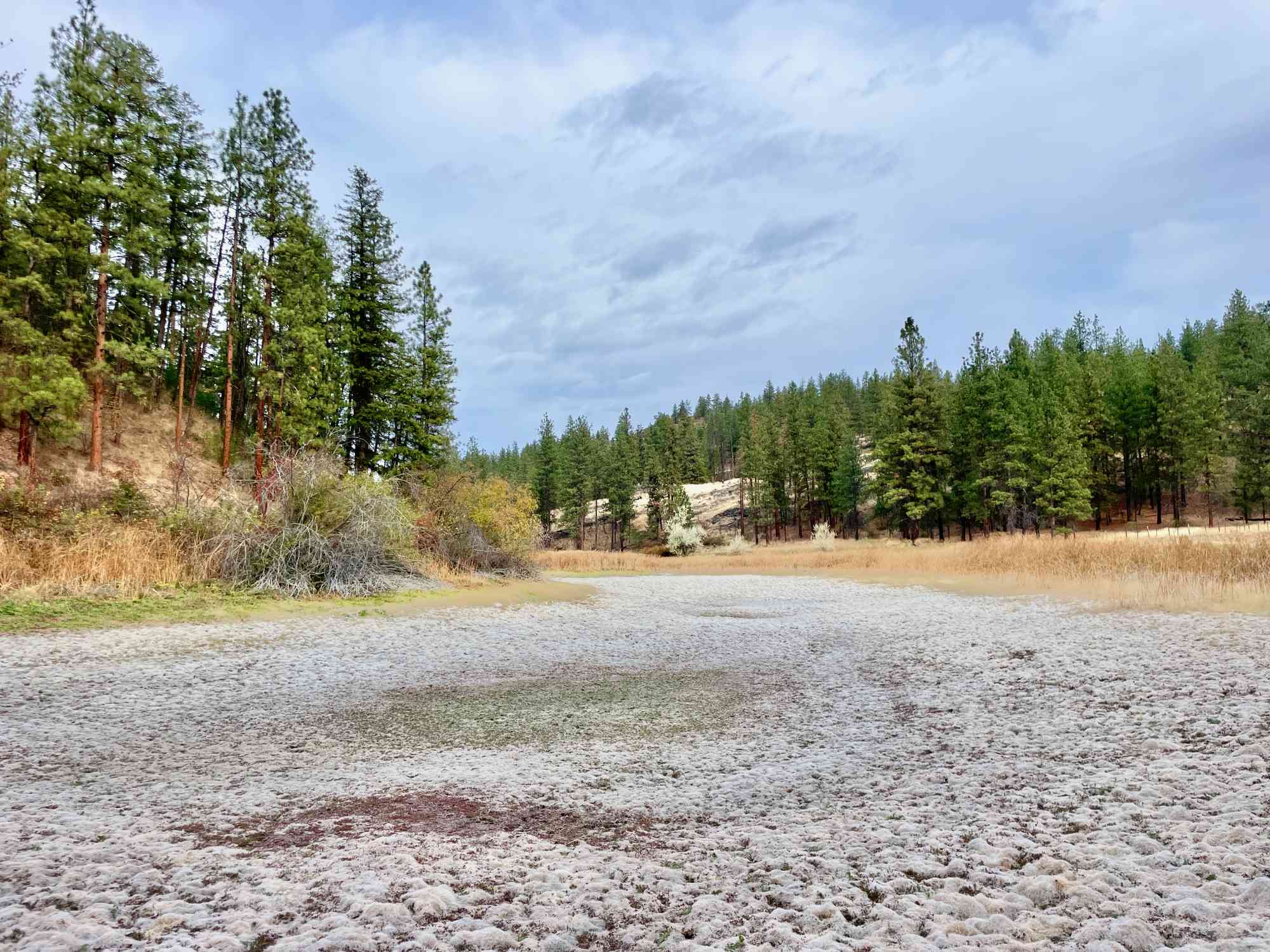
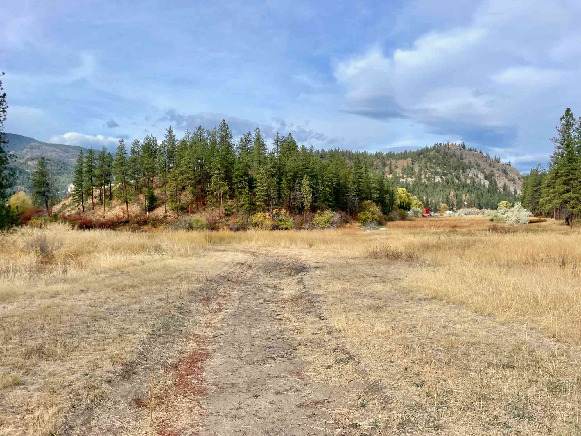
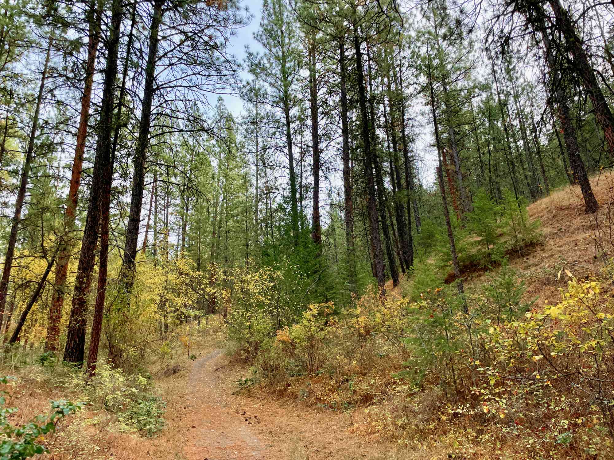
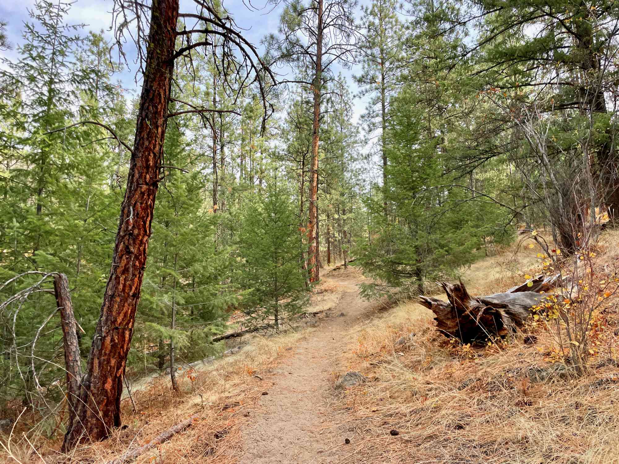
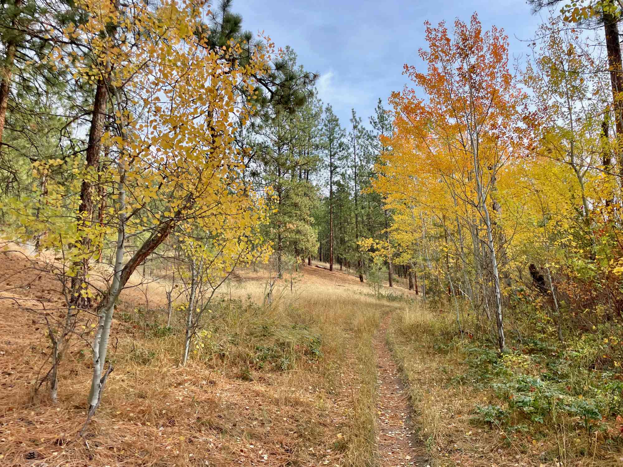
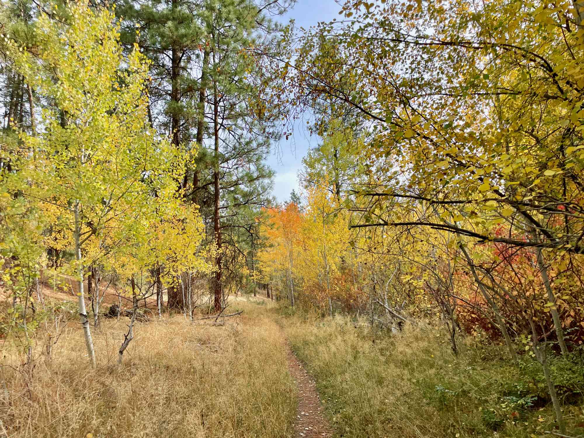
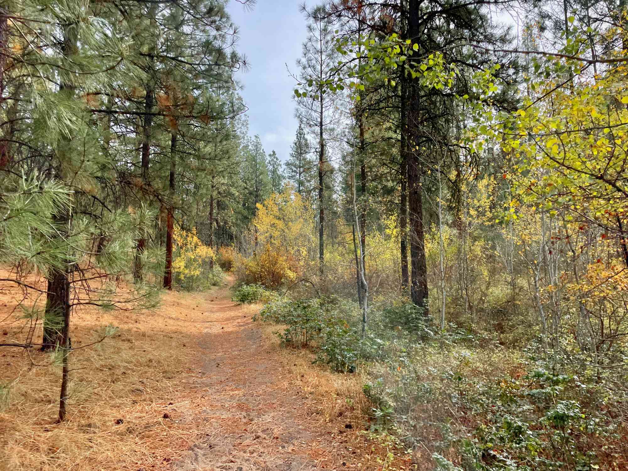
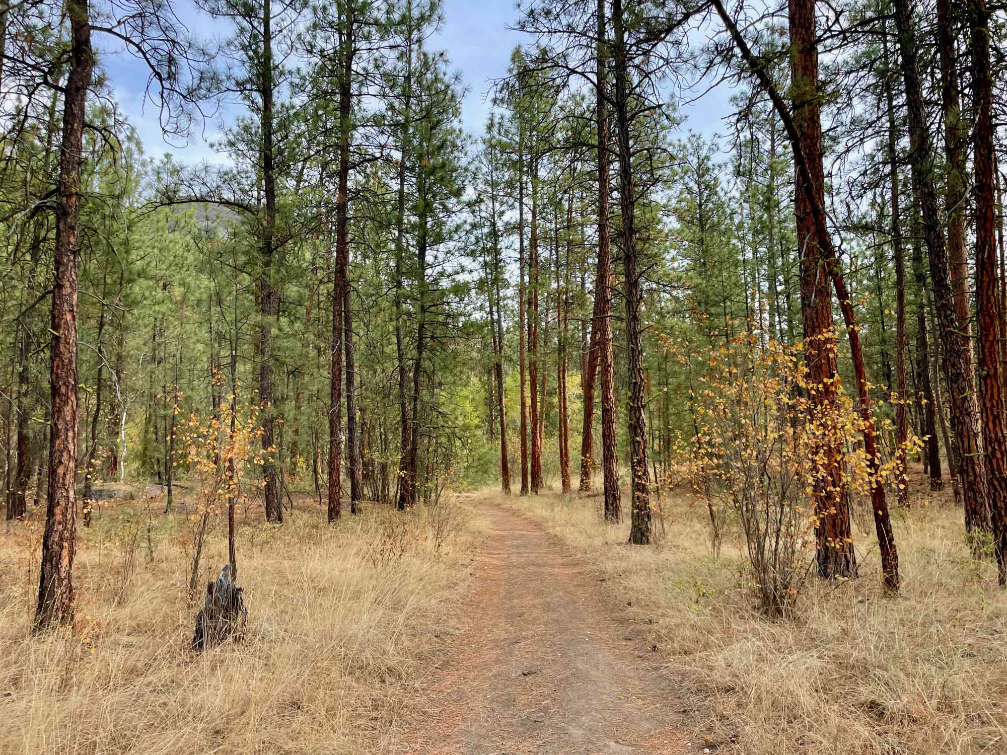
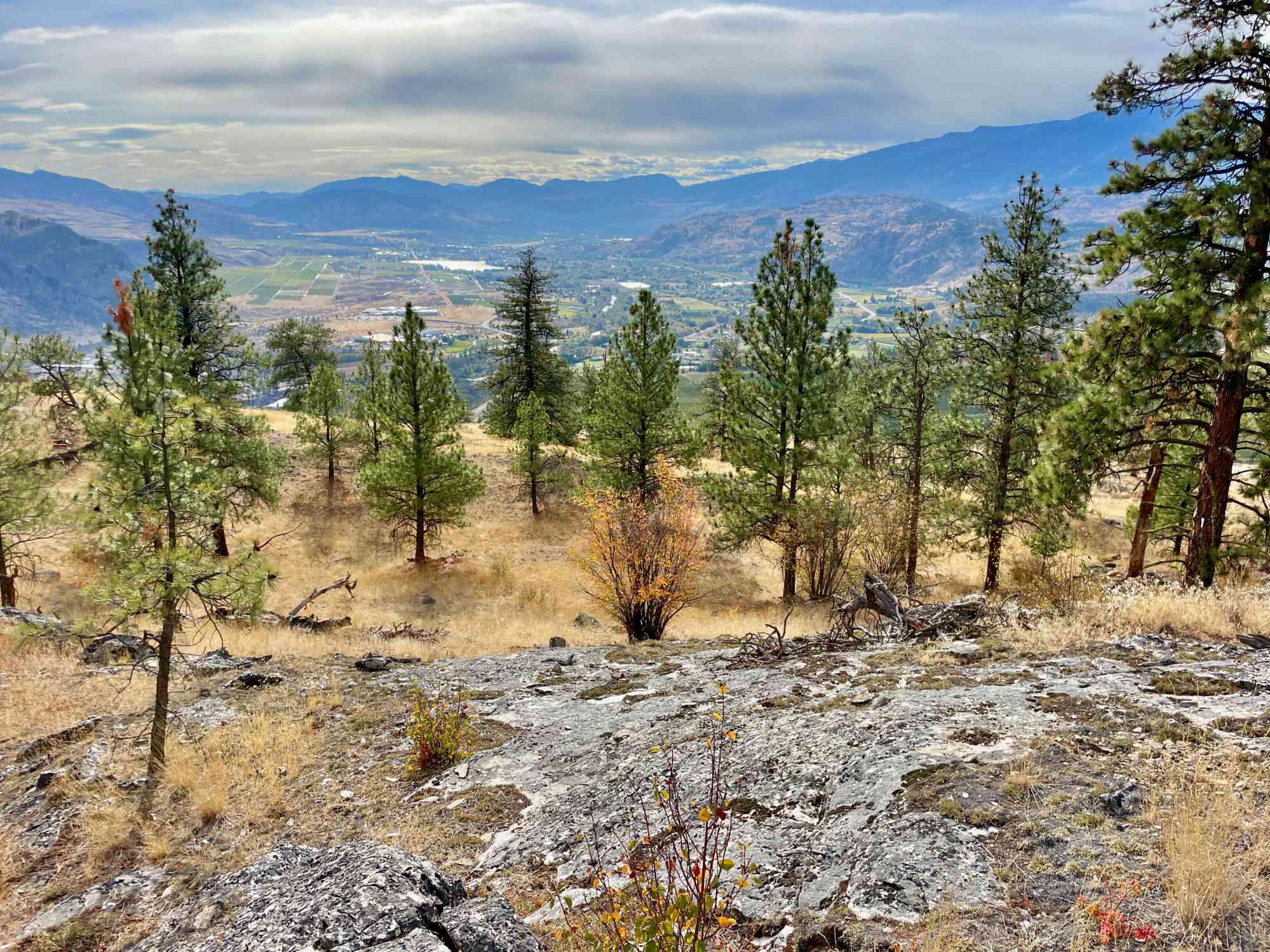
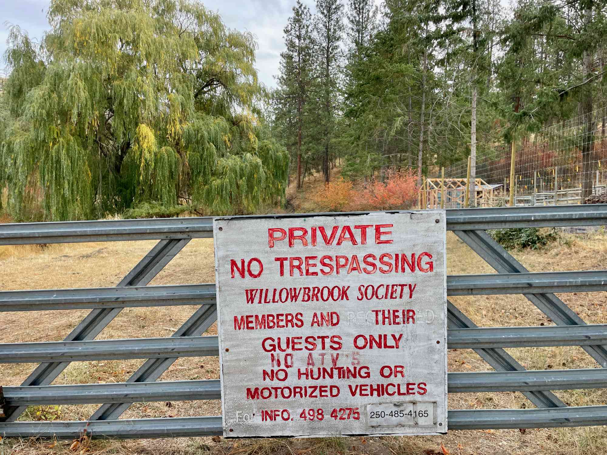
Meander through rolling hills to a stunning visa overlooking Vaseux Lake. Great for all-season hiking. Resides on the Willowbrook Community Society property. Non-members are asked to donate $5 in cash at the park entry. Access to the bluff was previously via the nearby winery, but that route is no longer permitted by the business.
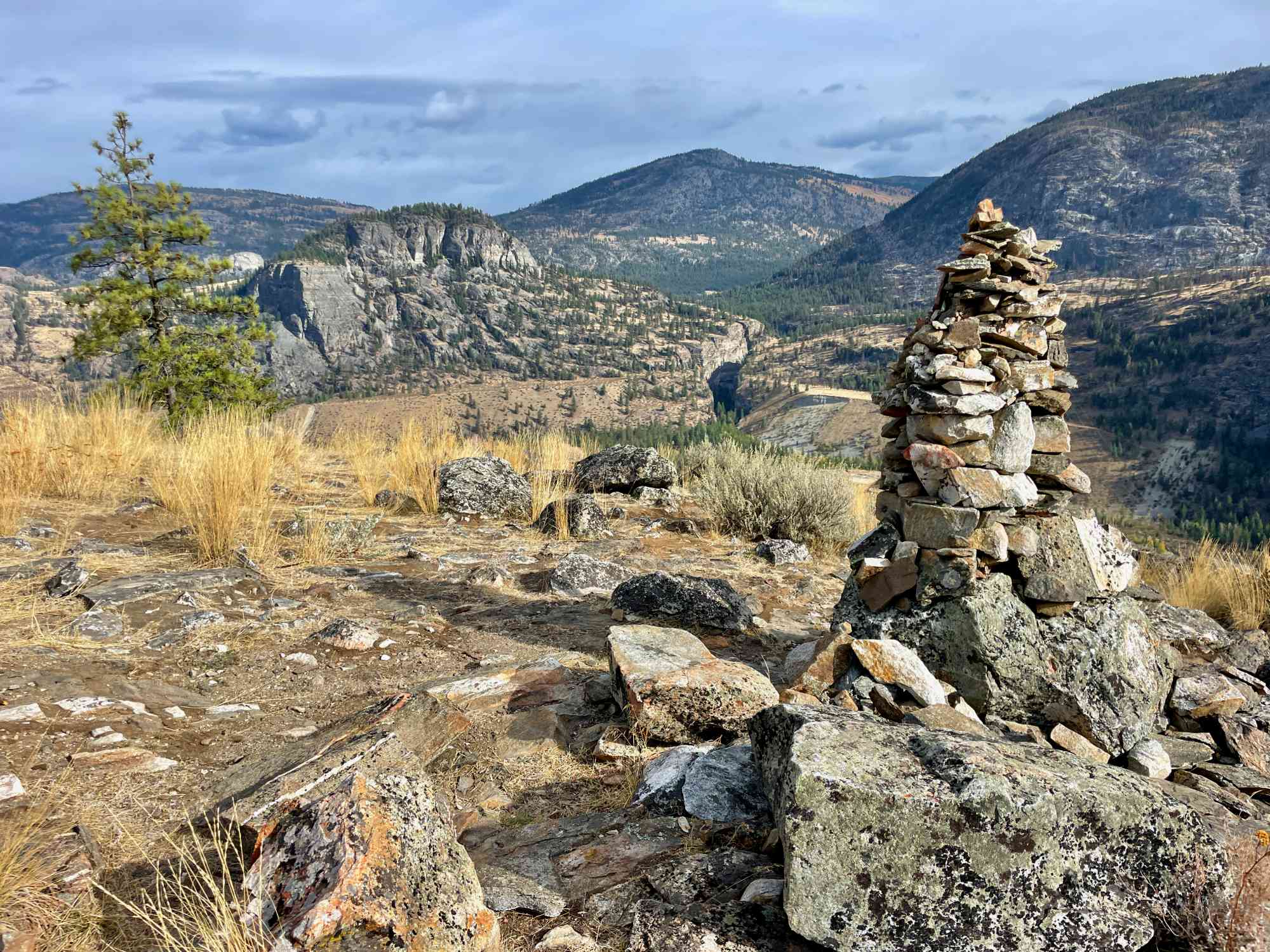
Route
  • Half-Day
  • Average
  • Out & Back Same Way
  • 10.94 km round-trip
  • 3 hr solo
  • 4 hr 14 min group
  • 343 m gain
  • Variable Width
Kids & Pets
  • Child-Friendly

Address

589 Johnson Crescent, Cawston, BC V0X 1C0

Driving Time

From Downtown Penticton, approximate travel time by car is 33 min.

Notable GPS Co-ordinates

Google Directions

Linear Trail
This is a linear (out and back/not a loop) trail; the values below indicate the one-way statistics from the trailhead to the end of the route.
  • Starting Elevation: 445 meters
  • Ending Elevation: 628 meters
  • Maximum Elevation: 667 meters
  • Minimum Elevation: 444 meters
  • Elevation Gain: 343 meters
  • Elevation Loss: -159 meters
  • Slope Up: 9.00%
  • Slope Down: -8.00%

View Full Screen

Map Waypoints

GPS Notes
We have often color-coded our GPX tracks. While it is not always the case, we have tried to use the following convention on our newer maps:

Green/Blue: human-verified by our volunteers.
Purple: overgrown trail, bushwhack, or on private property.
Red: default color or not reality-checked
Yellow: Road
Other Colors: May have been satellite traced or imported from third party sources.

While we strongly believe our GPS are accurate, please be aware that no logging system is perfect and to be aware of potential errors. Use at your own risk.
There are currently no user comments.

Leave a comment

You must Login to post a comment!

Share this Trail