
McConnell Lake: Basalt Bluffs Loop
McConnell Lake: Basalt Bluffs Loop
Lac le Jeune
25 min from Downtown Kamloops
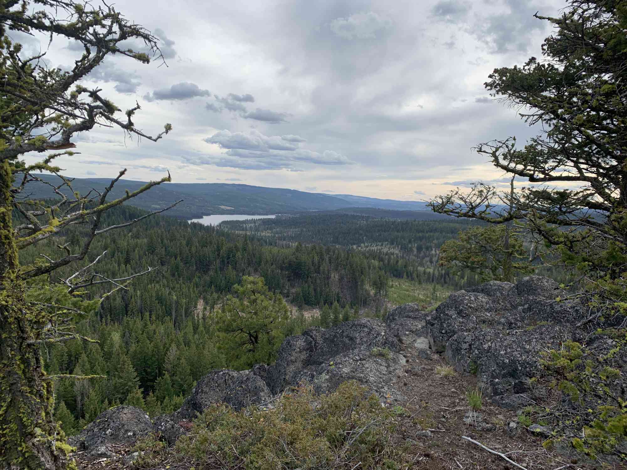
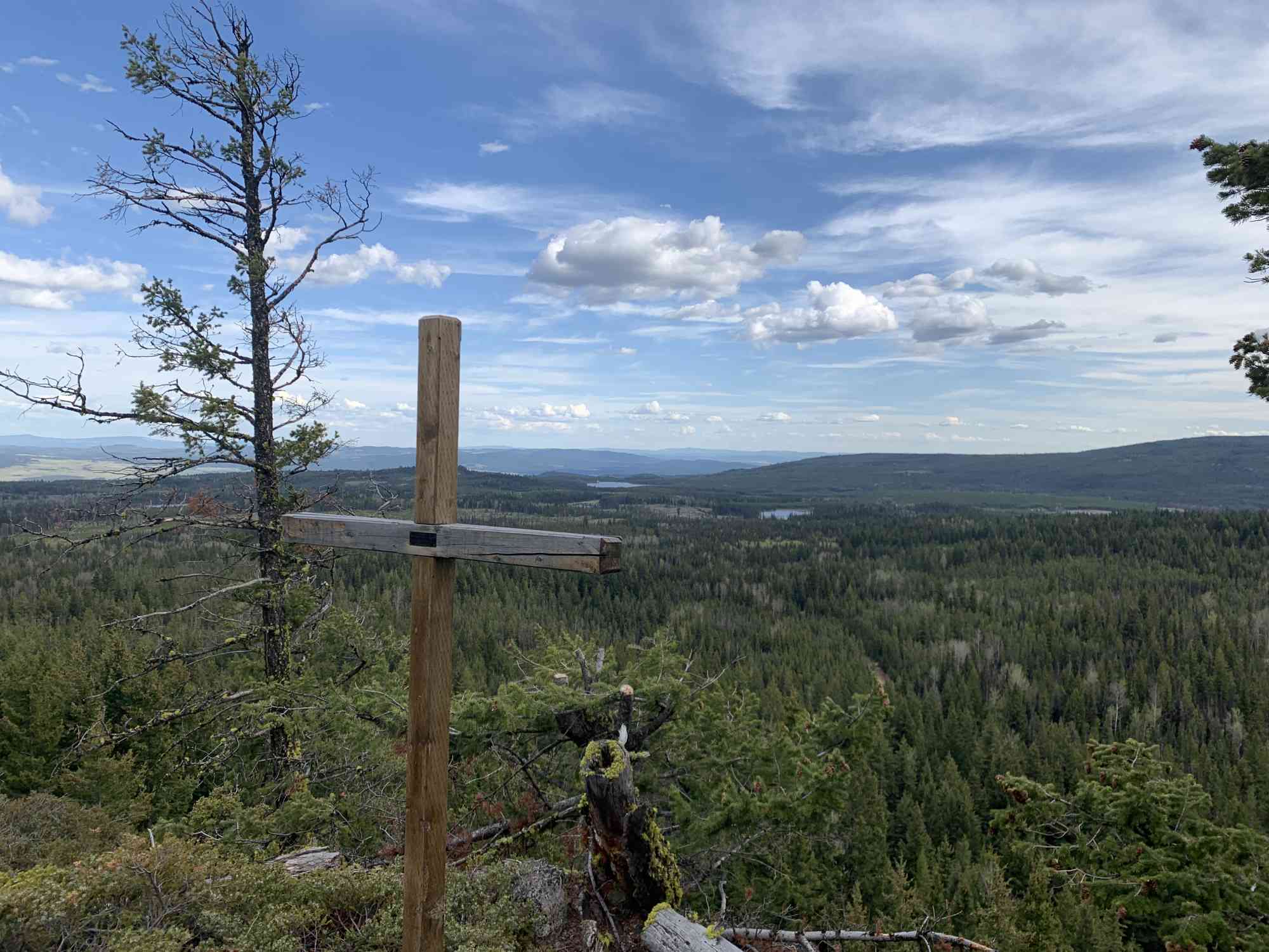
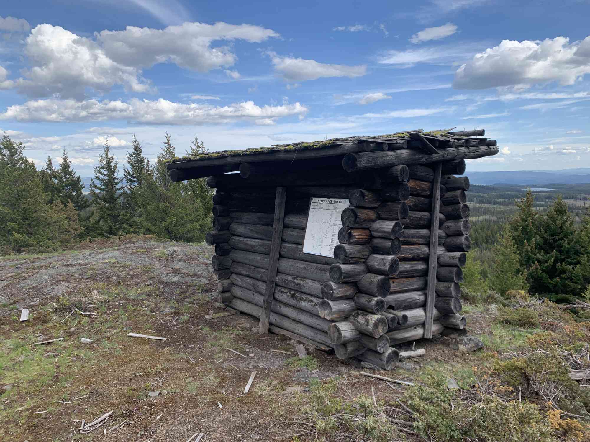
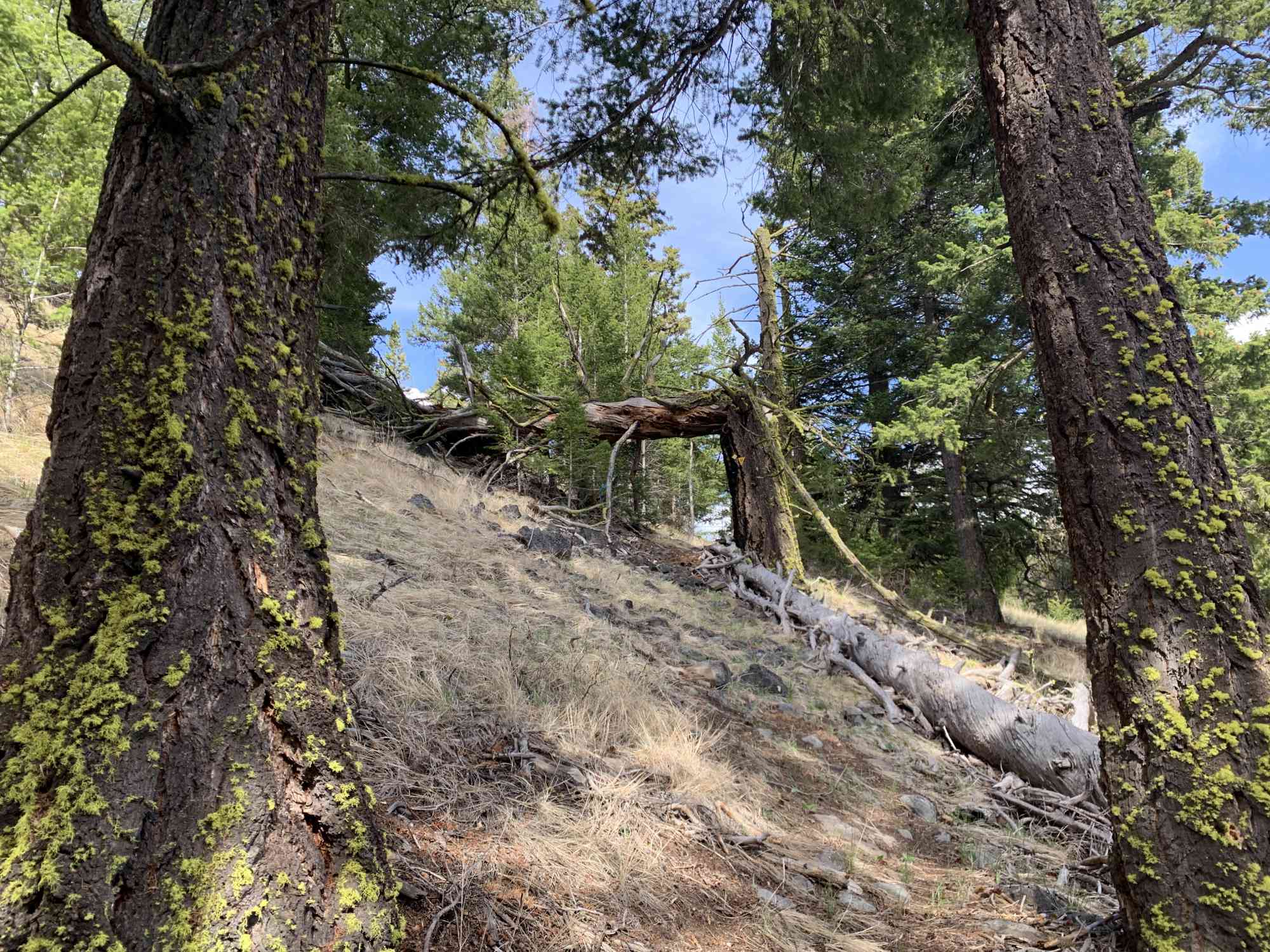
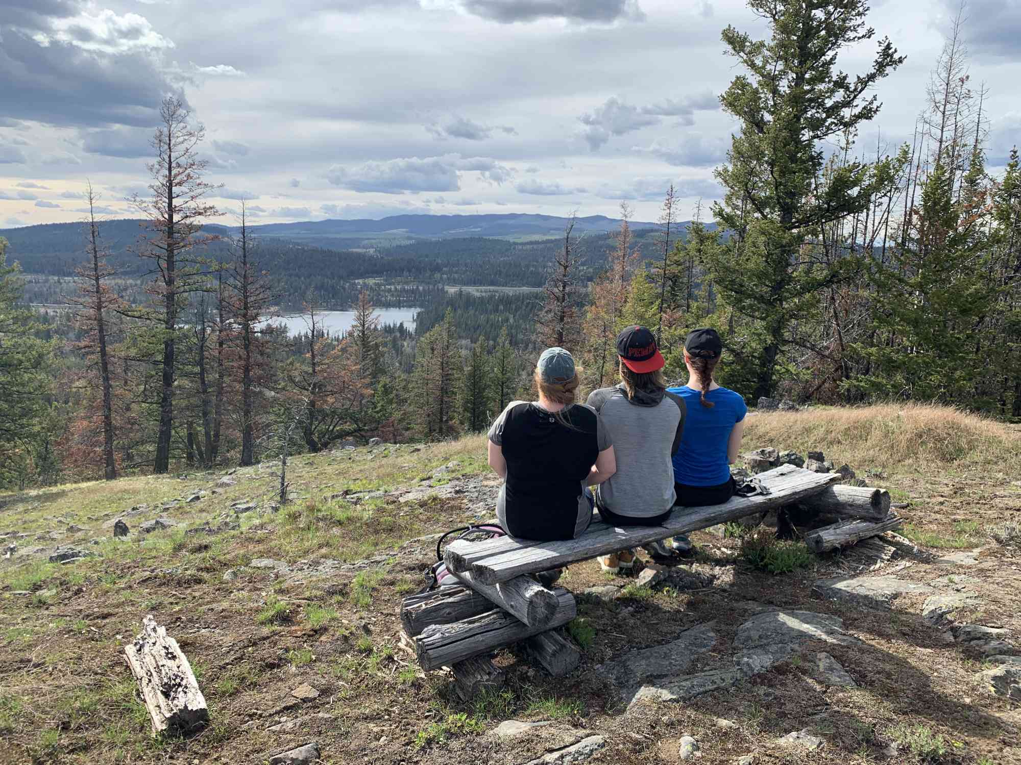
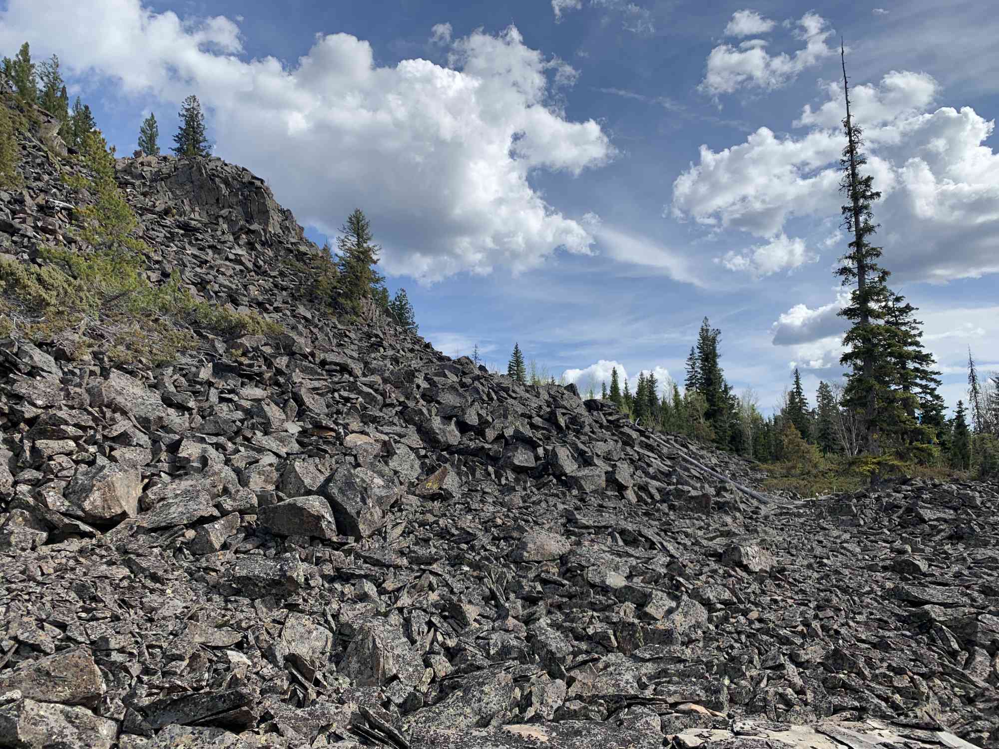
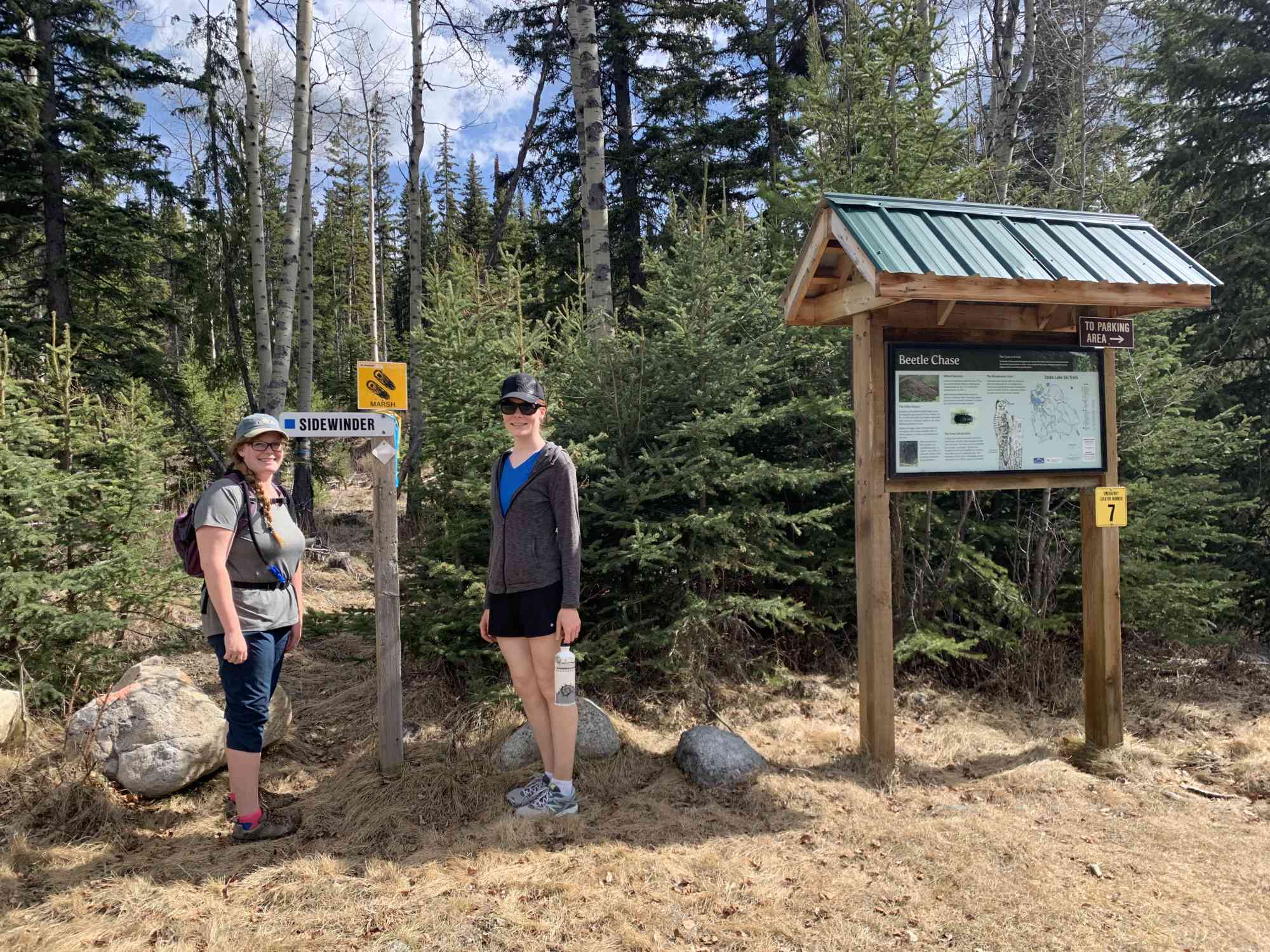
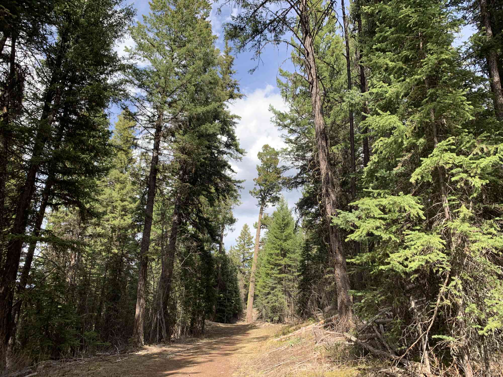
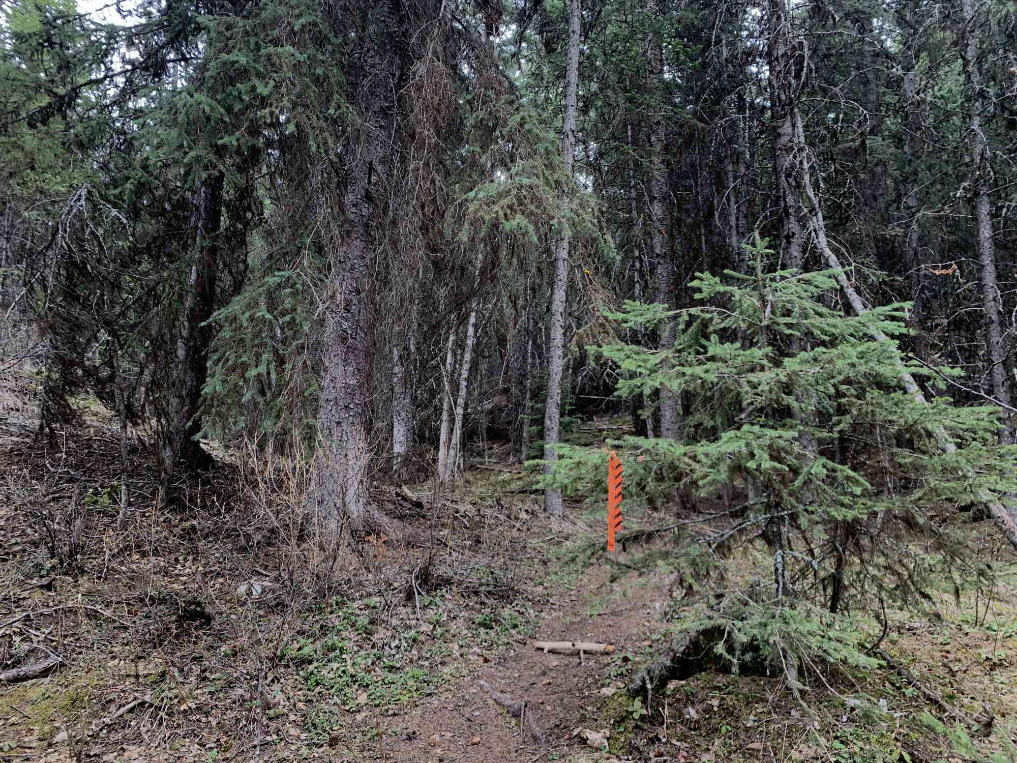
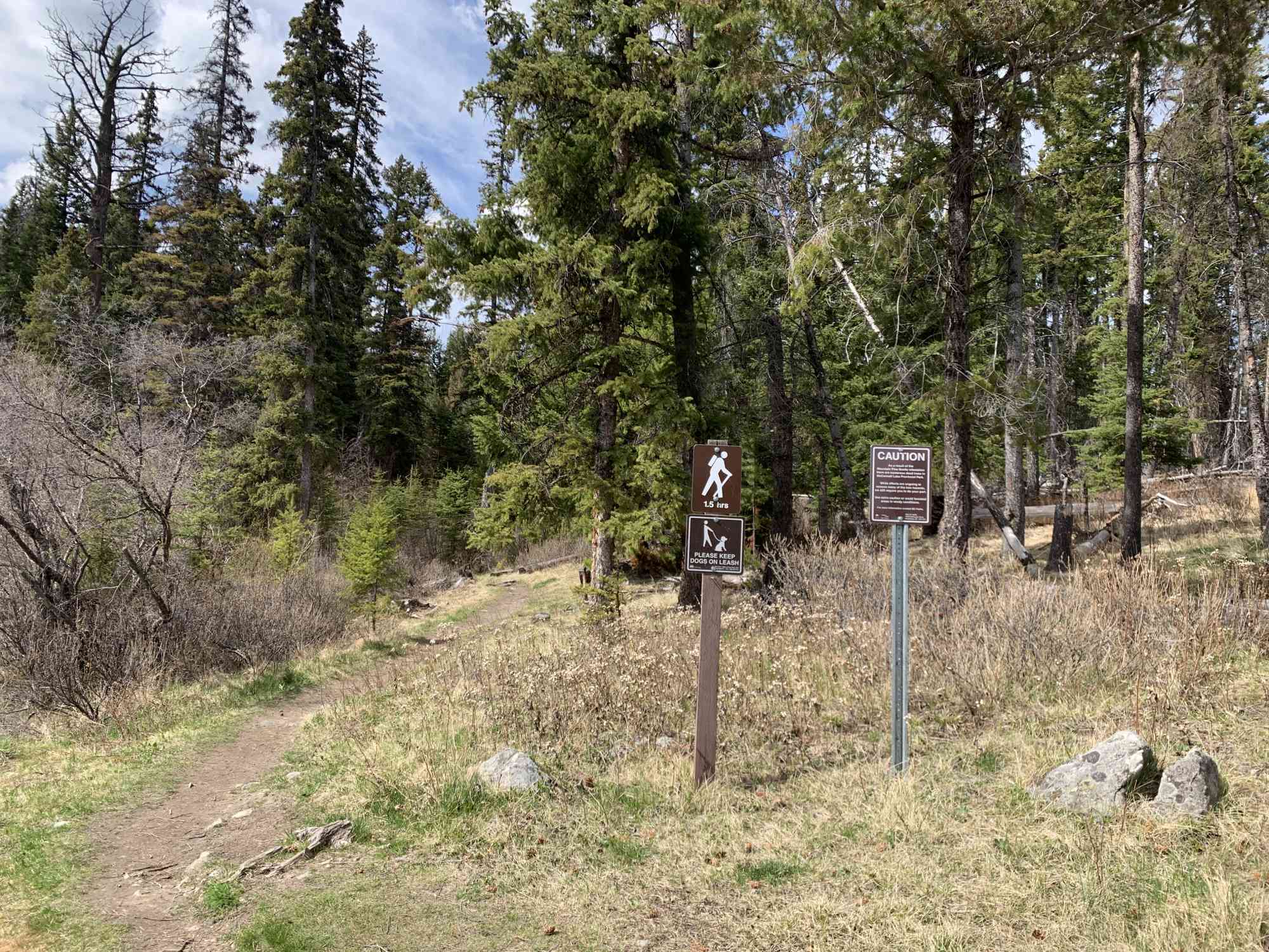
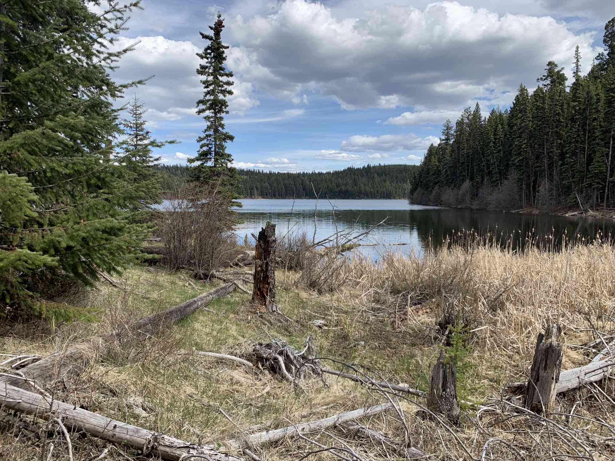
50.525331, -120.460818Enjoy a leisurely walk counter-clockwise around McConnell lake until taking the fork at the southmost tip of the lake. Upon trekking up a short and steep section, turn right onto the 4x4ing road on the Stake Lake Winter Recreational trail. Behind the first map that will be on your left, take the trail into the bush on the snowshoe route to the Basalt Cliffs. Follow the rim of this mountain for spectacular views of both Stake Lake and Lac le Jeune before returning to the opposite side of the cliff and turning left to reconnect with the short steep connector trail back onto the lake. There are numerous map posts throughout the Stake Lake Rec Area to aid in navigation, but GPS is still highly suggested.

Route
Kids & Pets
Features
Address
Driving Time
From Downtown Kamloops, approximate travel time by car is 25 min.
Notable GPS Co-ordinates
Detailed Directions
2) Cross over the highway and take a right onto Lac Le Jeune Rd.
3) Follow for 20 minutes or so until reaching the park sign on the left.
4) Park and follow the trail to the right of the bathrooms by the lakefront.
Google Directions
Duration Calculator
The metrics for this trail have been converted to round-trip formation for distance and elevation gain/descent if necessary.
Estimated Time:
-- hours
We have a downloadable GPS map for this trail!
Last Updated on Sunday, January 26, 2025
Need help using it? See our FAQ.Map Waypoints
GPS Notes
Leave a comment
You must Login to post a comment!