
Little White Mountain (Highland Trail)
Little White Mountain (Highland Trail)
South Myra
1 hr 25 min from Downtown Kelowna
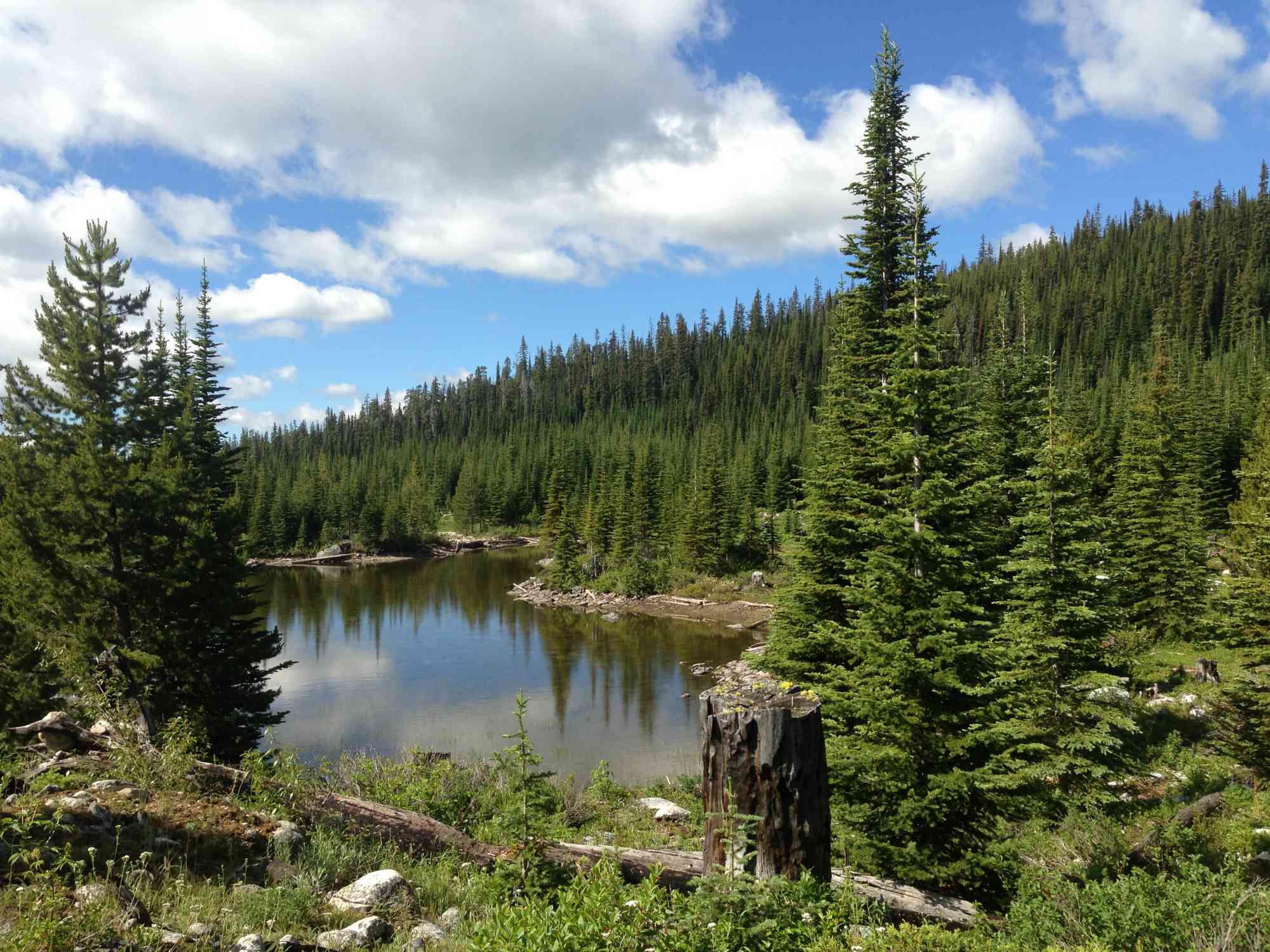
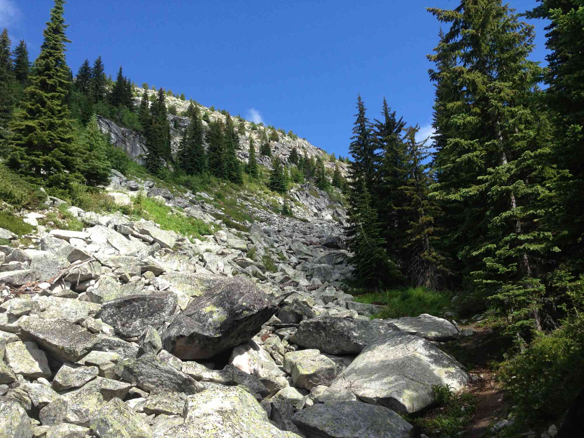
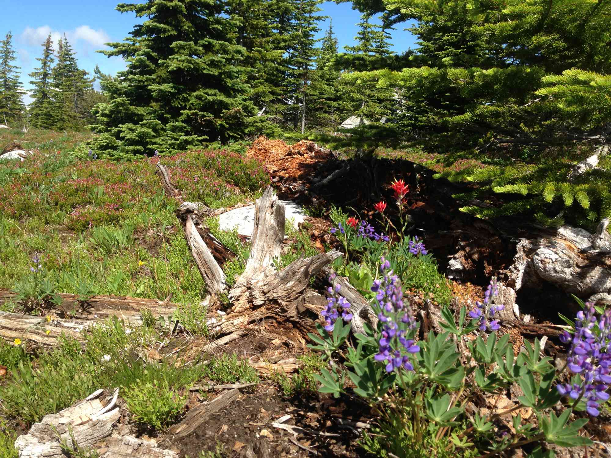
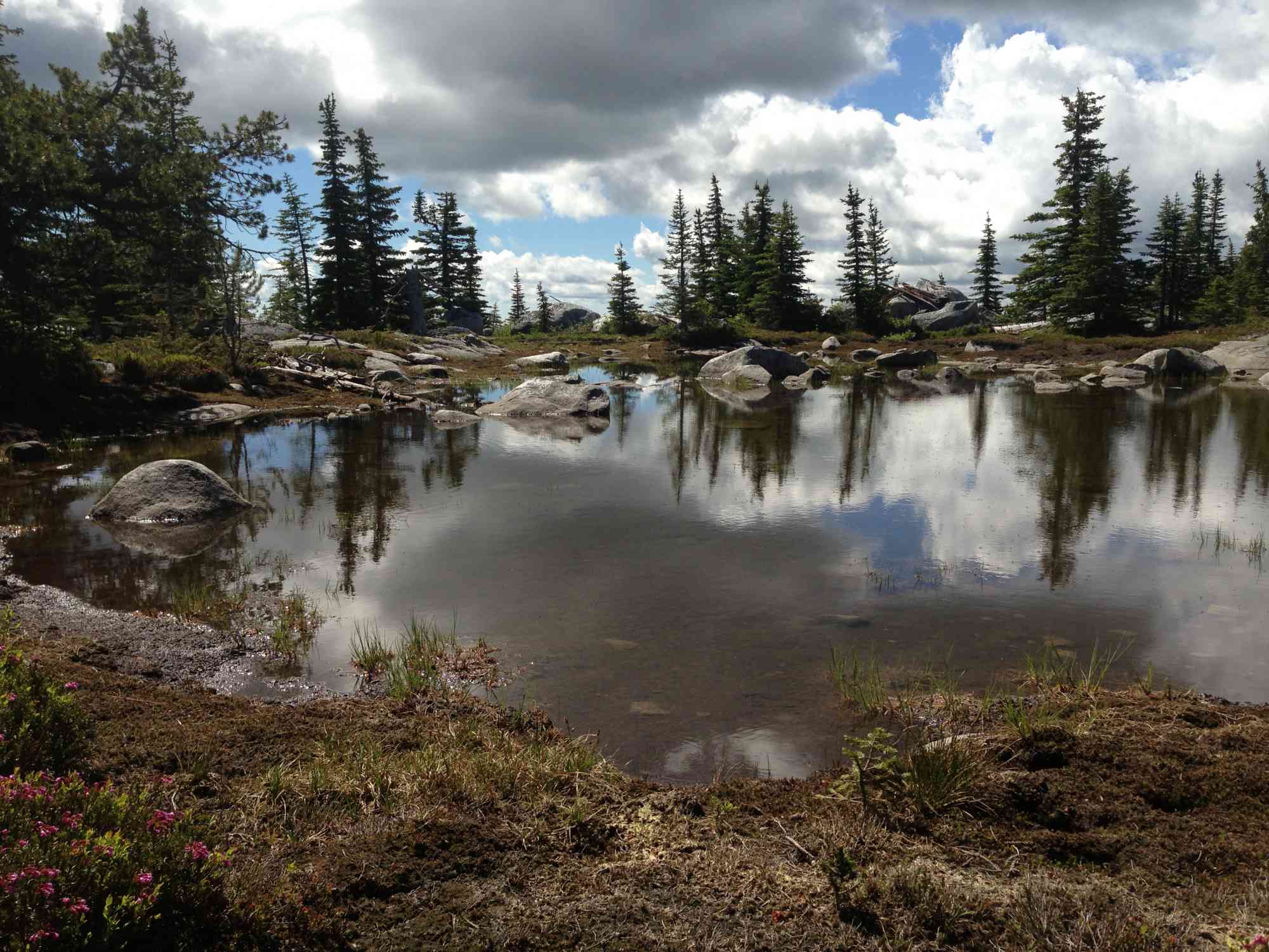
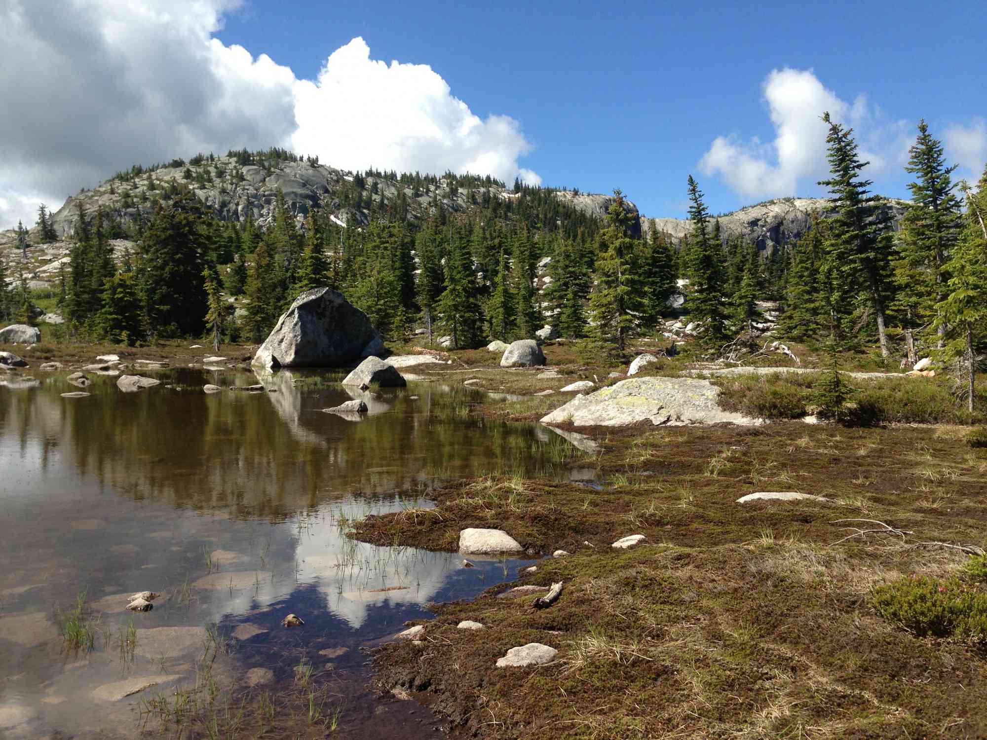
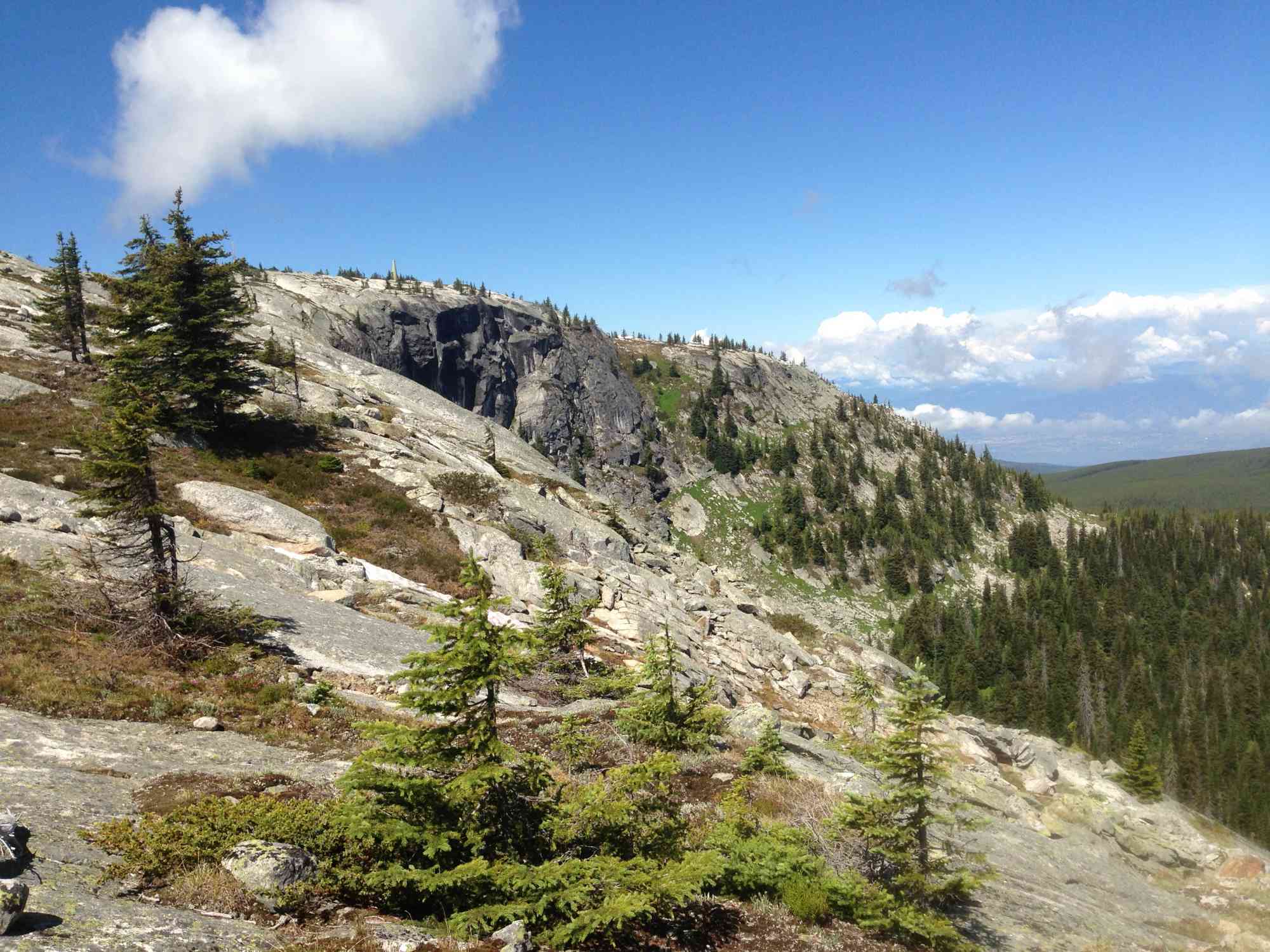
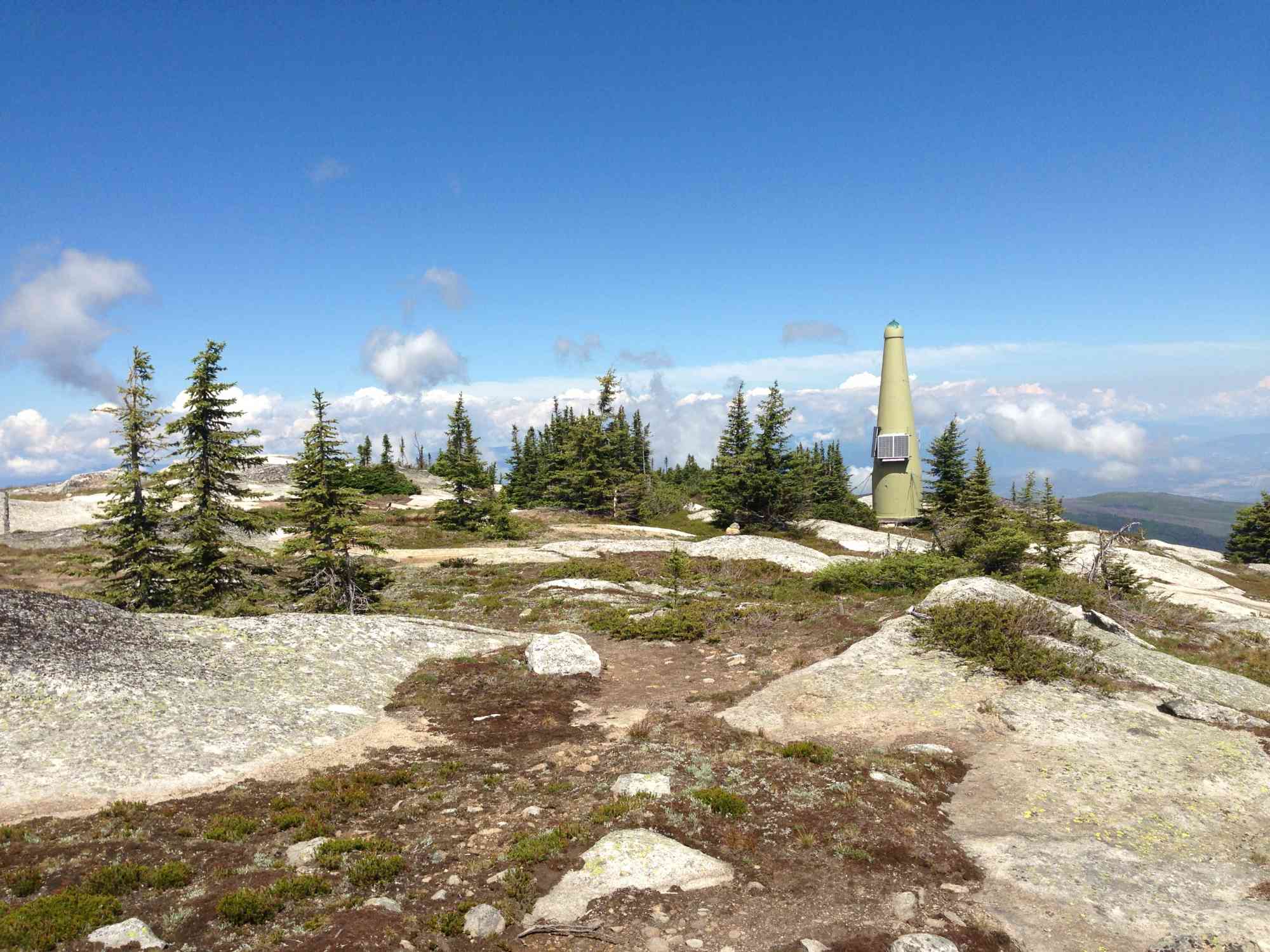
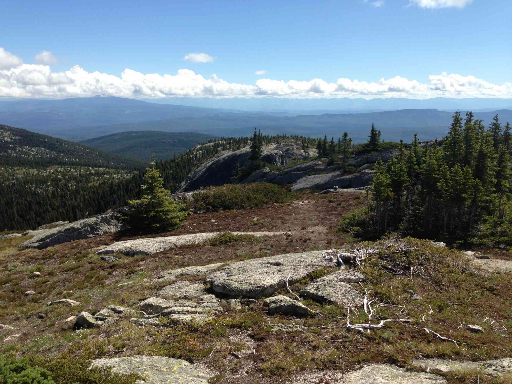
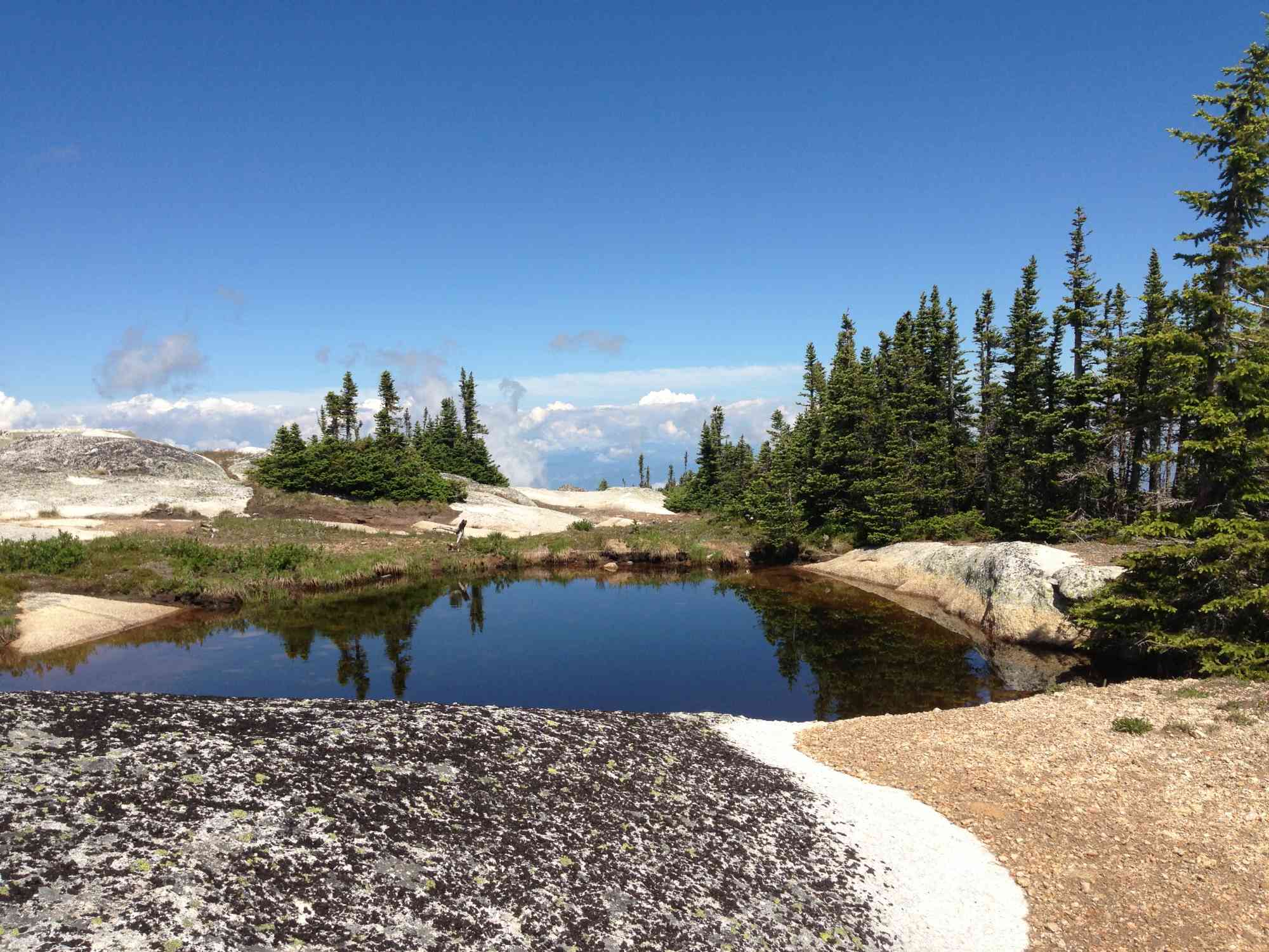
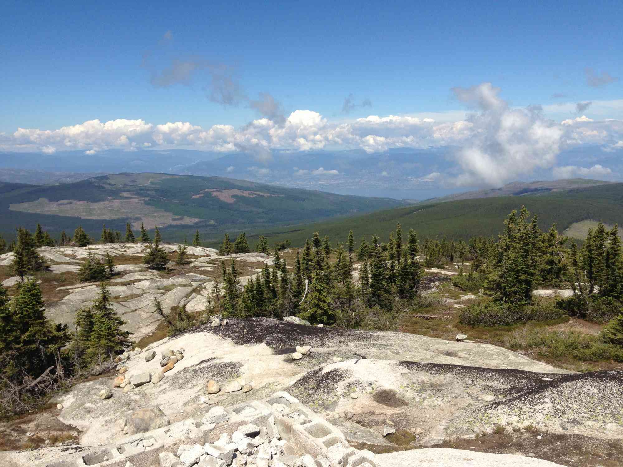
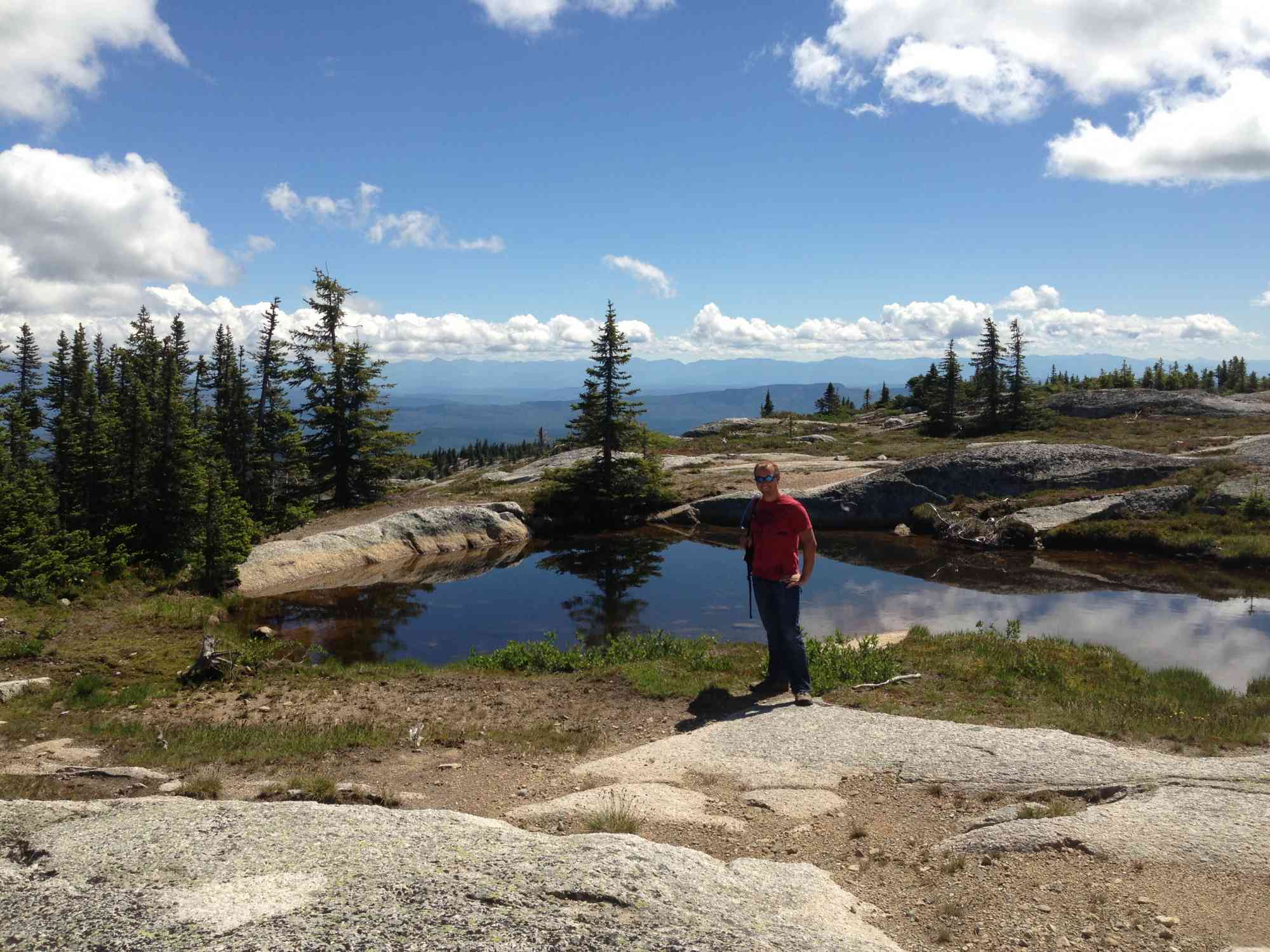
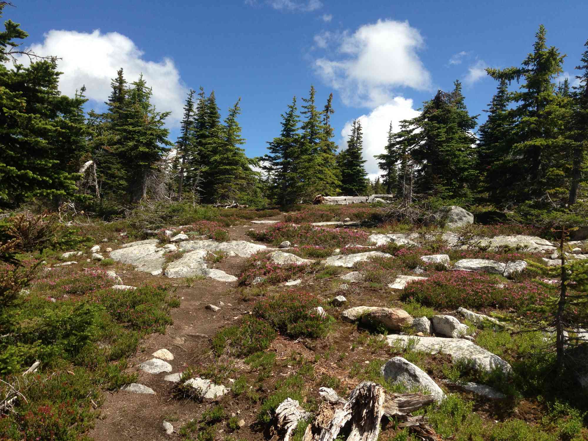
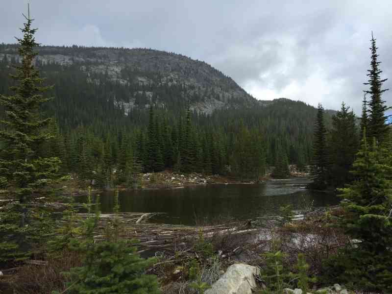
49.701230, -119.289086This gorgeous alpine hike extends into the forest south of Myra and west of Idabel Lake. It offers a short but challenging ascent, followed by a beautiful plateau with meadows, ponds, and ridge-line views of the valleys. ABSOLUTELY do not attempt this hike prior to mid-June as the snow will likely still be covering substantial portions of the trail!
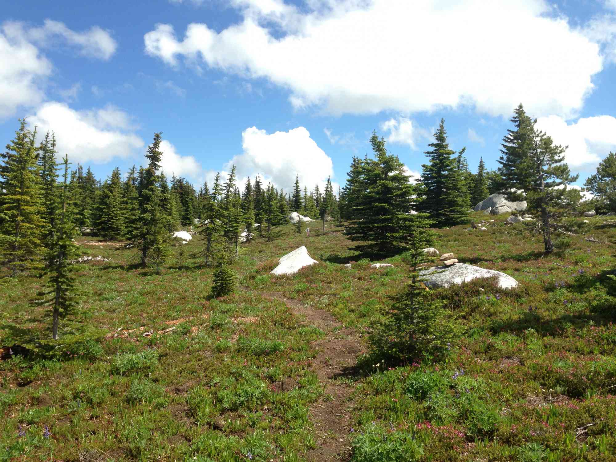
Route
Kids & Pets
Features
Address
Driving Time
From Downtown Kelowna, approximate travel time by car is 1 hr 25 min.
Notable GPS Co-ordinates
Detailed Directions
1. Leave Kelowna and follow Highway 33 south
2. RESET ODOMETER at the Big White Turn-off and keep going straight along Highway 33.
3. After 4.3 km, make a sharp right turn onto Okanagan Falls Forest Service Road 201 with signs for Thunder Mountain Raceways.
4. RESET ODOMETER.
5. At 1.7 km, continue straight through the stop sign with signs for Idabel Lake.
6. At 5.3 km, continue straight with Idabel Lake on your right.
7. At 8.1 km, continue straight to cross a cattleguard.
8. At 20.9 km, continue straight to cross a small bridge.
9. At 22.7 km, turn RIGHT onto Greyback Road (125° turn).
10. At 25.3 km, turn RIGHT onto Canyon Lakes FSR with signage for the snowmobile club.
11. At 25.7 km, continue straight to cross a small bridge.
11. At 26.7 km, keep right on main road.
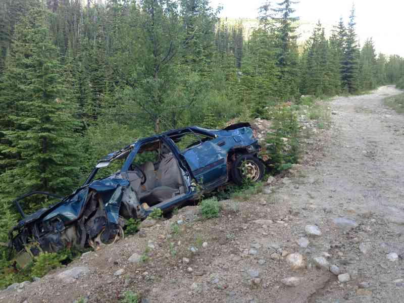
12. At 28.3 km the road quality becomes VERY poor with several dips and large boulders. Not recommended for cars, but possible. Easily done in any 4x4.
13. At 32 km, park at the parking lot/clearing on your left. The trail begins at the back of the clearing with signage.
Google Directions
Use our written directions in preference to the Google directions below as they are likely more accurate.
Linear Trail
We have a downloadable GPS map for this trail!
Last Updated on Thursday, March 23, 2023
Need help using it? See our FAQ.Map Waypoints
GPS Notes
Fantastic hike! A word of caution regarding getting to the trailhead; the final 7 km of road ("unmarked road" ) before the parking spot is best navigated with a vehicle with a bit of ground clearance as the road is a bit rough in spots.
Thursday, August 21, 2014 at 7:53 AMHad an amazing day, well worth the effort. Just a quick note to re-affirm the last unmarked road is quite rough. We met a subaru attempting it whose owners wisely decided to walk the final couple of km into the trail head. They probably should have walked the whole road in. Big drops from runoff across the road, significant water in sections and many sizeable rocks strewn about. The road is also quite overgrown in the mid-section so pin-striping your vehicle isn't optional (just a warning for your paint, although most scratches will buff out with a decent waxing). Otherwise, the trail itself is in fantastic shape and is well worthwhile. We went over the last weekend of July and were treated to peak wild flower season. Stunning.
Thursday, August 15, 2019 at 12:37 PMJust confirming that as of July 2020 the final few km's on the road are even worse. High clearance vehicles Only, and expect some scratches as previously stated. Awesome hike though!
Monday, July 27, 2020 at 3:07 PMBeautiful hike. I found it quite challenging though as I’m not in top shape. It took me 5 hours round trip to the top of Little White (from the trailhead). I found the descent required all my attention being tired at the end of it all. The road heading in is brutal, large rocks, ditches with water, and not pleasant. I had a Jeep which was fine but would not do it in a car. Beautiful rock features at the top, alpine flowers, nice wooded sections and alpine meadows. I think I’m going to try to hike the trestles and do the other route next time
Thursday, August 27, 2020 at 7:22 PMLeave a comment
You must Login to post a comment!