
Little White Mountain (Crawford Trail)
Little White Mountain (Crawford Trail)
Crawford/Myra
50 min from Downtown Kelowna
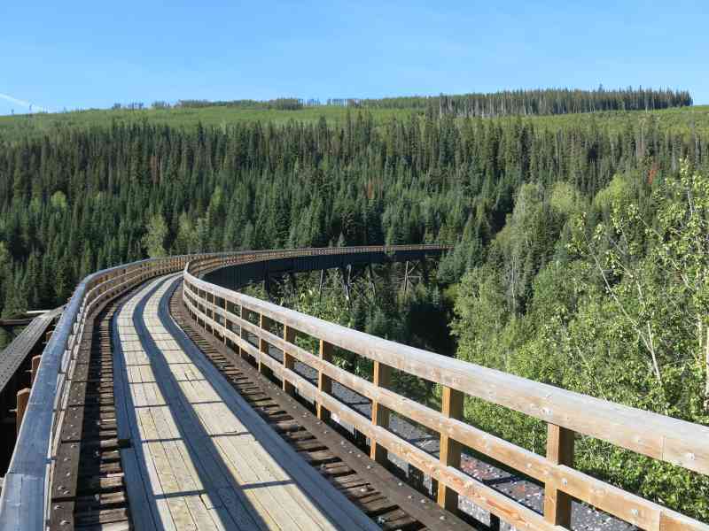
49.742276, -119.408666Parking for this trail is at Bellevue Trestle, with the trailhead and signage about 0.5km up the precarious dirt road to the left (south east). The dirt road is very well maintained and drivable in most cars. Watch for potholes, and a couple larger dips.
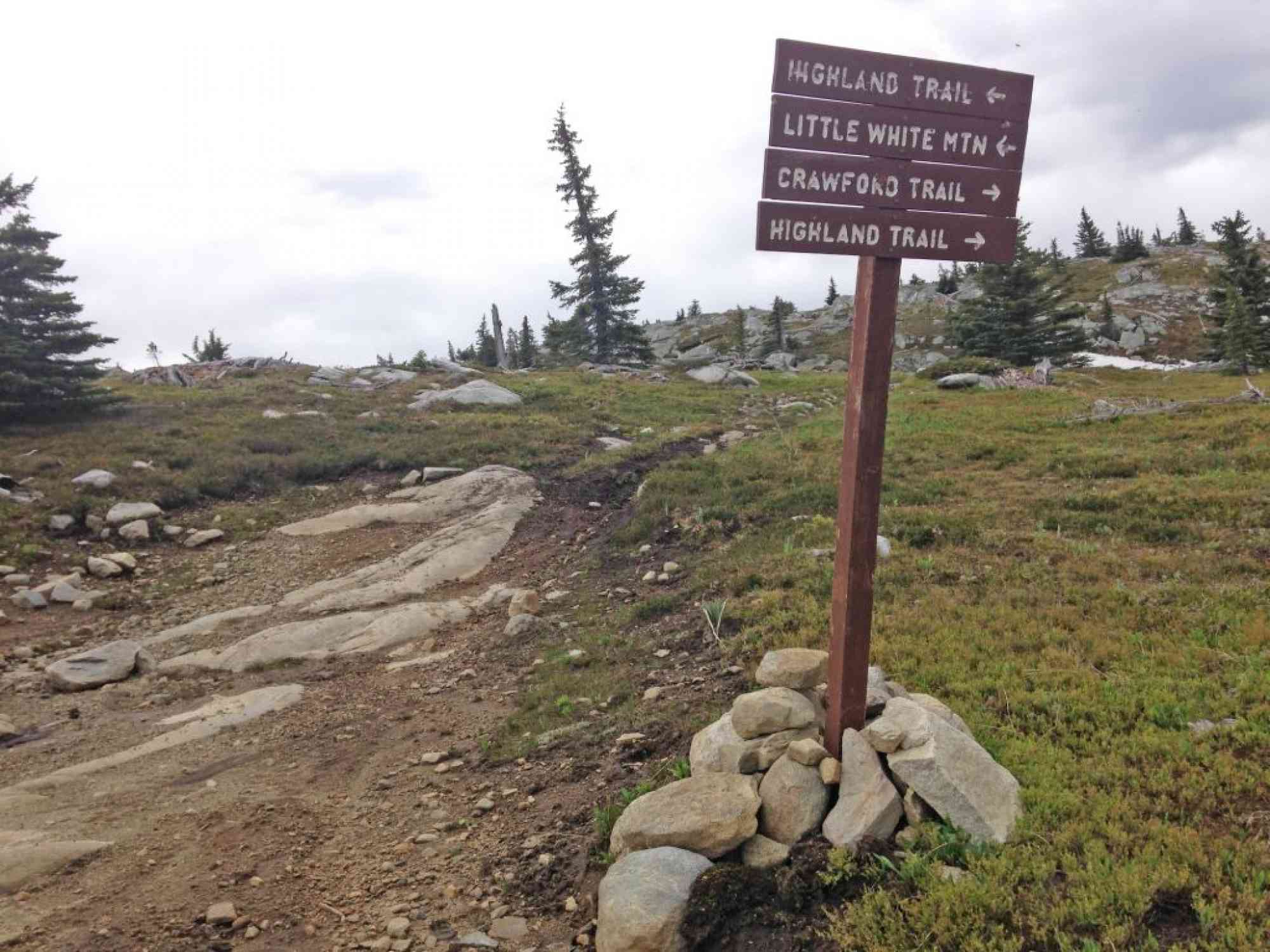
1) After following the 0.5km dirt path to the trailhead, watch for the entrance directly ahead of you, with a brown trail sign labelled "Crawford Trail" about 50 meters up the path.
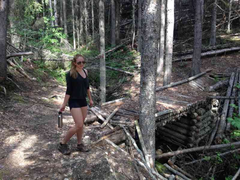
2) At approximately 1 km since the parking lot, you'll come across the YouthCorps campsite with a makeshift table, firepit, and campsites.
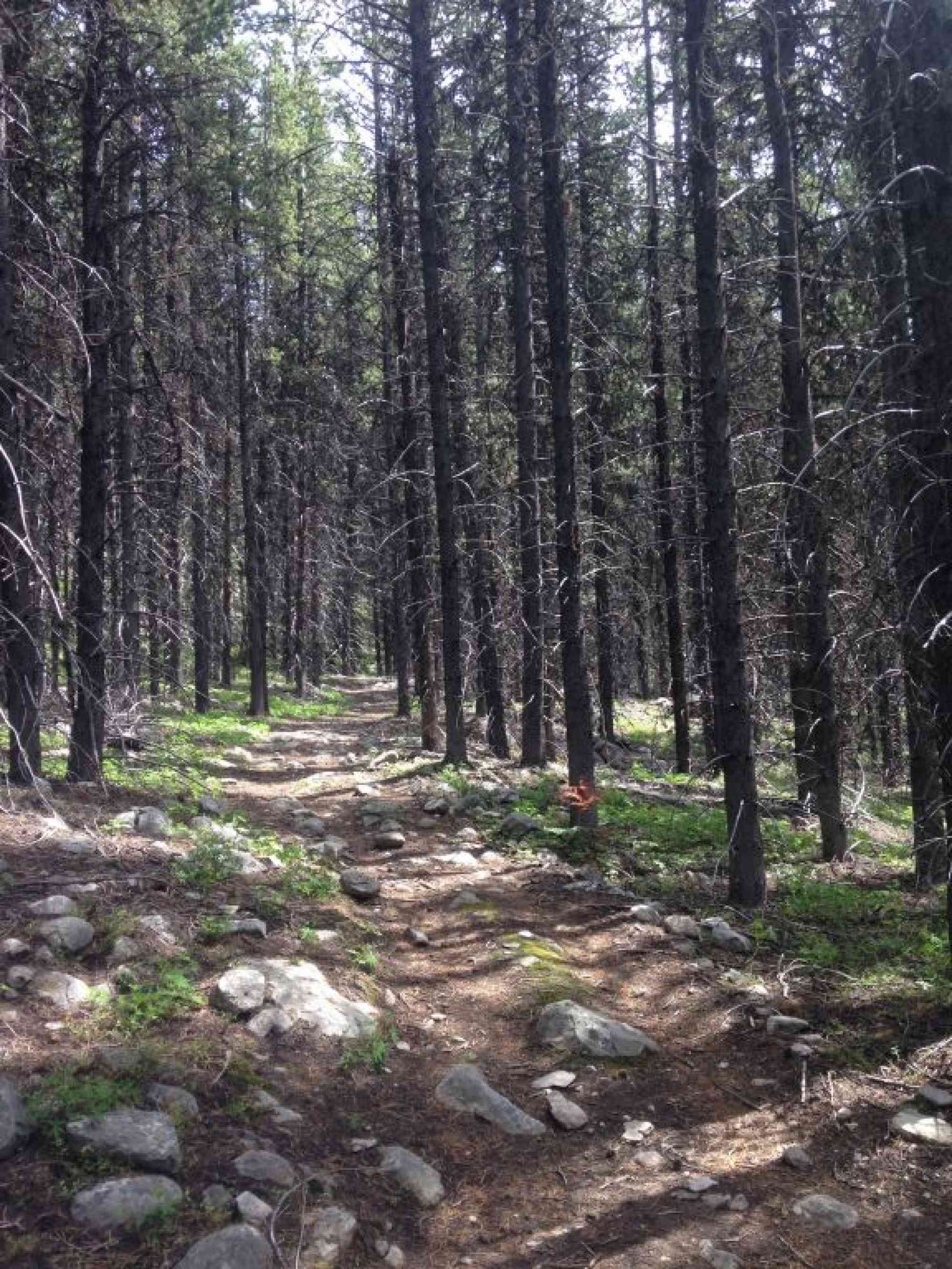
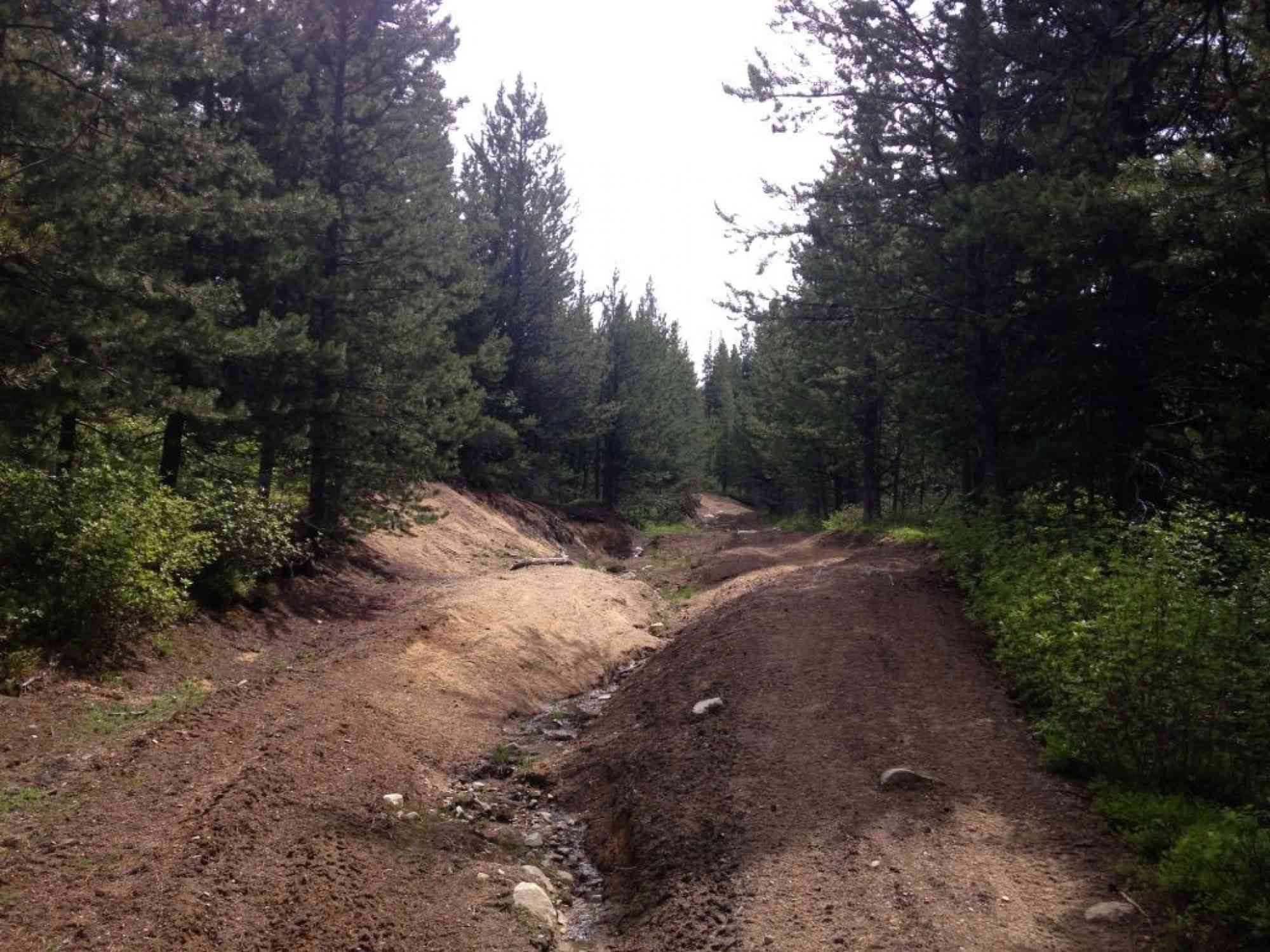
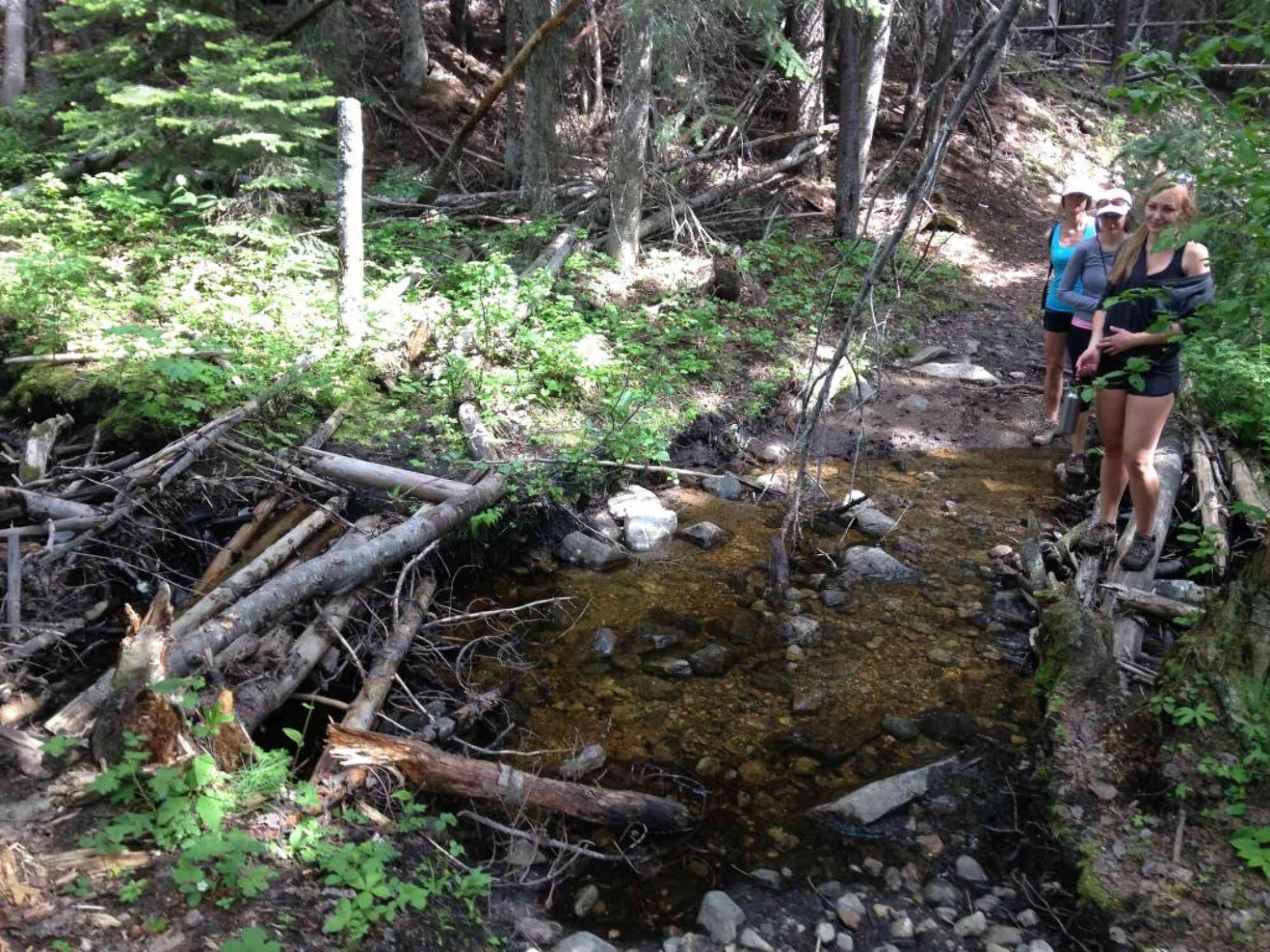
3) Continue onwards for another 1km and you'll cross a small river ("River" on GPS log).
4) After 4km of walking through the forest, reach a major forest service road with signage for Crawford Trail/Little White Mtn. Keep RIGHT.
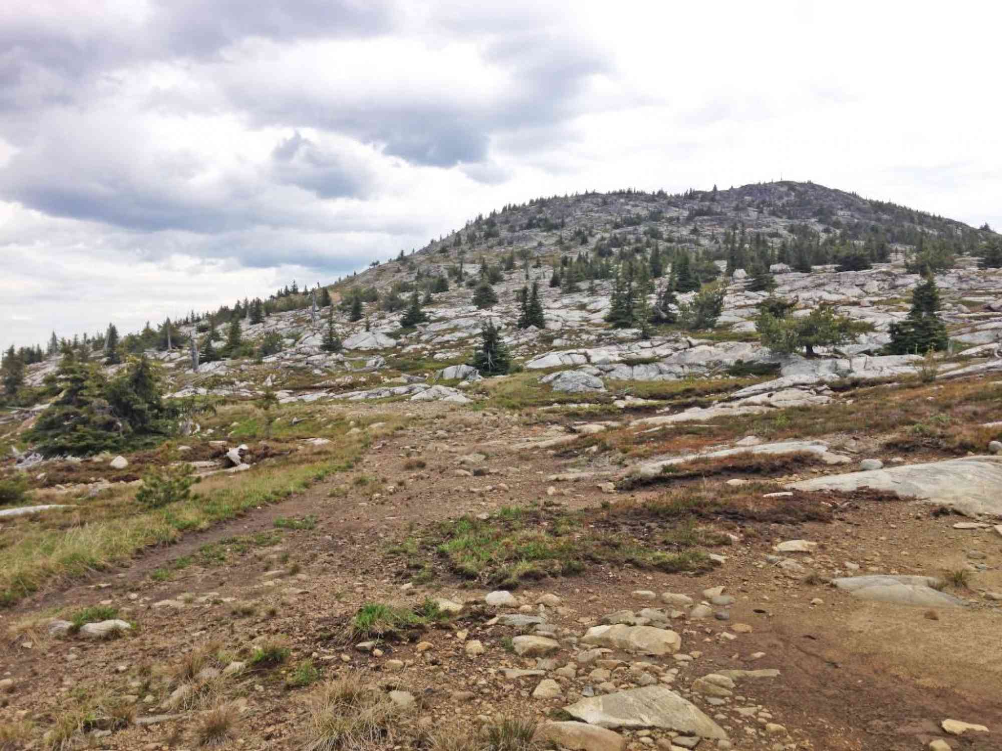
5) Continue up this boulder-ridden and rocky road for just over 2.5 km until reaching a sign for the Highland Trail fork. This is the path you would have come up had you started at the Highway 33 entrance on the other side. KEEP LEFT.
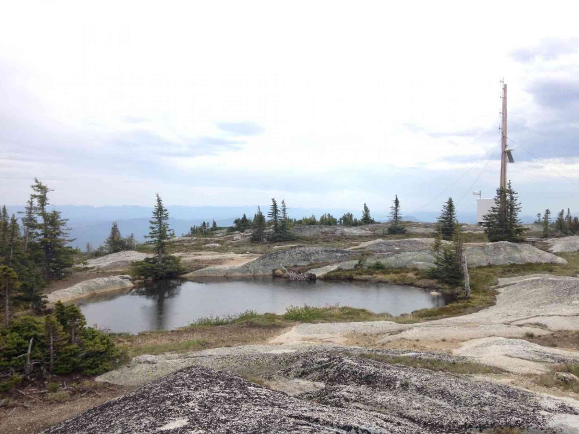
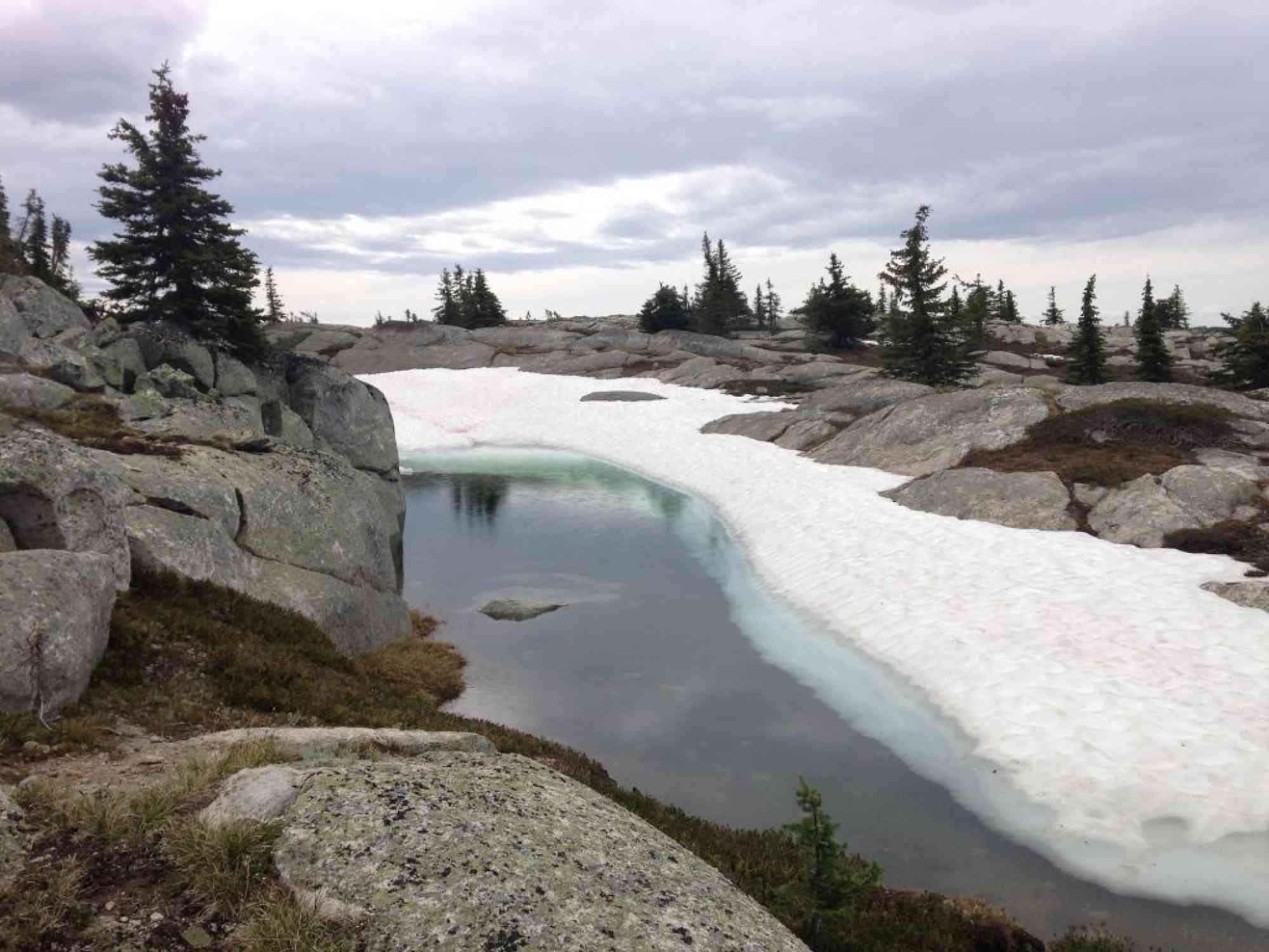
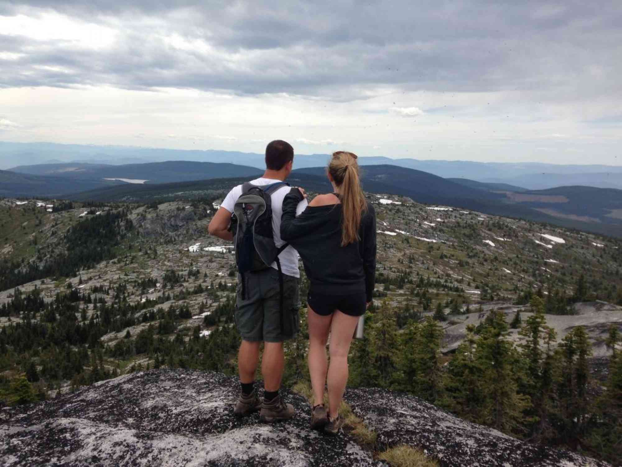
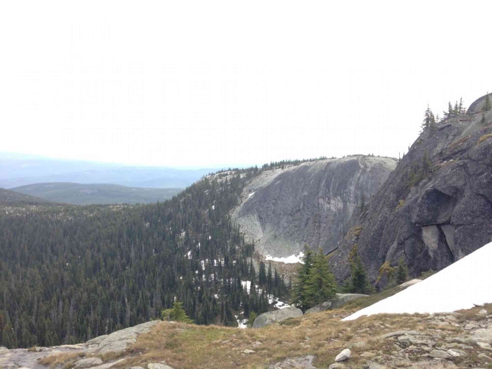
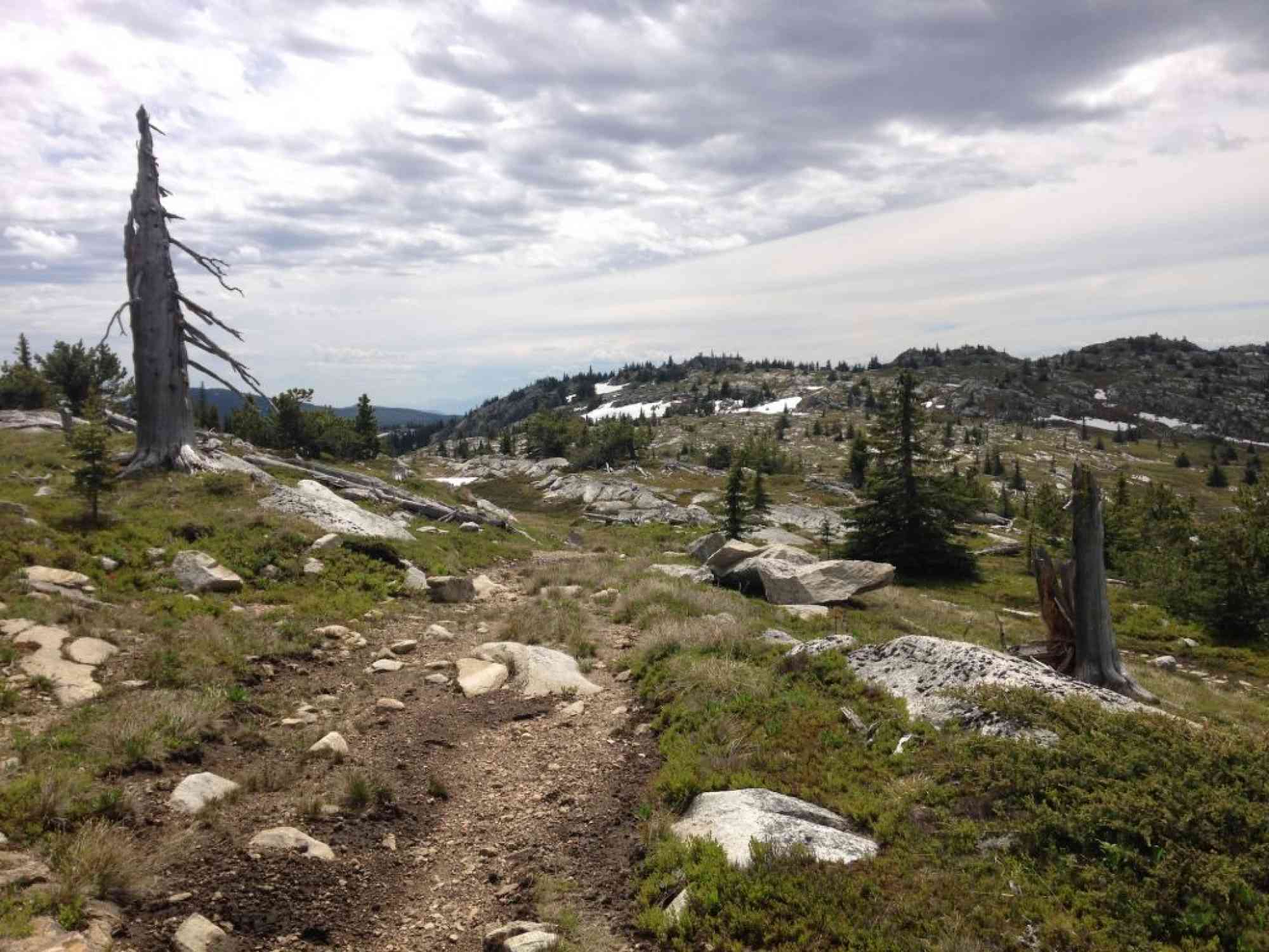
6) Continue following the well used trail to the top of the mountain at the weather station.
IMPORTANT NOTE
The Google Directions on this page only take you to the Ruth Station turn-off. Use the detailed directions after this point.
1) After following the 0.5km dirt path to the trailhead, watch for the entrance directly ahead of you, with a brown trail sign labelled "Crawford Trail" about 50 meters up the path.
2) At approximately 1 km since the parking lot, you'll come across the YouthCorps campsite with a makeshift table, firepit, and campsites.
3) Continue onwards for another 1km and you'll cross a small river ("River" on GPS log).
4) After 4km of walking through the forest, reach a major forest service road with signage for Crawford Trail/Little White Mtn. Keep RIGHT.
5) Continue up this boulder-ridden and rocky road for just over 2.5 km until reaching a sign for the Highland Trail fork. This is the path you would have come up had you started at the Highway 33 entrance on the other side. KEEP LEFT.
6) Continue following the well used trail to the top of the mountain at the weather station.
IMPORTANT NOTE
The Google Directions on this page only take you to the Ruth Station turn-off. Use the detailed directions after this point.


Route
Kids & Pets
Features
Address
Driving Time
From Downtown Kelowna, approximate travel time by car is 50 min.
Notable GPS Co-ordinates
Detailed Directions
2. Turn RIGHT on Gordon Dr.
3. Turn LEFT on KLO Road.
4. Turn RIGHT onto McCulloch
5. Turn RIGHT onto June Springs Rd
6. Stay LEFT on June Springs Rd & follow to the start of the dirt road (Little White FSR, not labelled)
7. Continue on the dirt road to the signage for Ruth Station/Trestles (4.5 km)
8. Turn RIGHT towards Bellevue Trestle and follow for approximately 7km.
9. DO NOT CONTINUE. Park at the trestle.
Google Directions
Linear Trail
Duration Calculator
The metrics for this trail have been converted to round-trip formation for distance and elevation gain/descent if necessary.
Estimated Time:
-- hours
We have a downloadable GPS map for this trail!
Last Updated on Sunday, January 26, 2025
Need help using it? See our FAQ.Map Waypoints
GPS Notes
Leave a comment
You must Login to post a comment!