
Layer Cake Hill (Mountain)
Layer Cake Hill (Mountain)
Black Mountain
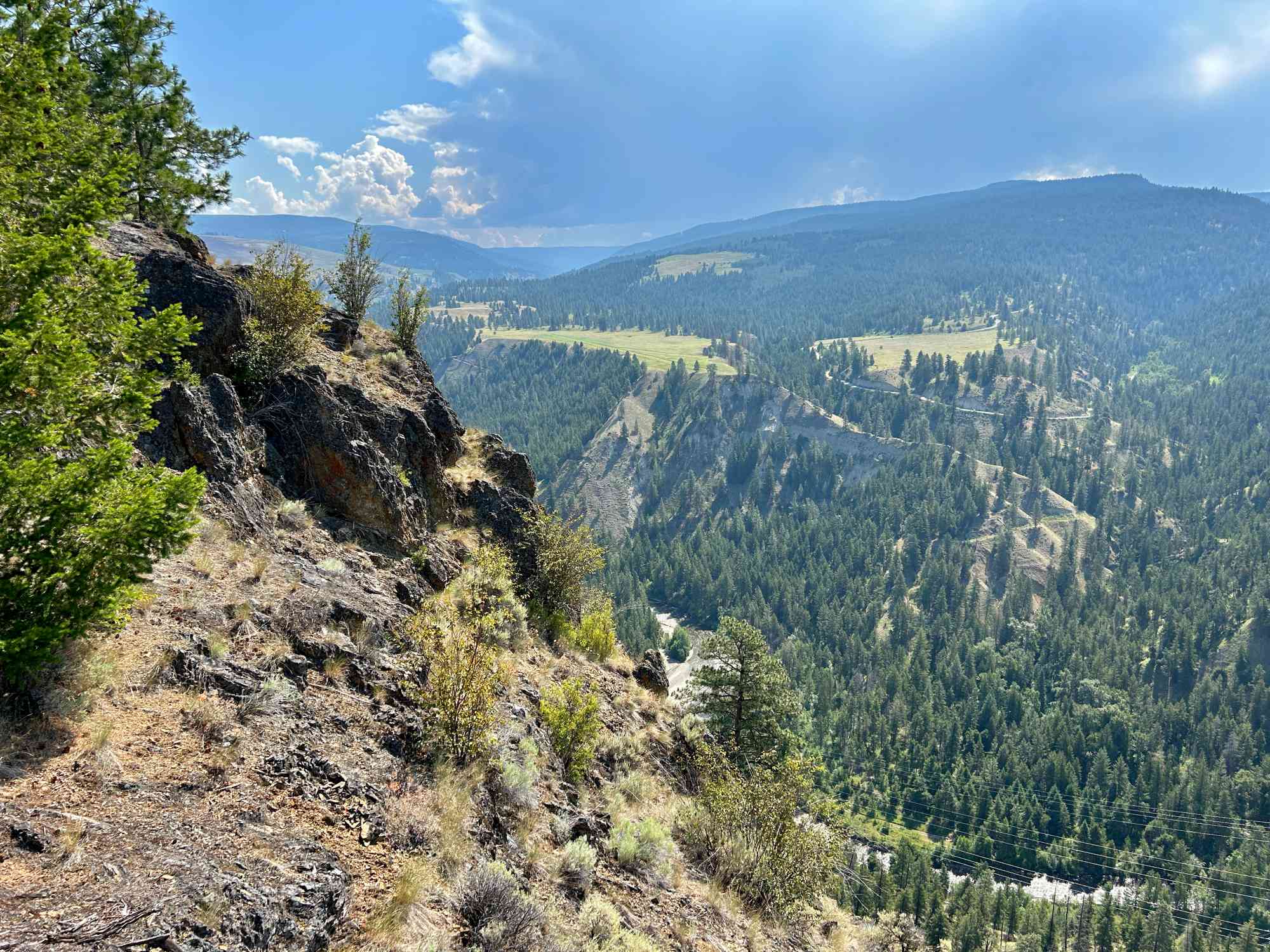
Casual stroll along the ridge of a geological formation found nowhere else in the world.
Trail Details
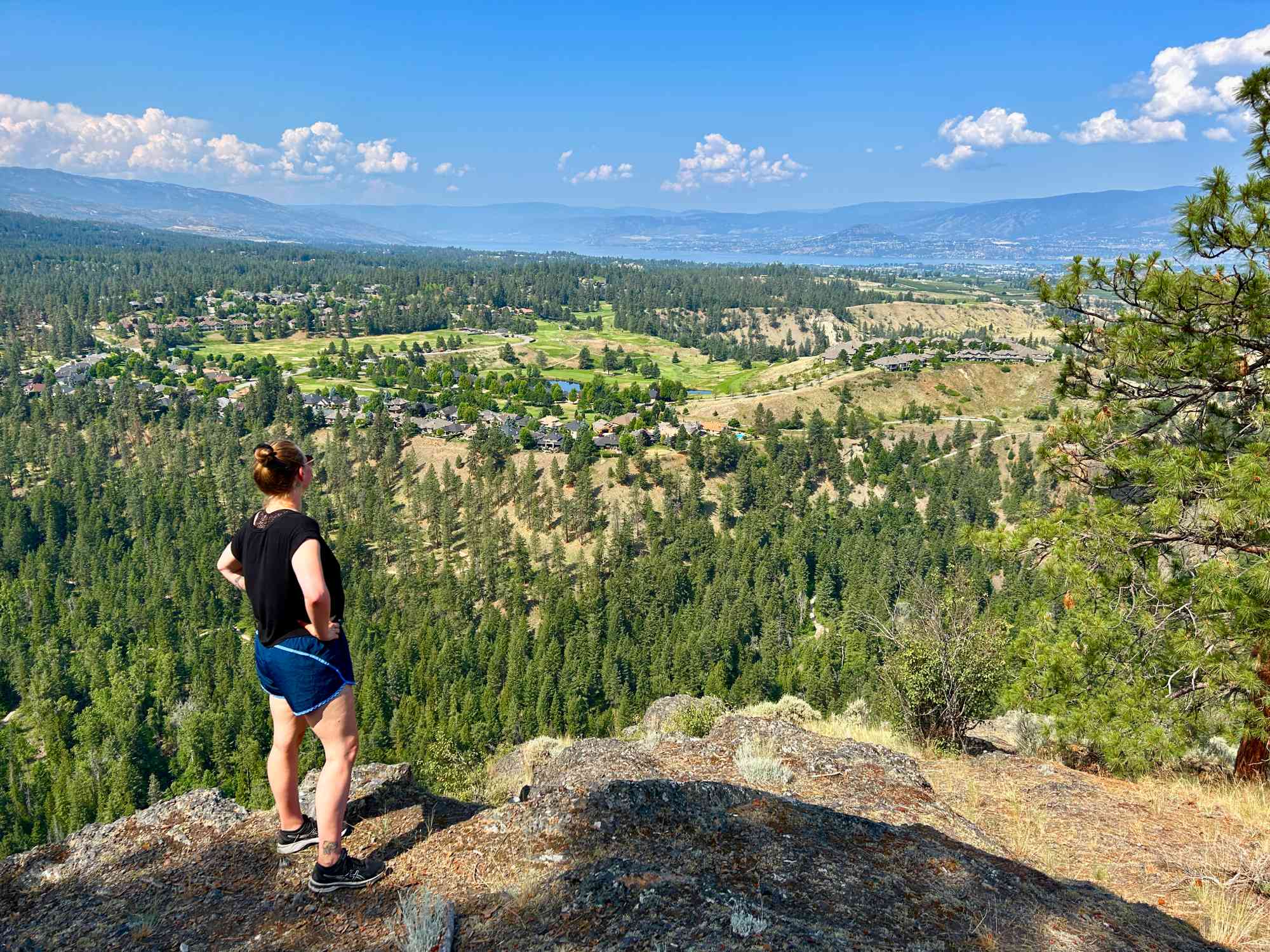
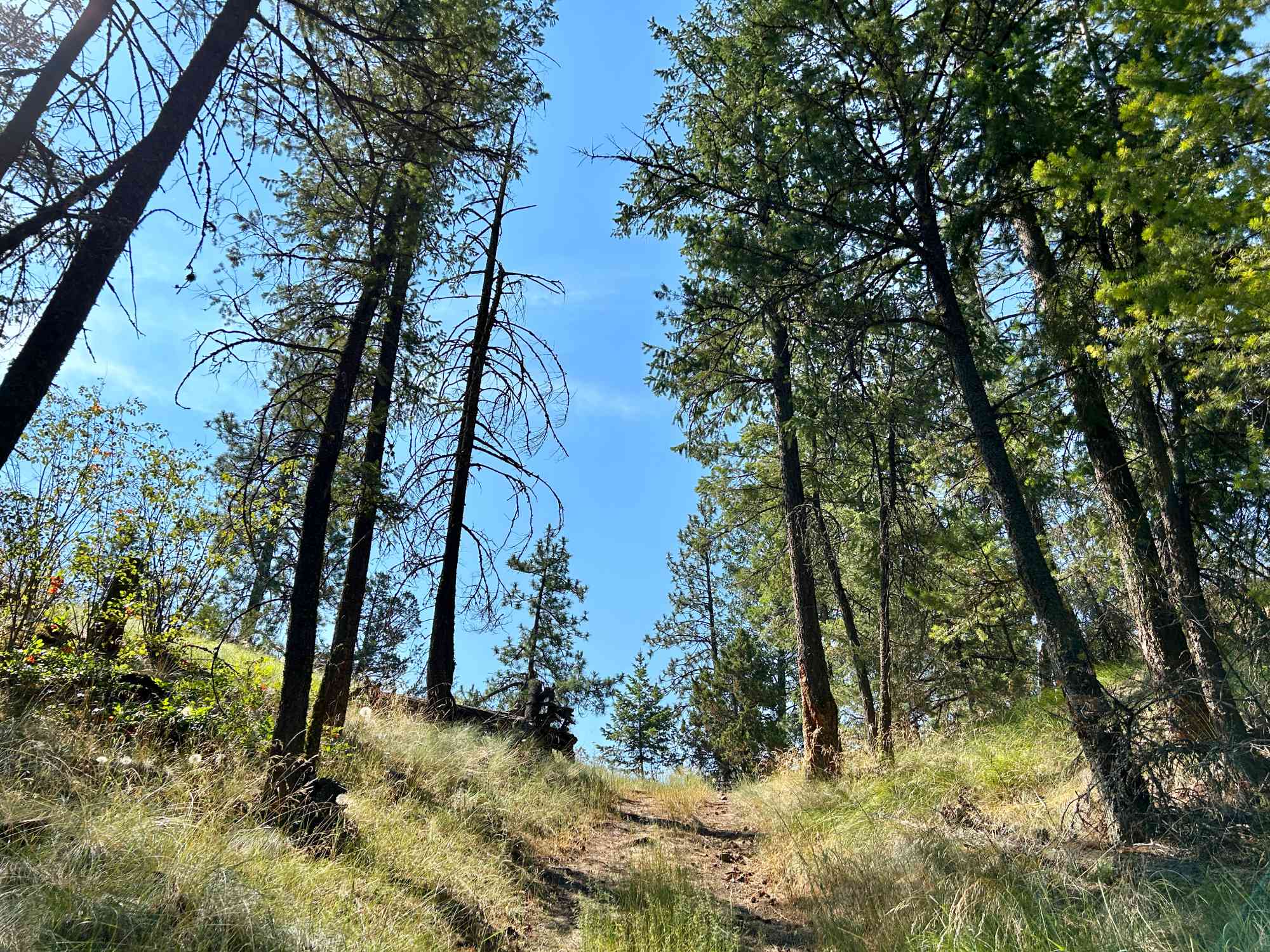
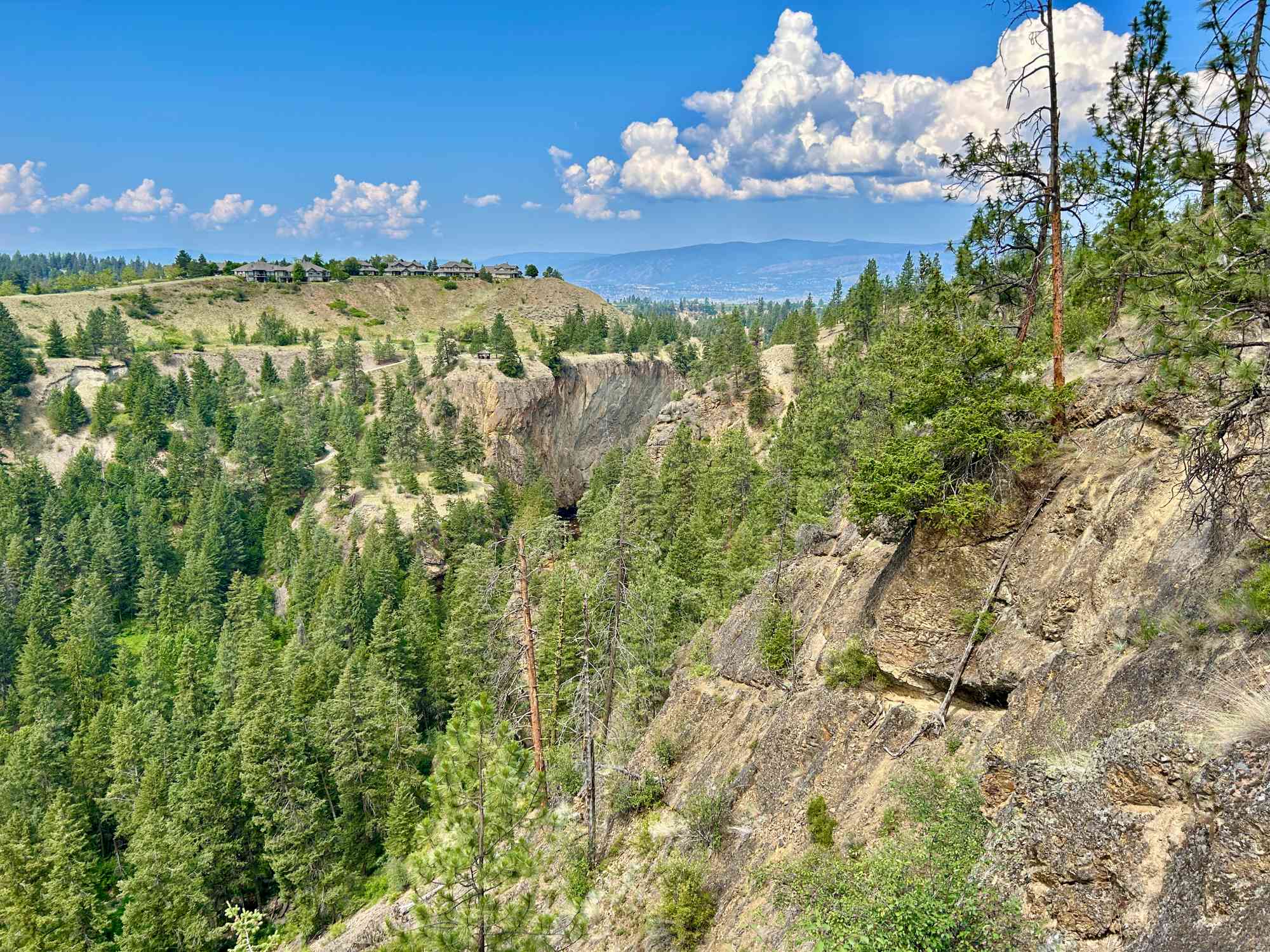
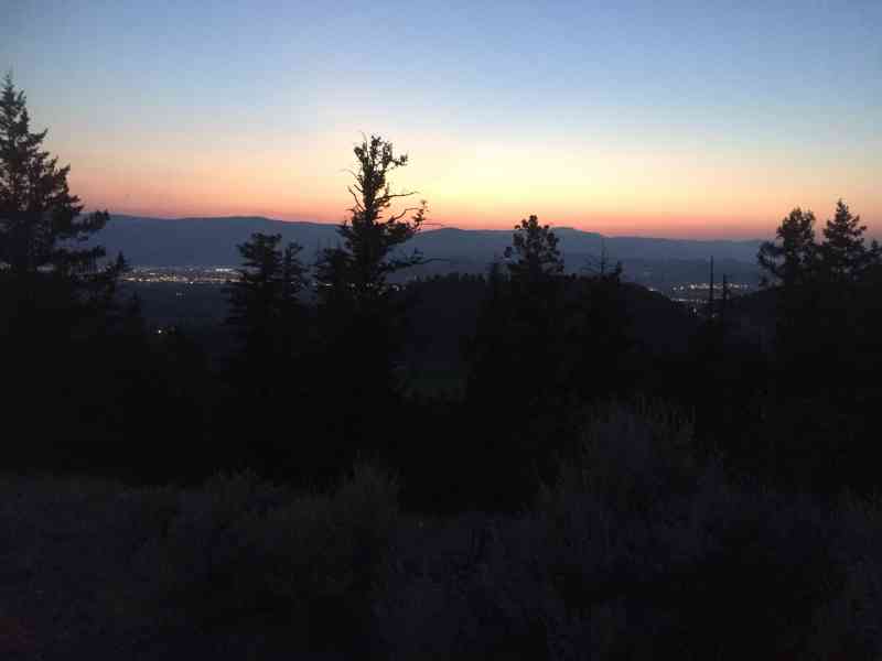
Layer Cake Mountain, Kelowna's scenic masterpiece, offers a memorable 1-hour ridgeline hike. Its gentle incline and modest elevation gain make it accessible for most, yet the trail requires a discerning eye, often blending seamlessly into the surroundings. The most reliable guide is the cliff's edge as there is no signage and the path is marked by usage only. Treat the cliffside as a natural compass, directing your journey. But caution is advised to maintain a safe distance. As you tread along the path, embrace the challenge, indulge in the stunning vistas, and experience the raw, untamed beauty of Layer Cake Mountain. A hike here is not just about the destination, but savouring the journey itself. An ideal spot for a romantic picnic over sunset.
Technical Information
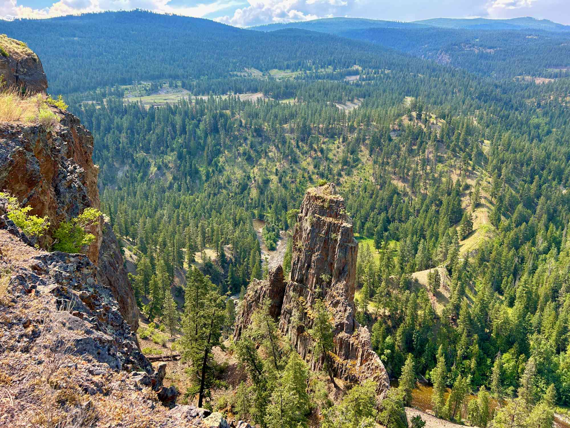
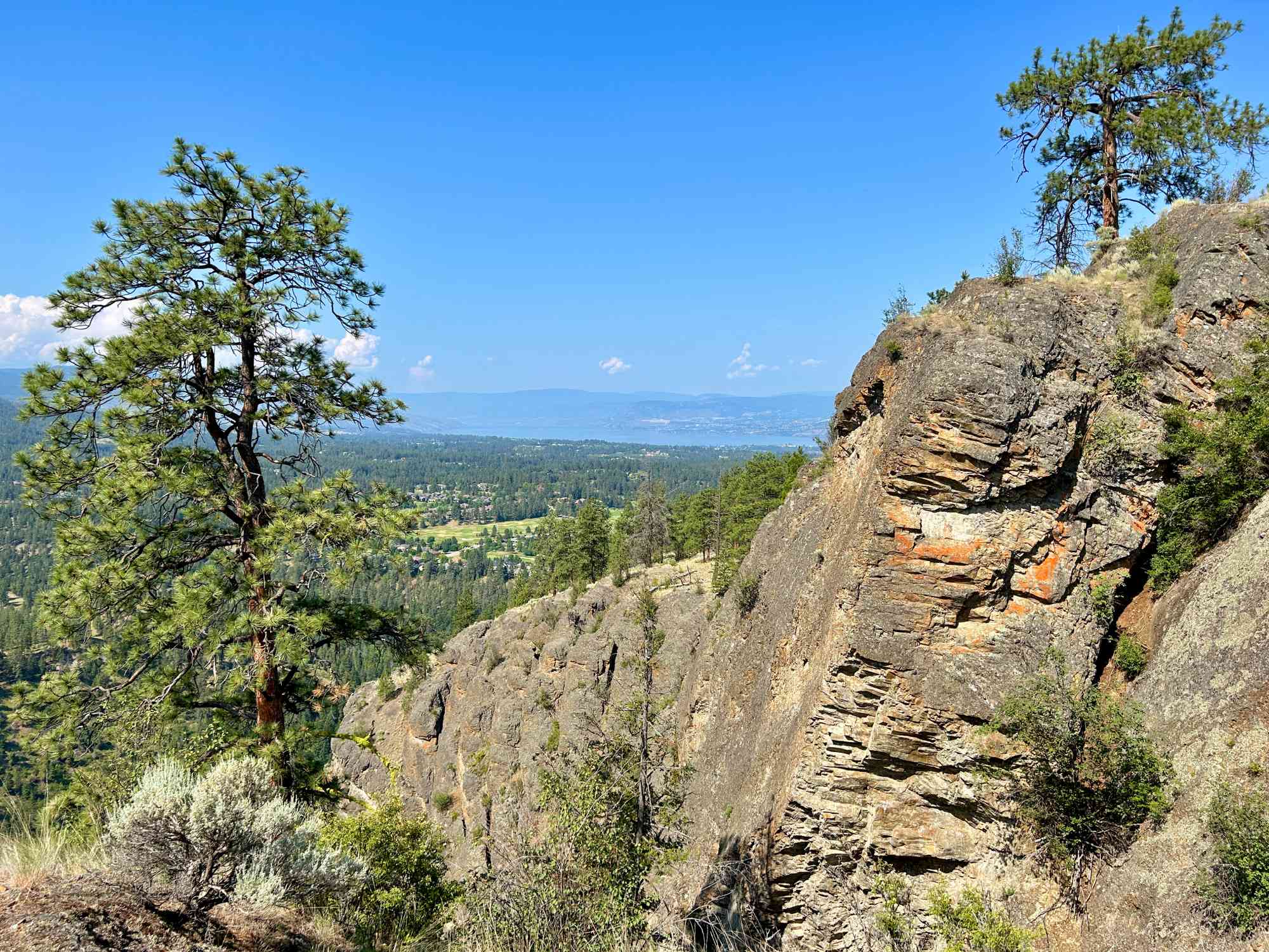
Layer Cake Mountain, located in Kelowna, British Columbia, is an impressive geological feature displaying prominent layering in a volcanic unit with dacitic composition. The mountain's layering is believed to represent a single cooling unit of a possibly large lava flow, making it an intriguing study of volcanism and geochemical differentiation.
The layers' formation is linked to both primary igneous processes and secondary geological processes. The "layers" in Layer Cake Mountain are part of the same cooling unit, indicating that the layers likely formed as the lava flow slowly cooled, rather than each layer representing a separate flow.
The mountain, located at the southeastern edge of an Eocene volcano-sedimentary basin, features approximately 28 layers which are laterally continuous for hundreds of meters. The layers are defined by distinct compositional variations, likely due to differentiation during the cooling of the magma.
The lower eight layers, which can be accessed without climbing gear, consist of thick massive layers averaging 460 cm thick separated by thin, preferentially eroded layers typically 50 cm thick. These features and the unique layering patterns suggest a fascinating history of geological processes that have taken place over millions of years.
In terms of mineral composition, the rocks display a fine-grained "felted" texture consisting of feldspar microlites, Fe-Ti oxides, ferromagnesian minerals, and devitrified glass. The hill features both thick and thin layer samples, with some distinct trace element differences observed between them, hinting at complex geochemical evolution during the cooling of this dacitic lava flow.
In essence, Layer Cake Mountain is a spectacular illustration of igneous layering, providing an invaluable field example of the complex processes of lava emplacement, cooling, and geochemical differentiation.
Route
Kids & Pets
Address
Driving Time
From Downtown Kelowna, approximate travel time by car is 25 min.
Notable GPS Co-ordinates
Detailed Directions
- From downtown Kelowna, drive towards Vernon on Highway 97/Harvey.
- Turn RIGHT on Highway 33.
- Turn RIGHT onto Gallagher Rd St
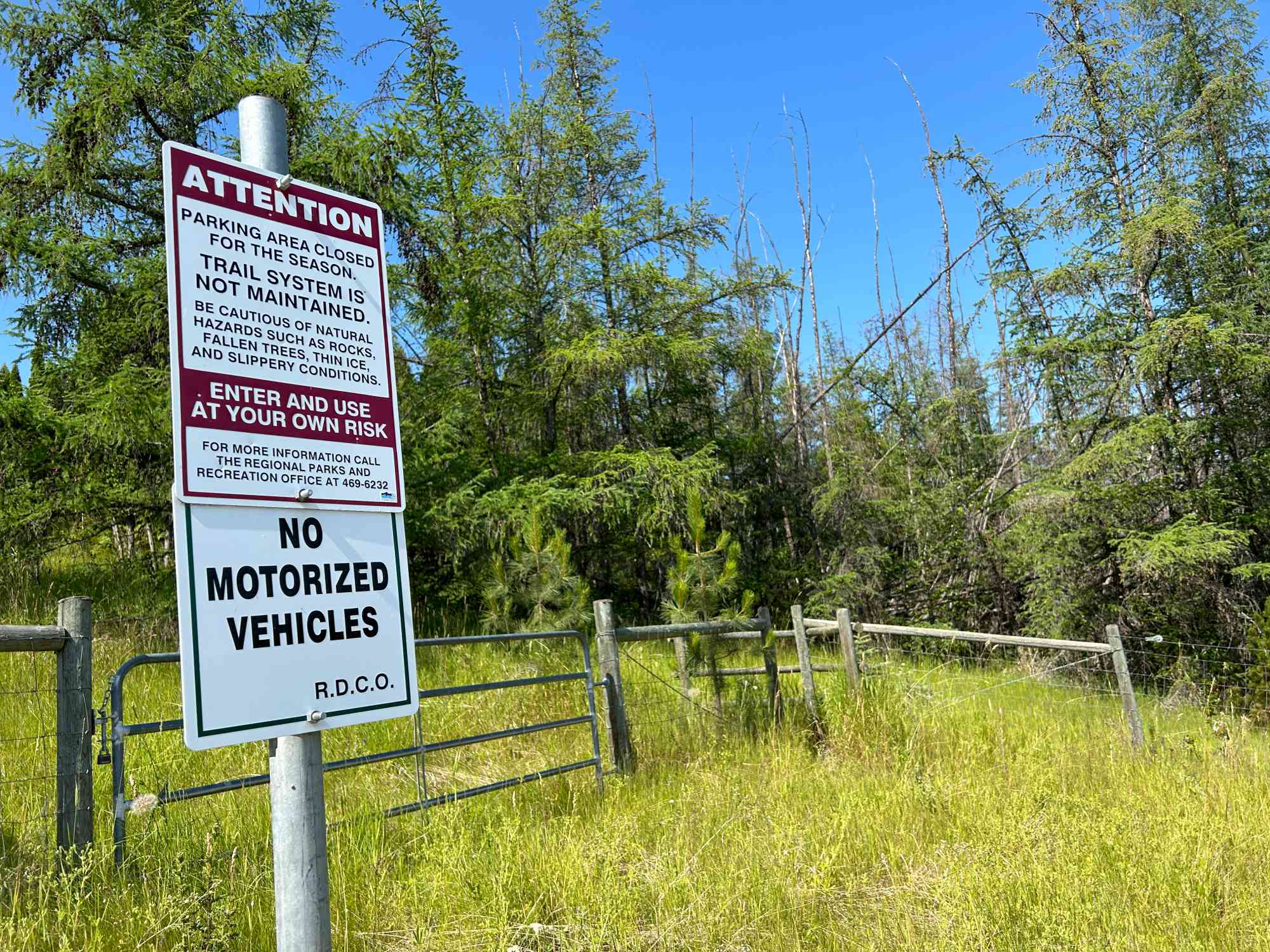
- Follow onto Mantle Ct and drive to cul-de-sac at the end. Park. Follow path through wooden fence.
Google Directions
Use our written directions in preference to the Google directions below as they are likely more accurate.
We have a downloadable GPS map for this trail!
Last Updated on Thursday, March 23, 2023
Need help using it? See our FAQ.
Leave a comment
You must Login to post a comment!