
Lakestone Ridge
Lakestone Ridge
Lake Country
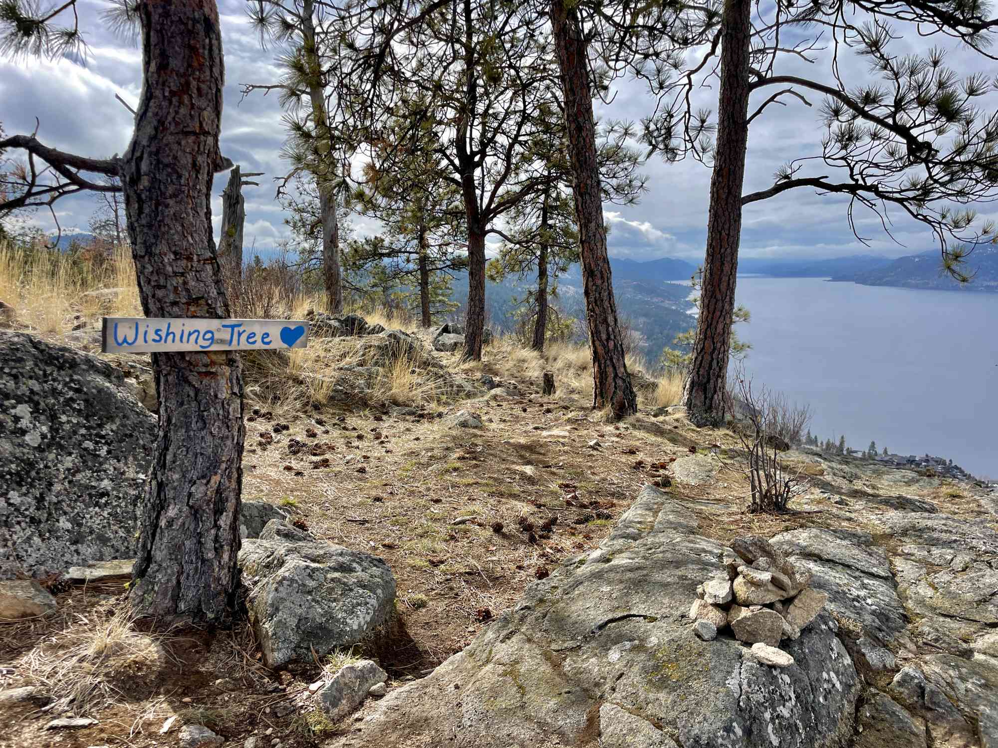
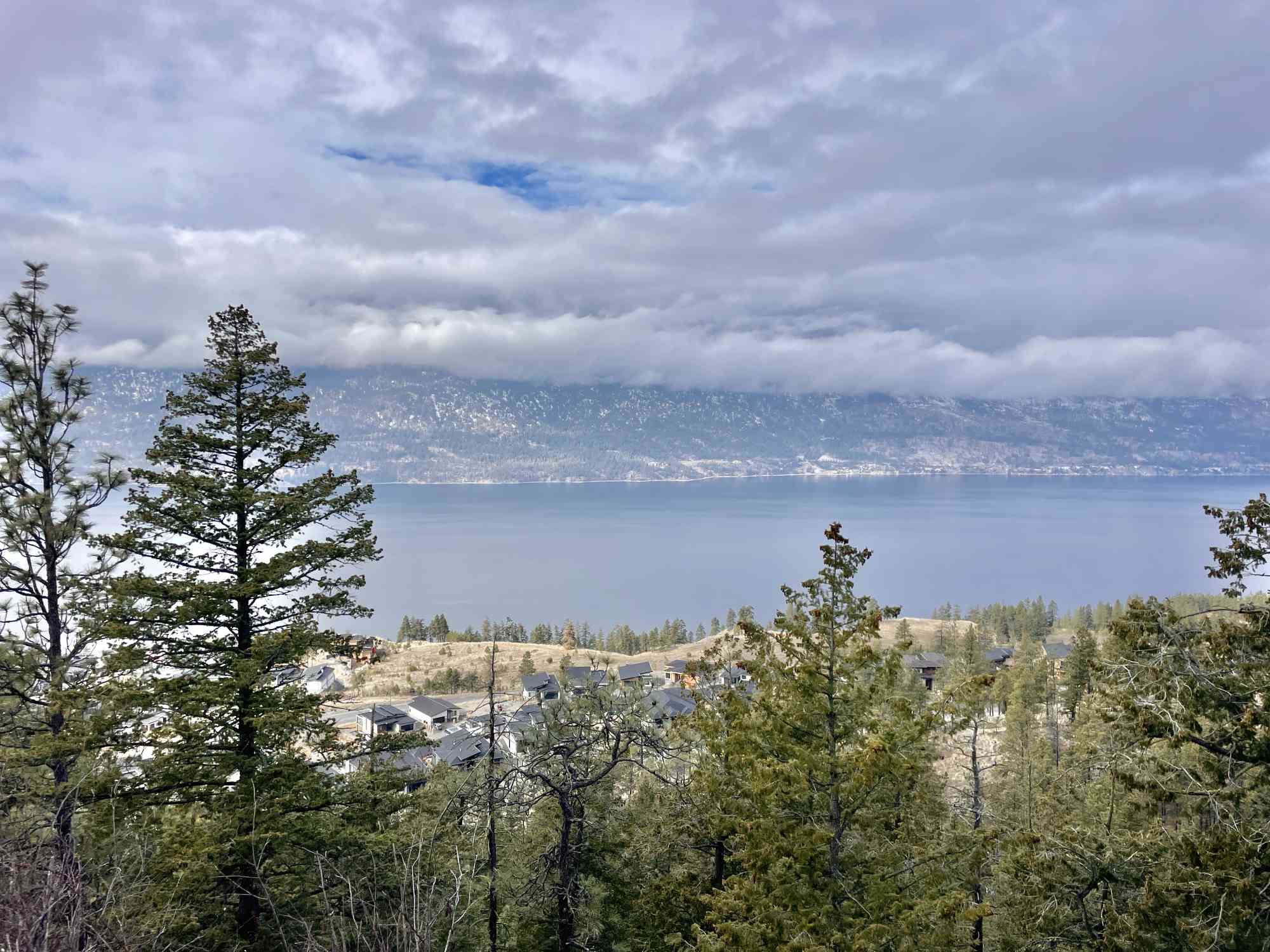
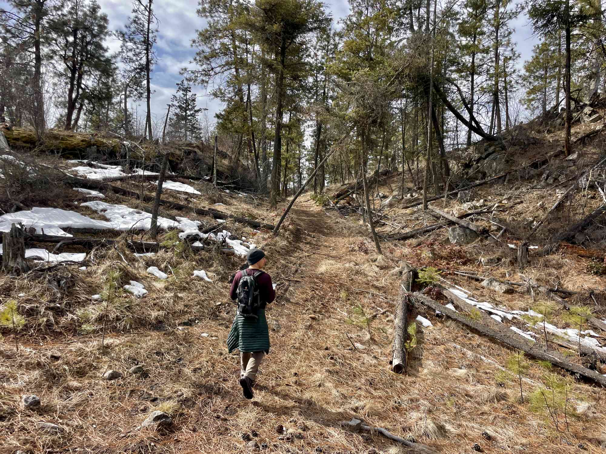
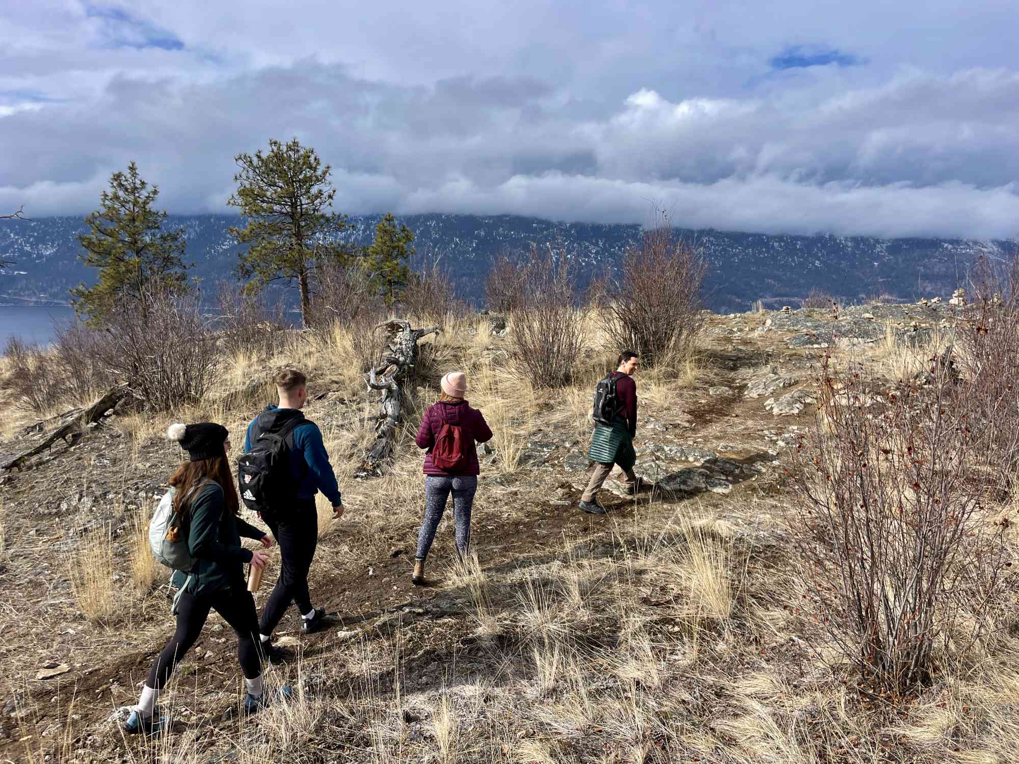
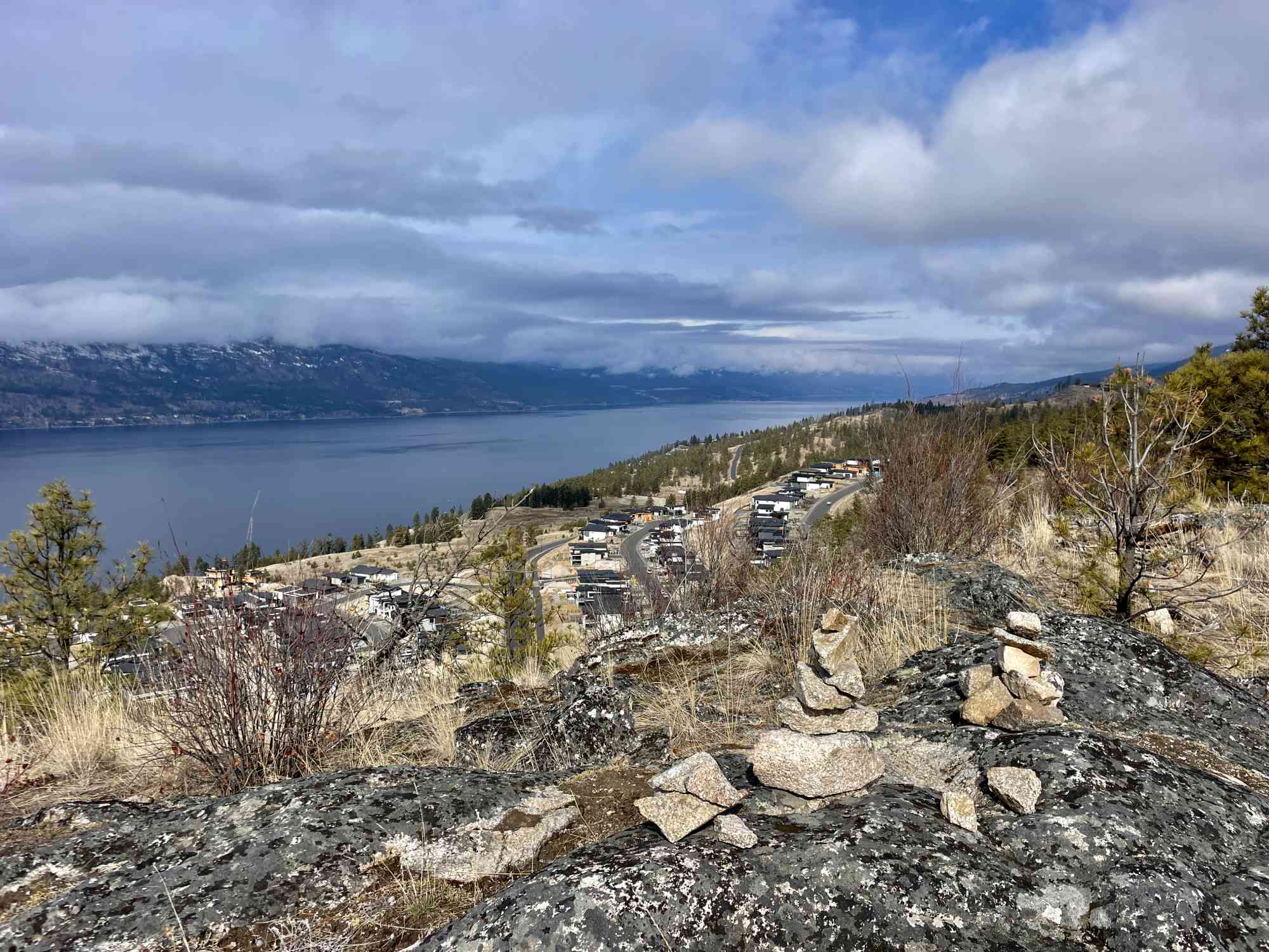
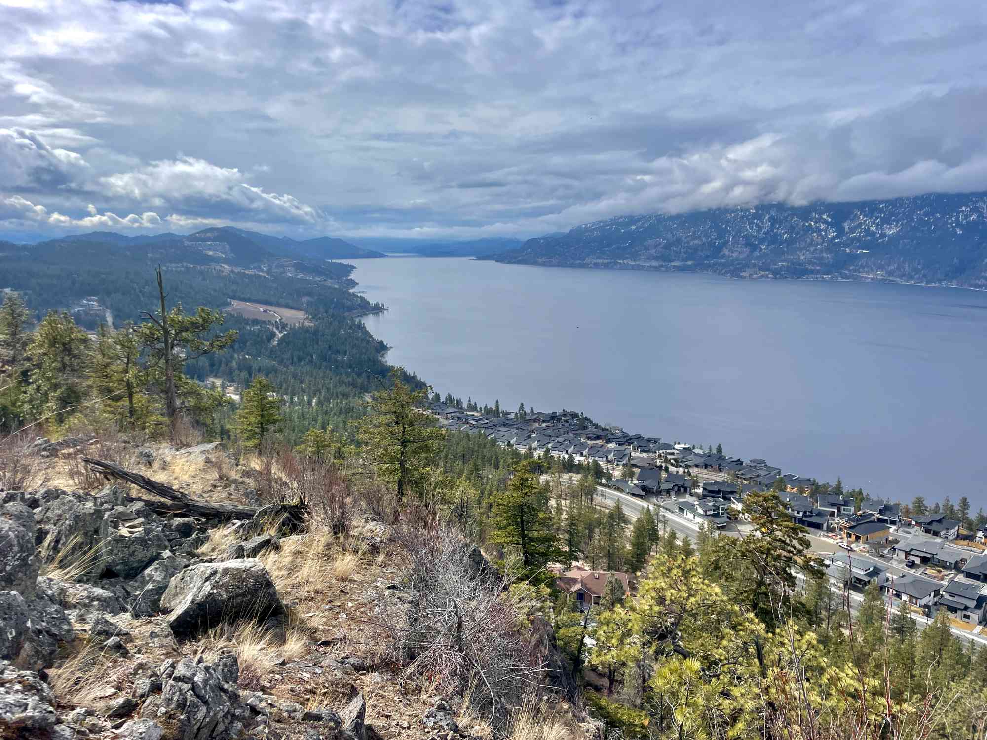
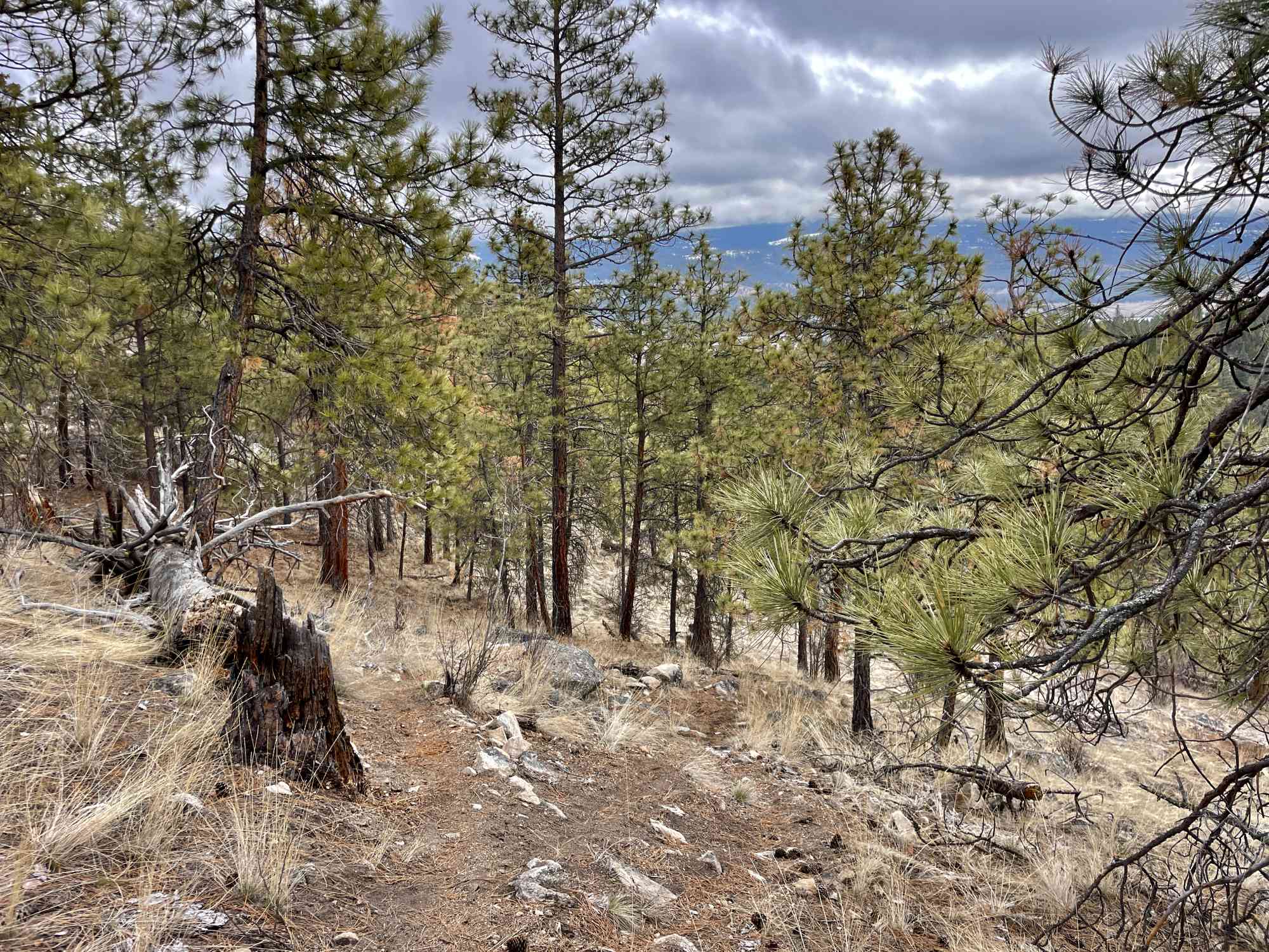
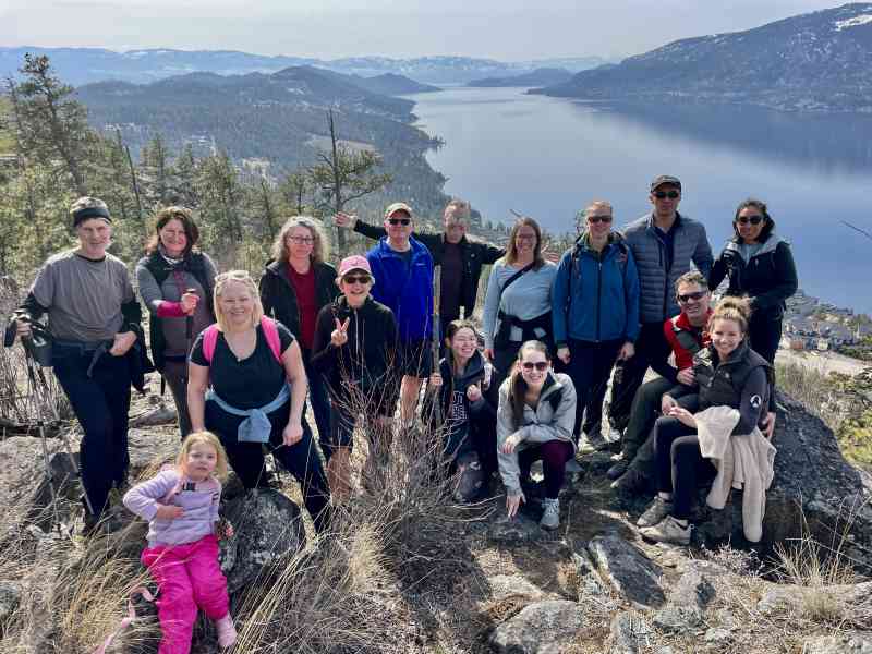
A meandering ridge walk with a stellar view of Okanagan Lake.
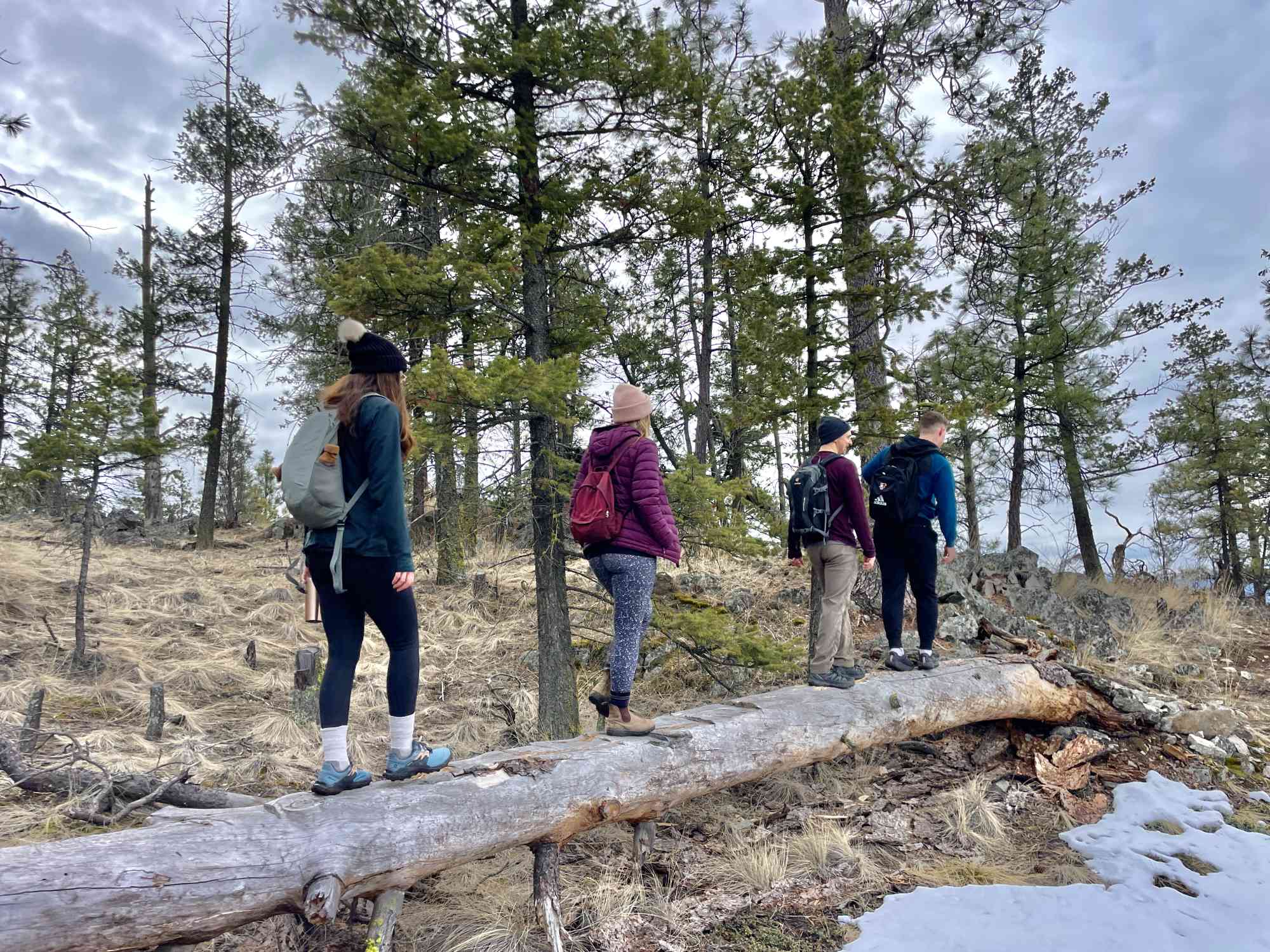
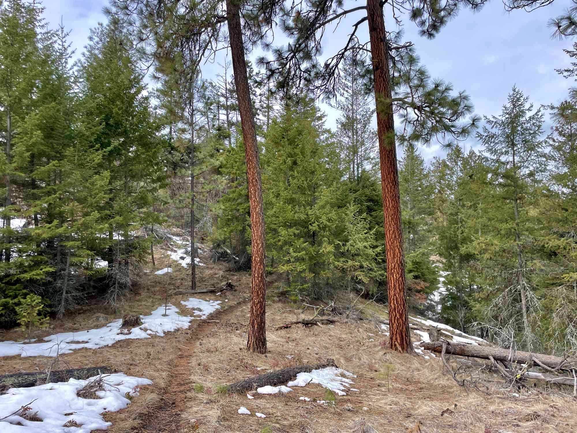
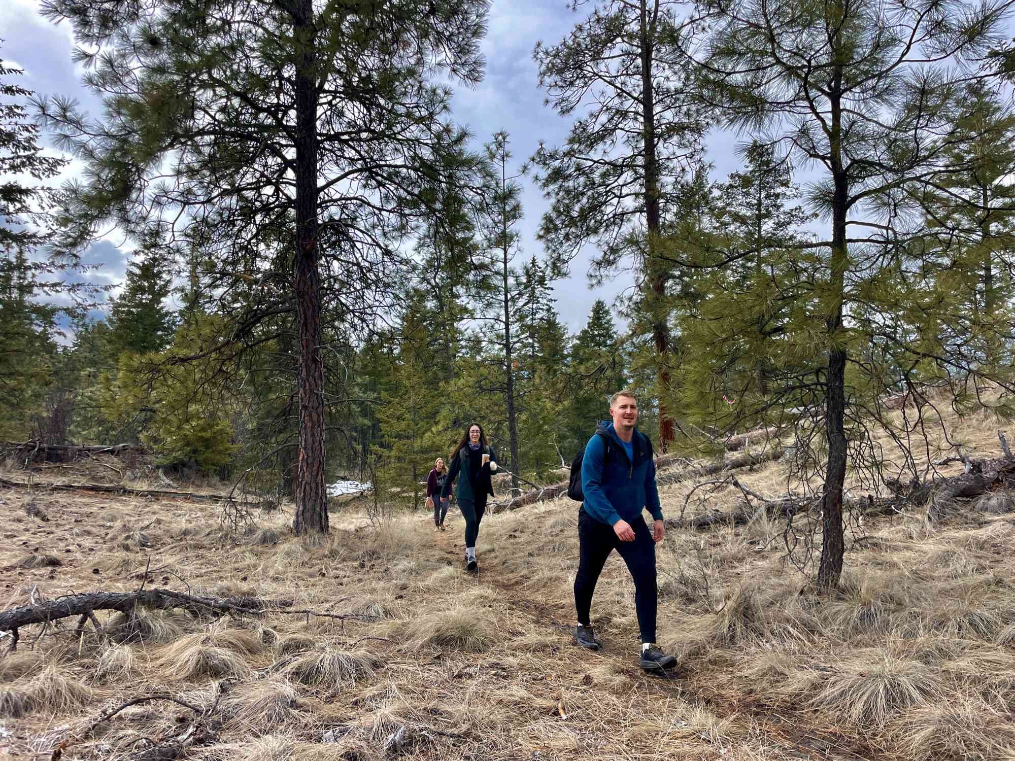
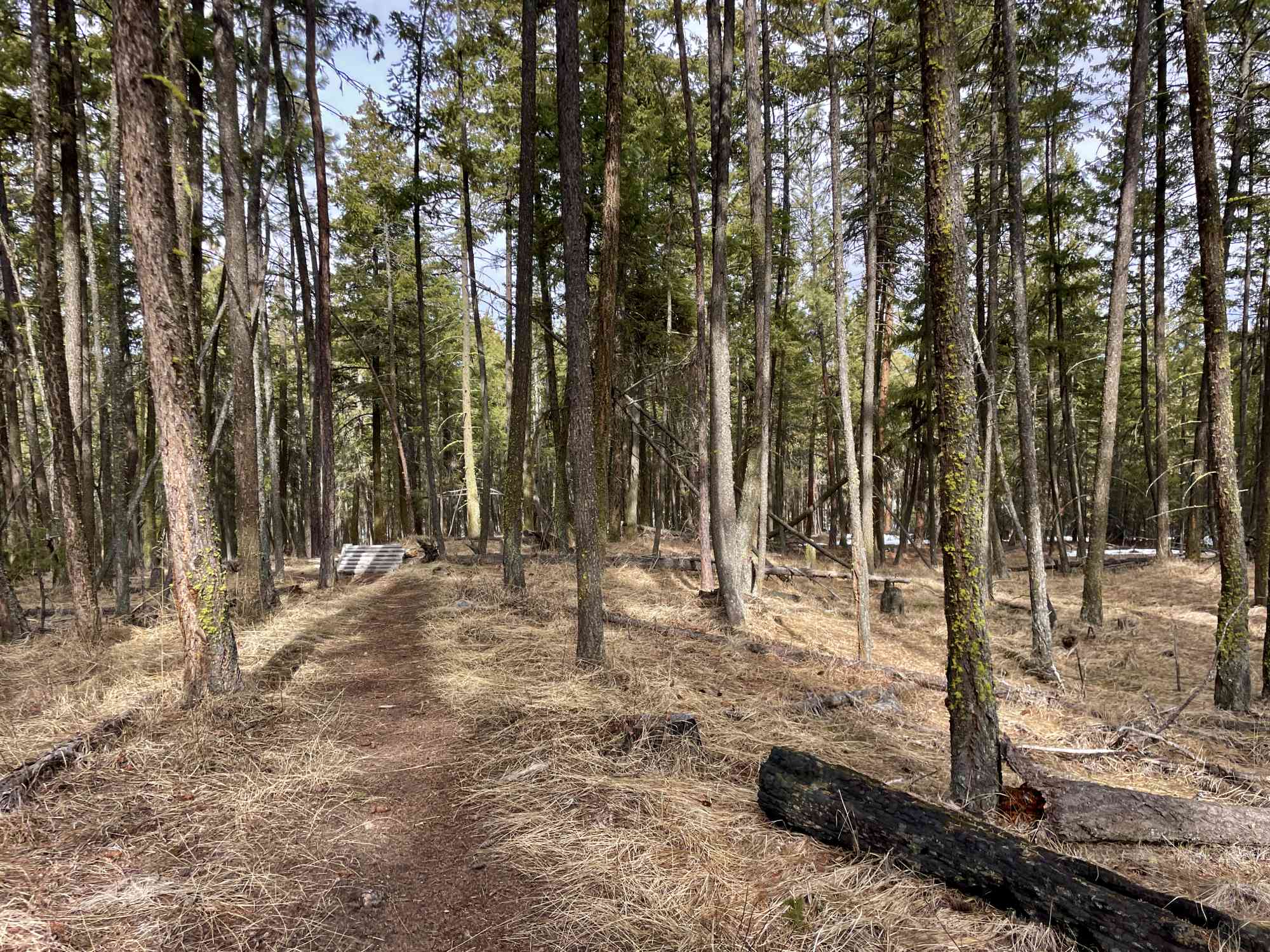
Suitable for almost all skill levels, and frequented by hikers and cyclists alike, this is a smaller network in the midst of a newer subdivision at the Lakestone Community. Create a loop of upwards of 1.5 to 2 hours, depending on skill level.
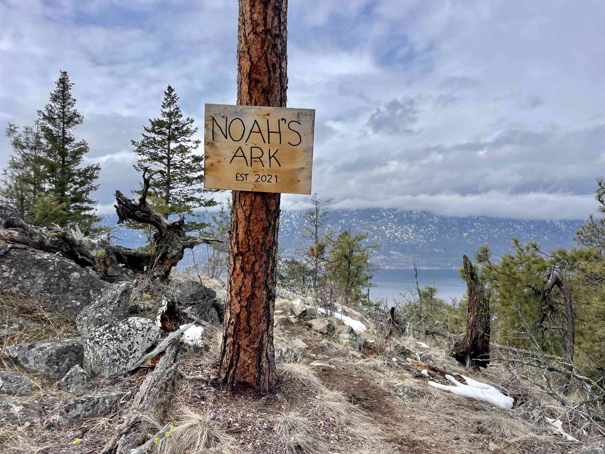
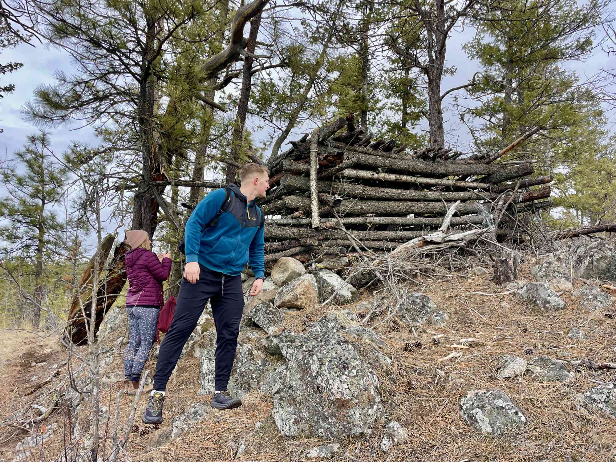
This land is not official parkland, and apparently has been slated for development for residential homes for 2023 onwards.
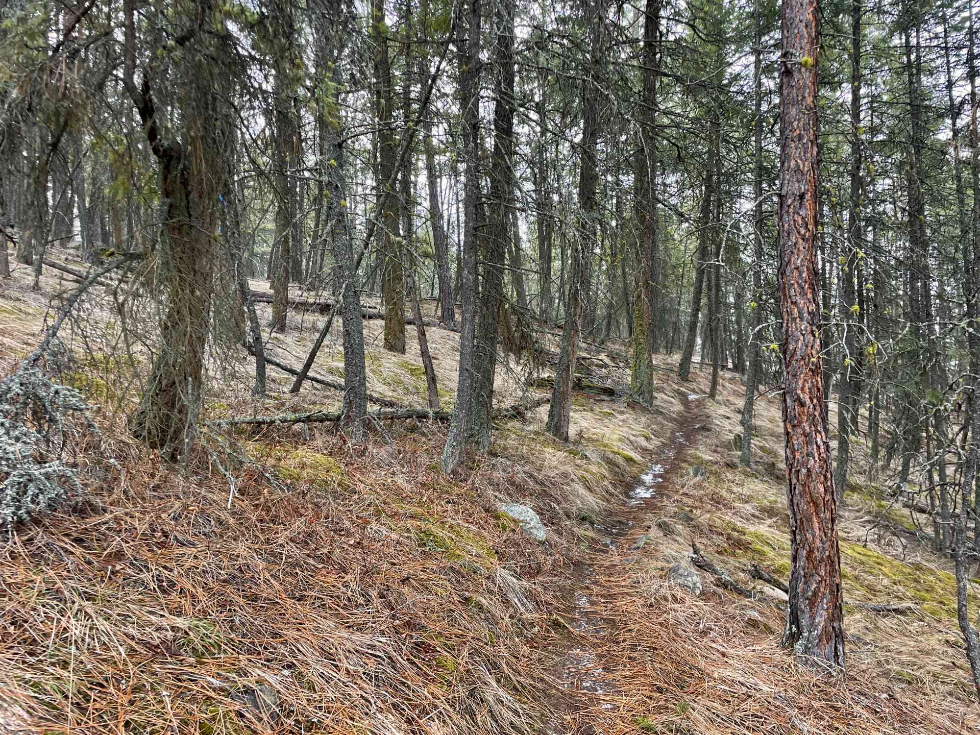
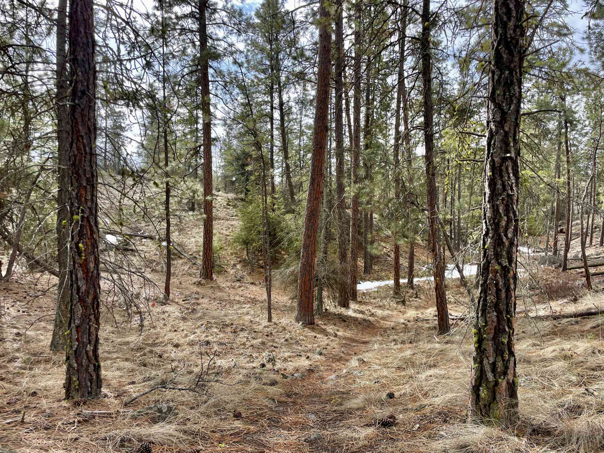
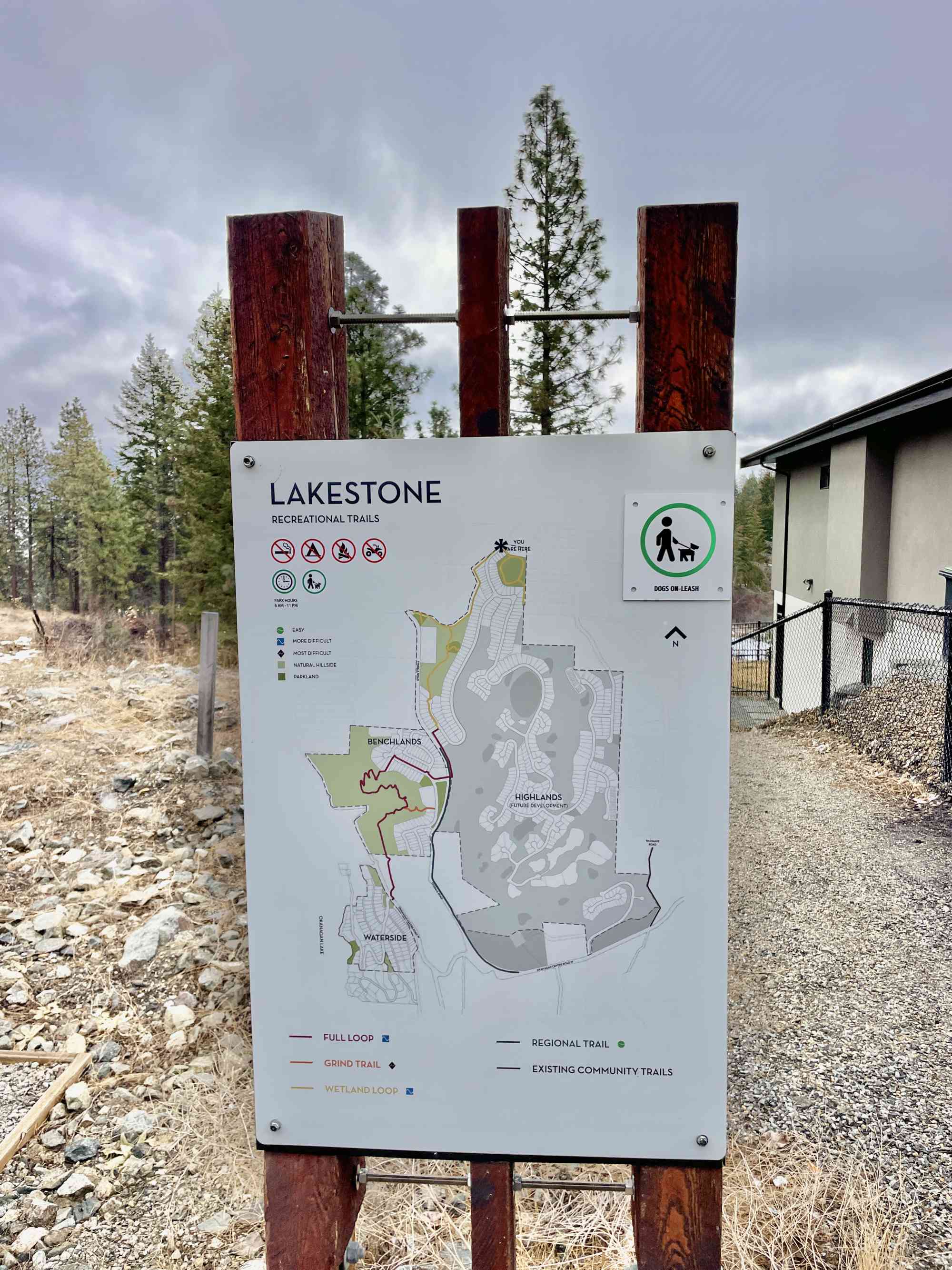
Route
Kids & Pets
Features
Address
Driving Time
From Downtown Kelowna, approximate travel time by car is 21 min.
Notable GPS Co-ordinates
Detailed Directions
This is a new devleopment as of 2023. The directions on GPS may be inaccurate if plotting a route here around this time.
- From downtown Kelowna, follow Celement Ave EAST away from downtown.
- Turn LEFT on Clifton.
- Turn RIGHT onto High Rd
- Turn LEFT onto Glenmore Drive and follow for 14 km
- Turn LEFT onto Okanagan Center Rd W, just prior to Seaton Rd. If you hit Highway 97, you have gone too far.
- Approximately 1.6 km since the last turn, park at the pump house and take the trailhead to the east. This is 400 m WEST of the Lake Country Dog Park at 8756 Okanagan Centre Rd W.
For an alternative entrance to the top of the trail network:
After the last step noted above, turn RIGHT onto Beacon Hill Dr and follow for approx 1 km, and eventually turning RIGHT to stay on Beacon Hill Dr (instead of continuing on Long Rd) and the trailhead begins in the cul-de-sac.
Google Directions
Use our written directions in preference to the Google directions below as they are likely more accurate.
We have a downloadable GPS map for this trail!
Last Updated on Thursday, March 23, 2023
Need help using it? See our FAQ.
Leave a comment
You must Login to post a comment!