
Lac du Bois: Battle Bluff
Lac du Bois: Battle Bluff
Tranquille
30 min from Kamloops,BC
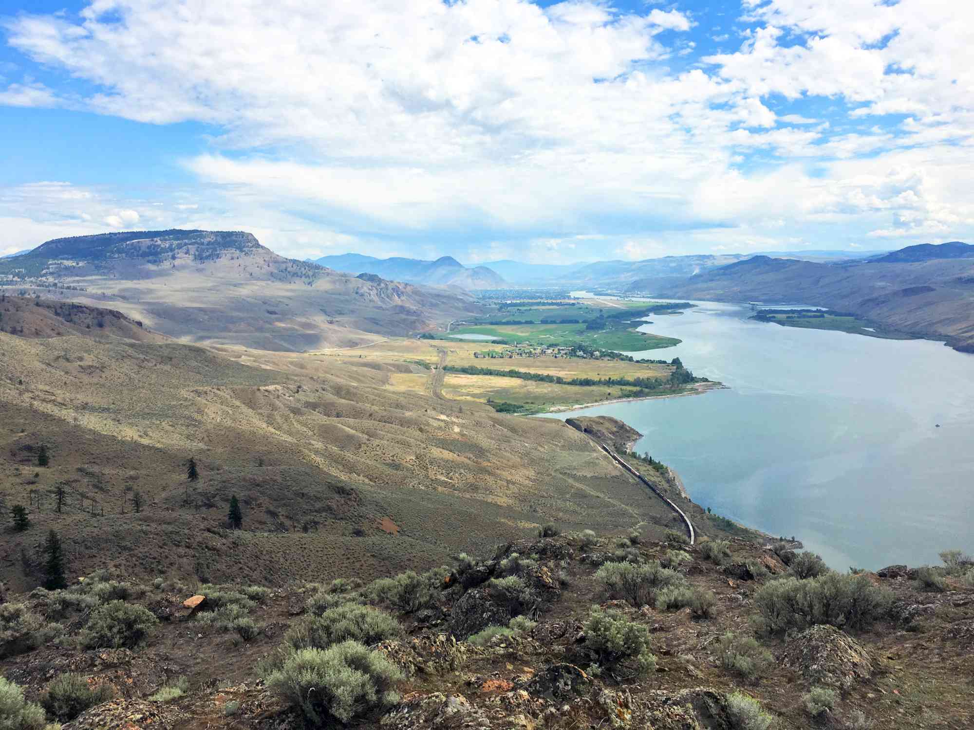
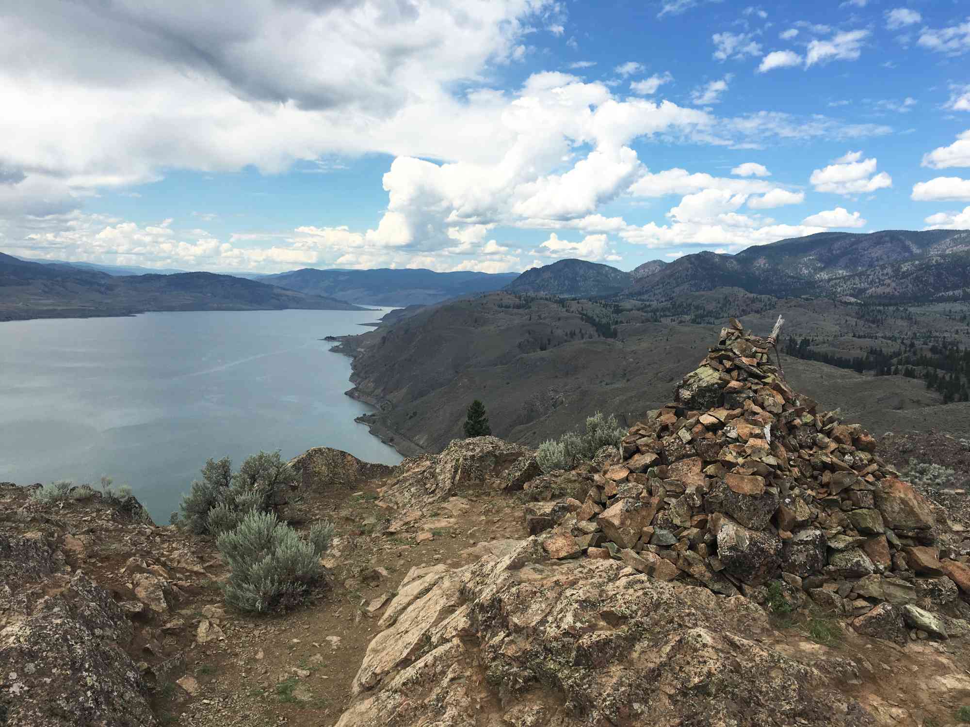
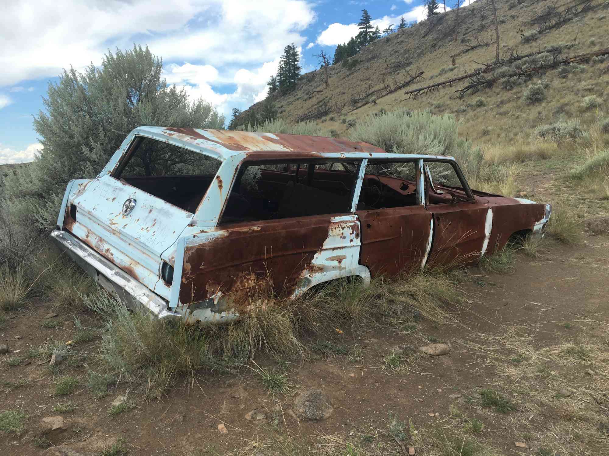
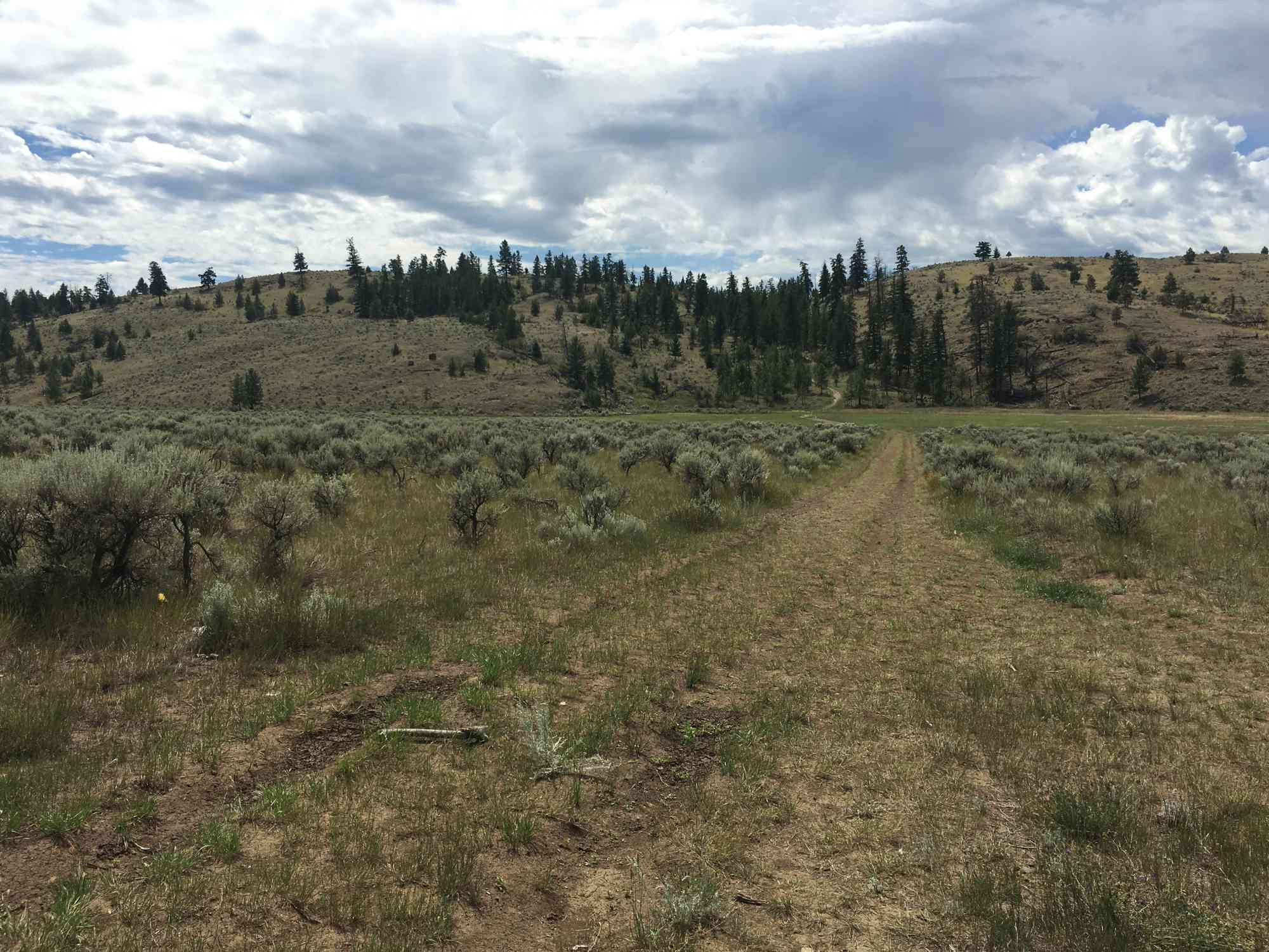
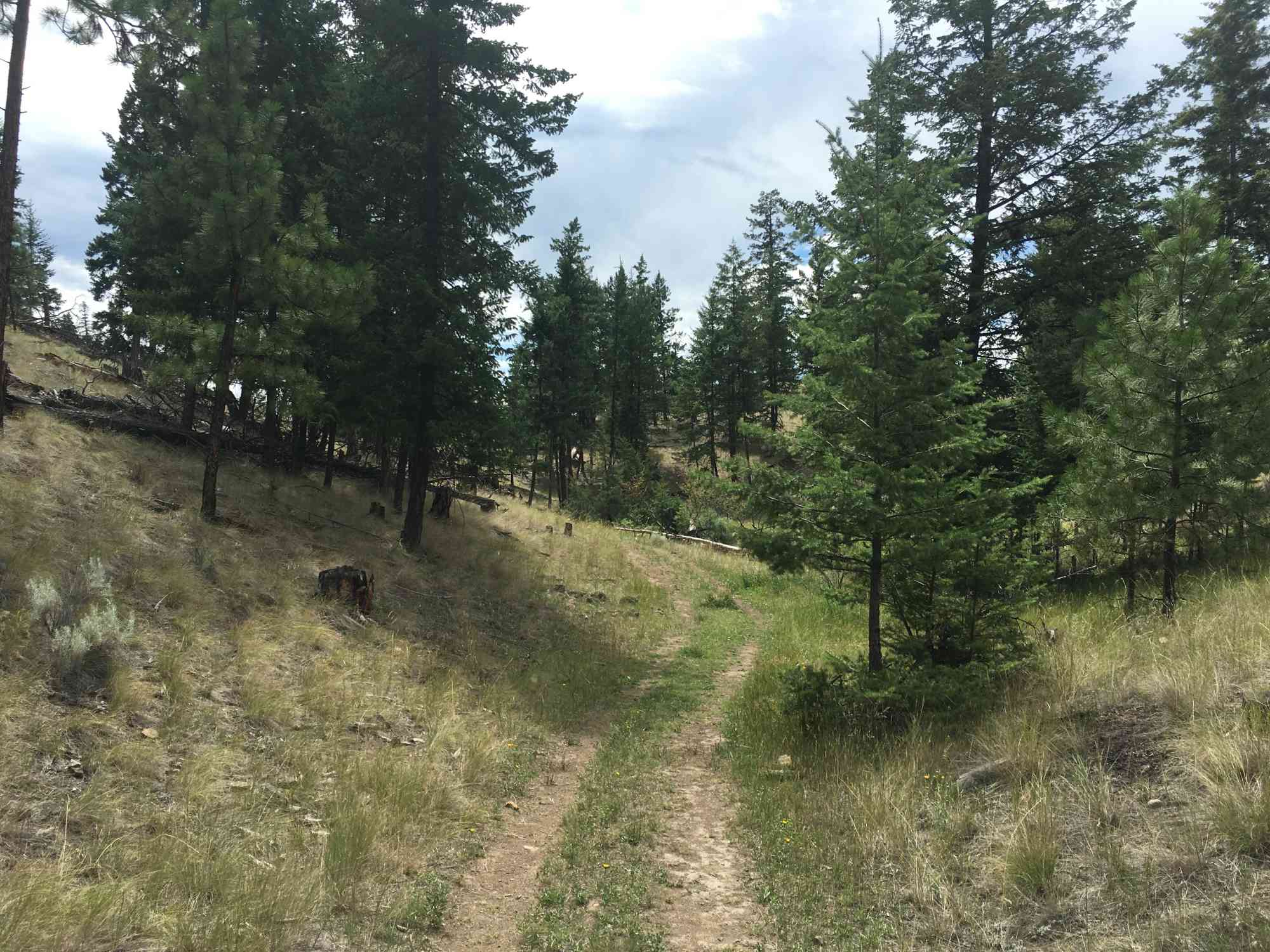
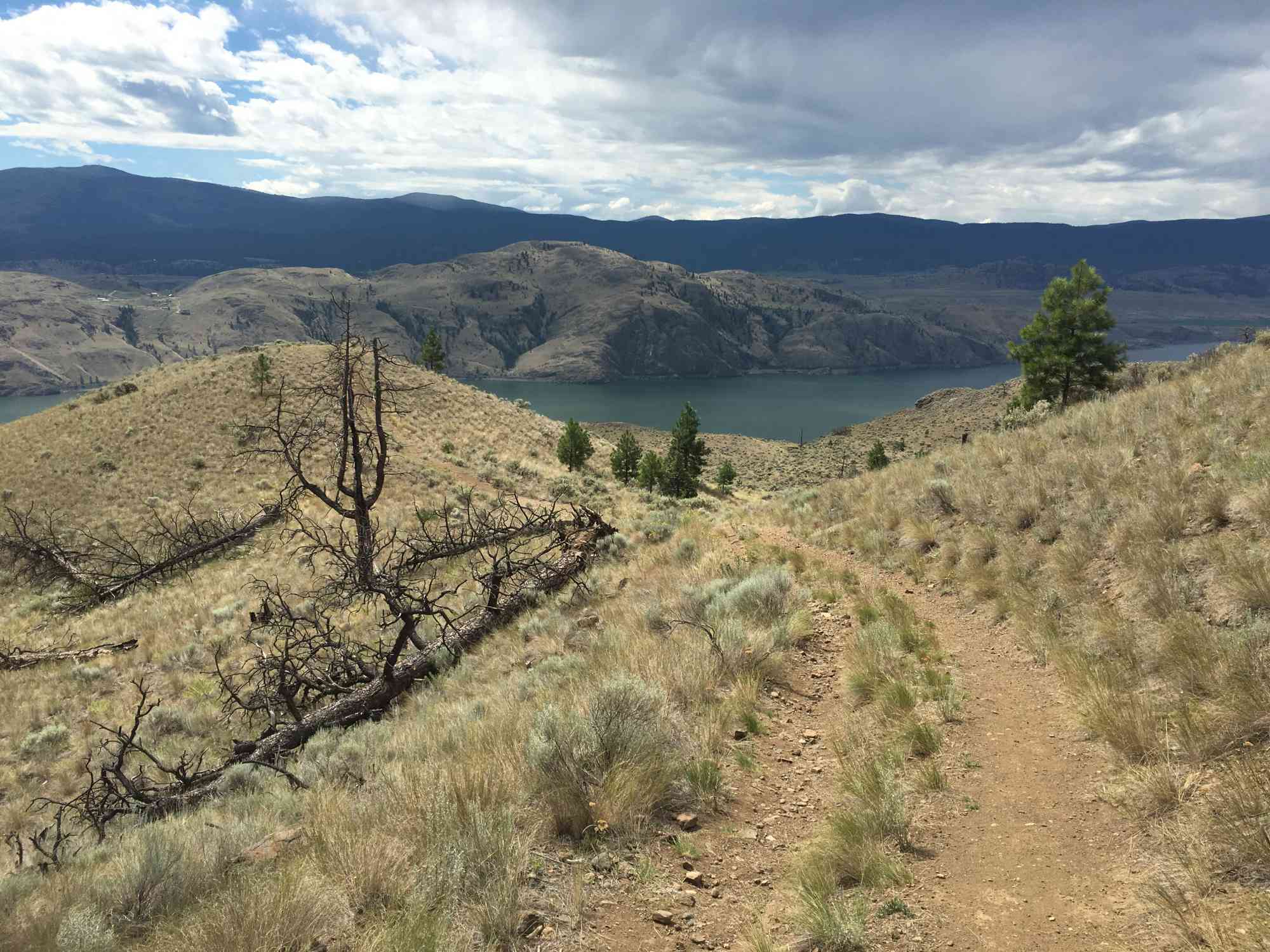
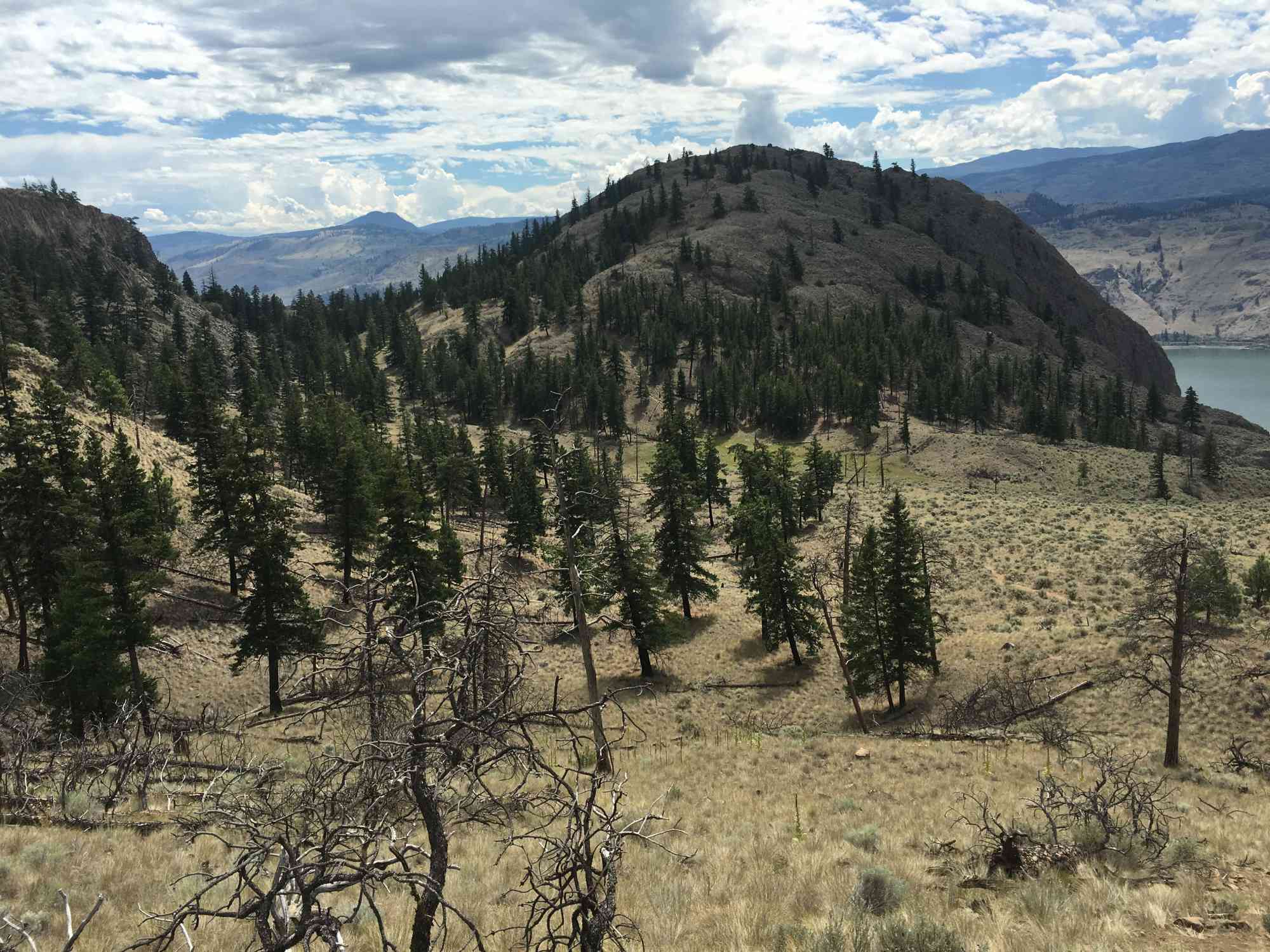
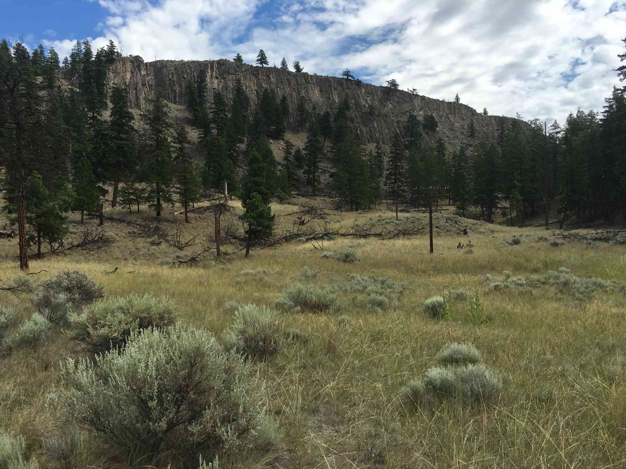
Frederick Road, Savona, BCThis short hike in the Lac du Bois grasslands begins crossing a flat meadow which is reminiscent of the old wild west, before beginning a mild ascent over the first hill, down past an old abandoned car, and up the final ascent for a panoramic view over the Thompson River. Tranquille Farm (Padova) is visible in the foreground, and the city of Kamloops a distant afterthought on the horizon. The trail is marked primarily with usage rather than signage; however, there are a couple signs with arrows to keep hikers on the right path.
Route
Kids & Pets
Address
Driving Time
From Kamloops,BC, approximate travel time by car is 30 min.
Notable GPS Co-ordinates
Detailed Directions
2) Turn RIGHT onto 8th Ave.
3) Turn LEFT onto Ord Rd.
4) Turn RIGHT onto Tranquille Rd.
5) Turn RIGHT after 5.4 km, and continue up the hill across the railway tracks instead of heading towards Tranquille Farms/Padova.
6) Turn LEFT after 4.1 km onto the dirt road (Frederick Rd: unlabelled)
7) After 1.4 km, park on the parking spot on your left.
Google Directions
Use our written directions in preference to the Google directions below as they are likely more accurate.
Linear Trail
We have a downloadable GPS map for this trail!
Last Updated on Thursday, March 23, 2023
Need help using it? See our FAQ.Map Waypoints
GPS Notes
Leave a comment
You must Login to post a comment!