
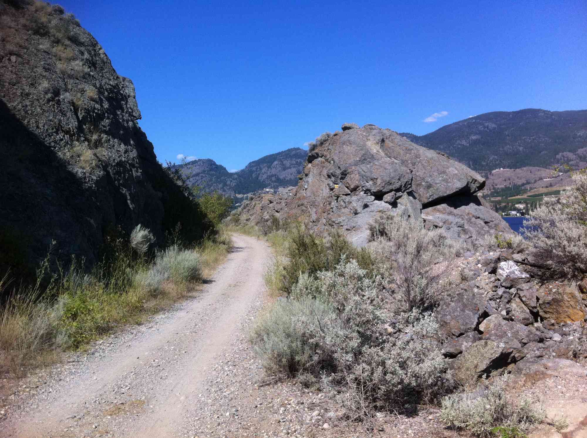
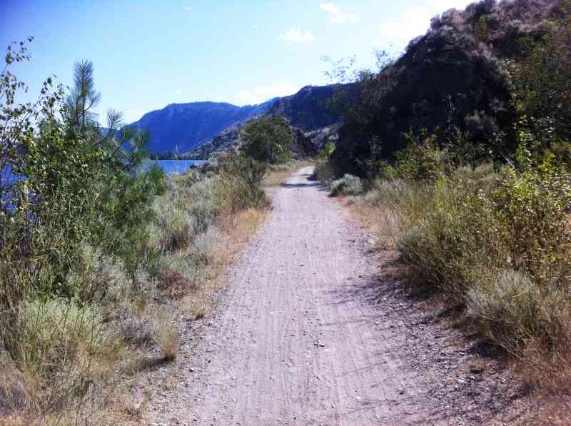
KVR: OK Falls to Ponderosa Point
KVR: OK Falls to Ponderosa Point
Downtown OK Falls
1 min from Downtown OK Falls
700 Railway Ln, Okanagan Falls, BC V0H 1R4, CanadaOkanagan Falls was named after its small twin waterfalls. Although they are no longer heavily cascading due to the flood control dam installed in the 1950s, the gentle rapids are still viewable at the Southern end of Skaha Lake.
On the West Side of the Okanagan River, you can follow a trail through the campground and continue out towards the park boundary. Along this trail lookout for birds, wildflowers, plants and wildlife. Animals spotted frequently include bighorn sheep, elk, bats, cougar, moose and bears.
Several fishing opportunities await for those interested, an interpretative sign create by the Okanagan National Fisheries Commission with information regarding this can be found by the campground.


Route
Kids & Pets
Features
Address
Driving Time
From Downtown OK Falls, approximate travel time by car is 1 min.
Notable GPS Co-ordinates
Detailed Directions
BC Parks Map:
http://www.env.gov.bc.ca/bcparks/explore/map.html
Google Directions
Use our written directions in preference to the Google directions below as they are likely more accurate.
Linear Trail
We have a downloadable GPS map for this trail!
Last Updated on Thursday, March 23, 2023
Need help using it? See our FAQ.GPS Notes
Leave a comment
You must Login to post a comment!