
Knox: Paved Path
Knox: Paved Path
Downtown Kelowna
4 min from Downtown Kelowna
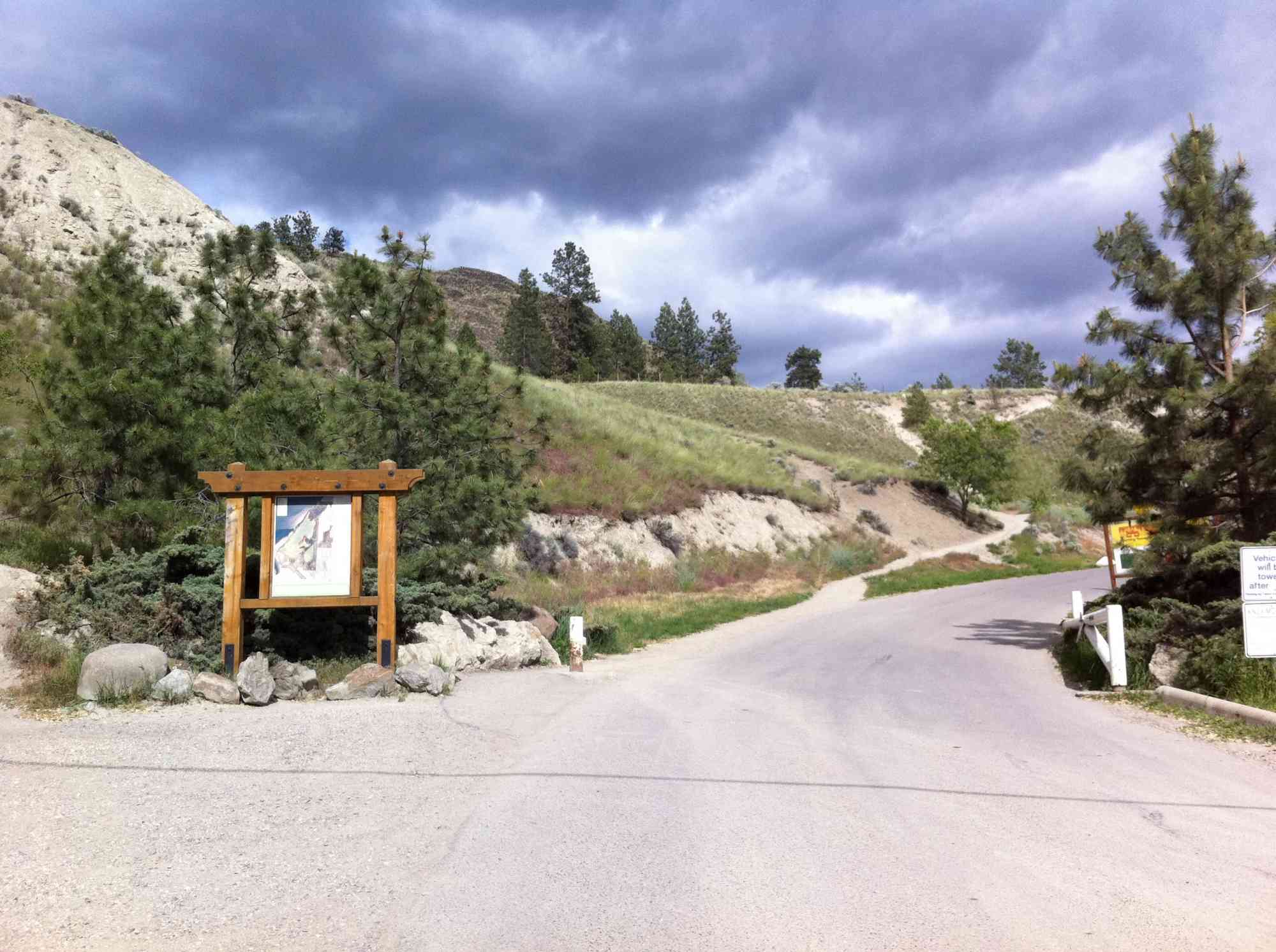
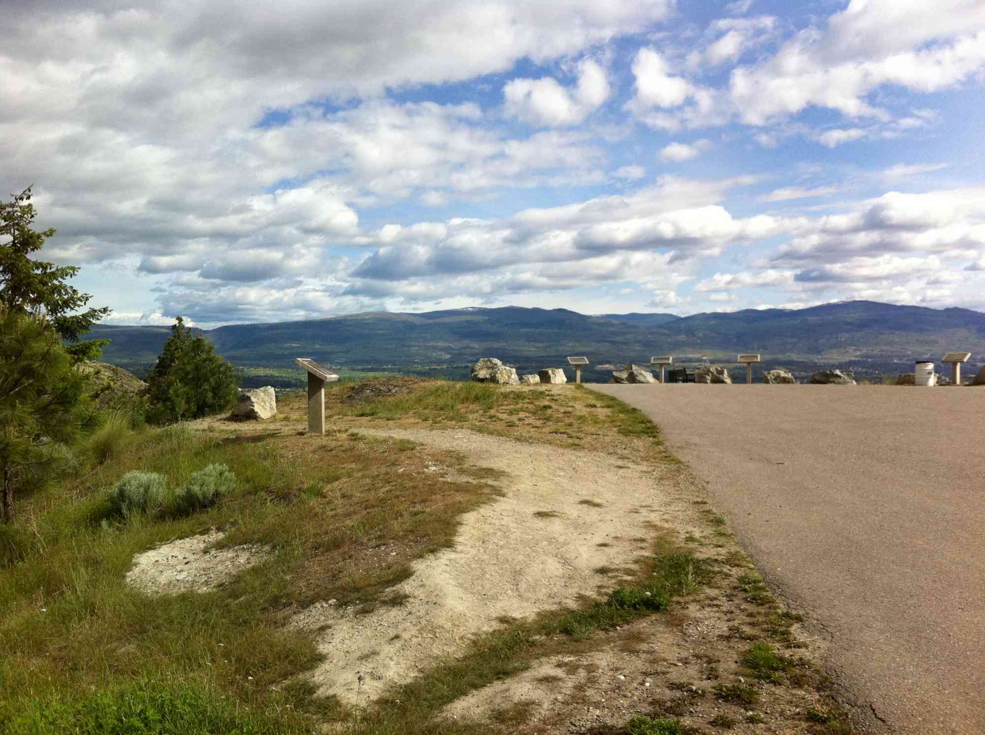
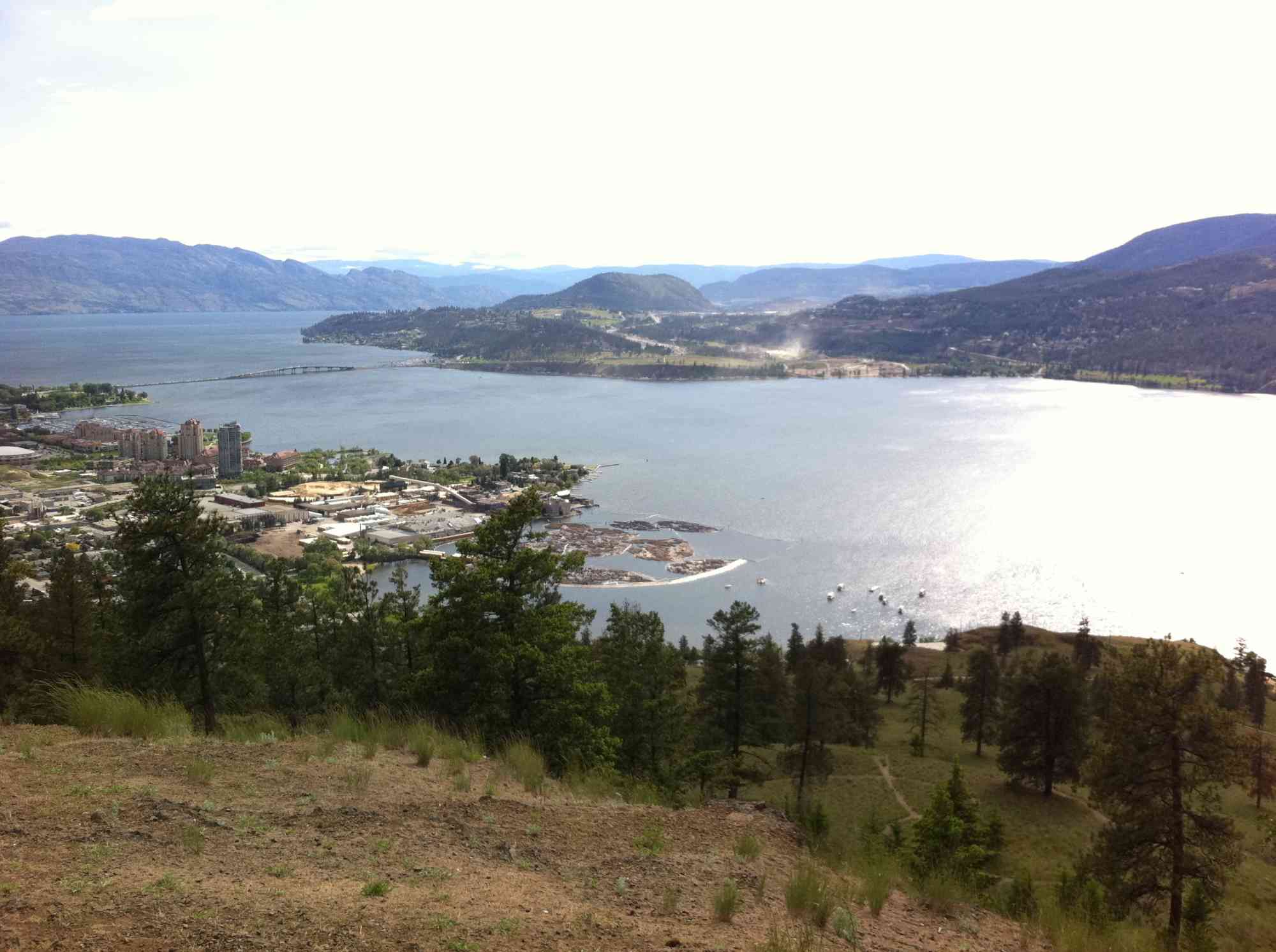
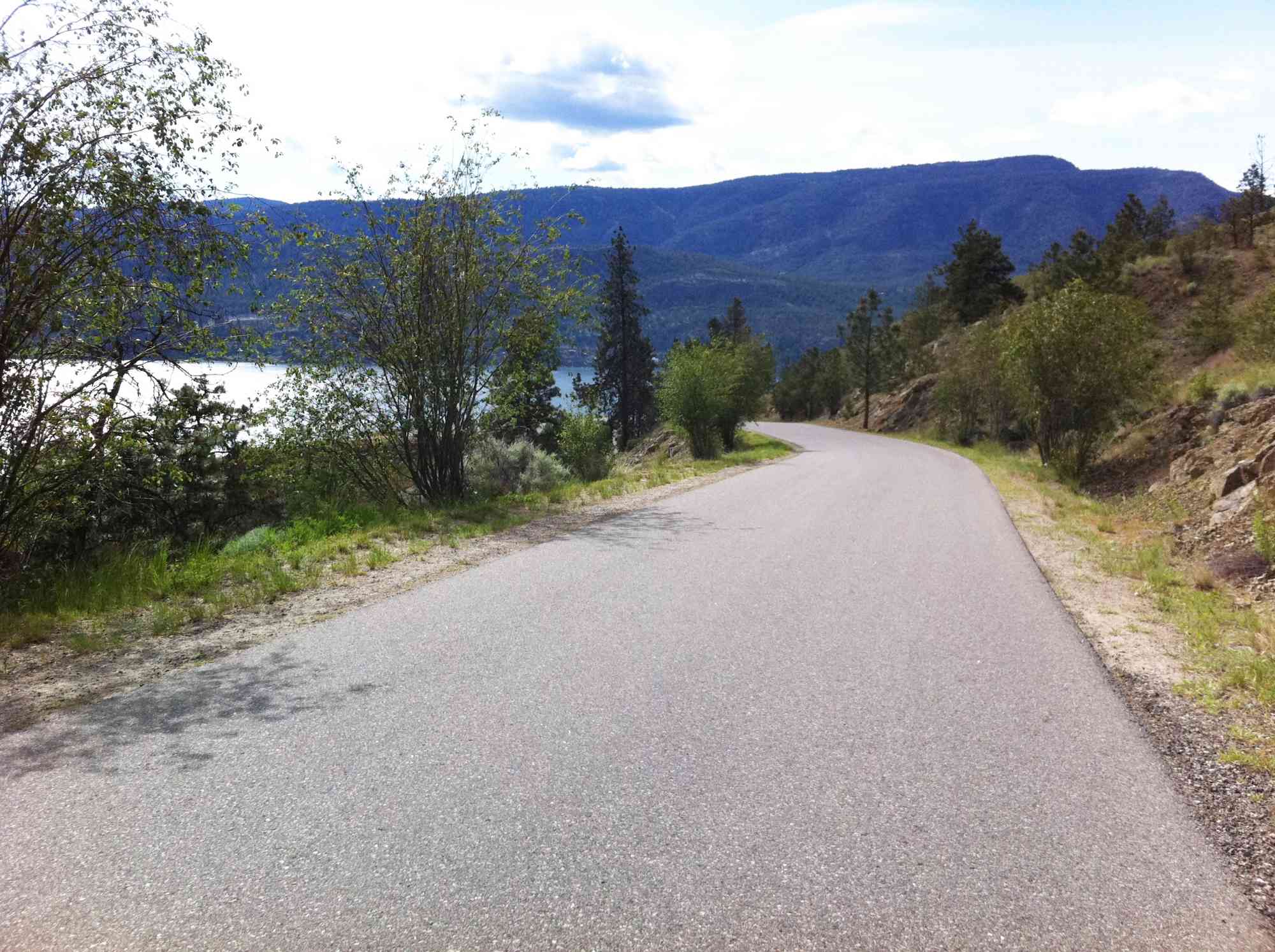
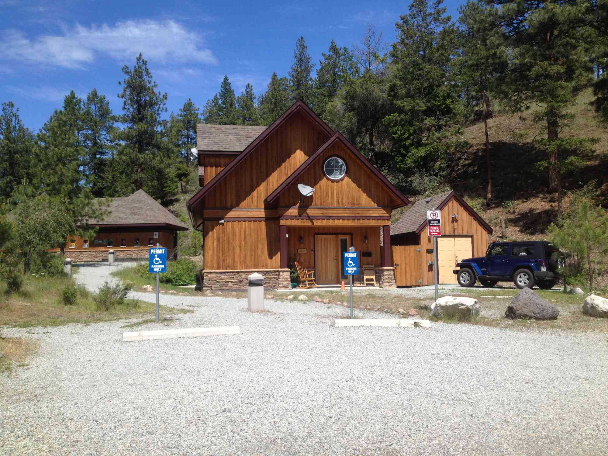
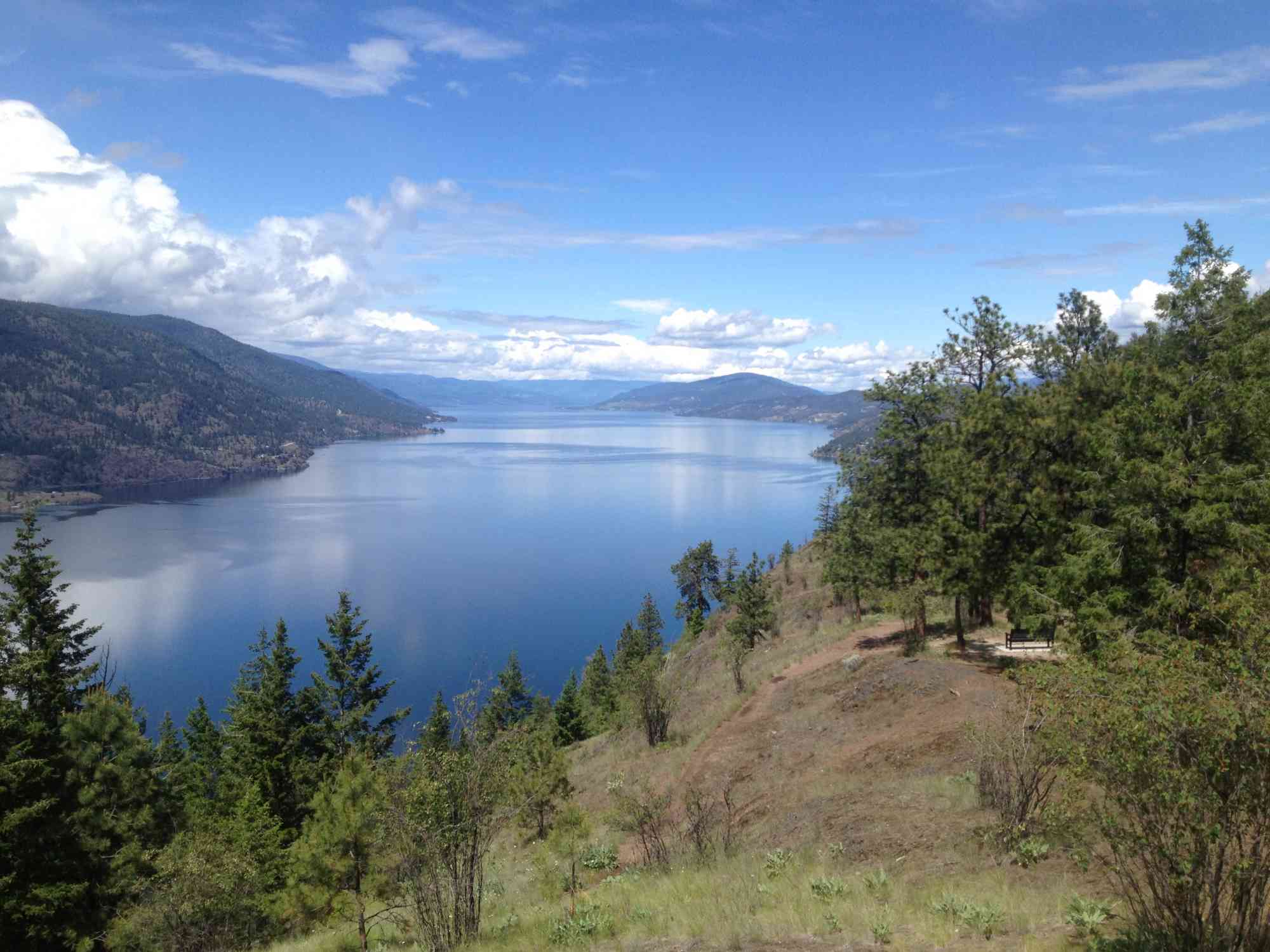
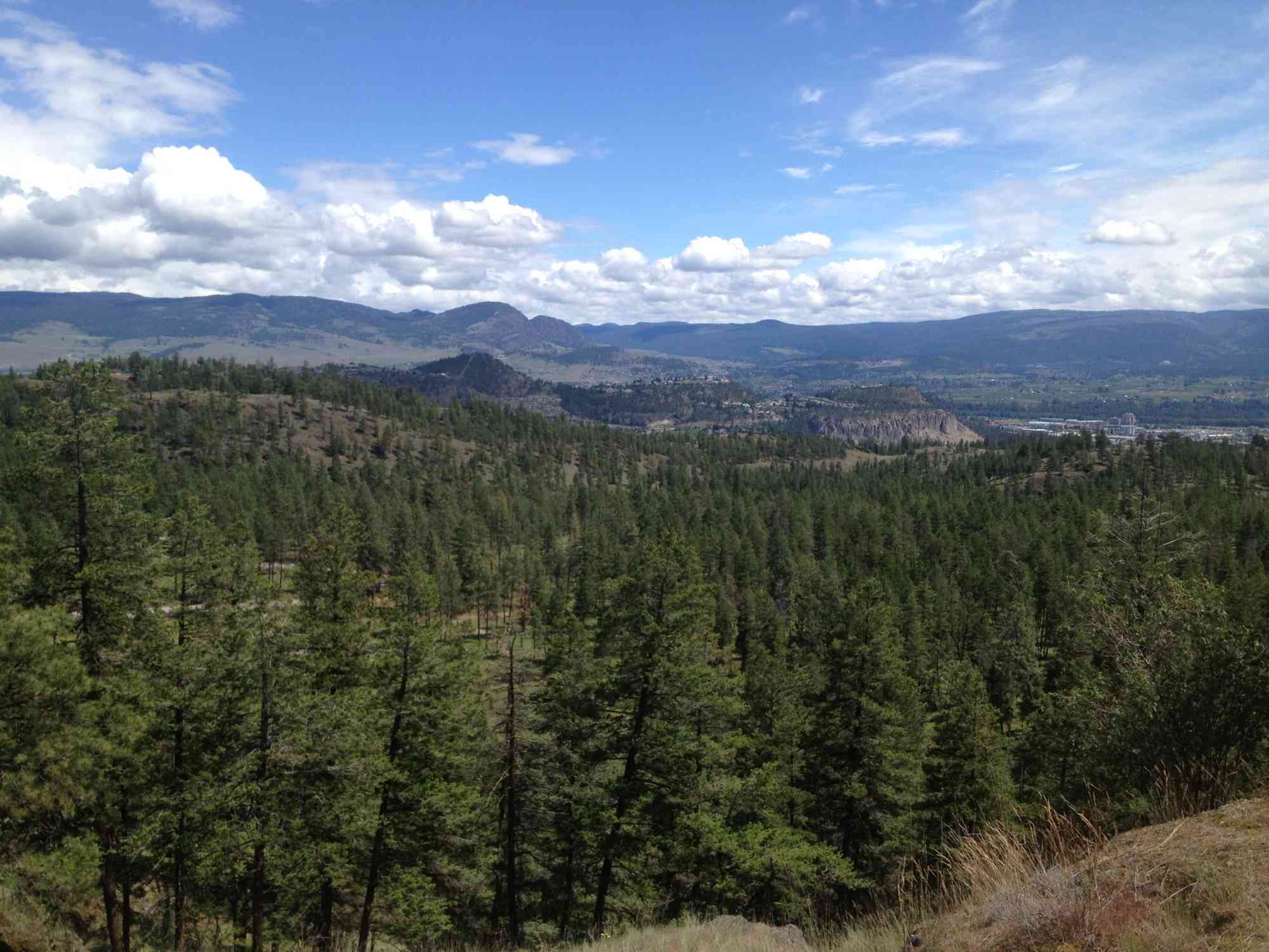
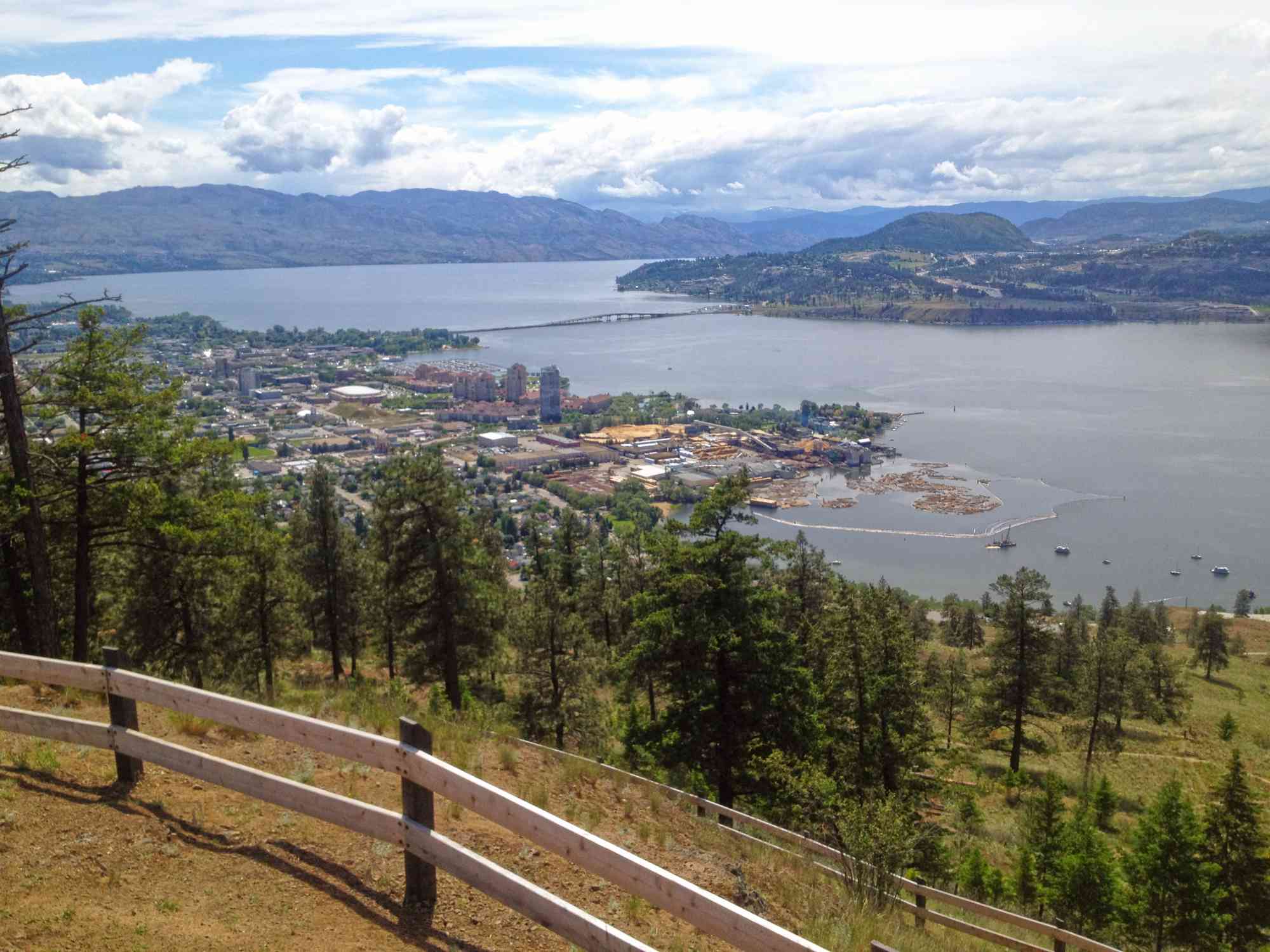
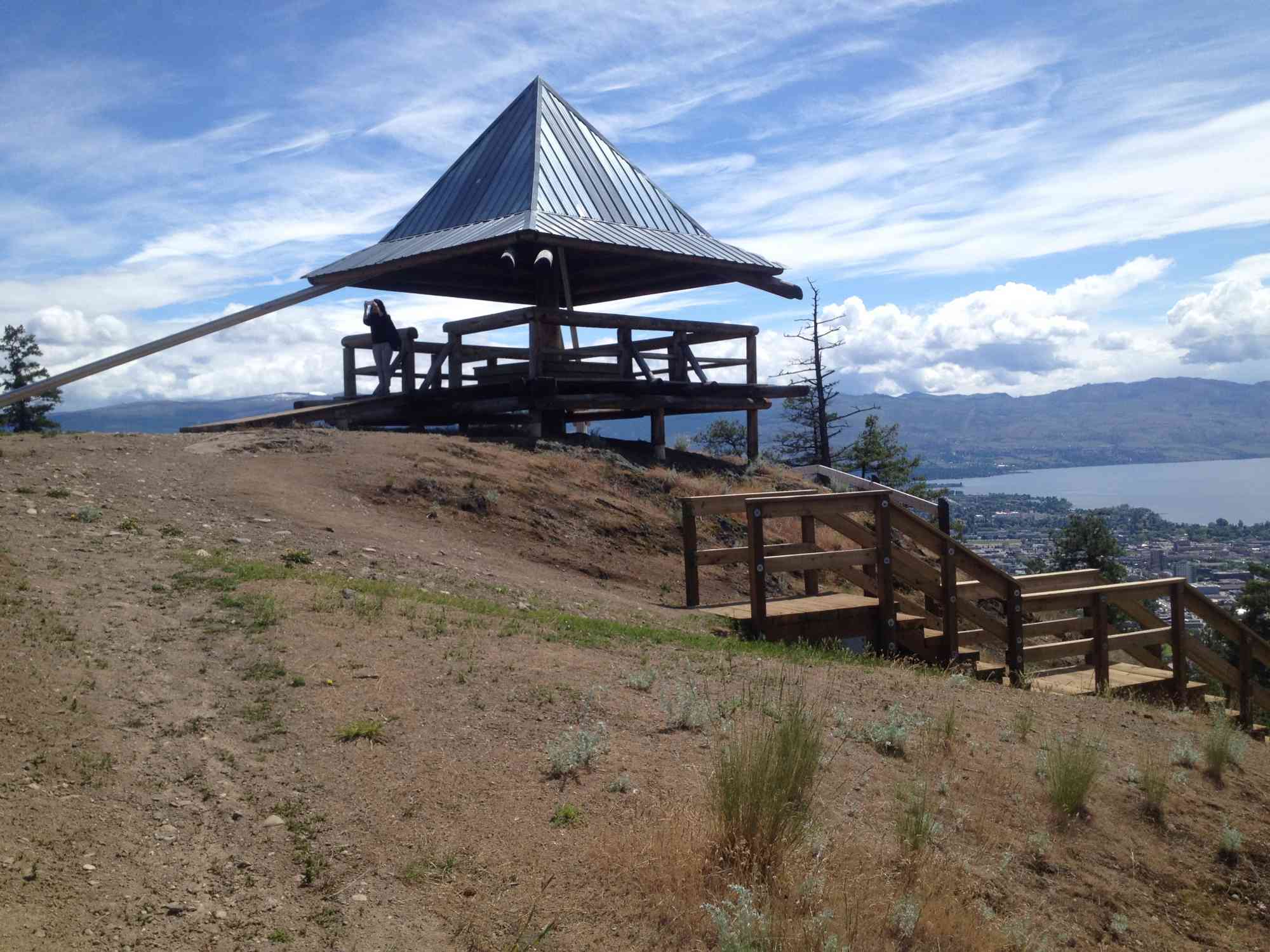
450-920 Knox Mountain Dr, Kelowna, BC V1YThis route is often frequented by families and tourists who want an easier trek to beautiful views overlooking downtown Kelowna and Okanagan Lake.
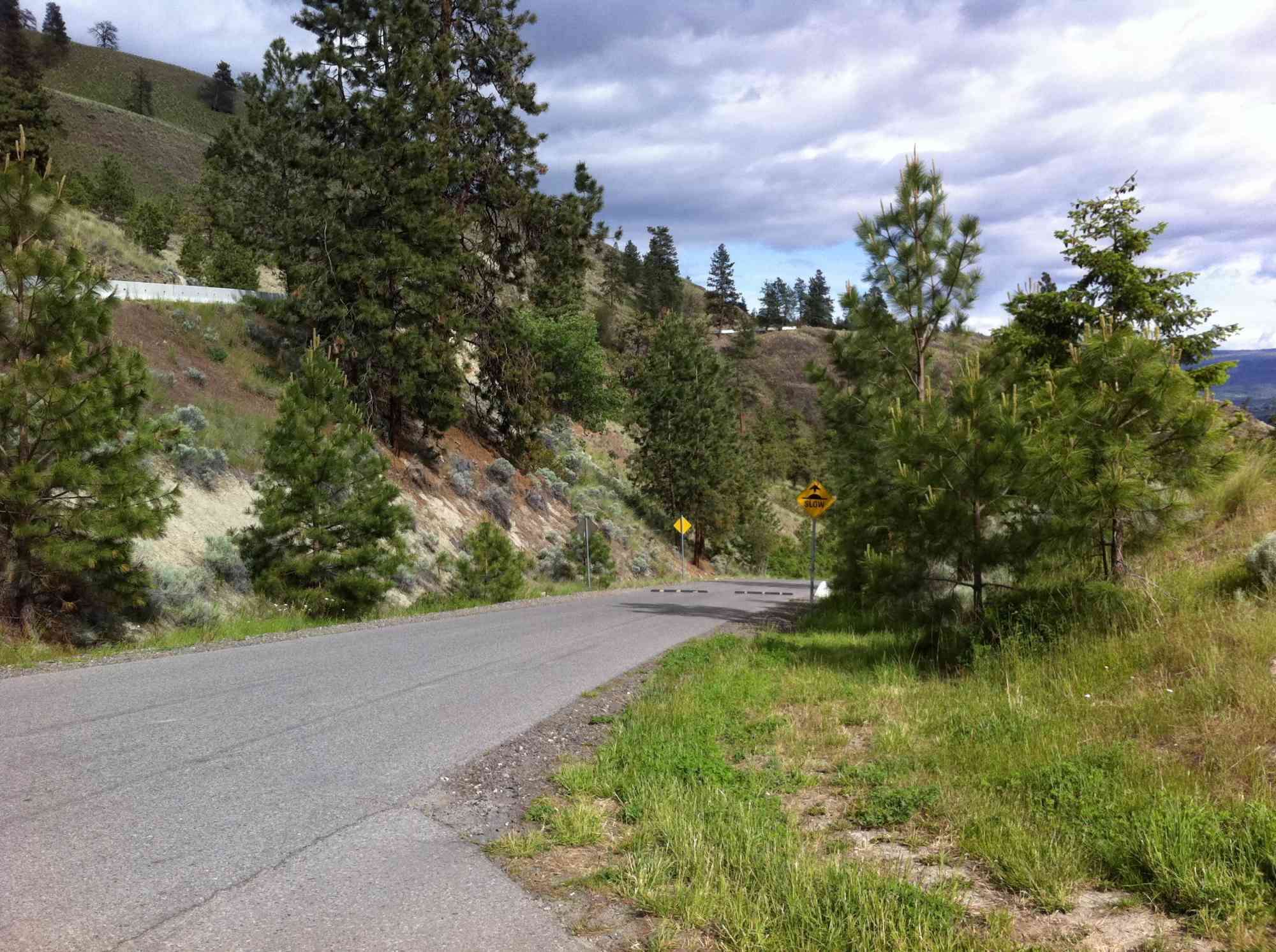
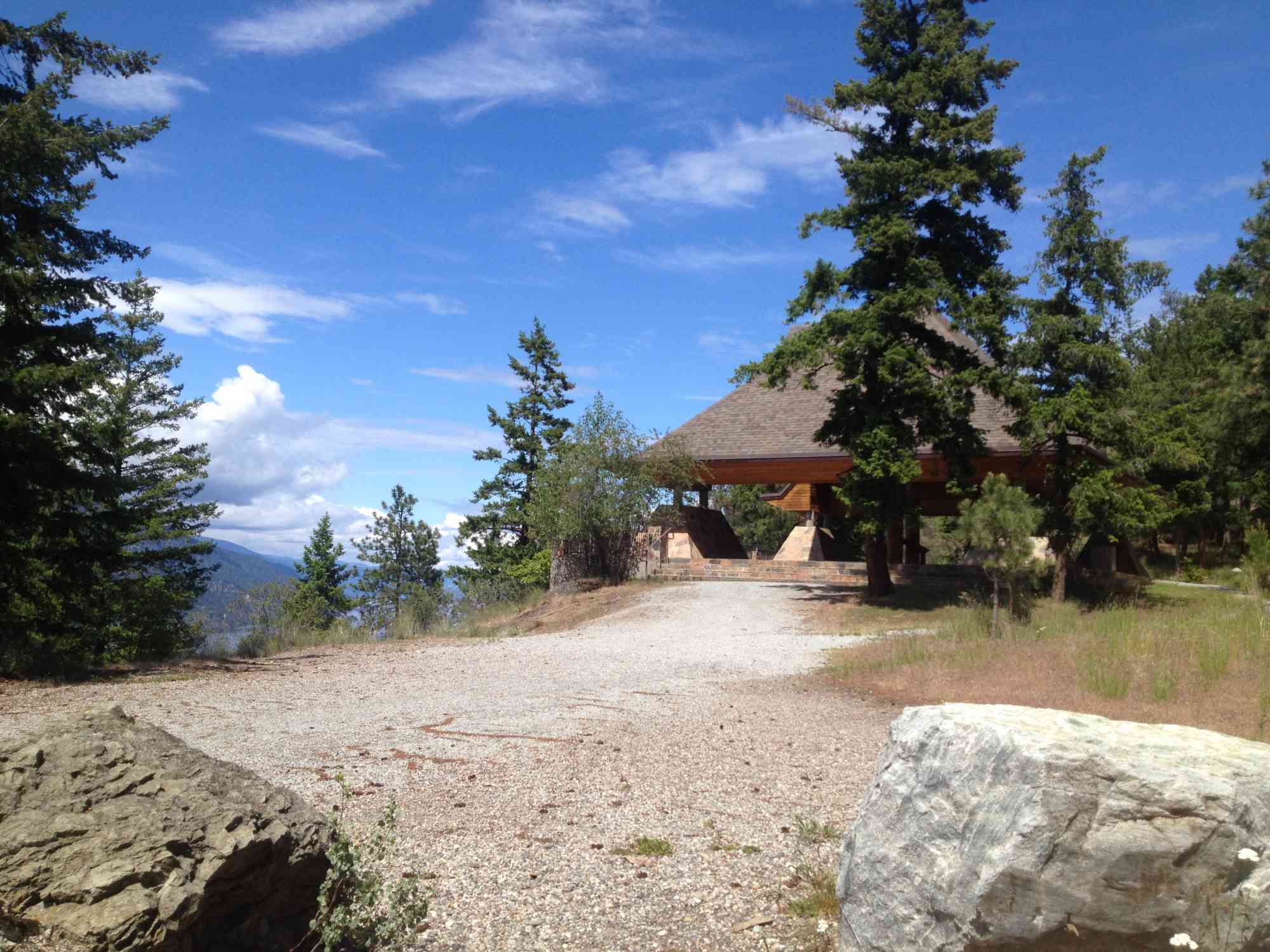
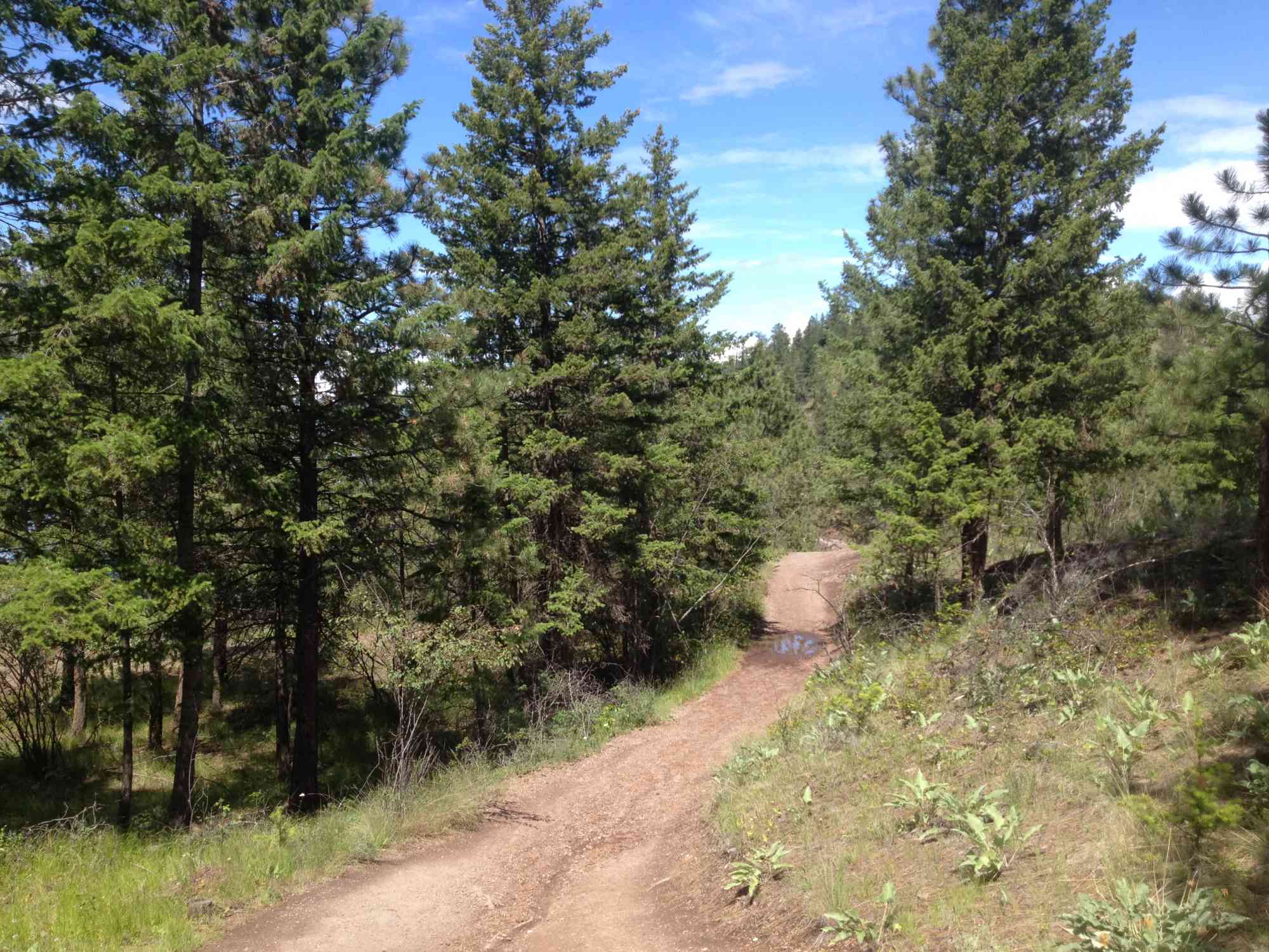
The gravel path takes you to two lookouts and has a slight incline. Once at the second lookout you are given several trail options if you wish to extend your hike.
The mountain is home to several types of wildflower, plants and animals. Bears may be active in the area, please be aware.
Knox Mountain is currently undergoing phases of restoration, please pay attention to signs and to stay on the path.
Route
Kids & Pets
Features
Address
Driving Time
From Downtown Kelowna, approximate travel time by car is 4 min.
Notable GPS Co-ordinates
Detailed Directions
Google Directions
Use our written directions in preference to the Google directions below as they are likely more accurate.


Linear Trail
We have a downloadable GPS map for this trail!
Last Updated on Thursday, March 23, 2023
Need help using it? See our FAQ.Map Waypoints
GPS Notes
Leave a comment
You must Login to post a comment!