
Knox: Kathleen Lake and Summit
Knox: Kathleen Lake and Summit
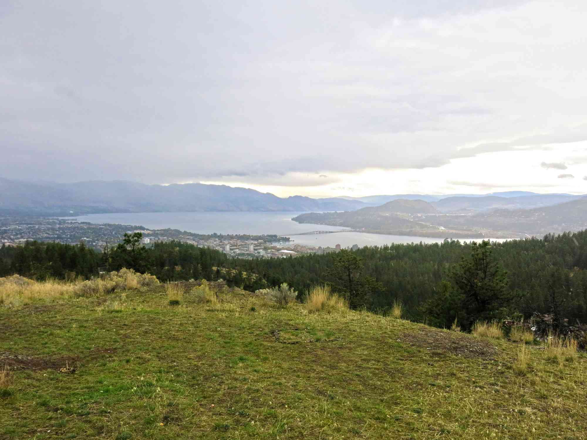
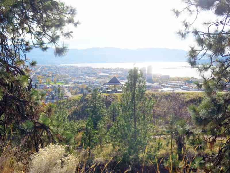
Downtown Kelowna
8 min from Downtown Kelowna
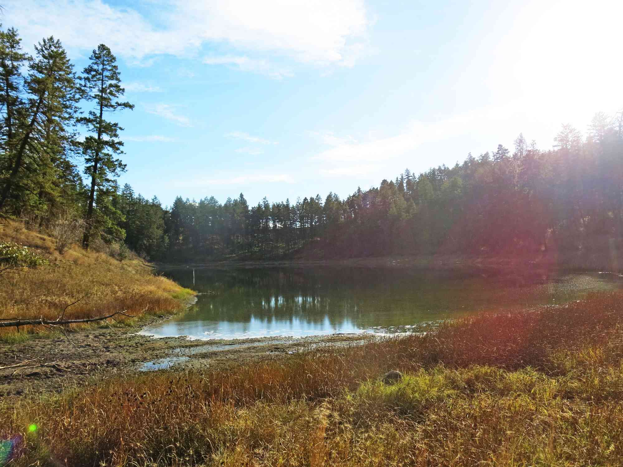
450-920 Knox Mountain Dr, Kelowna, BC V1Y 9X3One of Knox Mountain's lesser-known pathways, this trail leads you to the serene water basin that is Kathleen Lake.
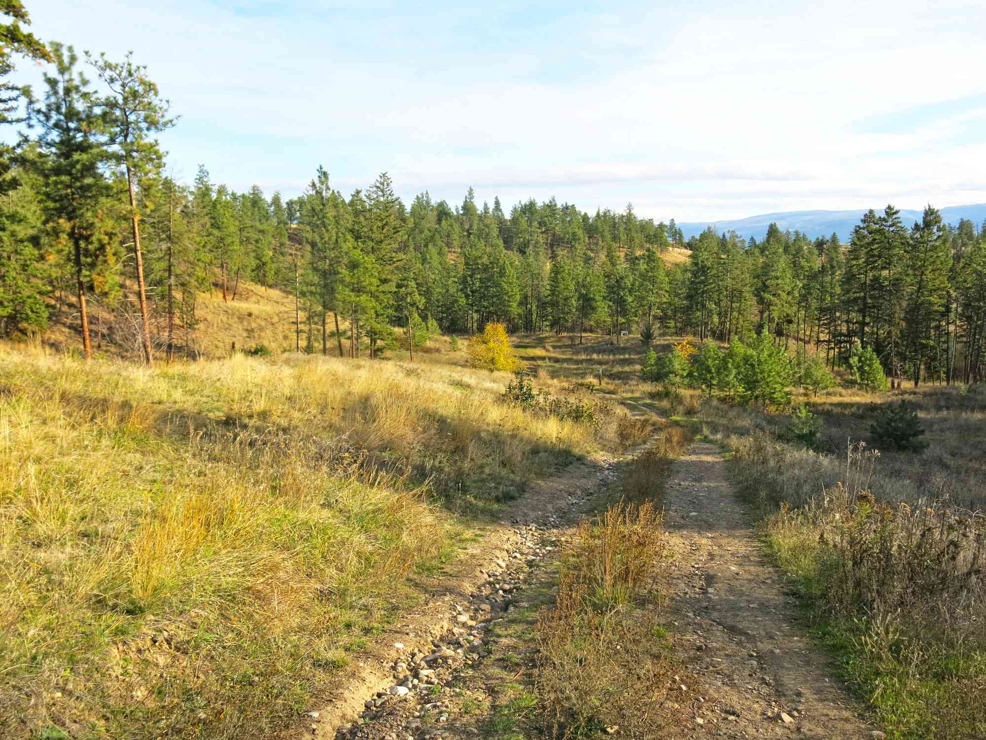
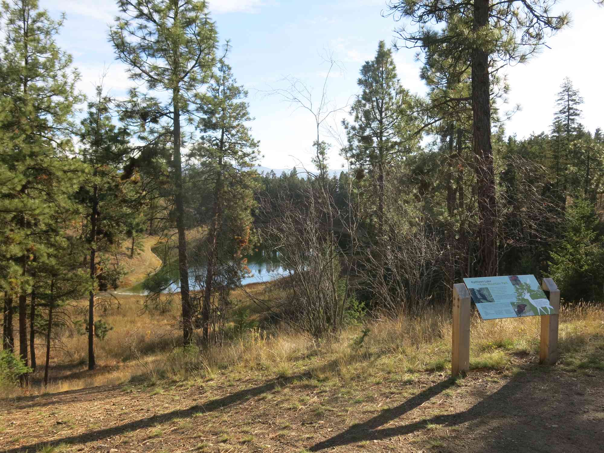
To reach the lake, follow the path behind the gate located between the first (Crown) and top (Apex) lookouts (about 1.12 km from Crown Lookout on the right). It takes you on a loop around the lake where several plants and animals such as deer, coyote, cougar and bear habituate.
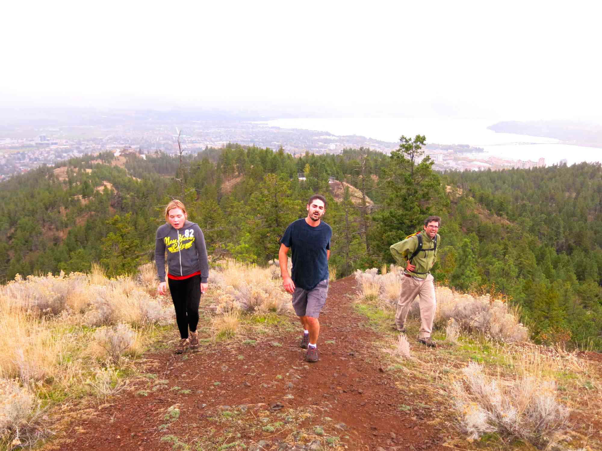
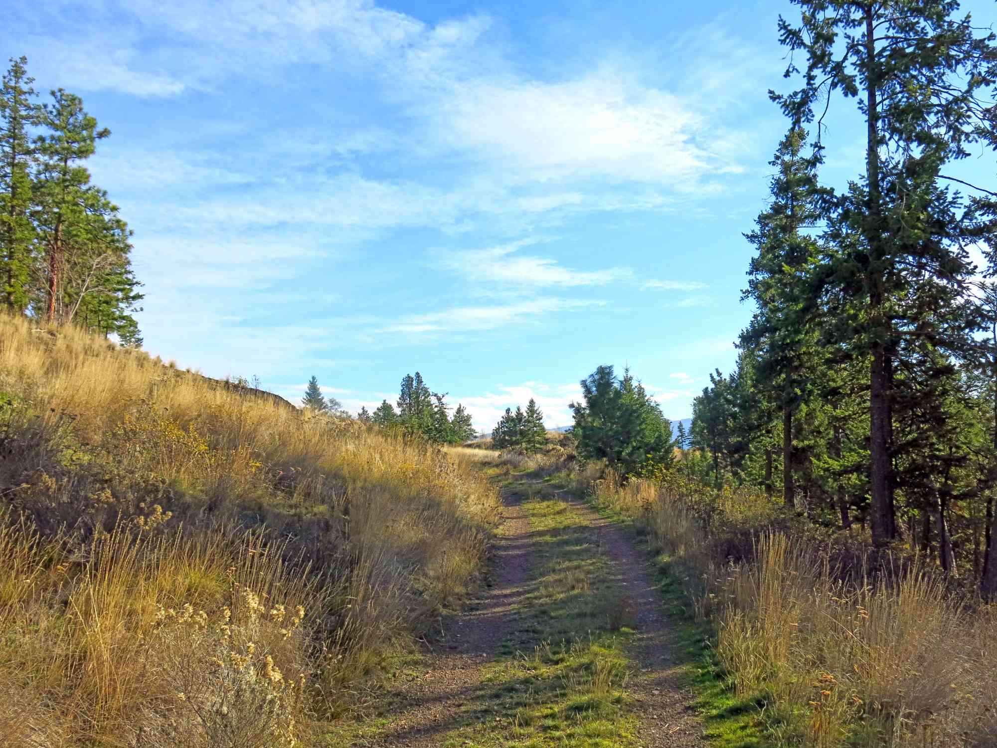
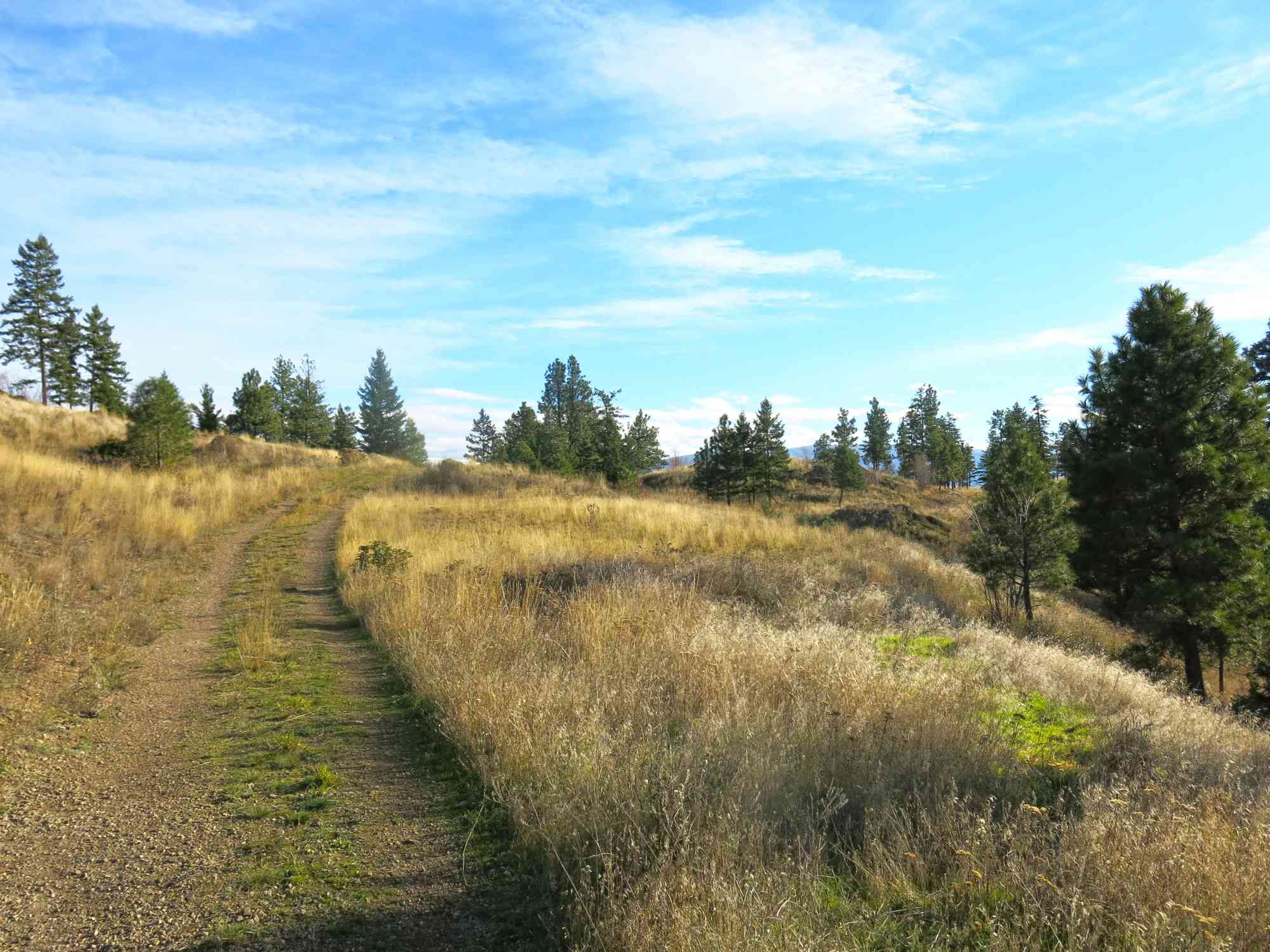
Hikers are advised to stick to the pathway as the area is recovering from heavy off-road use. This trail is often shared by cyclists.
To reach the lake, follow the path behind the gate located between the first (Crown) and top (Apex) lookouts (about 1.12 km from Crown Lookout on the right). It takes you on a loop around the lake where several plants and animals such as deer, coyote, cougar and bear habituate.
Hikers are advised to stick to the pathway as the area is recovering from heavy off-road use. This trail is often shared by cyclists.
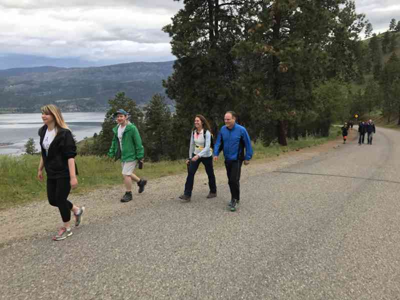
Route
Kids & Pets
Features
Address
Driving Time
From Downtown Kelowna, approximate travel time by car is 8 min.
Notable GPS Co-ordinates
Detailed Directions
2) Continue walking up Knox Mountain Road for another 1.12 km until you see a gate on your right with a Kathleen Lake sign.
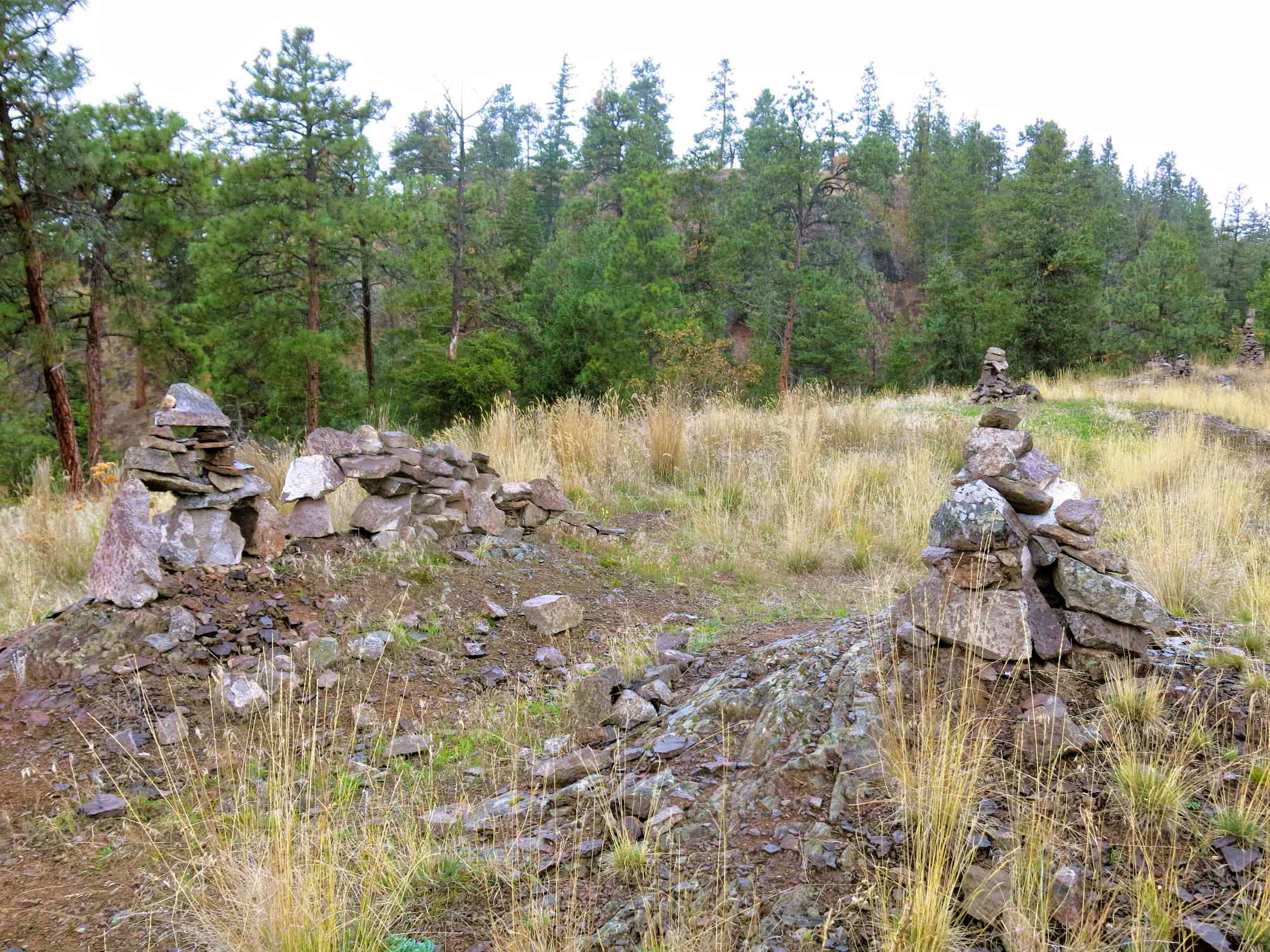
3) Walk a short distance down the trail until you see the lake. There is signage for the Kathleen Lake trail which completely encircles the lake, but there is also the Glenmore Ridge trail on the east side of the lake which leads to the true summit of Knox Mountain. The Glenmore Rigde trail has a couple dozen large and elaborate inukshuks on it.
Google Directions
Duration Calculator
The metrics for this trail have been converted to round-trip formation for distance and elevation gain/descent if necessary.
Estimated Time:
-- hours
We have a downloadable GPS map for this trail!
Last Updated on Sunday, January 26, 2025
Need help using it? See our FAQ.Map Waypoints
GPS Notes
Leave a comment
You must Login to post a comment!