
Jim Kelly Peak
Jim Kelly Peak
Coquihalla
2 hr 20 min from Kelowna, BC
Tulameen FSR, Coalmont, BC V0X 1G0Downloading the GPS log for the trail is HIGHLY recommended.
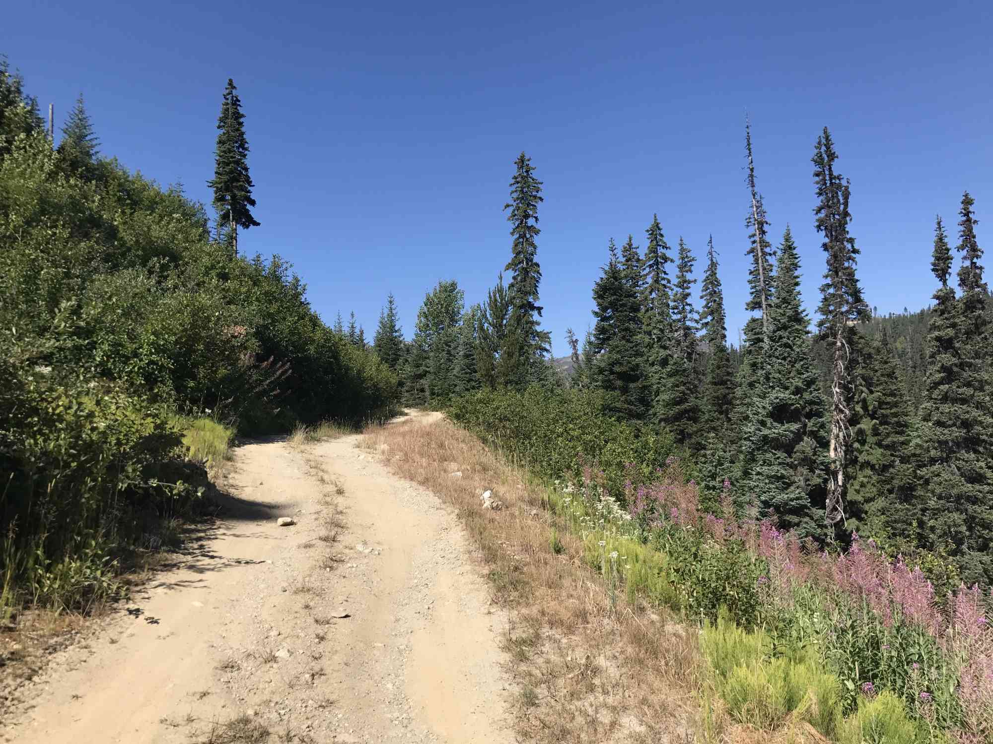
This easy-to-find trail nestled in the Coquihalla mountain range offers unparalleled vistas of the surrounding peaks, and views of countless ponds and lakes. Begin the trail on Tulameen FSR and park at the fork to the right just after the 19 km FSR road marker. This will mean an extra 3.5 km of hiking each way, but will save a vehicle from some pretty serious paint job damage as the road has become very overgrown. However, the route in up to this point is essentially a dirt-road super-highway.
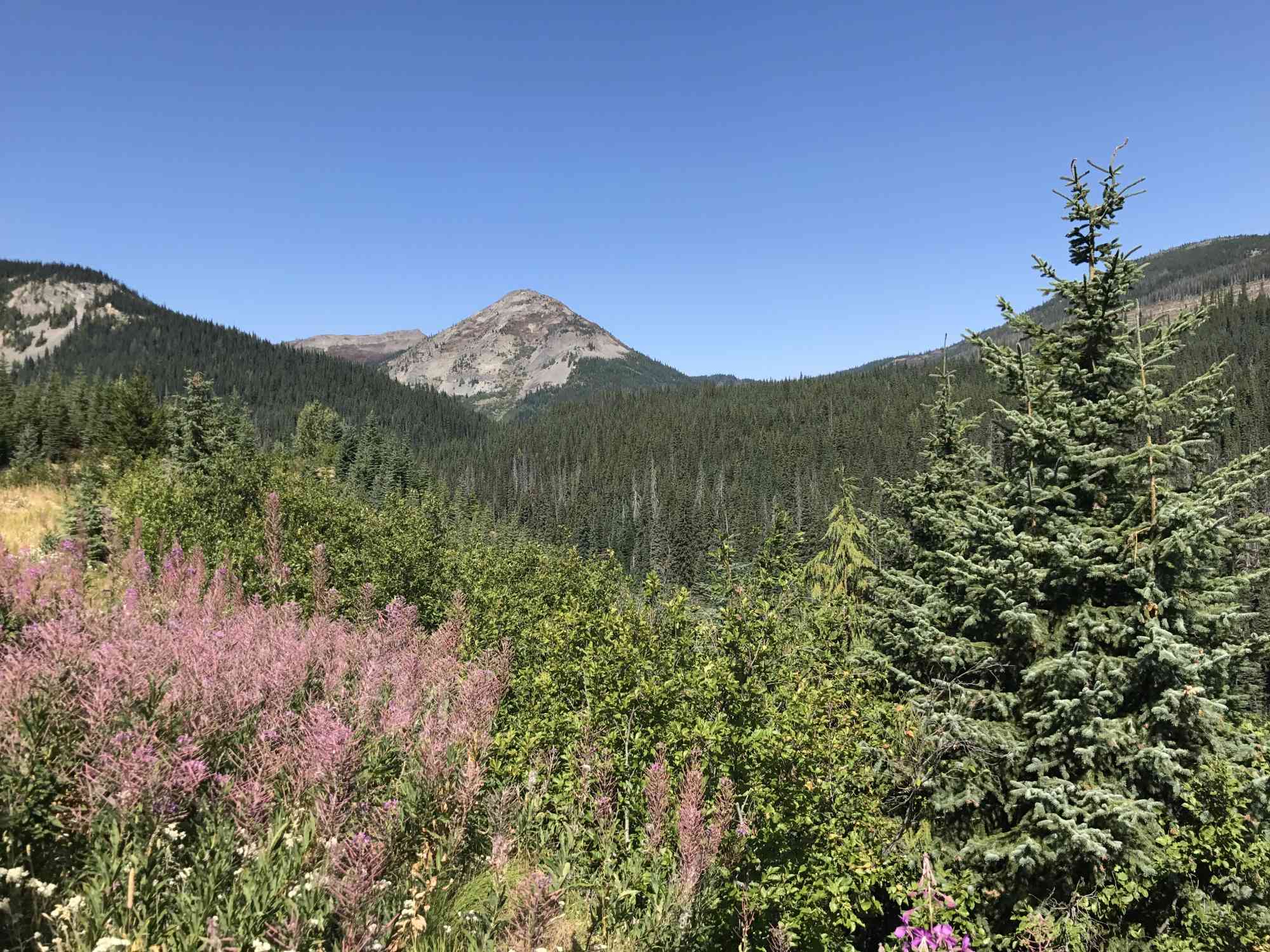
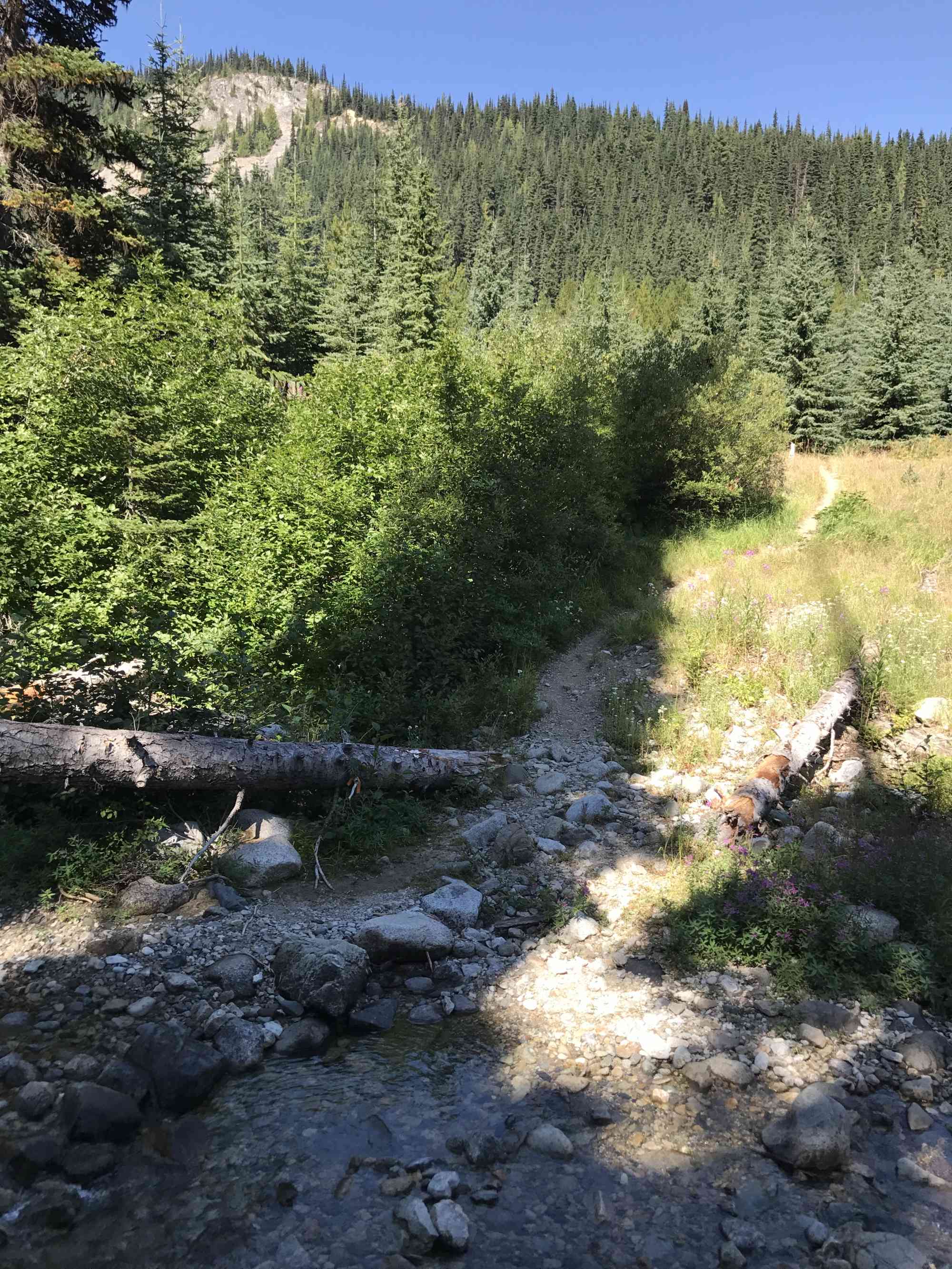
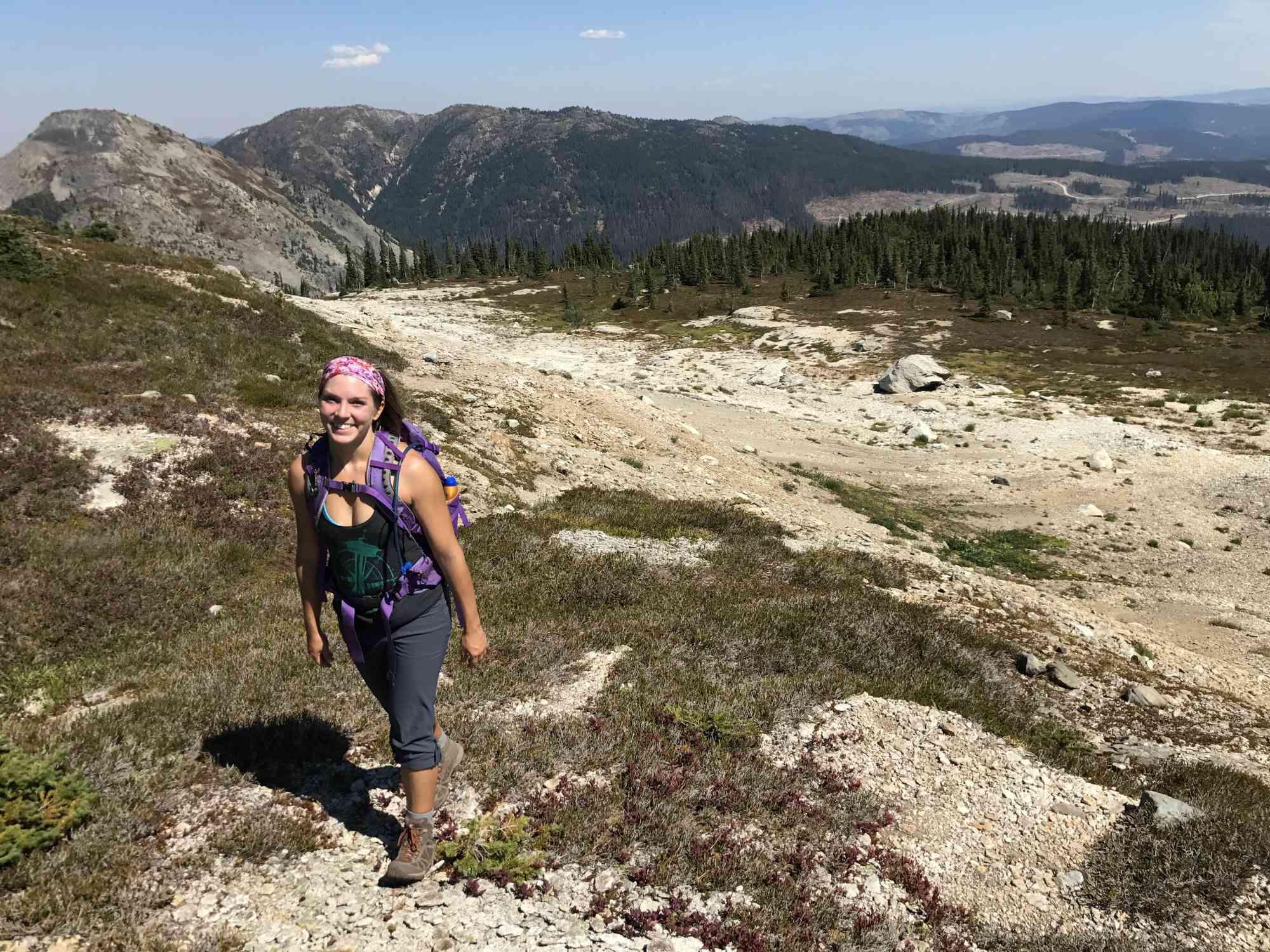
Once reaching the clearing on the trail, notice some old worn-out signs and head to the right down the trail beyond the large log sawn in half. The trail is slightly overgrown for roughly half a kilometre, until reaching a small creek. The trail widens and follows beneath much taller pine trees as the slope begins to dramatically increase. Prepare for a good cardio workout for the next 3 km until reaching the alpine meadows.
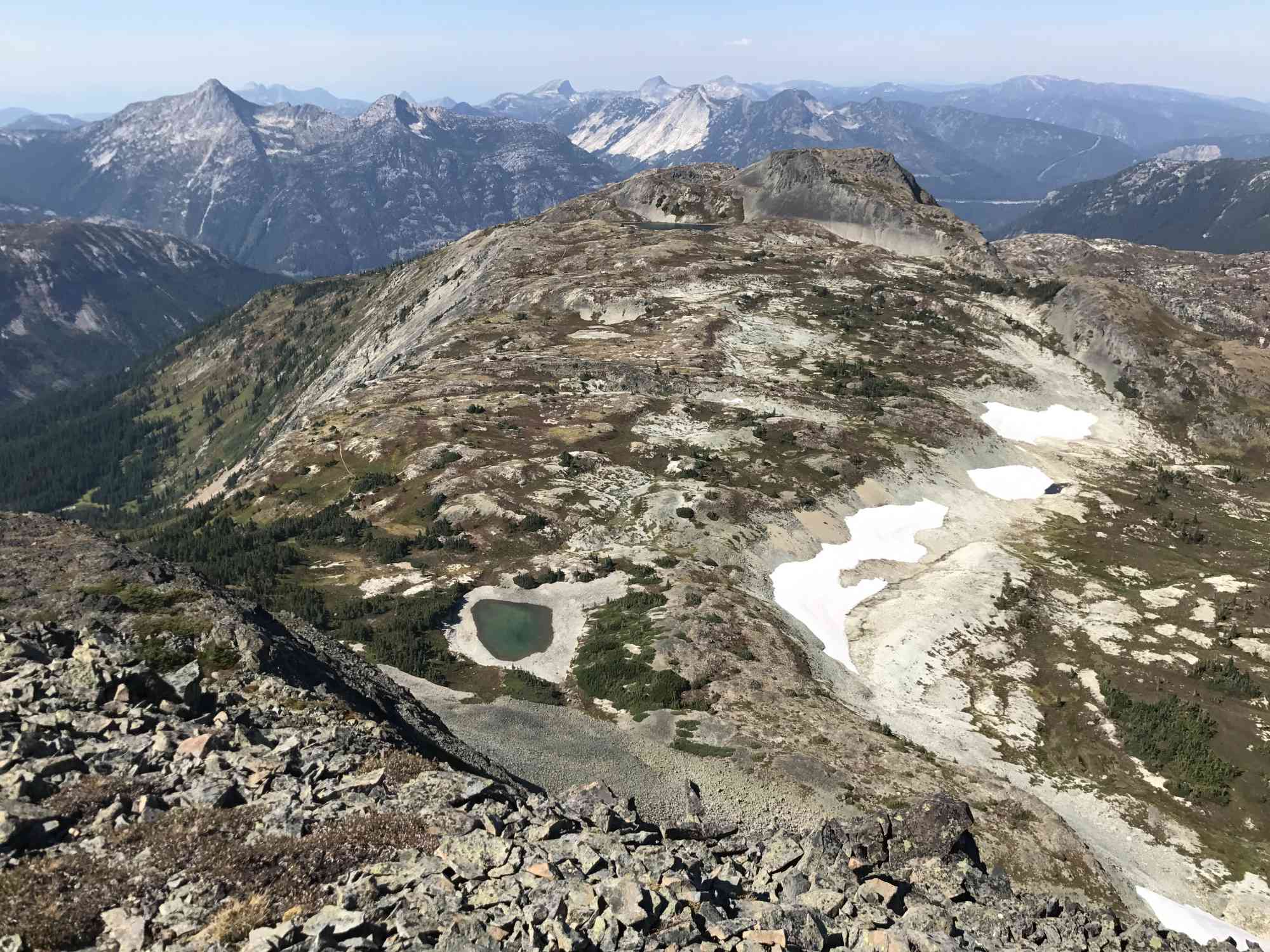
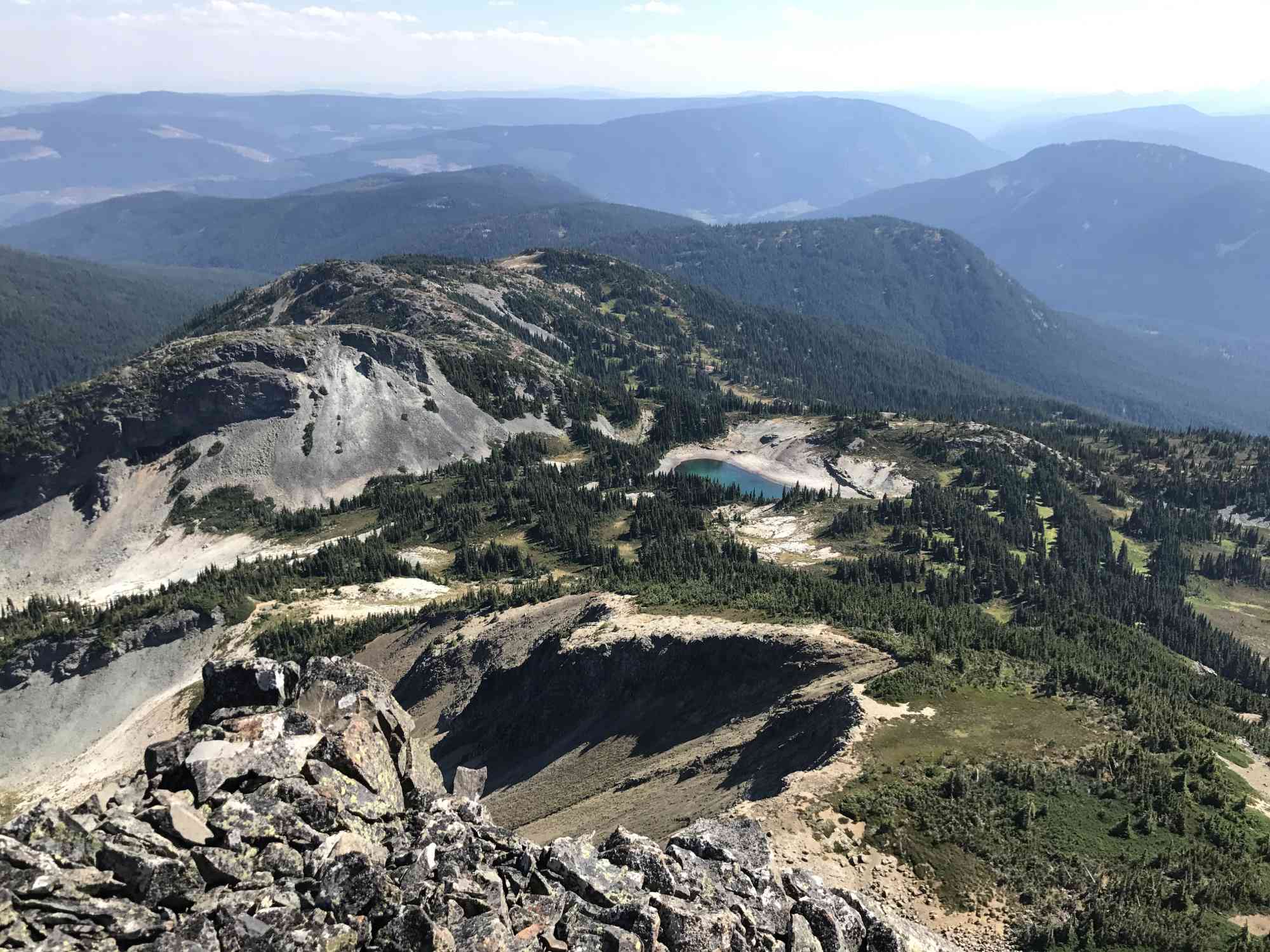
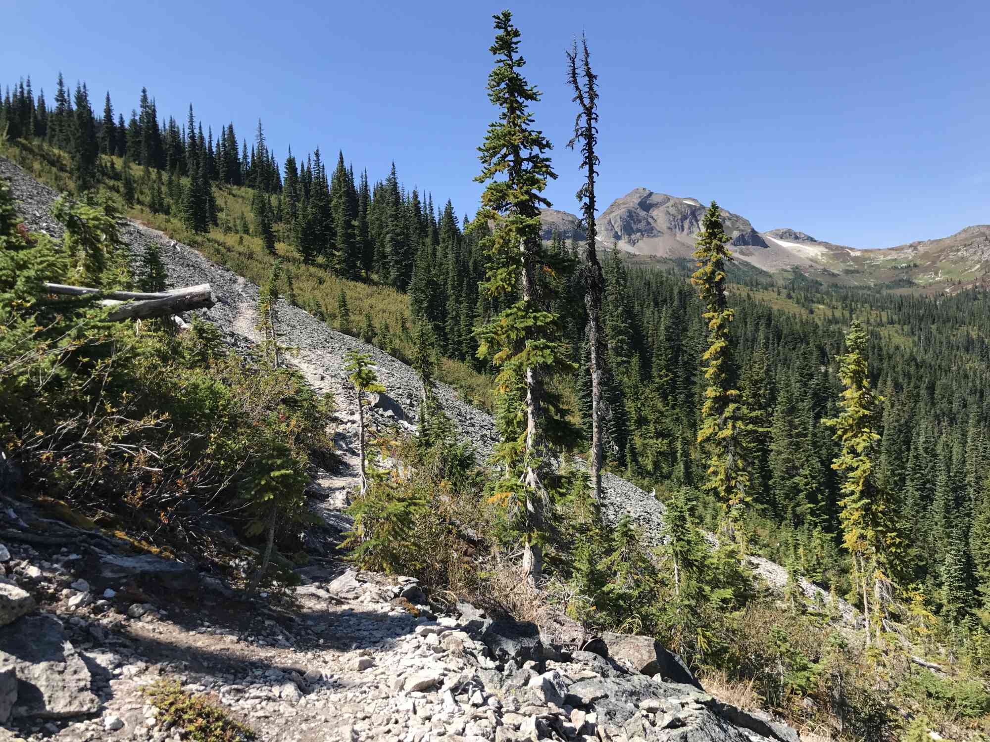
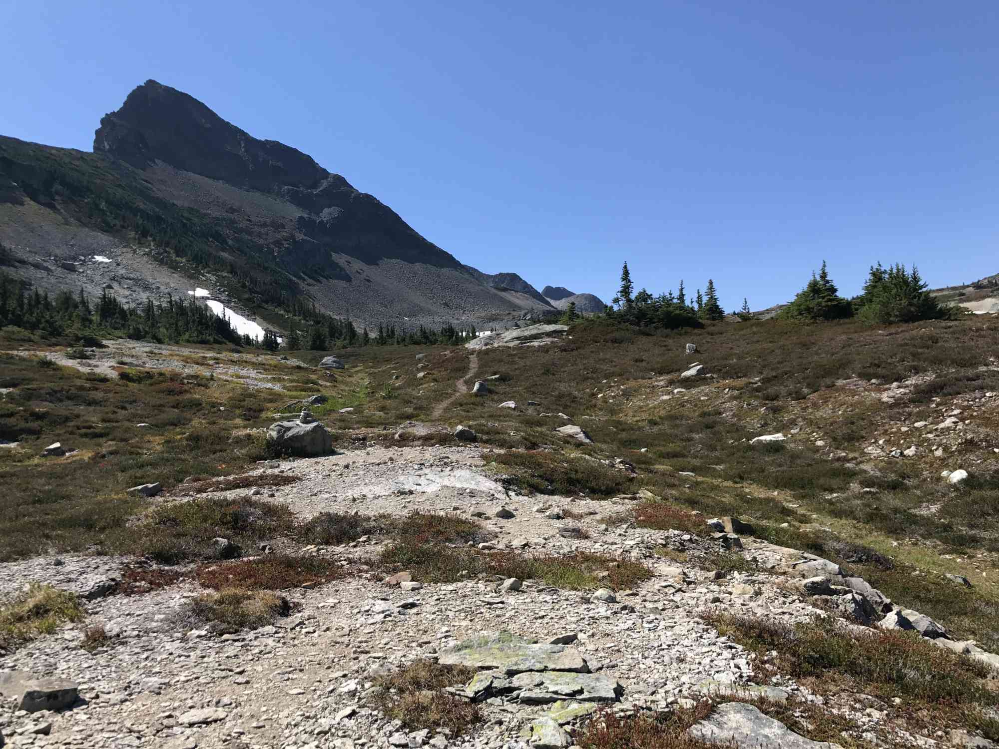
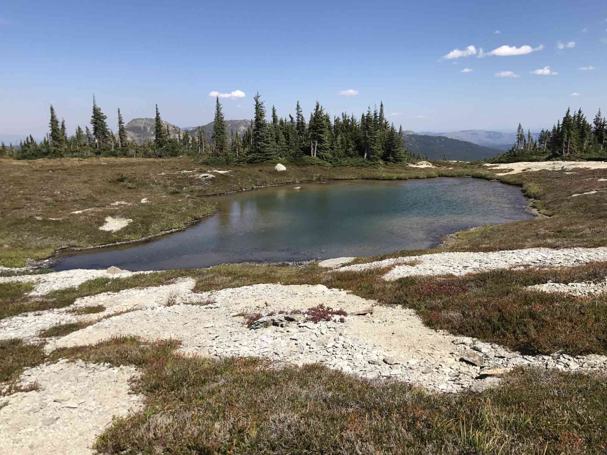
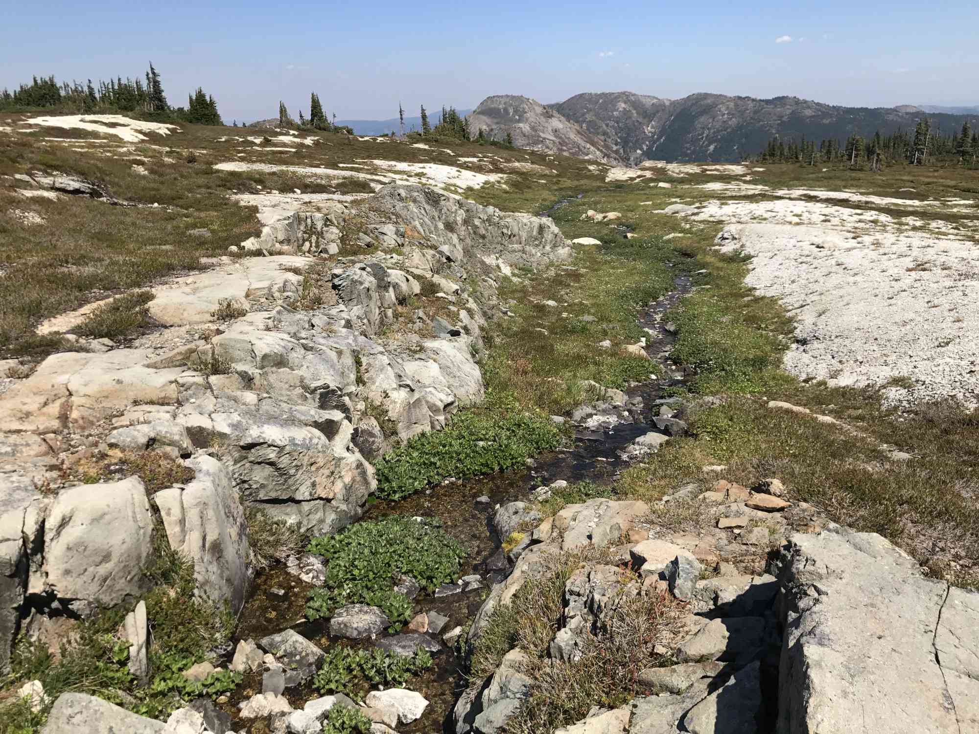
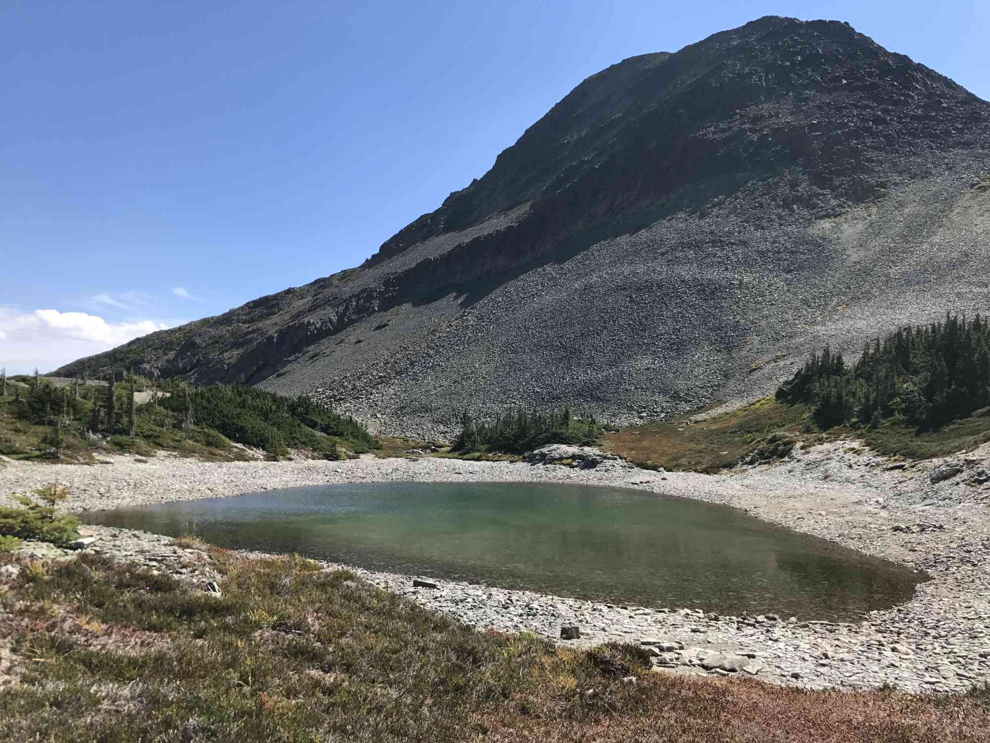
At these meadows, the trail becomes difficult to follow. This is where way finding begins. Notice two larger ponds to the right, and continue walking straight through the meadow over the crest of the hill ahead (and often a small snow drift right up until mid-summer). After 2.5 km since hitting the meadows, hikers reach a larger crystal clear pond with shale bottom on the left. A great 6-foot deep dip before the final scramble. This is an excellent place to end the hike with children.
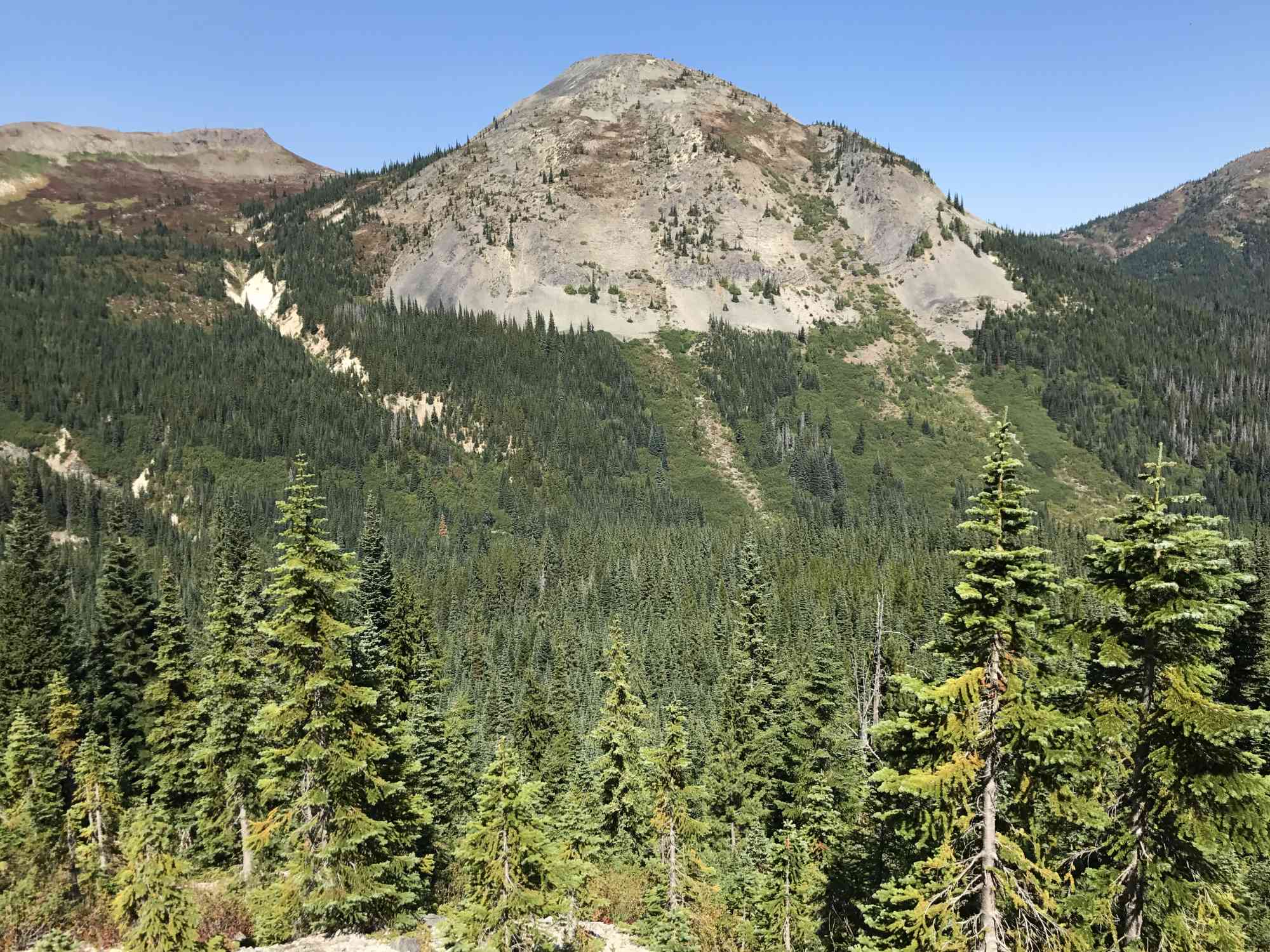
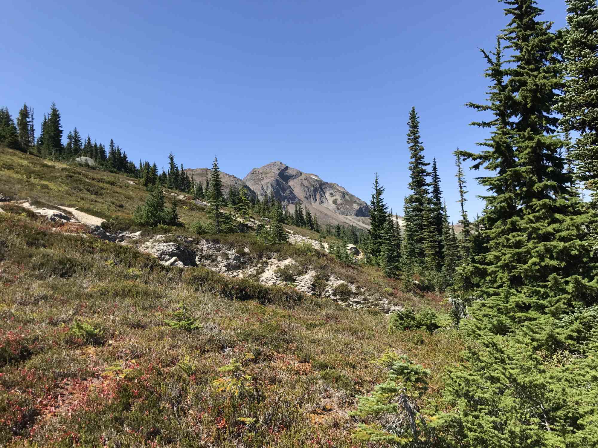
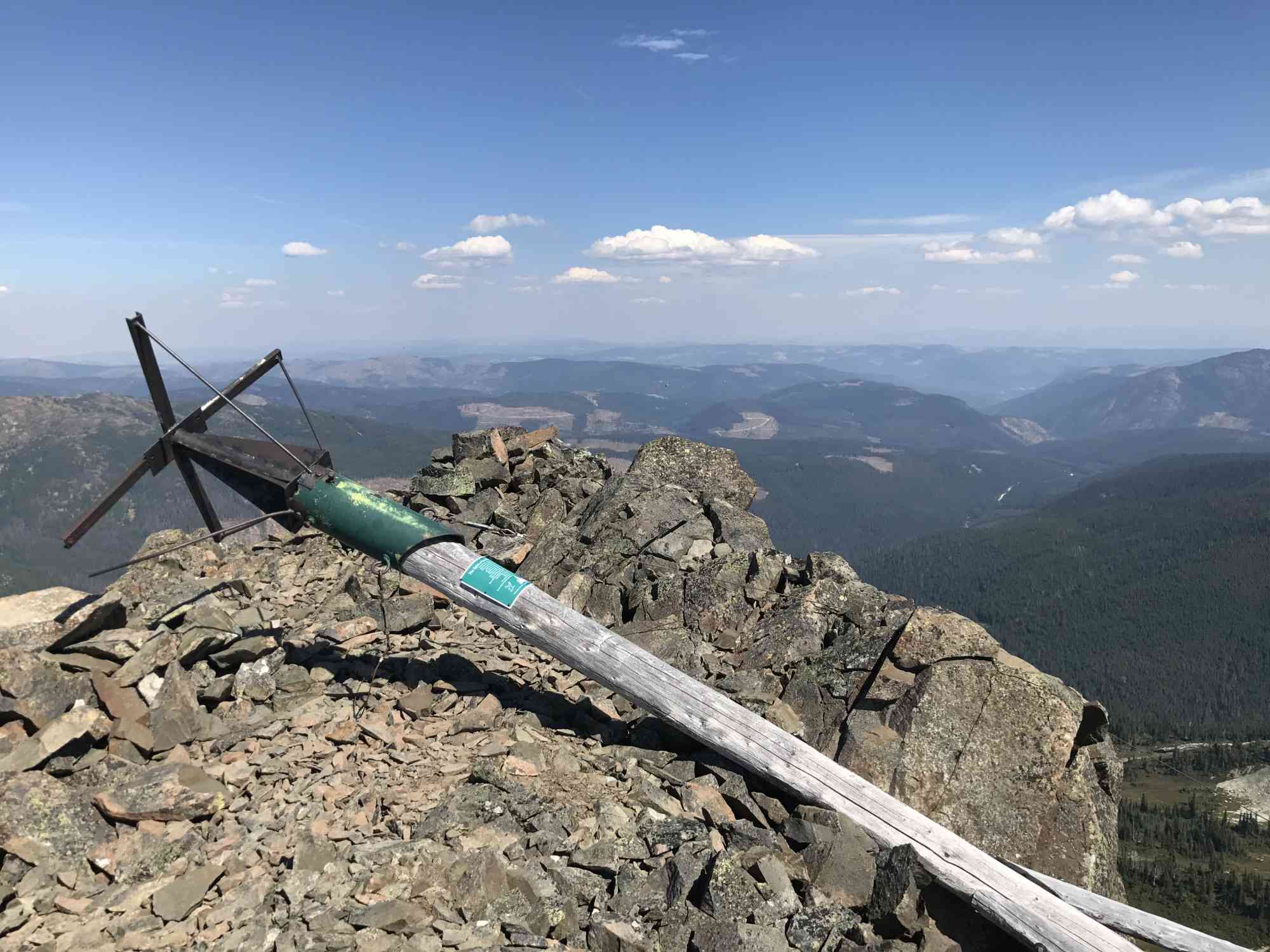
From here, head up the very loose pancake-like shale directly behind the pond and notice the large Jim Kelly Peak right in front of you. There is no trail, and hikers must way-find their route to the summit. There are a number of crests which appear as false-summits while climbing. From the pond at the bottom of the hill to the summit is a mere 1.7 km each way, but it can easily take 45 minutes.
This easy-to-find trail nestled in the Coquihalla mountain range offers unparalleled vistas of the surrounding peaks, and views of countless ponds and lakes. Begin the trail on Tulameen FSR and park at the fork to the right just after the 19 km FSR road marker. This will mean an extra 3.5 km of hiking each way, but will save a vehicle from some pretty serious paint job damage as the road has become very overgrown. However, the route in up to this point is essentially a dirt-road super-highway.
Once reaching the clearing on the trail, notice some old worn-out signs and head to the right down the trail beyond the large log sawn in half. The trail is slightly overgrown for roughly half a kilometre, until reaching a small creek. The trail widens and follows beneath much taller pine trees as the slope begins to dramatically increase. Prepare for a good cardio workout for the next 3 km until reaching the alpine meadows.
At these meadows, the trail becomes difficult to follow. This is where way finding begins. Notice two larger ponds to the right, and continue walking straight through the meadow over the crest of the hill ahead (and often a small snow drift right up until mid-summer). After 2.5 km since hitting the meadows, hikers reach a larger crystal clear pond with shale bottom on the left. A great 6-foot deep dip before the final scramble. This is an excellent place to end the hike with children.
From here, head up the very loose pancake-like shale directly behind the pond and notice the large Jim Kelly Peak right in front of you. There is no trail, and hikers must way-find their route to the summit. There are a number of crests which appear as false-summits while climbing. From the pond at the bottom of the hill to the summit is a mere 1.7 km each way, but it can easily take 45 minutes.
Route
Kids & Pets
Features
Address
Driving Time
From Kelowna, BC, approximate travel time by car is 2 hr 20 min.
Notable GPS Co-ordinates
Detailed Directions
2. Heading south on Highway 5/Coquihalla from Merritt to Vancouver, take the Britton Cr exit (exit 228), take the overpass and follow it rightwards passing by Britton Creek Rest Area.
3. Roughly after 1 km, keep LEFT onto Tulameen FSR, crossing the cattle guard. Reset odometer.
4. At 8 km, keep right at Old Man Mining/Britton Creek Road.
5. At 15.2 km keep left at fork at Cranberry Cr Rd.
6. At 18.2 km (at the bridge and FSR sign for 19 km) turn right up 4x4ing track. Park here if in a car, as the remainder of the trek to the trailhead is incredibly overgrown.
Google Directions
Linear Trail
Duration Calculator
The metrics for this trail have been converted to round-trip formation for distance and elevation gain/descent if necessary.
Estimated Time:
-- hours
We have a downloadable GPS map for this trail!
Last Updated on Sunday, January 26, 2025
Need help using it? See our FAQ.Map Waypoints
GPS Notes
Leave a comment
You must Login to post a comment!