
Hydraulic Creek Waterfall Trail
Hydraulic Creek Waterfall Trail
East Kelowna
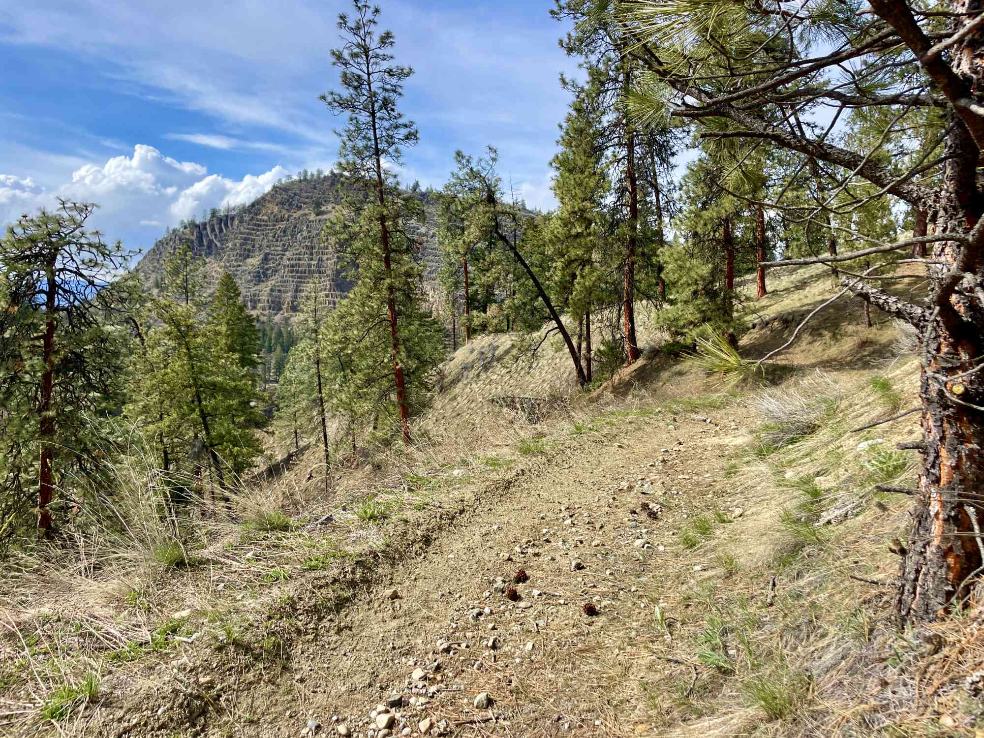
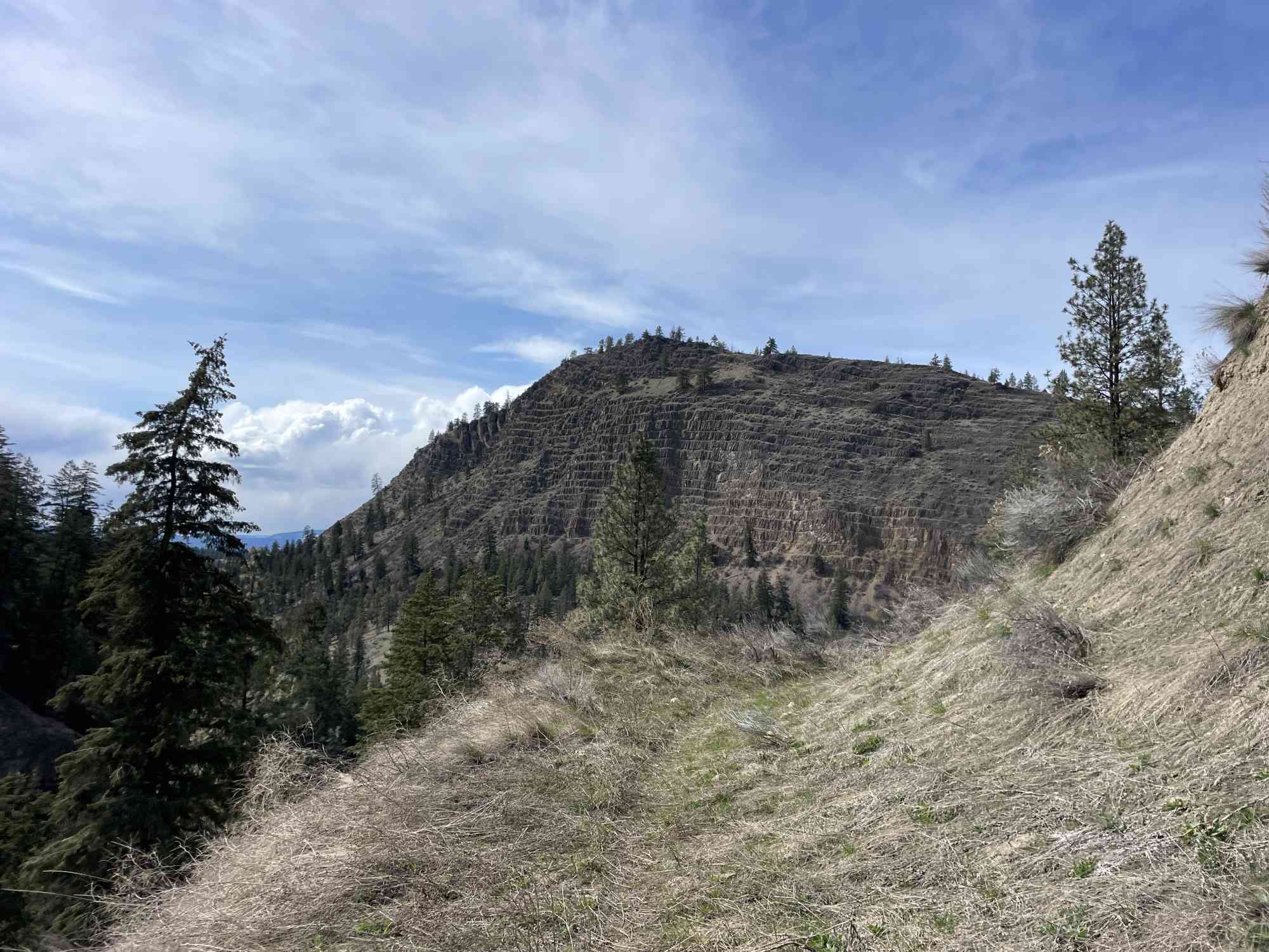
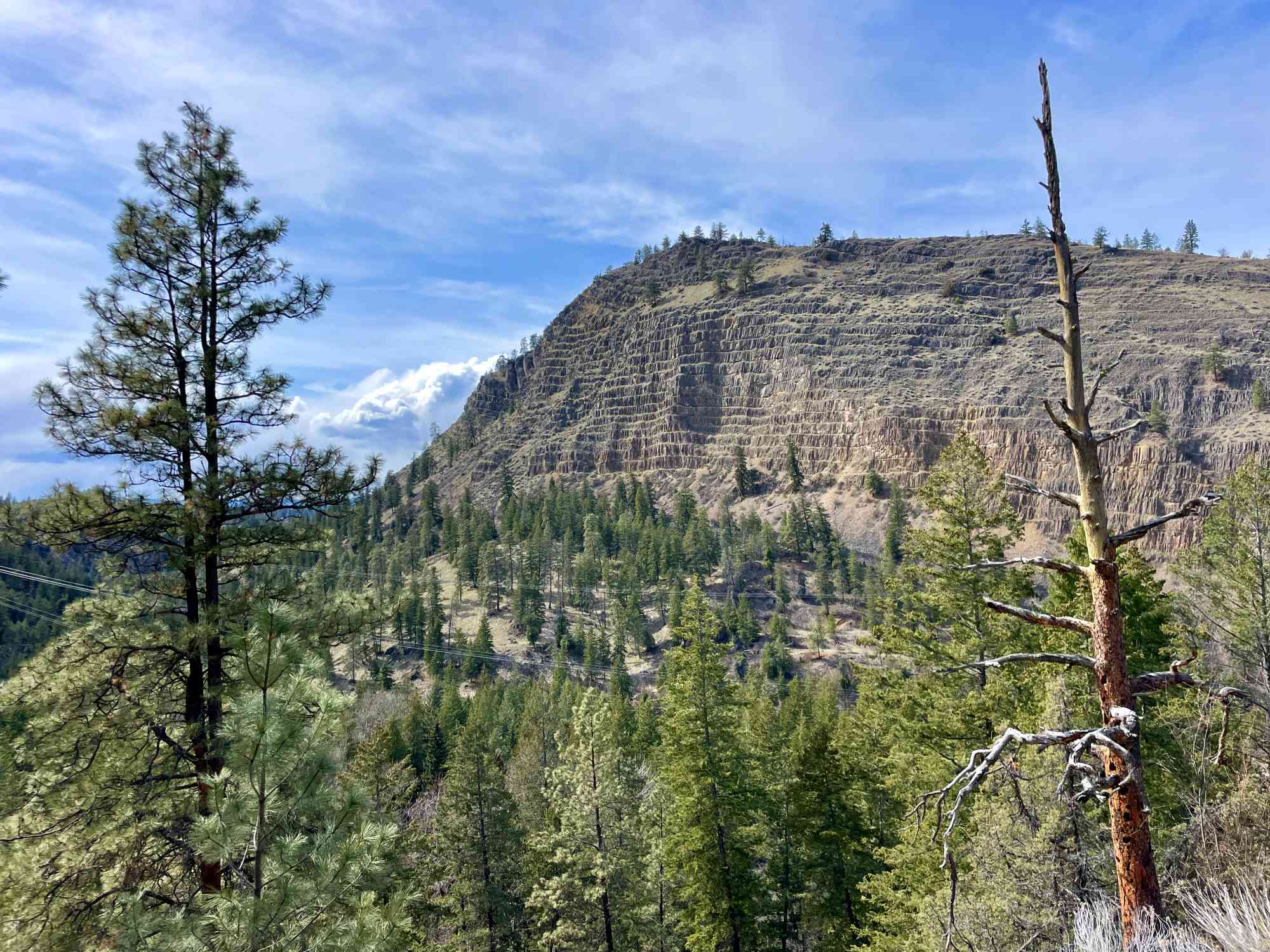
A meandering downhill descent from Hydraulic Creek to Mission Creek with spectacular views of Layer Cake Mountain and finishing with a steep trail down to a waterfall.
The this trail is a beautiful and moderately challenging 3.9-kilometer one-way hike. This unique trail features a mix of terrain, a moderate descent, and a spectacular waterfall as the destination point.
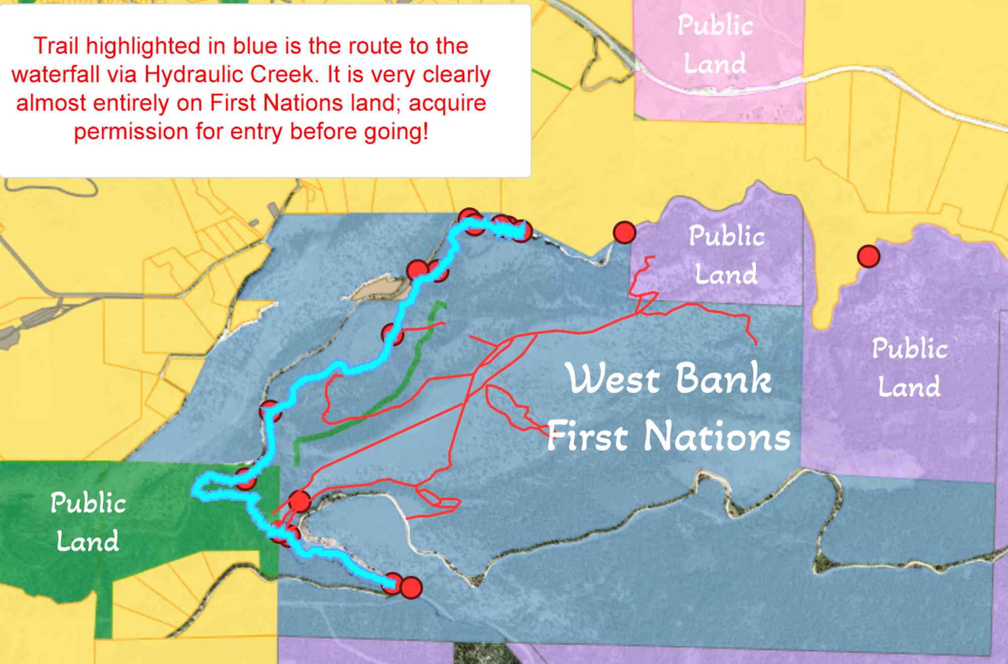
Please note that hikers are required to obtain permission from the West Bank First Nations community prior to accessing the trail. This respect for the land and its stewards helps maintain the trail's pristine condition and ensures a safe and enjoyable experience for all.
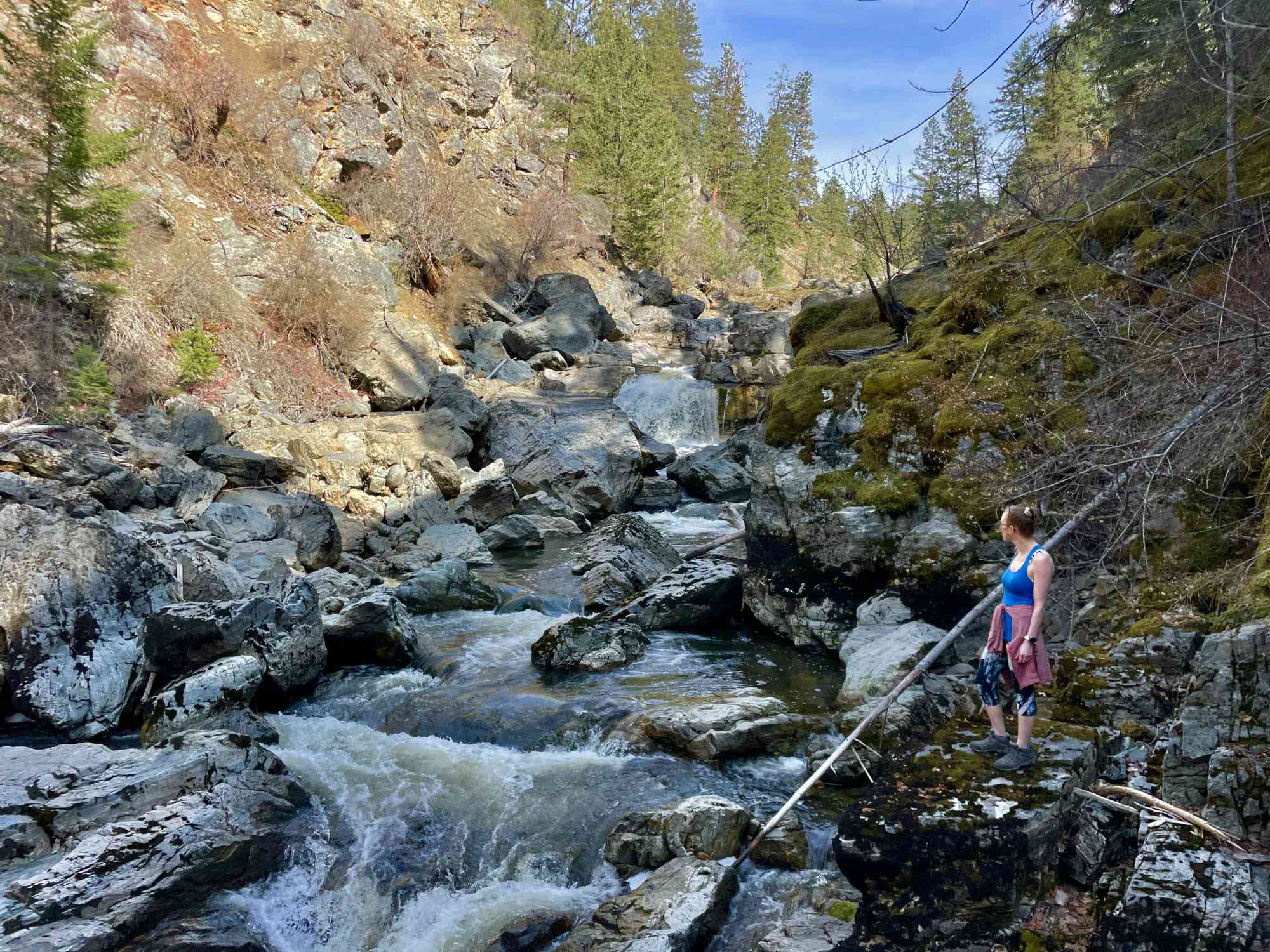
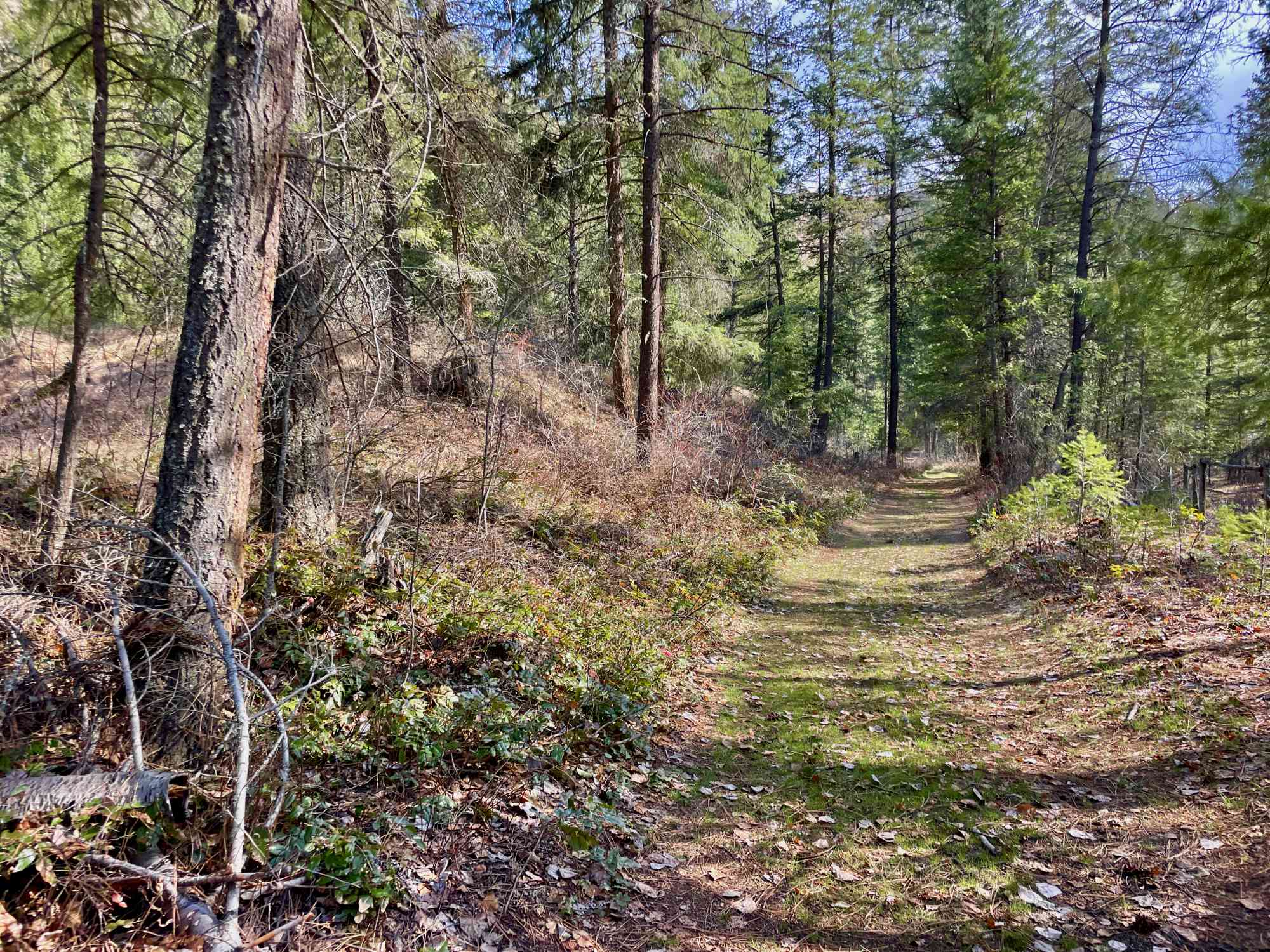
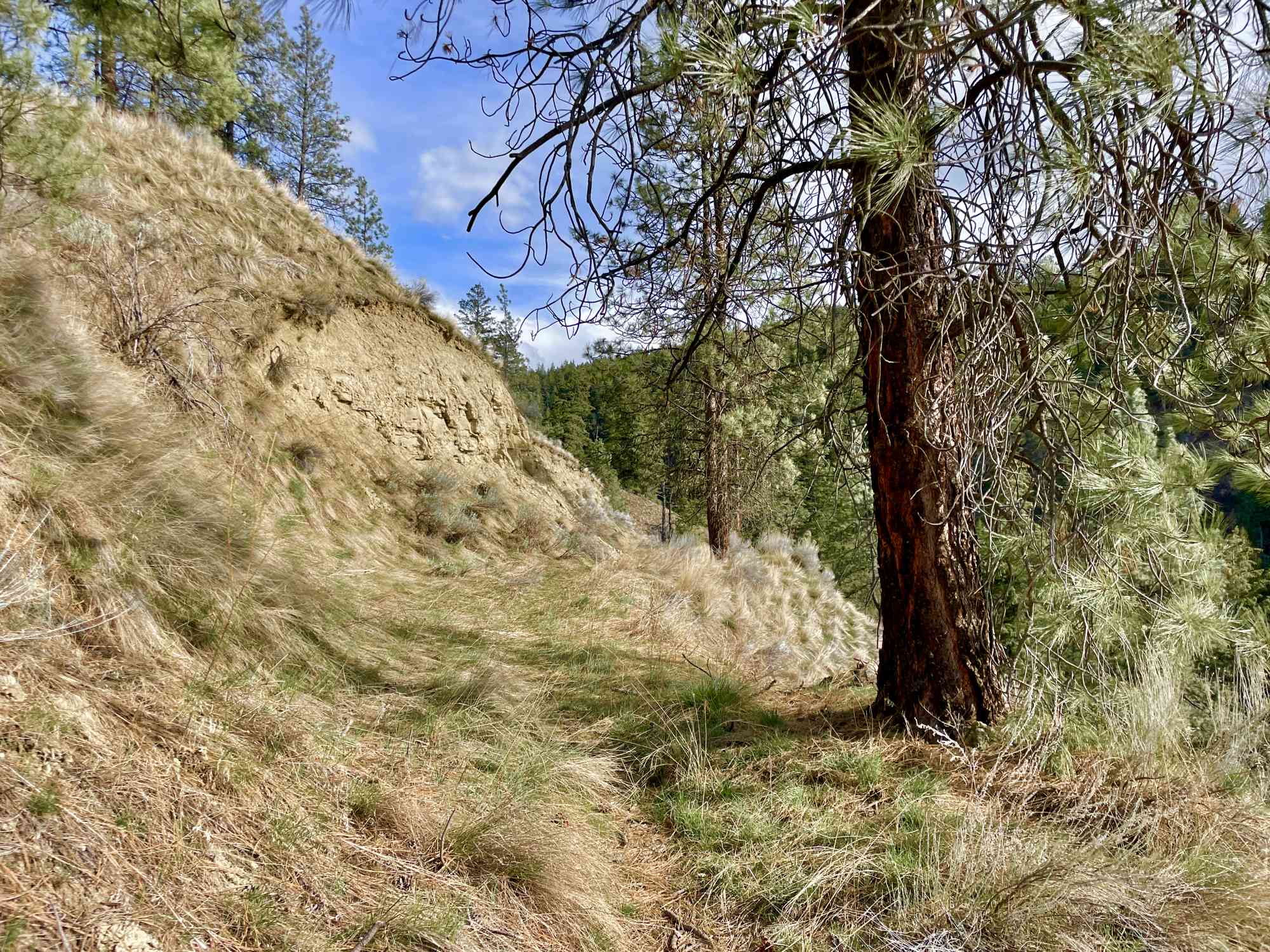
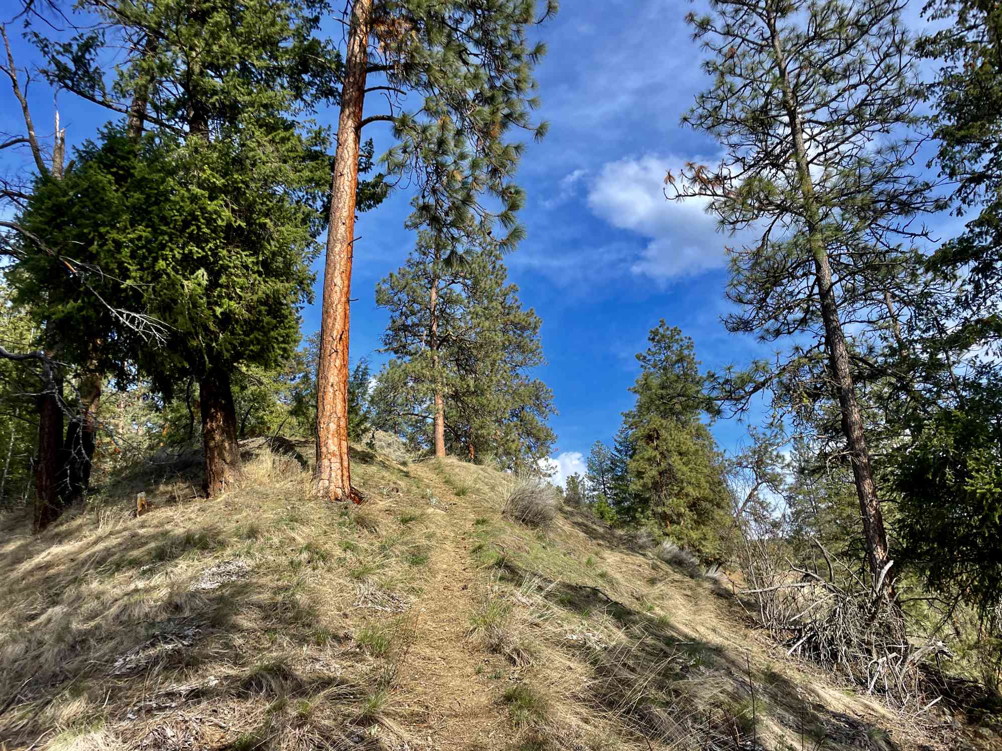
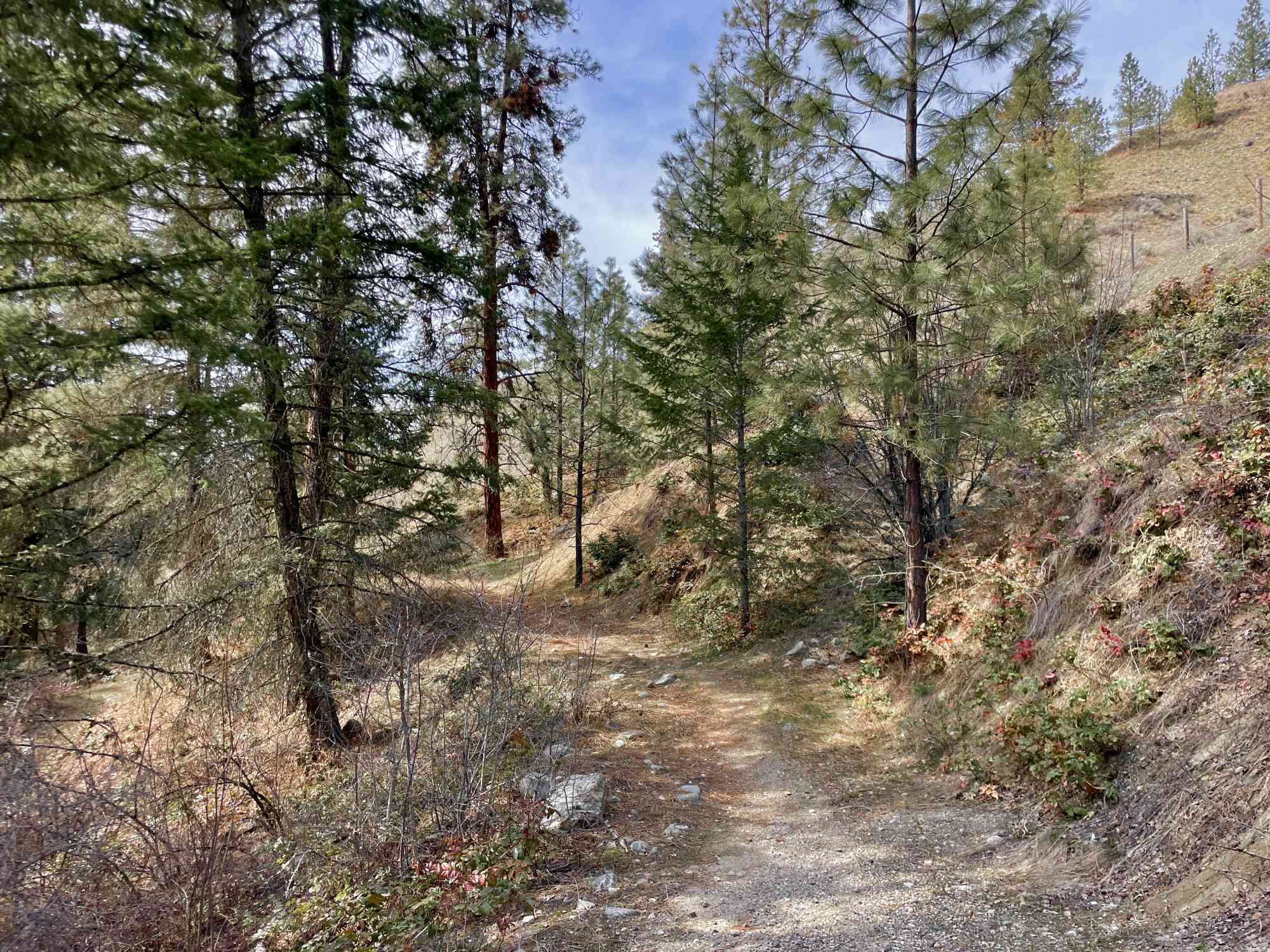
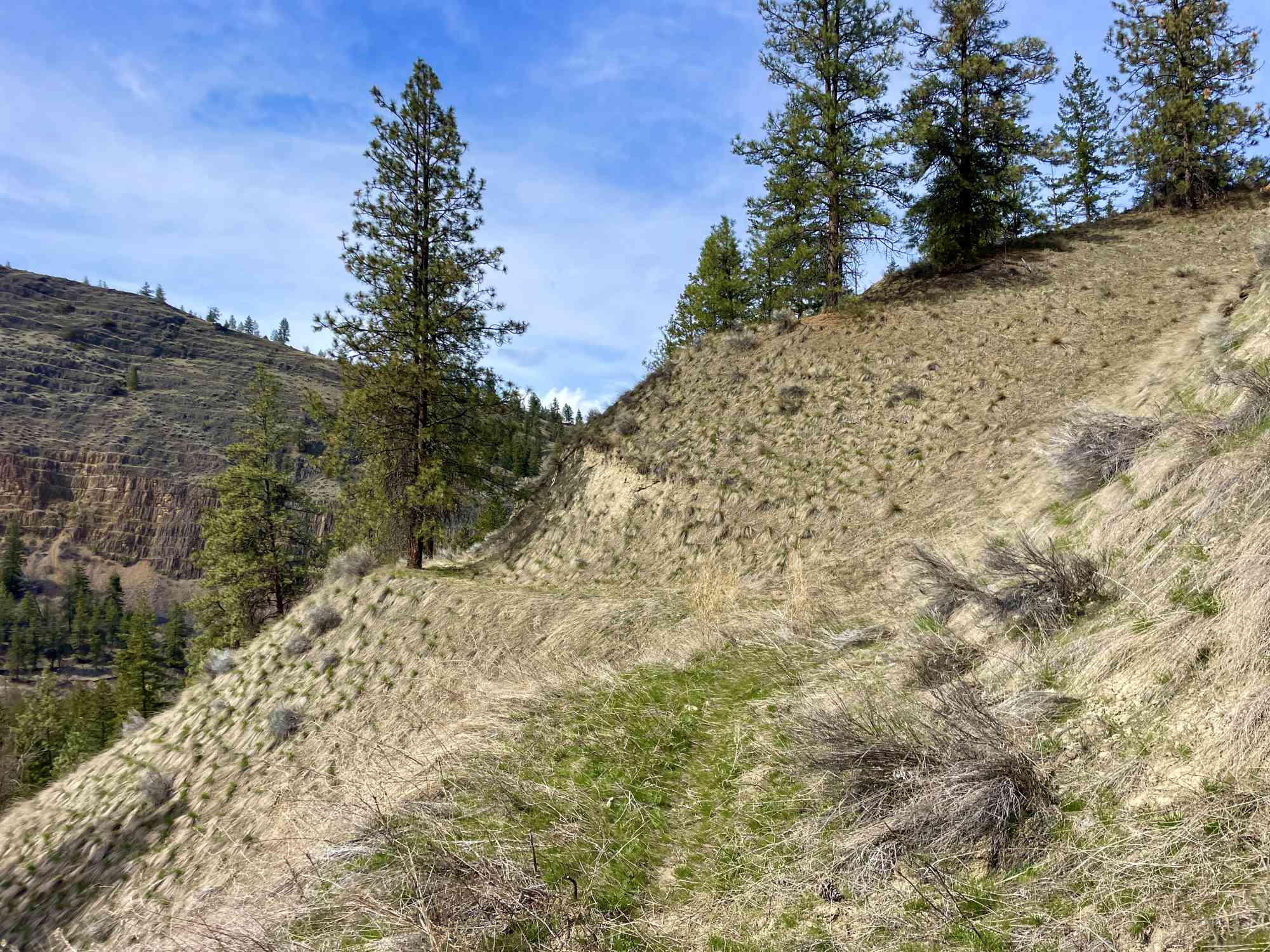
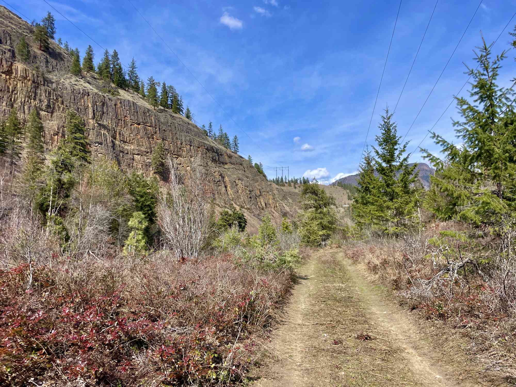
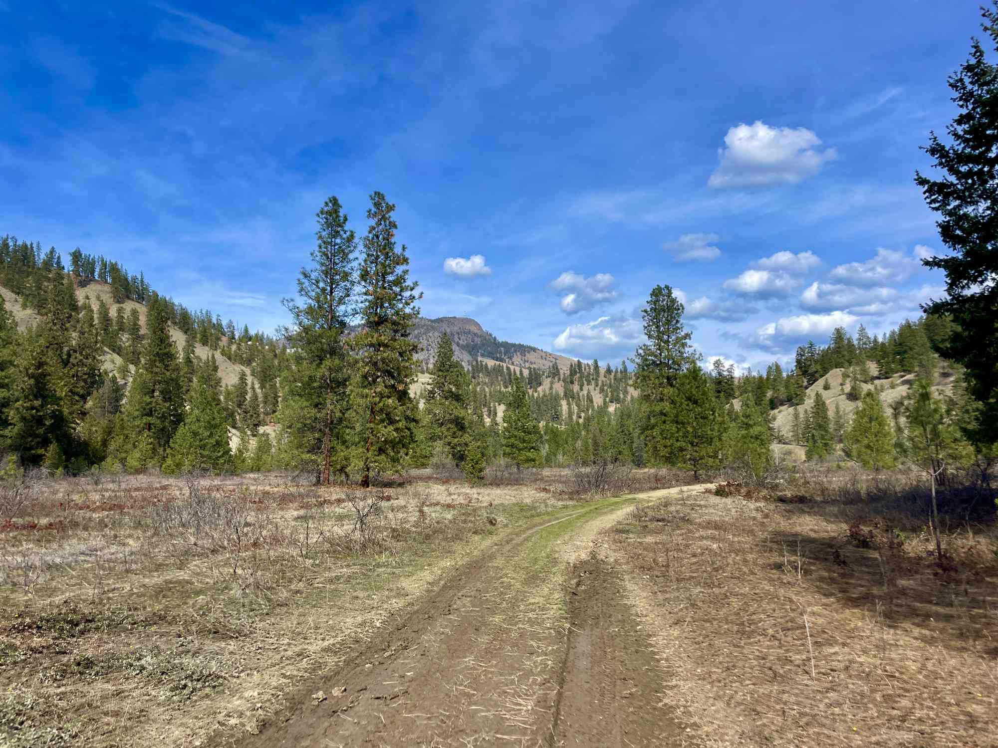
The trail begins with a moderate descent down to Mission Creek along Hydraulic Creek. This section offers stunning views of Layer Cake Mountain, the surrounding forest and the soothing sound of flowing water. While it begins relatively flat, there is a somewhat hidden fork with a steep descent hikers must locate. After reaching Mission Creek, the trail transitions to a mostly flat walk through a picturesque landscape, allowing hikers to take in the natural beauty of the area.
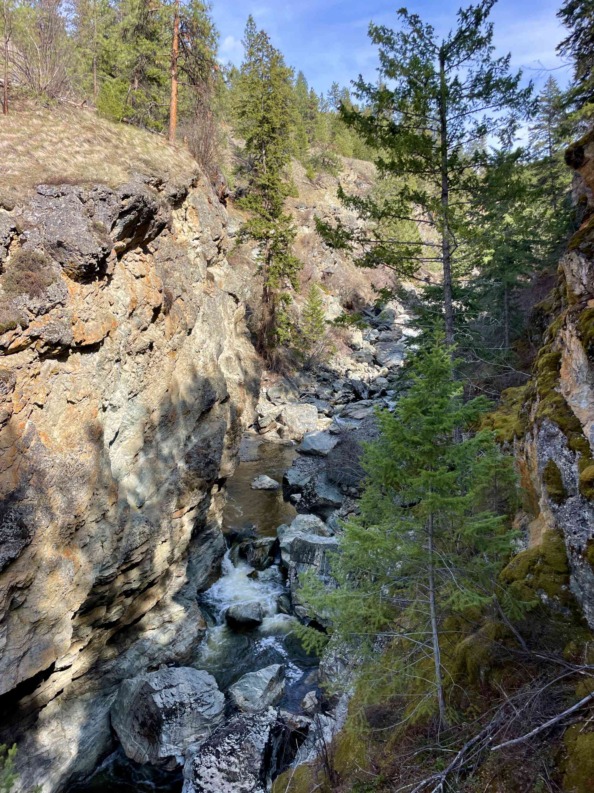
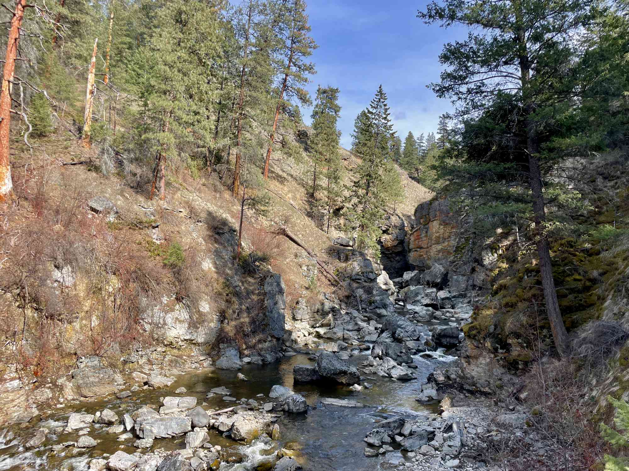
As you approach the final 500 meters of the trail, prepare for a gentle ascent up a small hill followed by a sharp drop on a precarious deer trail. This section can be challenging, so exercise caution and ensure you have proper footwear. It is highly recommended that hikers carry a GPS log, as the end of the trail is not clearly marked and is rife with dangerous hazards. Go only at your own risk.
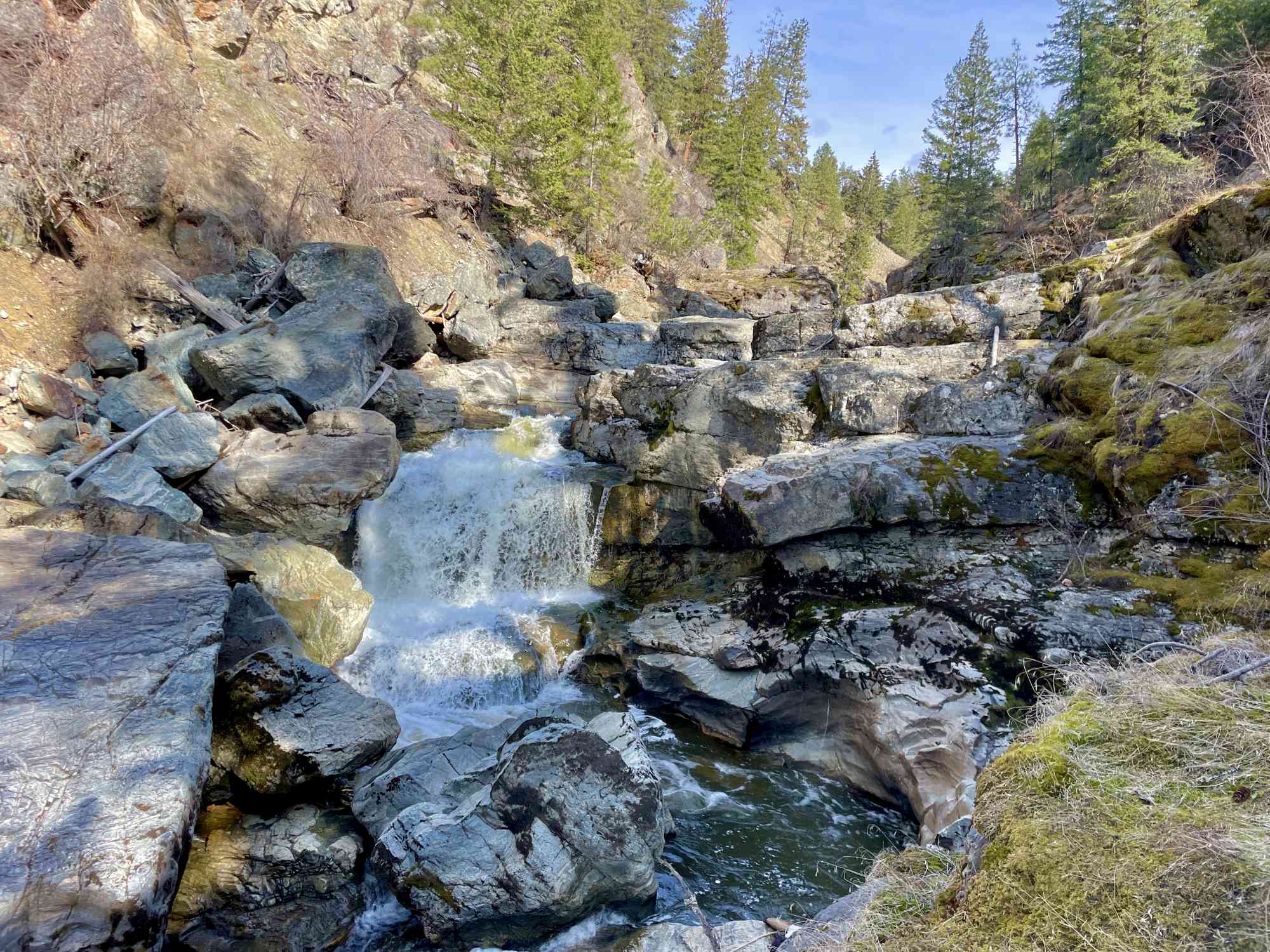
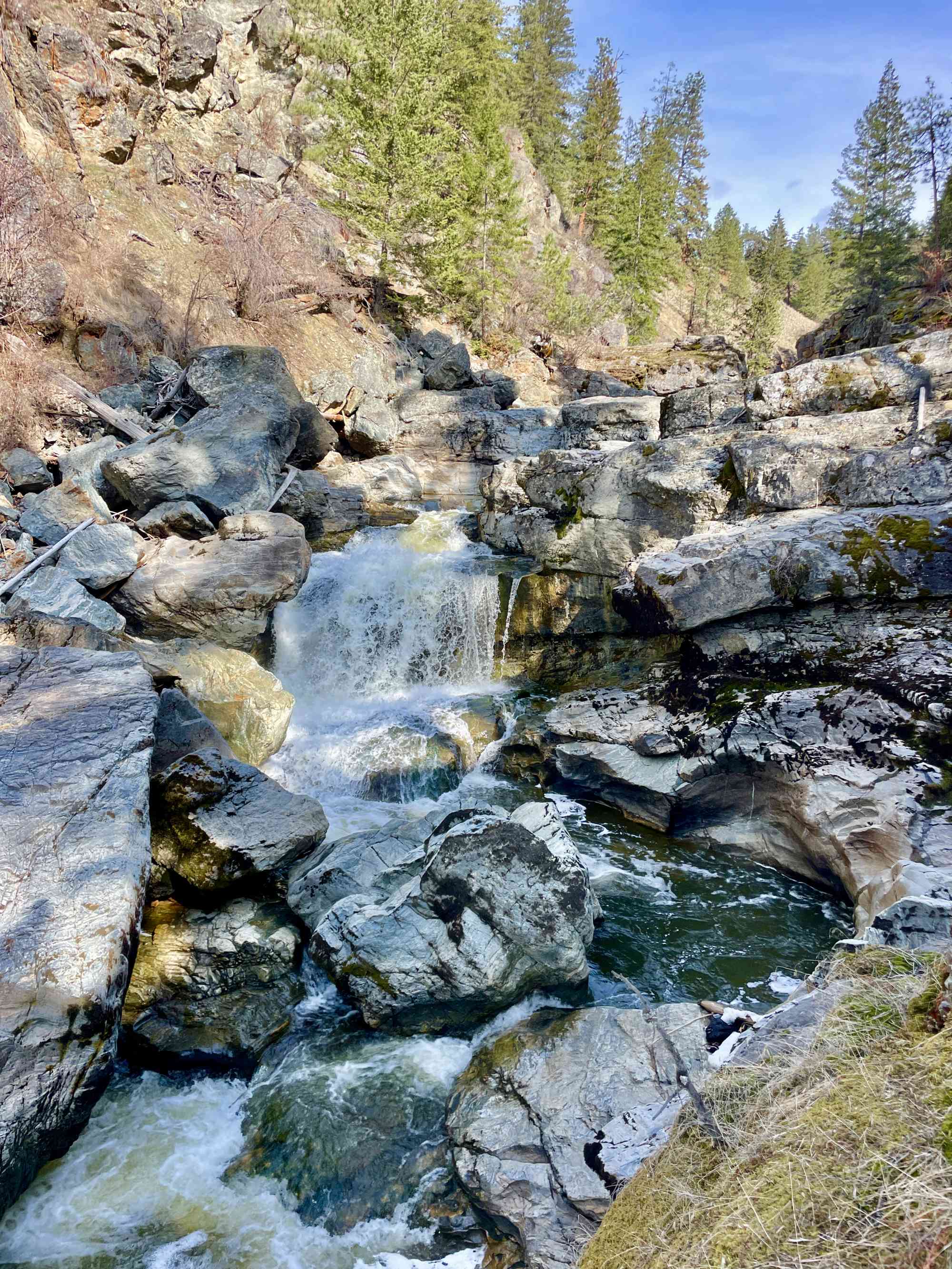
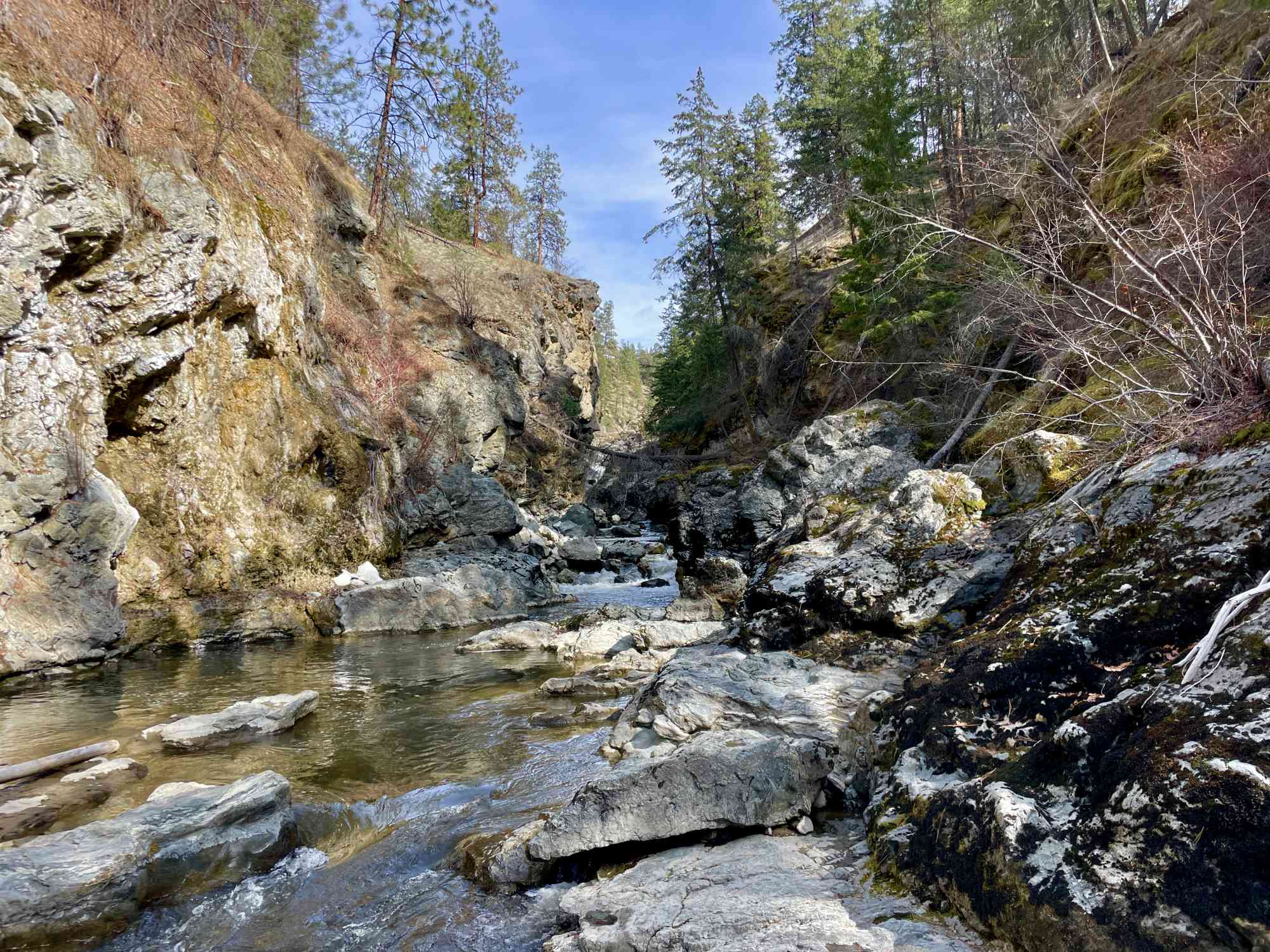
Your efforts will be rewarded with a breathtaking view of a majestic waterfall, the perfect spot to rest and enjoy a well-deserved break with picnic before heading back. Ensure you allot 2 to 3 hours for the entire hike, allowing for time to appreciate the scenery and take memorable photos.


Route
Kids & Pets
Features
Address
Driving Time
From Downtown Kelowna, approximate travel time by car is 24 min.
Notable GPS Co-ordinates
Google Directions
We have a downloadable GPS map for this trail!
Last Updated on Friday, April 14, 2023
Need help using it? See our FAQ.
Leave a comment
You must Login to post a comment!