
Dewdrop West
Dewdrop West
Tranquille
29 min from Downtown Kamloops
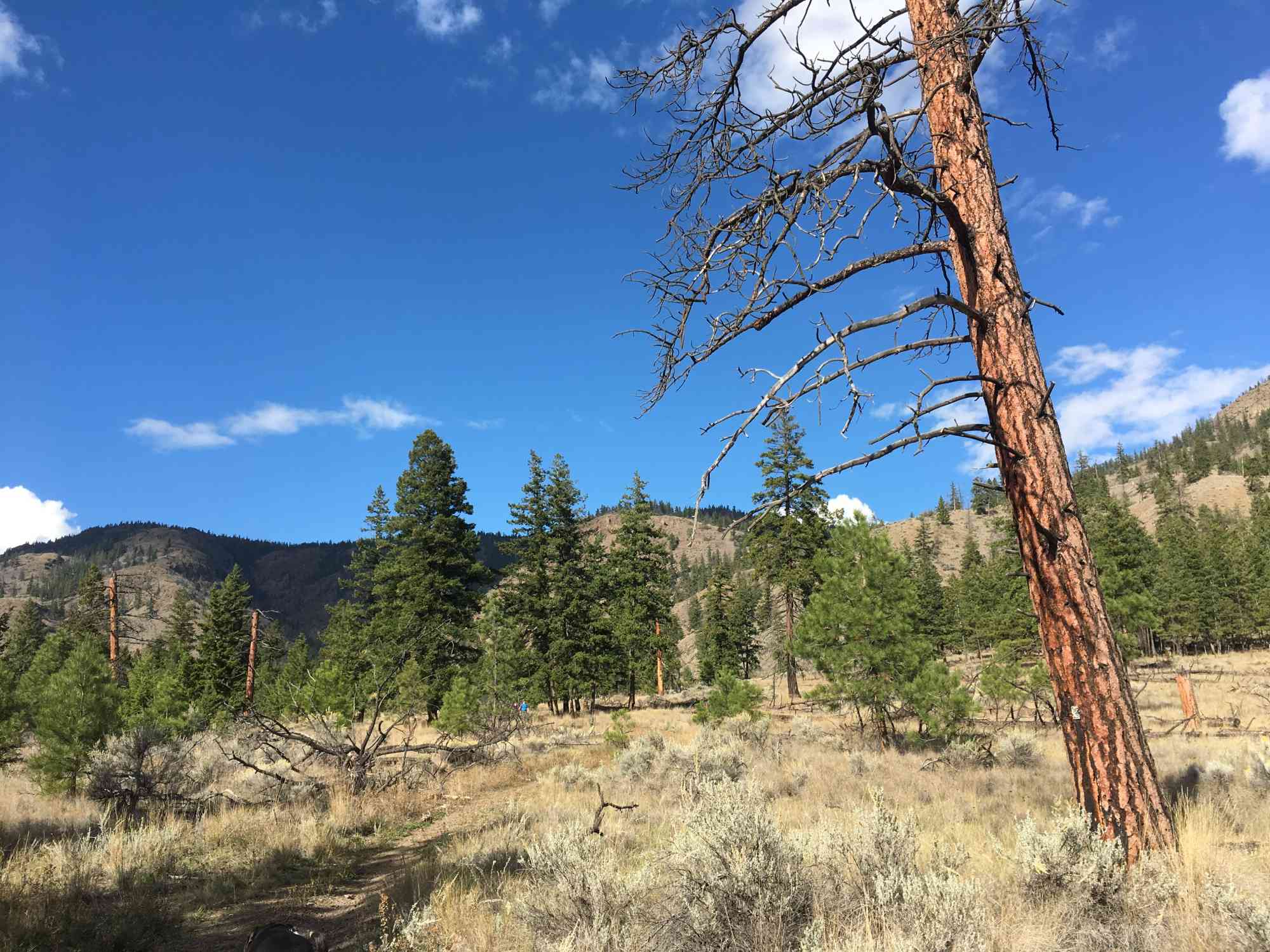
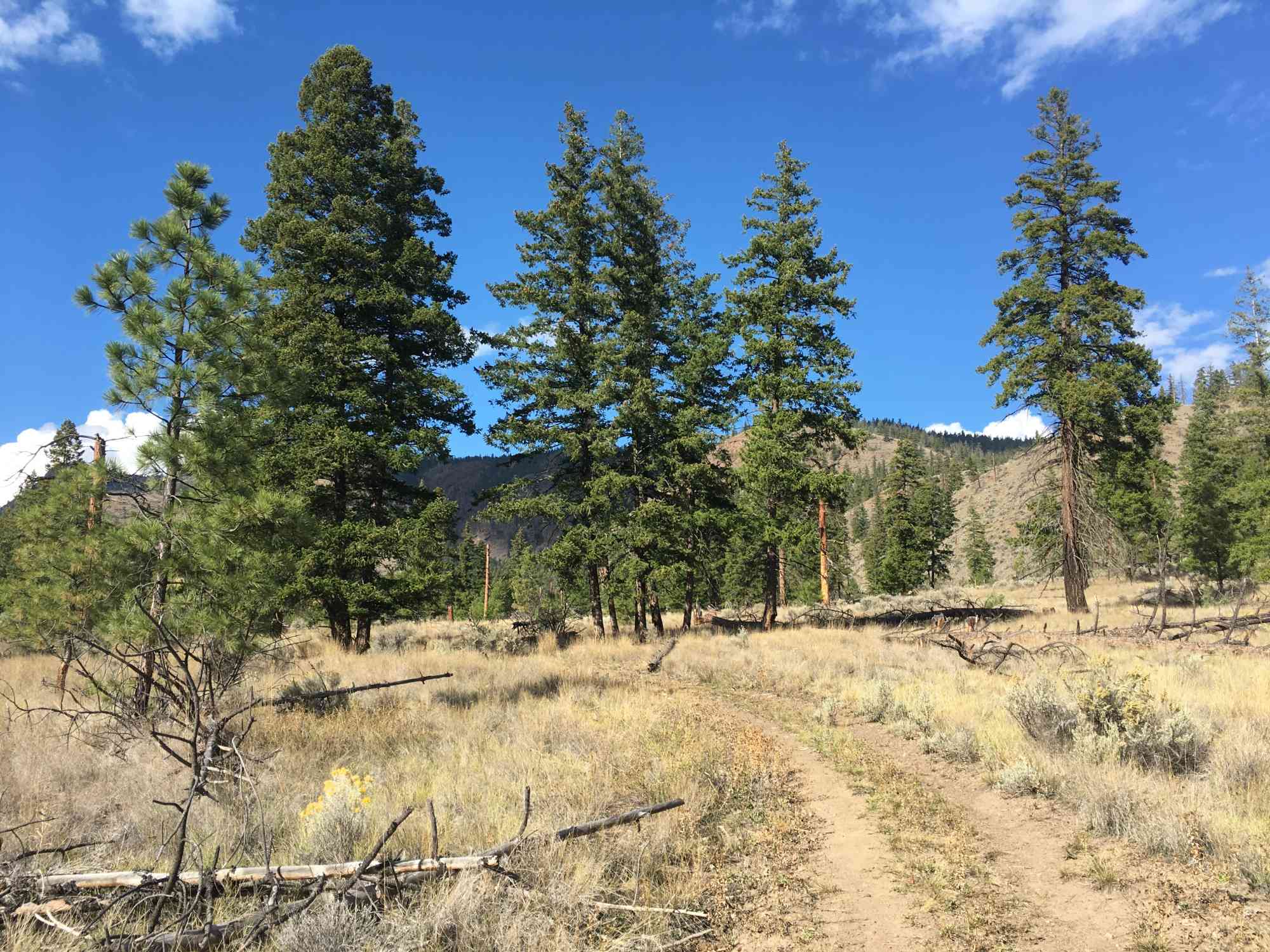
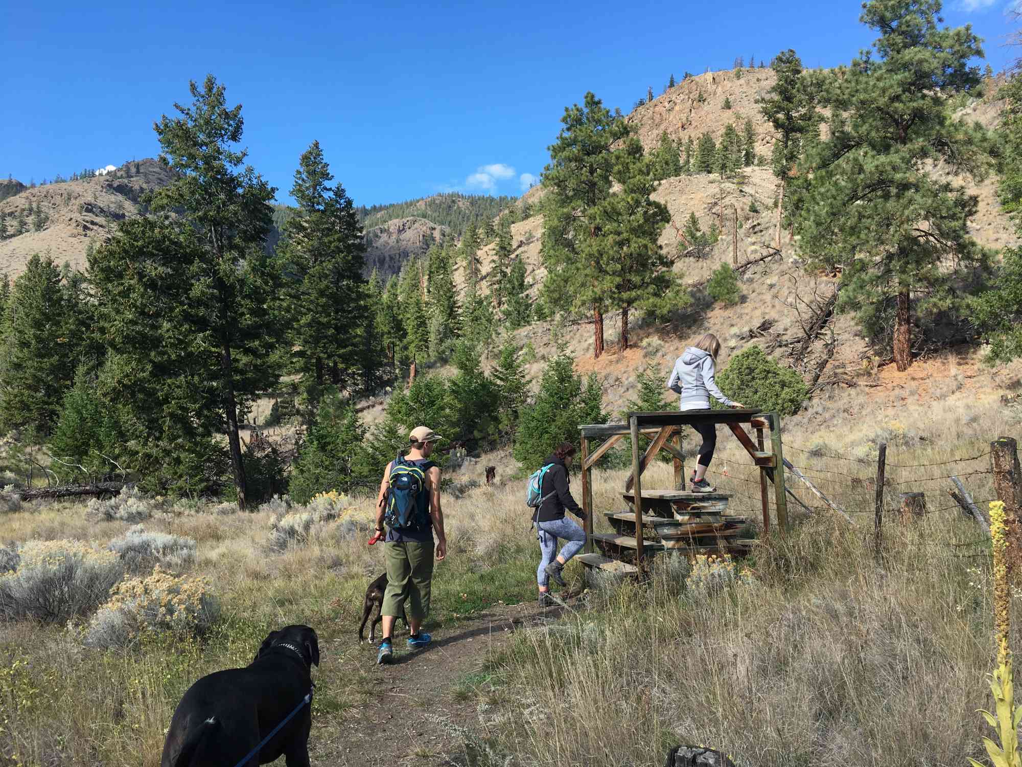
Frederick Rd, Savona, BCLocated in the Lac Du Bois Grasslands Protected Area, this is easily one of Kamloops' best single-track hidden gems. The trail begins as a meandering walkway at the base of the mountain before shortly becoming an intense ongoing uphill grind! Pass over a barbed wire fence about half a kilometre in, nestled amongst the dense network of sage brush, and prepare to sweat!
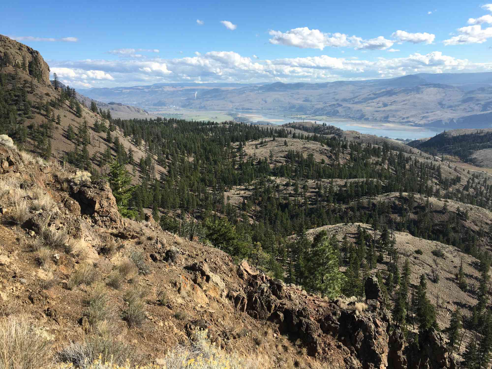
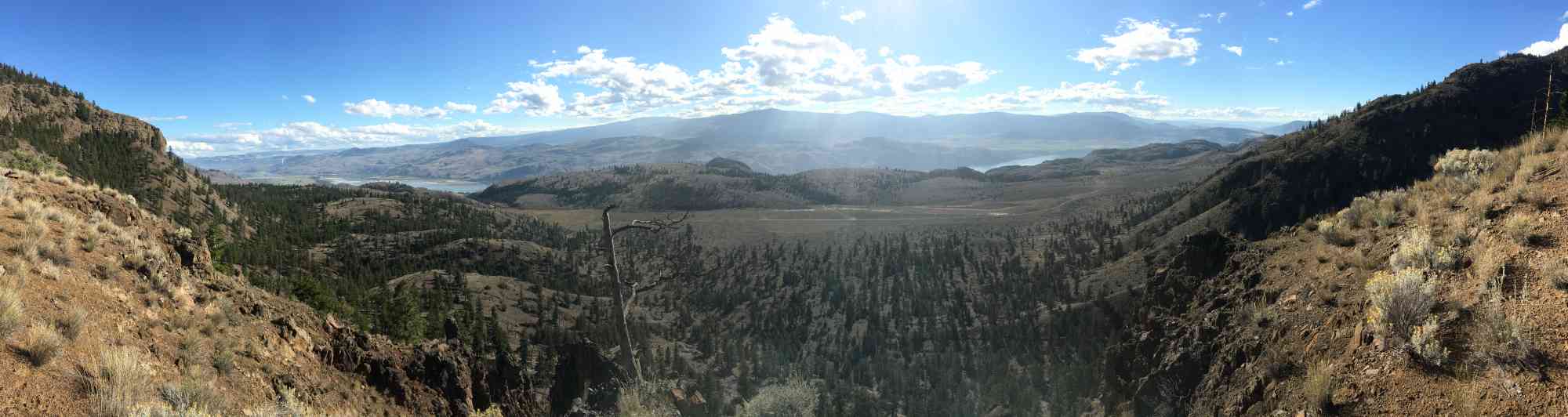
Reach a stellar viewpoint approximately two kilometres into the trail. It's a minor 200 meter detour, and absolutely worth the extra time. After continuing uphill, the trail begins to level out substantially and becomes a gorgeous ridgeline walk with numerous lookout points from the Ponderosa Pine forest.
After climbing to the bench and lookout at 5.22 km, sit back and relax as you've made it to the summit! Pack up and head back the same route home, or continue straight and follow all right-forks down the eastern double-wide 4x4ing track to the main road. If you go this route, there will be approximately 3.8 km of road-walking to get back to the parking lot.
Route
Kids & Pets
Features
Address
Driving Time
From Downtown Kamloops, approximate travel time by car is 29 min.
Notable GPS Co-ordinates
Detailed Directions
2) Turn RIGHT onto 8th Ave.
3) Turn LEFT onto Ord Rd.
4) Turn RIGHT onto Tranquille Rd.
5) Turn RIGHT after 5.4 km, and continue up the hill across the railway tracks instead of heading towards Tranquille Farms/Padova.
6) Turn LEFT after 4.1 km onto the dirt road (Frederick Rd: unlabelled)
7) After 650 meters, park in the parking lot on your left.
Google Directions
Linear Trail
Duration Calculator
The metrics for this trail have been converted to round-trip formation for distance and elevation gain/descent if necessary.
Estimated Time:
-- hours
We have a downloadable GPS map for this trail!
Last Updated on Sunday, January 26, 2025
Need help using it? See our FAQ.Map Waypoints
GPS Notes
Leave a comment
You must Login to post a comment!